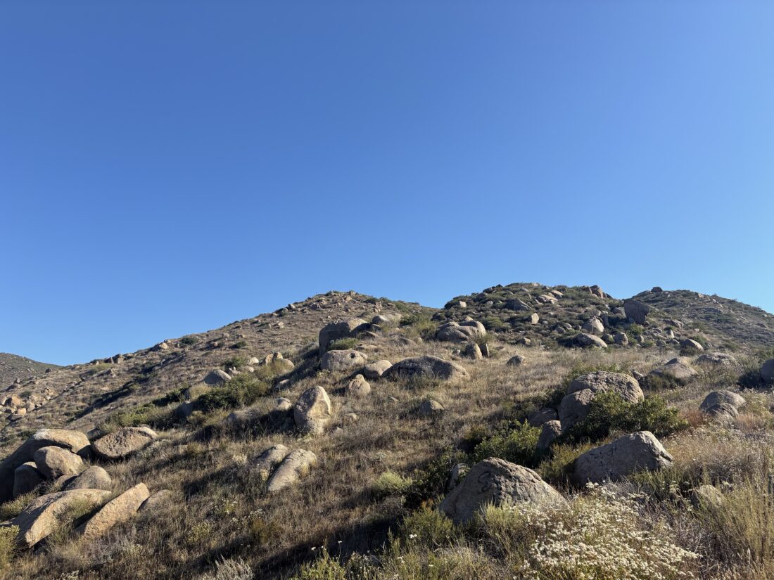
I awoke around dawn from my campsite next to Sunset Crater National Monument. Off to the north stood my destination for the day, O’Leary Peak. I made a nice breakfast over the camp stove before I gathered my gear to head out. Bonita Campground was just south of the service road that I would take to the summit. Rather than pack everything up to make the short drive out of my campsite and over to the actual trailhead, I simply hiked a bit cross-country. I did have to make a small scramble over an ancient lava flow, however. Once on the service road, I backtracked about 300 yards to the formal start of the trail, since I was filming this hike. And with that, I set off down the road. The first part of the hike was very mellow, as the road worked its way gently past the edge of the Bonita Lava Flow, then the boundary of Sunset Crater National Monument. At the base of the peak, the road began its climb. Thankfully, being a road, the grade was nothing dramatic.


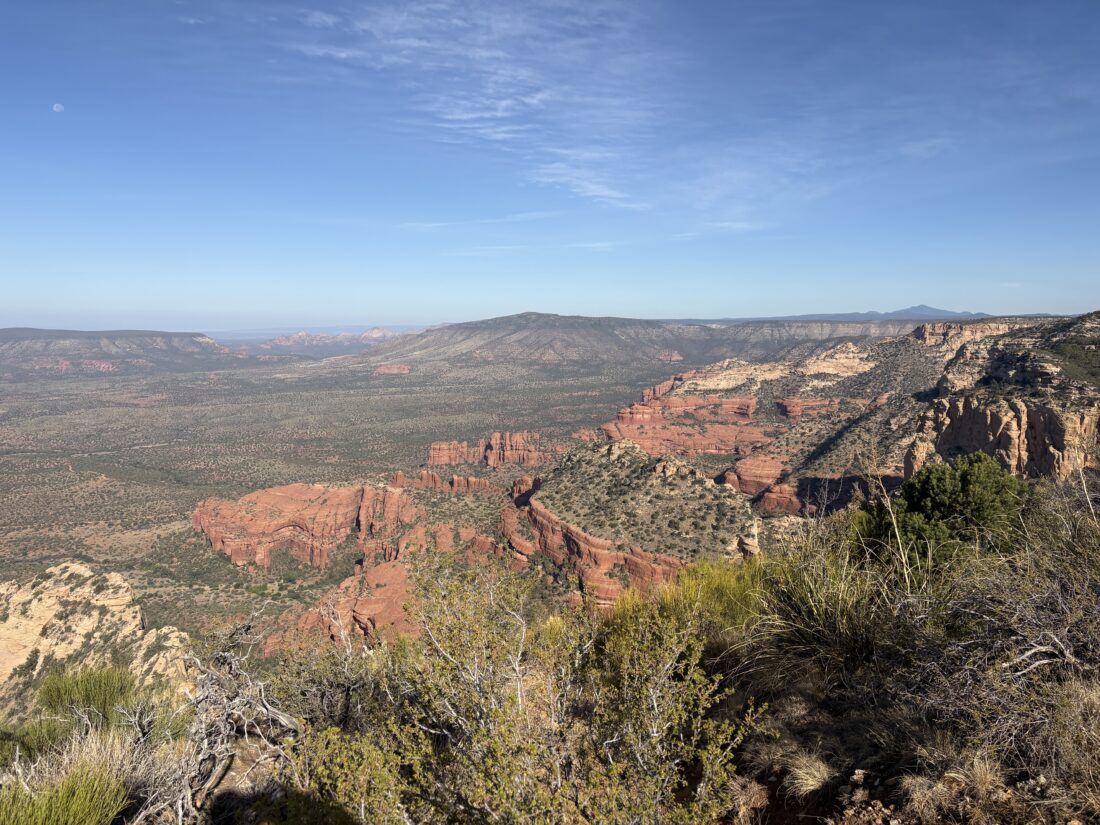
I kept cruising along, with views of Sunset Crater to my south, Darton Dome to my east, O’Leary rising above me to the north, and mighty Humphreys Peak to my west. Partway up, I saw the dust cloud of a car driving up the road, and moved to the side to let it pass. This was the person who would be staffing the tower, making their way to the summit. I continued on climbing toward the summit. As I passed through the saddle between Darton Dome and O’Leary, I knew I was almost there.


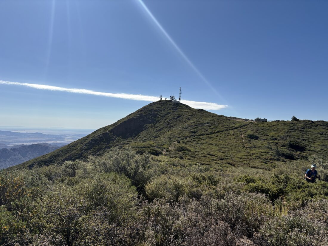
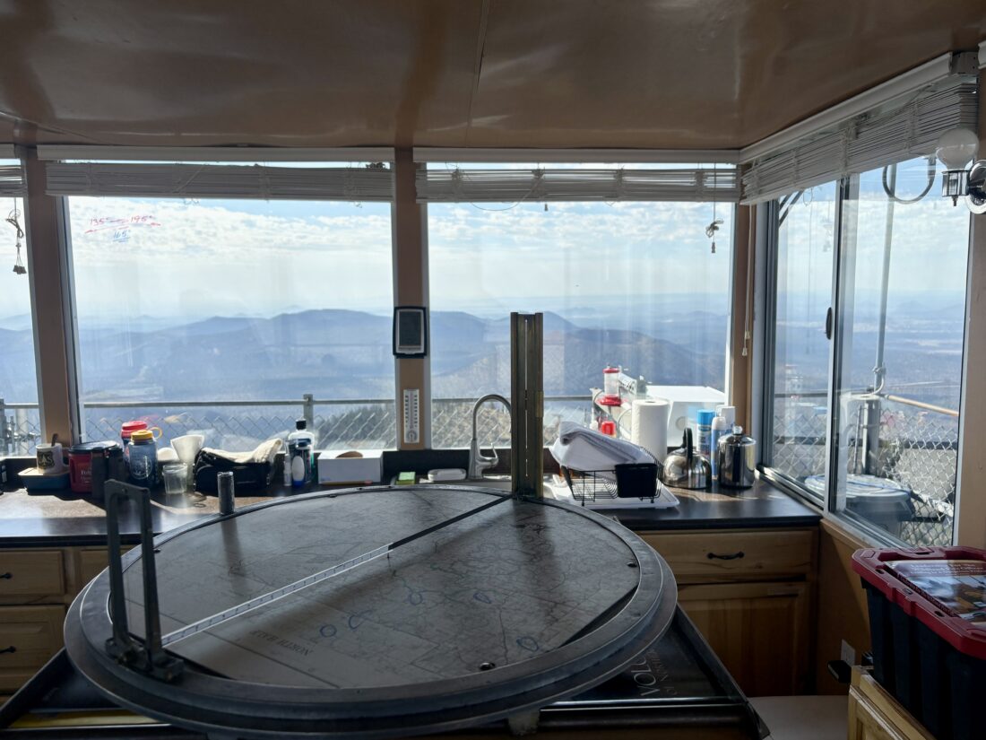
Soon, the tower came into view, and I had reached the summit. I slipped off my pack and took a few photos from the summit. Shawn, who passed me earlier, invited me up the tower. I mentioned I had been in many towers before, so the “Fire Lookout Tower Intro Talk” wasn’t needed. We chatted about various things, including the Dragon Bravo Fire. He shared some video taken by his colleagues of the fire and the aftermath of the Lodge at the North Rim. After about 30 minutes, I said farewell and wished him an easy day. The return from the summit went quickly. From time to time, I would move a rock off to the side of the road to prevent an accidental flat tire. The entire hike was 9.91 miles with 2,032 feet of gain, and I had a moving time of 3:06. After cleaning up at the campsite, I drove into town to take care of some online chores and attend an orientation session for grad school. Just one more peak to climb to finish off the Arizona Summer Six Pack of Peaks Challenge!


I am an avid peak bagger, sometimes backpacker, and former sea kayaker living in San Diego. I am the co-author of Urban Trails: San Diego, coming in Spring 2026!
In 2019, I became the third person to complete the San Diego 100 Peak Challenge. Not stopping with that accomplishment, I set my sights on the harder San Diego Sierra Club 100 Peak list, which I completed in 2021. In addition, I have conquered several Six-Pack of Peaks challenges (SoCal, San Diego, Central Coast, and both the Arizona-Winter and Arizona-Summer).
I am looking forward to exploring new summits and new adventures across the southwest.