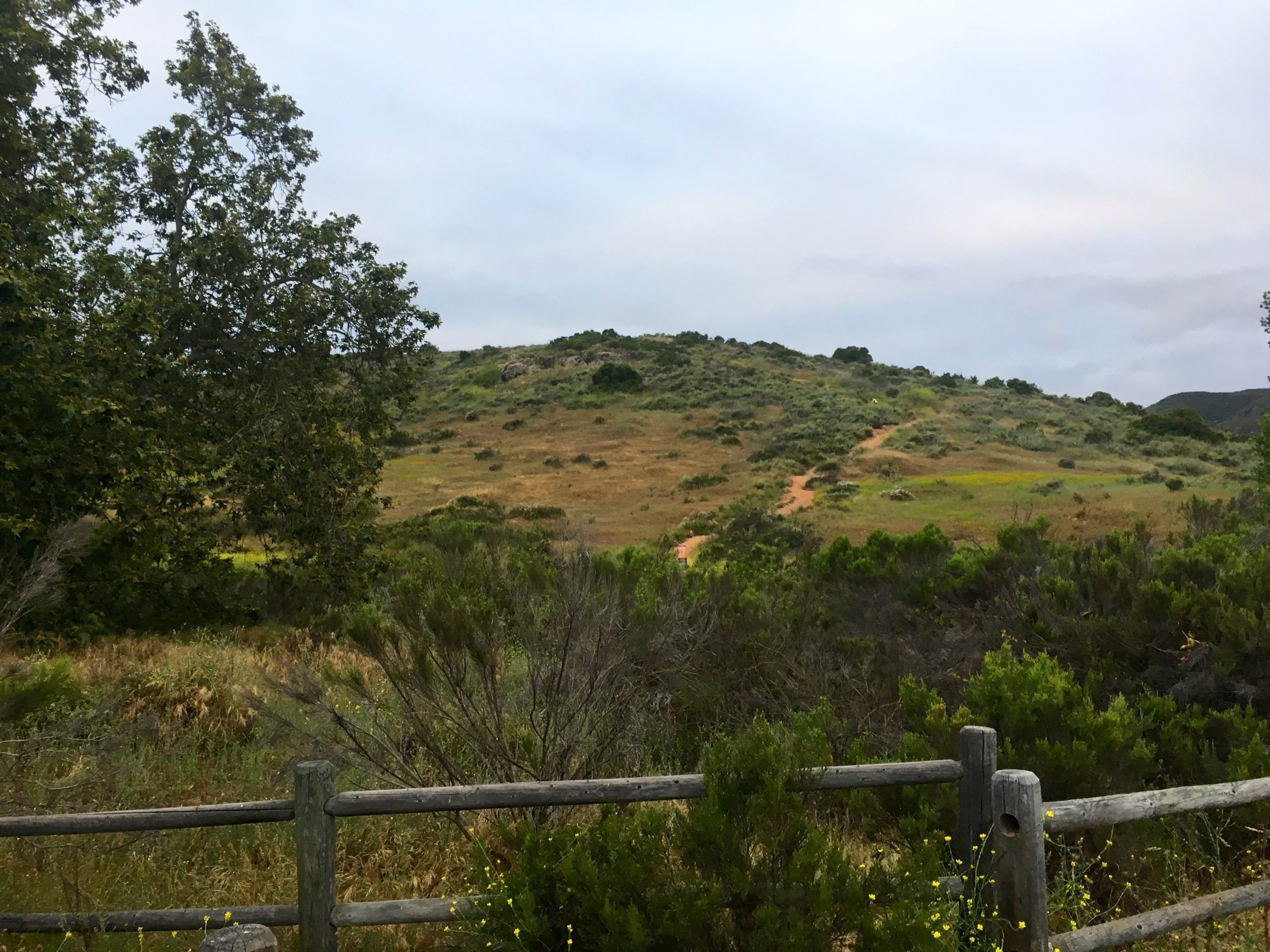
Grasslands Loop

Decided to do an early morning hike along the Grasslands Loop Trail in Mission Trails. However, this time I opted to start from the East Fortuna Staging Area which has plenty of parking for both cars and horse trailers. This staging area has several horse pens and a dedicated larger horse corral, as the Grassland Loop Trail is horse-friendly.

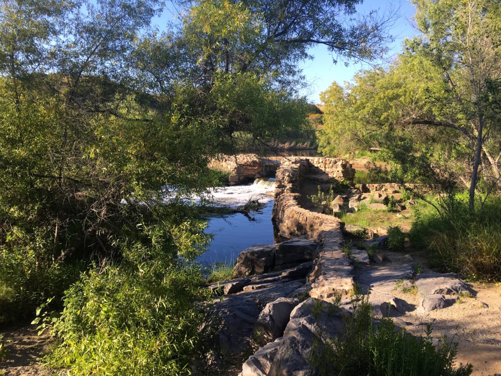
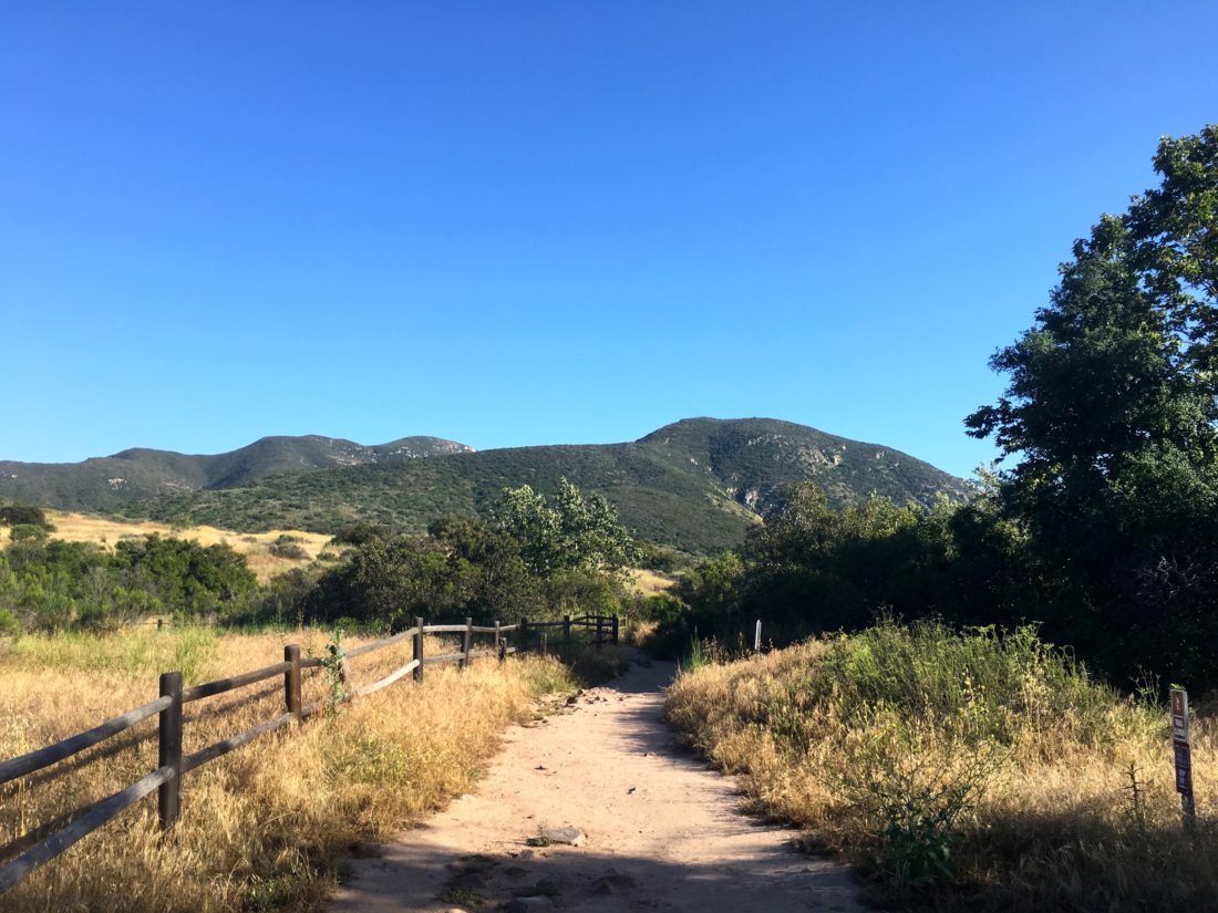
I started from the trailhead on the northwest side of the parking area. This flat dirt trail meanders past a vernal pool before linking with the North Fortuna Perimeter Trail (the other option from the parking area). After a short distance, I turned south toward the Grassland Crossing Trail to join the Grassland Loop North Trail. The now golden grasslands spread out before me. Kwaay Paay stood proudly to my south, and the Fortunas rose to the west. Others were also out enjoying the trails as well. The trail now turned south, and paralleled Oak Canyon, which was to the west. While a short connector trail would take me over to it, I remained on the Grasslands Trail. Soon I came to the Old Mission Dam Overlook. While the bench was inviting, I had chores to do back home.

From there I headed northeast, passing a collection of morteros, before rejoining the Grasslands Connector trail. I considered taking this short spur over the San Diego River but opted not to. I found myself back at the North Fortuna Perimeter Trail heading back toward the parking area. A nice easy 2.5-mile loop to stretch out my legs.


I am an avid peak bagger, sometimes backpacker, and former sea kayaker living in San Diego. In 2019, I became the third person to complete the San Diego 100 Peak Challenge. Not stopping with that accomplishment, I set my sights on the harder San Diego Sierra Club 100 Peak list, which I completed in 2021. In addition, I have conquered several Six-Pack of Peaks challenges (SoCal, San Diego, Central Coast, and Arizona-Winter). Beyond attempting the San Diego Sierra Club 100 Peak list a second time, I am looking forward to exploring new summits and new adventures across the southwest. 
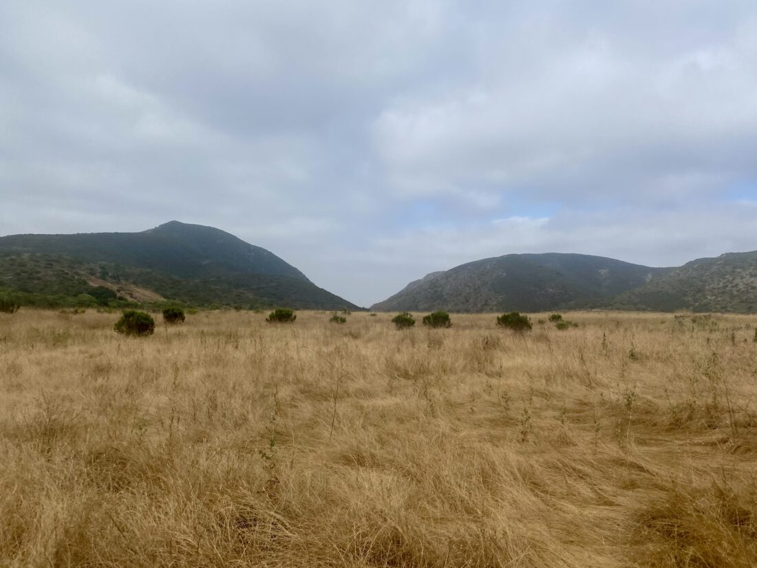
Cowles Mountain & Pyles Peak

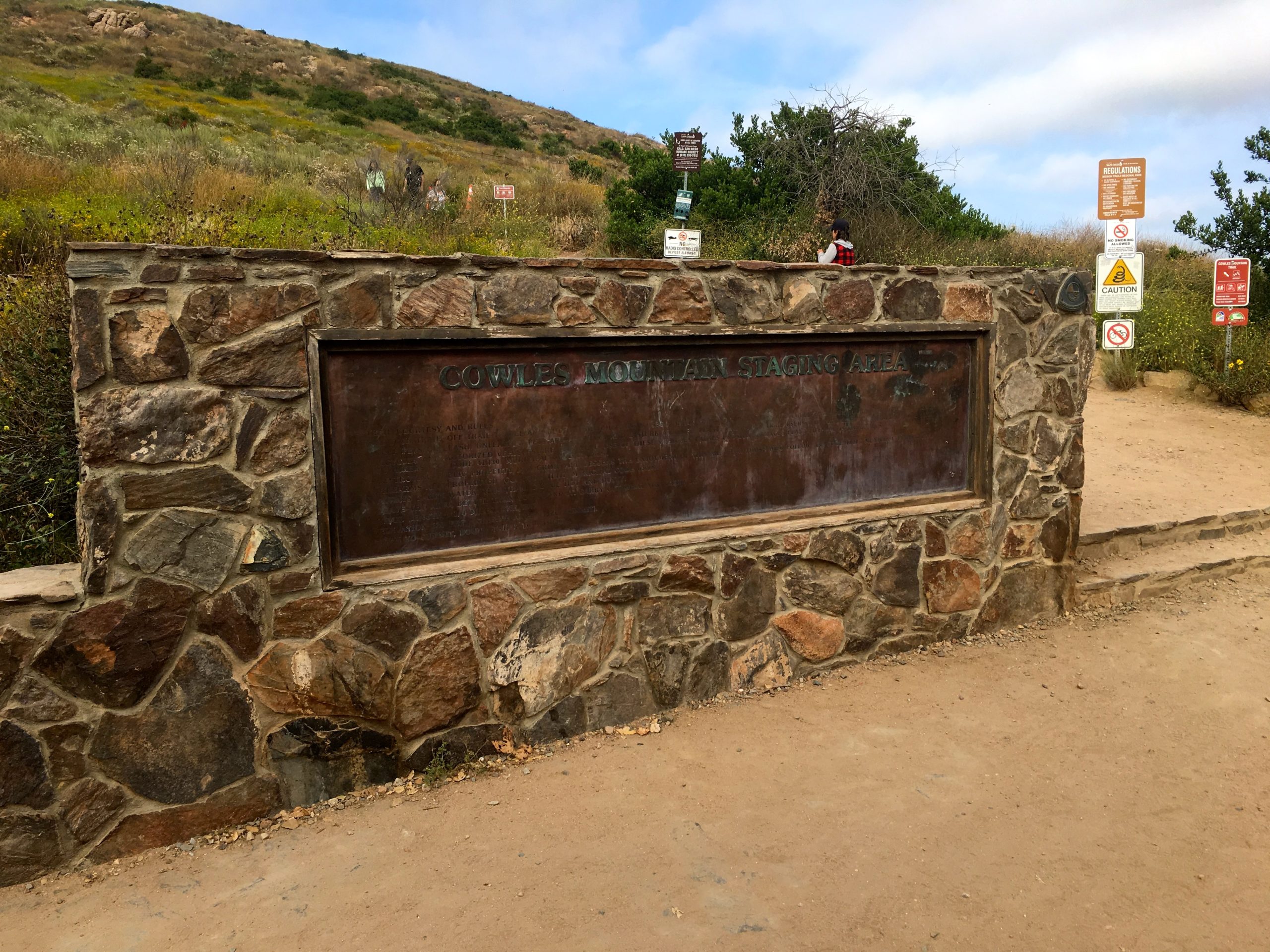
With “May Grey” in full force, I figured an early morning hike up Cowles Mountain, and then over to Pyles Peak would be a good choice. I needed to photograph the new summit marker that now sits atop Pyles Peak, and having a nice layer of clouds to keep the sun away sounded perfect. Since Covid-19 is still an actual issue, I opted not to take the shorter (and generally crowded) route up from Golfcrest to the summit to Cowles. Instead, I planned to either take the Barker Way route or the Big Rock route. In the end, I settled on the Barker Way route, mostly since it was a bit shorter than the Big Rock route. I found a spot on the street near the trailhead, grabbed my gear, and set off.

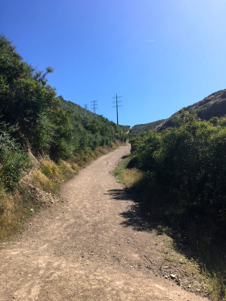
I actually had another choice to make almost immediately—do I take the service road all the way to the summit of Cowles, or do I take the trail to my left? The trail won the coin toss. There was no actual coin tossing, as trails will almost always win for me. The trail worked its way up the south side of Cowles, passing through the chaparral. Occasional steps helped lessen the grade as I kept climbing. I passed a connector trail that I could take to rejoin the service road, but I kept going, as there was another one closer to the summit that I planned to take. The trail I was on would actually connect with the route up from Golfcrest, and I had no desire to do that. From there I followed the service road to the summit of Cowles. I had never been on the service road, and was surprised at how steep it was.

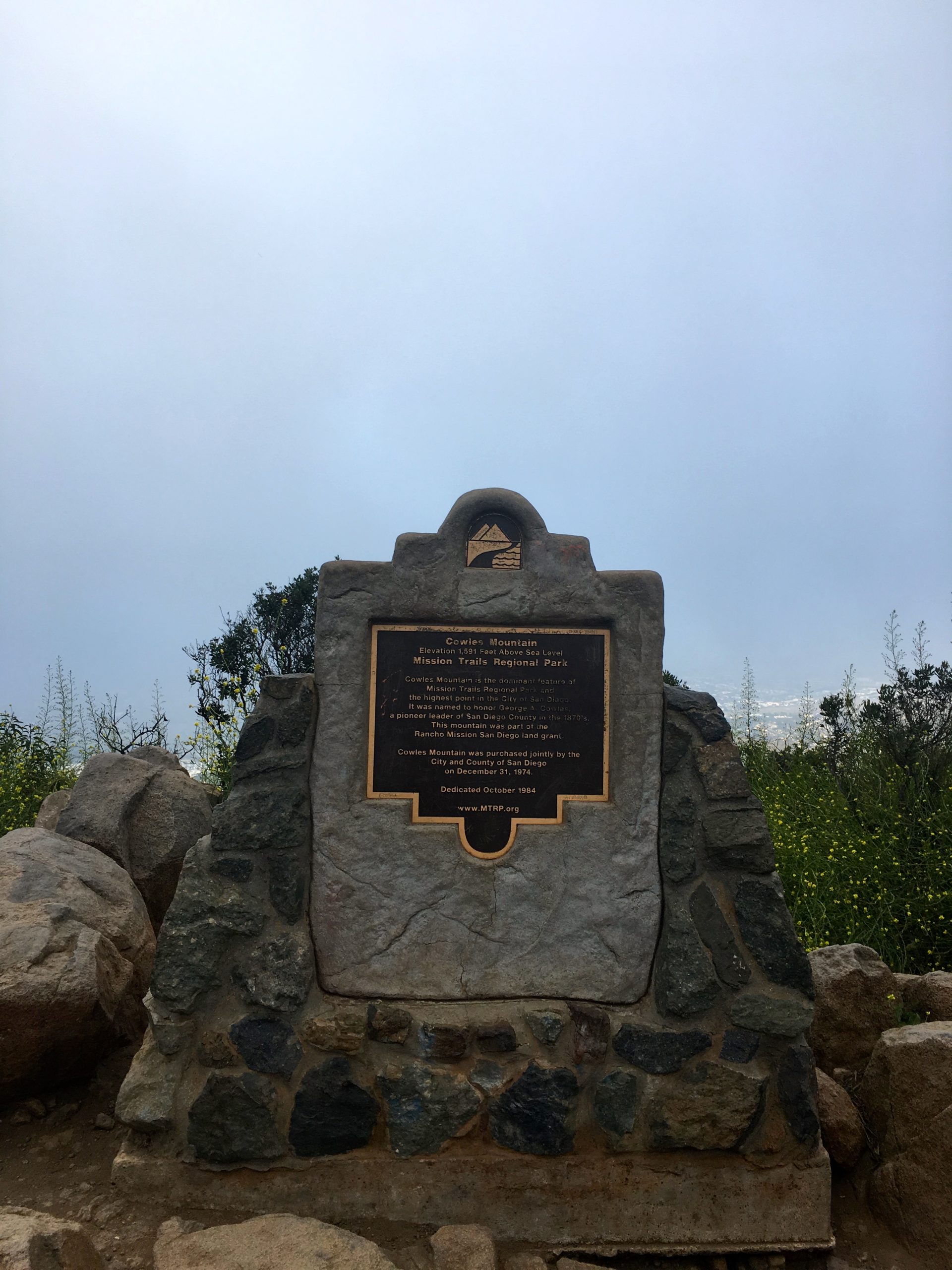
At the summit I grabbed a quick photo of the marker and continued on. The marine layer hid much of the view, plus I still had another 1.5 miles to the summit of Pyles. 

I worked my way down the trail, losing about 300 feet of elevation before making a small climb and then more descent. Finally, I reached the start of the climb to the other summit. Once I reached it, two other hikers were taking a break here. I was on a work call, so I couldn’t stop and chat. I photographed the new marker and began back down.

The towers atop Cowles loomed to the south and I climbed back toward them. So far my neck, which had been giving me issues, was feeling ok. Once back at the Cowles summit, I snapped a few more photos. In case you are wondering, crossing back over a summit does not count as a new ascent.

I followed the service road back toward the connector, but instead of completely retracing my route, I opted to stay on the service road all the way down. Once back at the car I tossed my gear in and headed home. The peacefulness of the hike let me explore some ideas around a new interface design I am creating at work. Sometimes it is best to step away from the screens to give yourself some time to focus. I logged my hike at 5.8 miles in 2:39 and over 1,764 feet of net elevation gain. Now to finish that trail guide…


I am an avid peak bagger, sometimes backpacker, and former sea kayaker living in San Diego. In 2019, I became the third person to complete the San Diego 100 Peak Challenge. Not stopping with that accomplishment, I set my sights on the harder San Diego Sierra Club 100 Peak list, which I completed in 2021. In addition, I have conquered several Six-Pack of Peaks challenges (SoCal, San Diego, Central Coast, and Arizona-Winter). Beyond attempting the San Diego Sierra Club 100 Peak list a second time, I am looking forward to exploring new summits and new adventures across the southwest. 

South Fortuna*

Since all the construction blocked my access from the West Fortuna Staging area last week, I decided to use the southern approach. This route crosses the San Diego River, since we hadn’t had any rainfall in some time, I knew it would be safe to cross. This is not a route to take if there is any real water flow. Sadly, this crossing can be deadly. 

Once safely across, I began the steep climb to connect with the Suycott Valley Trail and then dropped back down to link up with the South Fortuna Trail. From there I started climbing up toward the infamous “South Fortuna Stairs”. 

At the base of the stairs, I took the photos I needed for the trail guide I am writing for SoCal Hiker and headed back. I really had no desire to summit this peak again, as I had been there since the new summit marker was installed. The return to the car went quickly, and a few more folks were milling around the river as I crossed back over. 


I am an avid peak bagger, sometimes backpacker, and former sea kayaker living in San Diego. In 2019, I became the third person to complete the San Diego 100 Peak Challenge. Not stopping with that accomplishment, I set my sights on the harder San Diego Sierra Club 100 Peak list, which I completed in 2021. In addition, I have conquered several Six-Pack of Peaks challenges (SoCal, San Diego, Central Coast, and Arizona-Winter). Beyond attempting the San Diego Sierra Club 100 Peak list a second time, I am looking forward to exploring new summits and new adventures across the southwest. 

North Fortuna

I needed to think through a presentation I was making the next day, so I figured a nice hike would help me focus. Since I needed some photos for some trail guides I am writing, I decided to hike up the Fortunas in Mission Trails. I wanted some better photos of the “infamous” South Fortuna stairs and the new summit marker atop North Fortuna. As I neared the parking lot, I remembered there was some construction happening on this side of the park, courtesy of the San Diego Water District. I looked over the map and realized that I wasn’t going to have an easy route to get to the South Fortuna stairs, but I still had a route to North Fortuna. 

I crossed the bridge into the park and headed north toward the Rim Trail. Clear signs warned me about various closures and detours. Cruising along the trail, I could see two work areas, to the northwest and southeast. The work was supposed to be done in early 2022, but construction is rarely on time. I reached four corners and had a decision to make – I could take the Suycott Valley Alternative Trail to connect to the Fortuna Saddle Trail and then the summit, or I could take the Shepherd Ridge Trail to approach the summit from the north side. Since I had never done North Fortuna from the north side, my choice was an easy one. 

I had passed a few folks on the trail, but as it was about 4 pm on a Thursday, I did not expect to see many. The trail took me northward, getting closer to the northern edge of the park and the 52 freeway. The evening commute was starting to pick up. The trail connects briefly with the Perimeter Trail before turning southward to begin the real climb up North Fortuna.

While it wasn’t the South Fortuna Stairs, I did have a small section of stairs to assist me. After crossing a false summit, the real summit was just a short bit away. I snapped my photos and took a short break before continuing southward toward the saddle. 

I took the saddle back down to the west until it reached Suycott Valley Alternative Trail. Normally, I would stay on this trail, but the construction closure prevented that. As I made my way on the trail back toward Four Corners, it was clear that this trail was heavily favored by mountain bikers, and was glad I was here on a weekday. I would not recommend this trail on a weekend. Once back at Four Corners, I retraced my route to the car. Just before I started the short climb from Four Corners, two mountain bikers came screaming down the wide trail, reaffirming my thoughts about weekend use. As I made my way back to the car, I passed several more mountain bikers. Back at my car, I saw that both sides of the street were now packed. This route was 5.75 miles with 1,112 feet of elevation gain.  


I am an avid peak bagger, sometimes backpacker, and former sea kayaker living in San Diego. In 2019, I became the third person to complete the San Diego 100 Peak Challenge. Not stopping with that accomplishment, I set my sights on the harder San Diego Sierra Club 100 Peak list, which I completed in 2021. In addition, I have conquered several Six-Pack of Peaks challenges (SoCal, San Diego, Central Coast, and Arizona-Winter). Beyond attempting the San Diego Sierra Club 100 Peak list a second time, I am looking forward to exploring new summits and new adventures across the southwest. 
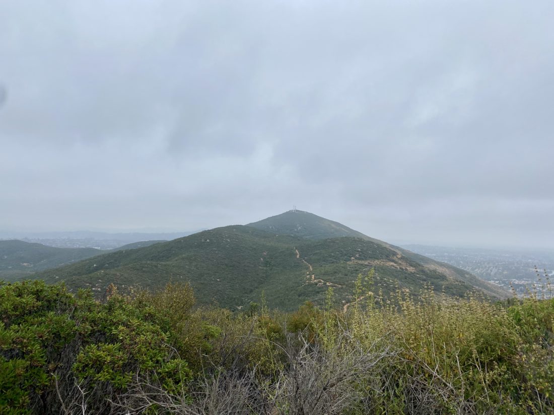
Kwaay Paay

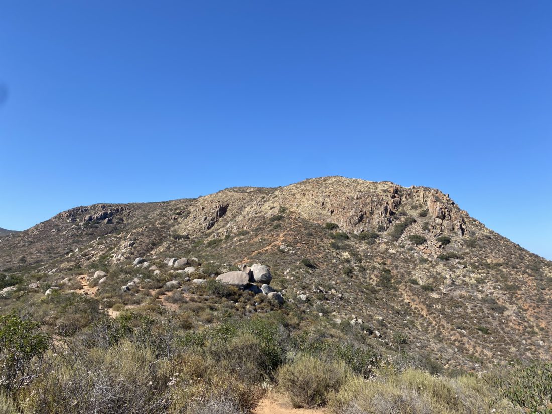
Another peak I needed some more photos for my trail guide on SoCal Hiker was Kwaay Paay. Kwaay Paay, meaning “chief” in the language of the Kumeyaay people who called the area home for thousands of years, stands alone on the southeast side of Mission Gorge. This is a short 2.8-mile hike, so I decided to do it over a long lunch break. Ted Markus was off, so he joined me in doing this peak.

We cruised up the trail to the peak, encountering a few hikers here and there. Ted did comment that he wishes he brought his poles (hum, might have mentioned that in the trail guide…).

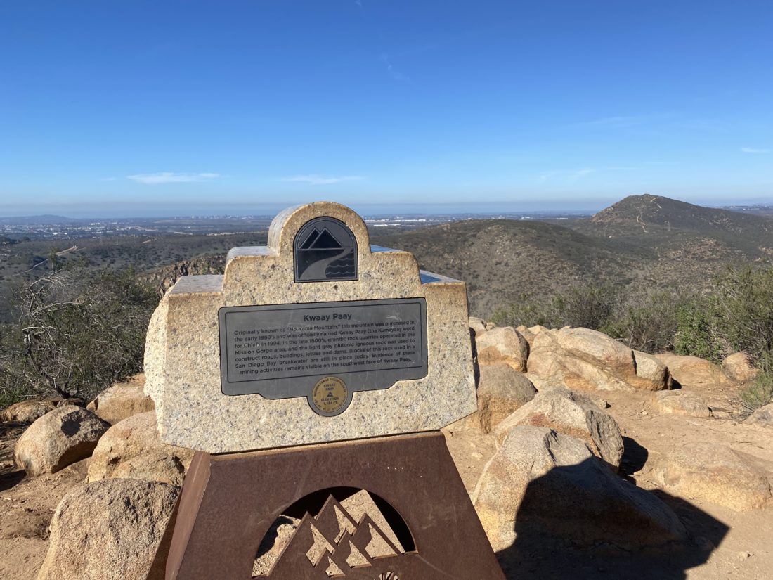
The summit was nice, I had not been here since the new summit marker was installed. This was one of the reasons I needed to do this peak again. We hustled back down, grabbed lunch at Mi Ranchito in PQ, and enjoyed their fine Mexican food in my backyard.


I am an avid peak bagger, sometimes backpacker, and former sea kayaker living in San Diego. In 2019, I became the third person to complete the San Diego 100 Peak Challenge. Not stopping with that accomplishment, I set my sights on the harder San Diego Sierra Club 100 Peak list, which I completed in 2021. In addition, I have conquered several Six-Pack of Peaks challenges (SoCal, San Diego, Central Coast, and Arizona-Winter). Beyond attempting the San Diego Sierra Club 100 Peak list a second time, I am looking forward to exploring new summits and new adventures across the southwest. 

Grasslands Loop

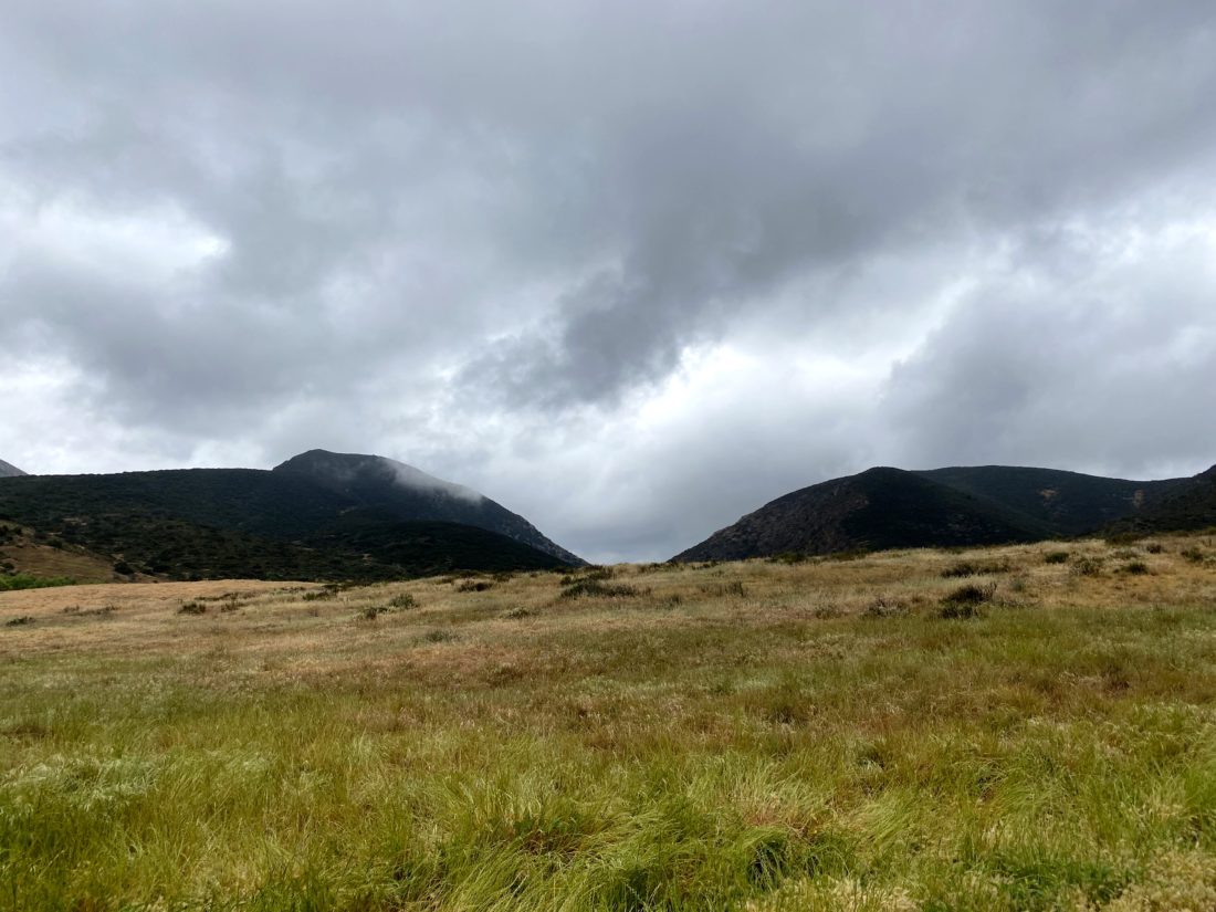
The second hike of the day was to do the Grassland Loop & Oak Canyon out in Mission Trails. The Oak Canyon portion was one of the hikes I recommended for my synagogue’s Stepping Into Israel hiking challenge. I decided to add the Grasslands Loop for a change of scenery while doing it. The skies were still grey and a light mist was falling as I set off. Since almost all of this hike has no shade, this was welcomed hiking weather. The trail was mostly empty, in part due to the weather. The stream was once again dry. Making my way back to the car, I passed a nice collection of morteros. Once back at the car, I headed off to grab lunch and then my third hike of the day.


I am an avid peak bagger, sometimes backpacker, and former sea kayaker living in San Diego. In 2019, I became the third person to complete the San Diego 100 Peak Challenge. Not stopping with that accomplishment, I set my sights on the harder San Diego Sierra Club 100 Peak list, which I completed in 2021. In addition, I have conquered several Six-Pack of Peaks challenges (SoCal, San Diego, Central Coast, and Arizona-Winter). Beyond attempting the San Diego Sierra Club 100 Peak list a second time, I am looking forward to exploring new summits and new adventures across the southwest. 

Cowles Mountain & Pyles Peak

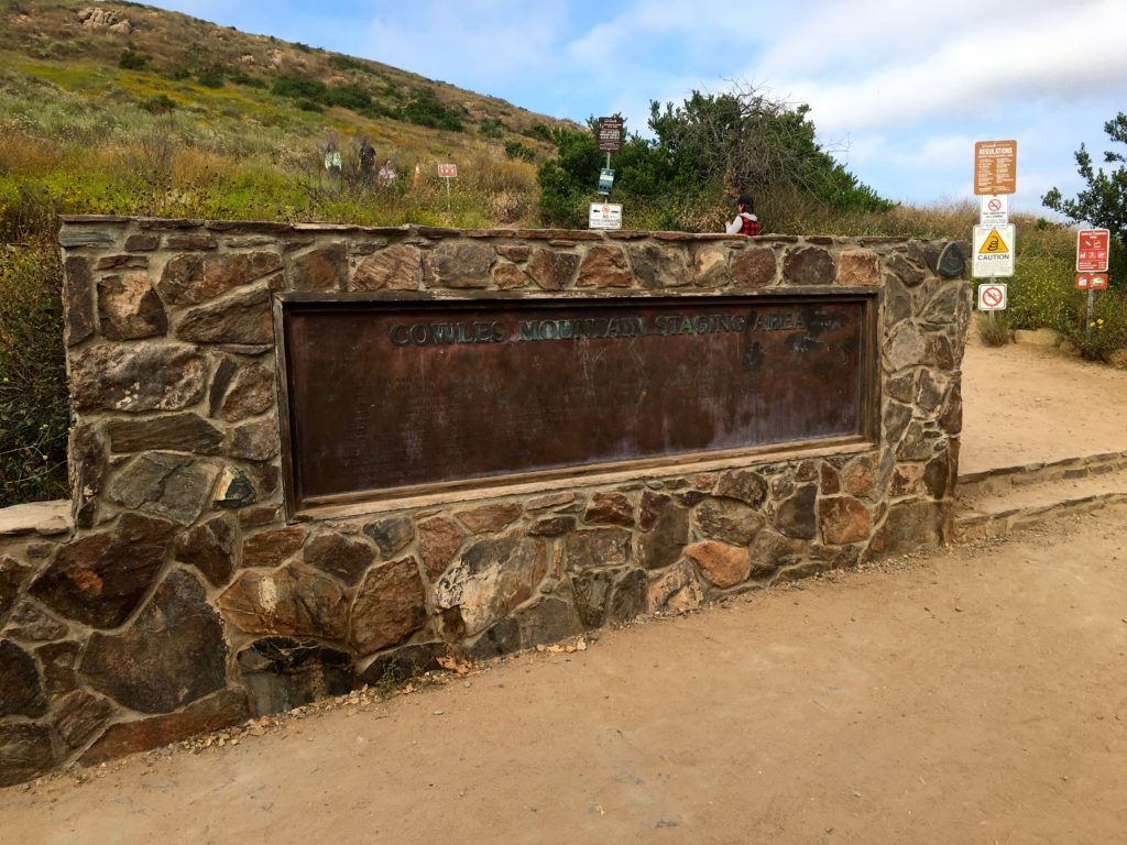
The San Diego Adventure Club was hosting an evening hike up Cowles Mountain and onto Pyles Peak. Since Cowles is so popular, any chance to do it when there is less crowded I will take it. June Gloom was in full force as we set off from the Staging Area near Golfcrest.

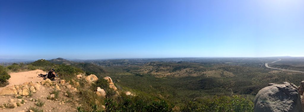
We quickly found ourselves at the summit of Cowles, amongst a small crowd of folks. There was a slight breeze, so we did not linger, a couple of quick photos before we headed off toward Pyles.

One of the hikers in the group was excited, as once she summited Pyles, she will have completed the Mission Trails 5 Peak Challenge. We descended down from Cowles and across the saddle.

Some opted to take the side trail to the top of P1380, but with the low clouds, I opted to skip it this time. We made our way up to the summit and again took our photos. It was getting later and a tad chilly. We began making our way back down. The group opted to descend via a use trail near an overlook. I opted not to follow and return the same way.

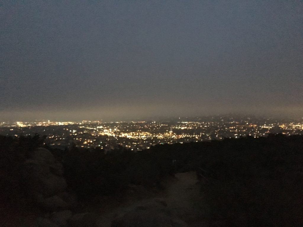
Once I reached the summit of Cowles, I broke out my headlamp and began the careful trek down. The last thing I wanted to do was to turn an ankle with a simple misstep. There were some city lights to provide some visual treats. I was surprised at the number of people still climbing up with maybe an iPhone to light their way.

These summits complete my second Mission Trails 5 Peak Challenge and #34 and #35 of my 100 Peak Challenge Reboot.


I am an avid peak bagger, sometimes backpacker, and former sea kayaker living in San Diego. In 2019, I became the third person to complete the San Diego 100 Peak Challenge. Not stopping with that accomplishment, I set my sights on the harder San Diego Sierra Club 100 Peak list, which I completed in 2021. In addition, I have conquered several Six-Pack of Peaks challenges (SoCal, San Diego, Central Coast, and Arizona-Winter). Beyond attempting the San Diego Sierra Club 100 Peak list a second time, I am looking forward to exploring new summits and new adventures across the southwest. 

North & South Fortuna

I had hiked the Fortunas a number of times when I lived in Tierrasanta. When summiting them again for the 100 Peak Challenge Reboot, I decided that they should have their own post and not be a part of my Mission Trails 5 Peak Challenge post.

Rather than follow my standard route of up the South Fortuna stairs then over to North Fortuna and back to the Clairemont Mesa trailhead, I opted to approach these peaks via the Oak Canyon route. Since we just had some more rain, I knew that I would have a flowing stream for part of the trail to enhance the scenery.

I parked along the road near the Old Mission Dam and quickly crossed the bridge and onto the trail leading up to Oak Canyon. The rains had certainly created a lot of growth along the trail. The trail to the Fortuna Saddle provided a good hard warm-up.

Once at the saddle, I opted to summit North Fortuna first. I worked my way up toward the peak, which is initially hidden from the saddle. Since it was a late Friday afternoon, the traffic on the trails was light. I did encounter two hikers asking about routes since I carry a paper map, I showed them where we were and the best route back to the visitor center. I let them keep it.

Atop the summit, I could see the clouds starting to form to the east, as a storm was forecast for the weekend. I opted not to sign the register, and then back retracing my route down to the saddle. The new peak marker had not been installed here yet.

The trail up to South Fortuna was a bit easier and much easier than up the stairs. The marker for South Fortuna has been replaced with one that is a bit more impressive. Across the canyon, I could see Kwaay Paay standing tall, and Cowles and Pyles a bit beyond that.

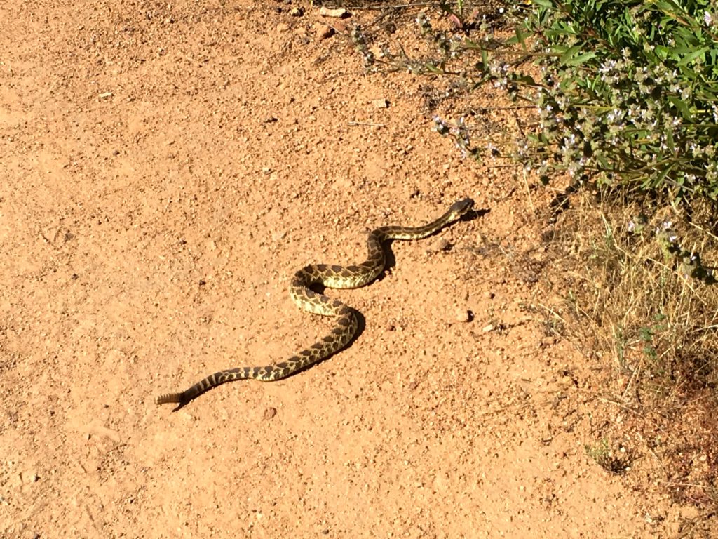
While descending toward the saddle from South Fortuna, a rattlesnake was making its way across the trail in front of me. I let it pass, but it still stopped and hissed at me as I gave it a wide berth.

Retracing my route down Oak Canyon, I pass the Oak tree with a very bent branch. One of my favorite family photos was taken here. I had to reflect that in a few weeks, my twins would be graduating high school and moving on with their lives.


I am an avid peak bagger, sometimes backpacker, and former sea kayaker living in San Diego. In 2019, I became the third person to complete the San Diego 100 Peak Challenge. Not stopping with that accomplishment, I set my sights on the harder San Diego Sierra Club 100 Peak list, which I completed in 2021. In addition, I have conquered several Six-Pack of Peaks challenges (SoCal, San Diego, Central Coast, and Arizona-Winter). Beyond attempting the San Diego Sierra Club 100 Peak list a second time, I am looking forward to exploring new summits and new adventures across the southwest. 

Kwaay Paay

Since I had to drop my daughter and friend off at 5:15 am to catch a train to a youth group event in Simi Valley, I decided to see if I might be able to sneak a short hike in before the predicted rains came. While Kwaay Paay seemed to fit the bill, short and in-town. I drove out to Mission Trails and parked in the lot just outside the locked gate. The skies were gloomy as I made my way down the road to the trailhead. While Kwaay Paay is a short hike, it does offer a nice elevation gain to offset that.

Working my way up, I encountered a few early-morning folks trying to squeeze in a workout before the rains came. The trail has seen some damage from the winter’s rains, so there were a few rutted sections to be aware of.

The cloudy skies did dampen the views at the summit, which was still sporting the old summit sign. The Fortunas were visible from across the canyon.

On the way down I opted to take the east side trail just for something different. This trail follows the eastern edge of the park next to the apartments.

I made it back to the car, and about 3 minutes later the rain came. This was peak #28 of the #100PeakChallenge Reboot.


I am an avid peak bagger, sometimes backpacker, and former sea kayaker living in San Diego. In 2019, I became the third person to complete the San Diego 100 Peak Challenge. Not stopping with that accomplishment, I set my sights on the harder San Diego Sierra Club 100 Peak list, which I completed in 2021. In addition, I have conquered several Six-Pack of Peaks challenges (SoCal, San Diego, Central Coast, and Arizona-Winter). Beyond attempting the San Diego Sierra Club 100 Peak list a second time, I am looking forward to exploring new summits and new adventures across the southwest. 

5 Peaks of Mission Trails

I used to live in Tierrasanta and Mission Trails was my go-to place to hike. When the twins were little, I would do a loop with them in the jogging stroller. There are five summit-able peaks in Mission Trails: Cowles, Pyles, North Fortuna, South Fortuna, and Kwaay Paay. I summited these peaks again as part of the park’s 5 Peak Challenge. The first set of summits was the Fortunas. These will give you a nice workout, especially up the “stairs” to South Fortuna. I bagged Kwaay Paay after work. This peak is a great little summit, as it gets a lot less traffic than the other four. Cowles Mountain is one of the most popular hikes in town. So, I opted to approach it from the backside to avoid some of the crowds. Once at the summit, Pyles is a short hike from it, and the crowds drop away as you head toward it.


I am an avid peak bagger, sometimes backpacker, and former sea kayaker living in San Diego. In 2019, I became the third person to complete the San Diego 100 Peak Challenge. Not stopping with that accomplishment, I set my sights on the harder San Diego Sierra Club 100 Peak list, which I completed in 2021. In addition, I have conquered several Six-Pack of Peaks challenges (SoCal, San Diego, Central Coast, and Arizona-Winter). Beyond attempting the San Diego Sierra Club 100 Peak list a second time, I am looking forward to exploring new summits and new adventures across the southwest.