Decided to try to knock off one of my 20 remaining San Diego Sierra Club x2 peaks on Sunday. Susie also needed to climb Pyramid Peak again, so she opted to come along. Sadly, Ted wasn’t feeling up to a hike of this difficulty and waved off joining us. We pulled into the same parking area used to start the long journey up Villager Peak. About 4 cars were already parked here, as well as Rick and Andrea who would be joining us on this trek. I had hiked with them a few times in the past, and since they were also working on both the 100 Peak Challenge and the San Diego Sierra Club 100 peak list, why not try to coordinate some attempts together? After introductions were made, we all finished getting ready. They run a YouTube channel, so they would be stopping from time to time to set up a camera for various hiking shots. The first part of the hike was across the flat open desert toward the wide Palo Verde wash, about a mile or so to our northeast. Since the sun was up, I had no trouble navigating us toward it. Once in the semi-rocky wash, I kept an eye out for the exit out of it onto an old Cahuilla trail. Around some smoke trees, I spied it, double-checked my GPS track, and climbed up.


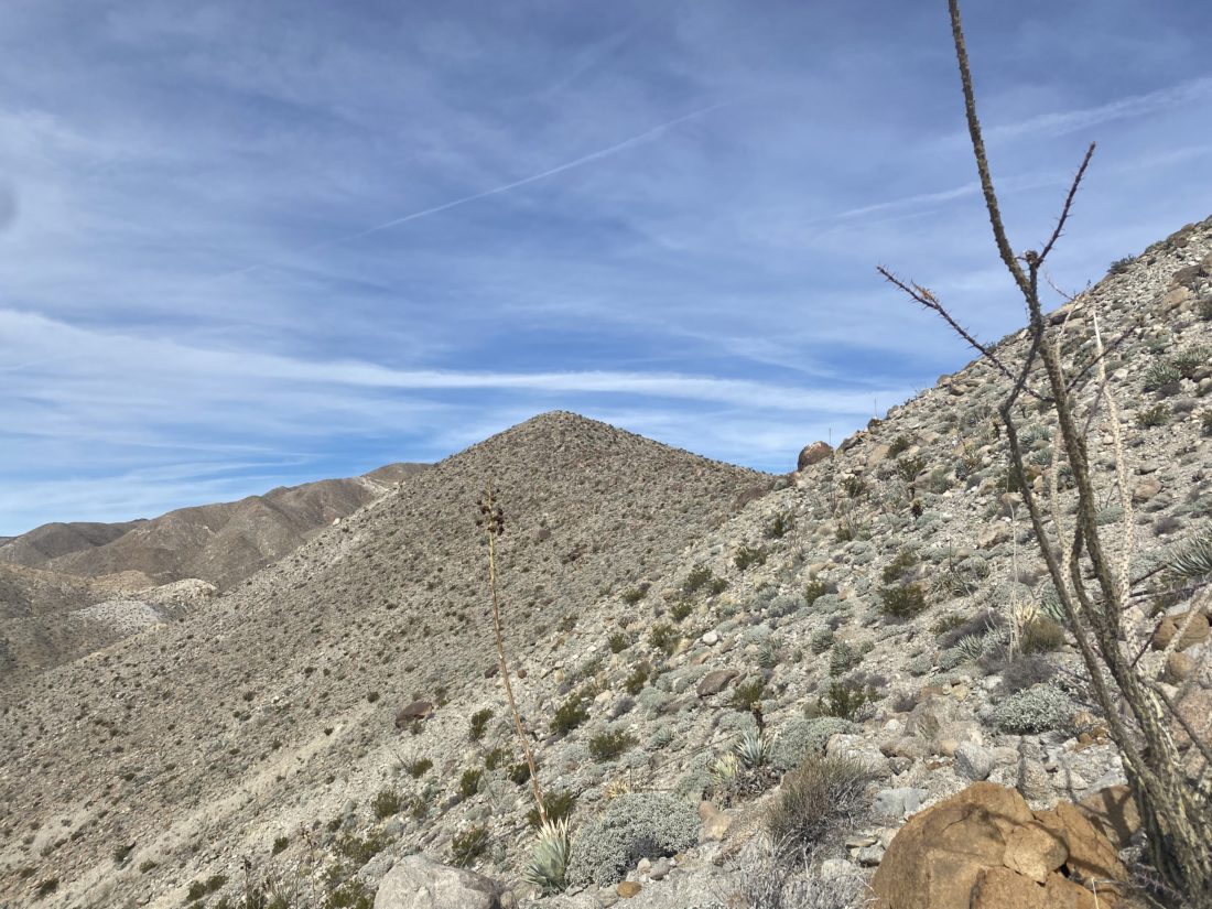
The trail would steadily climb about 650 feet over the next ½ mile. Part way up, across the canyon, we spotted the remains of an old molybdenum mine. On some maps, it is referenced as the Prospect Mine, but many just refer to it as the Moly Mine. As in Derek’s trip report, we also spotted a bone along the side of the trail. Andrea was not feeling 100% and was hiking at her pace. We would stop from time to time to regroup and verify that we were still good to continue. Once we reached the pass between the two washes, we got our first glimpses of Pyramid Peak off in the distance. After a short flat section, we dropped down into Smoke Tree Wash. This section took a bit of care, as the trail was narrow and the drop-off was pronounced. Thankfully, we were quickly across this portion and down in the wash. We again verified that we were still good to continue on up the wash for a short bit.


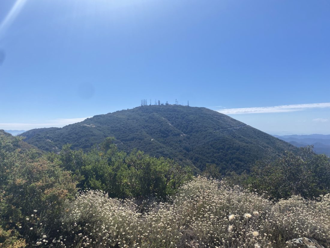
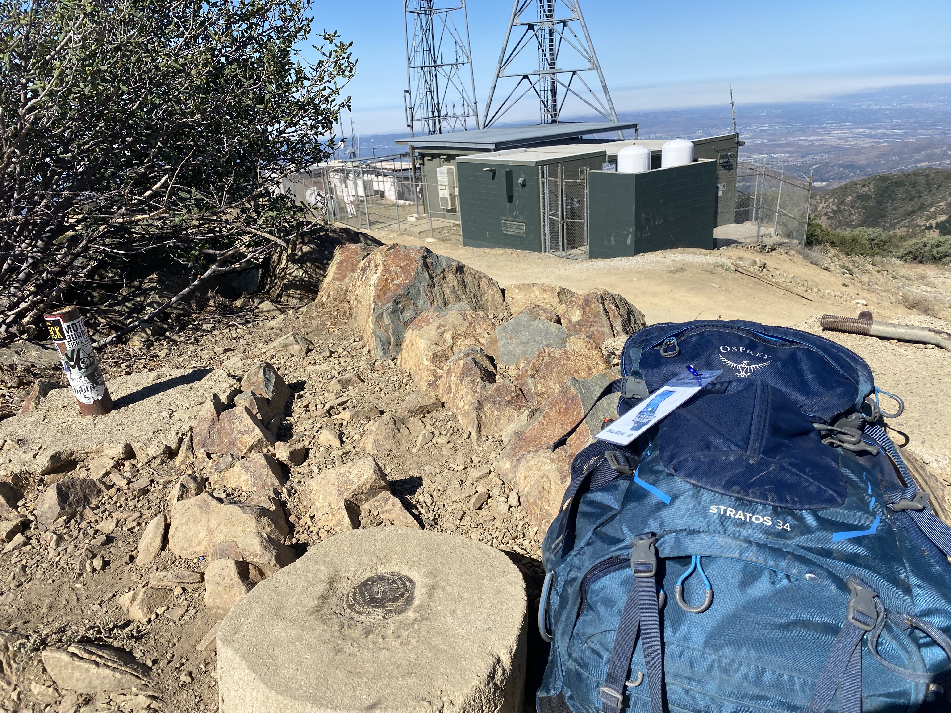
A cairn marked the exit from the wash onto the first of two ridges we would take to the summit. The trail would become steeper, with about 1,300 feet of gain over the next 1.1 miles, and the footing a bit looser. After a bit, it was clear our hiking paces were diverging, so we opted to split up. The route was fairly clear, and I did not feel that navigation was going to be an issue for anyone. I plodded along the trail, keeping my head down, in part to avoid the wind, and pushed toward the next ridge. Once on the second ridge, we looked back for Rick and Andrea and saw they remained a good ways back. After about 1⁄4 of a mile, we reached the summit. A nice-sized cairn stood there, with an ammo back holding the register. The views were sweeping, but the wind was blowing around 30 mph, so we knew we were not going to linger too long. We had our snacks and snapped some photos. In signing the register, we learned that Steve Fausset had passed. Susie had hiked with him once and I was familiar with his name from various registers scattered across a myriad of desert peaks.


As we made our descent, Rick and Andrea were still pushing toward the summit. We knew they were experienced hikers and we did not need to worry too much about them, so after chatting a bit we let them keep climbing while we made our careful descent.


The descent went fun until I slid and got a collection of chollas stuck into my left hand. That was painful to pluck out! Finally, we reached the wash and the 1.5 miles back to the car. I sent a text to Rick that we were down, and sometime later they did the same. Overall my neck and back did pretty well. I logged the hike at 8.1 miles with 2,824 feet of gain. Our total travel time was 7:13, but that included several breaks as we regrouped.


I am an avid peak bagger, sometimes backpacker, and former sea kayaker living in San Diego. In 2019, I became the third person to complete the San Diego 100 Peak Challenge. Not stopping with that accomplishment, I set my sights on the harder San Diego Sierra Club 100 Peak list, which I completed in 2021. In addition, I have conquered several Six-Pack of Peaks challenges (SoCal, San Diego, Central Coast, and Arizona-Winter). Beyond attempting the San Diego Sierra Club 100 Peak list a second time, I am looking forward to exploring new summits and new adventures across the southwest.