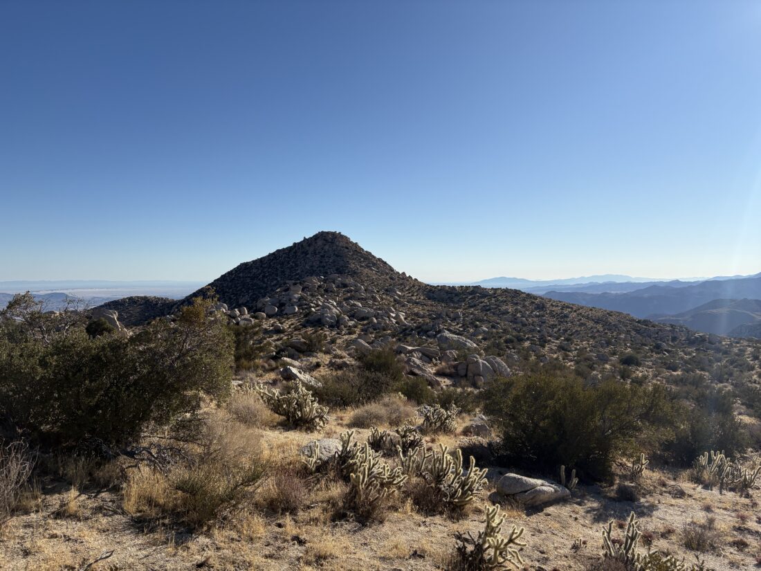
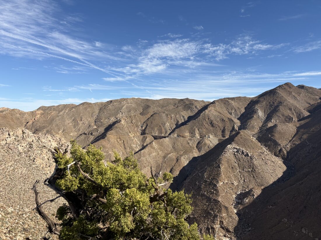
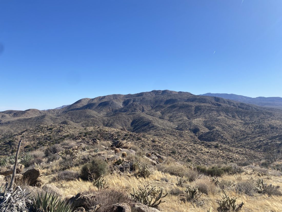
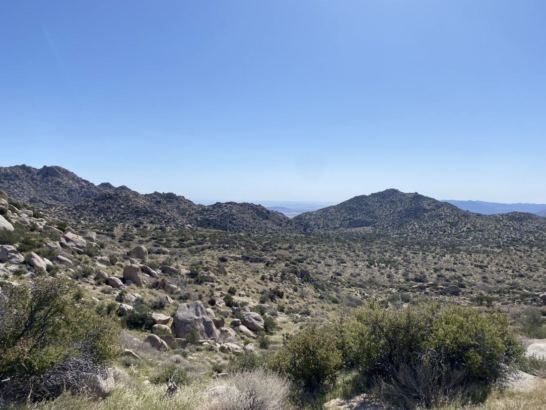
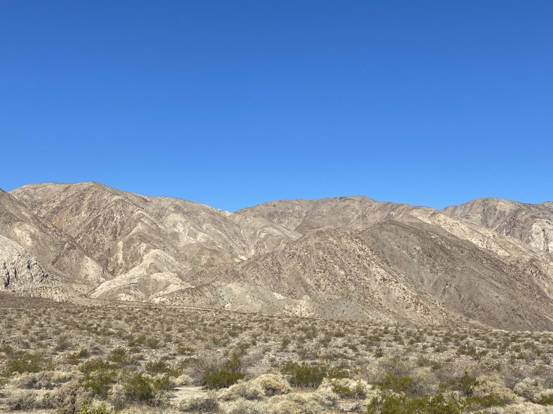
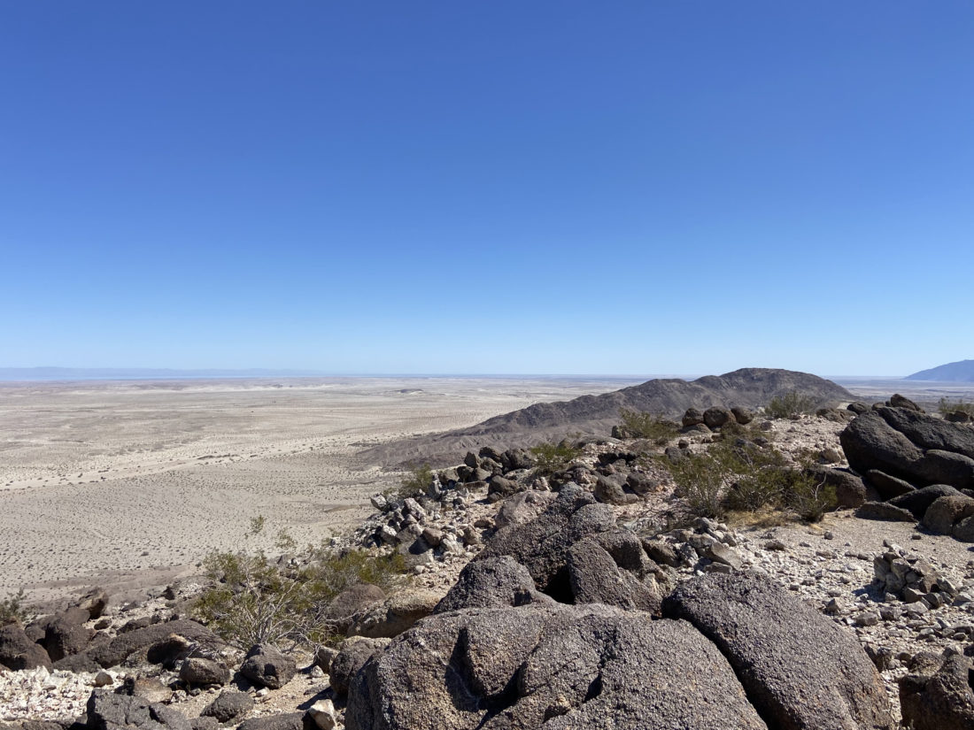
Today’s adventure was to summit Sombrero Peak. I had climbed this peak twice before—The first time I went solo and started from the Indian Canyon trailhead and went up and back. The second time, I was with a group, and while we started at the same trailhead, we descended the west face of Sombrero Peak, then went cross-country to climb False Sombrero. This time I opted to try climbing the peak from McCain Valley. Ted needed to be back in town for an early evening engagement, so that meant a very early start to the day.


Turning off the 8, we then turned onto McCain Valley Road. We passed the turn-off to Mt. Tule, and then the turn off at the trailhead to Gasp Benchmark. Finally, we reached Cottonwood Campground and turned in. There is a $6 day-use fee, which thankfully I knew about and had cash to slip into the envelope. After making use of some extremely clean pit toilets, we gathered our gear and set off down the Pepperwood Trail. Our route would zig-zag north and east toward the peak. We had caught a glimpse of its unique shape on the drive to the trailhead.


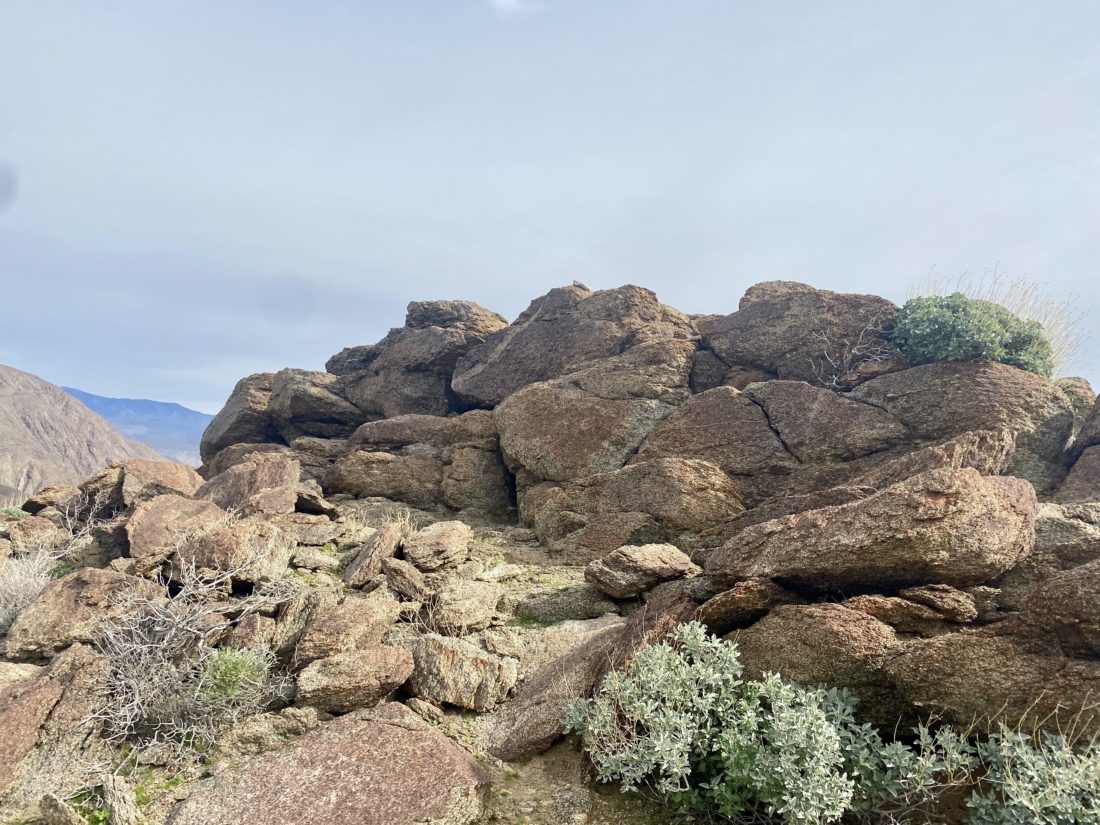
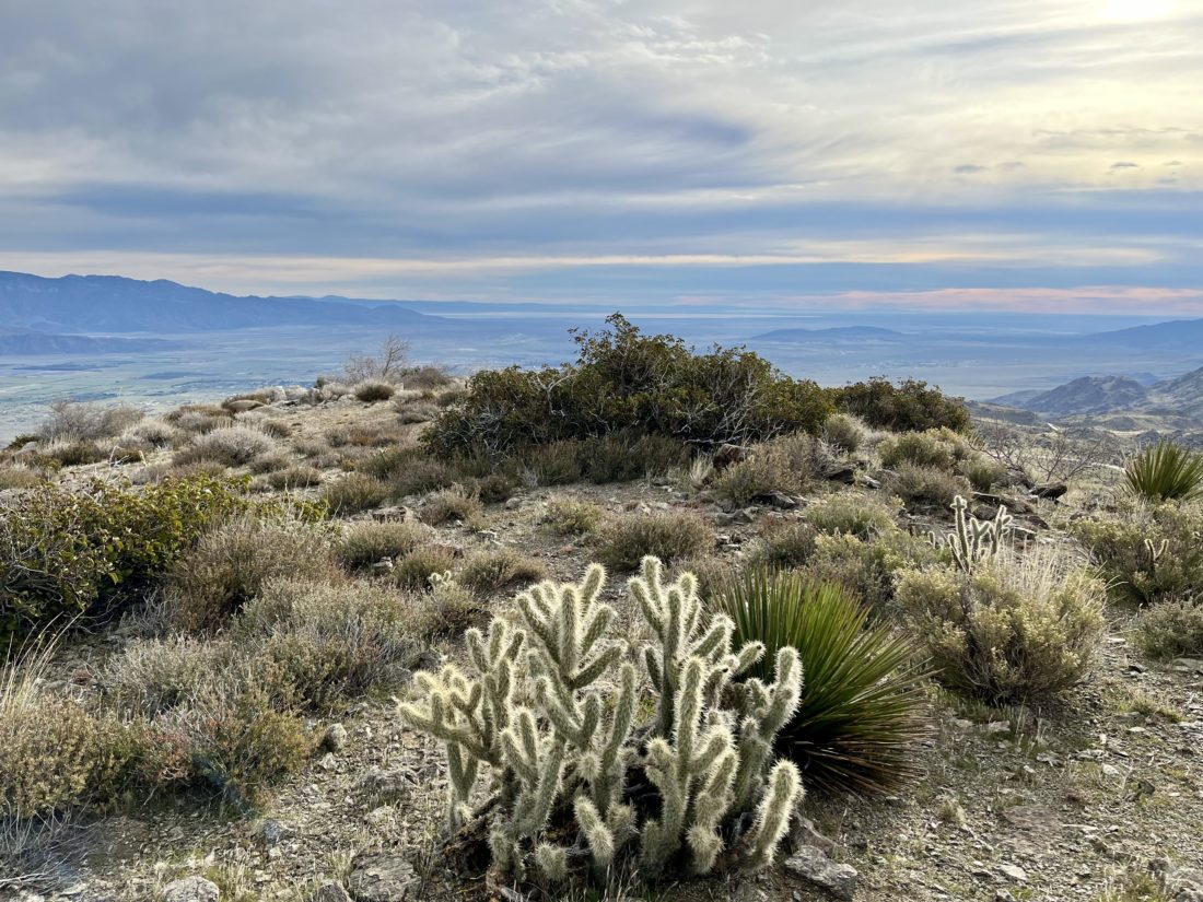
We cruised along, with the trail being a mix of motorcycle tracks and roads, allowing us to make good time. Along the way, we passed an old barn and corral. The trail would rise and fall as we drew nearer to the peak. Finally, we reached the point where we would begin the cross-country portion of the hike. Weaving past the cat-claw bushes and the cacti, we reached the base of the peak, near a very faded sign indicating it was Sombrero Peak. We took a break before beginning our ascent. I reviewed Greg Gerlach’s track that I had loaded into OnX and tried to plot our way up the boulders. We followed a faint use-trail for a bit until it faded away. I remembered following cairns before, so I began scanning the boulders for tell-tale signs of the route. I spotted some and we continued upward. As we drew closer, our route drifted from Greg’s, so we worked our way back toward the southern side of the peak. I made one slightly exposed move to get us back on track, while Ted was able to scramble around it, as that is not his thing. The route now seemed a tad more familiar, and a string of cairns quickly led us to the summit.


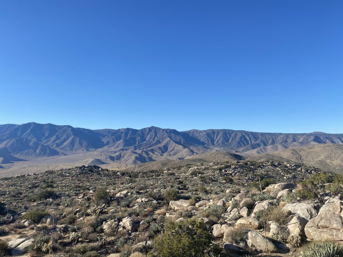
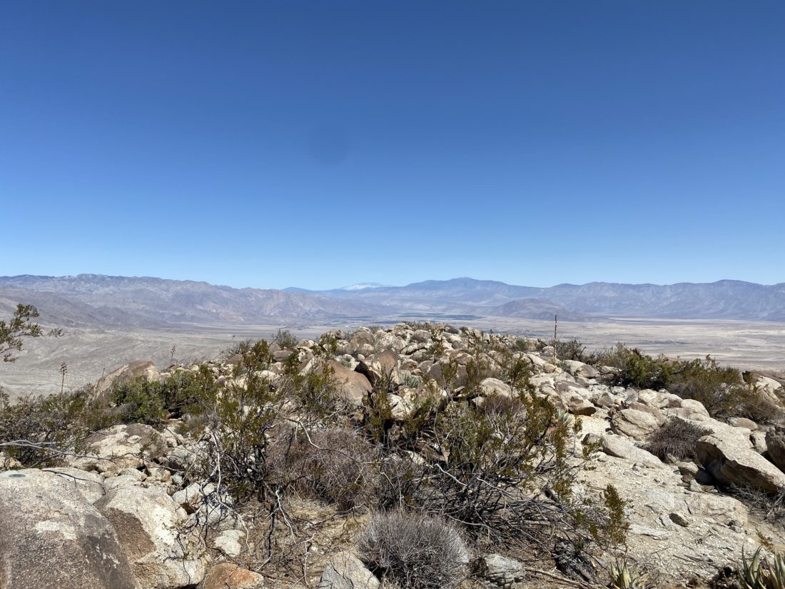
A register can and summit sign were tucked in the rocks, and I signed us in and snapped a photo with the sign. I showed Ted the east face of the peak and what the route from that side looked like. He thought this was a better choice, even with the 4.75 miles to the base of the peak. I mixed up some electrolytes and enjoyed a Kind bar and oranges before beginning our descent.


Our route down was much easier, but that typically seems to be the case. Back on the trail/road, we cruised toward the car. The day had warmed slightly, and I started to feel the effort a bit. With about a mile to go, I realized I missed a turn, but with the myriad of motorcycle trails and having downloaded the satellite imagery, I spotted another connecting trail that would lead us to the campground. As we approached the campground, four motorcycles rode past us. These were the first ones we had seen all day and I had honestly expected to see more. Back at the car, we tossed in our gear, changed, and then headed toward Mike Hess Brewery in Alpine for some well-earned pizza and beverages. My tracker clocked us at 10.0 miles (Ted had 10.25 on his Garmin) in 5:15 (including time on the summit). All in all, a great day out peakbagging. Plus, Ted is one peak closer to finishing the San Diego Sierra Club 100 Peak list…
I am an avid peak bagger, sometimes backpacker, and former sea kayaker living in San Diego. In 2019, I became the third person to complete the San Diego 100 Peak Challenge. Not stopping with that accomplishment, I set my sights on the harder San Diego Sierra Club 100 Peak list, which I completed in 2021. In addition, I have conquered several Six-Pack of Peaks challenges (SoCal, San Diego, Central Coast, and Arizona-Winter). Beyond attempting the San Diego Sierra Club 100 Peak list a second time, I am looking forward to exploring new summits and new adventures across the southwest.
