The late-season heatwave certainly altered my planned hike for this Saturday. I had hoped to take a friend out and summit Lawson and Gaskill. But with the forecast in the low 90s, almost no shade on the trail, and rocks that will get quite toasty, this hike was not in the cards. Looking over my remaining peaks and Oakzantia seemed to be a safe replacement.
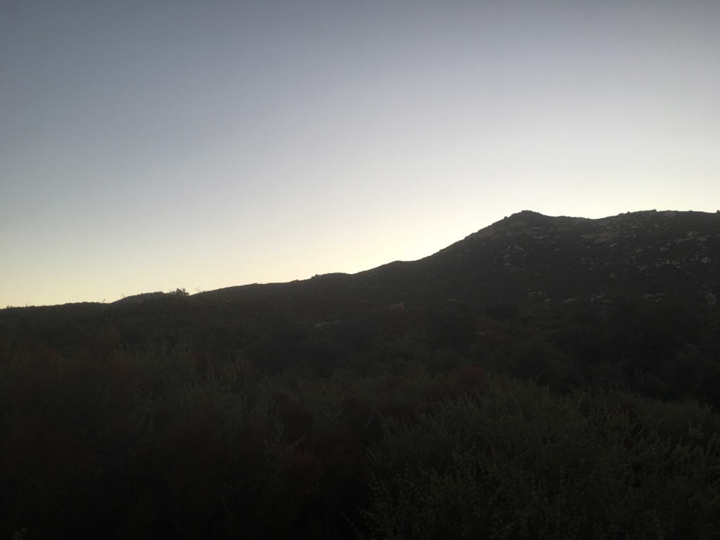
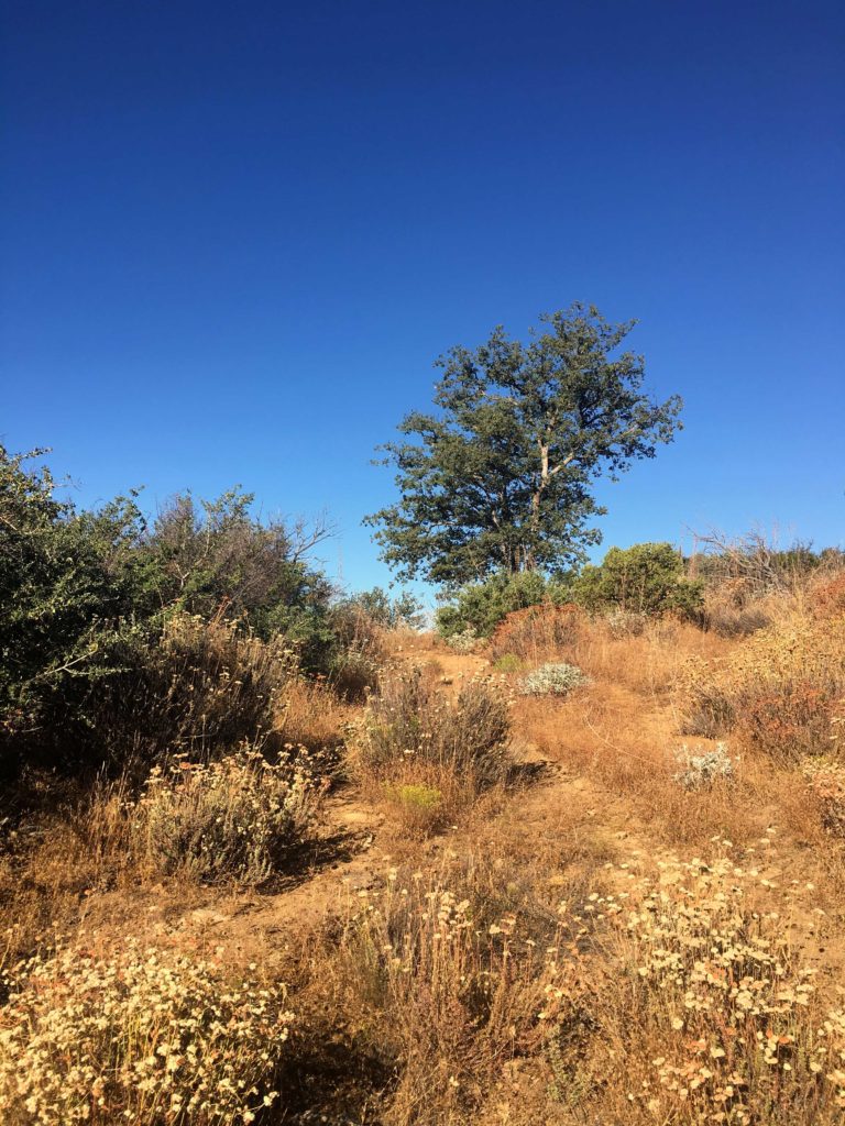
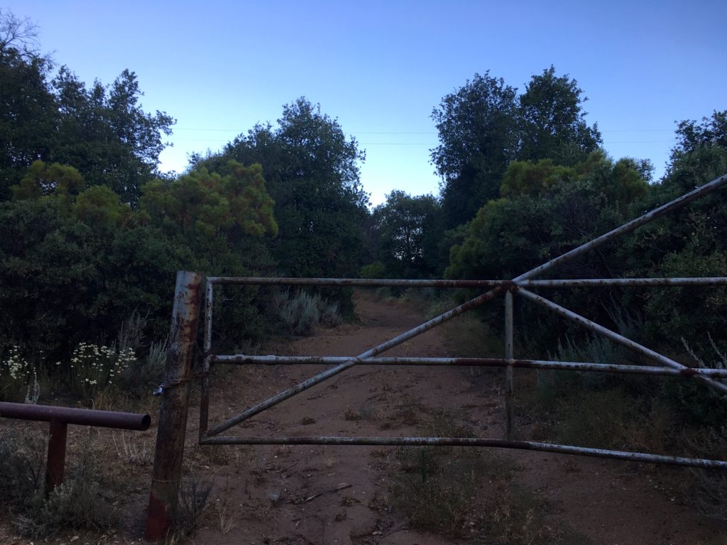
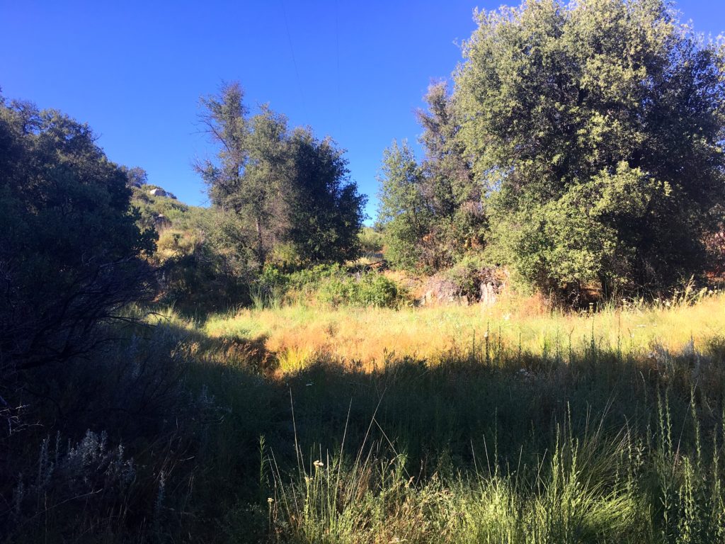
I got to the trailhead at sunrise. I debated if I should use the East Mesa Fire Road or the Oakzantia trailhead. Since I did the Oakzantia trailhead last time, I opted for it so I could compare my pace. The air was still cool as I followed the Lower Descanso Creek trail. A little water still flowed in a few spots along the trail.
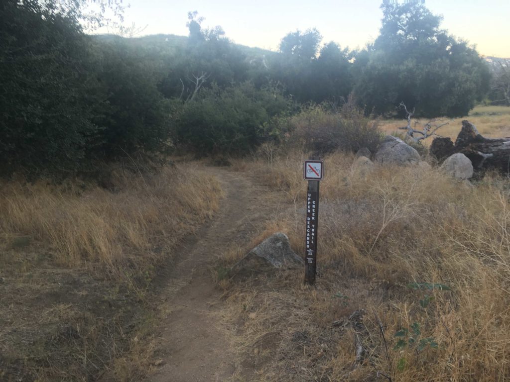
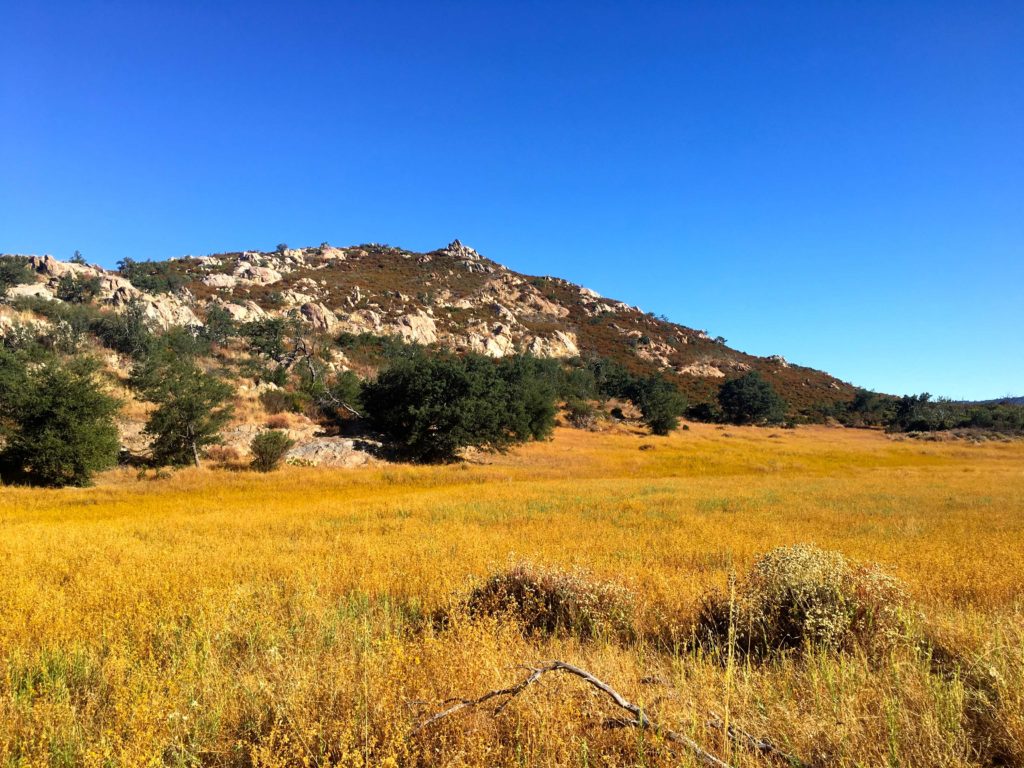
This trail rejoins the East Mesa Fire Road for a short time, hence why I considered the other route. Once you have rounded the meadow, I headed on the Upper Descanso Creek Trail. Crossing back to the south side of the creek, it was now time to begin working my way to the summit. I still enjoyed the shade, but the sun was starting to illuminate Cuyamaca’s peak to the north.
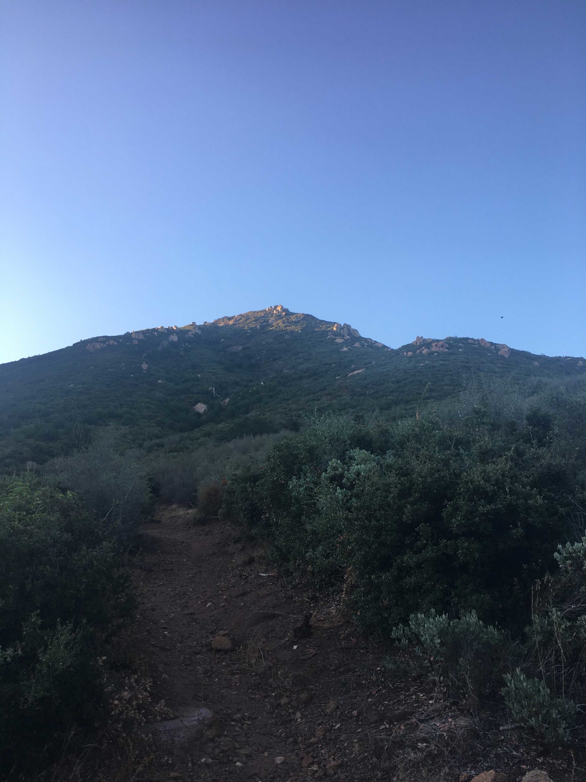

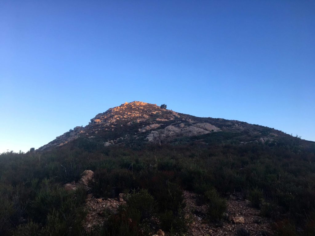
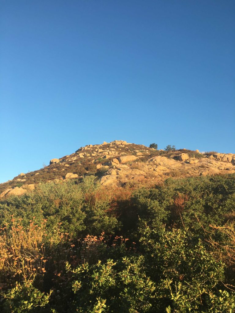
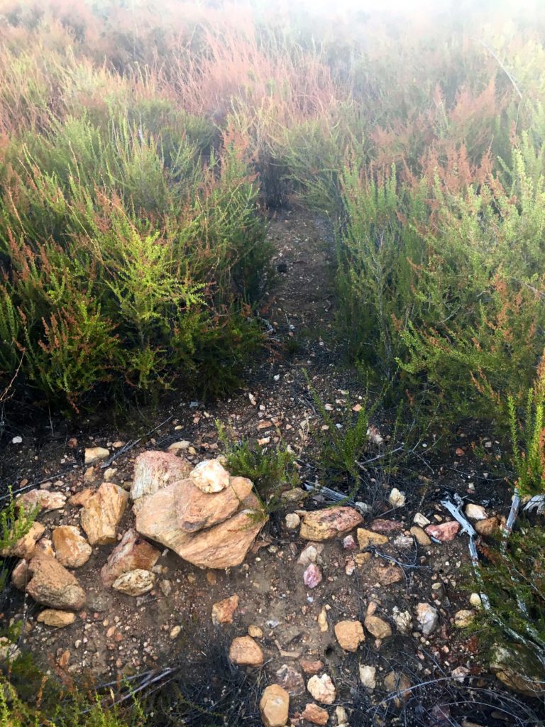
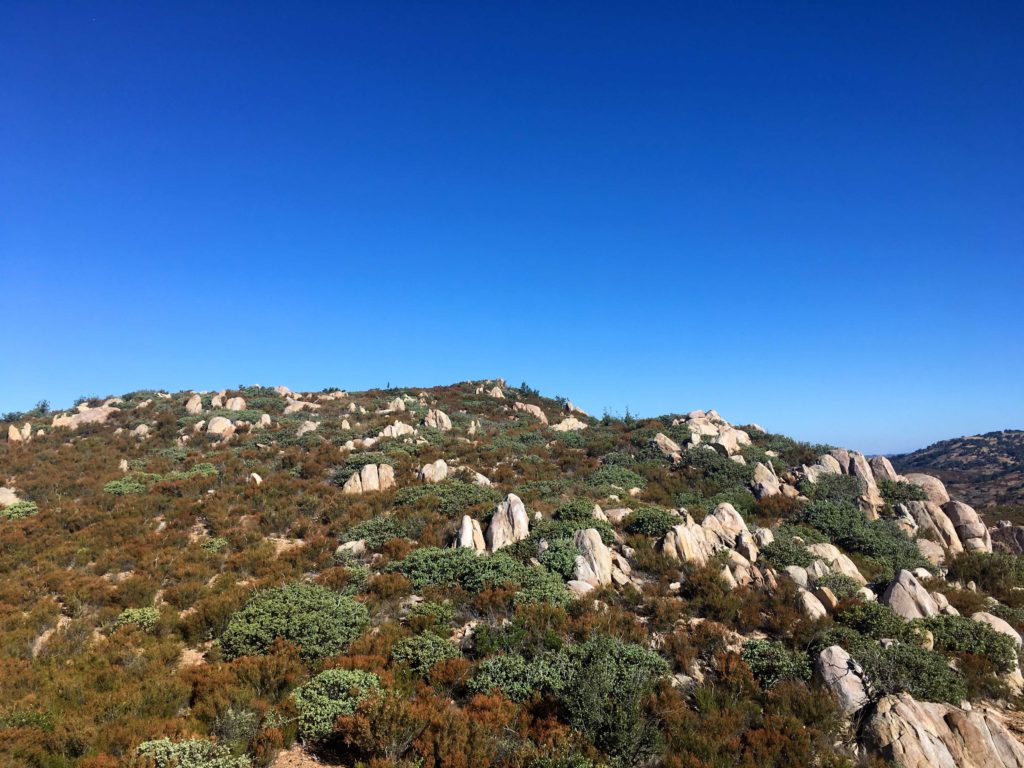
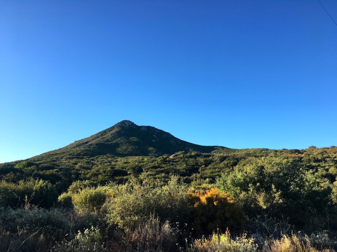
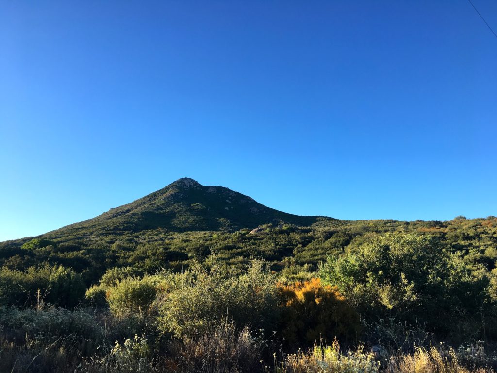
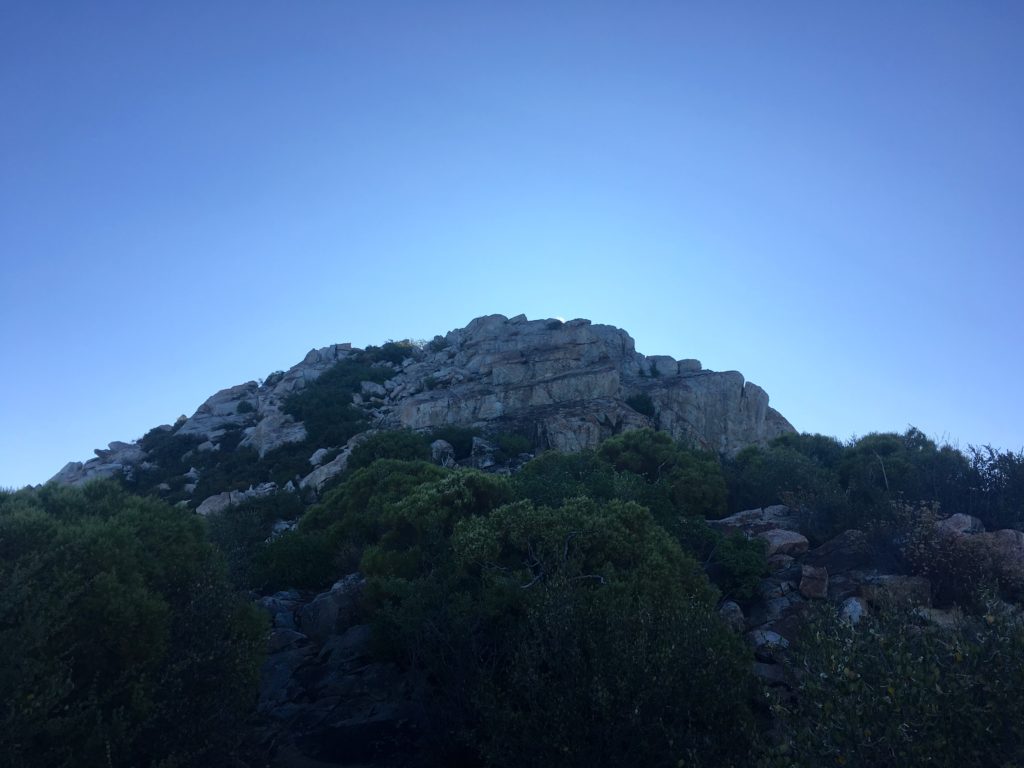
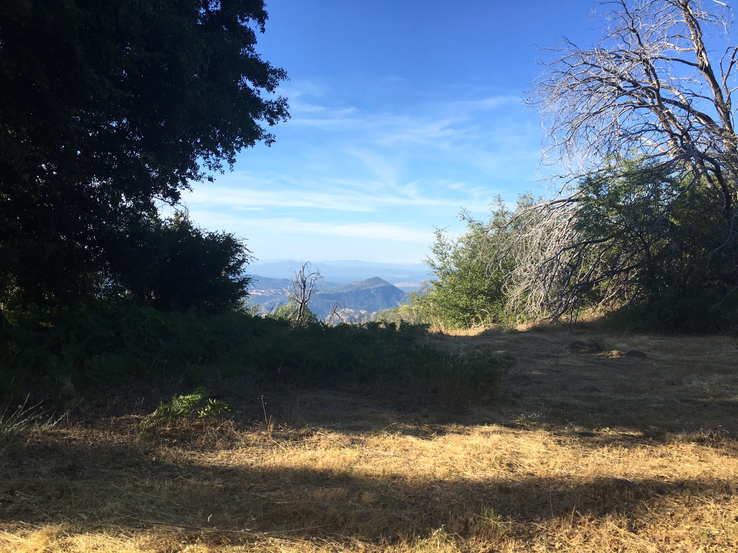
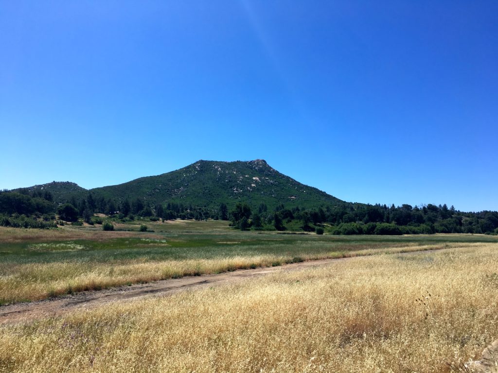
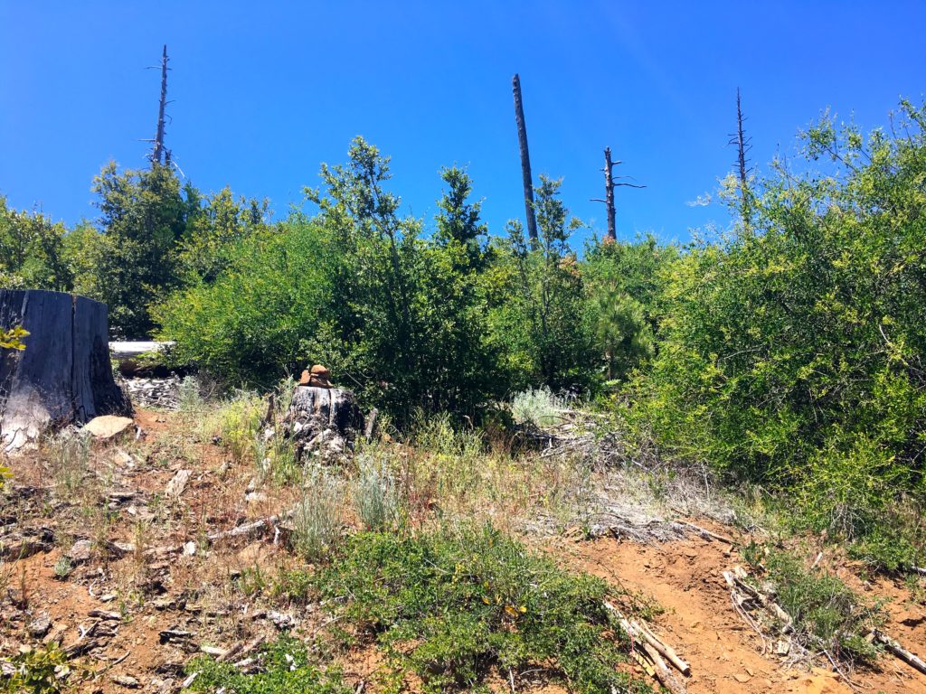
I was making great time along the trail and soon I came to the junction with the spur trail to the actual summit. The trail did become slightly more overgrown in sections. The summit loomed over me, now bathed in the morning light.


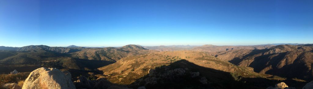
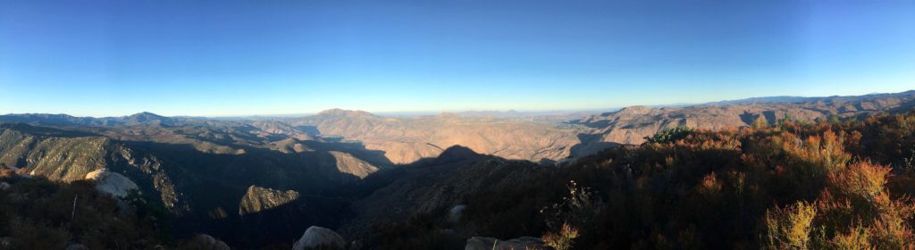
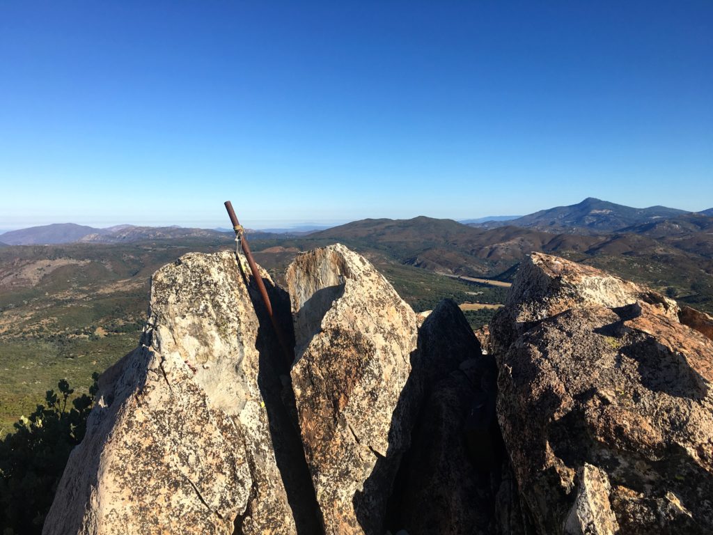
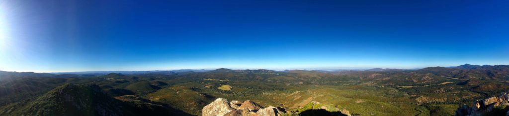
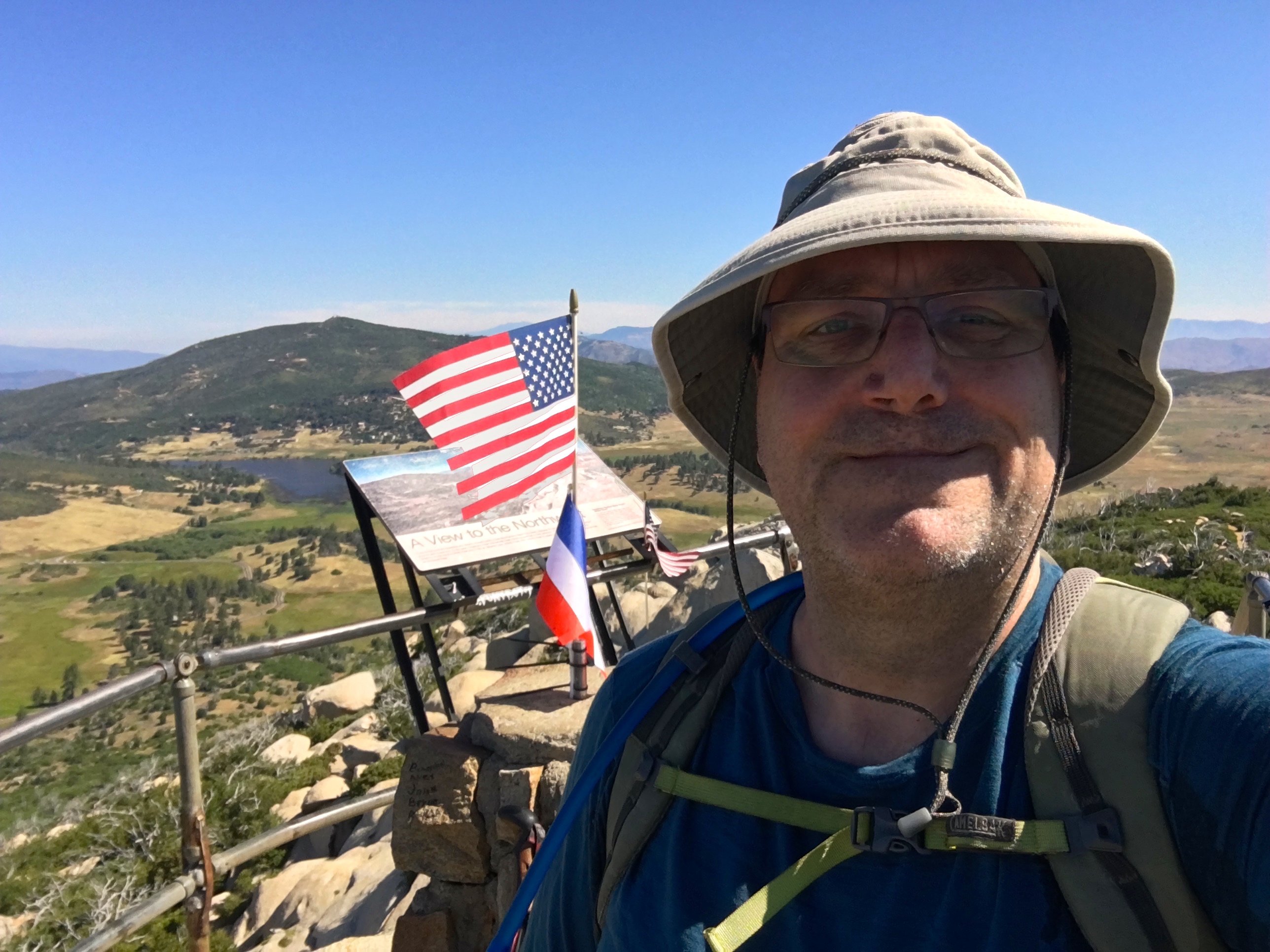
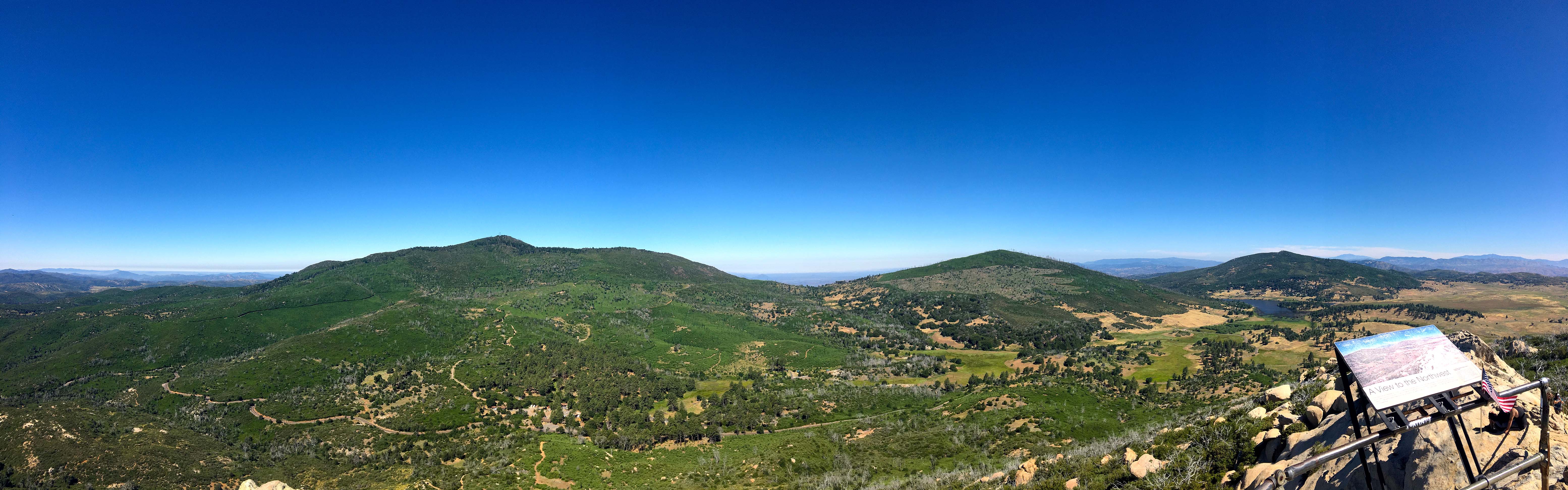
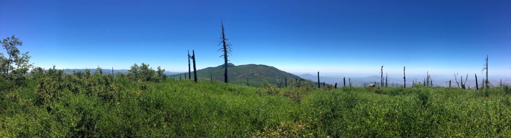
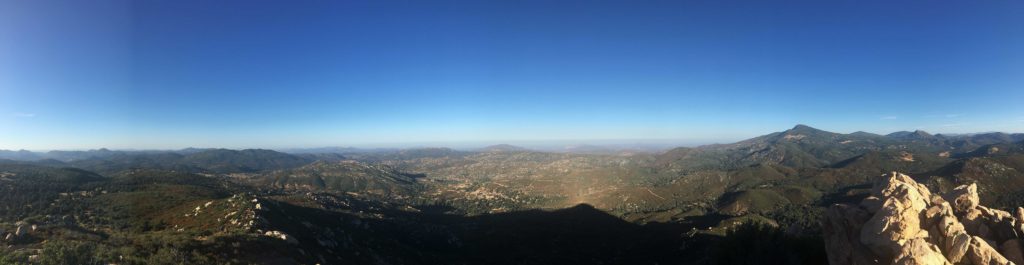
The summit offered some great vistas. Thankfully the bugs were not too bad. This peak does not have a register and a non-standard Benchmark. It also has a rail to tie up your horse.


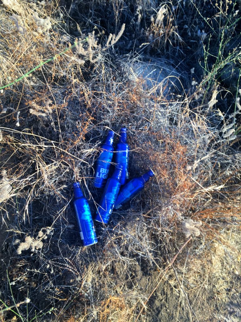
Coming back down I was passed by a gaggle of trail runners. Three hikers passed me making their ascent. Back at the car, the thermometer read 80 degrees at just after 9 am. This was my 61st peak of my 100 Peak Challenge!


I am an avid peak bagger, sometimes backpacker, and former sea kayaker living in San Diego. In 2019, I became the third person to complete the San Diego 100 Peak Challenge. Not stopping with that accomplishment, I set my sights on the harder San Diego Sierra Club 100 Peak list, which I completed in 2021. In addition, I have conquered several Six-Pack of Peaks challenges (SoCal, San Diego, Central Coast, and Arizona-Winter). Beyond attempting the San Diego Sierra Club 100 Peak list a second time, I am looking forward to exploring new summits and new adventures across the southwest.