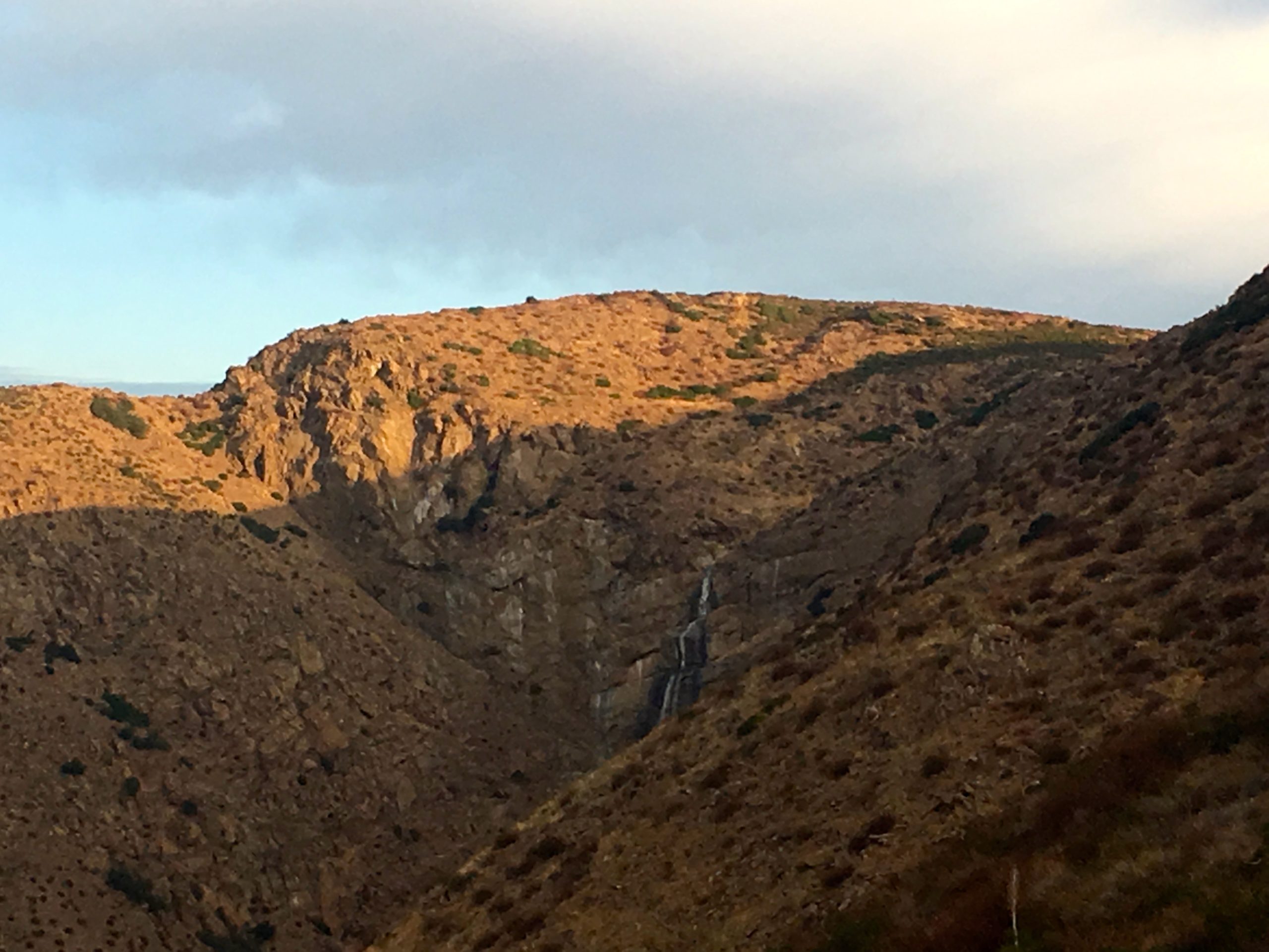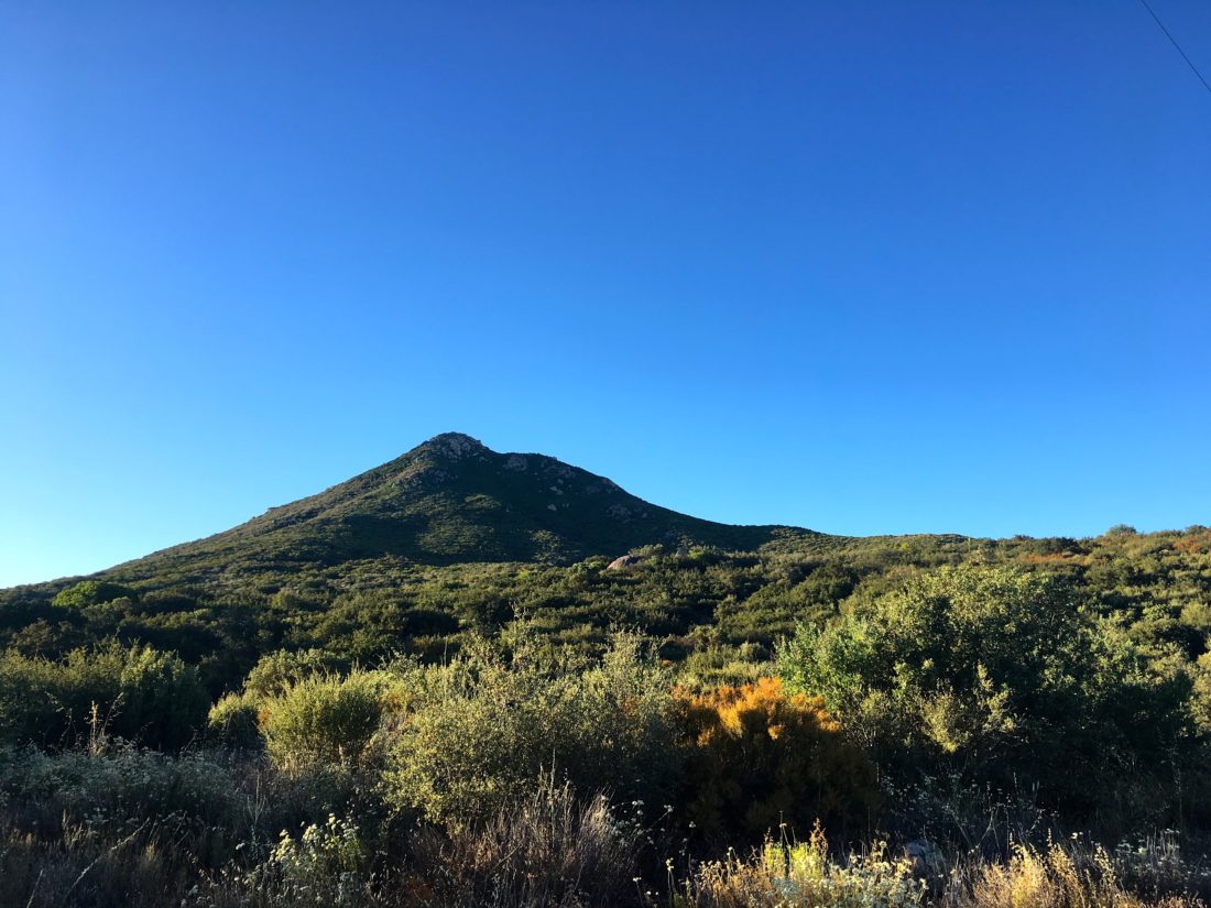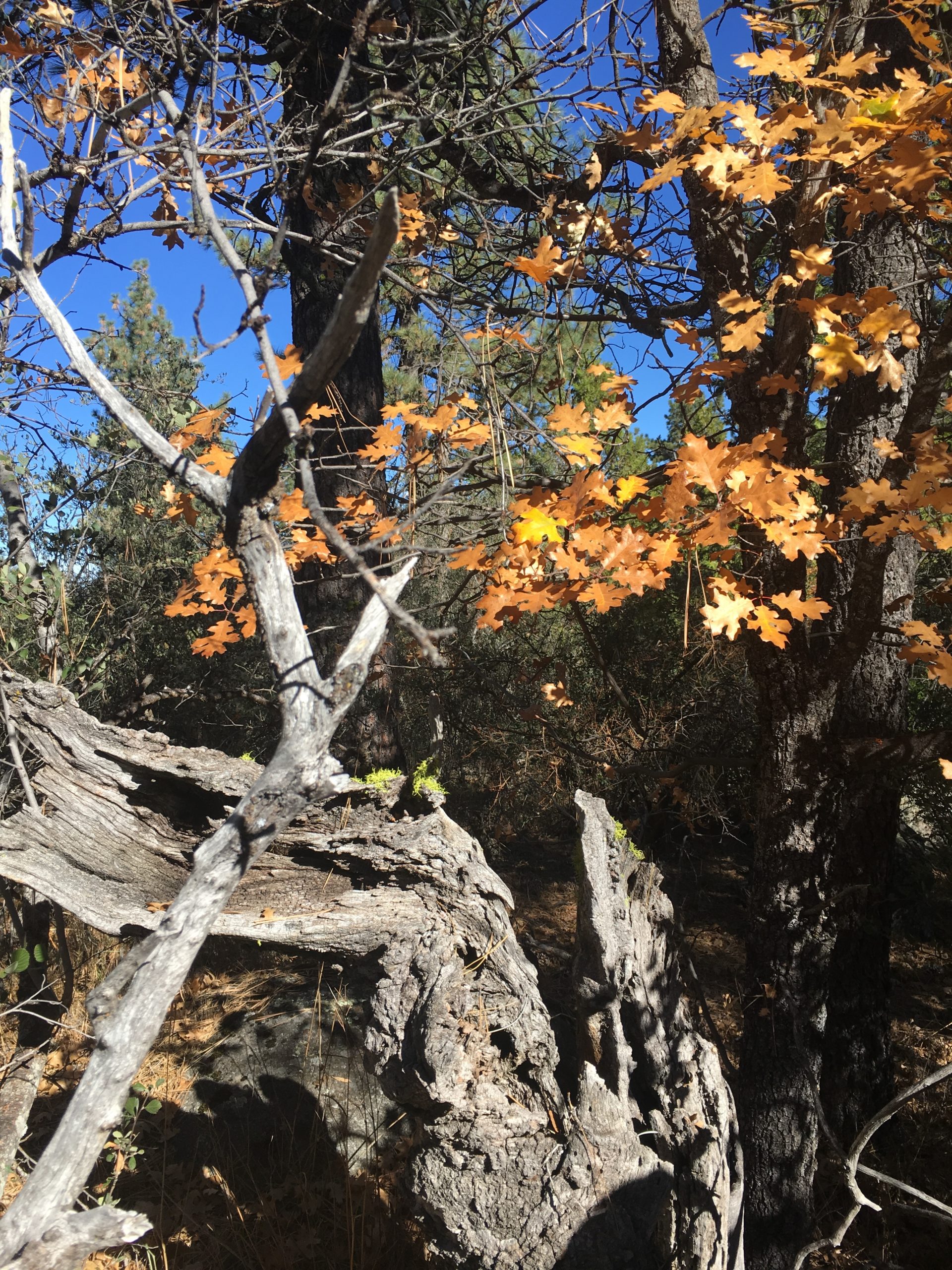
The second summit of the day was Oak Benchmark. The light rain that started at the end of my hike to Peak 1549, had ended. I had originally planned to summit this peak back when I did Cemetery Hill but thought better since it was hunting season.
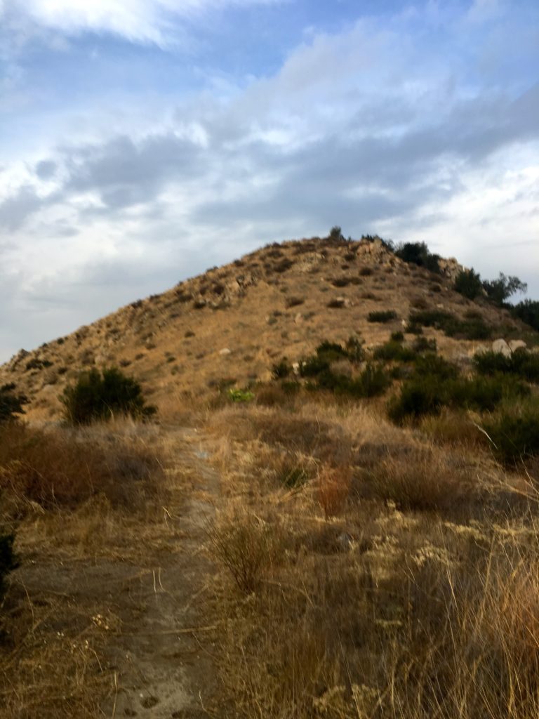
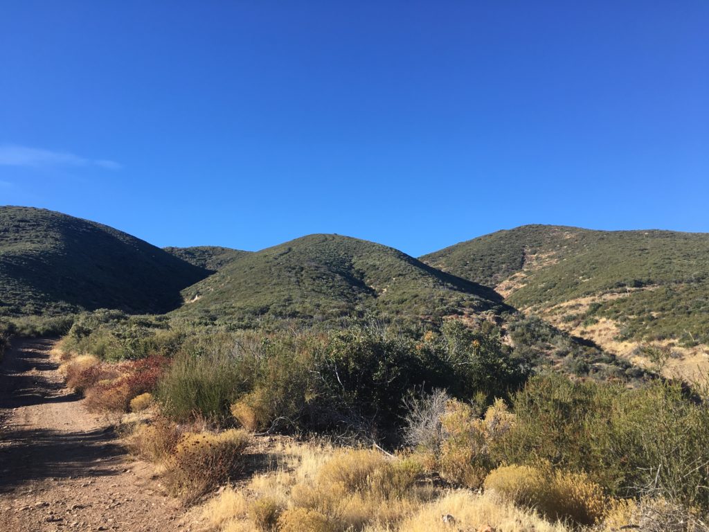
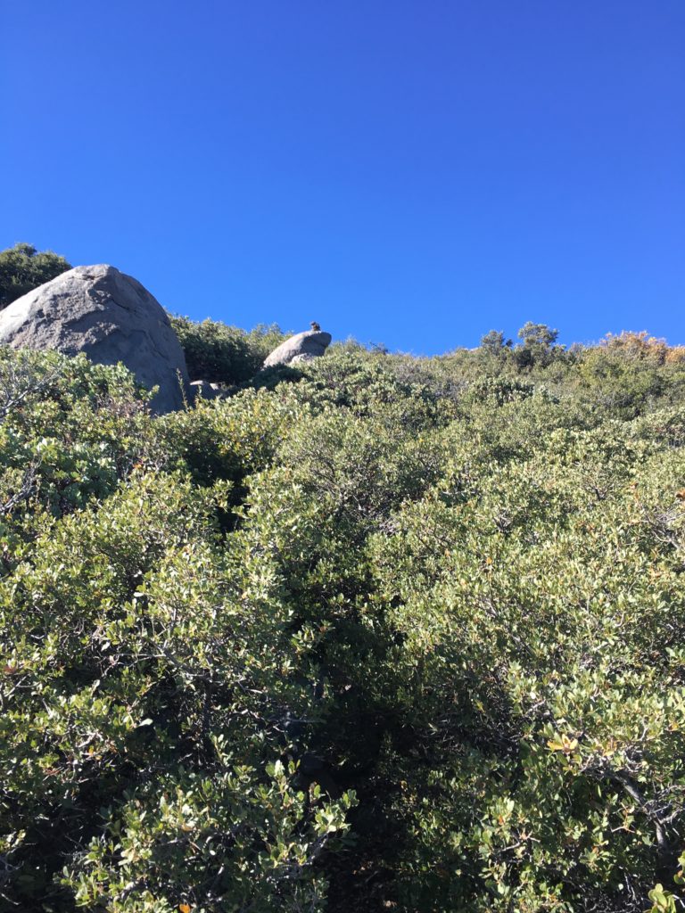
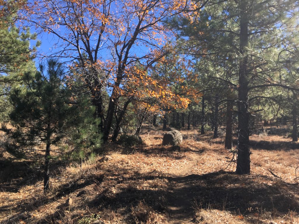
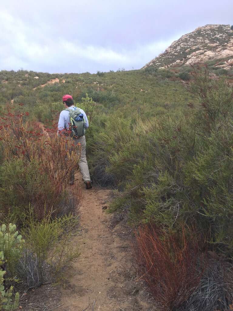
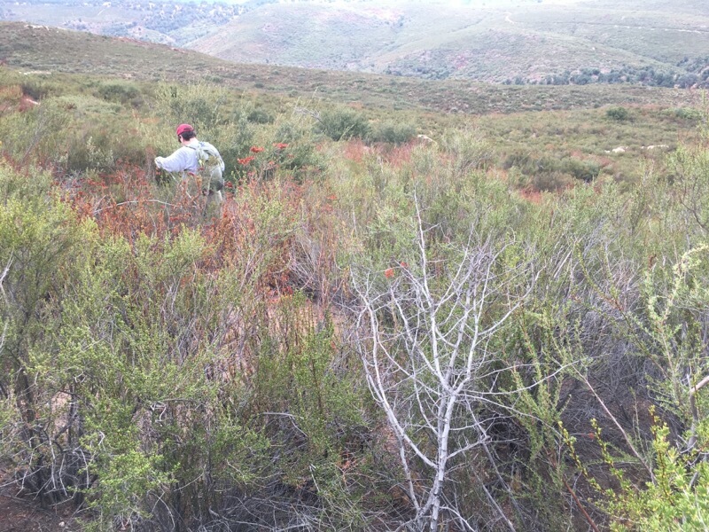
Parking in the same trailhead, I headed south along the road to a nice clearing. From my research with Google Earth, I knew that this should provide an easier route to the summit, as there is no formal trail to the top. The main warning I had read about was the amount of poison oak that exists. I was hoping attempting this in the winter would reduce my chances of encountering it.
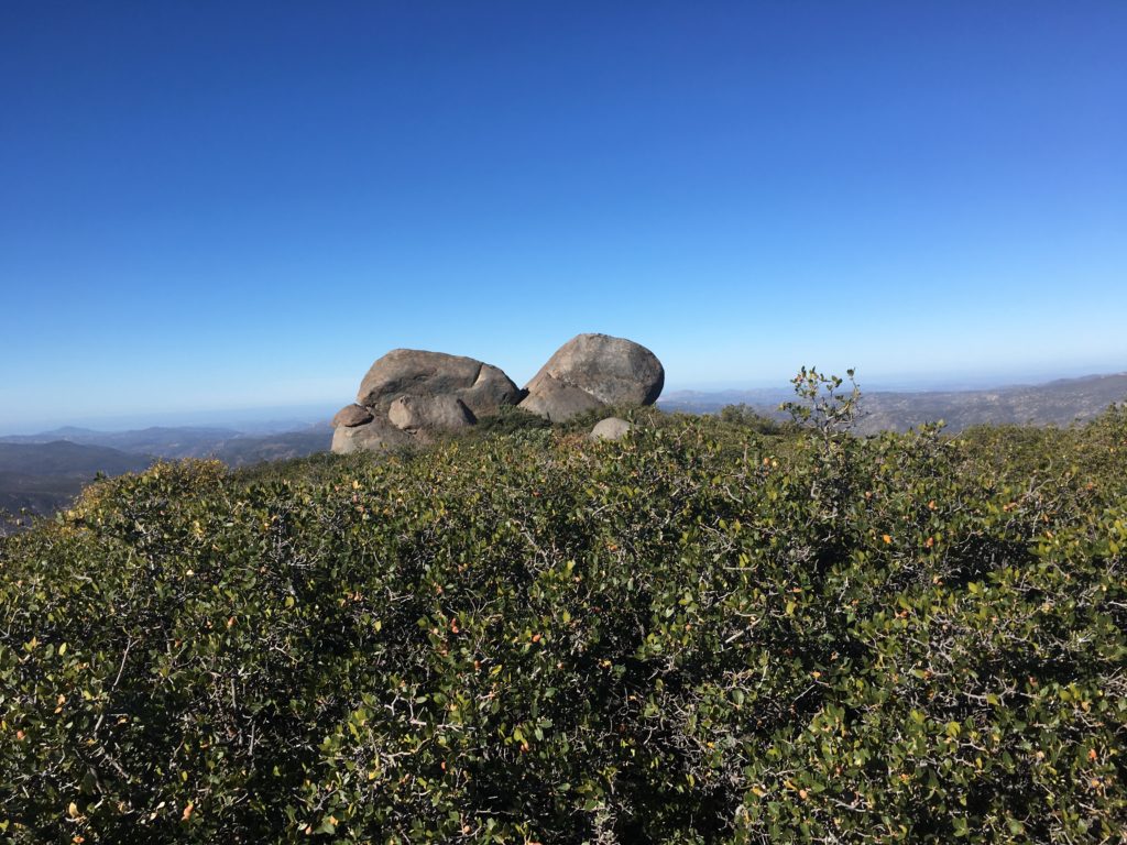
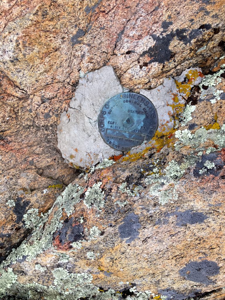
I picked my way up toward the peak, I meandered through the brush until I reached the summit. I found the benchmark and register with no problem.
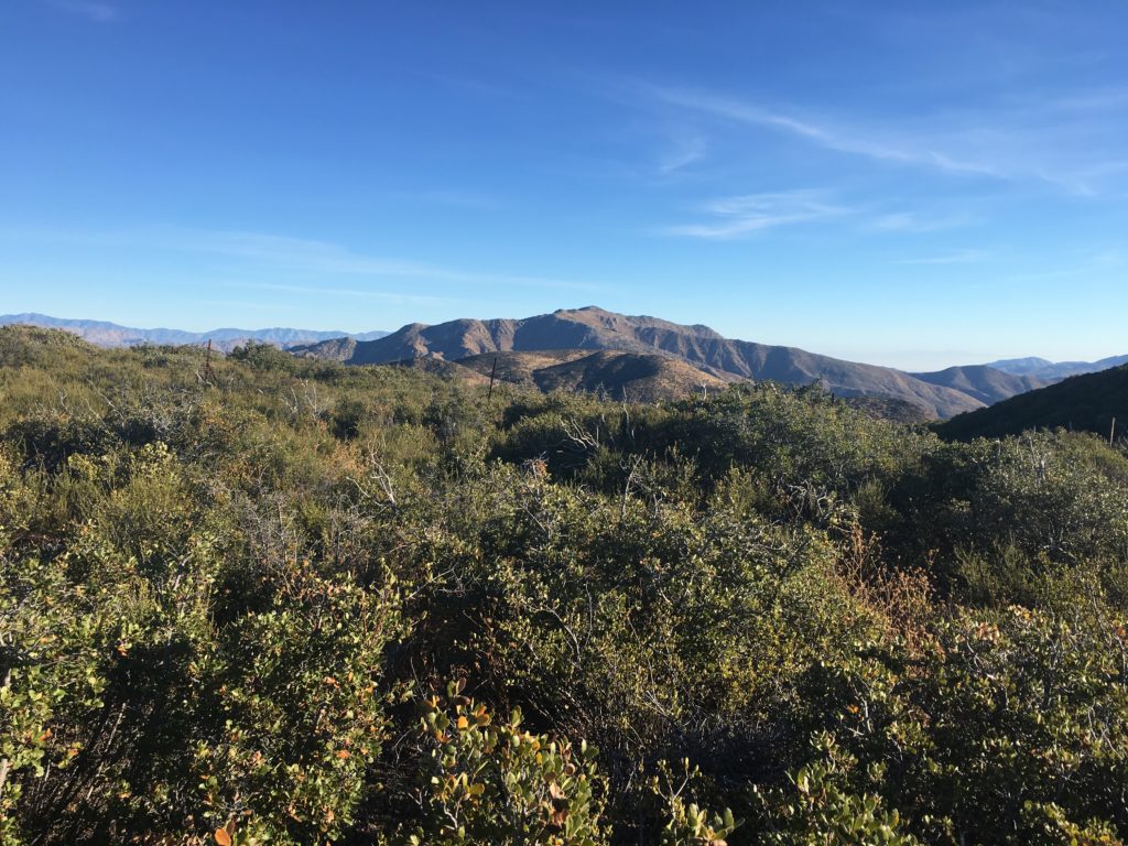
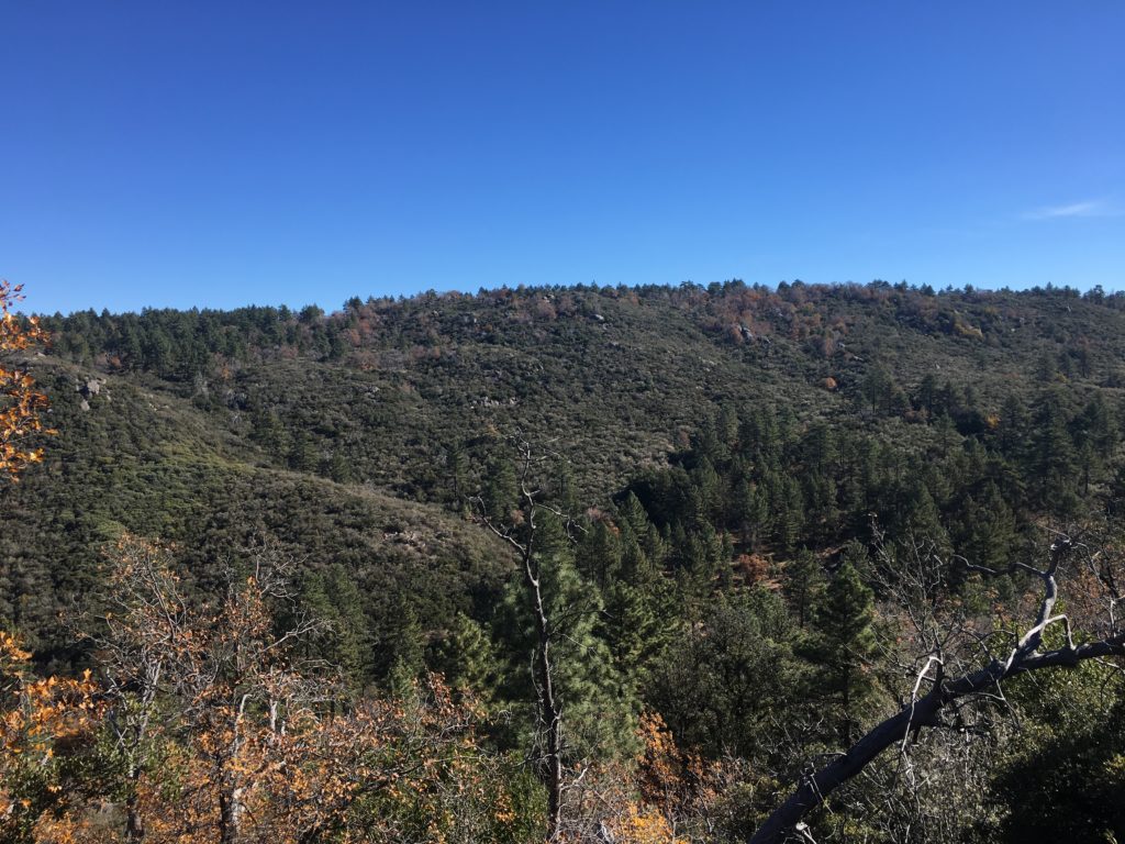
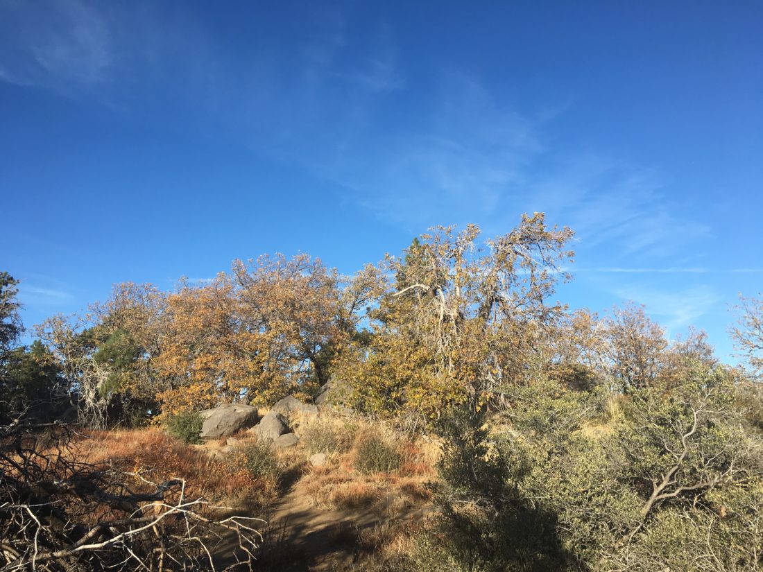
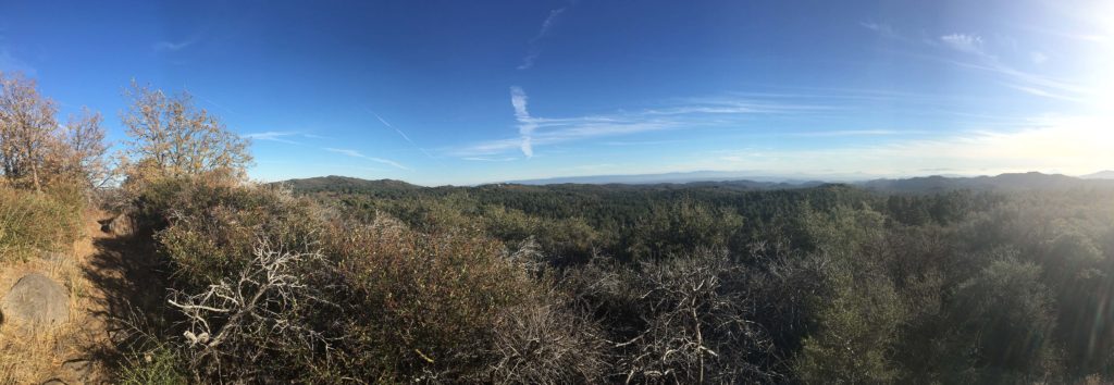
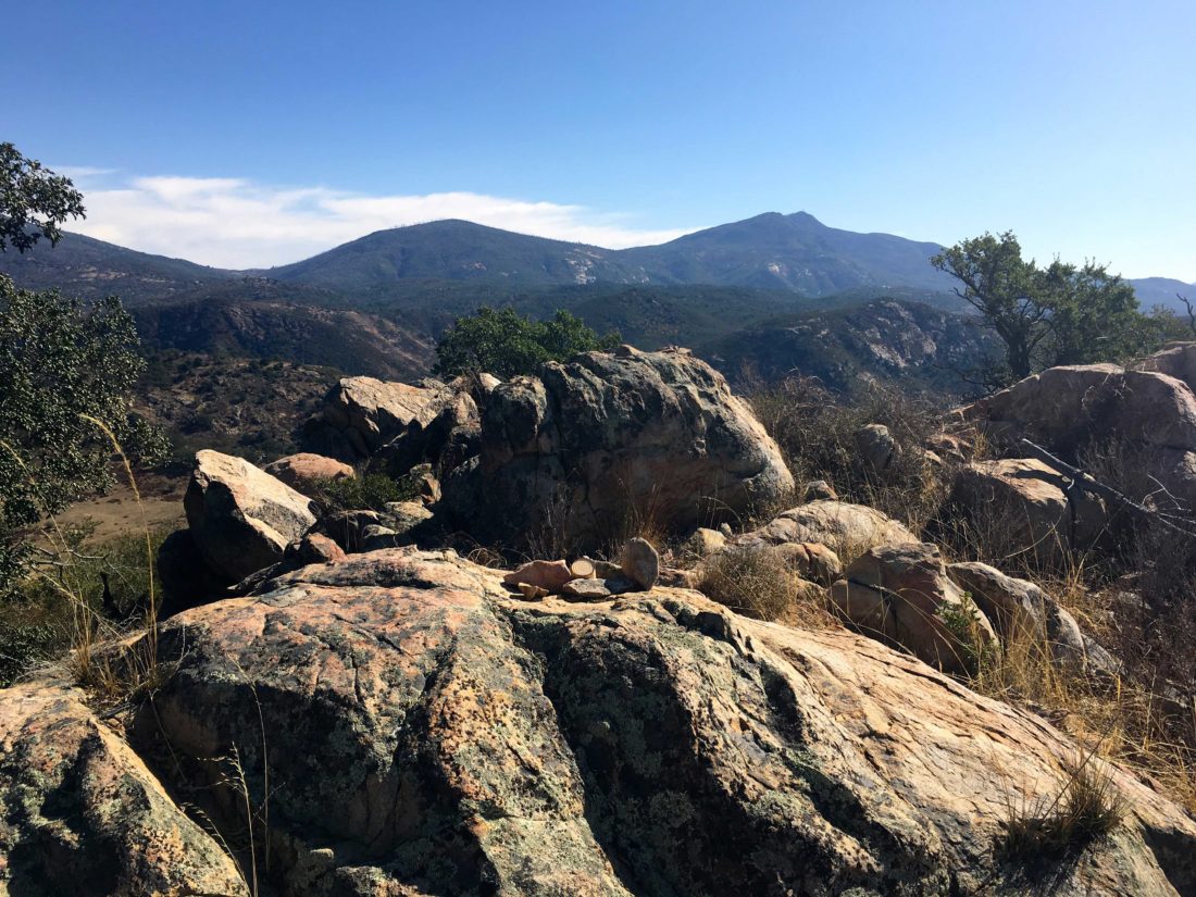
The skies continued to look threatening, but the views gave me a nice look back toward Julian.


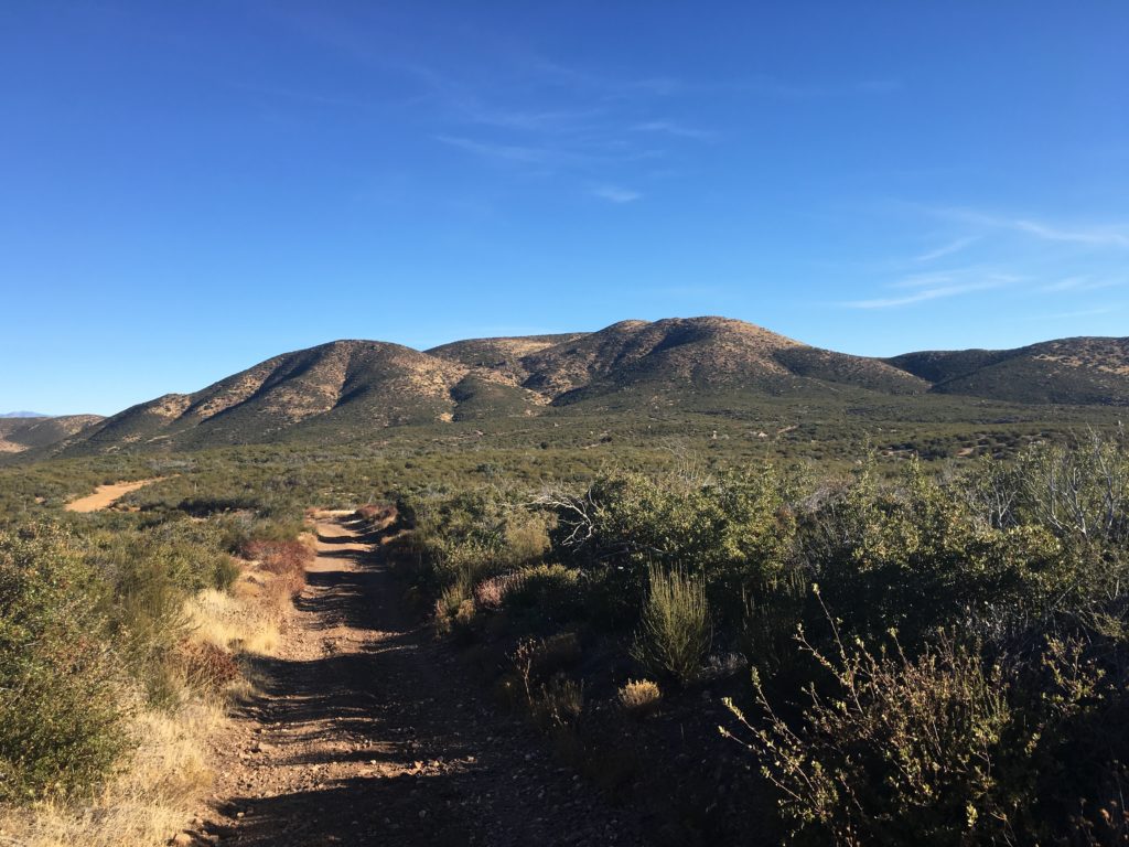
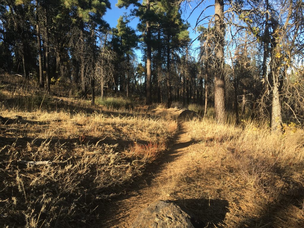
I headed back down toward the car with no real issues. Just the crush of fallen oak leaves under my boots. With that, it was off the third peak of the day, Peak 4159.


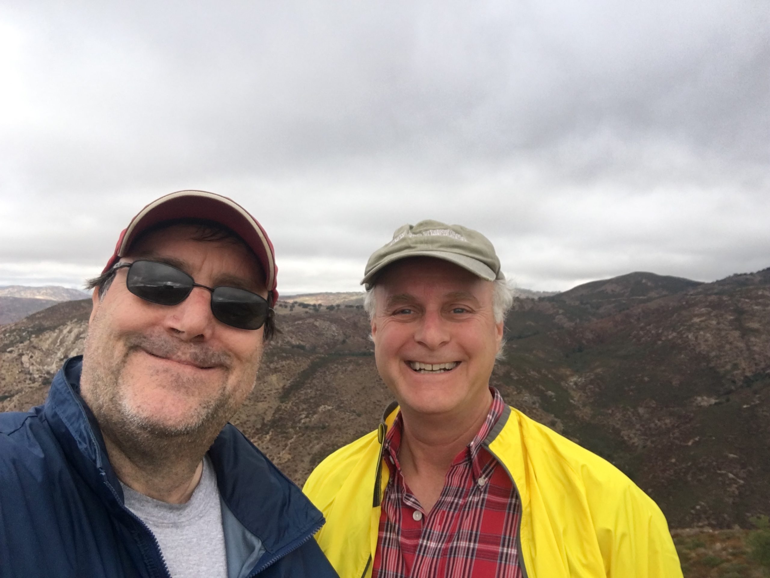
I am an avid peak bagger, sometimes backpacker, and former sea kayaker living in San Diego. In 2019, I became the third person to complete the San Diego 100 Peak Challenge. Not stopping with that accomplishment, I set my sights on the harder San Diego Sierra Club 100 Peak list, which I completed in 2021. In addition, I have conquered several Six-Pack of Peaks challenges (SoCal, San Diego, Central Coast, and Arizona-Winter). Beyond attempting the San Diego Sierra Club 100 Peak list a second time, I am looking forward to exploring new summits and new adventures across the southwest.