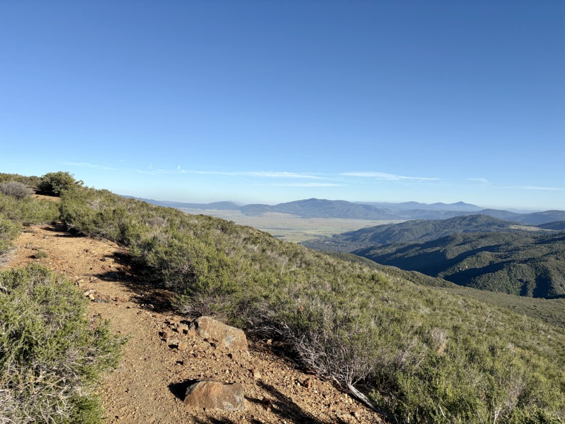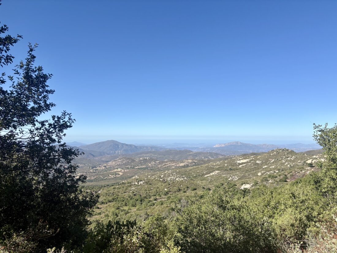
My friend Becca was supposed to be heading out on a two-day, one-night backpacking trip. Unfortunately, that adventure was canceled, but since her pack was mostly ready to go, she asked if I might take her on a training hike. I thought, why not do a loop around and up Cush-Pii (aka Stonewall Peak)? It is a nice mix of some flatter sections and a bit of gain to test out the legs and the lungs. We drove out to the Paso Picacho campground and parked in the day-use area. After paying the $10 day-use fee and using the facilities, we crossed the highway to the trailhead. Becca also wanted to practice her navigation skills. I recommended that we do the loop clockwise and had her point us in the right direction. We hiked along, chatting about various things from family to hiking. At the next junction, I had her figure out once again where we were and where we needed to go. Since we were now on the California Riding and Hiking Trail, I gave her a brief history of it. That in turn led to talking about backpacking it through Joshua Tree.


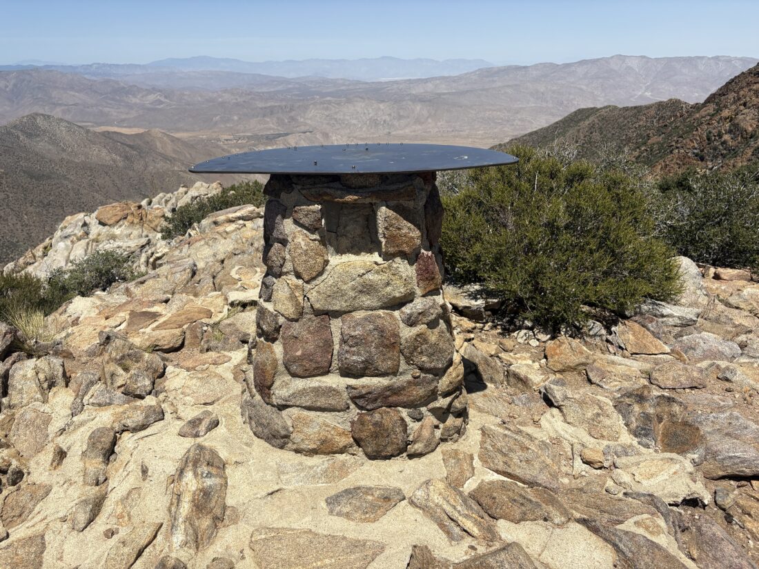
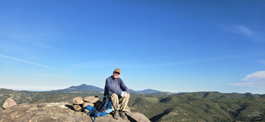
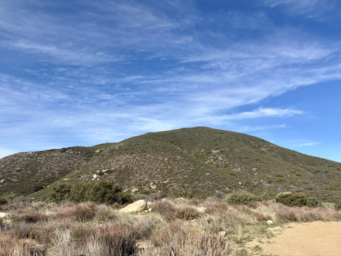
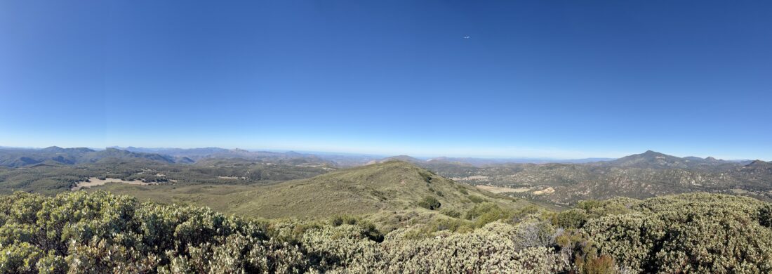
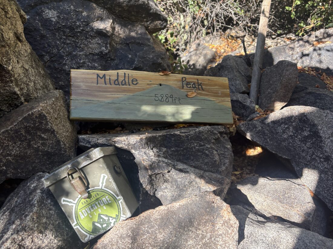
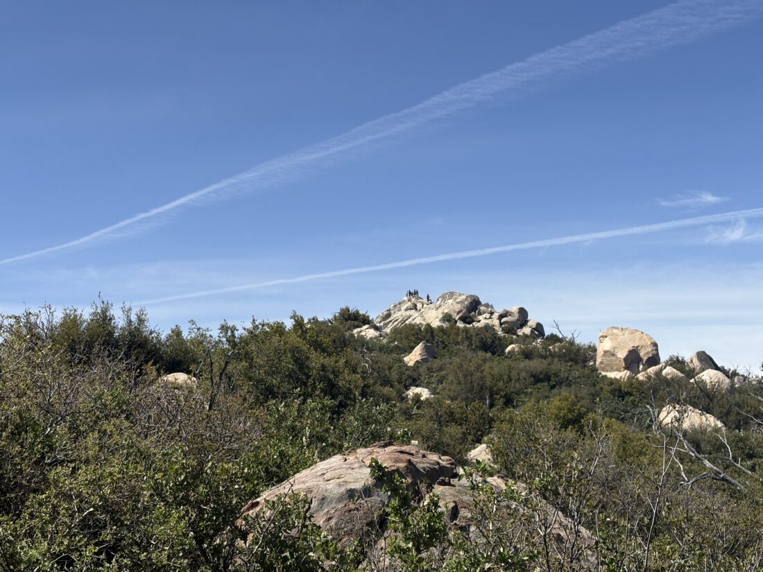
At our next junction, we took a short break as the climb was about to begin. Becca pushed herself upward with her heavy pack on her shoulders. Thankfully, I got her to leave 2 liters of water in the car. She is preparing to overnight on San Jacinto, so I was explaining where the water sources are and about how much she might need. Soon, the summit came into view, and we climbed over the granite and up the stairs to the summit. A couple of people were also at the top, taking in the 360° views. We took a short break before working our way back down from the summit.


Our route now would be the direct route from the campground. While we had seen only two people before reaching the summit, that was about to change. Several large groups passed us, making their way up. Apparently, a father-son group was staying at the campground, and the 30+ were headed to the top. Not sure how they were going to handle that, since they wouldn’t all fit up there at the same time. I pointed out the parking area I use when I climb Cuyamaca, and I noted there were a lot of cars there. It turns out there was a 100-mile race, so it was probably a good thing we opted for the day-use lot. Once back down, we chatted with a park volunteer staffing the entrance kiosk. We had hoped to try The Pub at Lake Cuyamaca, but the parking lot was full from the race (and others), so we opted for Dudley’s instead. Our loop covered 5.0 miles with 1.108 feet of gain.


I am an avid peak bagger, sometimes backpacker, and former sea kayaker living in San Diego. I am the co-author of Urban Trails: San Diego, available now!
In 2019, I became the third person to complete the San Diego 100 Peak Challenge. Not stopping with that accomplishment, I set my sights on the harder San Diego Sierra Club 100 Peak list, which I completed in 2021. In addition, I have conquered several Six-Pack of Peaks challenges (SoCal, San Diego, Central Coast, and both the Arizona-Winter and Arizona-Summer).
I am looking forward to exploring new summits and new adventures across the southwest.