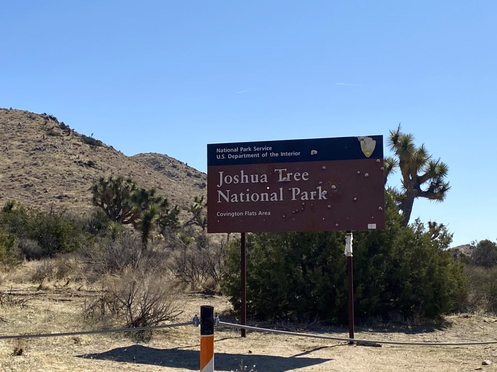
When blisters forced me to end my thru-hike of the California Riding and Hiking Trail in Joshua Tree, I began thinking of options to complete the last 11 miles. Initially, in mid-March, I had planned to hike the Eagle Rock Loop in Arkansas in conjunction with my grand-niece’s 3rd birthday. Unfortunately, my sister’s condition worsened, and she was placed on hospice. So, I decided to reschedule that backpacking trek until the fall. That also meant that I would have the time to spend the two days I needed to finish off the CRHT. We flew back to Little Rock for the birthday, but my sister took an unexpected turn and passed away late Saturday evening. My wife and I arrived home in San Diego very late on Monday. When it was just a visit, just the party and time with family, I penciled in doing the CRHT on the Wednesday and Thursday after we returned. I talked it over with Anita, and she said I should still go. Some time alone out in the wilderness will be good for you, plus Mindy always loved my adventures. It let her “get out” when she no longer could. So, on Tuesday, I assembled my gear and was ready to set out for some healing time on the trail.


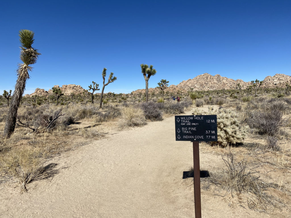
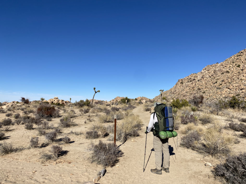
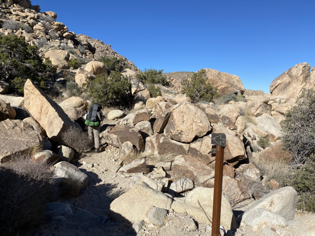
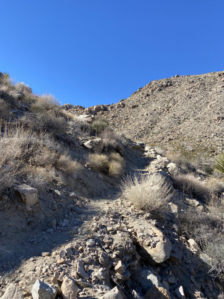
My plan was straightforward: Start from the North Entrance Trailhead, hike to the Geology Road Trailhead, then make a U-turn and hike back to the car. The drive out was pretty uneventful. This time, I made sure I had my hiking shoes. Actually, two pairs of hiking shoes. After the blisters for the first attempt and an issue during my hike in Borrego Palm Canyon, I decided to switch to Altra Lone Peak 9’s. This hike would be their maiden voyage on my feet. I did bring my Merrell Moab 2’s just in case I found that I did not like the new shoes, I might be able to return to the car and switch my footwear. I planned two water caches; the first was two 1-liter bottles at the Arch Rock Trailhead (1 liter for the hike out and the other for the hike back), and the second cache was at the Geology Road Trailhead, where I left one 1-liter bottle. Like before, I carried two 1-liter bottles on the sides of my pack and a .75-liter bottle in my shoulder pouch.


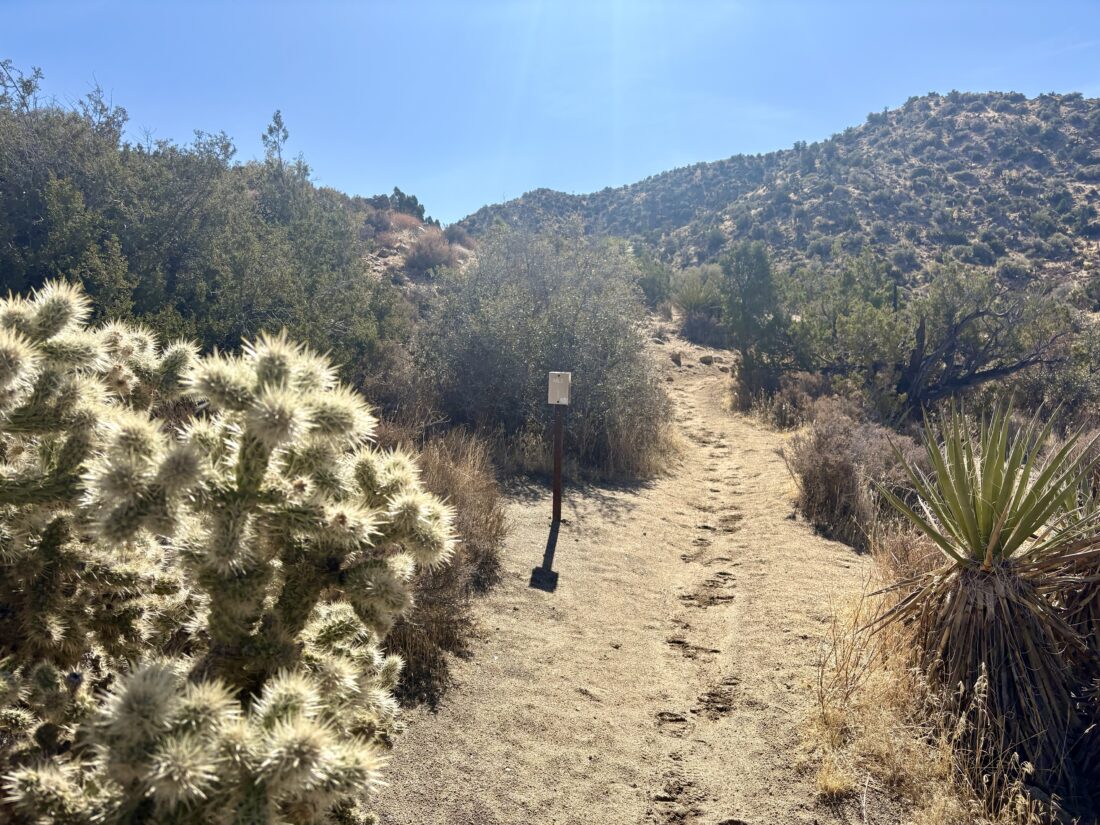
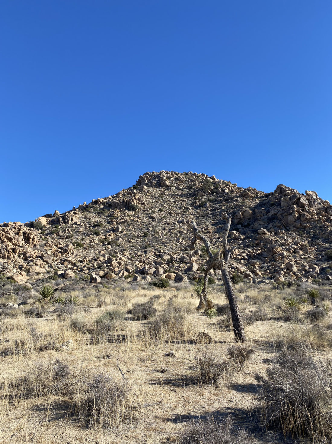
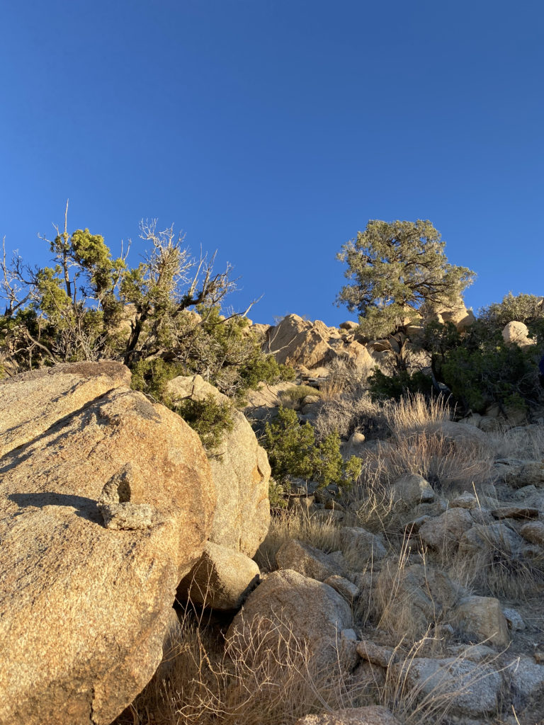
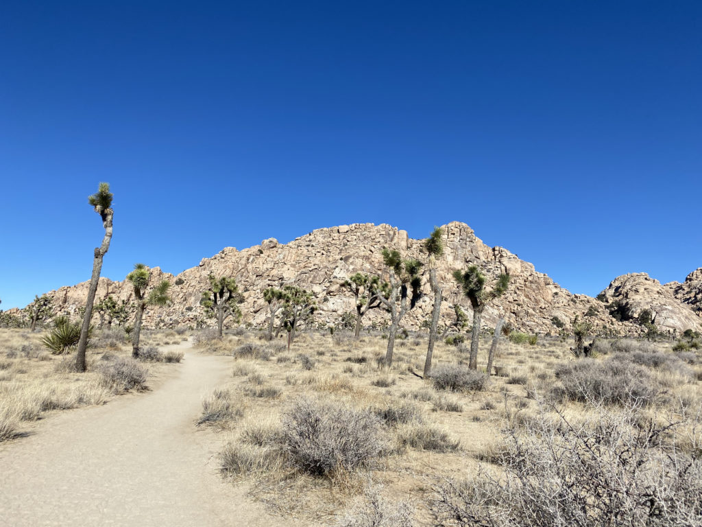
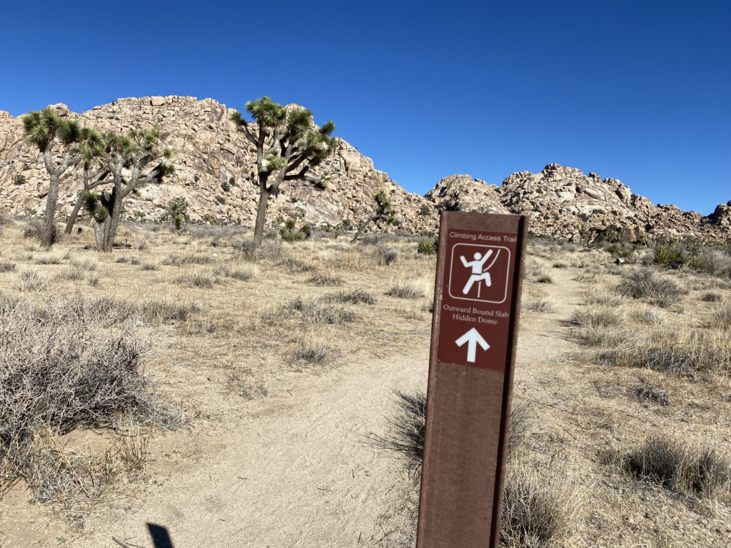
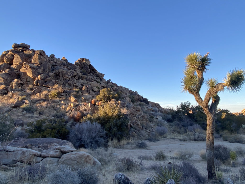
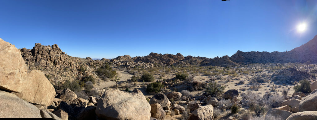
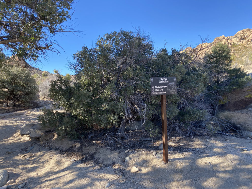
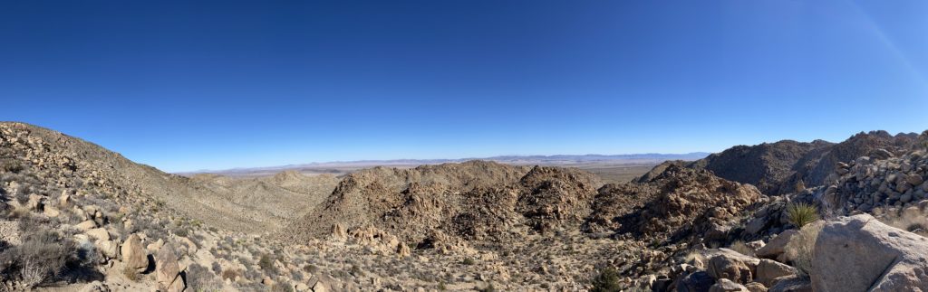
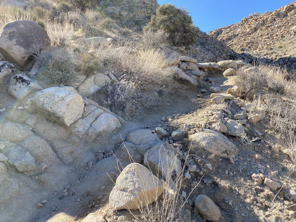
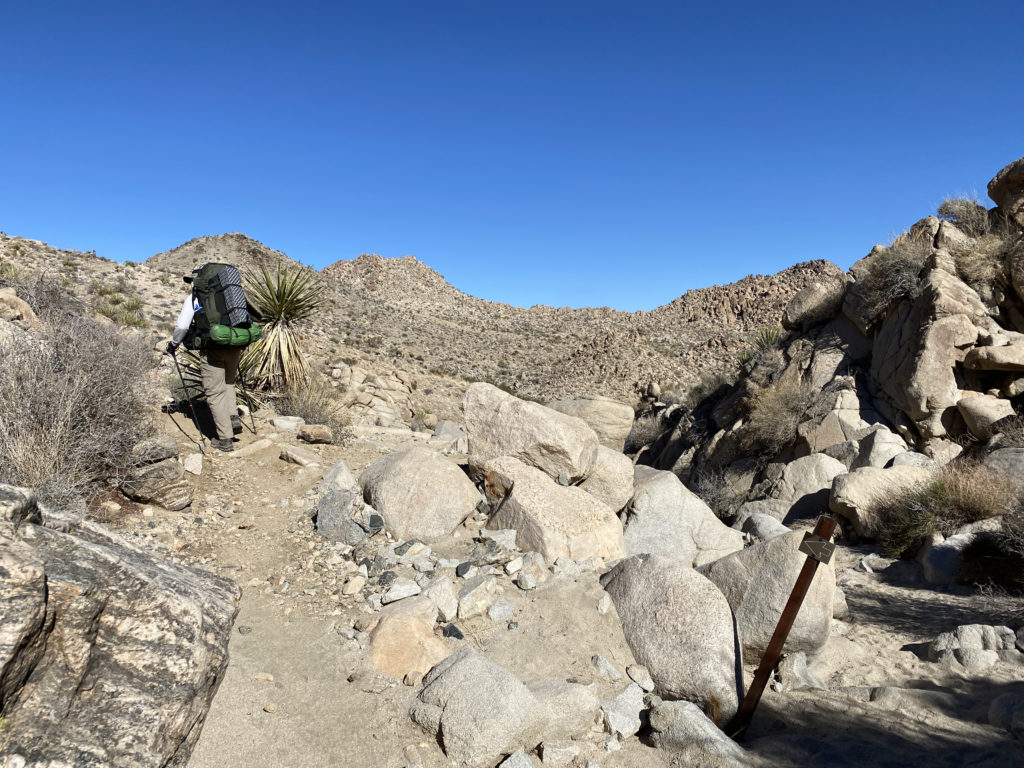
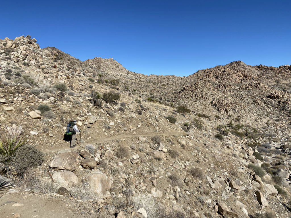
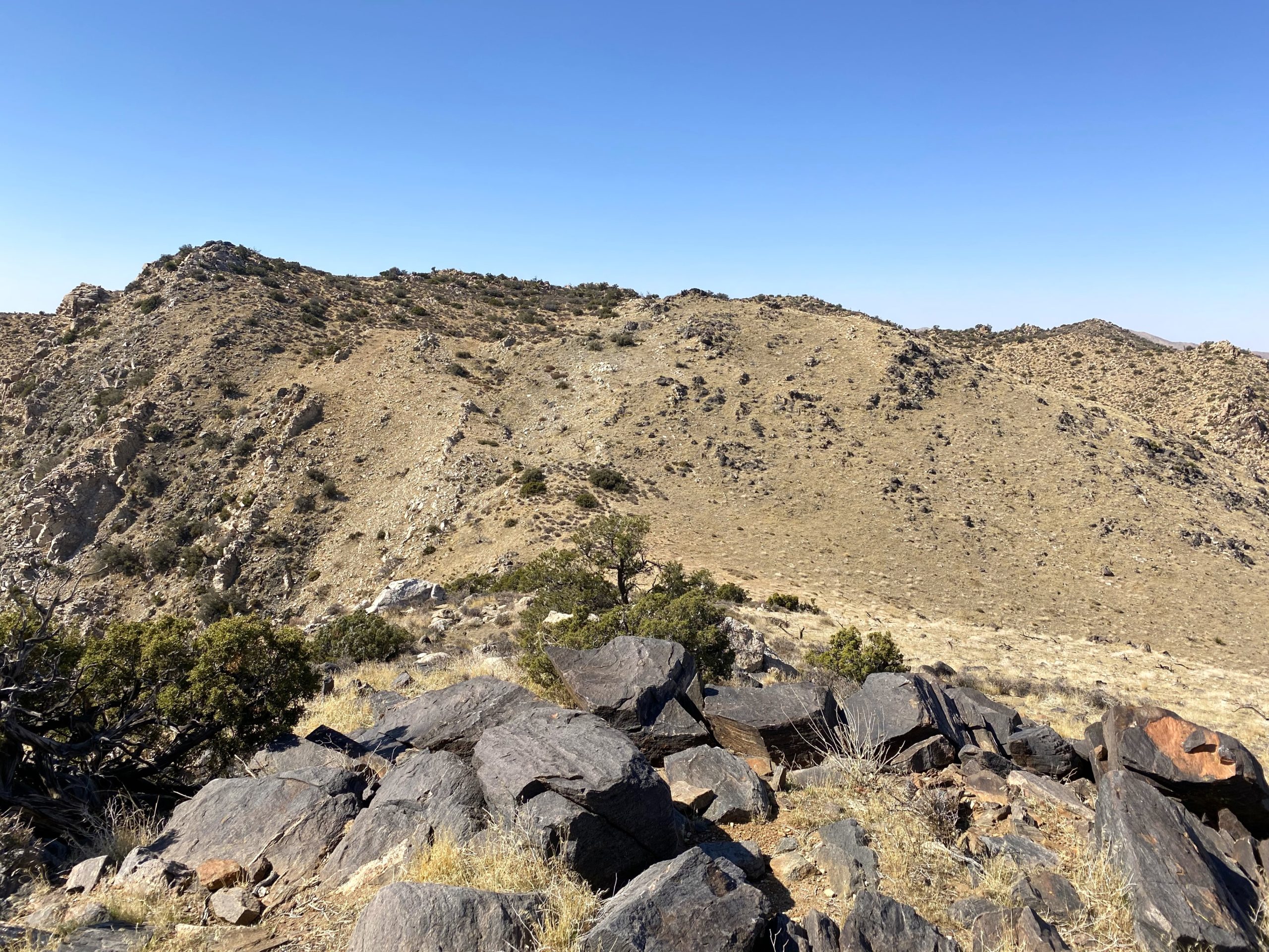
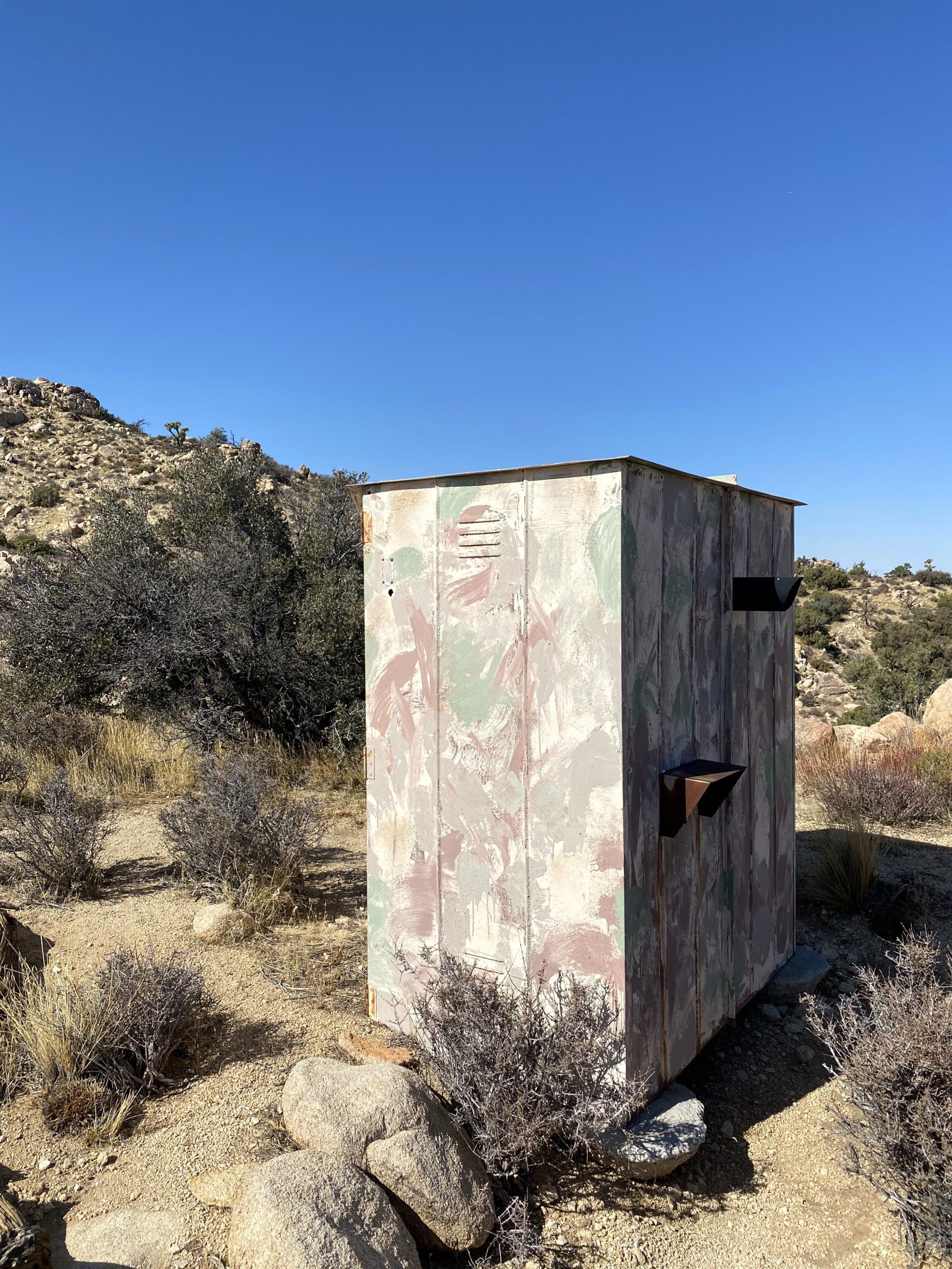
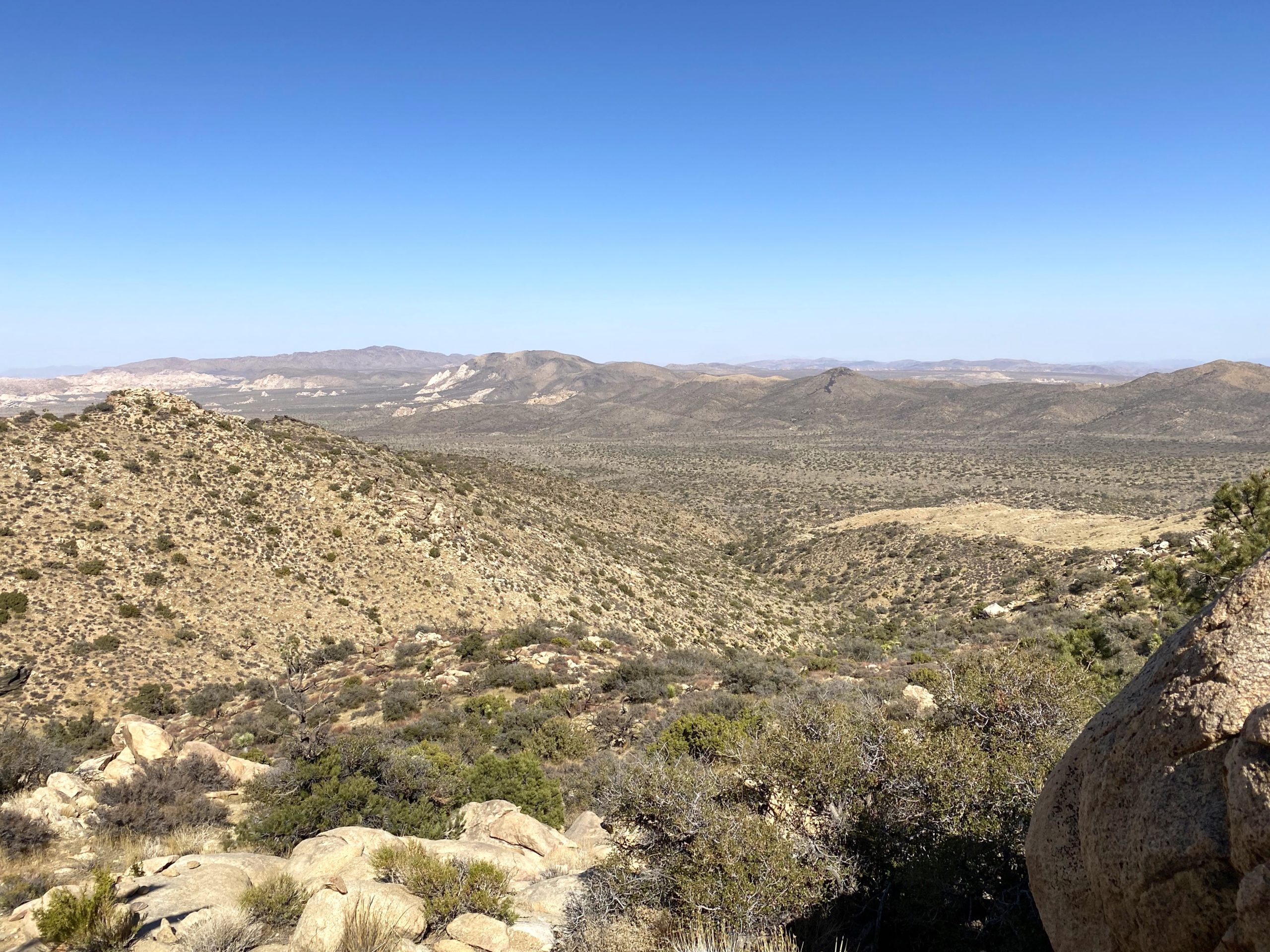
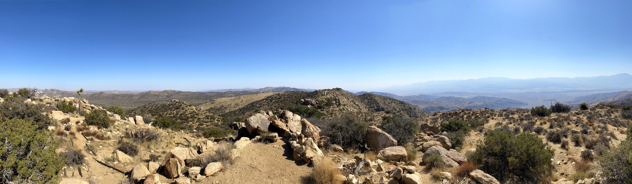
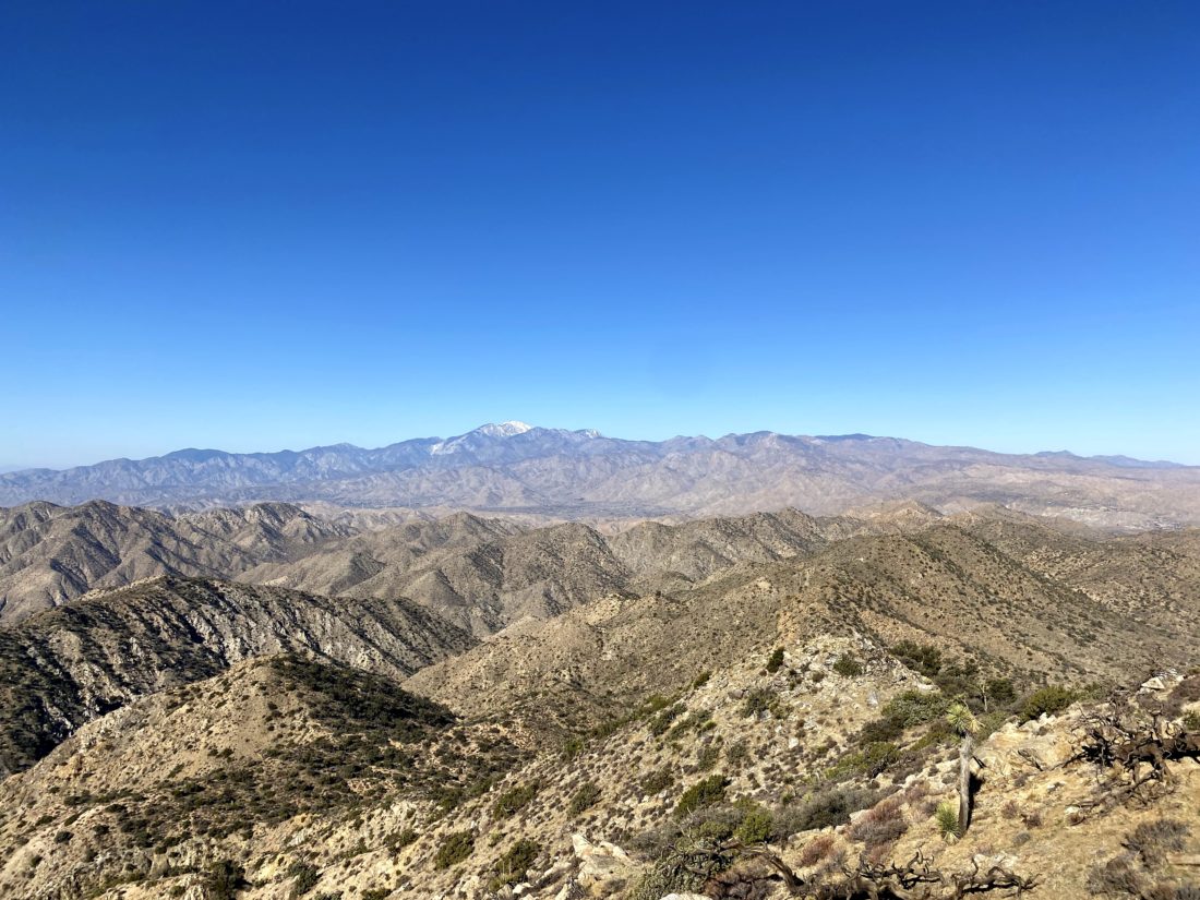
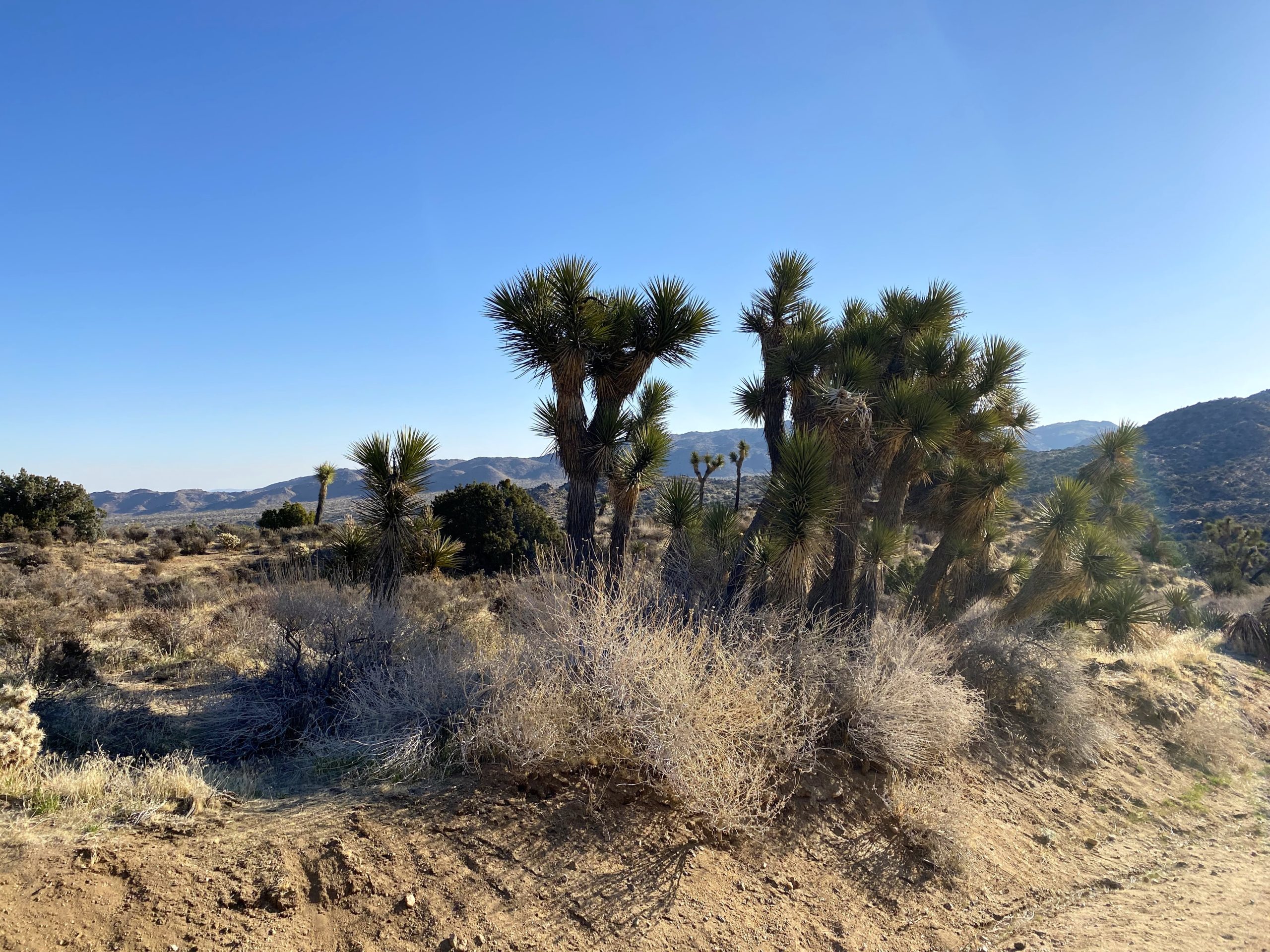
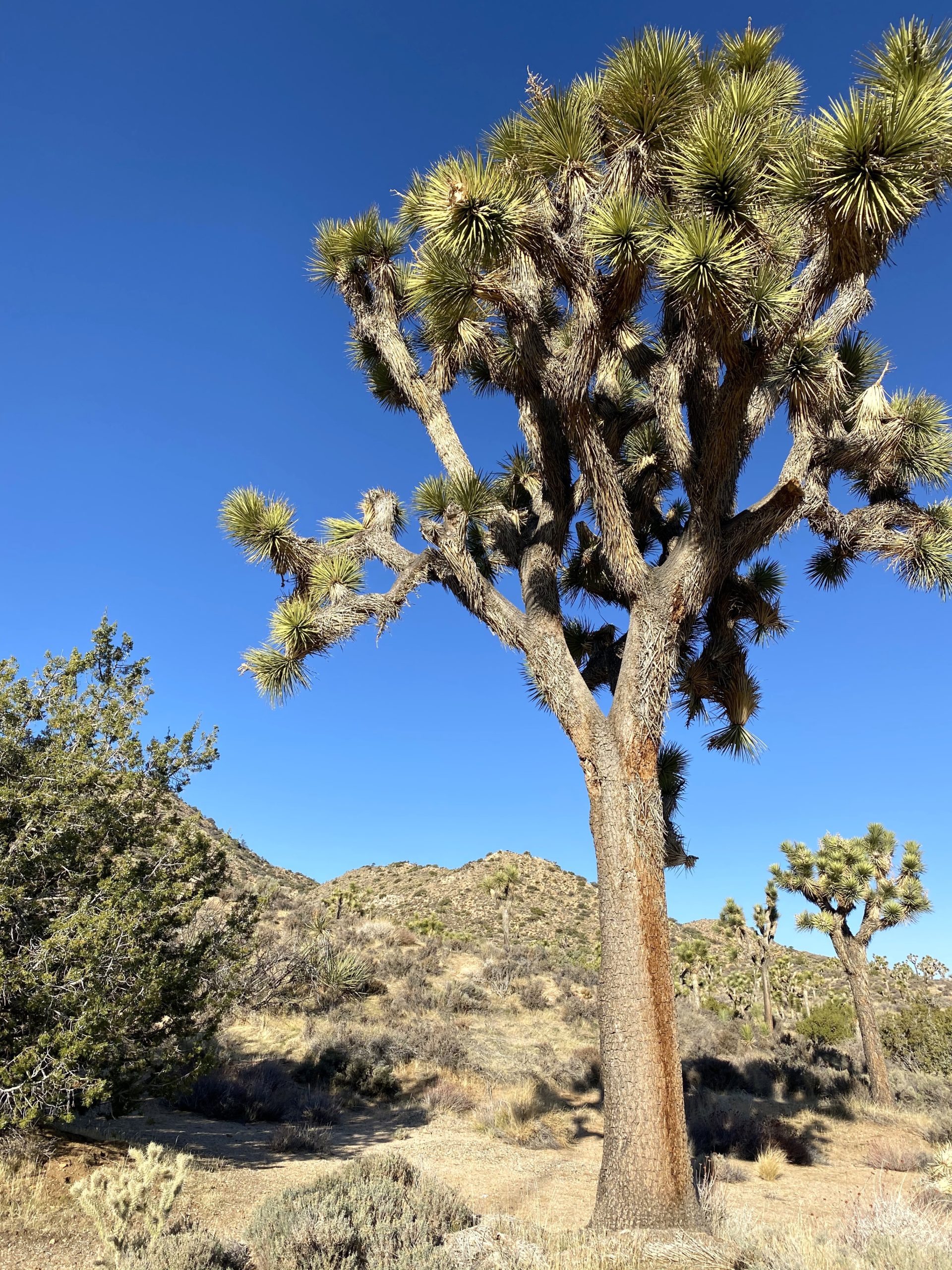
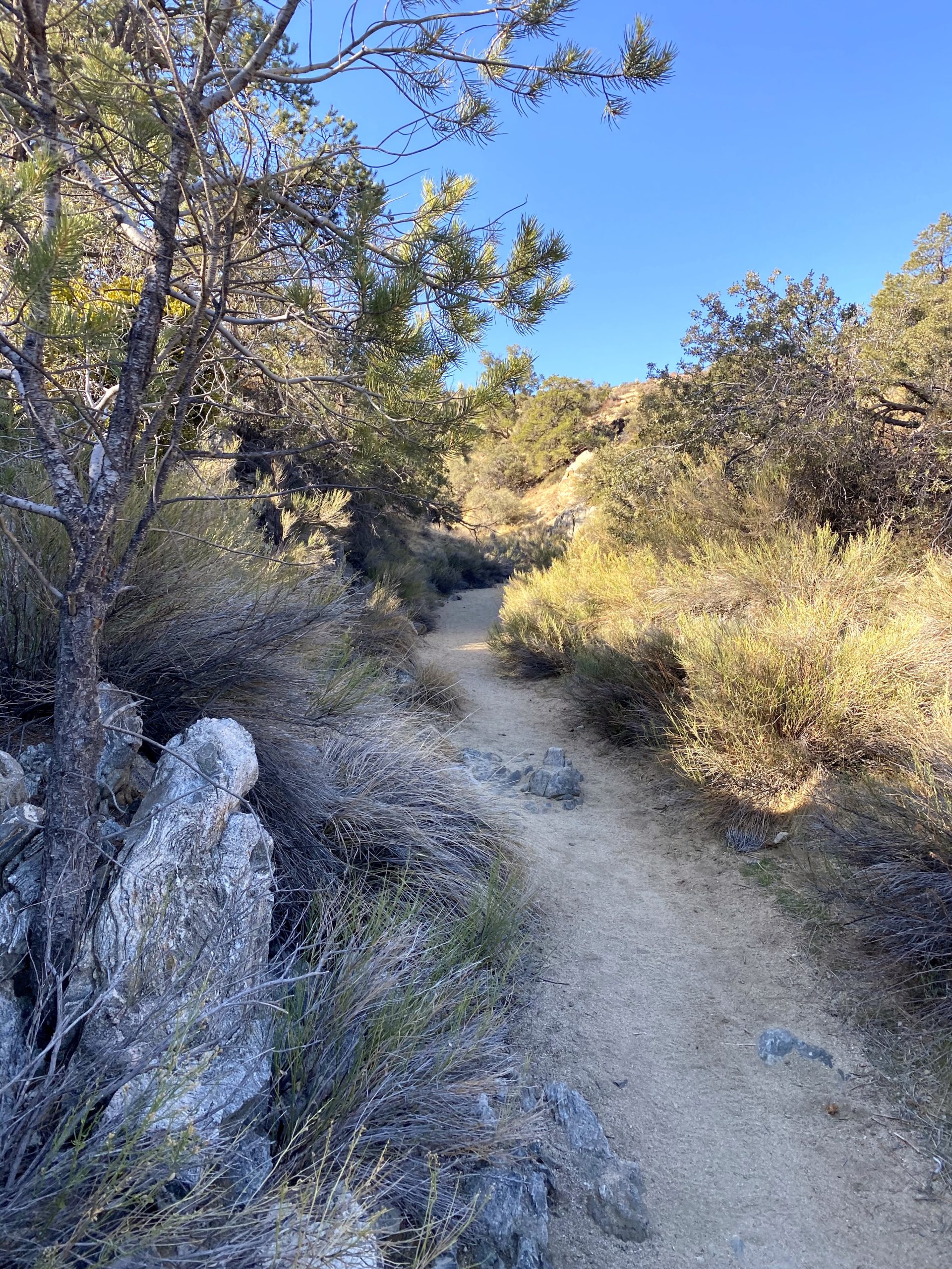
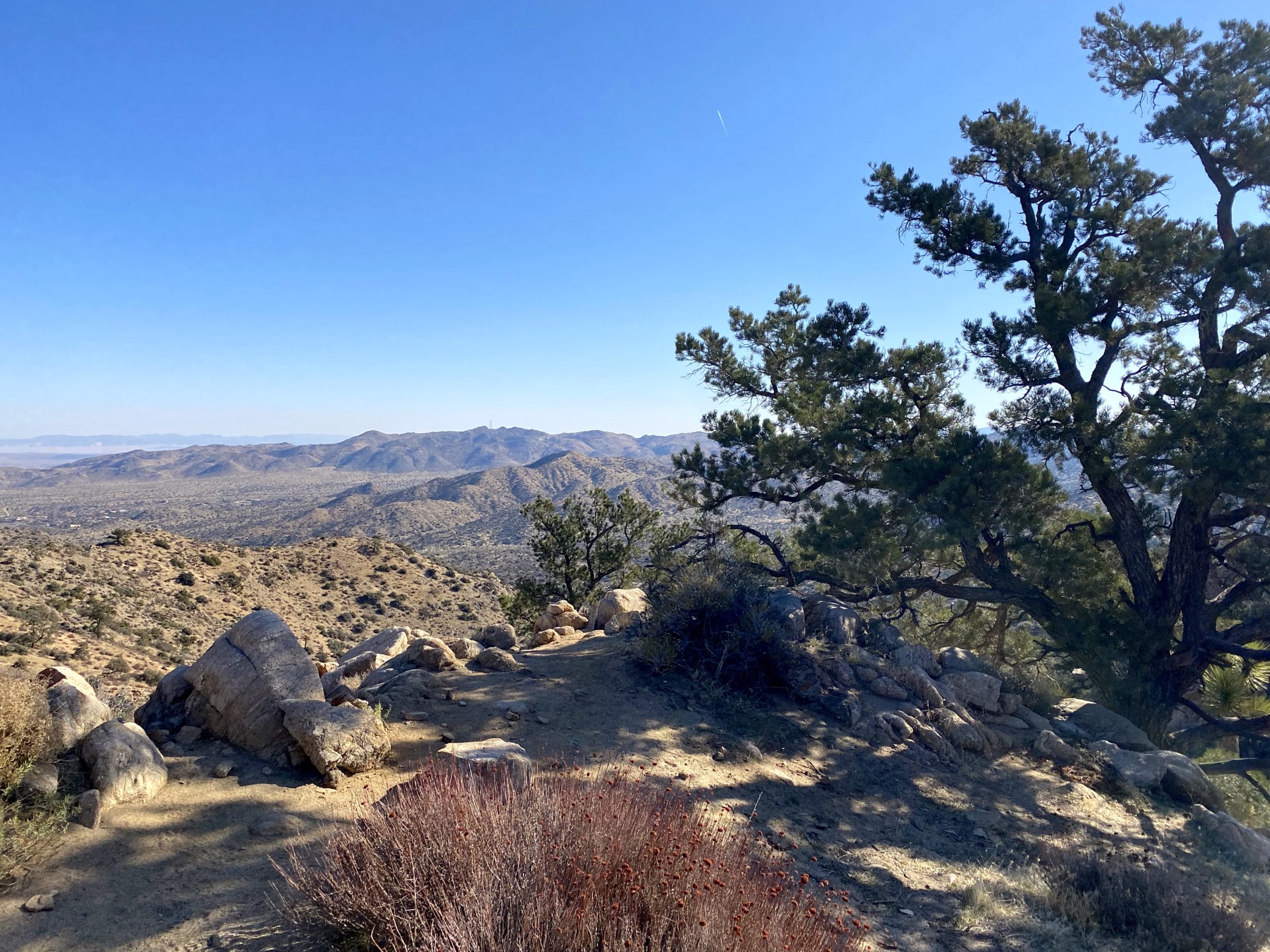
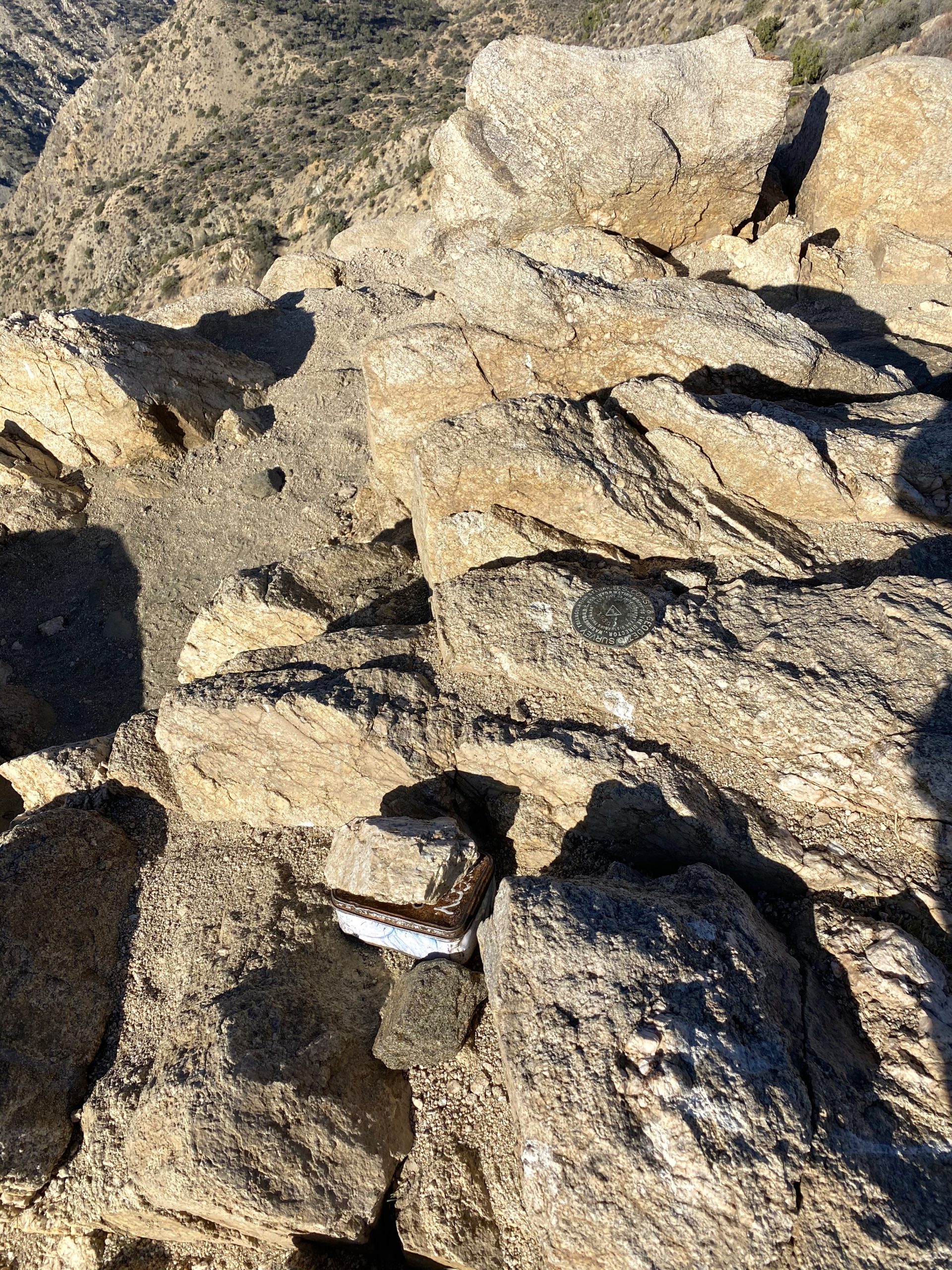
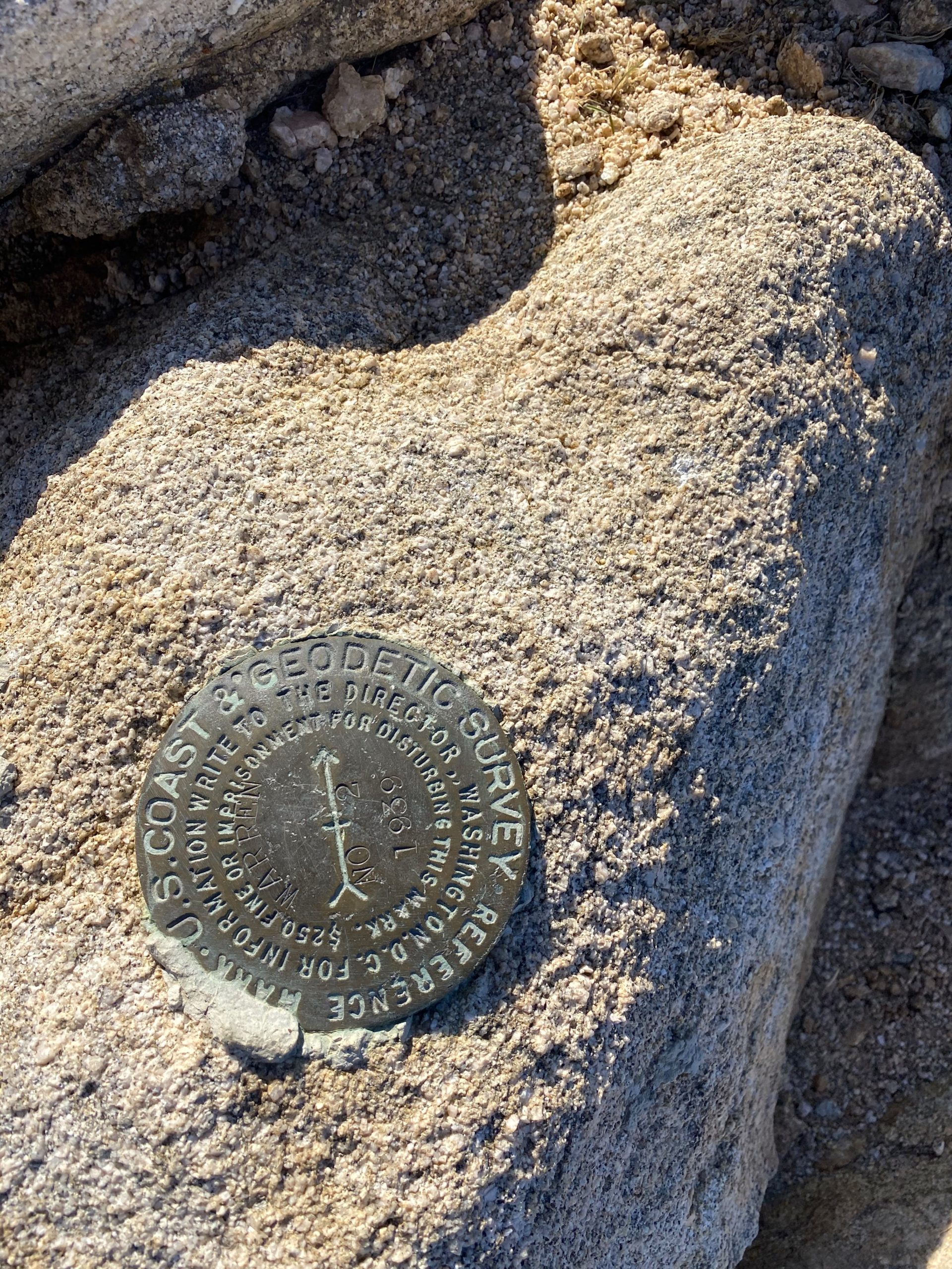
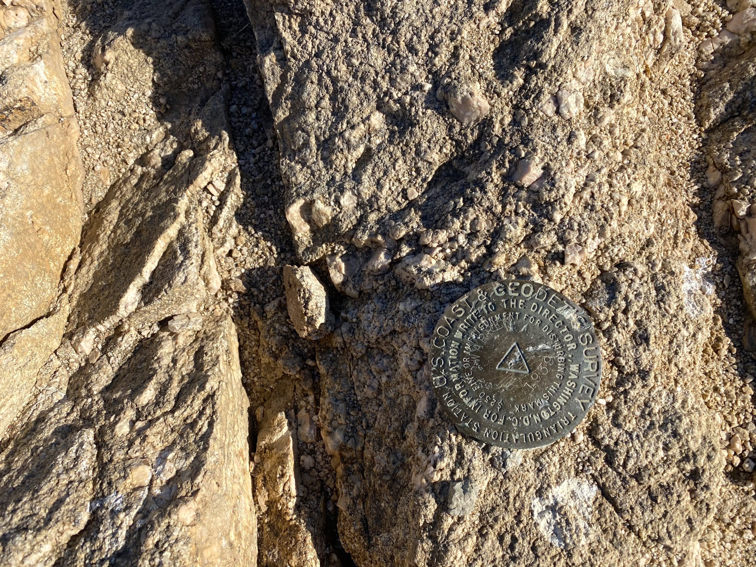
I parked at the trailhead and gathered my gear. The weather was perfect, with just a light breeze. I brought my tripod again, this time hoping for more filming along the way. The trail heads mostly southward and gently gains in elevation. After just 6 miles, I spotted Belle Campground and made a slight detour. I used the pit toilet and found an empty picnic table to sit at and enjoy my lunch. After some tuna, oranges, and a Kit-Kat bar, I set off toward the Arch Rock Trailhead. There, I picked up one of the water bottles and slipped it into my pack.


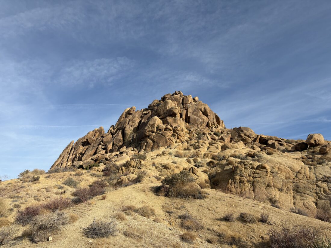
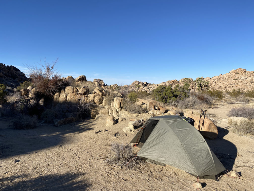
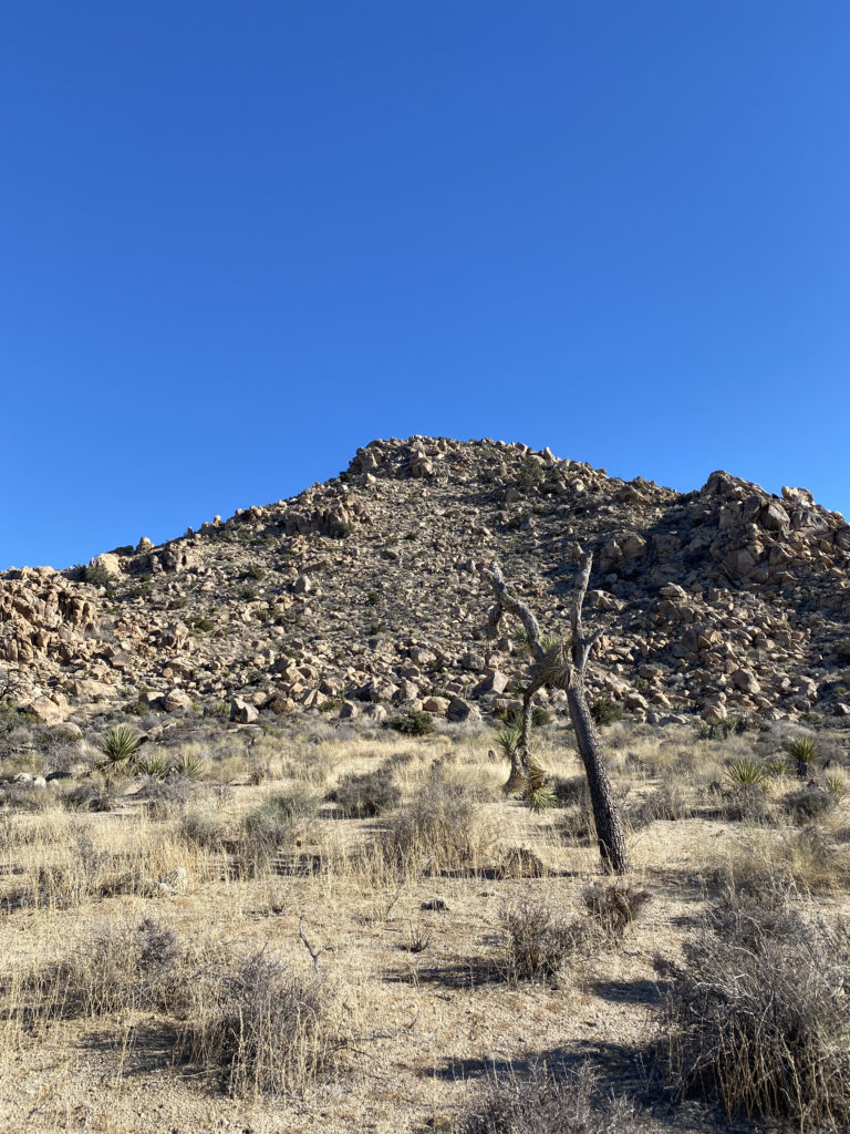
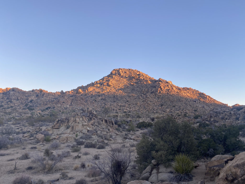
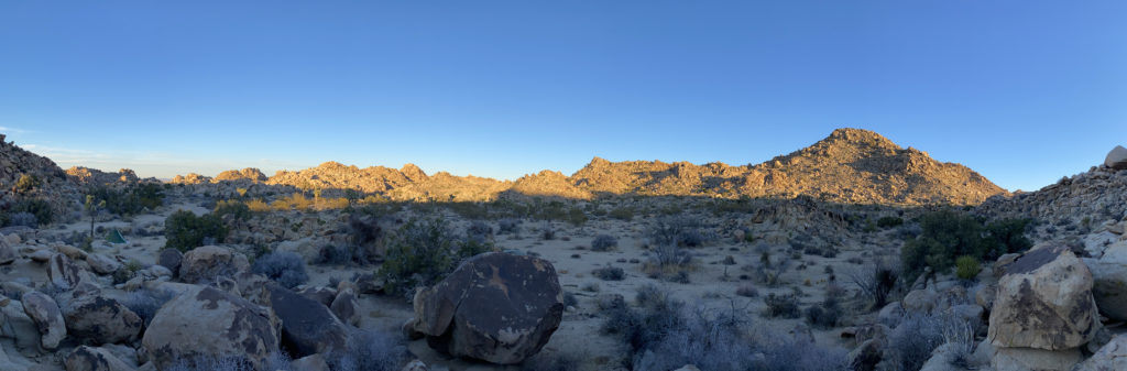
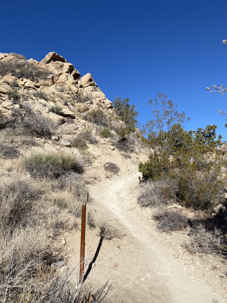
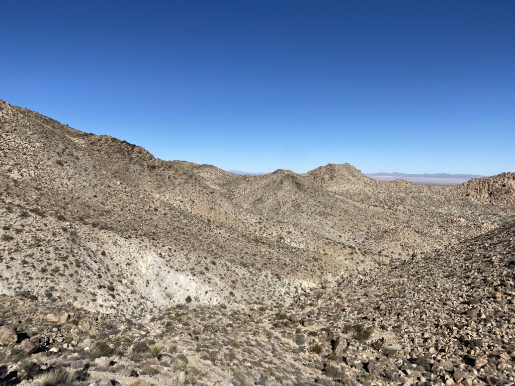
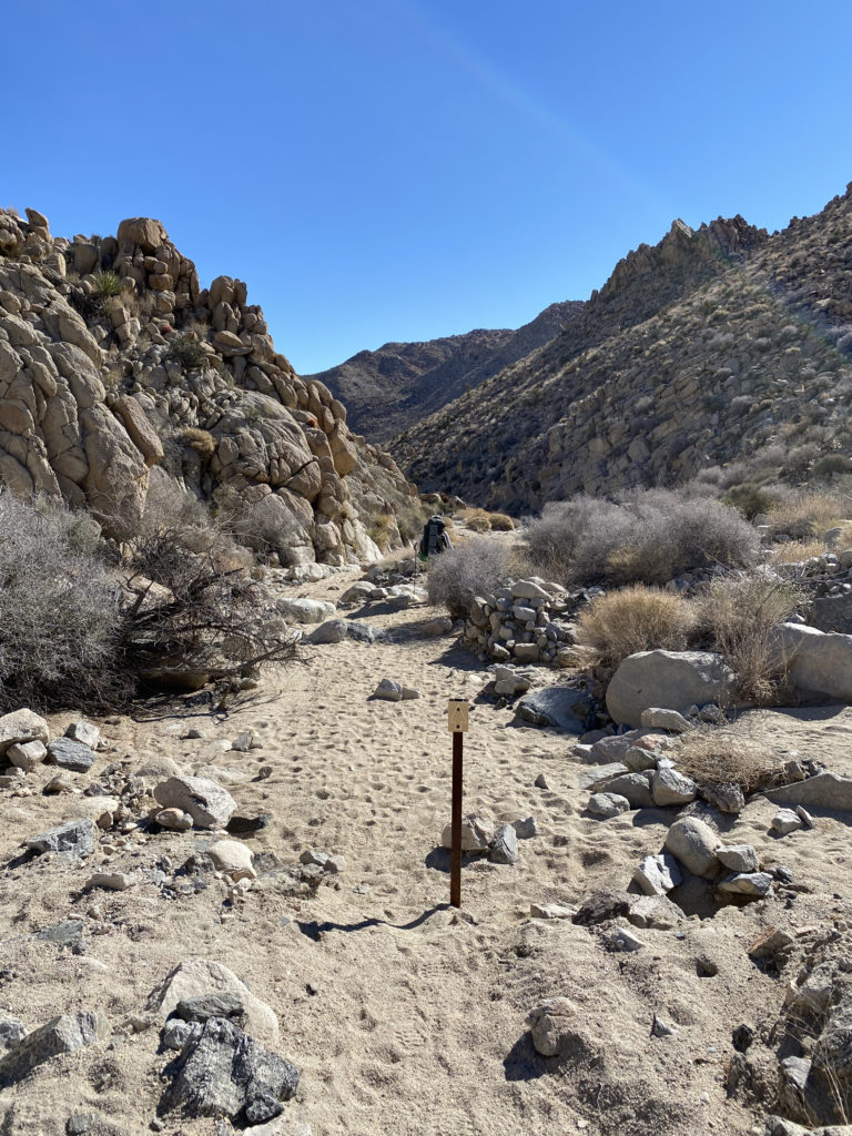
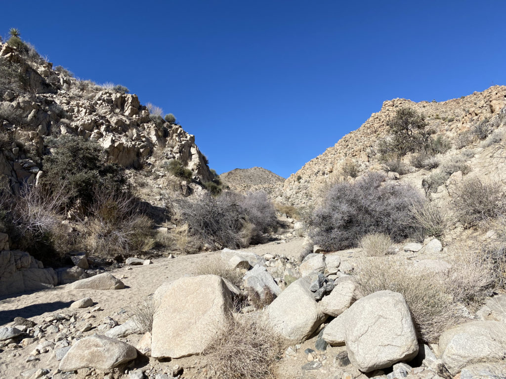
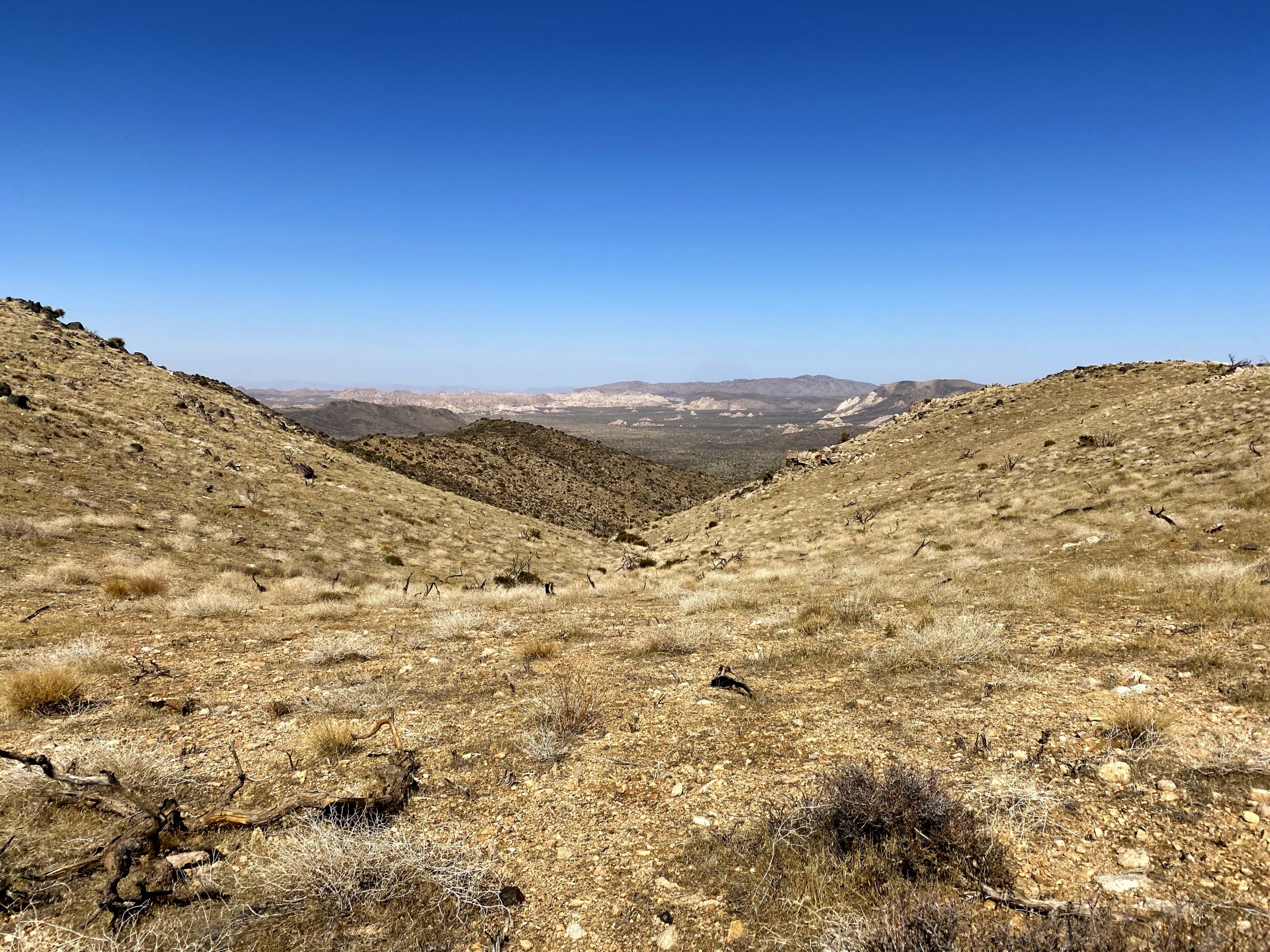
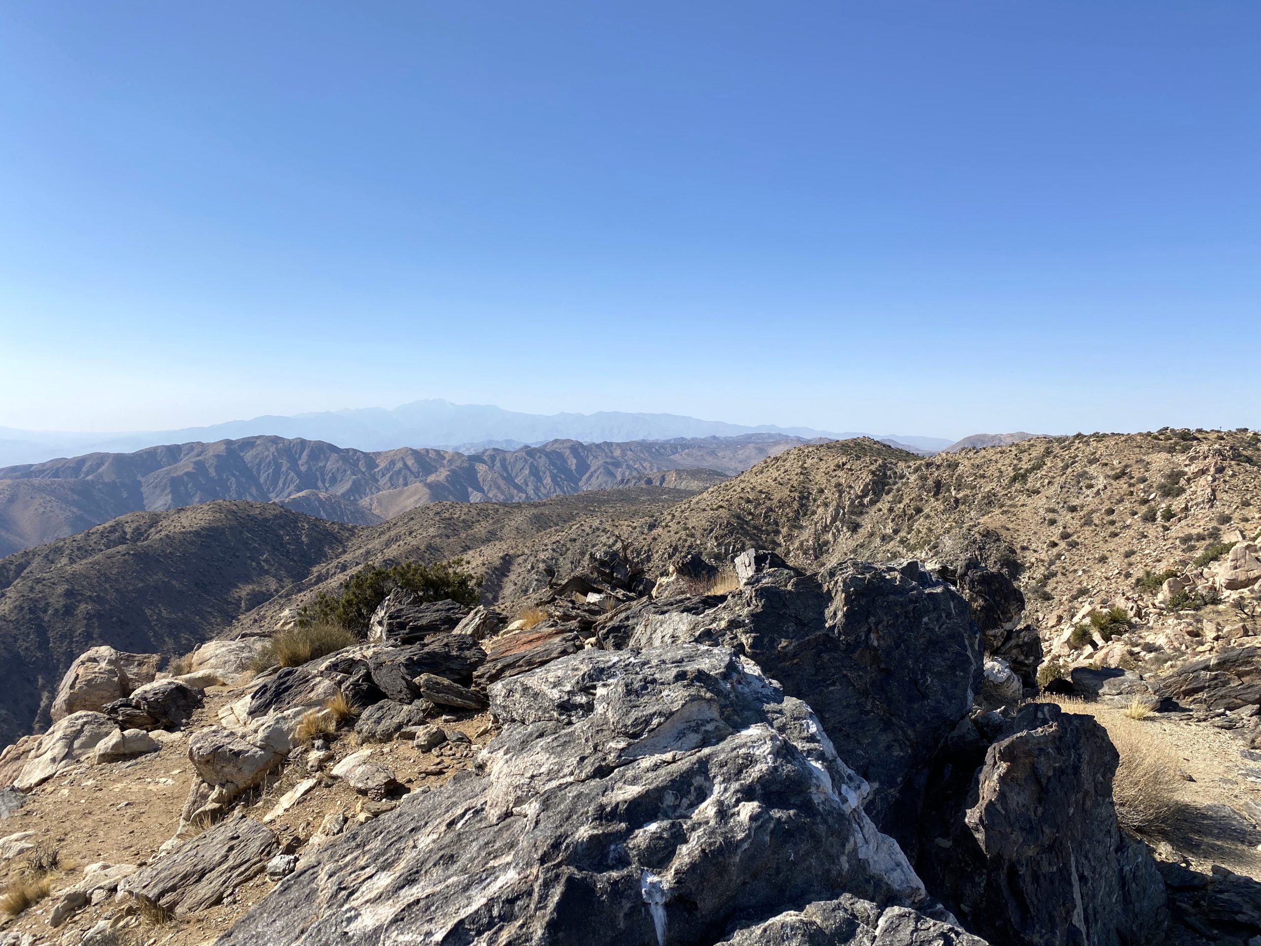
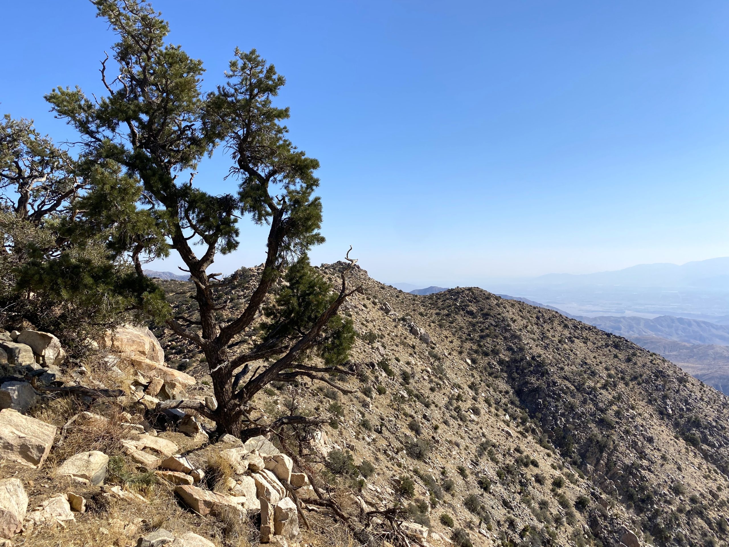
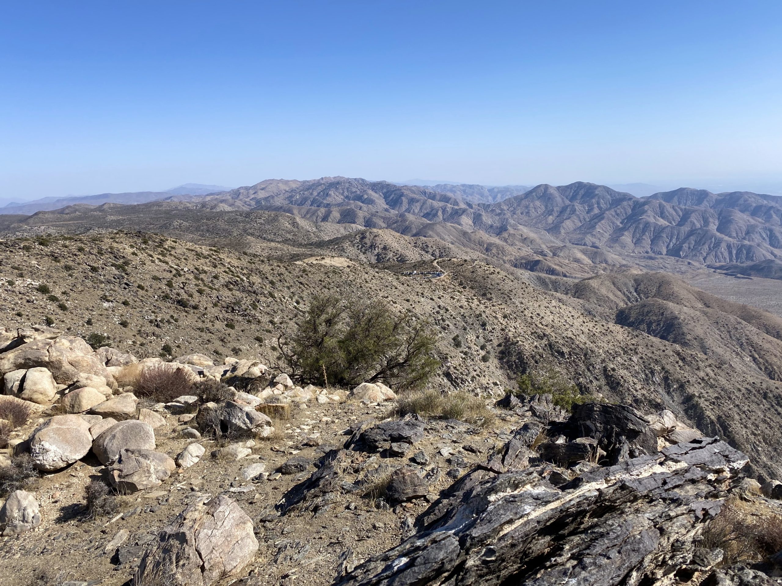
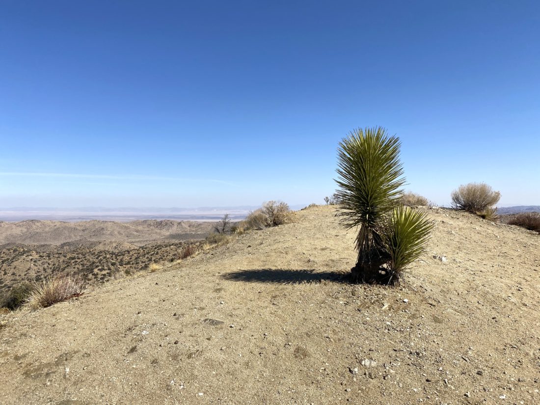
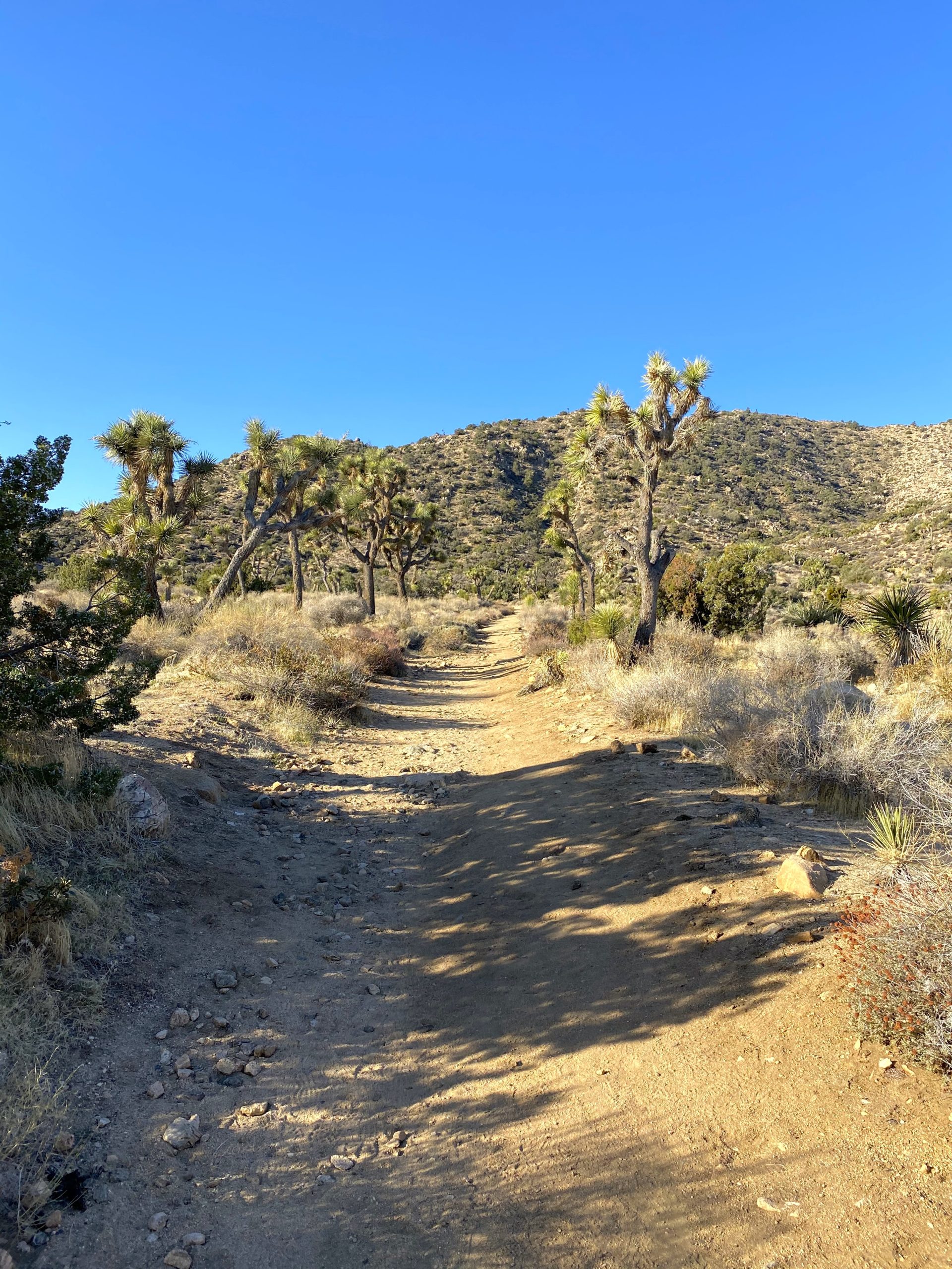
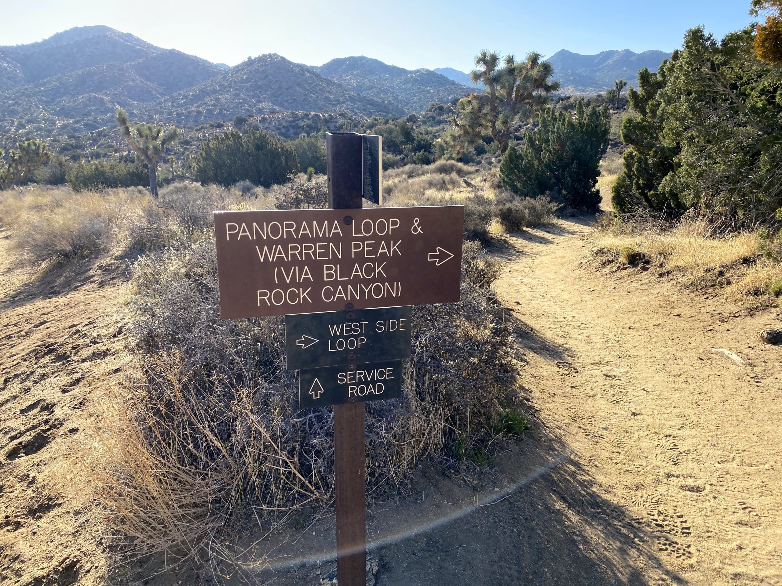
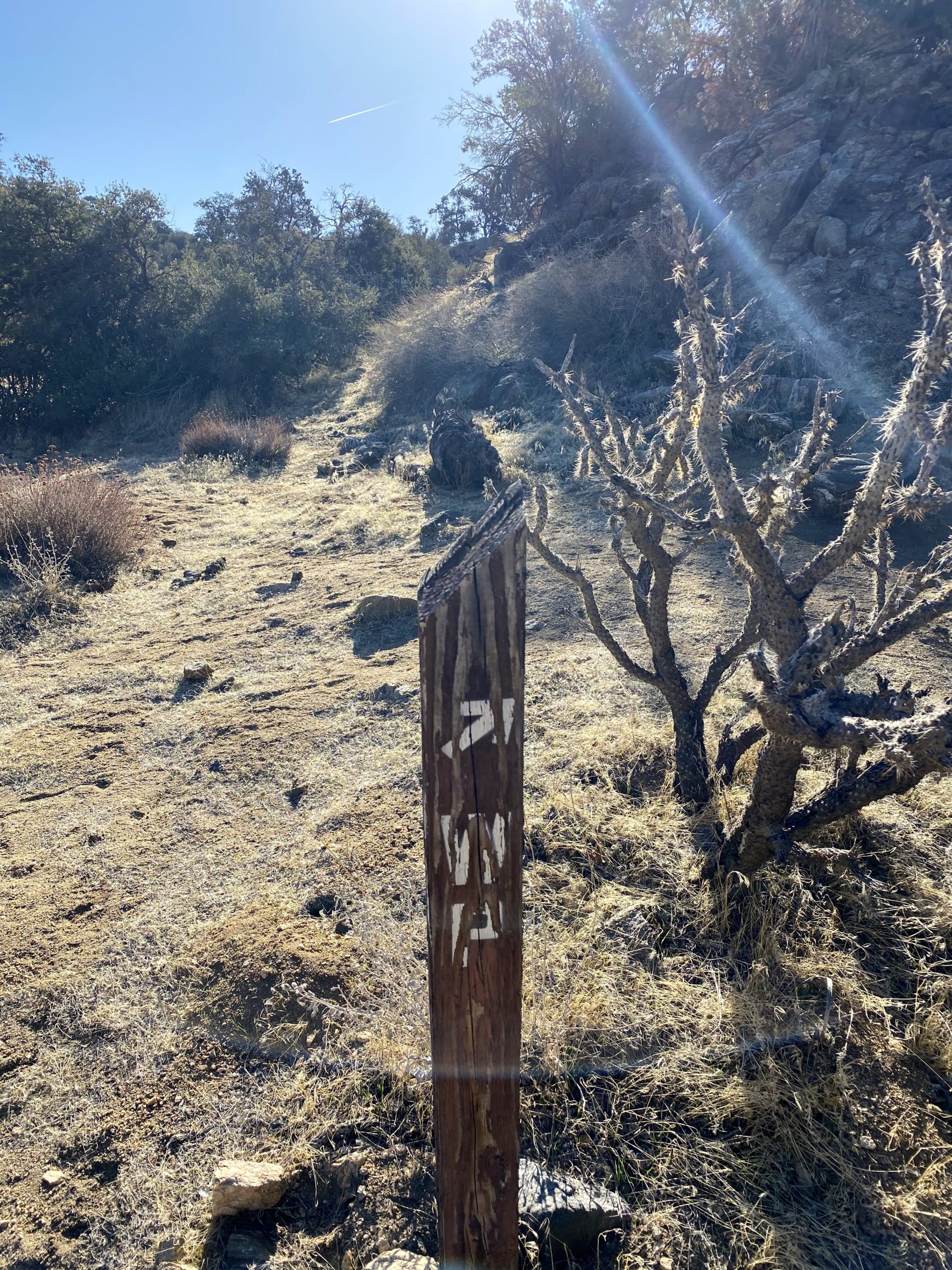
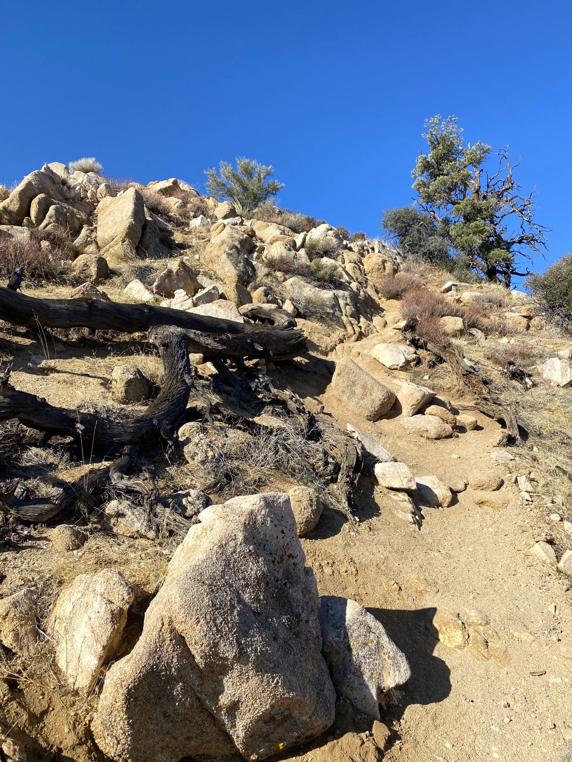
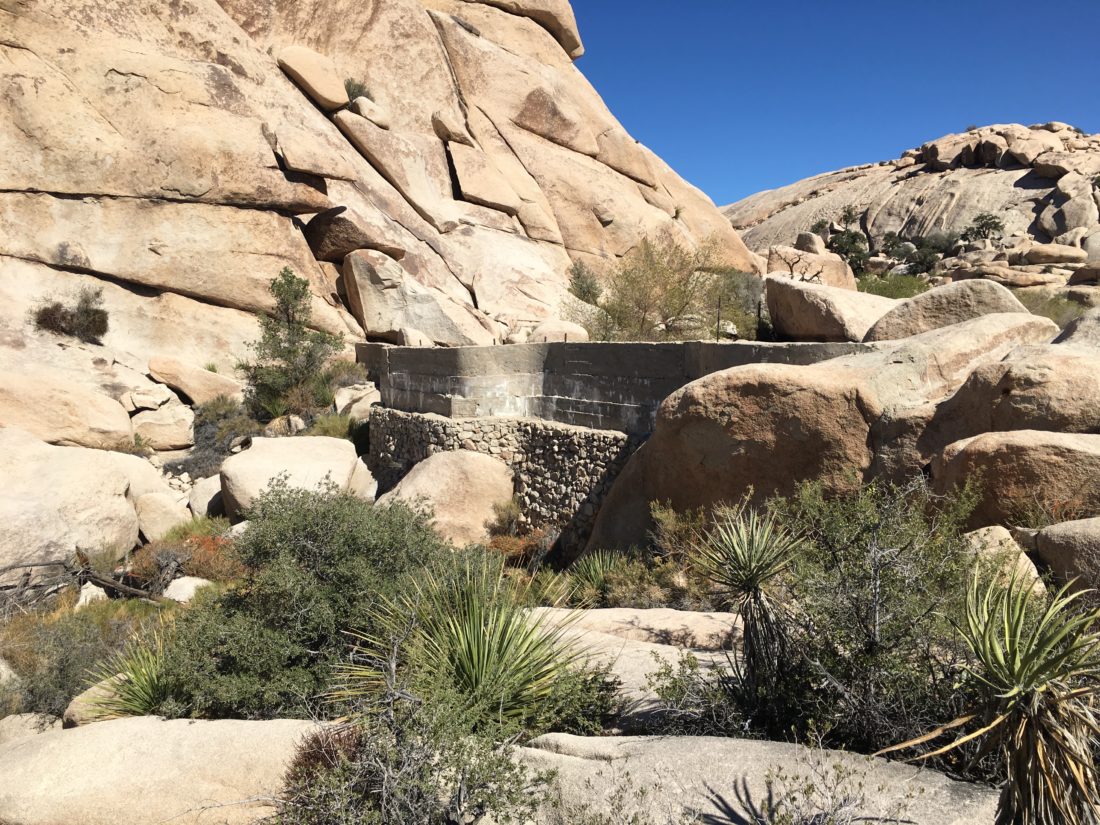
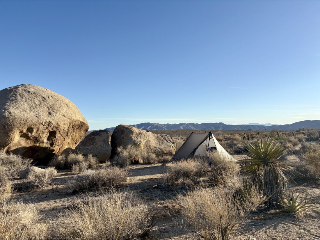
The trail now turned eastward. As my shoes crunched on the desert floor, my thoughts turned to my sister. My mom had given her up for adoption before I was even born (11 years to be exact), and I did not learn of her existence until 2000 (by accident). Finally, in 2018, we discovered one another and had seven wonderful years together. Soon, I spotted the recommended campsite and found a perfect spot to pitch my tent. After setting up camp, I looked at the time and was feeling good, so I changed my plans. Initially, I had planned to hike out to Geology Road to pick up the water cache in the morning and hike the 11+ miles back to the car. Instead, I decided to go ahead and hike over, get the liter, and hike back, making it closer to the original plan in February. I left the trekking poles behind as they were holding up my tent and headed out. It was so weird to hike without them, I didn’t know what to do with my hands… Soon, I saw the glint of sunlight on a windshield and knew the trailhead was close. I reached it in no time and gathered my water. I reflected on the difference—the last time I was here hiking, my feet had blisters, and I was completely defeated. This time, while my heart was filled with sadness from the loss of my sister, the rest of me felt great, including the feet in the new shoes.


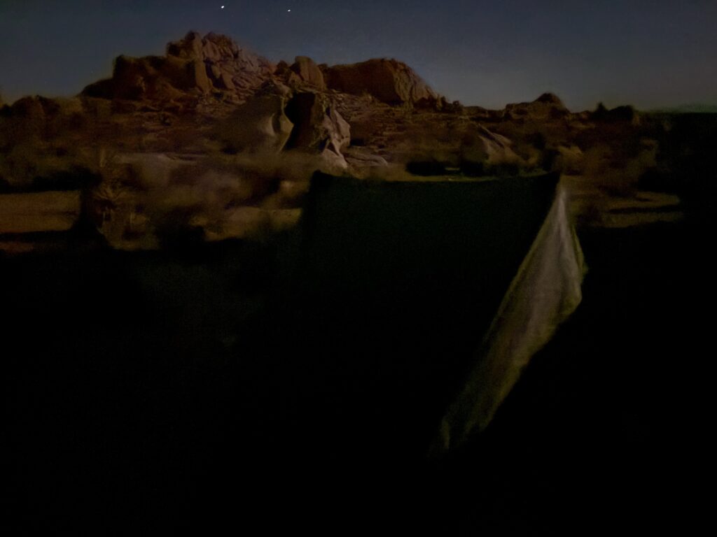

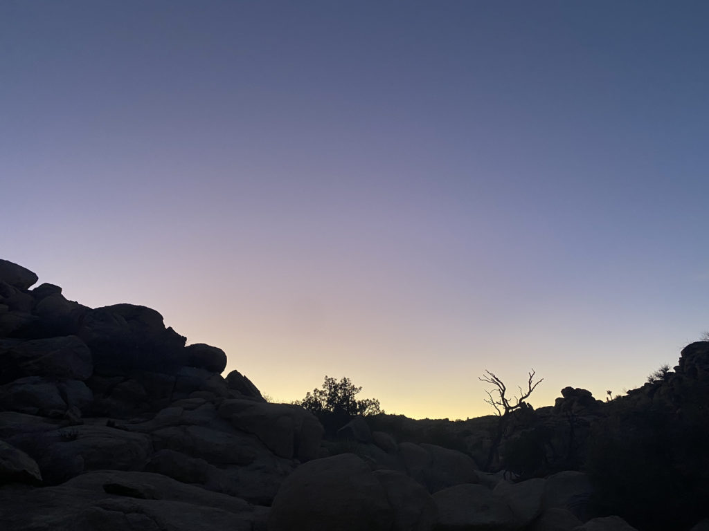
Once back at camp, I relaxed in the chair I brought and watched the sun sink lower over the horizon. I made dinner and soon crawled into my tent to drift off to sleep. Initially, there was to be a SpaceX launch out of Vandenberg around 11, but I had a cell signal and learned that the launch had been delayed, so I deleted that alarm from my phone. During the night, I did wake up and try for some photographs of the incredibly starry night I was sleeping under. I really need to find some good tutorials of how to adjust the settings to get better night photography.


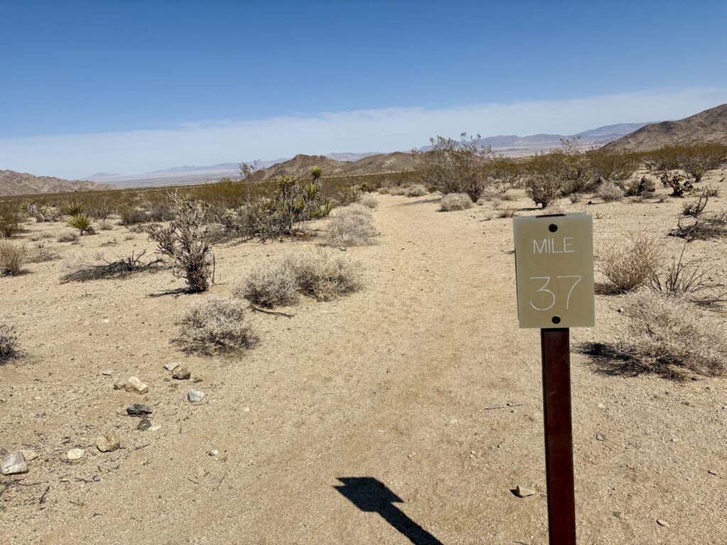

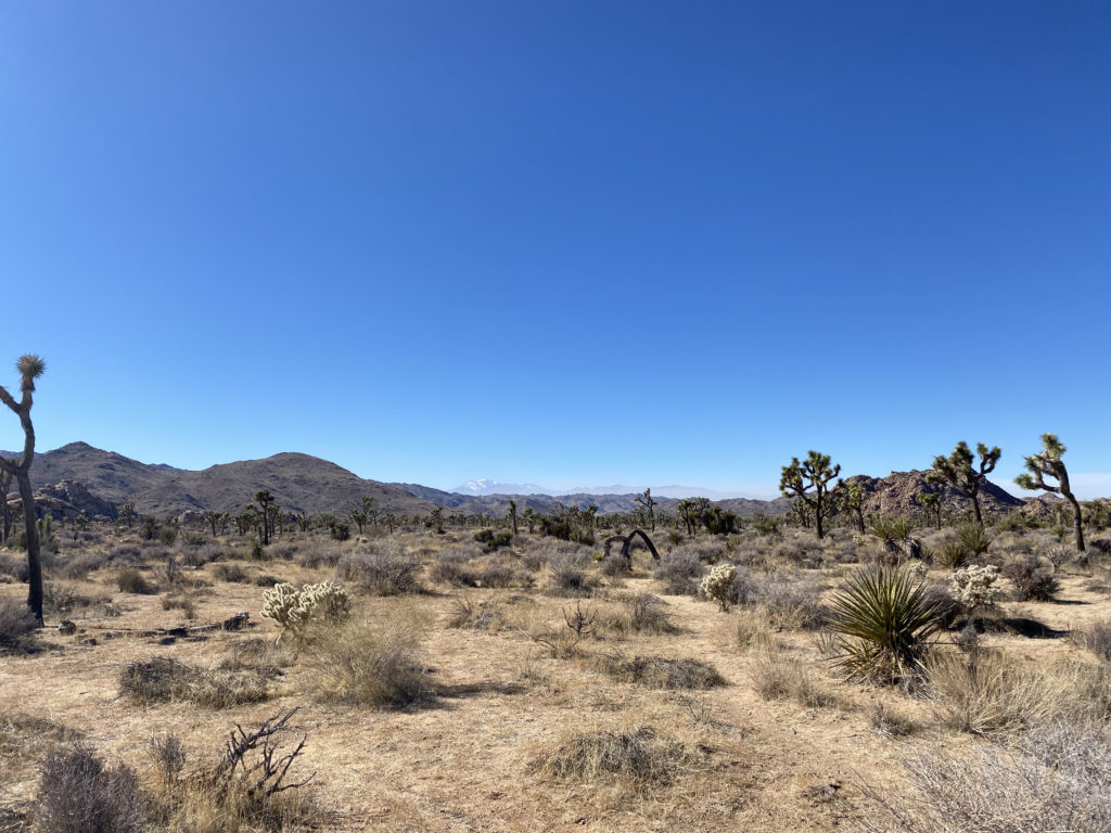
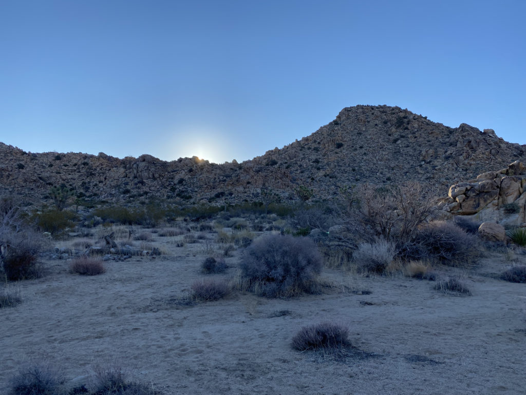
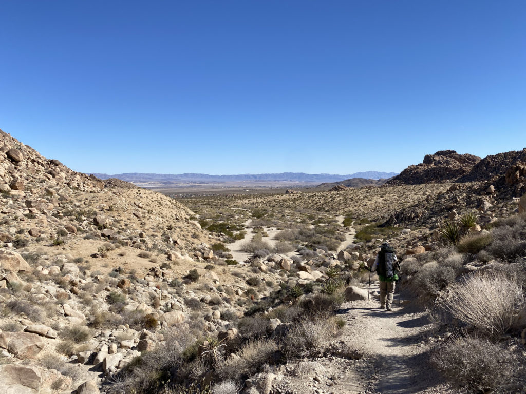
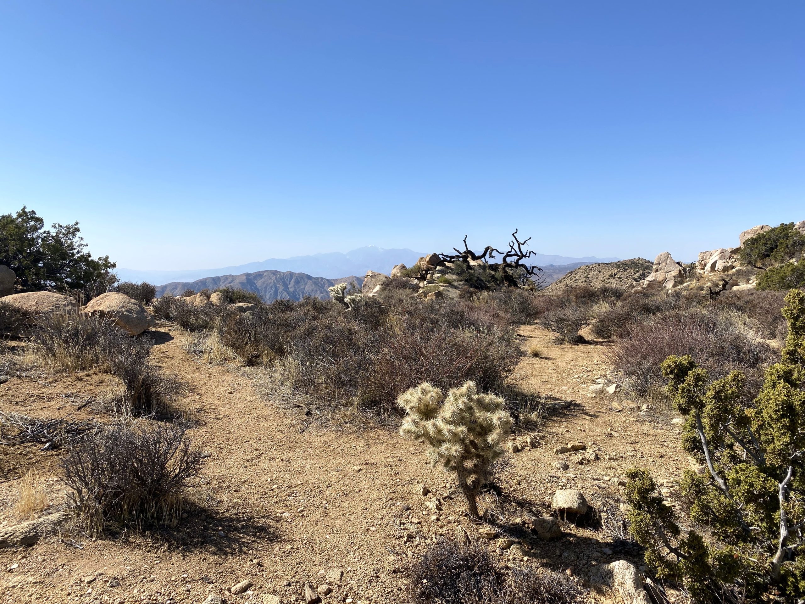
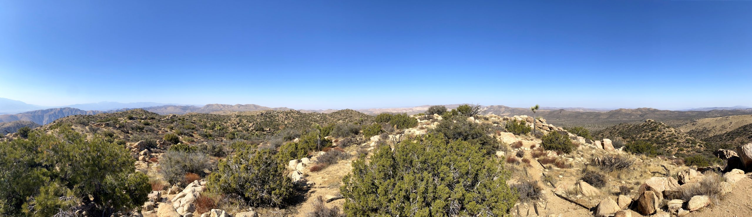
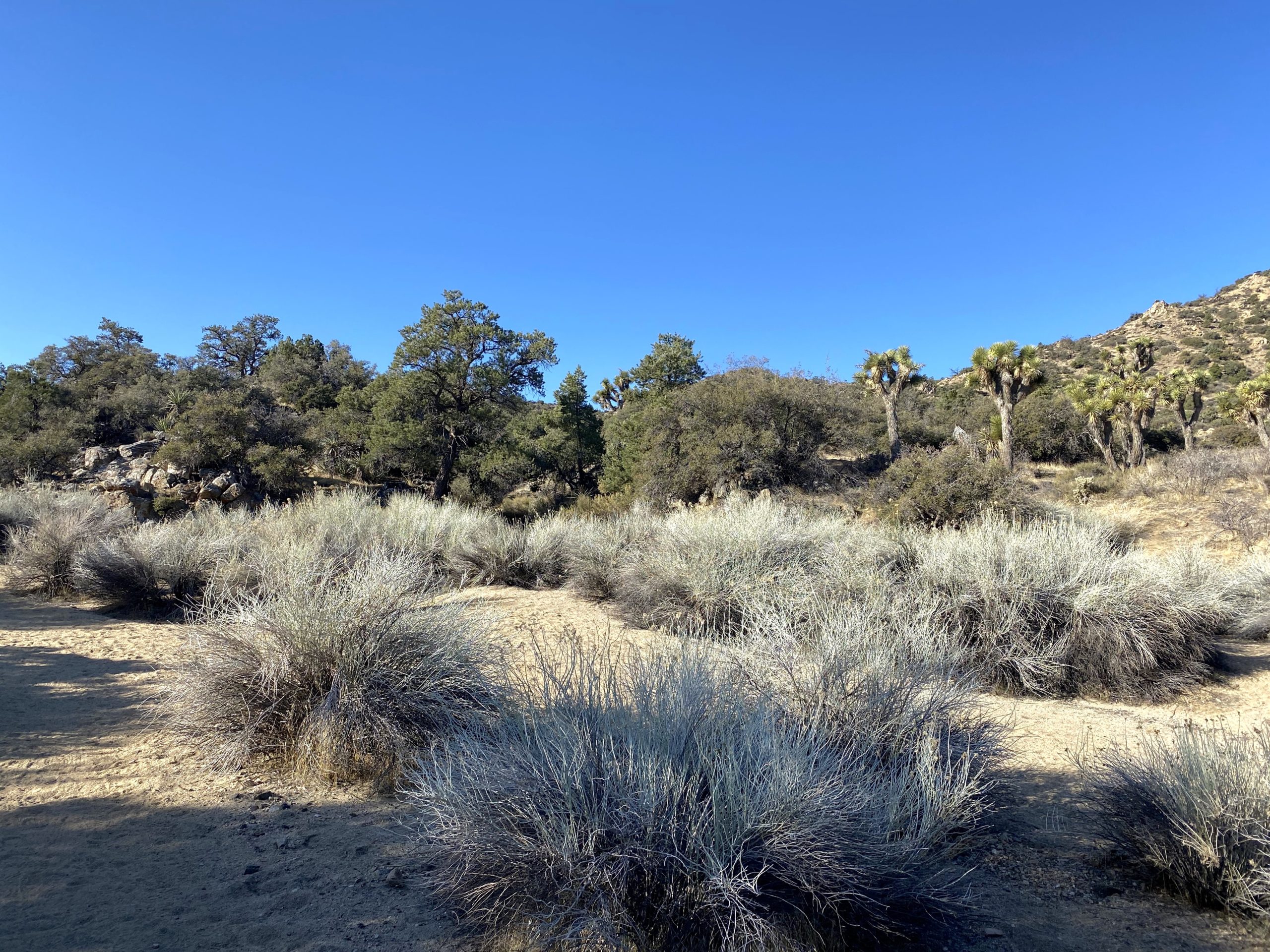
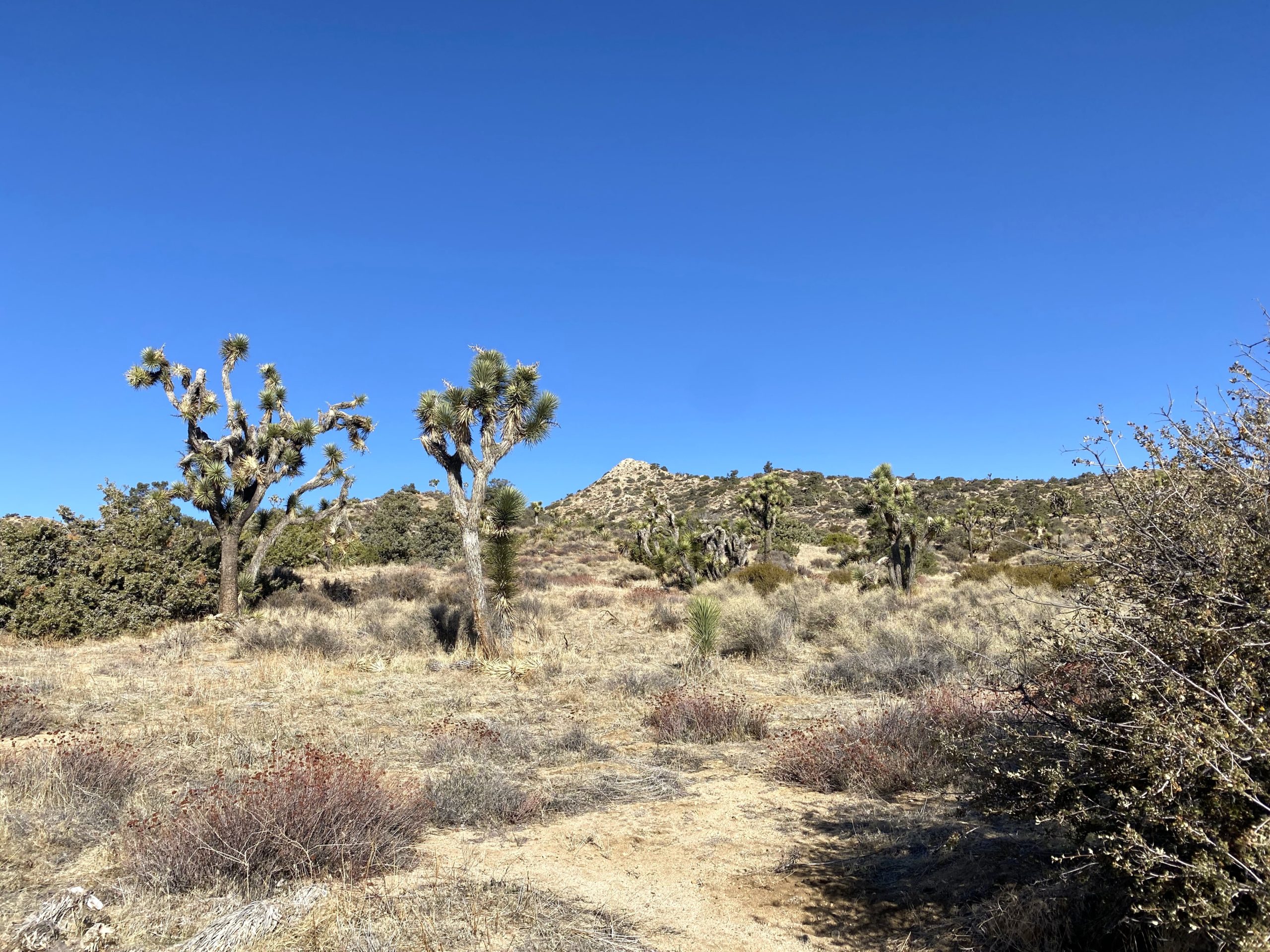
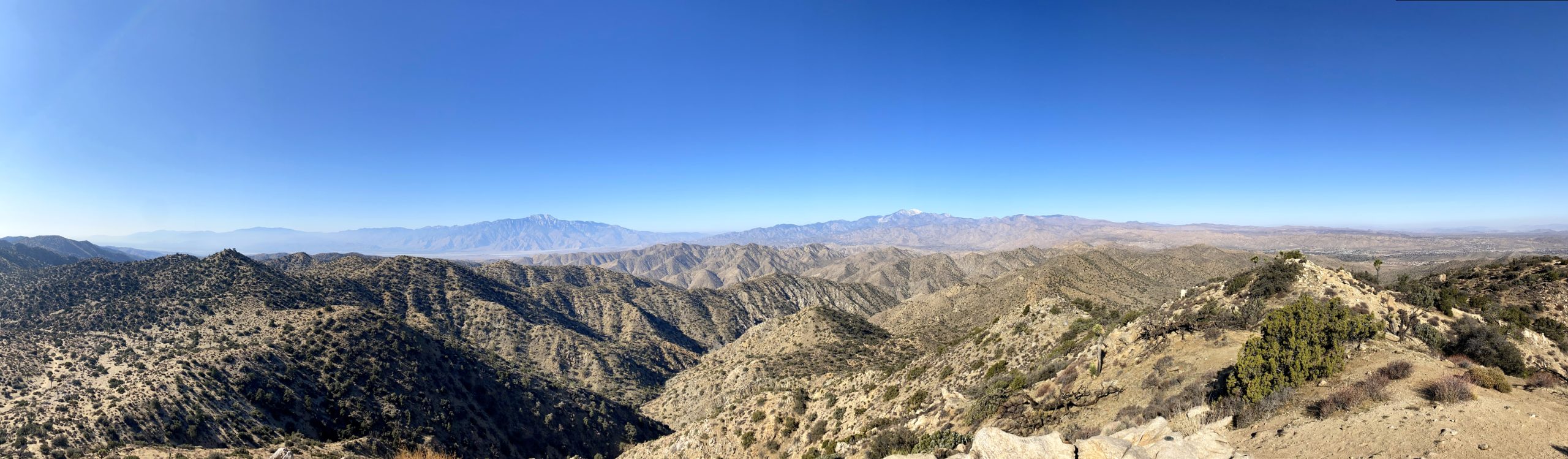
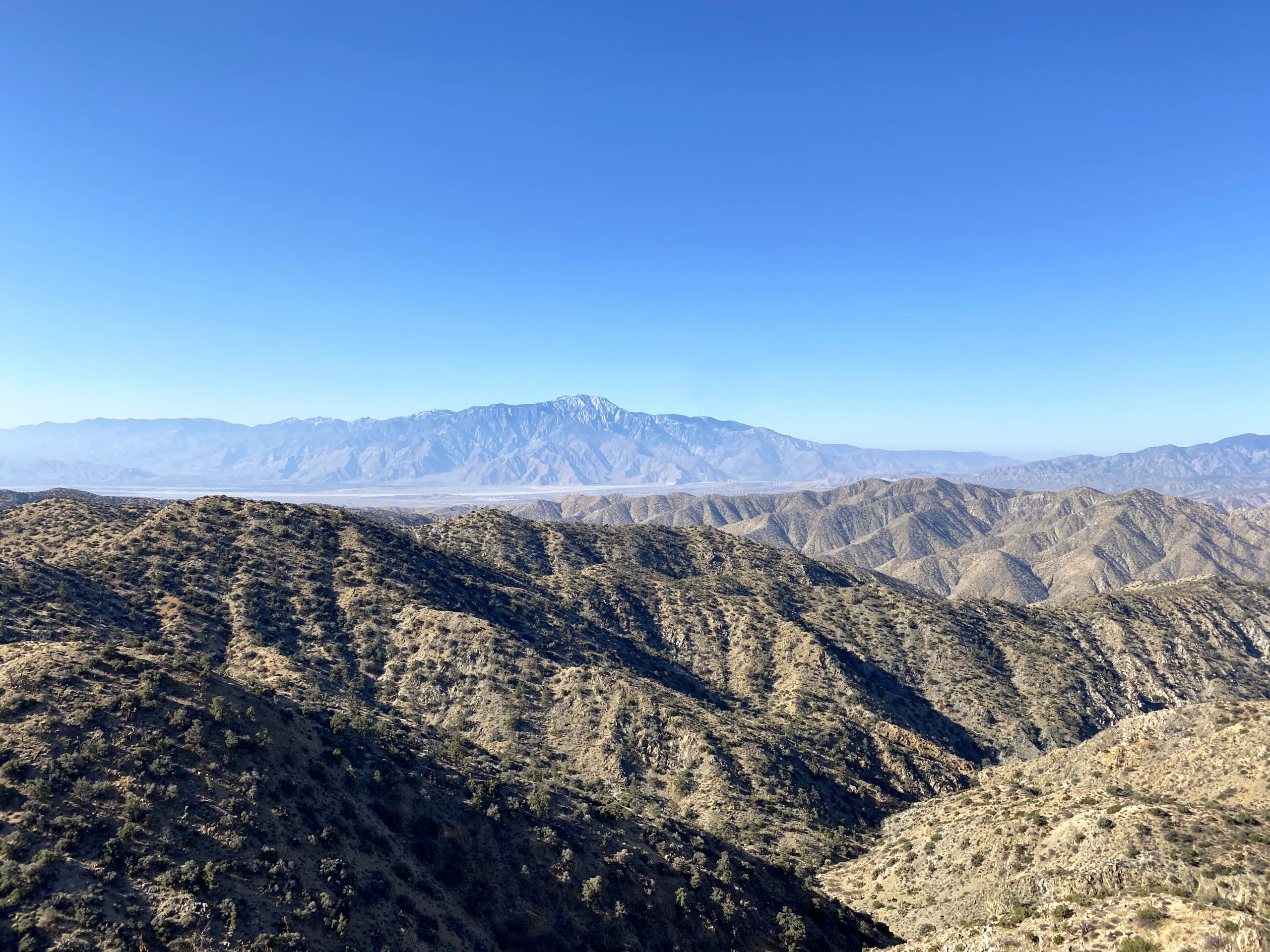
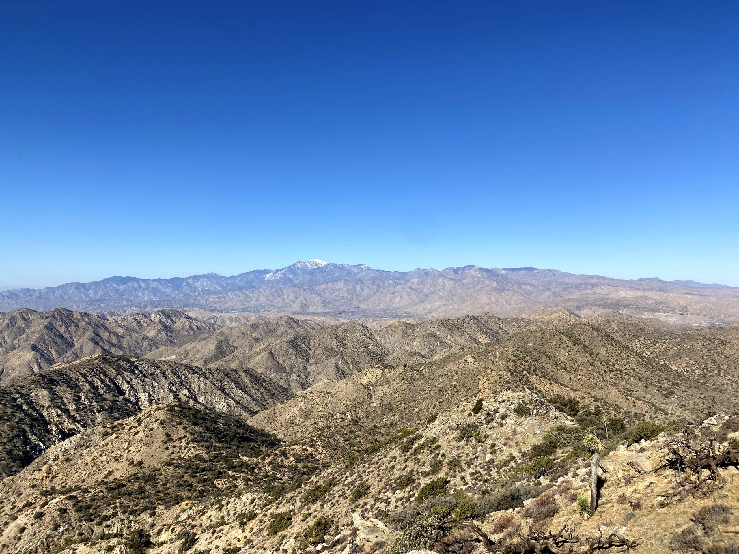
I woke around 6, before the sunrise. As I packed up, I kept an eye out toward the east to capture the first rays of the rising sun. After a quick breakfast of oatmeal and a cup of coffee, I was ready to head out. While yesterday was fairly easy, today was even easier as it was almost all downhill. I spent more time reflecting on my sister, letting this journey be a part of my grieving and healing process. Some formal events were planned, but I needed time for myself. I picked up my remaining bottle and kept on cruising. I again made a bio-break at Belle Campground and dumped my trash. I passed a few folks starting their journey as I drew nearer to the end of mine. Once back at the camp, I was happy to have hiked the entire trail, and while not all in one go, it was still a continuous footpath. After a stop at the Visitor Center for some stickers and a patch, I enjoyed a good burger and a well-earned beer in Joshua Tree. As for the shoes, they worked pretty well, although I did develop one blister. I suspect it might be my pace again. For both legs of the hike, I held just over 21-minute miles, which is really fast. I think if I just went slower, my feet would be fine. The final stats were 23.3 miles in 9:27 and 1,700 feet of gain.


I am an avid peak bagger, sometimes backpacker, and former sea kayaker living in San Diego. In 2019, I became the third person to complete the San Diego 100 Peak Challenge. Not stopping with that accomplishment, I set my sights on the harder San Diego Sierra Club 100 Peak list, which I completed in 2021. In addition, I have conquered several Six-Pack of Peaks challenges (SoCal, San Diego, Central Coast, and Arizona-Winter). Beyond attempting the San Diego Sierra Club 100 Peak list a second time, I am looking forward to exploring new summits and new adventures across the southwest.