Mule Hill

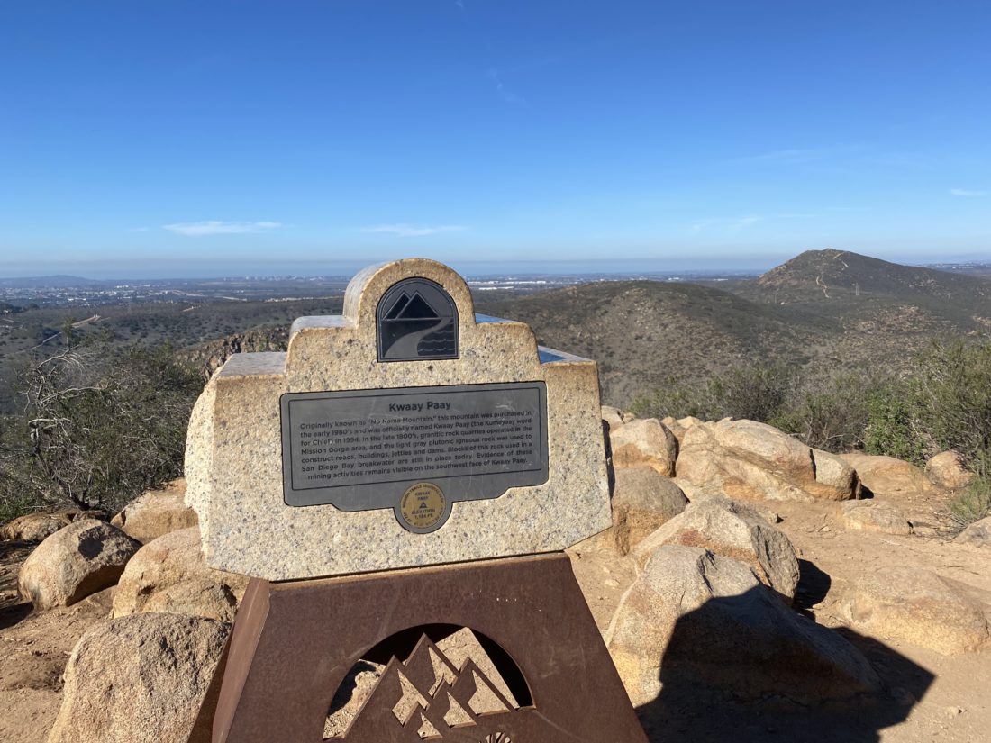
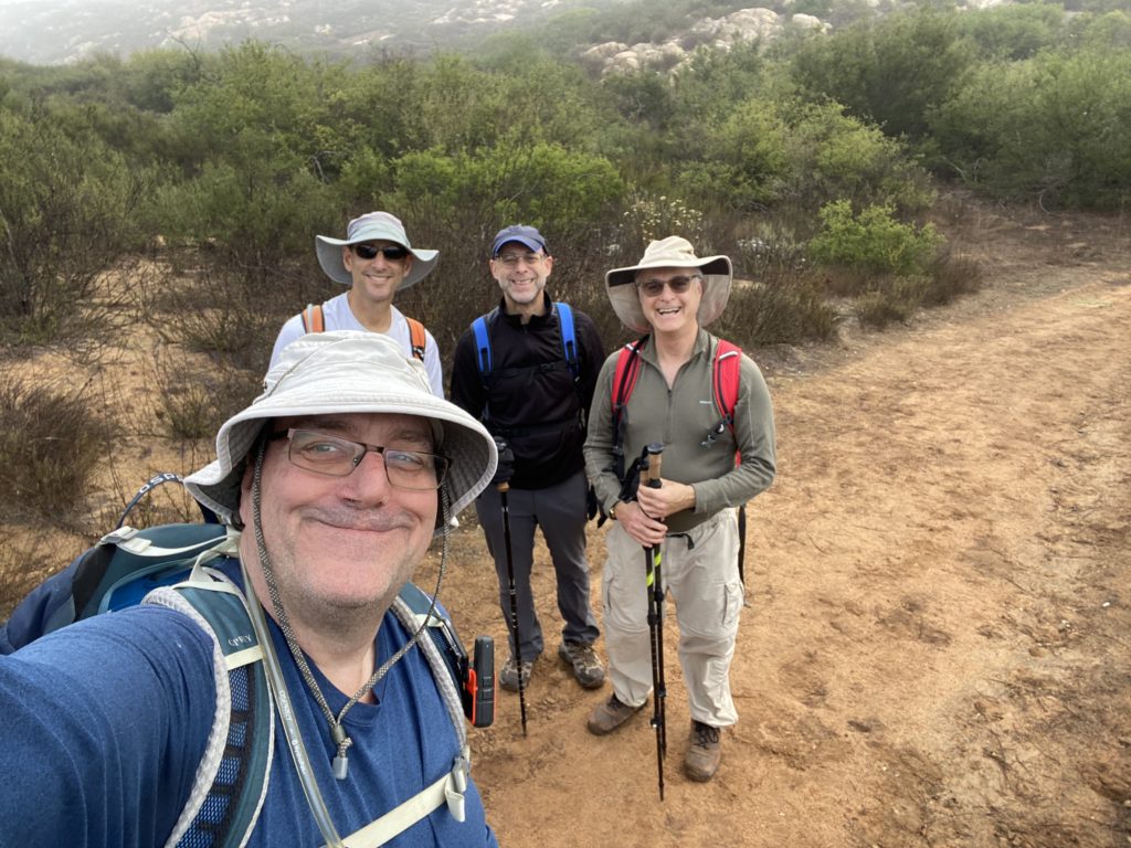
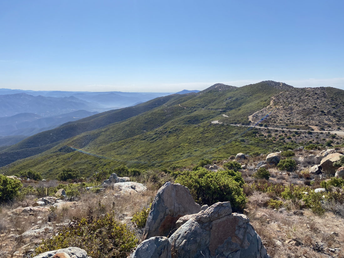
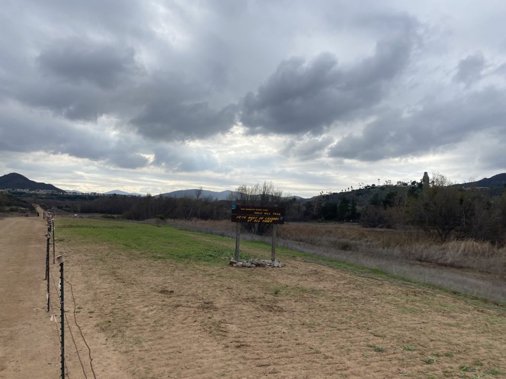
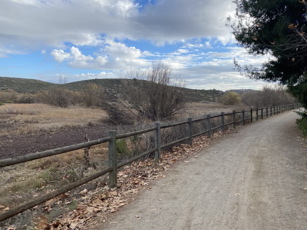
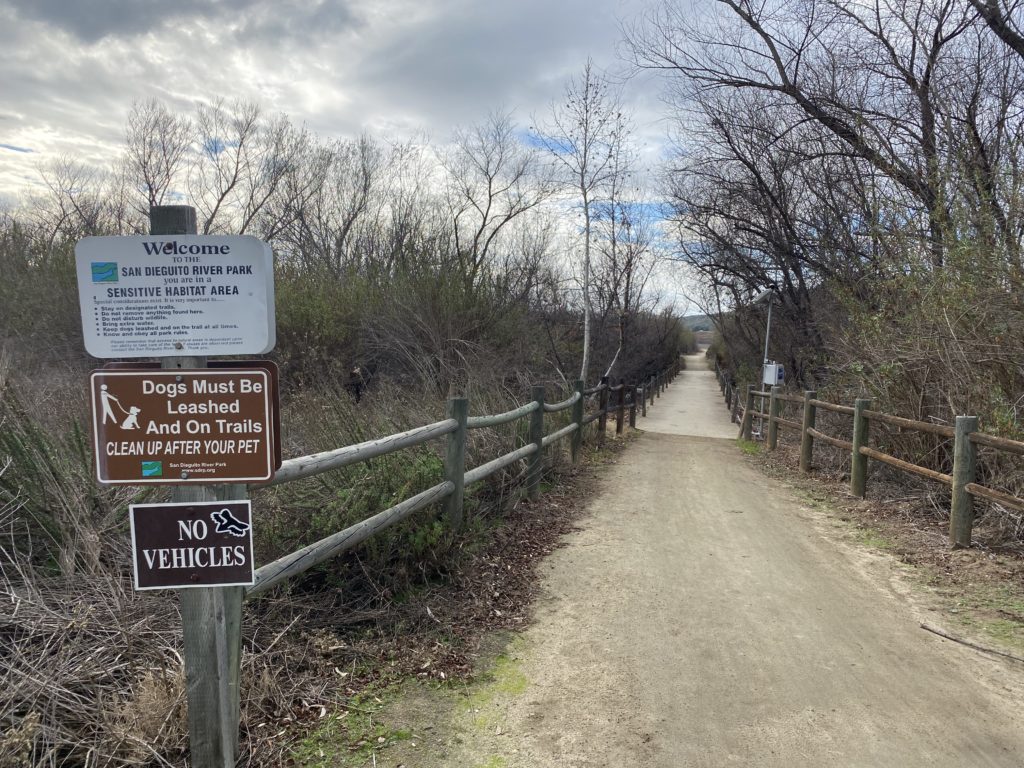
We tentatively hoped to squeeze in Buckman Benchmark after crossing Otay Mountain and Tecate Peak off Susie Kara’s San Diego Sierra Club 100 x2 attempt. But we did not feel that we had the time given Susie needed to get back in town to teach yoga in the late afternoon. After dropping her off back at her place and grabbing lunch, I was itching to get some actual hiking in. The San Diego Sierra Club-North County group had kicked off a Wilderness Basics Challenge, so I decided to explore one of the hikes on that list. One that caught my eye was the Mule Hill Trail. This relatively flat-out and back hike was just about 15 minutes from my house. I parked in the large lot near the Sikes Adobe, grabbed my gear, and set off. 

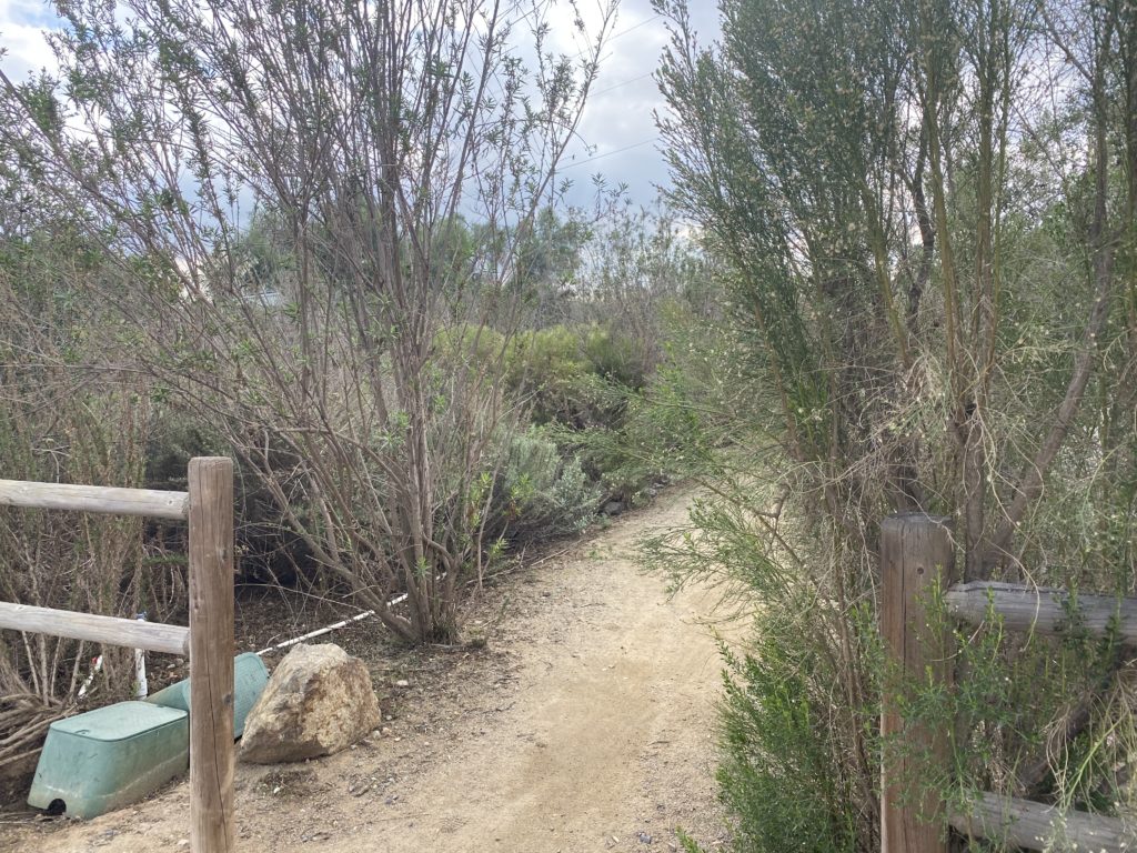
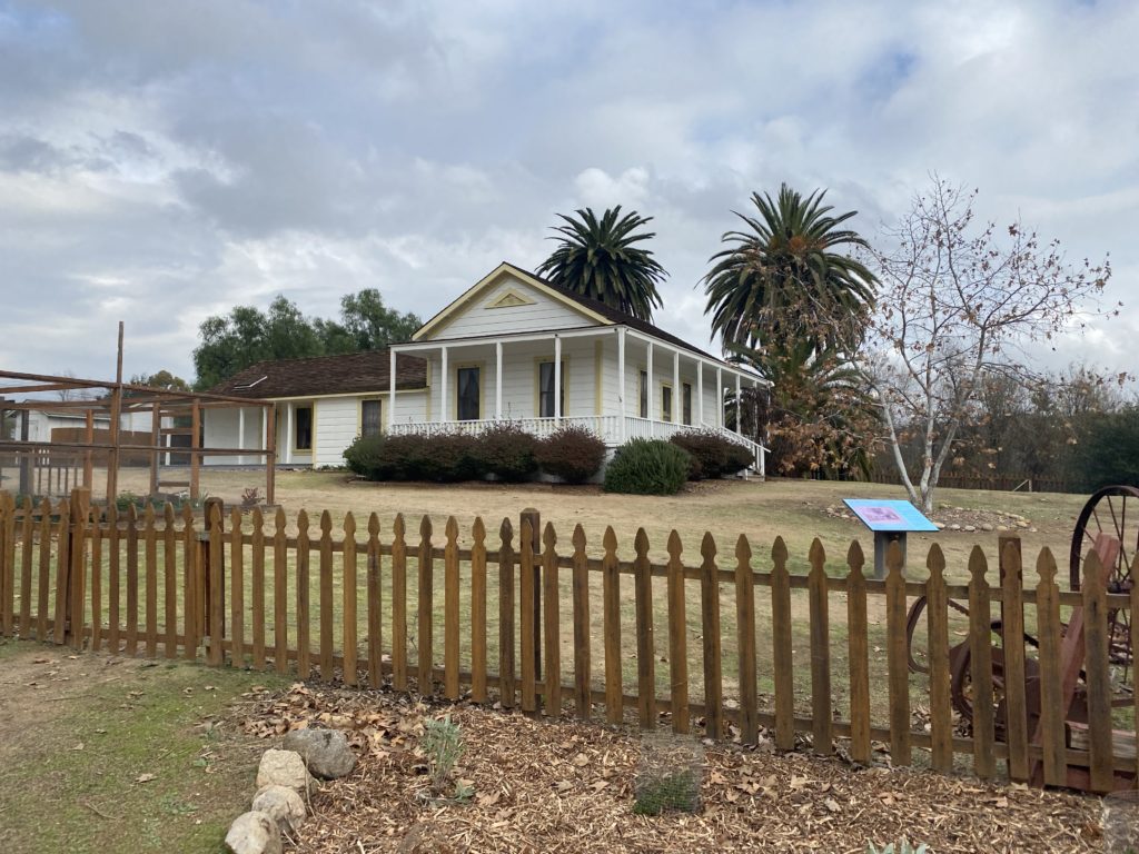
After passing by the restored farmhouse, the trail arches around the shoreline of Lake Hodges before heading mostly east. This trail passes by the site of one of the bloodiest battles in the Mexican War. A number of interpretive signs along the trail tell the story of a group of US soldiers surrounded by enemies after the Battle of San Pasqual. This is where US troops (including Kit Carson) retreated after the Battle of San Pasqual a few miles away. The US troops held the hill for four days awaiting reinforcements, while surrounded by enemies. They had to resort to eating their mules, and thus the small promontory earned its name. The US troops had just about given up all hope of rescue and were about to try and fight their way out when a group of Marines came to their aid.

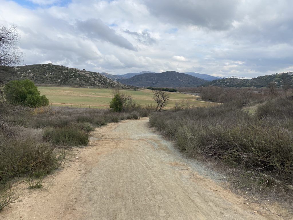
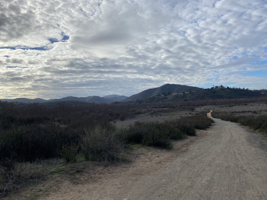
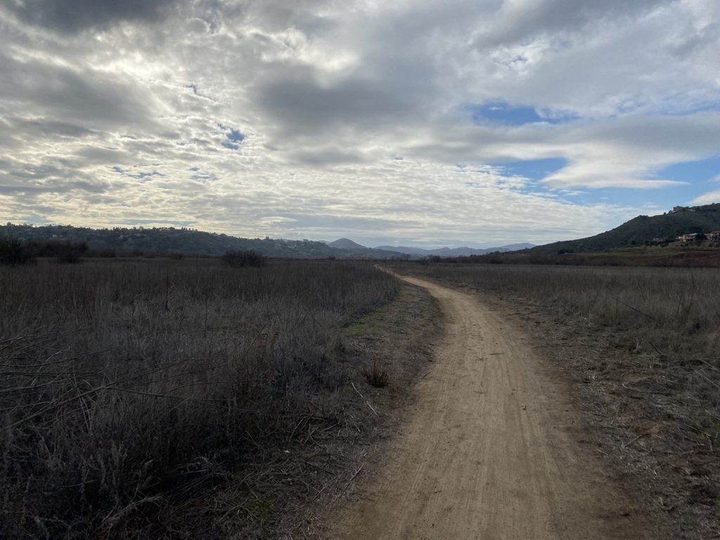
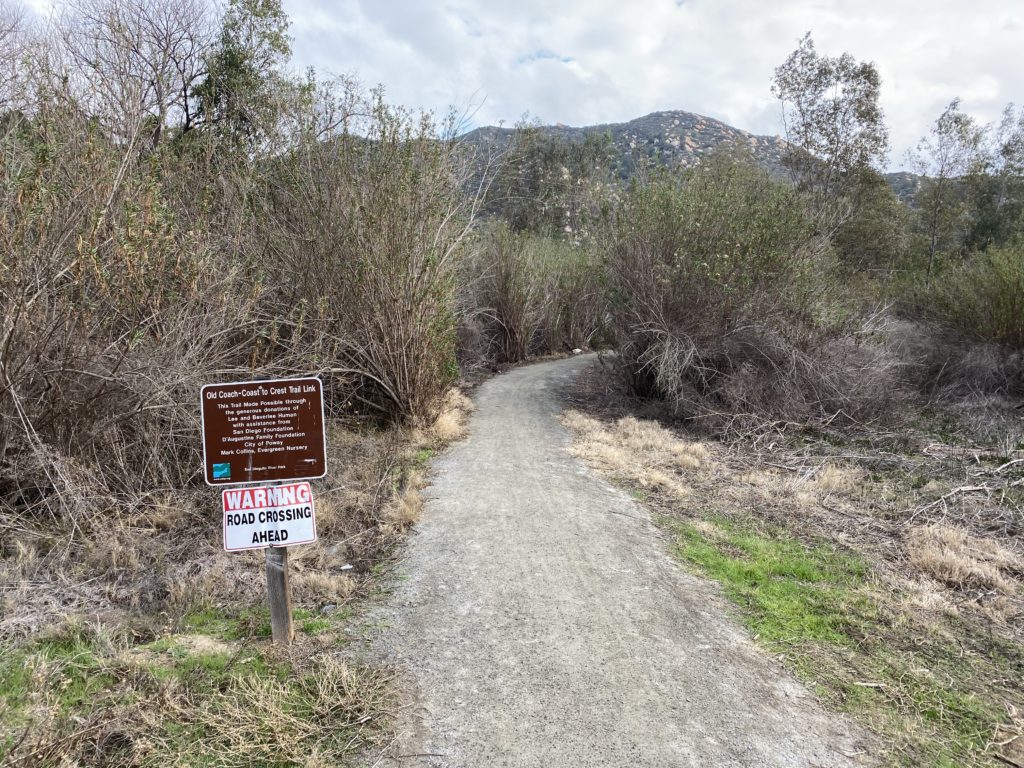
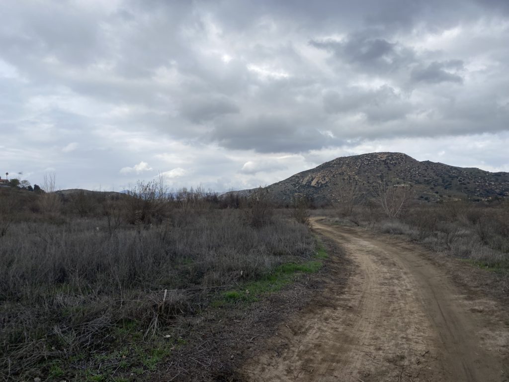
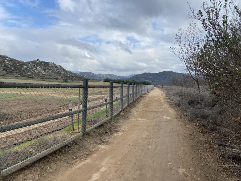
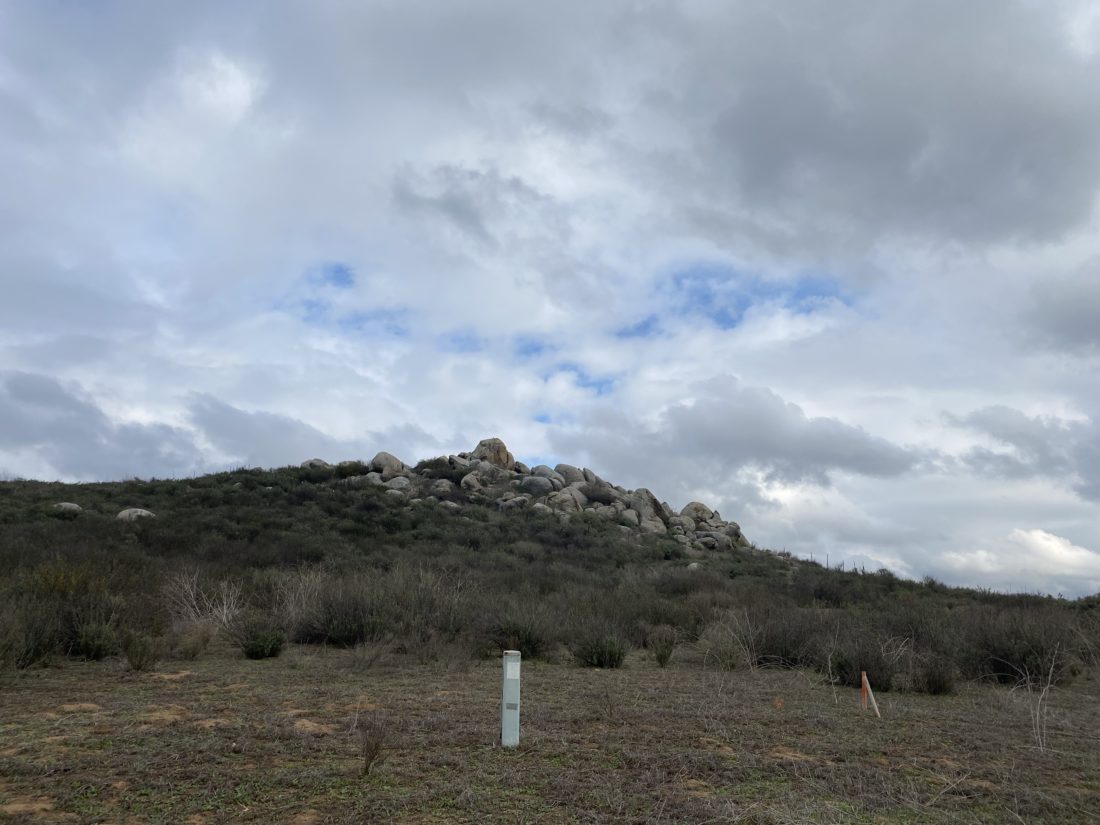
After cresting a small rise, the fields of the San Pasqual Agricultural Preserve spread out before me. The trail continued straight along the edge of the fields for over a mile. Around 3.2 miles I came to a “Y” junction. To the right was a connector trail leading to the Old Coach Trail on the opposite side of Highland Valley Road. The Coast to Crest Trail continued to the left, heading to Raptor Ridge. I took my required photo for the challenge and retraced my route. There were a few folks out enjoying the trail, but for most of the hike, I was able to enjoy the solitude. I am guessing that this trail will be on next year’s Coast to Crest Challenge.


Buy Me a Coffee at ko-fi.com

I am an avid peak bagger, sometimes backpacker, and former sea kayaker living in San Diego. In 2019, I became the third person to complete the San Diego 100 Peak Challenge. Not stopping with that accomplishment, I set my sights on the harder San Diego Sierra Club 100 Peak list, which I completed in 2021. In addition, I have conquered several Six-Pack of Peaks challenges (SoCal, San Diego, Central Coast, and Arizona-Winter). Beyond attempting the San Diego Sierra Club 100 Peak list a second time, I am looking forward to exploring new summits and new adventures across the southwest. 

Kwaay Paay

Another peak I needed some more photos for my trail guide on SoCal Hiker was Kwaay Paay. Kwaay Paay, meaning “chief” in the language of the Kumeyaay people who called the area home for thousands of years, stands alone on the southeast side of Mission Gorge. This is a short 2.8-mile hike, so I decided to do it over a long lunch break. Ted Markus was off, so he joined me in doing this peak.

We cruised up the trail to the peak, encountering a few hikers here and there. Ted did comment that he wishes he brought his poles (hum, might have mentioned that in the trail guide…).

The summit was nice, I had not been here since the new summit marker was installed. This was one of the reasons I needed to do this peak again. We hustled back down, grabbed lunch at Mi Ranchito in PQ, and enjoyed their fine Mexican food in my backyard.


Buy Me a Coffee at ko-fi.com

I am an avid peak bagger, sometimes backpacker, and former sea kayaker living in San Diego. In 2019, I became the third person to complete the San Diego 100 Peak Challenge. Not stopping with that accomplishment, I set my sights on the harder San Diego Sierra Club 100 Peak list, which I completed in 2021. In addition, I have conquered several Six-Pack of Peaks challenges (SoCal, San Diego, Central Coast, and Arizona-Winter). Beyond attempting the San Diego Sierra Club 100 Peak list a second time, I am looking forward to exploring new summits and new adventures across the southwest. 

Monserate Mountain

I needed to return to Monserate Mountain to take some updated photographs for a trail guide I am writing from SoCal Hiker. Since I had the day from work, I thought would make the short drive up and snap a few photos that I needed.

After taking a few versions of the new sign, I started up the trail. Since a portion of the trail is closed until December 2022, I was hoping to photograph the closure signage at the junction for inclusion in the guide. Plus, I need some ‘trail’ shots to reflect what the trail looks like. My two previous times up this peak were a bit light on photos.

At the first junction, there was no signage, but I was really enjoying the hike, so I kept going. Finally, at the final junction, there was a closure warning. I continued onto the summit and snapped more photos. San Gorgonio and San Jacinto’s snowcapped summits stood off to the north.

I certainly had a much better set of photos for the guide, so I headed back down to the car. All in all, a nice hike of 3.1 miles in 1:34 with an elevation gain of 1,148 feet.


Buy Me a Coffee at ko-fi.com

I am an avid peak bagger, sometimes backpacker, and former sea kayaker living in San Diego. In 2019, I became the third person to complete the San Diego 100 Peak Challenge. Not stopping with that accomplishment, I set my sights on the harder San Diego Sierra Club 100 Peak list, which I completed in 2021. In addition, I have conquered several Six-Pack of Peaks challenges (SoCal, San Diego, Central Coast, and Arizona-Winter). Beyond attempting the San Diego Sierra Club 100 Peak list a second time, I am looking forward to exploring new summits and new adventures across the southwest. 

Morena Butte

I wanted to hike out to Diablo Benchmark, but since we could not head out until 11, it was going to be too warm to attempt it. Instead, I looked at some of the peaks Ted needed to complete on the San Diego Sierra Club 100 peak list. But I really did not want to go bushwhacking up Middle Peak, Manza Benchmark or Sheephead Mountain. That left Morena Butte as our best option for a nice afternoon hike. We stopped at the Ranger station and got our parking permit ($3). We parked next to the trailhead and set off down the service road to the dam. A light breeze kept the temperatures pleasant. 

The road worked its way around the edge of Lake Morena, until after about a mile, we turned off onto the trail that would have us connect with the PCT. The Butte loomed over us to the west. We cruised along the PCT for a bit until we reached the turn off to the use trail that would lead us to the summit.

The trail would now weave its way upward through the manazatia. We continued working our way toward the north butte. Once on the slabs near the summit, a nice collection of cairns pointed the way. There is no benchmark on this peak, and we did not locate a register. I found a nice spot to enjoy a late lunch. We debated working our way over to the west butte, but Ted had already run 13.1 miles in the morning, so he was ok with skipping it. Plus, I was feeling a little bit from my ascent of San Ysidro the day before. 

We made our way back down without incident, opting to take the trail on the west side of the small valley this time. After tossing our gear back in the car, we stopped at the market just outside the county park and treated ourselves to some nice milkshakes. I logged the hike at 6.5 miles in 3:17 and 1,100 feet of gain. 


Buy Me a Coffee at ko-fi.com

I am an avid peak bagger, sometimes backpacker, and former sea kayaker living in San Diego. In 2019, I became the third person to complete the San Diego 100 Peak Challenge. Not stopping with that accomplishment, I set my sights on the harder San Diego Sierra Club 100 Peak list, which I completed in 2021. In addition, I have conquered several Six-Pack of Peaks challenges (SoCal, San Diego, Central Coast, and Arizona-Winter). Beyond attempting the San Diego Sierra Club 100 Peak list a second time, I am looking forward to exploring new summits and new adventures across the southwest. 

Old Survey Road 97

Just around the corner from the Ramona Grasslands, is the Old Survey Road. Old Survey Road 97 was once the main thoroughfare connecting Ramona and Escondido. This trail is only opened for about 3 months out of the year by the county. You need a free permit to do this hike and only 50 hikers per day are allowed on the trail. I convinced a couple of other friends to join me on this adventure.

The trail is not too challenging, although it has some elevation gain toward the turn-around point. Unlike the last time I did this hike, we had a nice cloud cover to keep us nice and cool. We got to the trailhead just before 8 am. Once the ranger was set up, we checked in and set off down the trail. 

At the trail’s end, some grabbed a snack before making the climb back up. Partway up, I stopped to see how they were fairing and spotted a nice rainbow to the west. One of the primary features of this hike is passing the nesting area for a pair of Golden Eagles. Unfortunately, their nests are a fair distance away. Some folks had come to this spot with some seriously long lenses to try to capture them. One photographer shared one photo he grabbed earlier in the day. Once back at the car, we headed off to have some lunch at Mi Ranchito. 


Buy Me a Coffee at ko-fi.com

I am an avid peak bagger, sometimes backpacker, and former sea kayaker living in San Diego. In 2019, I became the third person to complete the San Diego 100 Peak Challenge. Not stopping with that accomplishment, I set my sights on the harder San Diego Sierra Club 100 Peak list, which I completed in 2021. In addition, I have conquered several Six-Pack of Peaks challenges (SoCal, San Diego, Central Coast, and Arizona-Winter). Beyond attempting the San Diego Sierra Club 100 Peak list a second time, I am looking forward to exploring new summits and new adventures across the southwest. 

Big Black Mountain

After summiting The Thimble and bailing on San Ysidro, we decided to drive up Big Black Mountain just north of Ramona in Pauma Valley. Susie had hiked this long exposed road hike back in 2017 and I drove it twice before. So we hung a right once we got back into town and set off up the dirt road. 

The road is rough and rocky, but the Subaru handled it with ease. Passed a couple of cars working their way back down from the summit. Finally, we reached the end of the road and parked. A nice grove of pines stood just to the south. We grabbed our gear, even though the summit was a short 1/4 mile walk. 

Once at the summit, we again took in the views. The day was getting long, so we did not stay too long. Plus we had the long drive back down. Another car had joined us at the summit and was having a picnic in the shade. Three cars passed us as we drove down the road. With that, Susie was two steps closer to completing the list and we all had a great day.


Buy Me a Coffee at ko-fi.com

I am an avid peak bagger, sometimes backpacker, and former sea kayaker living in San Diego. In 2019, I became the third person to complete the San Diego 100 Peak Challenge. Not stopping with that accomplishment, I set my sights on the harder San Diego Sierra Club 100 Peak list, which I completed in 2021. In addition, I have conquered several Six-Pack of Peaks challenges (SoCal, San Diego, Central Coast, and Arizona-Winter). Beyond attempting the San Diego Sierra Club 100 Peak list a second time, I am looking forward to exploring new summits and new adventures across the southwest. 

McGinty Mountain

Since it was my daughter’s last weekend before returning back to her college campus, I opted to stay local rather than continue to work on the SoCal Six Pack of Peaks. Since Ted was free, we decided to go hike one of his remaining Sierra Club 100 peaks. He has about 7 peaks left that are not out in Anza-Borrego, so it made the choice a bit easier. We settled on McGinty Mountain, a nice 4.5 mile hike out near Jamul. We parked in the lot, and there were three other cars already there.

We set off along the trail, enjoying the shade while we had it. Once we left the shade, we could feel the heat as we climbed up the middle section of this trail. Just about when the mine comes into view, we again had some shade. We took a short break here to recover a bit before pushing on to the summit.

Once at the summit, we took in the views. A nice marine layer was spread out before us to the west. We did not stay long as it was starting to really heat up. We passed three other hikers making their way up. Once back at the car, the temperature were already 82°F at 9:30 am.


Buy Me a Coffee at ko-fi.com

I am an avid peak bagger, sometimes backpacker, and former sea kayaker living in San Diego. In 2019, I became the third person to complete the San Diego 100 Peak Challenge. Not stopping with that accomplishment, I set my sights on the harder San Diego Sierra Club 100 Peak list, which I completed in 2021. In addition, I have conquered several Six-Pack of Peaks challenges (SoCal, San Diego, Central Coast, and Arizona-Winter). Beyond attempting the San Diego Sierra Club 100 Peak list a second time, I am looking forward to exploring new summits and new adventures across the southwest. 

Tecate Peak

After having driven up Otay Mountain, we drove over toward Tecate Peak. Once at the border, we drove along the wall, passing a Border Patrol truck. We chatted with him for a bit letting him know our plans to drive up the summit. We found our way onto the correct road and began our climb. This road is rougher than the road up Otay. We parked at the summit and took our photos.


Buy Me a Coffee at ko-fi.com

I am an avid peak bagger, sometimes backpacker, and former sea kayaker living in San Diego. In 2019, I became the third person to complete the San Diego 100 Peak Challenge. Not stopping with that accomplishment, I set my sights on the harder San Diego Sierra Club 100 Peak list, which I completed in 2021. In addition, I have conquered several Six-Pack of Peaks challenges (SoCal, San Diego, Central Coast, and Arizona-Winter). Beyond attempting the San Diego Sierra Club 100 Peak list a second time, I am looking forward to exploring new summits and new adventures across the southwest. 

Blue Sky to Lake Poway

The latest edition of the San Dieguito River Valley Conservancy’s Coast to Crest Challenge kicked off on July 1st, so I knew what much of holiday weekends plan were now. I decided that I would start the challenge off by hiking from Blue Sky Ecological Reserve, then up and around Lake Poway. This was going to be a nice 5.2-mile hike. I have not hiked Blue Sky in a long time, so I was looking forward to it. I pulled in about 8, and the lot was almost full, but I found a space. I applied my sunscreen, grabbed my gear, and set off.

I cruised along the wide trail for a bit until I came to the junction with the Creekside Trail. I was looking at my map and deciding if I want to take it. Two women ask for an opinion on the trail options. I told the Creekside trail would be better coming back, as it should have a touch more shade. I told them I was continuing on the main trail, then heading up to the Lake and around. We headed off together. I began chatting about the hike and the C2C challenge. When we reached the turn-off to Lake Poway, they asked if they could tag along. I welcomed the company. We started our ascent and I learned they were fairly new to hiking, so I began giving probably more information on hiking San Diego than they bargained for. I pointed out some various landmarks as we made our way to the lake. But more importantly, I showed them what poison oak looks like.

We cruised around its shoreline. I took my required selfie for the challenge near the southern end of the lake. The trail was busy but not crowded. We dropped back down from the lake onto the main trail. Soon we were back at the parking lot. I gave them some more suggestions for their next adventure and bid farewell. All told the hike was 5.27 miles and we did it in 1:59.


Buy Me a Coffee at ko-fi.com

I am an avid peak bagger, sometimes backpacker, and former sea kayaker living in San Diego. In 2019, I became the third person to complete the San Diego 100 Peak Challenge. Not stopping with that accomplishment, I set my sights on the harder San Diego Sierra Club 100 Peak list, which I completed in 2021. In addition, I have conquered several Six-Pack of Peaks challenges (SoCal, San Diego, Central Coast, and Arizona-Winter). Beyond attempting the San Diego Sierra Club 100 Peak list a second time, I am looking forward to exploring new summits and new adventures across the southwest. 

Otay Mountain

Rather than fight the traffic trying to summit one of remaining peaks on the Six Pack of Peaks list, decided to stay in town and knock off two peaks that are drivable: Otay Mountain and Tecate Peak. Saw one car, and it was not a mini-van on the way up Otay. Parked near the summit and strolled up the last 1/2 mile.

From there we drove down the east side, passing a single motorcycle. The road was in fantastic shape! Once back on the 94, we made the short drive to Tecate and the drive up to its summit.


Buy Me a Coffee at ko-fi.com

I am an avid peak bagger, sometimes backpacker, and former sea kayaker living in San Diego. In 2019, I became the third person to complete the San Diego 100 Peak Challenge. Not stopping with that accomplishment, I set my sights on the harder San Diego Sierra Club 100 Peak list, which I completed in 2021. In addition, I have conquered several Six-Pack of Peaks challenges (SoCal, San Diego, Central Coast, and Arizona-Winter). Beyond attempting the San Diego Sierra Club 100 Peak list a second time, I am looking forward to exploring new summits and new adventures across the southwest.