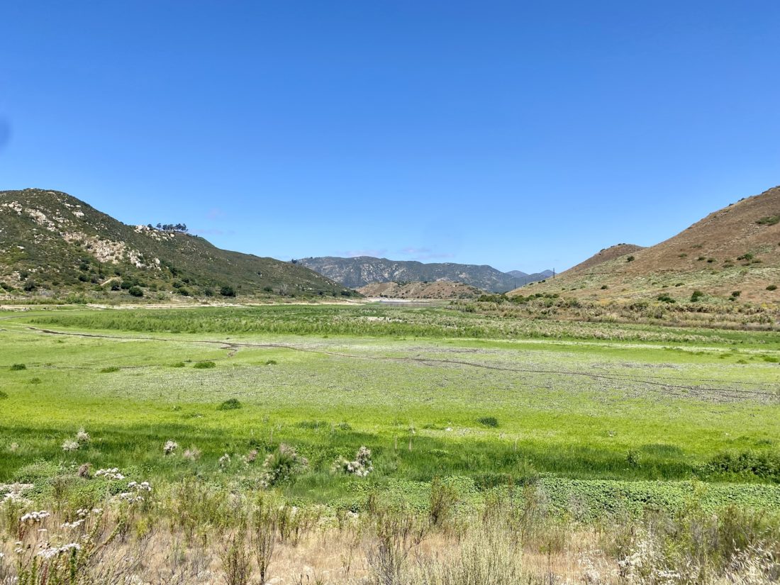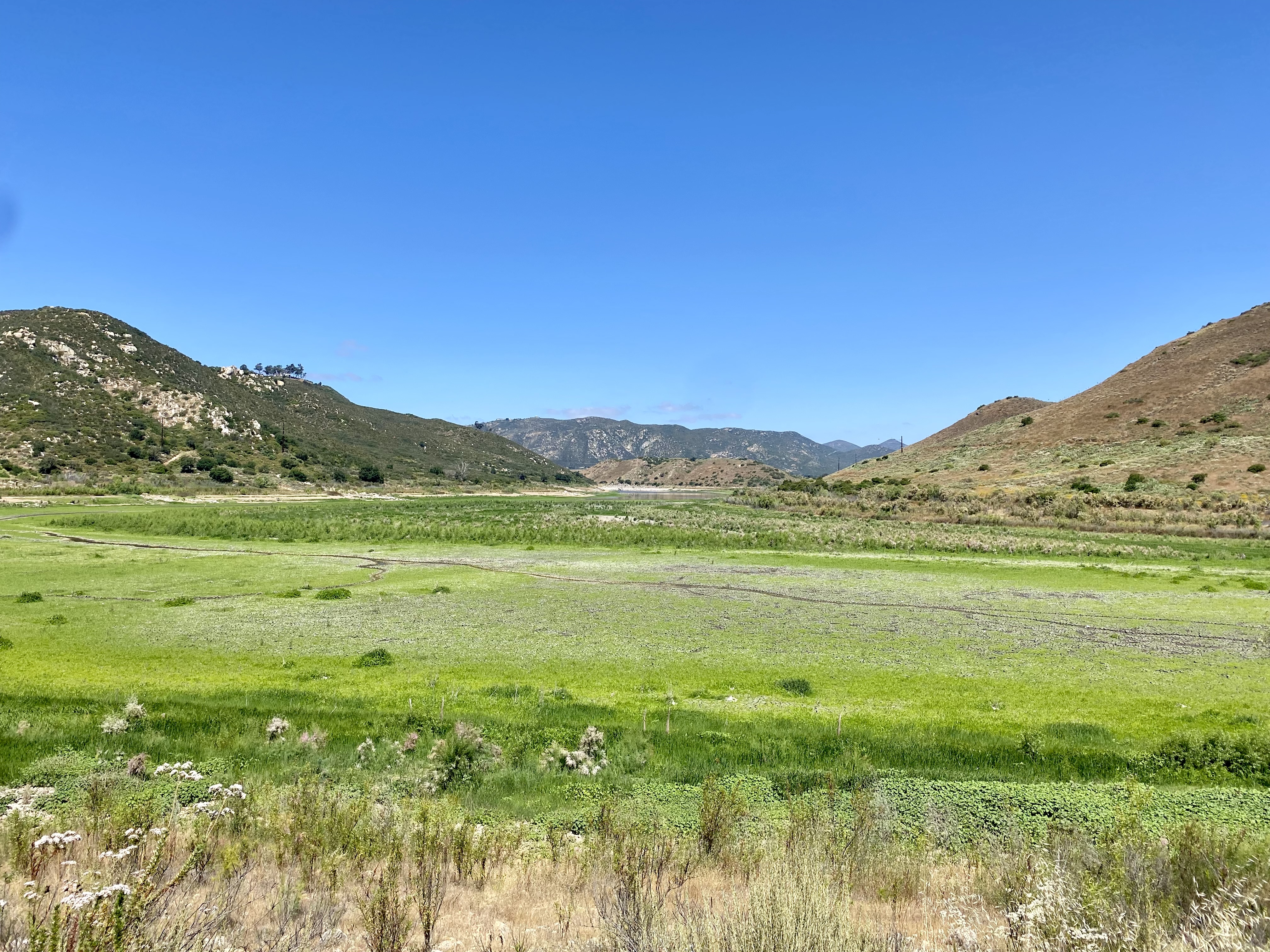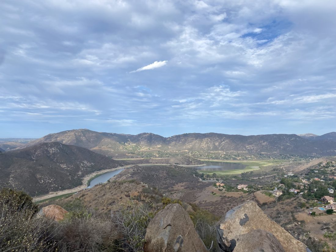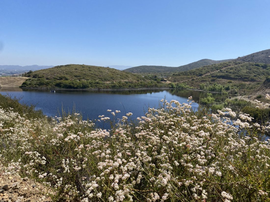
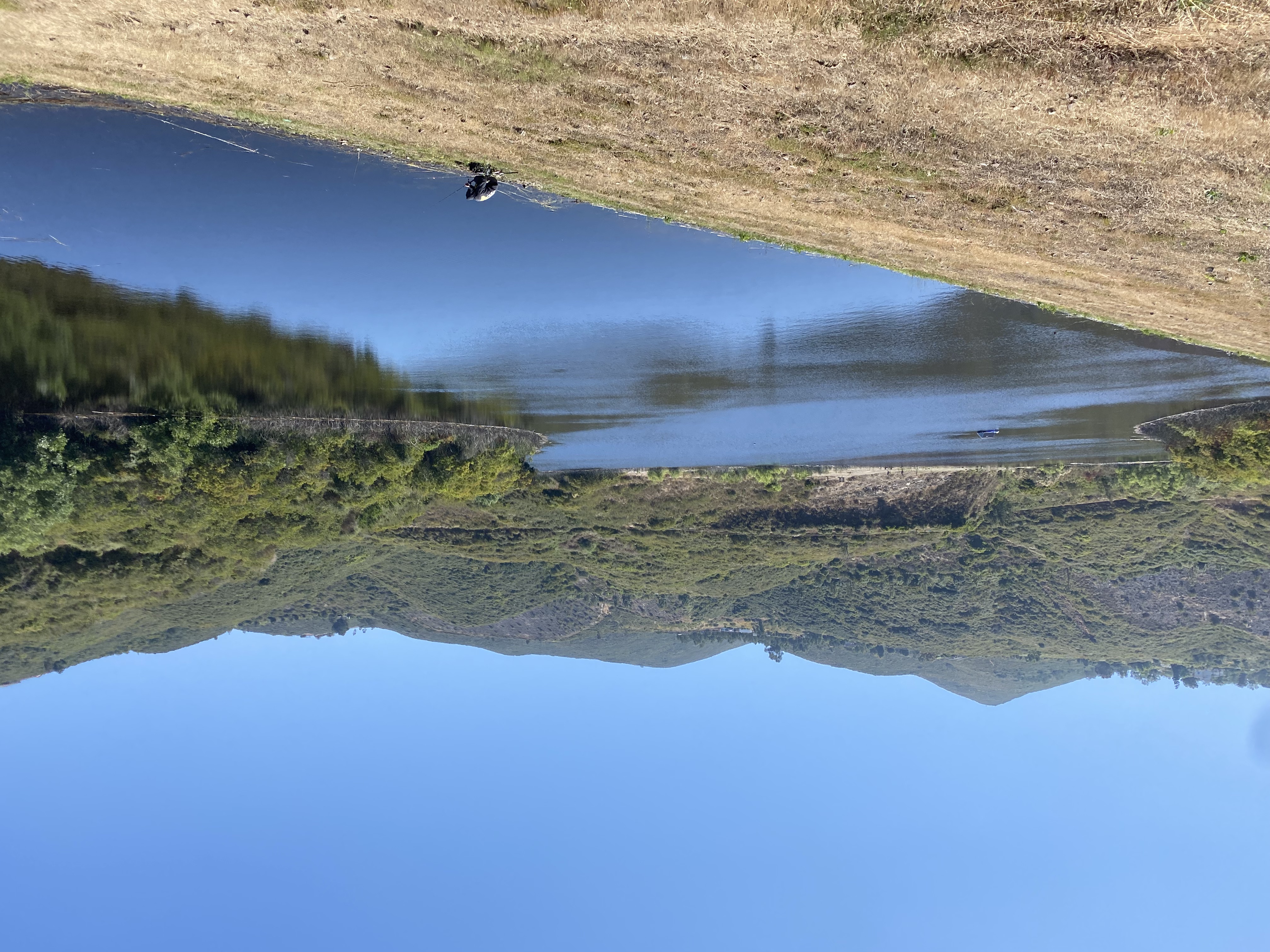
I wanted to get in a quick late morning hike to continue my rehab from my foot surgery. When I was looking at options for new places to explore, my friend Connie suggested that I might like doing the loop around South Lake in San Marcos. This trail just recently opened, so it was certainly one I wanted to explore.


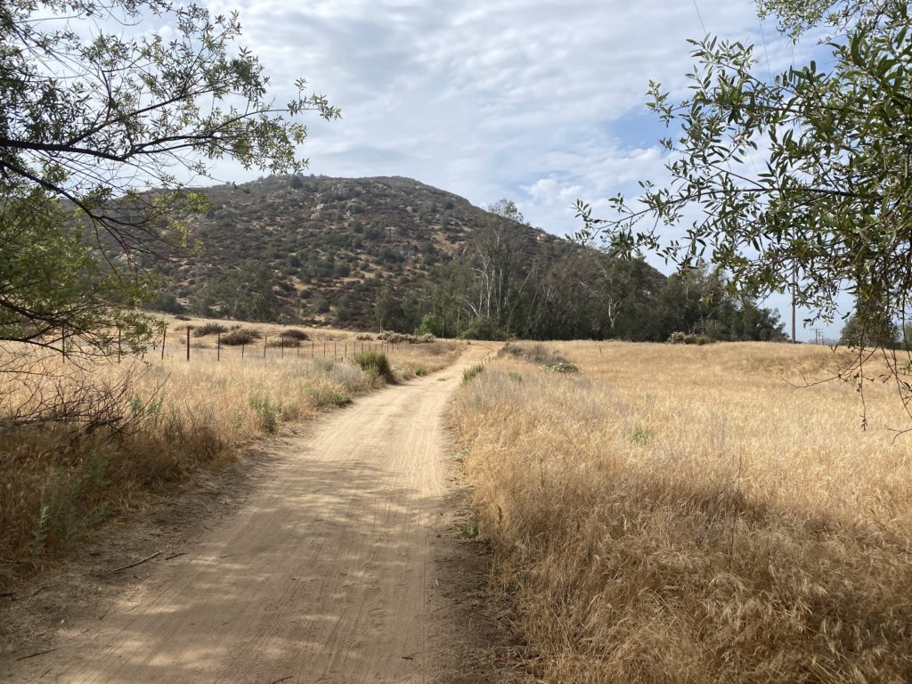
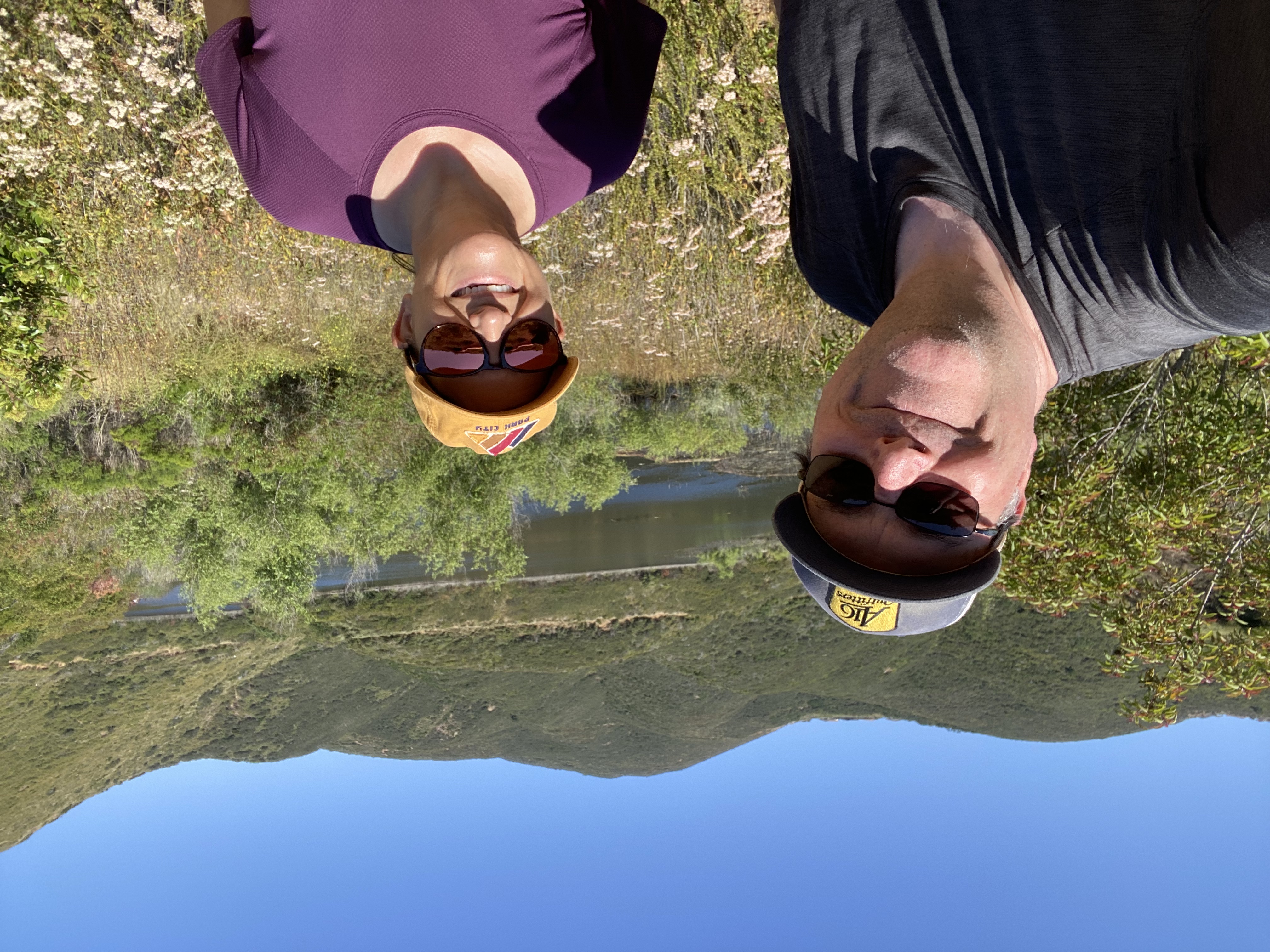
Connie and I met in the parking lot and quickly set off. One thing to note, there are no bathrooms at this trailhead, so plan accordingly. The access to the trail is from sunrise to sunset. After passing through the gate, we opted to hike the loop clockwise. The trail almost immediately splits into an upper path and a lower path. We took the high road…


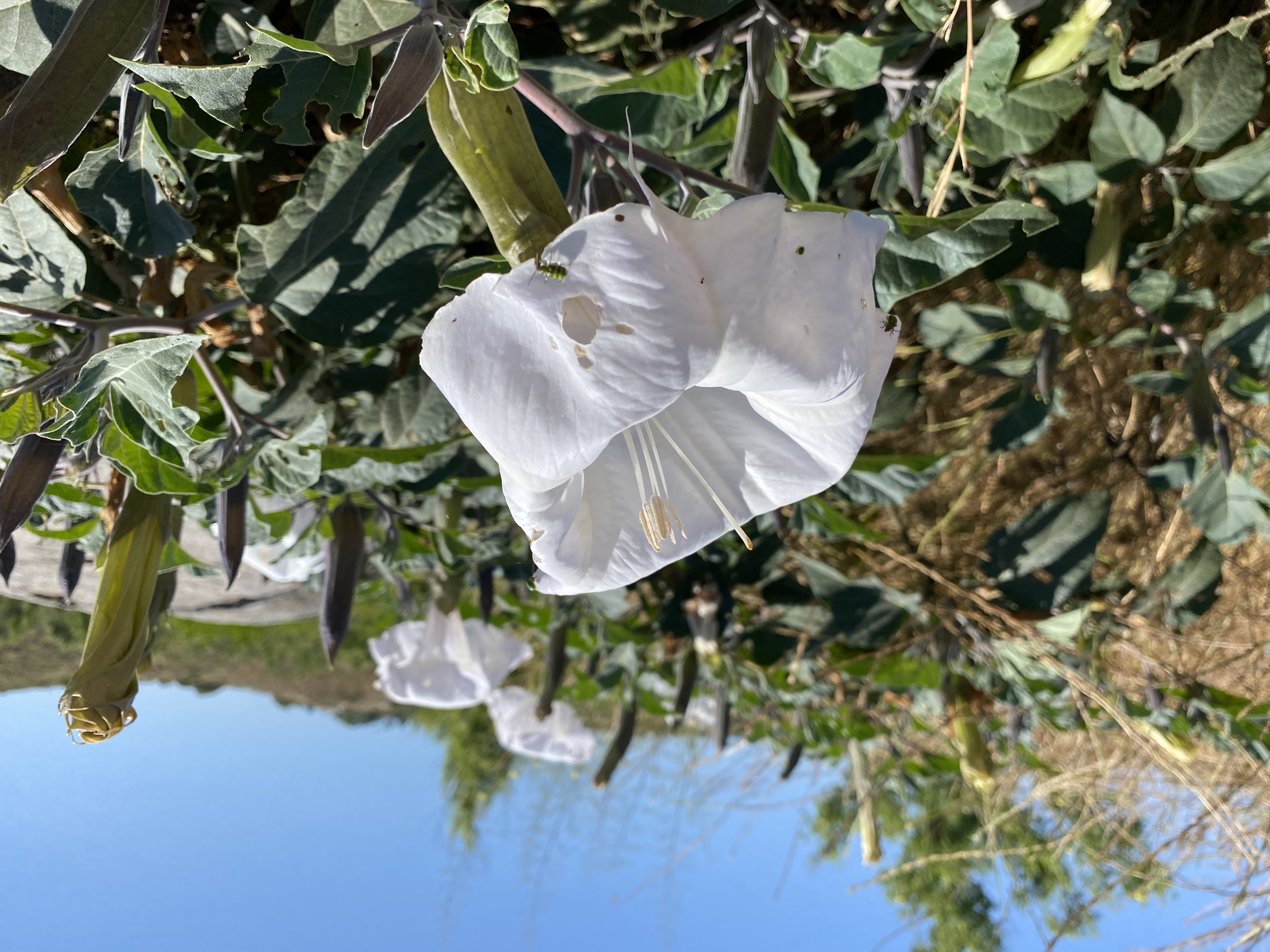
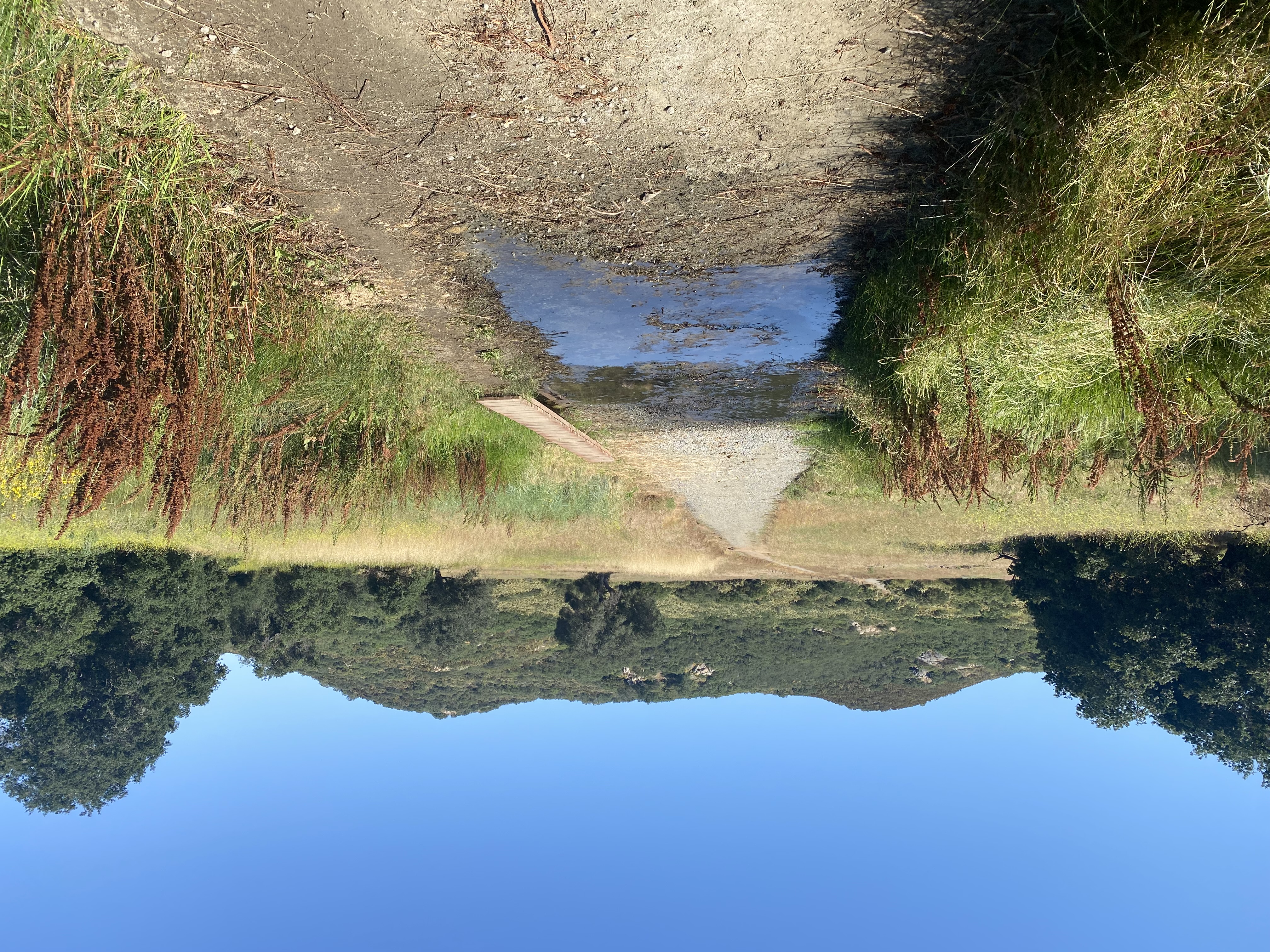
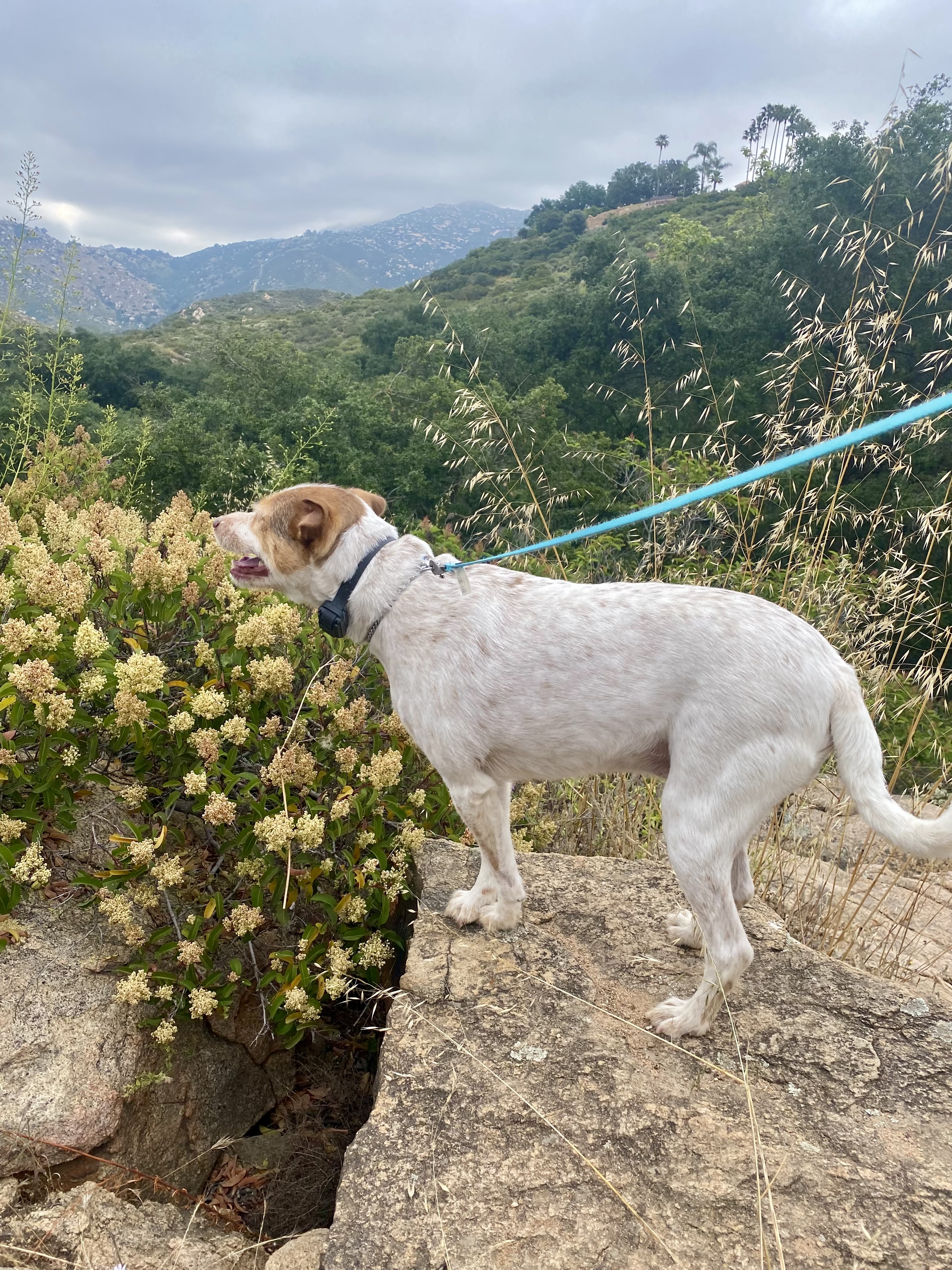
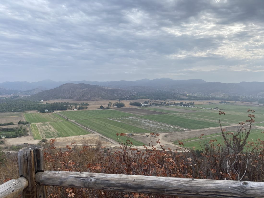
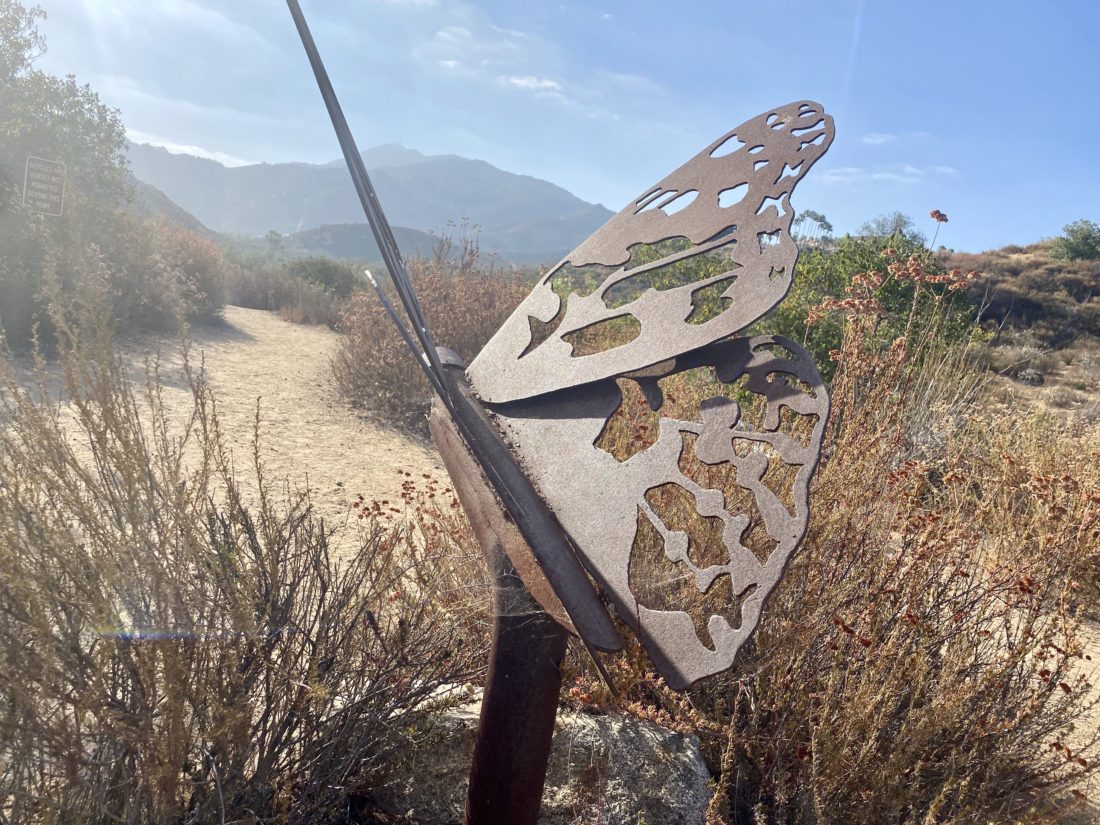
We cruised around the well-groomed trail, catching up with each other, and stopping to take a quick photo or two. After about a mile, we were back at our starting point. The foot was feeling good, so we decided to do another loop, and this time we took the lower trail. This took us past the various folks trying their luck fishing in the lake. The trail rejoined the upper trail after about 1/4 mile.

After our second loop, we decided to call it as we each had stuff to attend to and said goodbye. This was a nice little local trail.


I am an avid peak bagger, sometimes backpacker, and former sea kayaker living in San Diego. I am the co-author of Urban Trails: San Diego, coming in Spring 2026!
In 2019, I became the third person to complete the San Diego 100 Peak Challenge. Not stopping with that accomplishment, I set my sights on the harder San Diego Sierra Club 100 Peak list, which I completed in 2021. In addition, I have conquered several Six-Pack of Peaks challenges (SoCal, San Diego, Central Coast, and both the Arizona-Winter and Arizona-Summer).
I am looking forward to exploring new summits and new adventures across the southwest.