Decided to continue my foot rehab with another mild hike. This time I opted to explore the Barnett Ranch Open Space Preserve out near Ramona. I had driven past it several times en route to Mt. Gower or some other peak. After driving past the hoards of cars parked at the trailhead for Iron Mountain and Woodson, I pulled into the parking lot. A park ranger had just pulled in, I chatted with him for a bit before setting off.


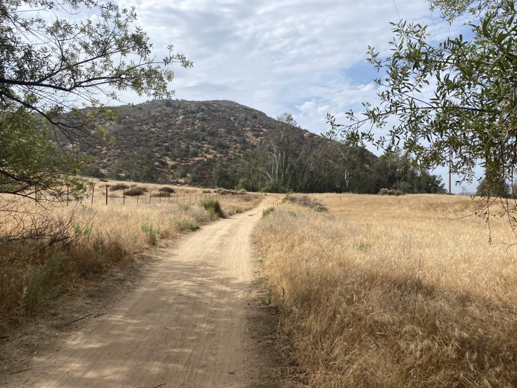
The sun was shining, something that hasn’t happened too much recently. Thankfully a light breeze kept things pleasant. The trail is mostly a loop around the edge of the preserve.


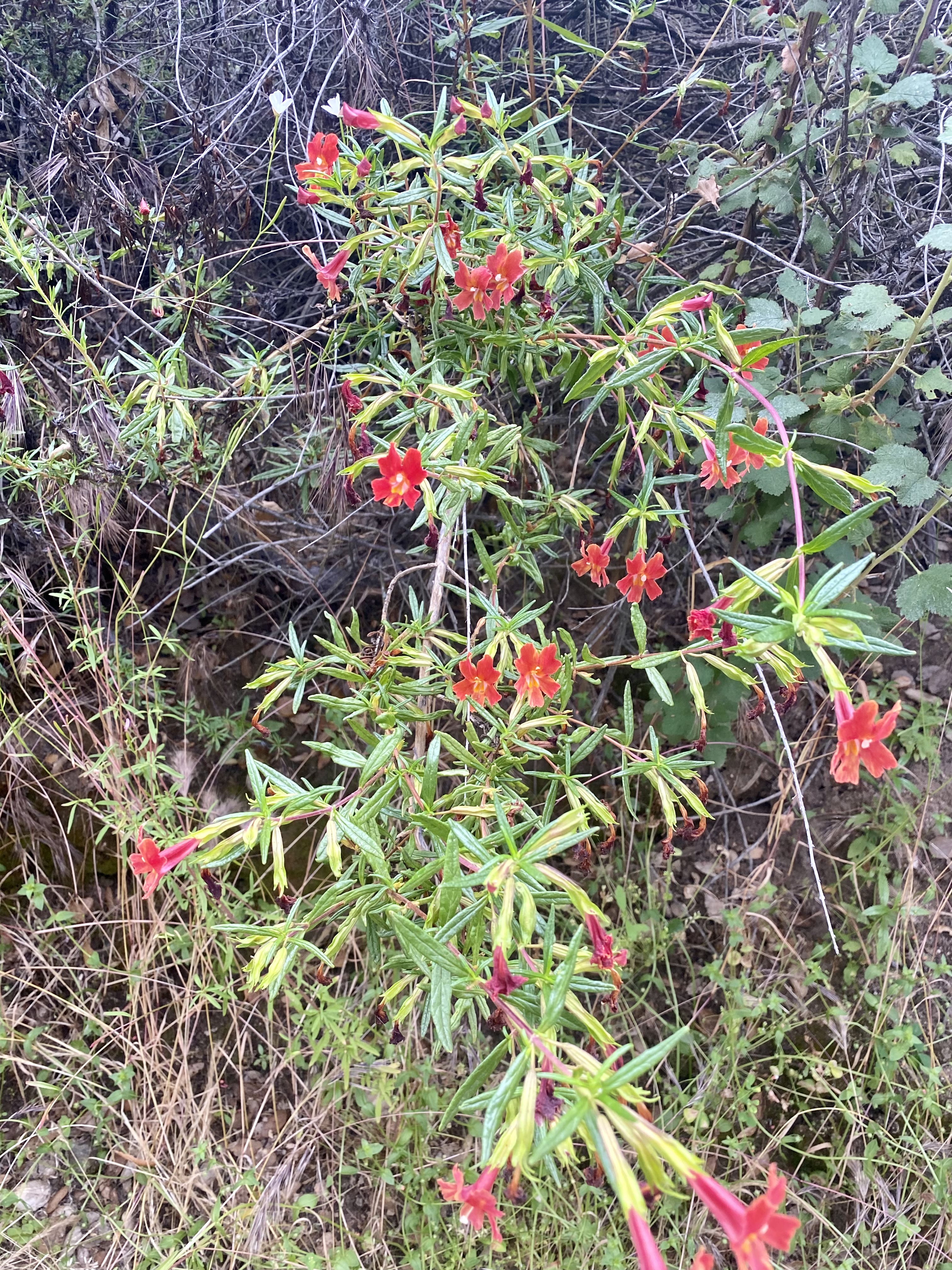
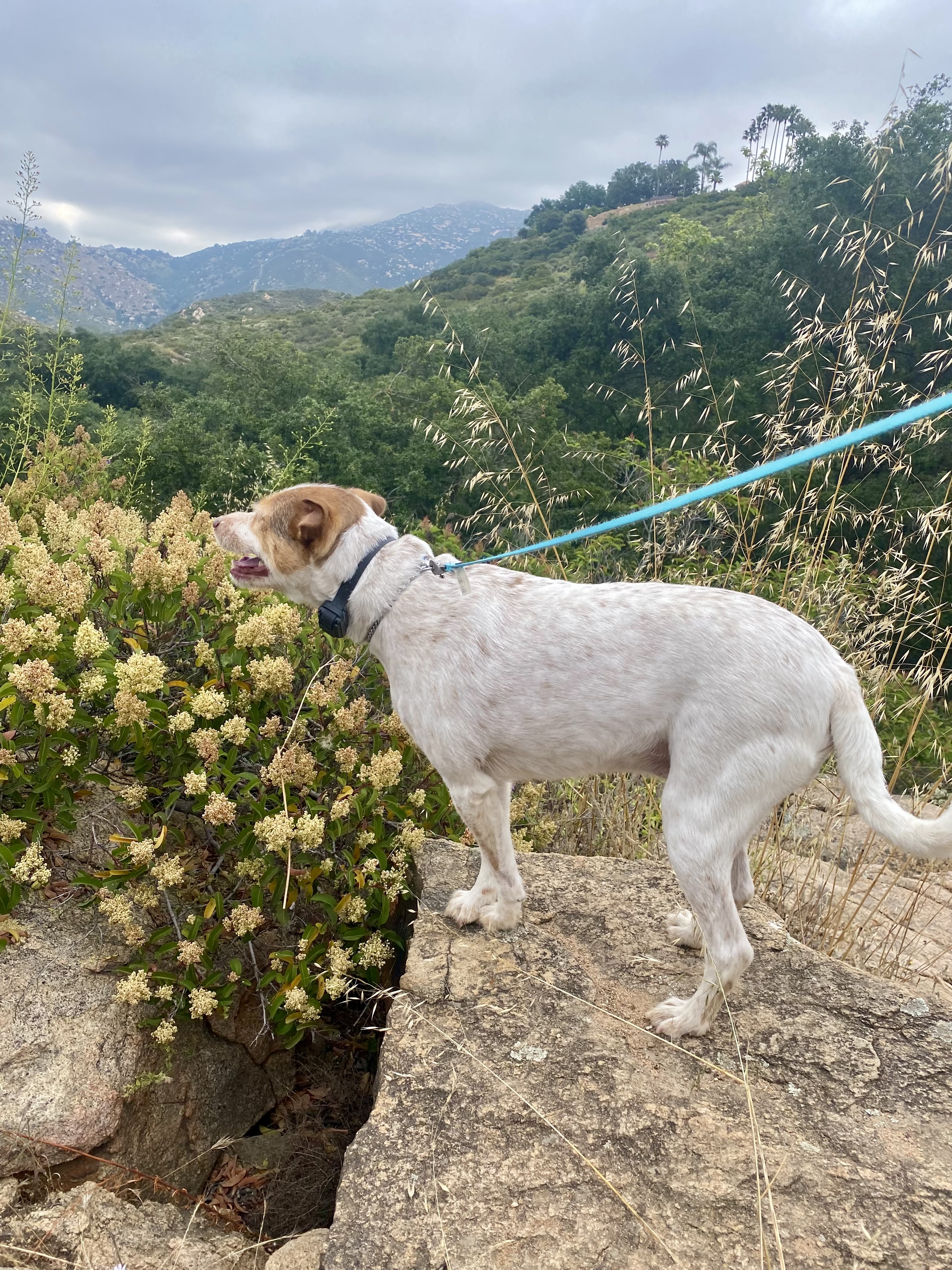
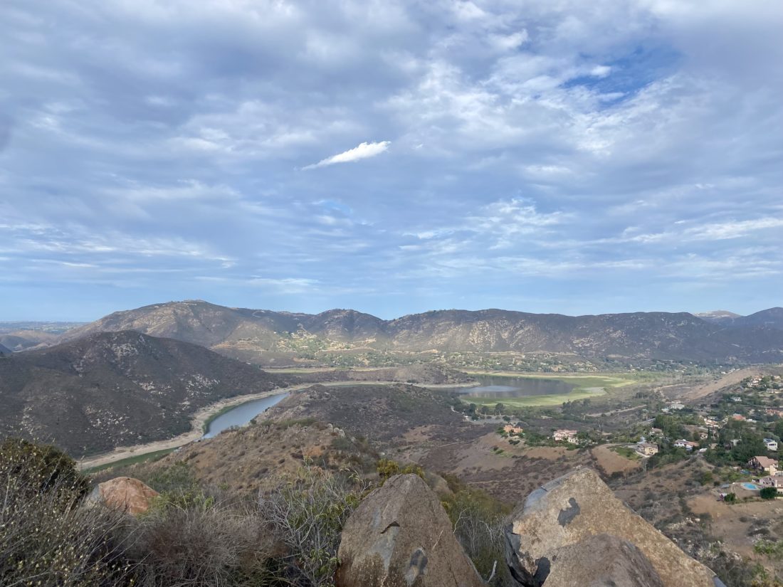
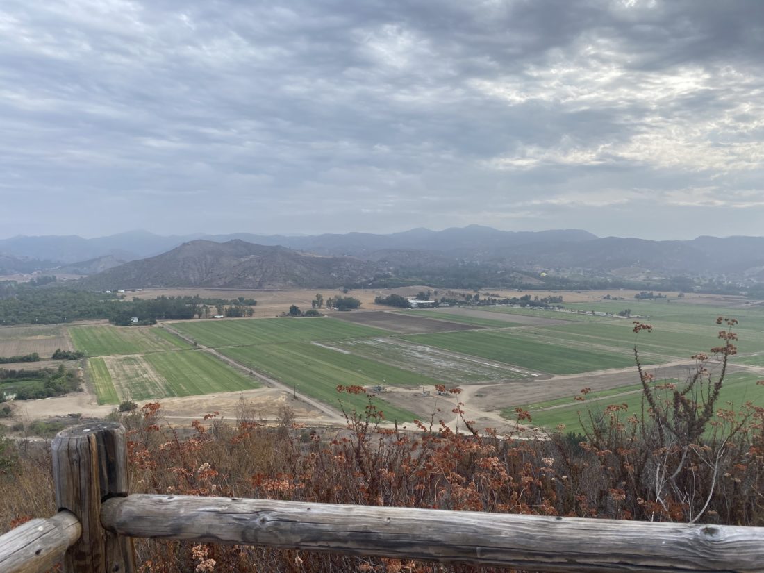
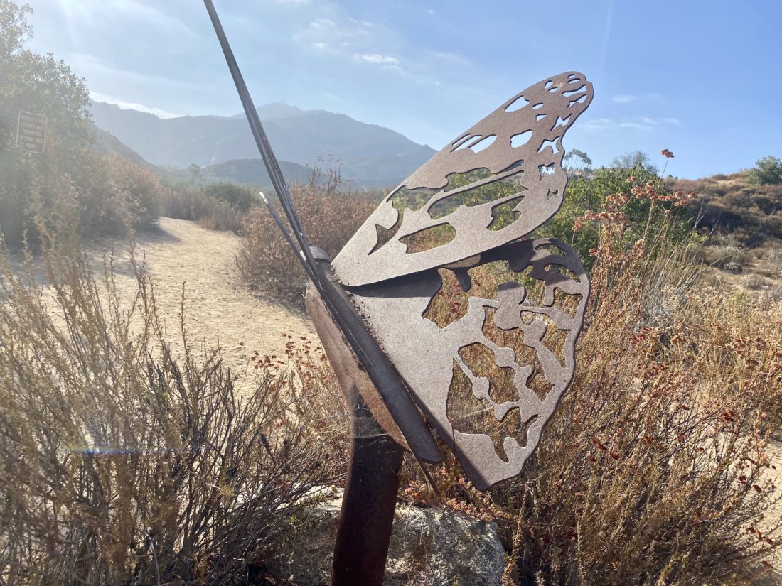
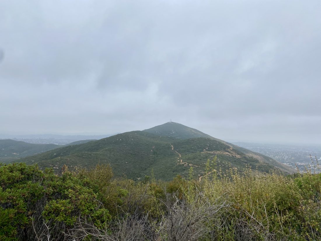
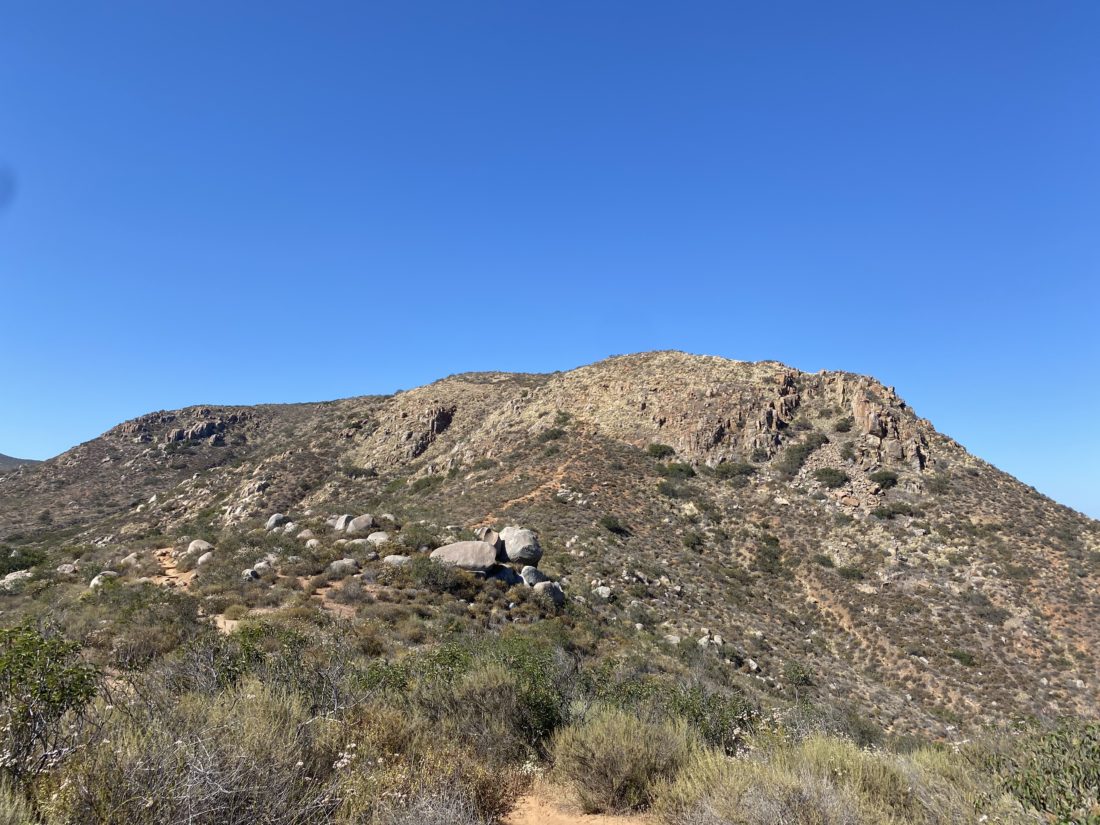
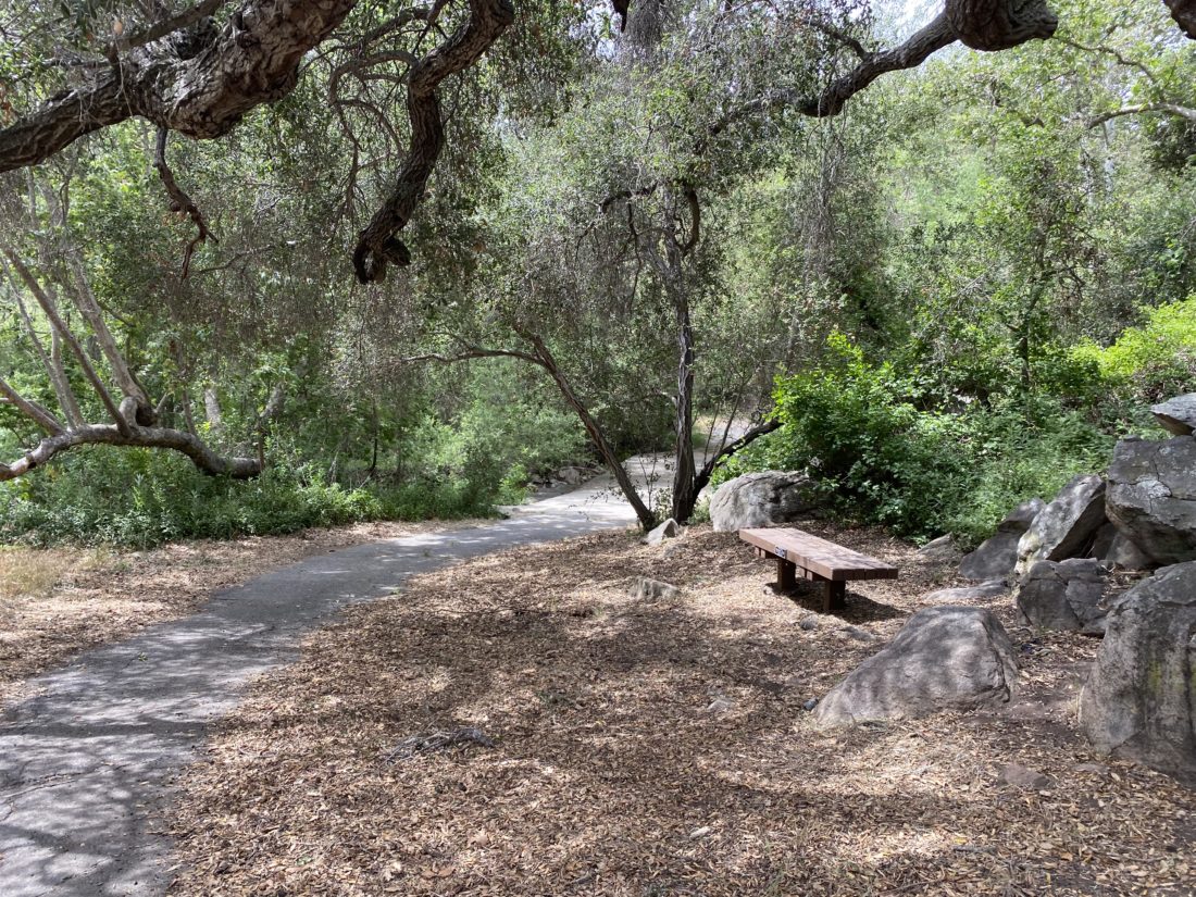
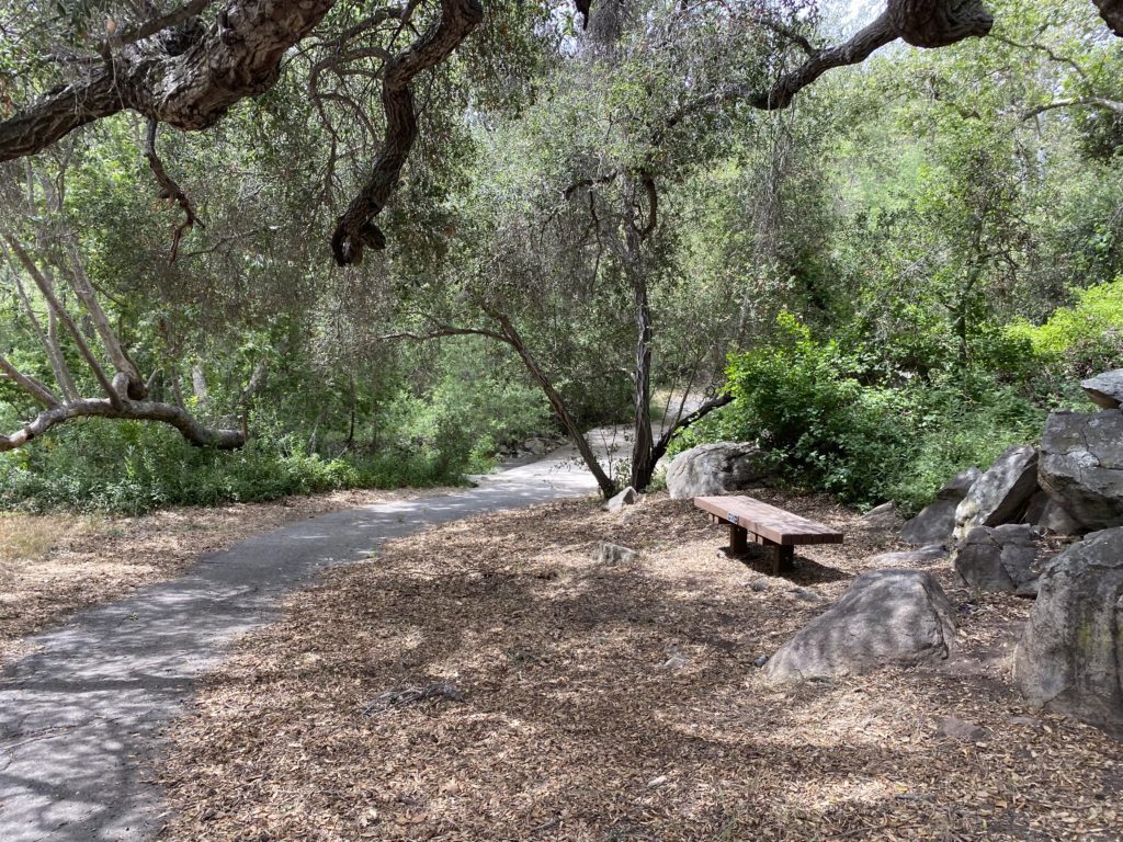
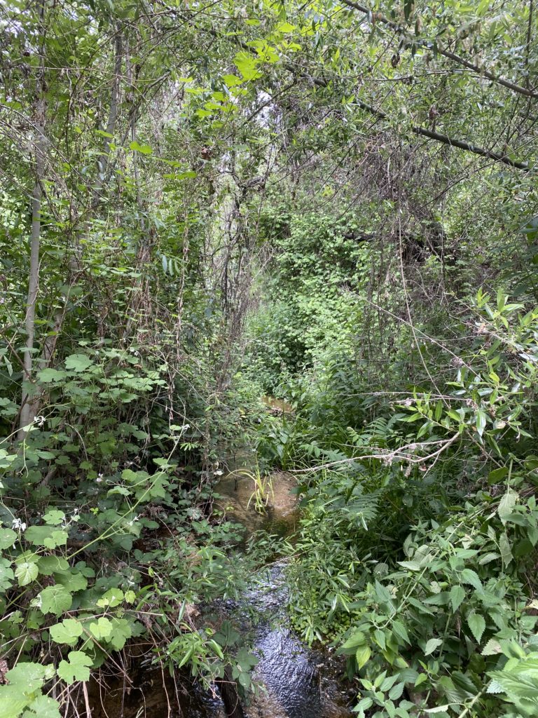
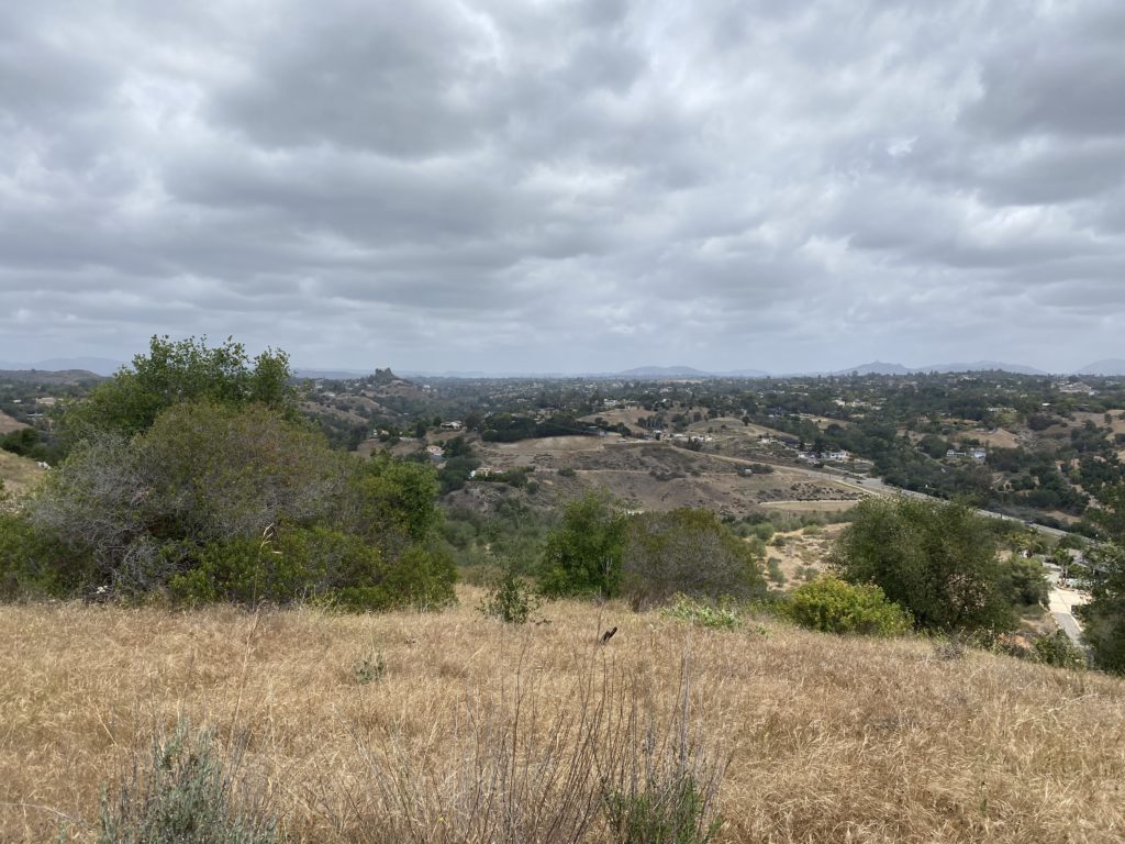
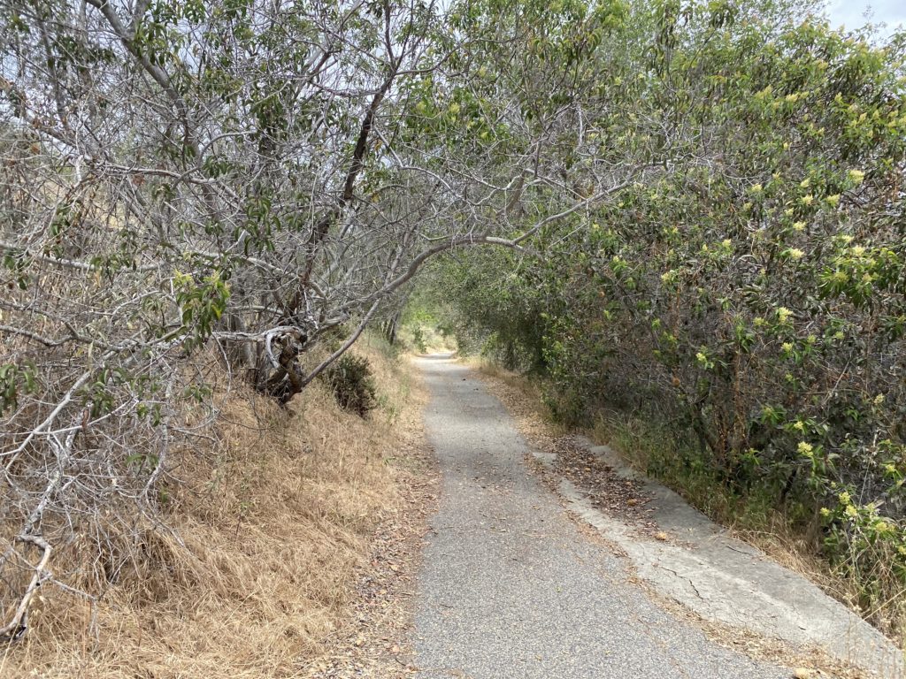
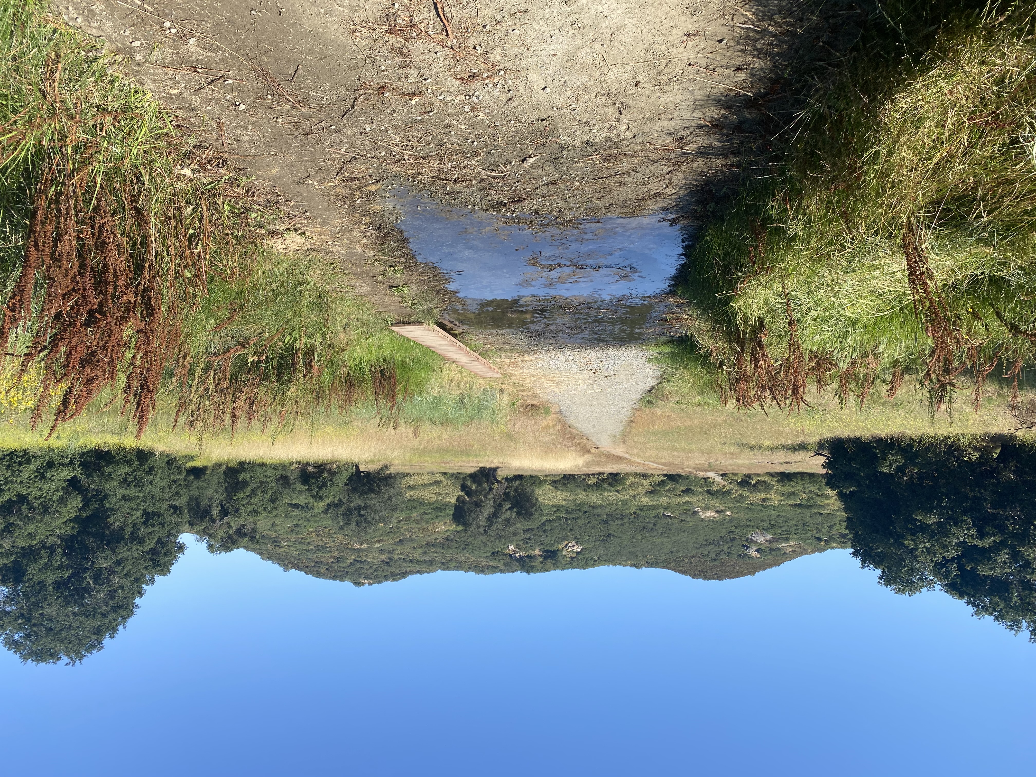
Wildflowers were still in bloom throughout. The trail is initially a paved road that continues on to some properties off to the north and then continues on a proper dirt trail. I soon found myself taking a quick break next to a small pond before continuing on the trail, and arriving at a small water crossing. I began a short climb toward the southern end of the preserve which gave me some sweeping views of the area.


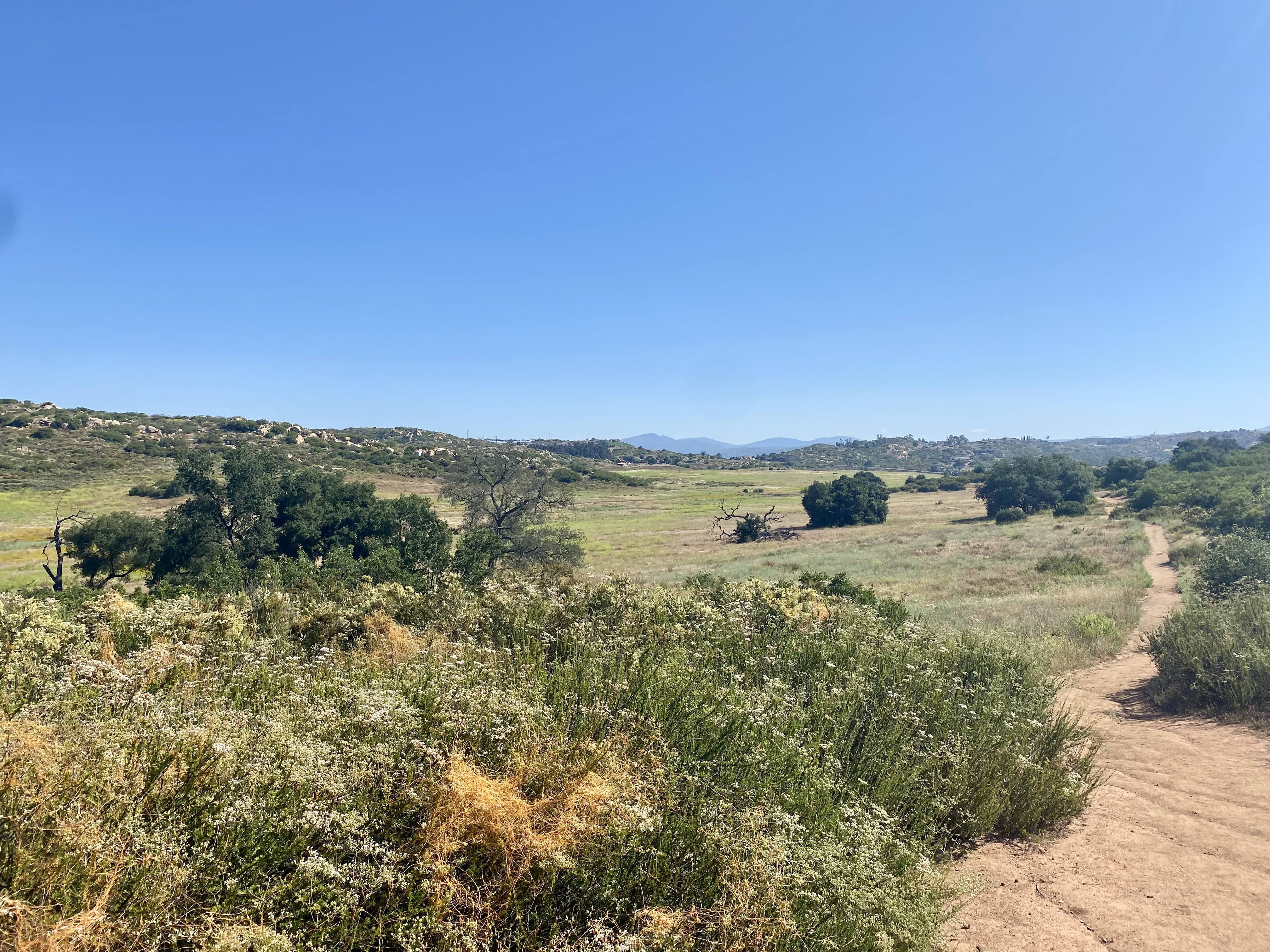
The trail would follow the small ups and downs along the hills. There are two connector trails that would return me back to the trailhead and I opted for the closest, mostly since it also is the trail to the overlooks to the south. I did not want to push my foot since I still needed to drive home so that portion of the preserve would have to wait for another trip.


Since I was out near Ramona, I decided to stop in and visit Kit Fox Outfitters. Colin was teaching a class, so I chatted with Stephanie a bit. Once I am ready to start backpacking again, going to have to take a closer look at their store. 🙂


I am an avid peak bagger, sometimes backpacker, and former sea kayaker living in San Diego. In 2019, I became the third person to complete the San Diego 100 Peak Challenge. Not stopping with that accomplishment, I set my sights on the harder San Diego Sierra Club 100 Peak list, which I completed in 2021. In addition, I have conquered several Six-Pack of Peaks challenges (SoCal, San Diego, Central Coast, and Arizona-Winter). Beyond attempting the San Diego Sierra Club 100 Peak list a second time, I am looking forward to exploring new summits and new adventures across the southwest.