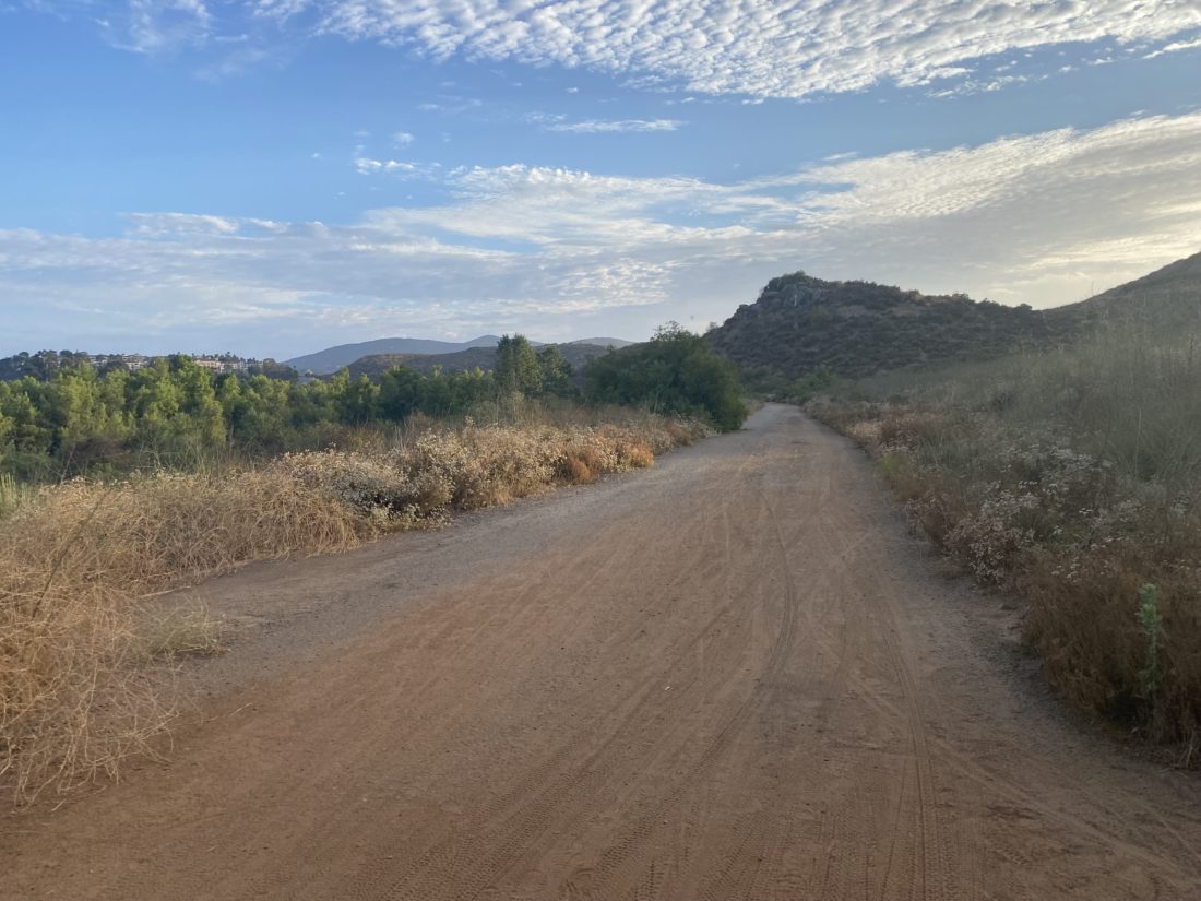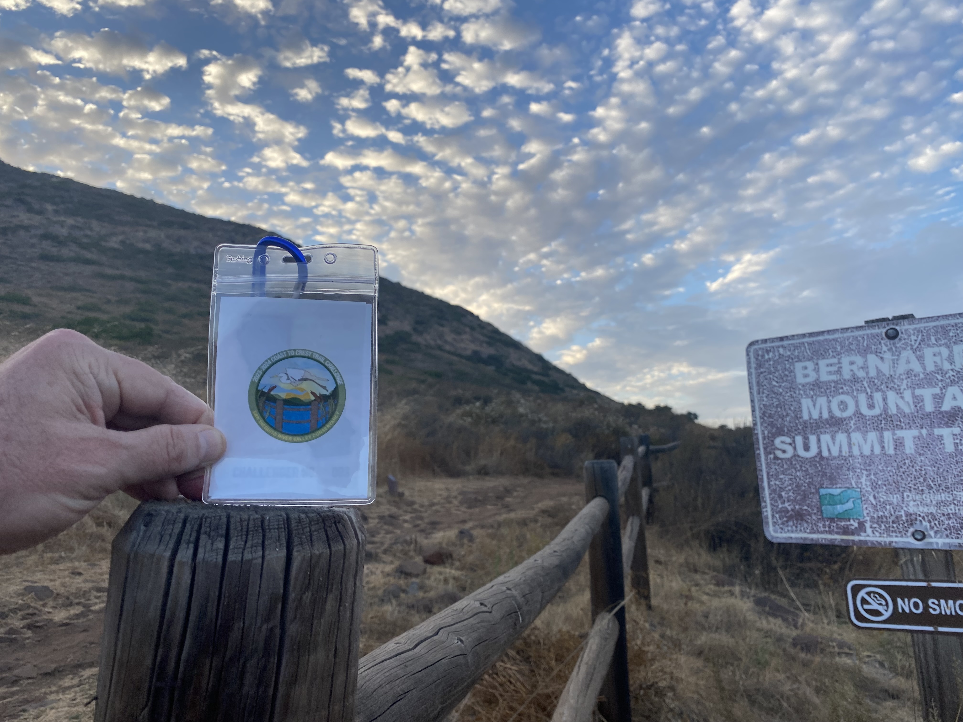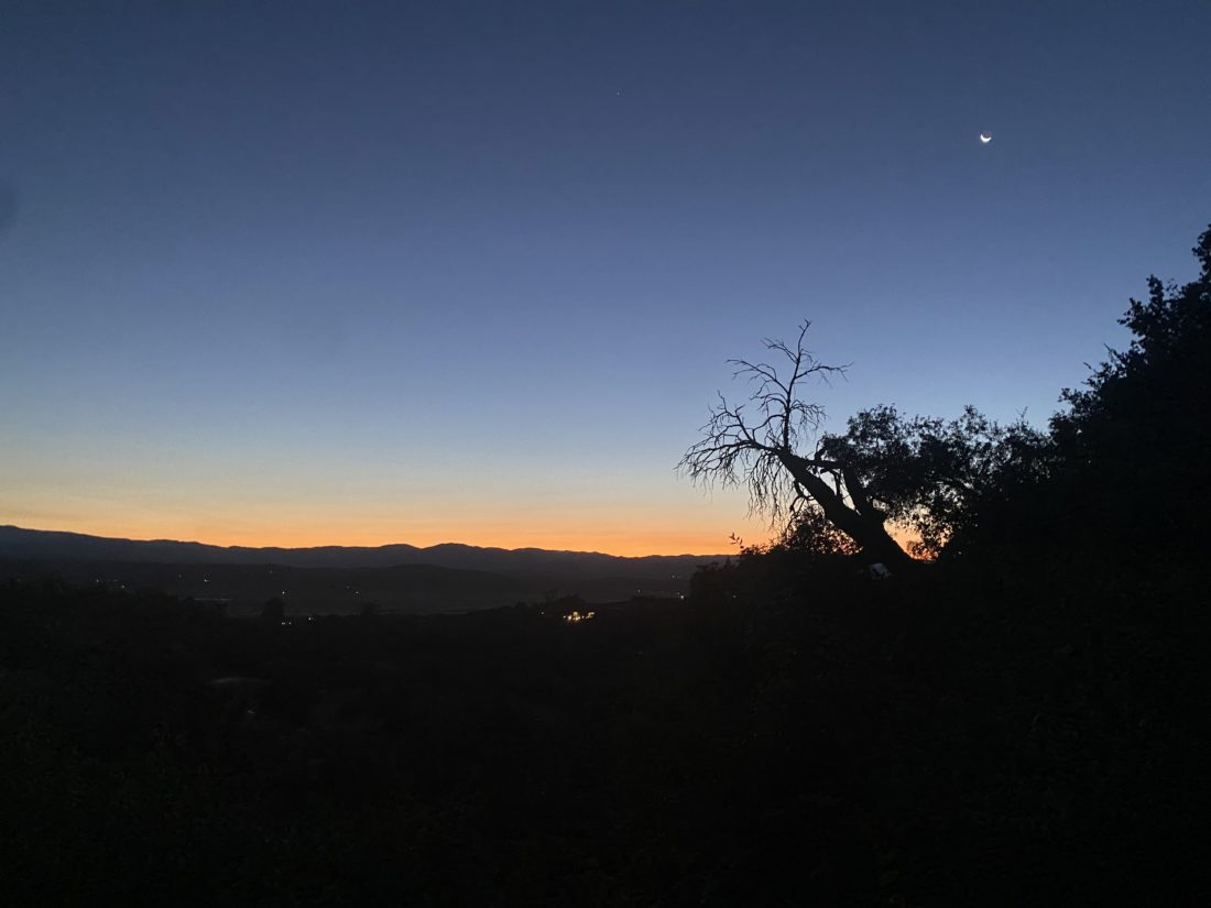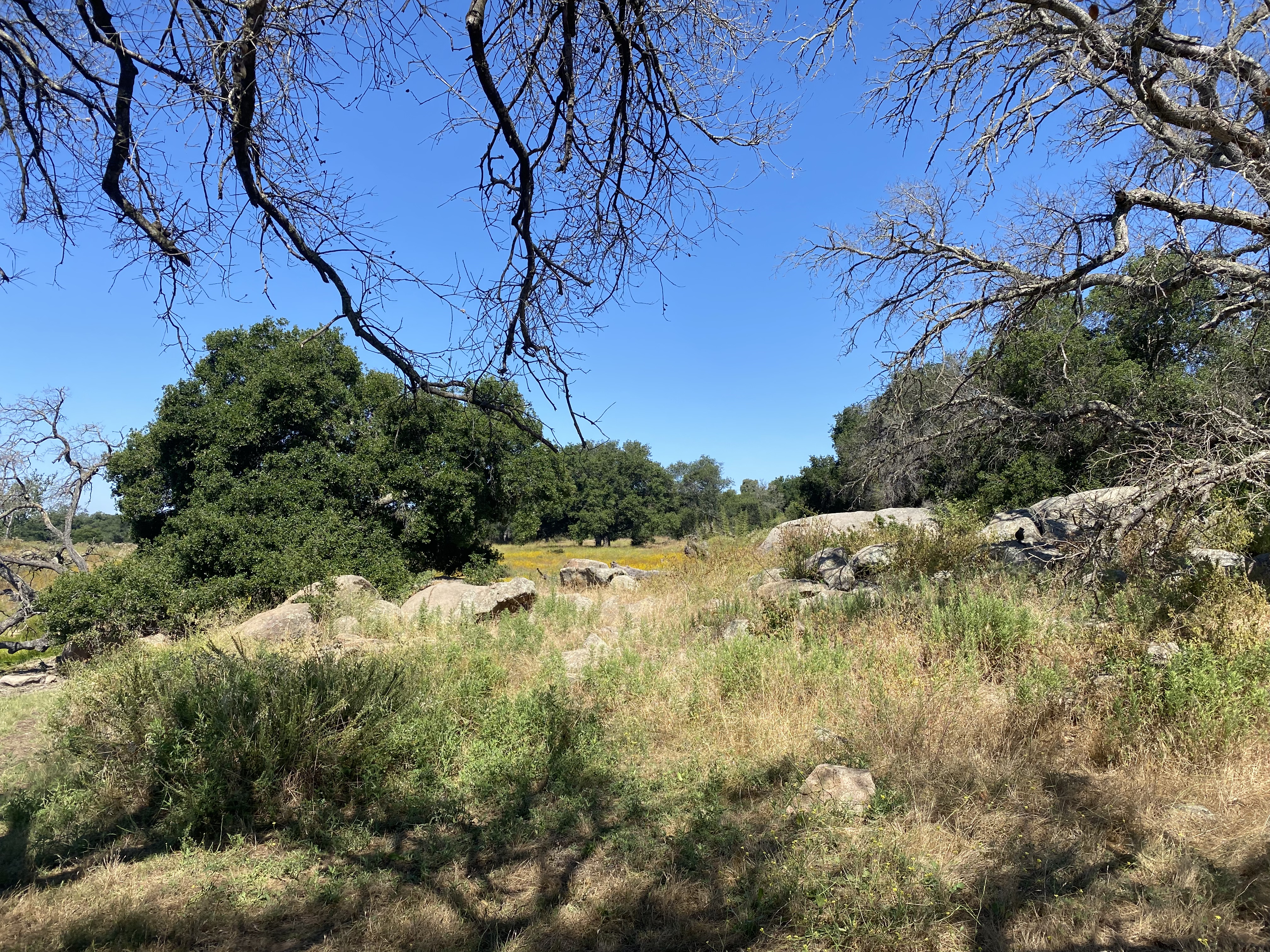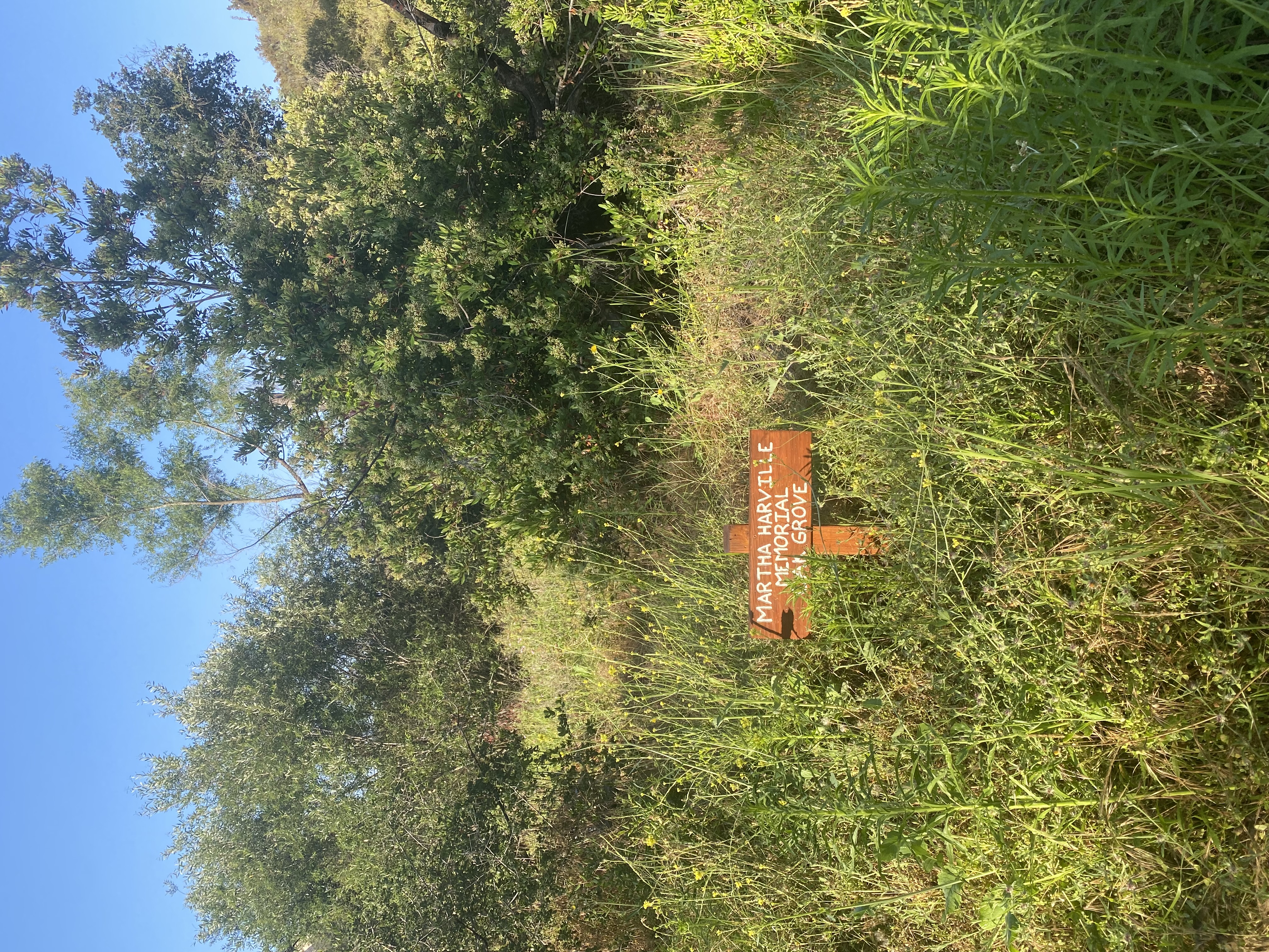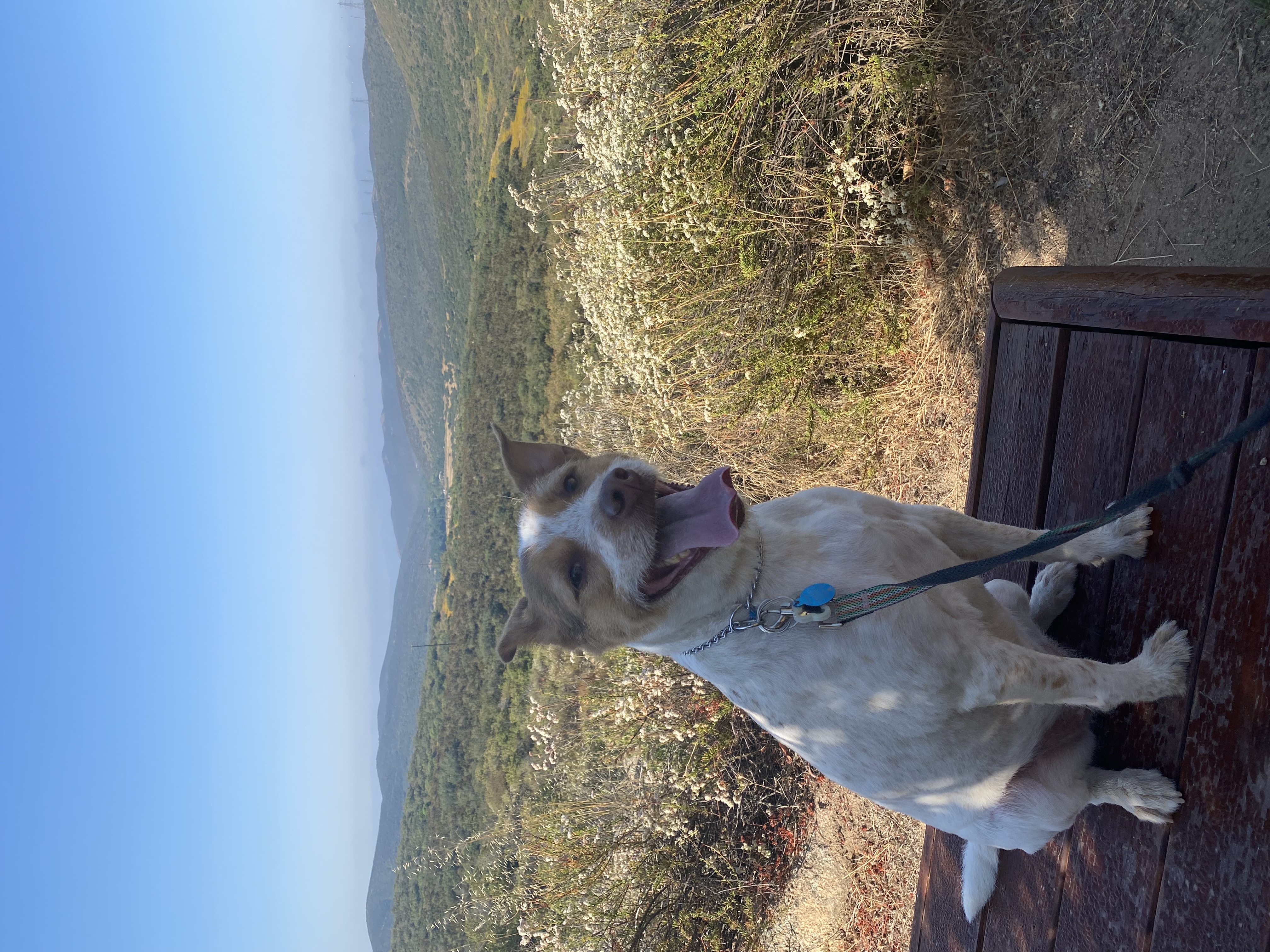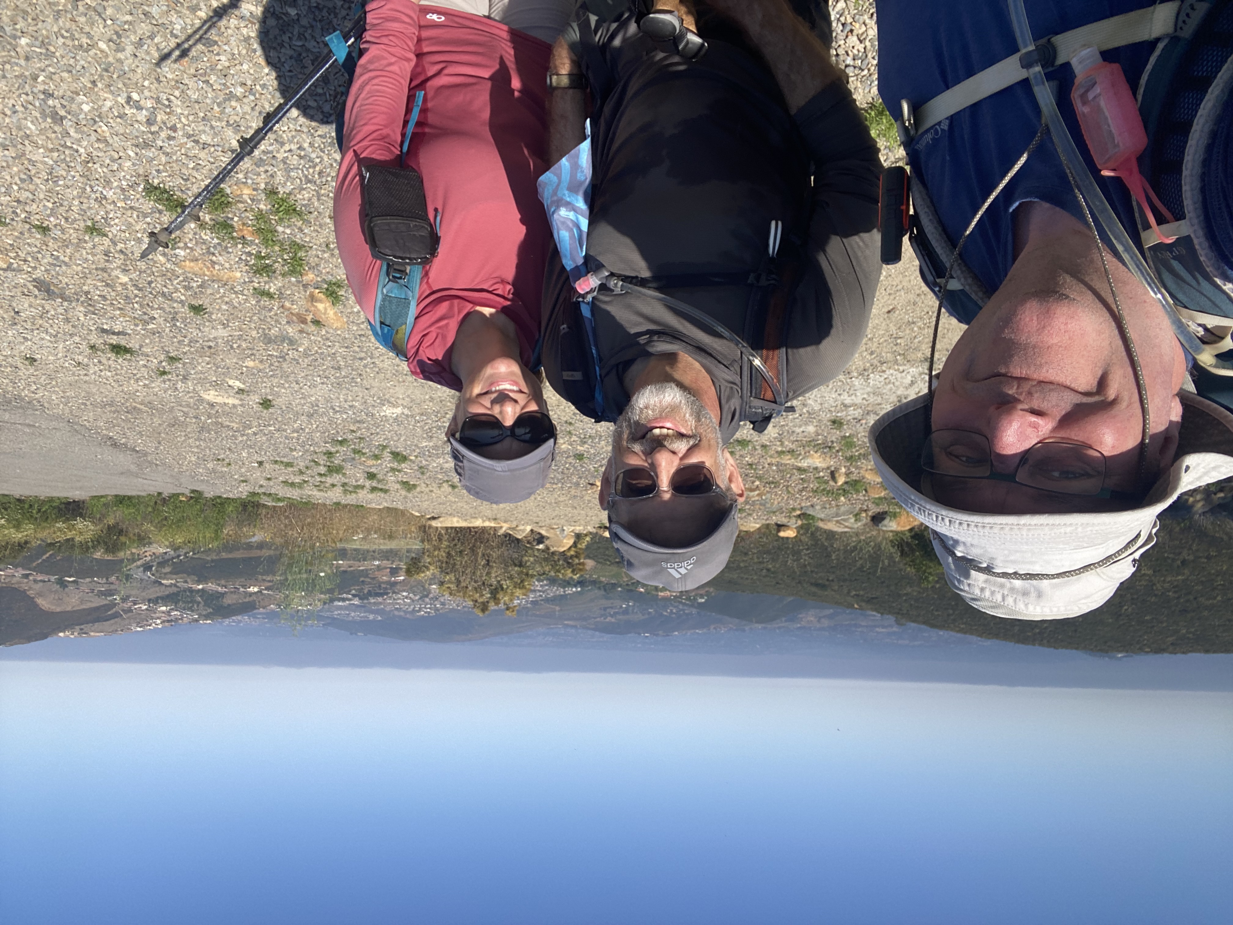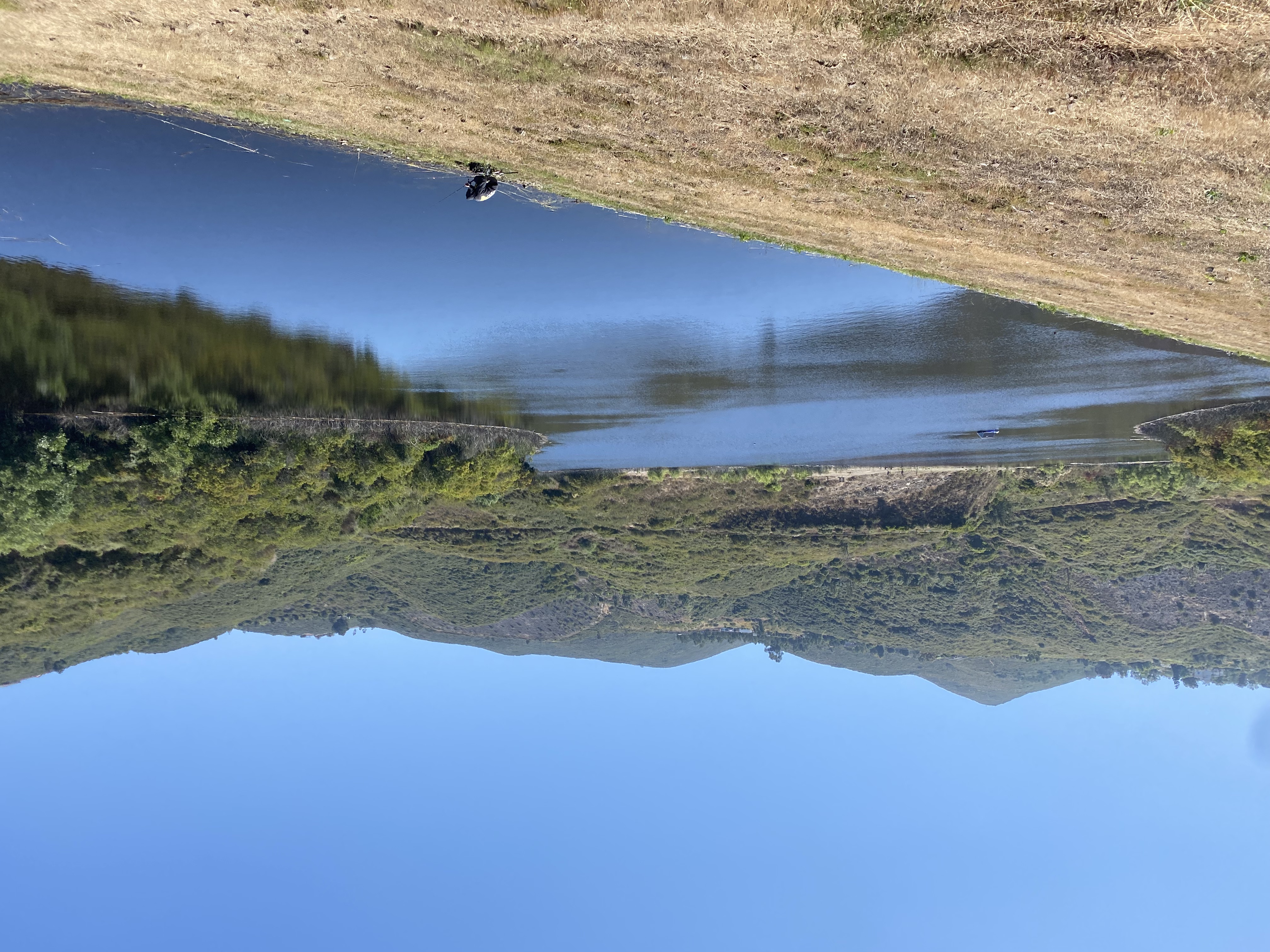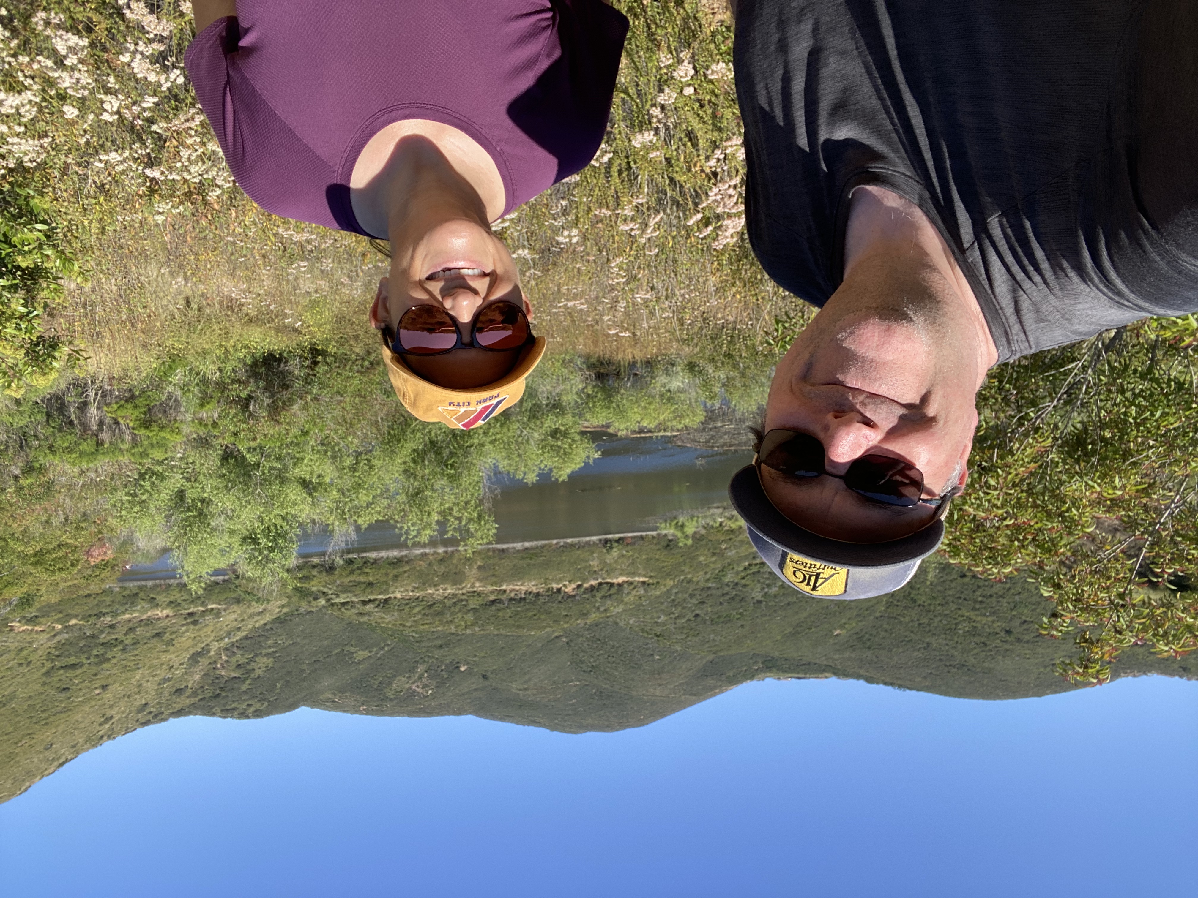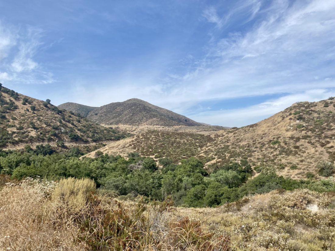
The hike along the Santa Ysabel Truck Trail was back on this year’s list of hikes for the Coast to Crest challenge. I really enjoyed doing it last time, so I was looking forward to hiking it again. Since the hike is a fairly mild one, I invited my friend Jeremy to join Ted and me on this adventure. We pulled into the parking lot and got our gear together. The skies were slightly overcast from the incoming Hurricane Hillary as we set off.


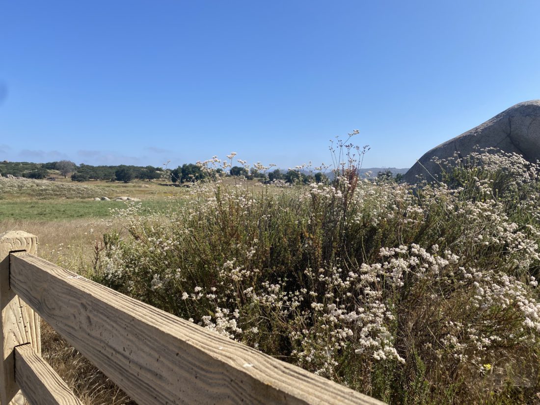
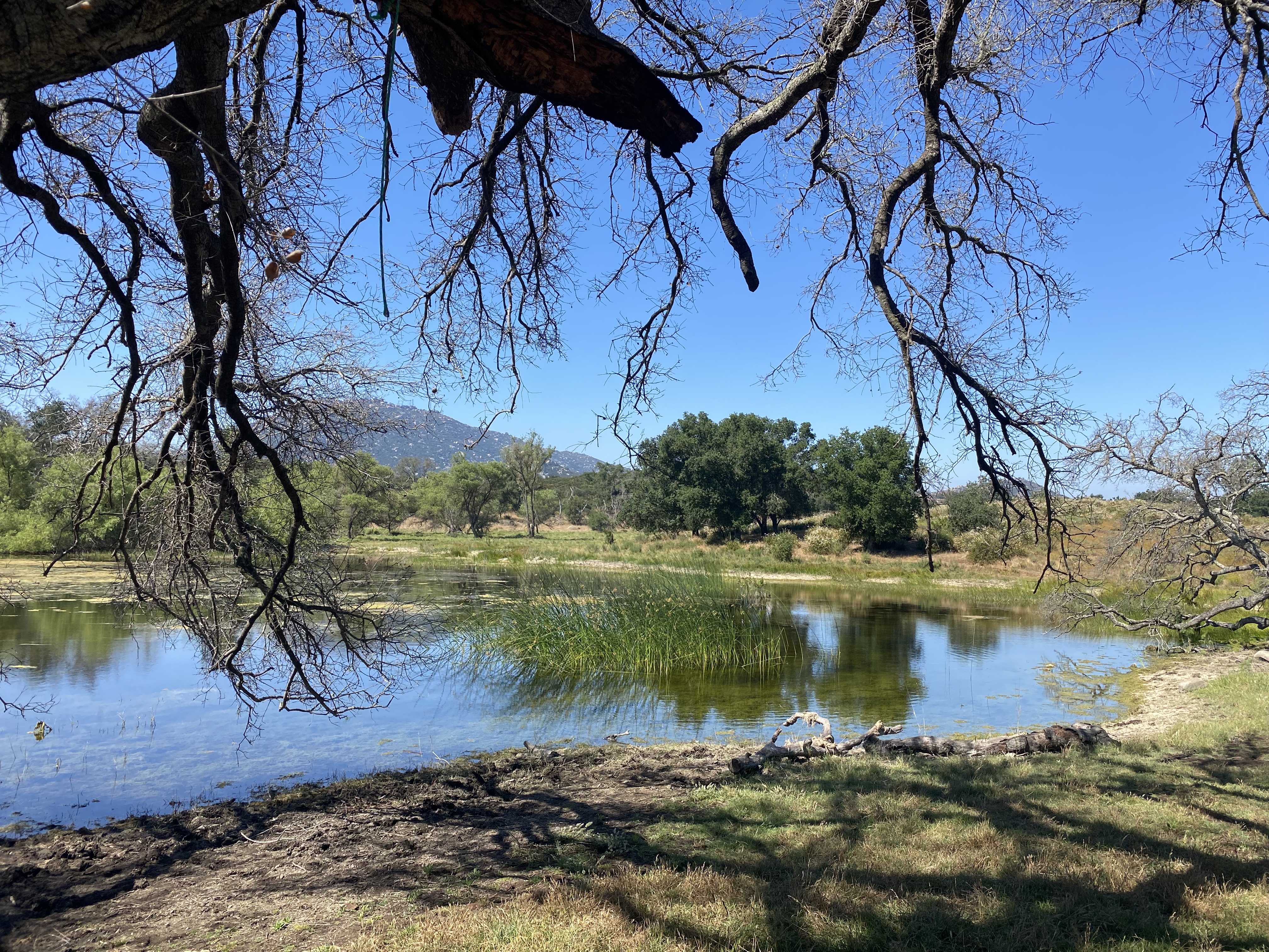
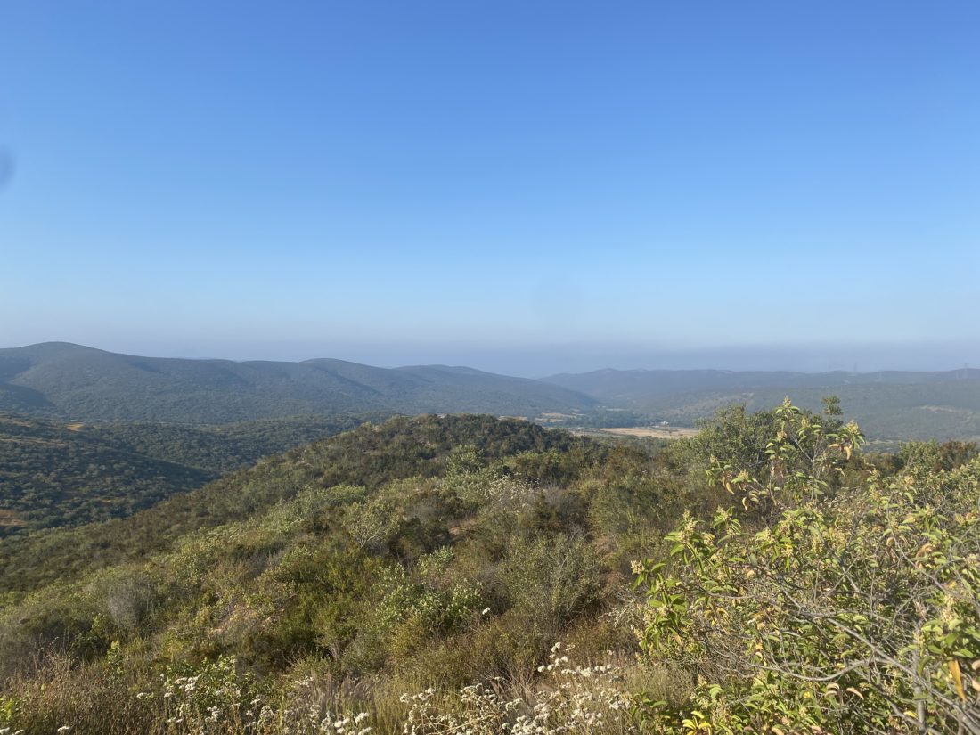
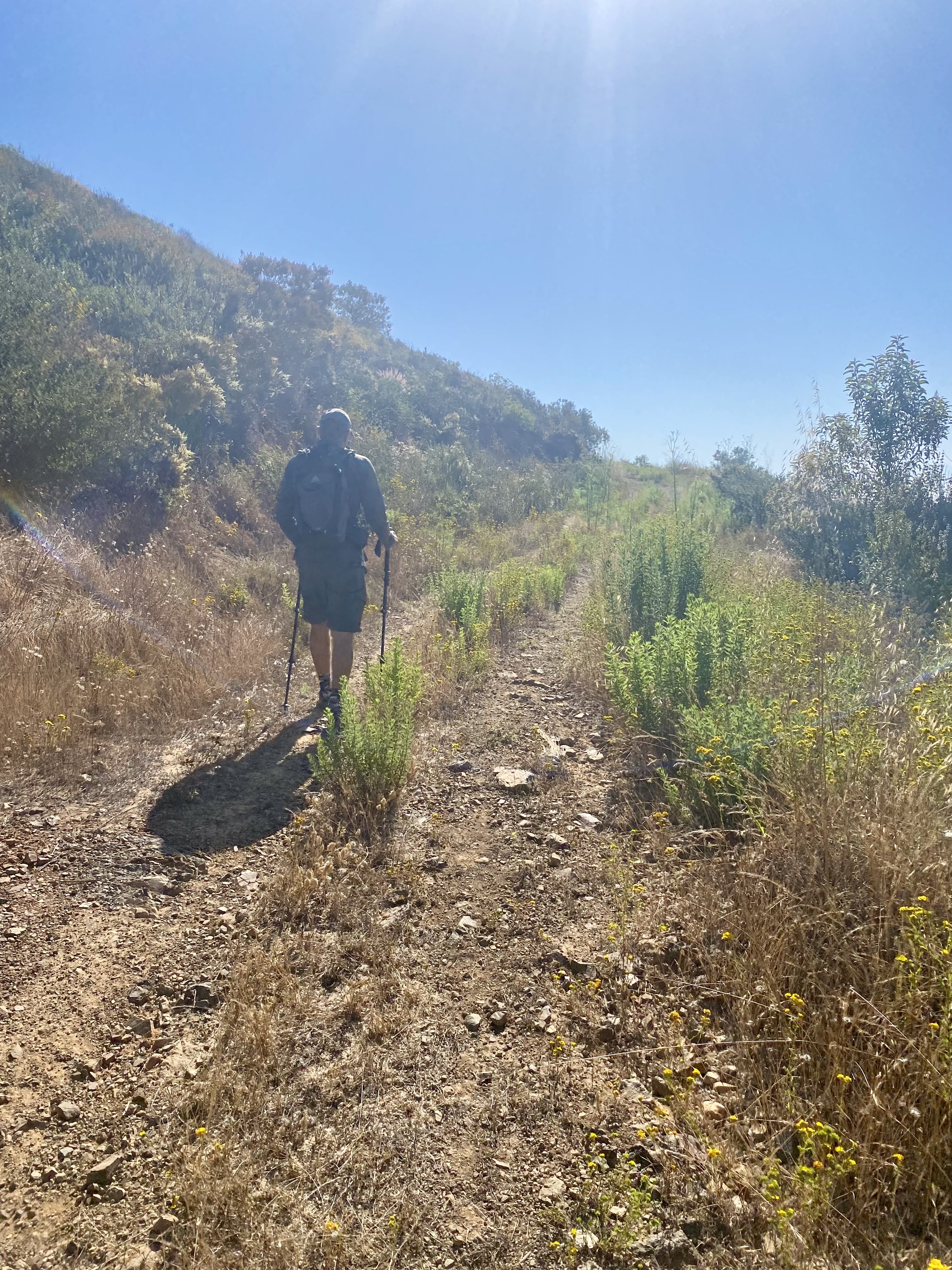
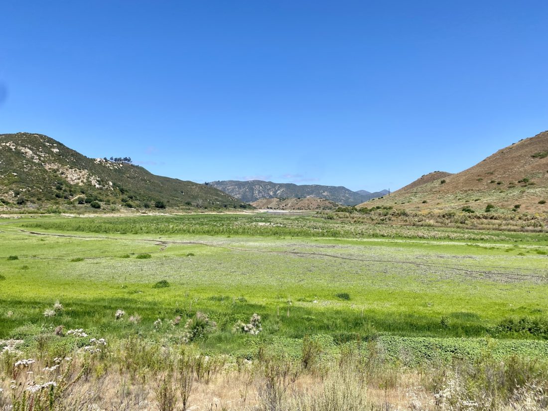
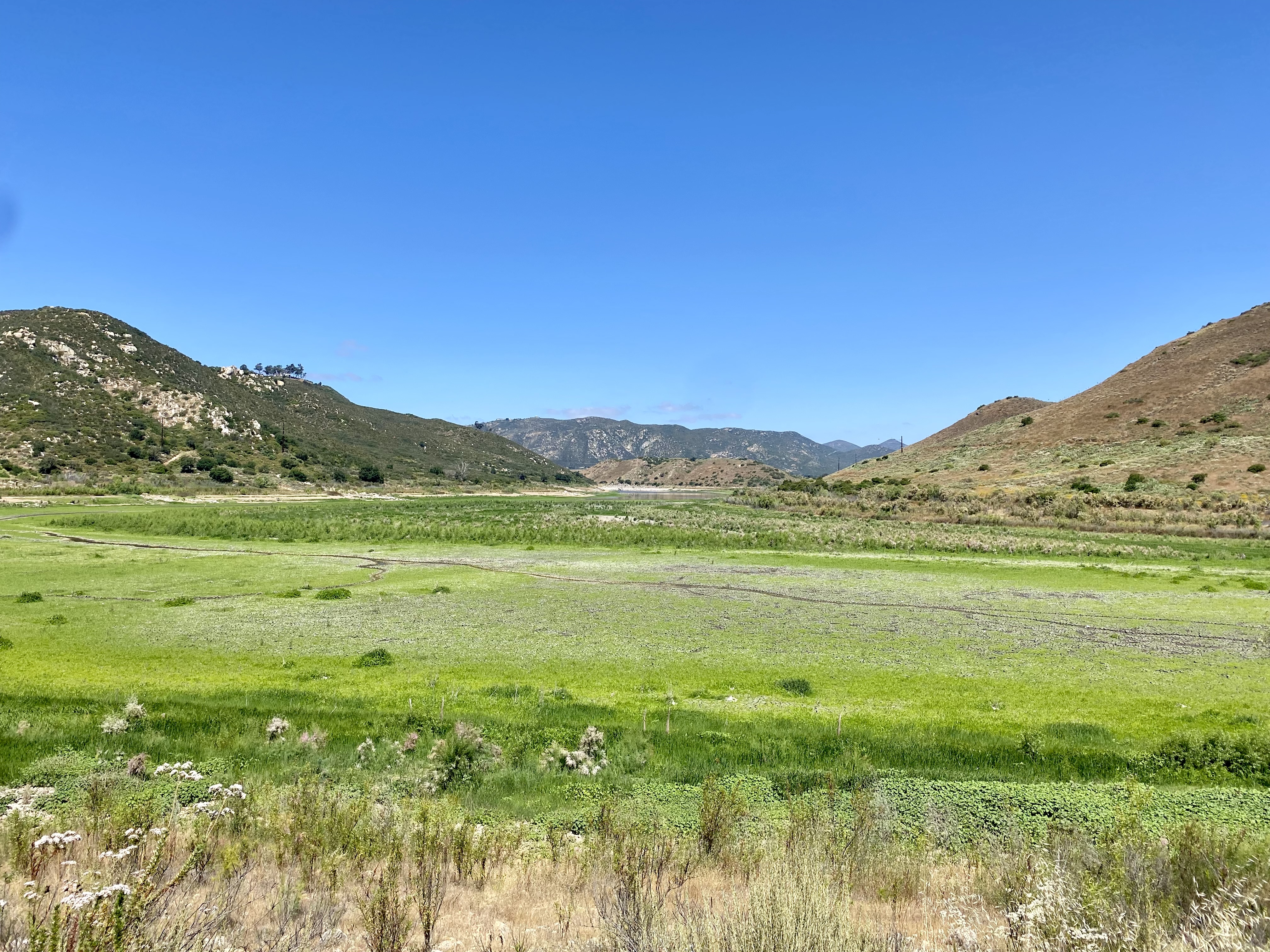
We cruised along the trail, catching up about our recent college graduates, various trips we have taken, and life. Soon we reached the junction with Orasco Guejito Truck Trail and took a short break. I warned Jeremy that our return would be a touch harder, as you don’t directly feel it, but you are following the San Dieguito River, and water only flows one way…


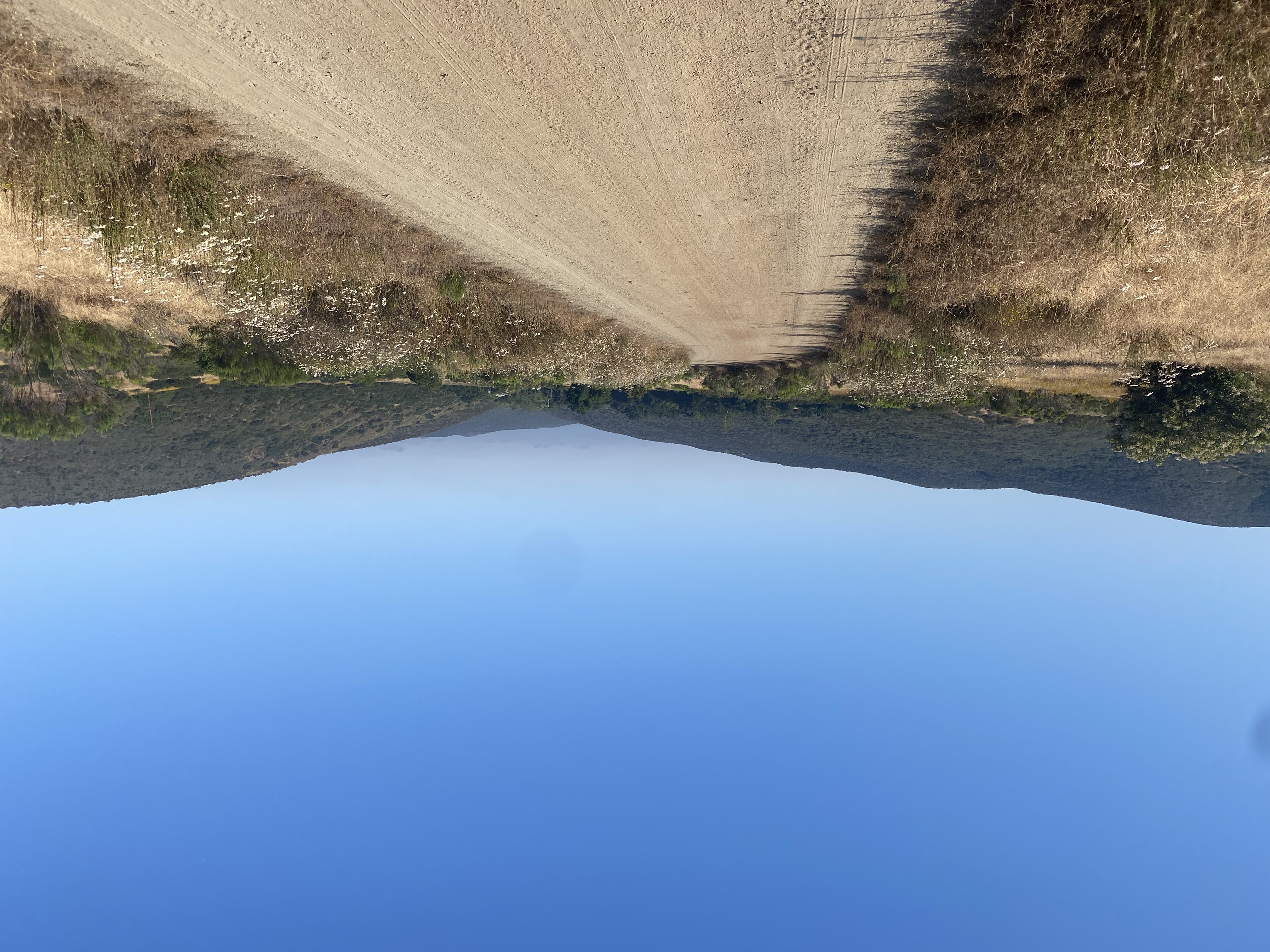
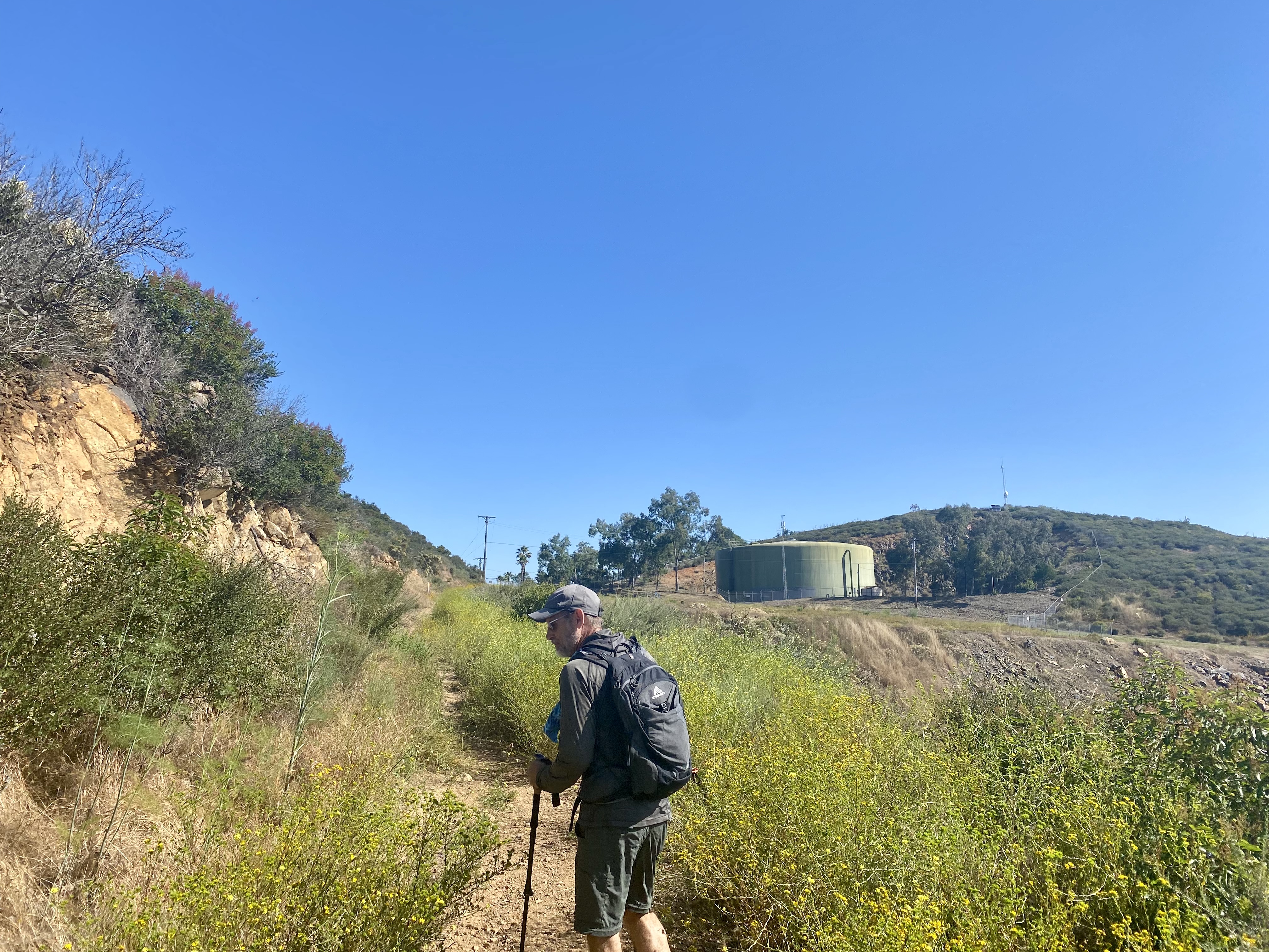
Along our way back we encountered some cyclocross riders trying to get some outside time in before the rains and winds hit. When we got back to the car, two horse trailers had arrived. Since we did not encounter them, I assume they were off enjoying the Pamo Valley trail. We drove back home and enjoyed a well-earned lunch at Mi Ranchito in PQ. Three hikes down, two to go! The stats for the hike were 6.7 miles with 600 feet of gain in 2:44.


I am an avid peak bagger, sometimes backpacker, and former sea kayaker living in San Diego. In 2019, I became the third person to complete the San Diego 100 Peak Challenge. Not stopping with that accomplishment, I set my sights on the harder San Diego Sierra Club 100 Peak list, which I completed in 2021. In addition, I have conquered several Six-Pack of Peaks challenges (SoCal, San Diego, Central Coast, and Arizona-Winter). Beyond attempting the San Diego Sierra Club 100 Peak list a second time, I am looking forward to exploring new summits and new adventures across the southwest.