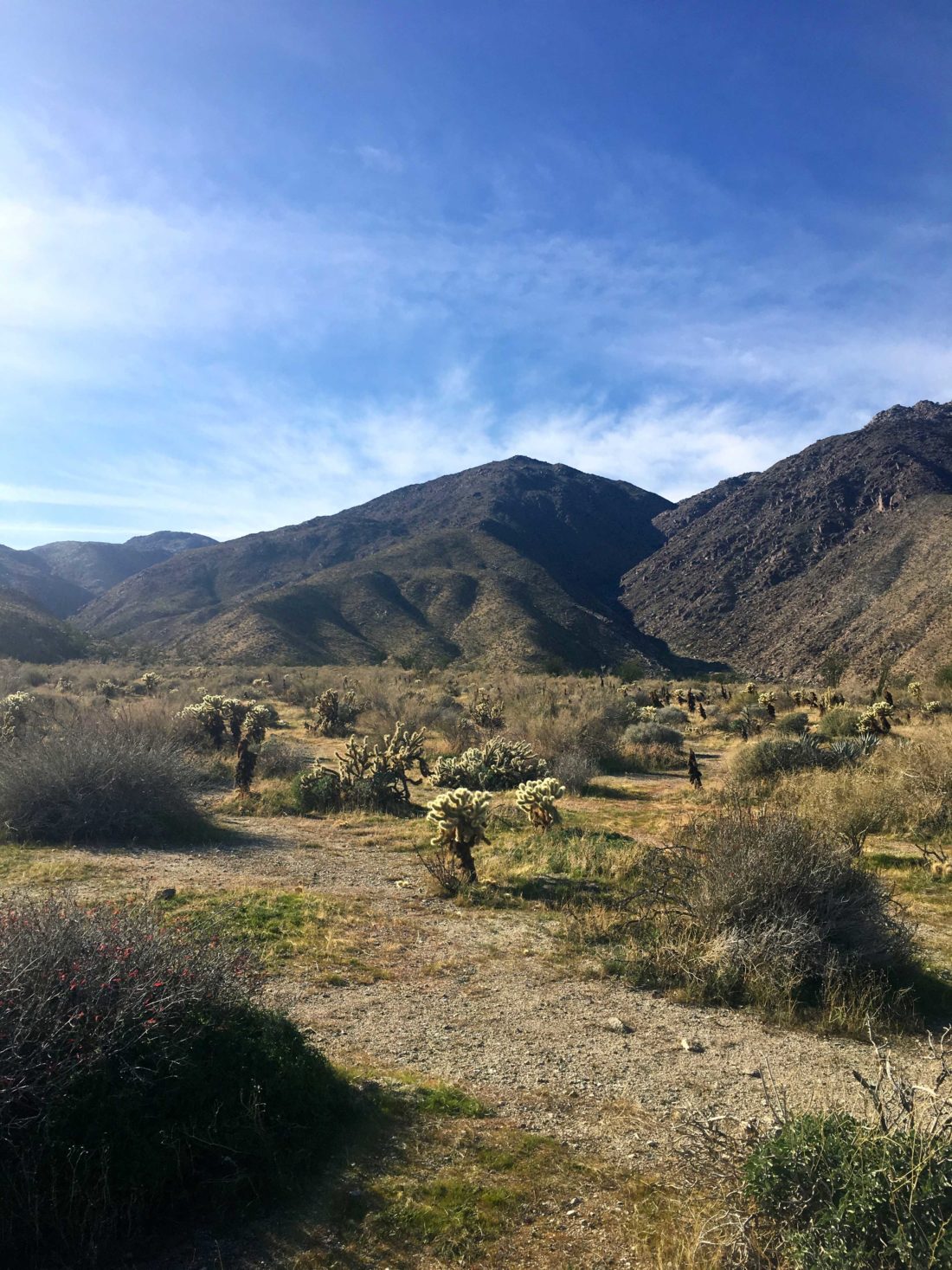
The original plan was to make the long off-road drive to summit Vallecito Mountain High Point, but I needed to be reachable by phone. So, instead, we opted to summit Webo Benchmark, figuring since it was in the line of sight of Borrego Springs we would have cell coverage.
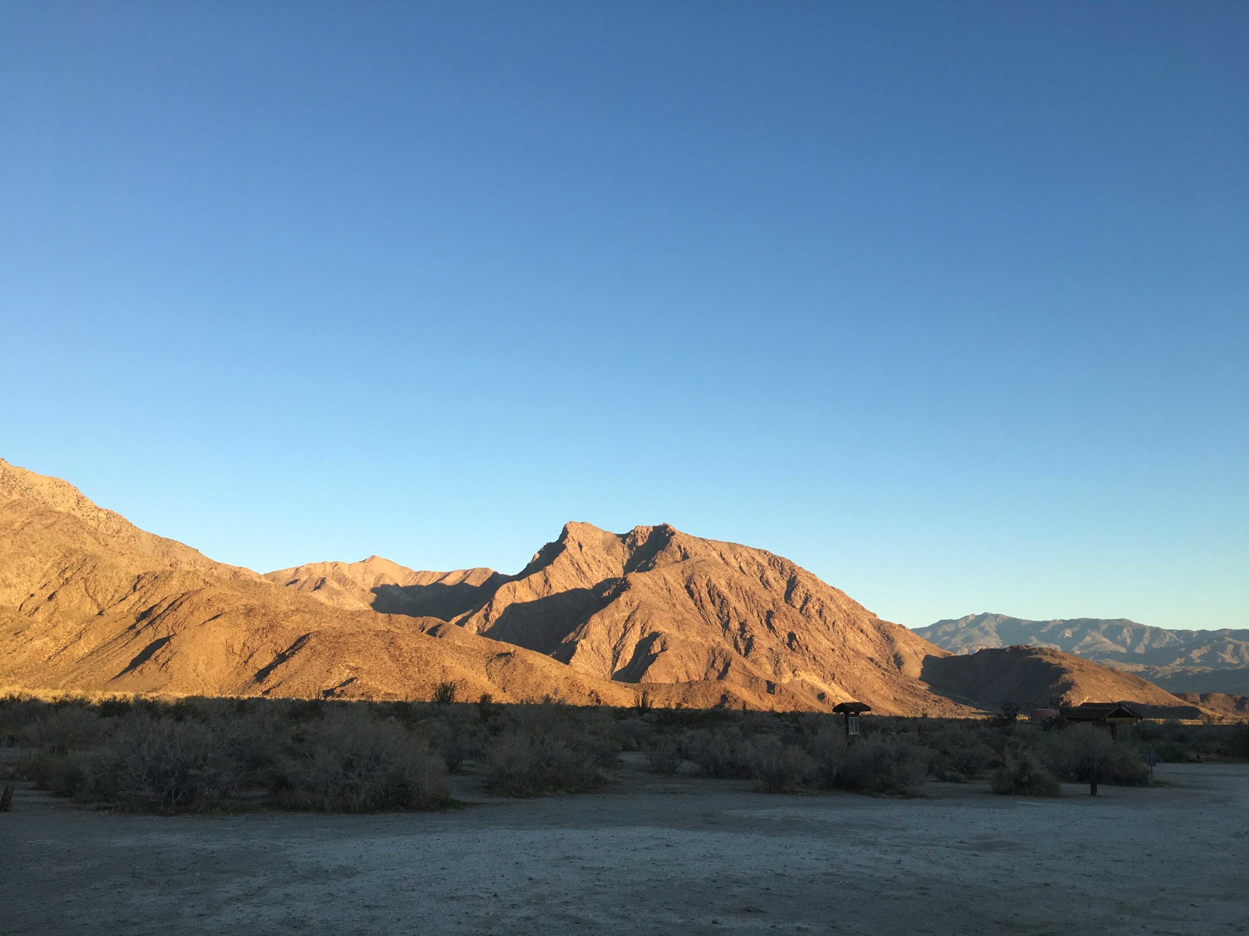

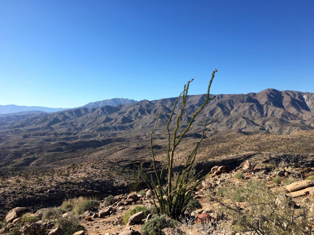
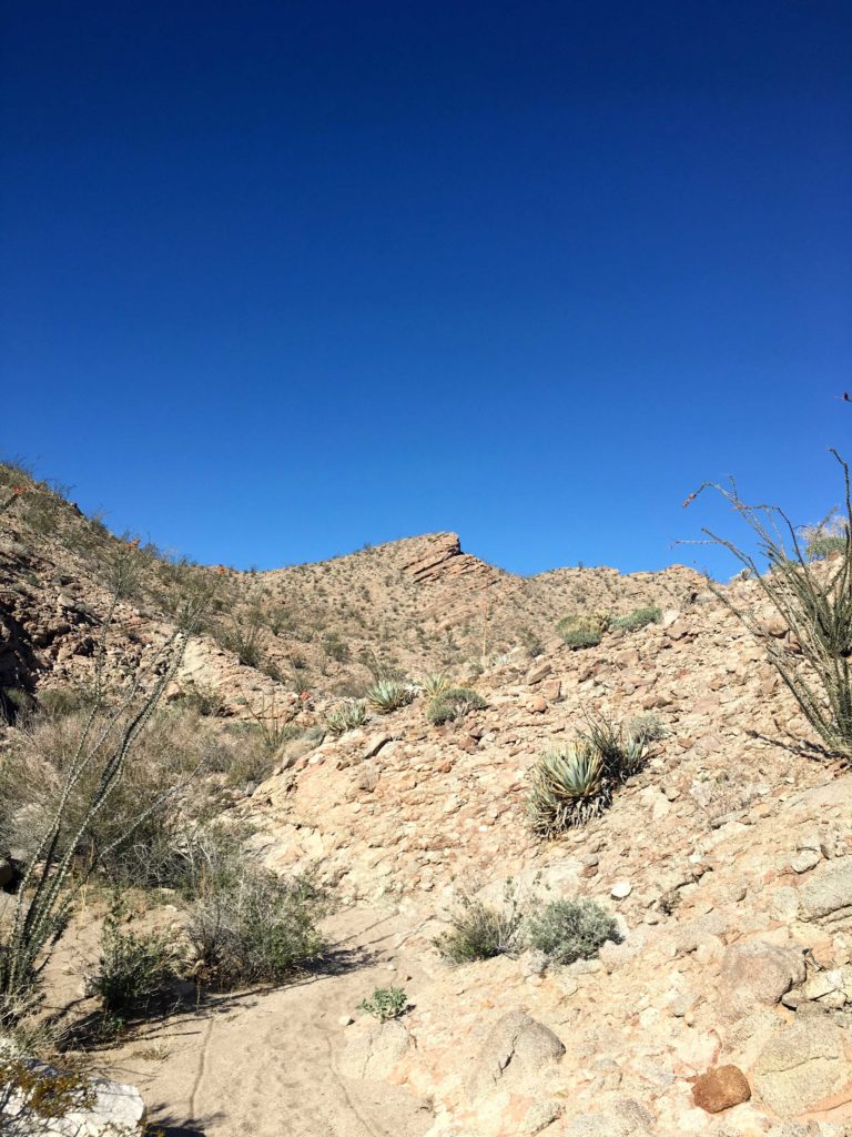
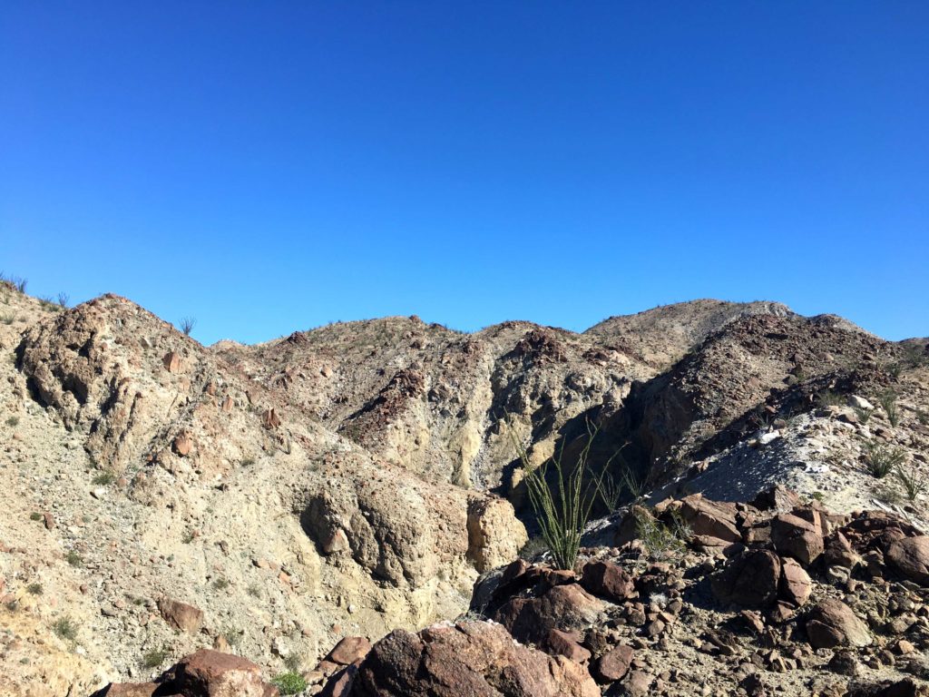
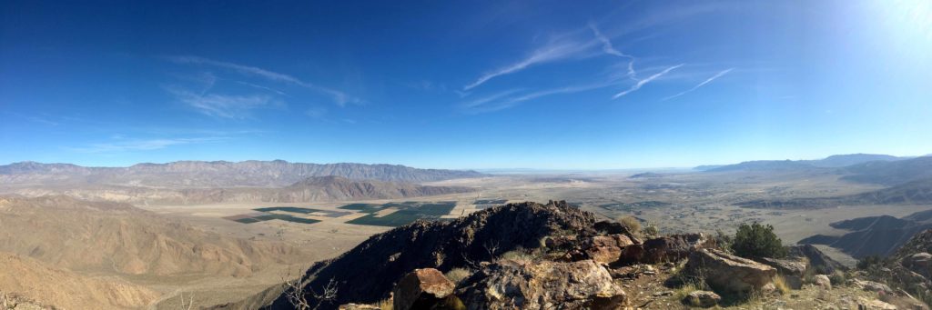
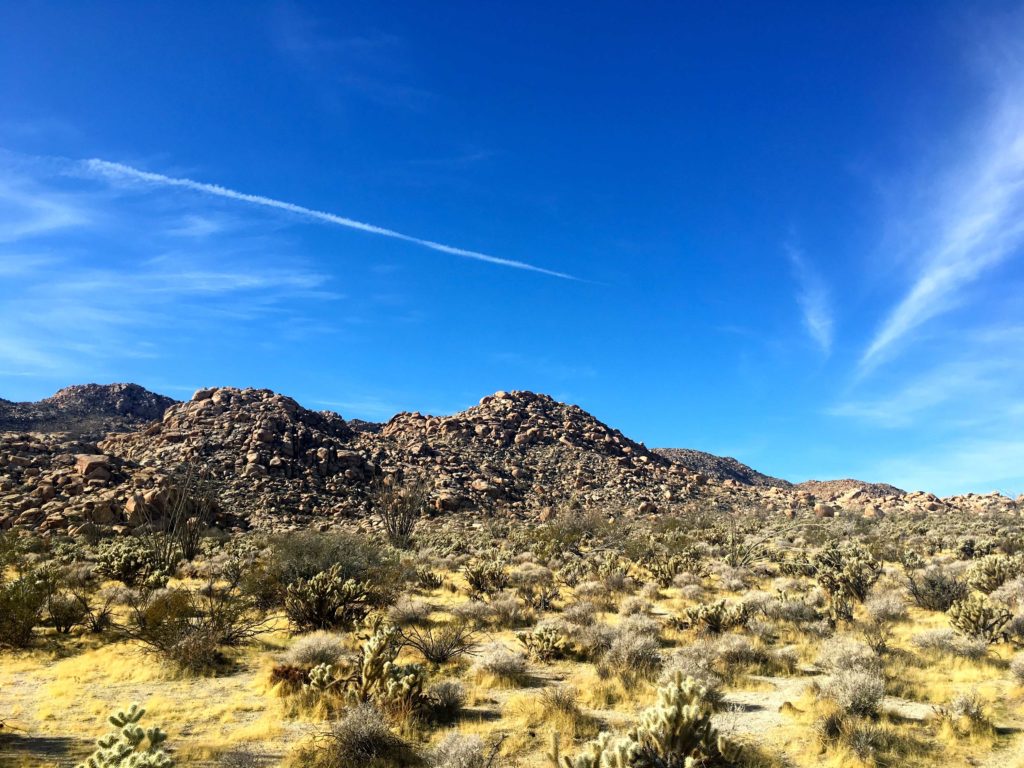
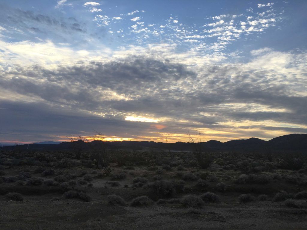
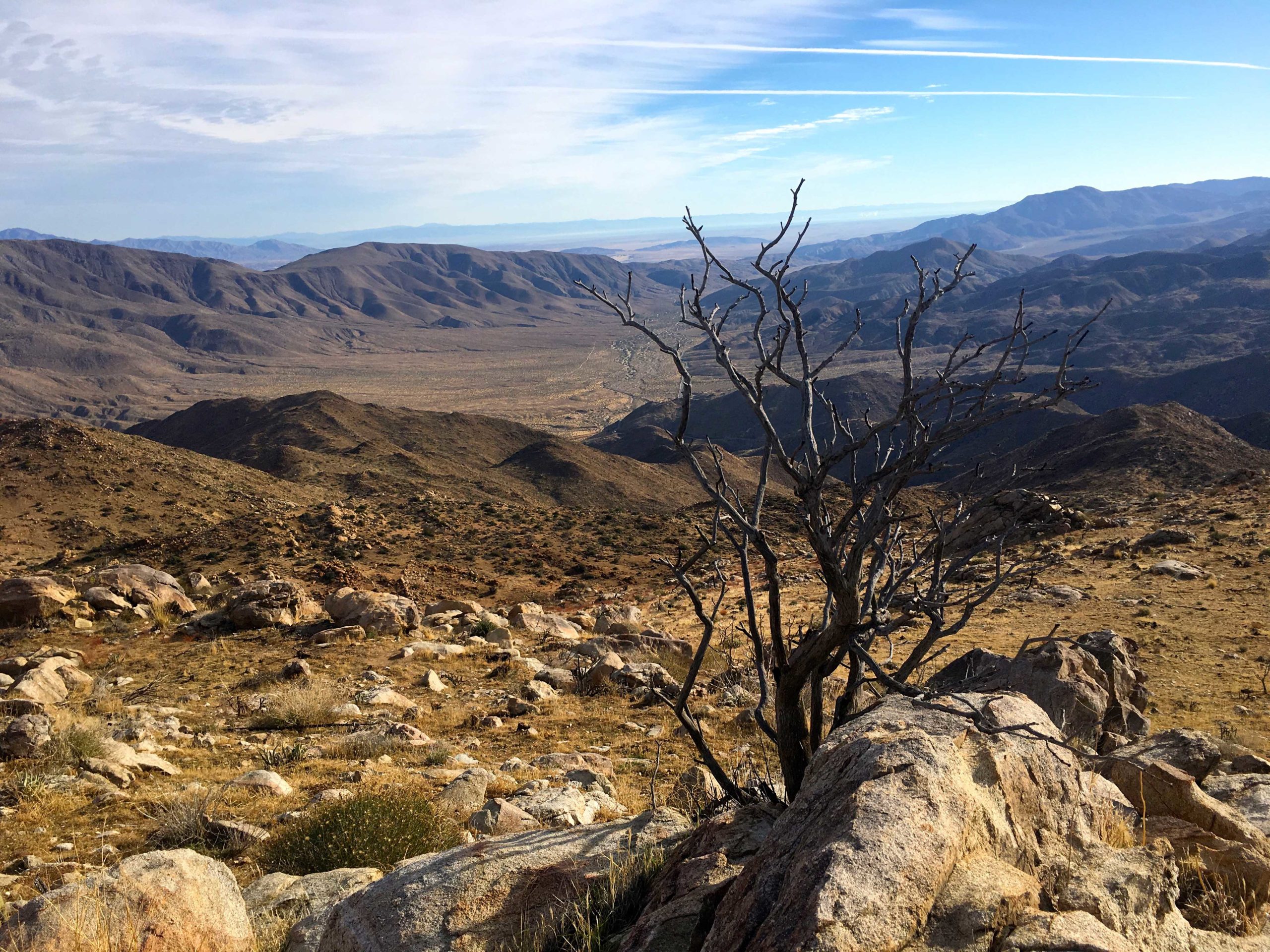
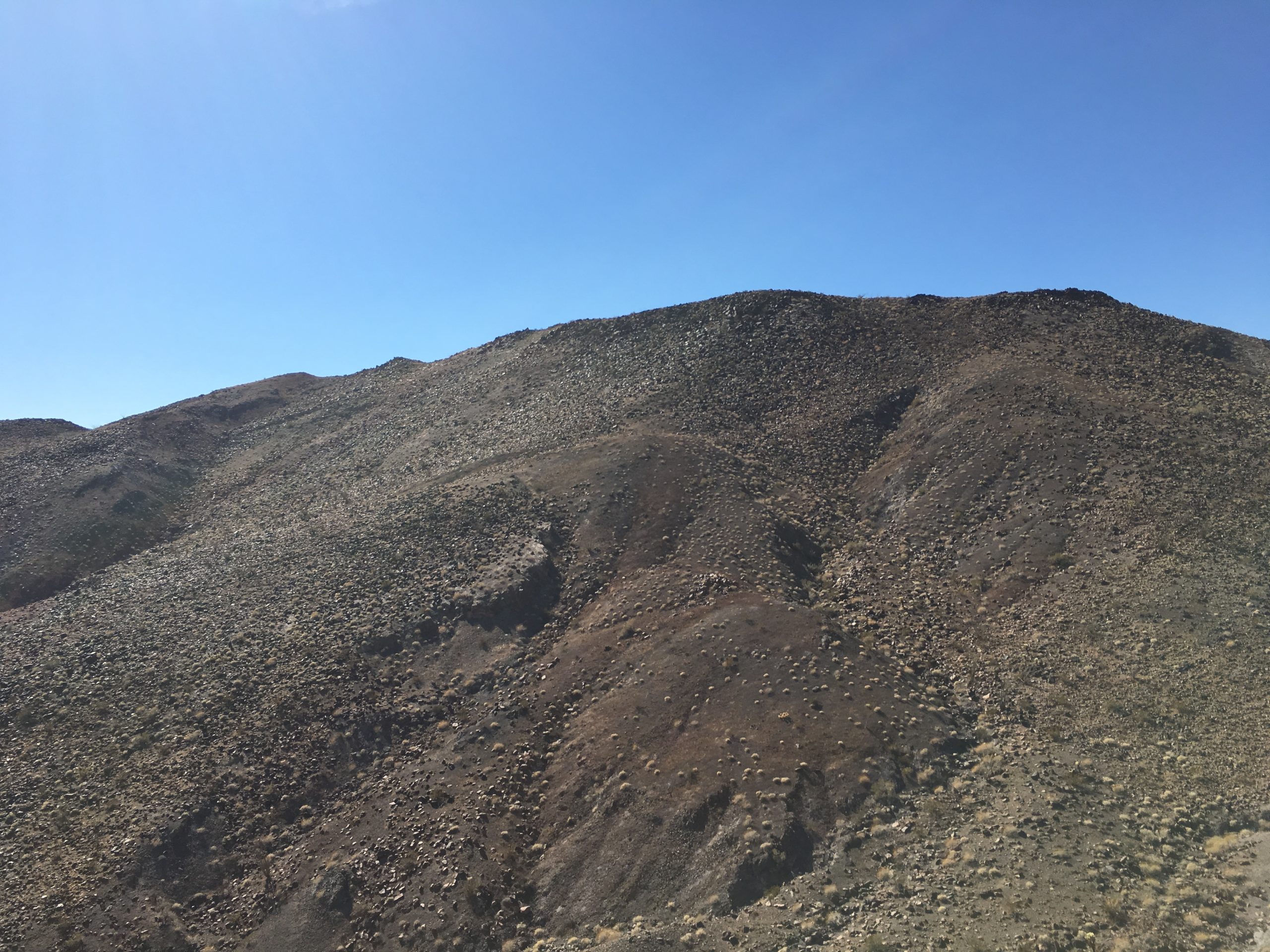
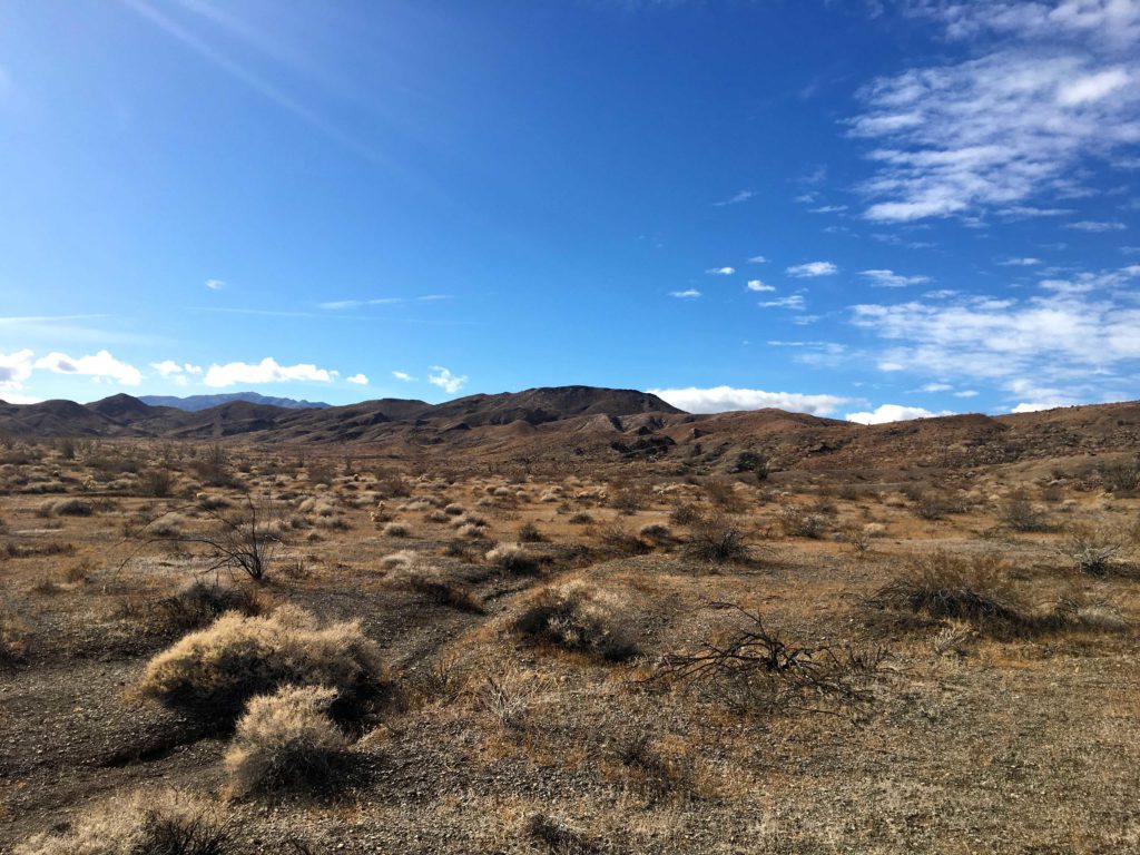
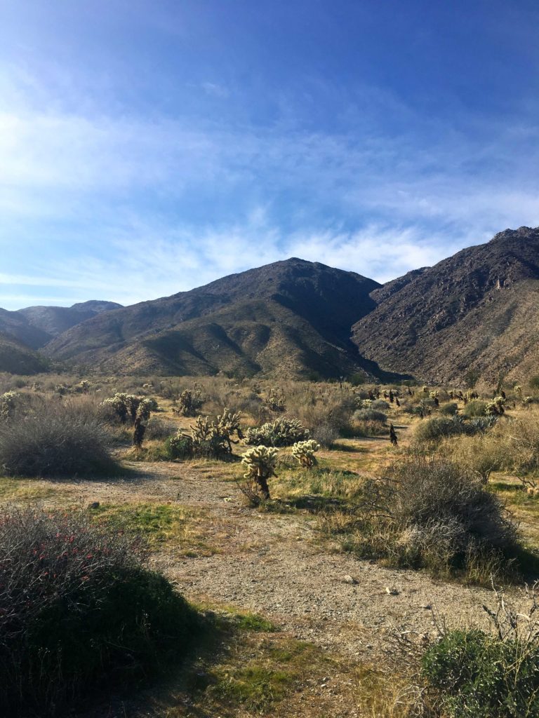
Susie Kara and I pulled into the Hellhole Canyon parking lot a bit after 7 am. Indianhead was stunning in the morning light to the north of us as we set off across the flat desert floor. Webo loomed before us to the west. There was no disguising this hike, it was going to be a steep hard ridgeline assault to the summit.
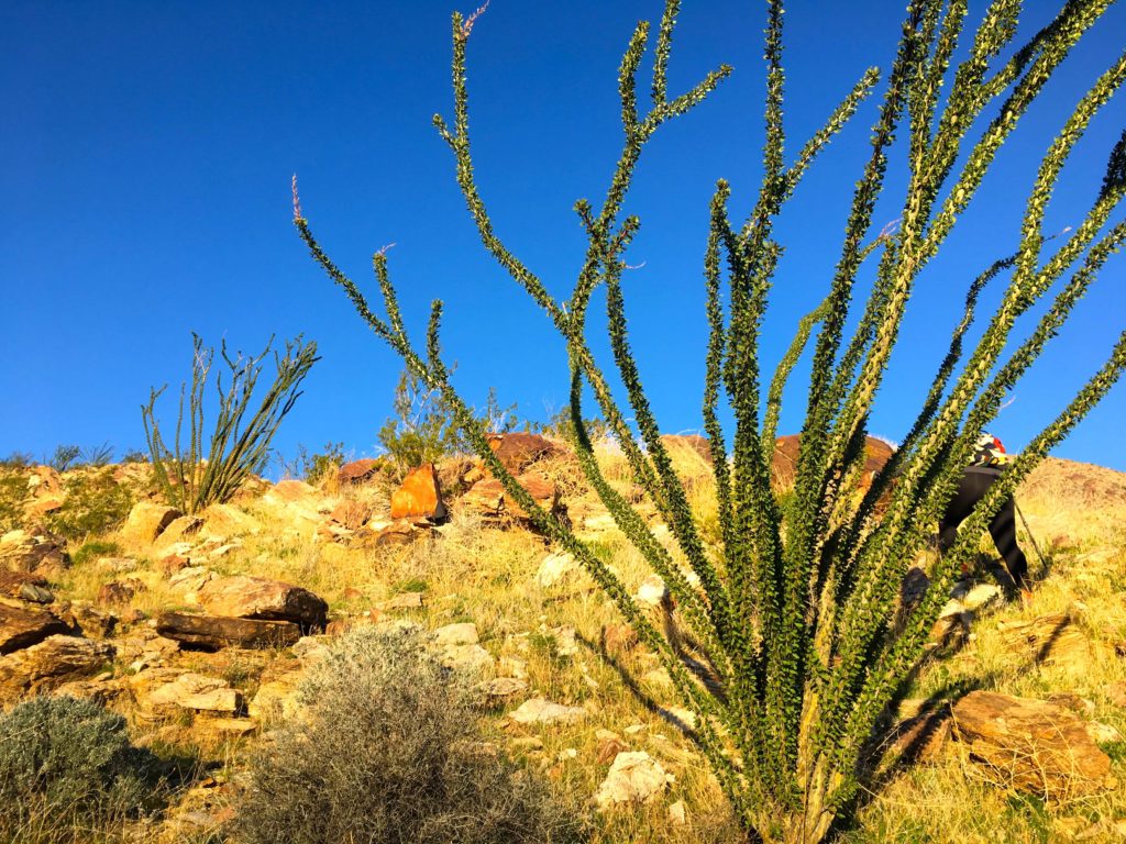
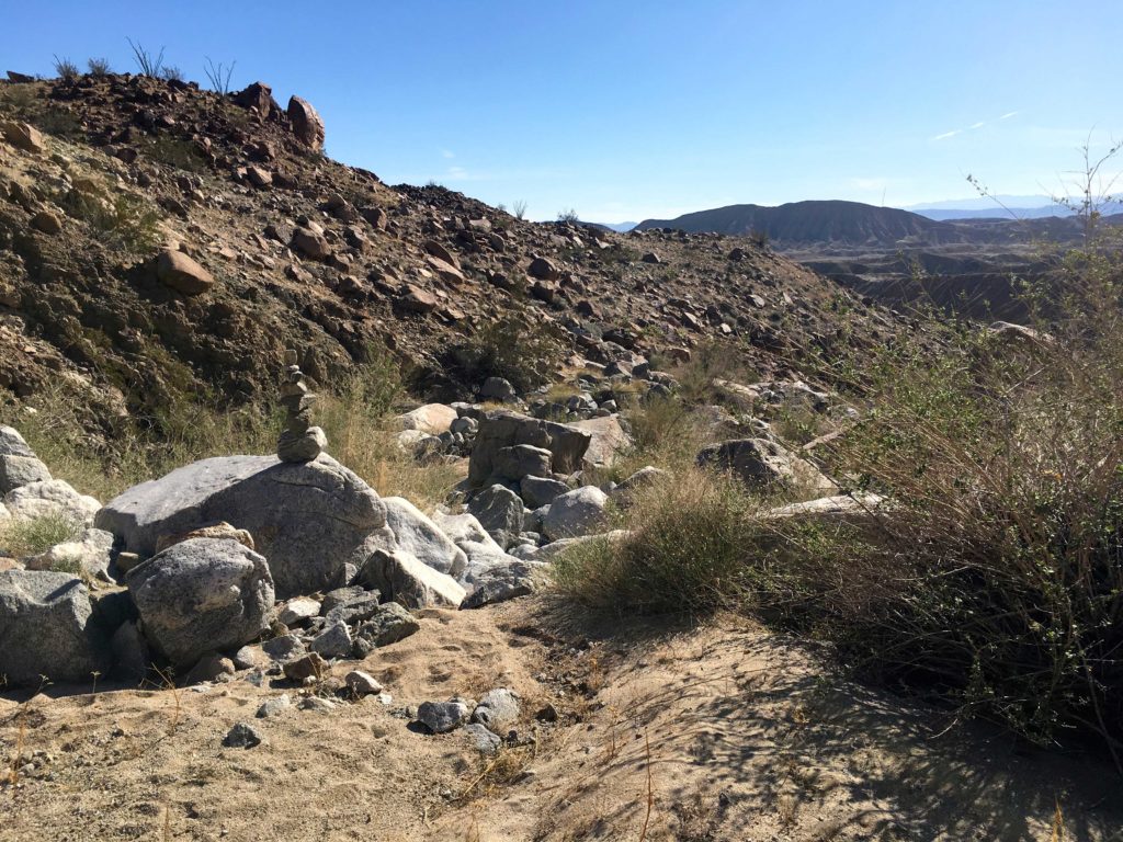
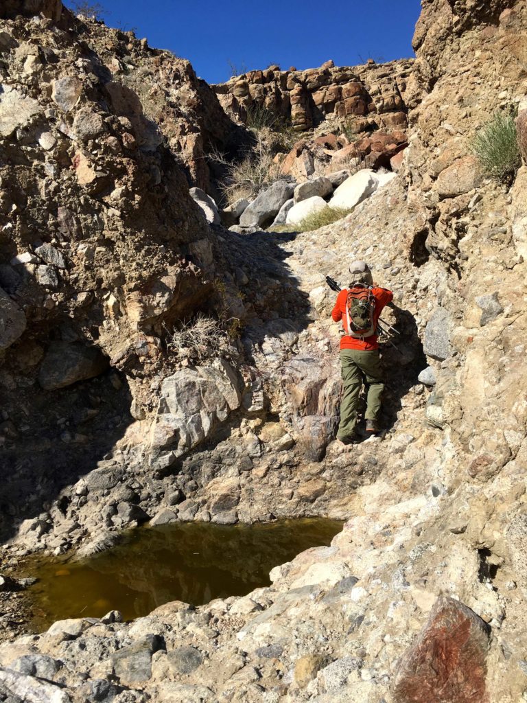
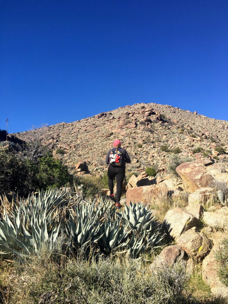
After about a mile, the ridgeline was now just off to our right. There was no trail to follow, not even a faint use trail. We would weave our way around the various cacti and rocks while pushing ourselves ever upward. I was able to take the call that I needed to, so our choice of peaks was correct.


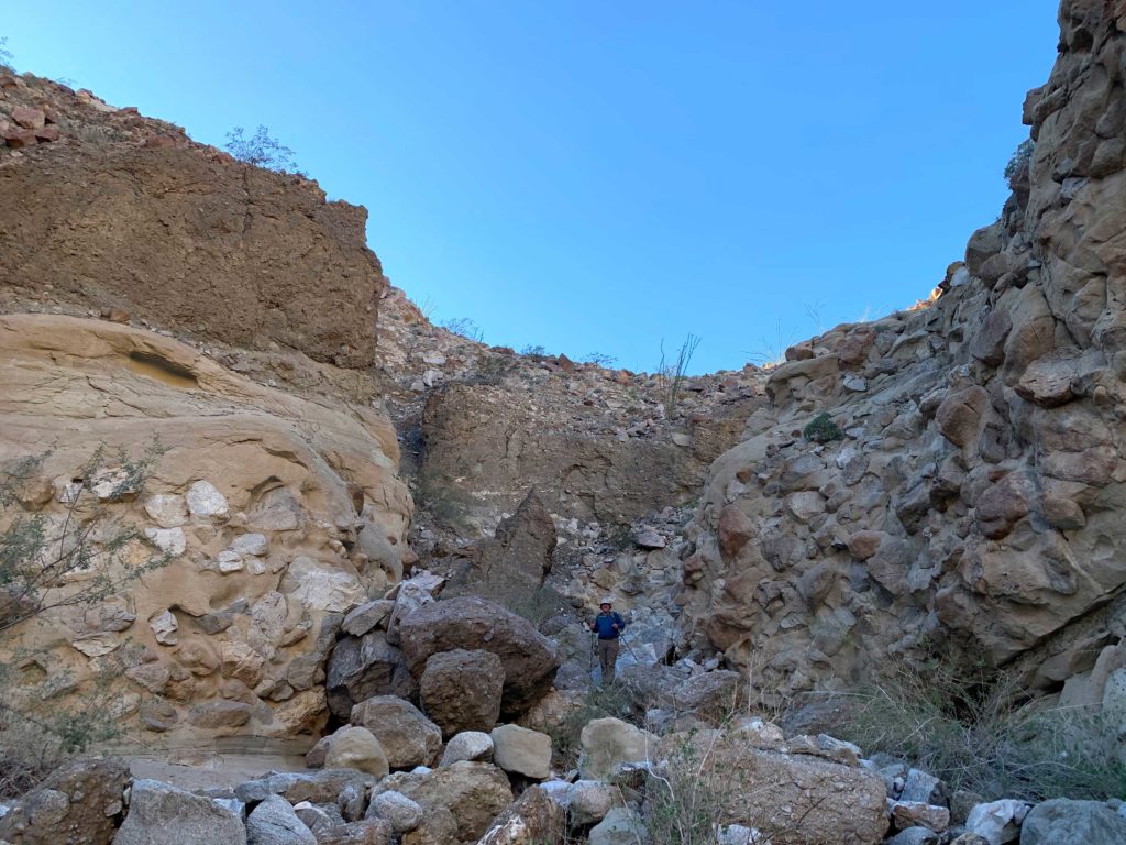
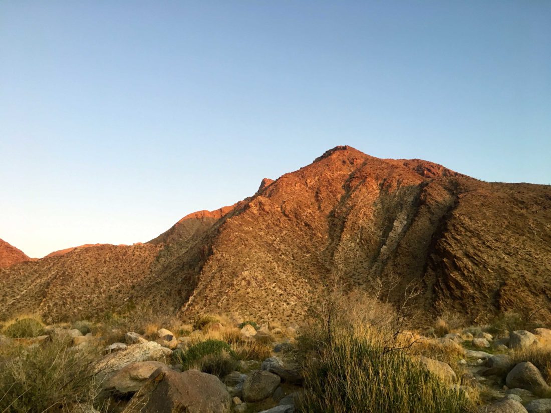
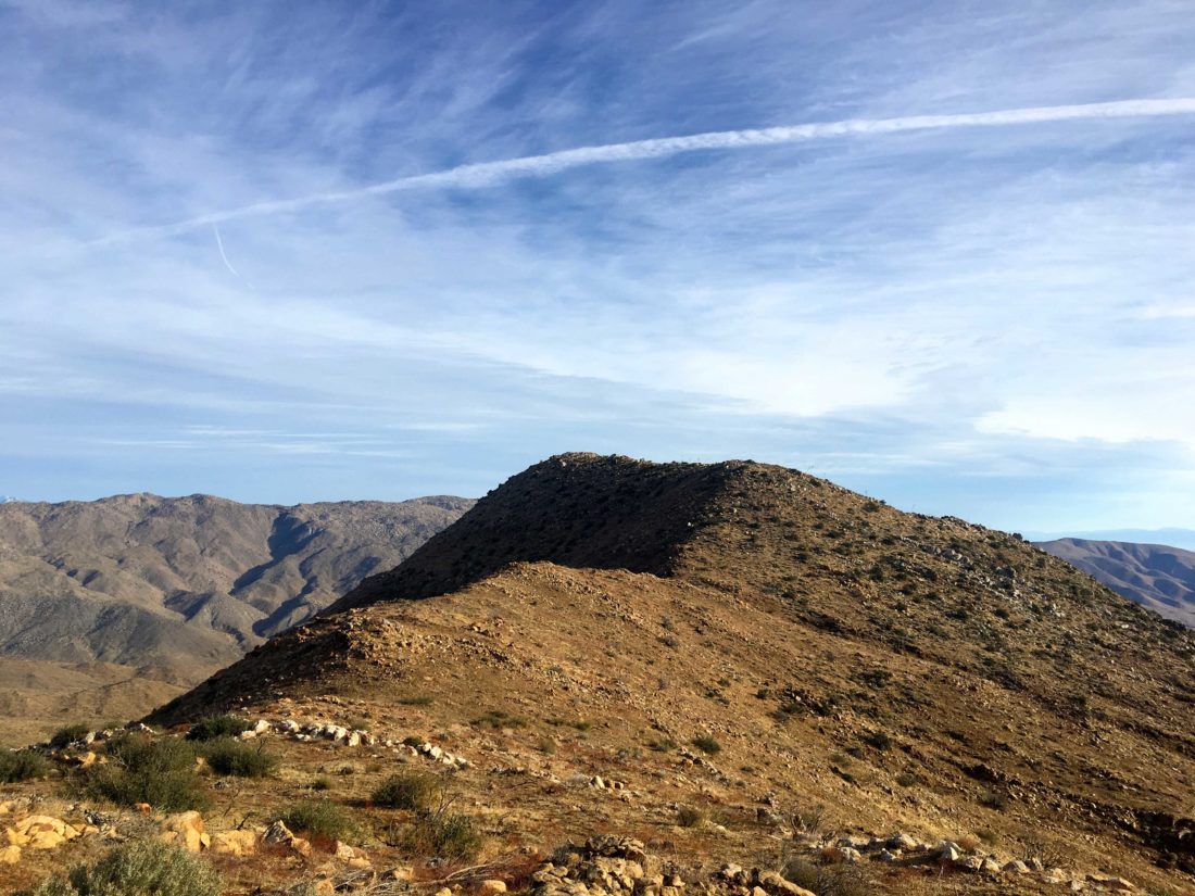
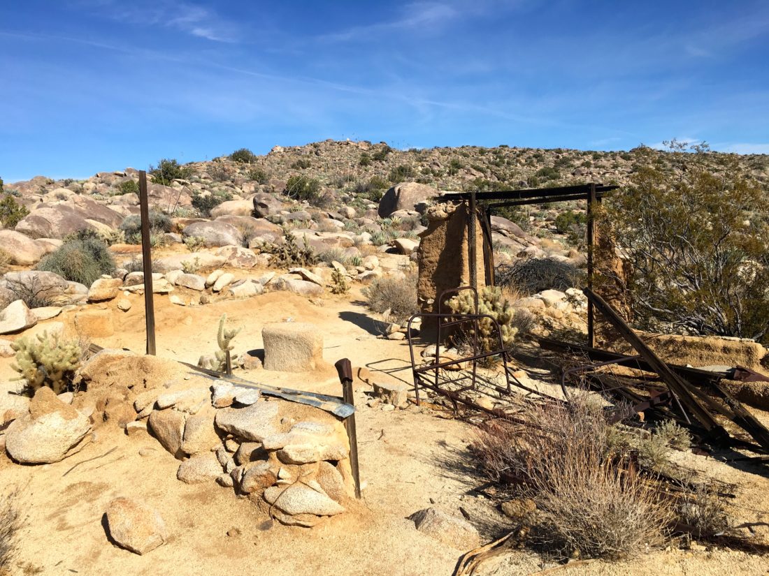
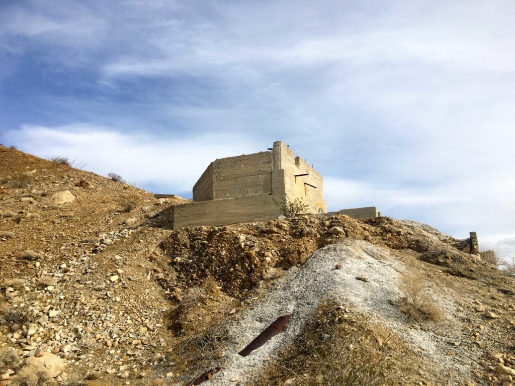
Soon we found ourselves at Ted Benchmark. I had summited this far last year with Ted Markus when Granite had a crust of snow on it. We took a break and signed the register. We had gone about 2.2 miles and climbed 1,450 feet. Now to continue our push to Webo, our real destination.


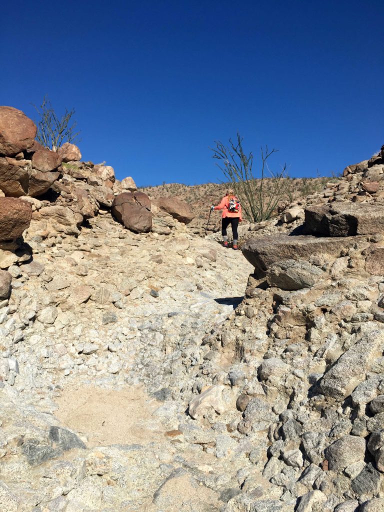
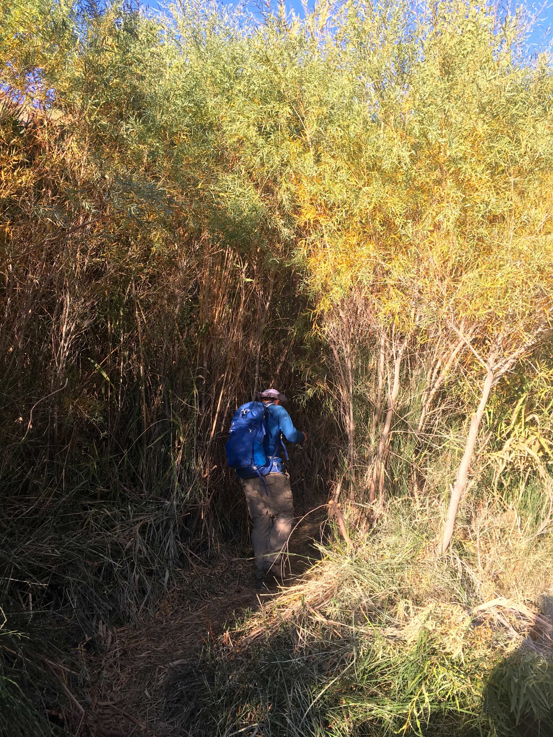
It was here that Susie had her first encounter with a cactus, and we broke out the tools to remove the spines from her foot. A bit later, she got hit again. We still managed to keep up a good pace up the steep slope, occasionally taking a short breather. It was on one of these we saw the bloodstain on my right leg — an agave had gotten me. We were certainly earning our desert merit badges.
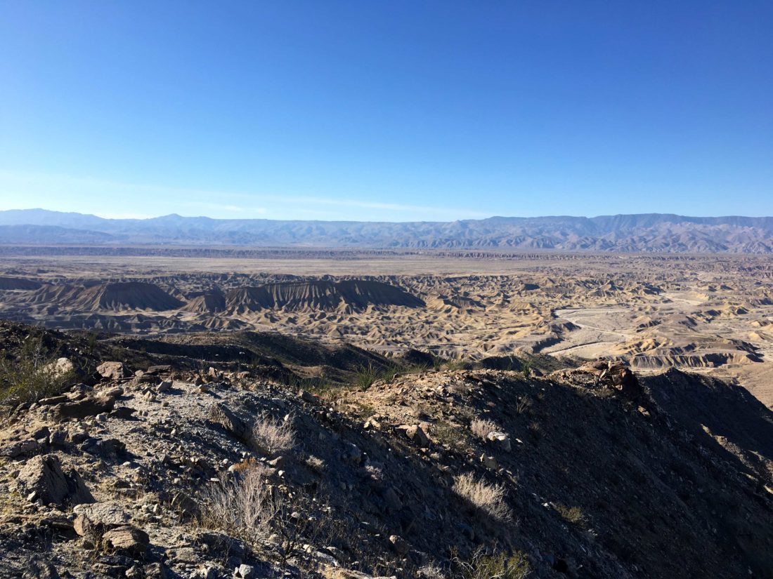
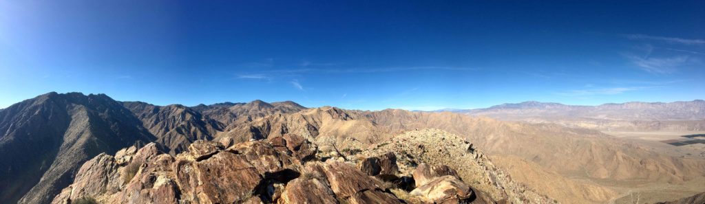
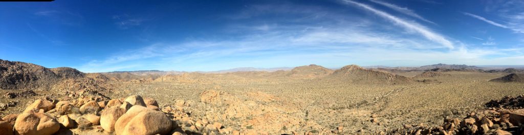
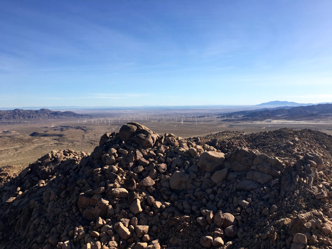
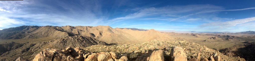
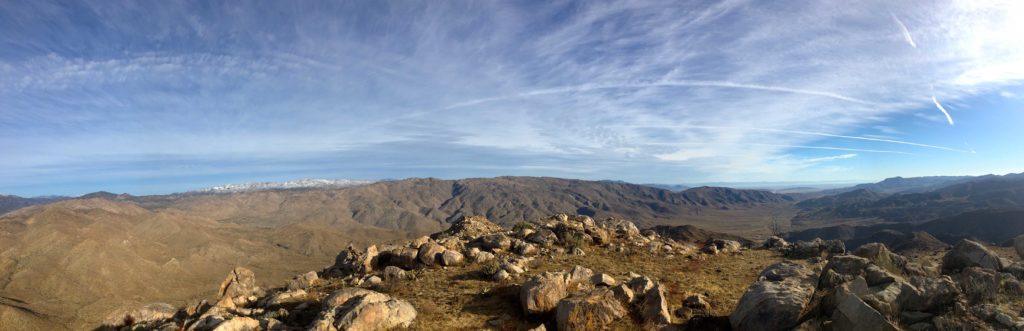
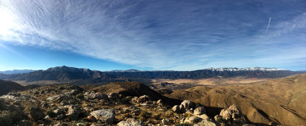
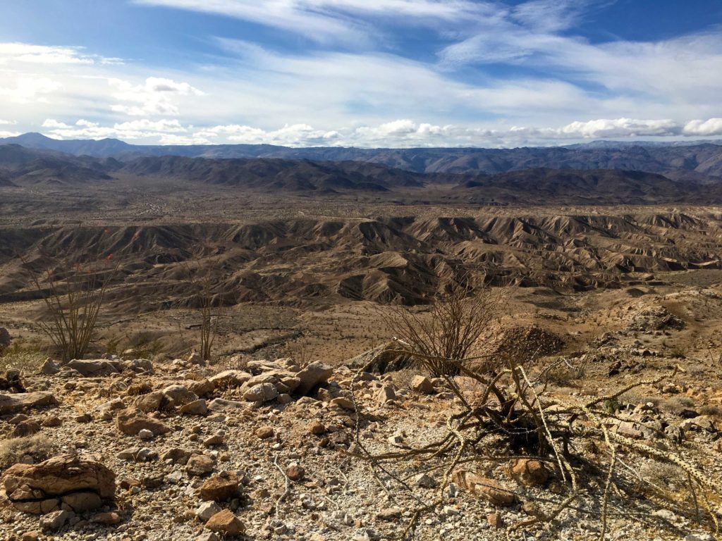
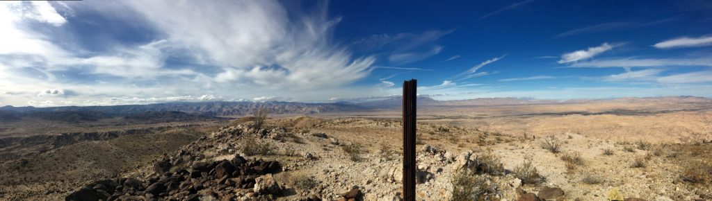
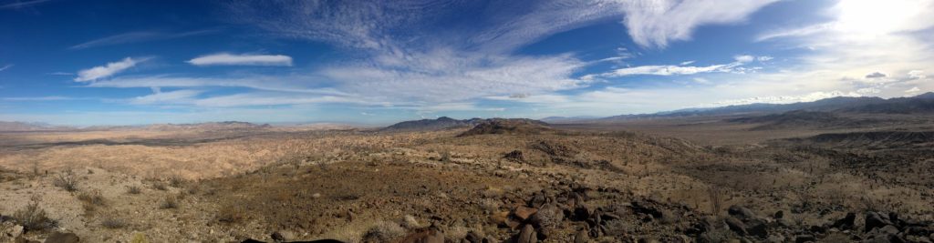
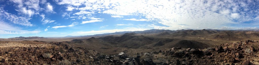
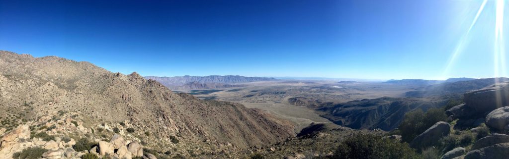
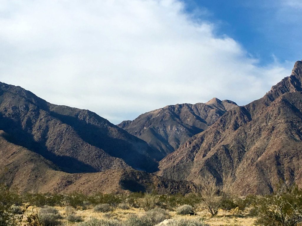
Finally, the summit was almost within reach! From reviewing previous trip reports, we knew the benchmark and register were a touch north of the highest boulders. We scrambled up the rock and basked in the view! We carefully surveyed the north and west, as several peaks on our list are out there and we hope to bag them very soon. We took a nice break, ate some food, signed the register, snapped our photos, then began our descent.


While we were picking our way down the slope, a Sheriff’s helicopter came flying past. We hoped it was not needed for a rescue. Only later did we learn that the first palm grove on Borrego Palm Canyon had gone up in flames. This was just a bit to the north of us.
We completely missed Ted Benchmark on our way down, and I got hit by two chollas. Susie had to break out the gloves to remove them. With those nasty buggers removed, we soon found ourselves back on the desert floor and then cruised back to the car. We were in shock about the palm grove. We drove into Borrego Springs for lunch, and while we drove toward the canyon, we could see the smoke plume rising in the distance.
With that aside, it was a great day for peak bagging in Anza-Borrego. That was #75 of the #SD100, and Susie’s #79 & #80!


I am an avid peak bagger, sometimes backpacker, and former sea kayaker living in San Diego. In 2019, I became the third person to complete the San Diego 100 Peak Challenge. Not stopping with that accomplishment, I set my sights on the harder San Diego Sierra Club 100 Peak list, which I completed in 2021. In addition, I have conquered several Six-Pack of Peaks challenges (SoCal, San Diego, Central Coast, and Arizona-Winter). Beyond attempting the San Diego Sierra Club 100 Peak list a second time, I am looking forward to exploring new summits and new adventures across the southwest.