Gasp Benchmark

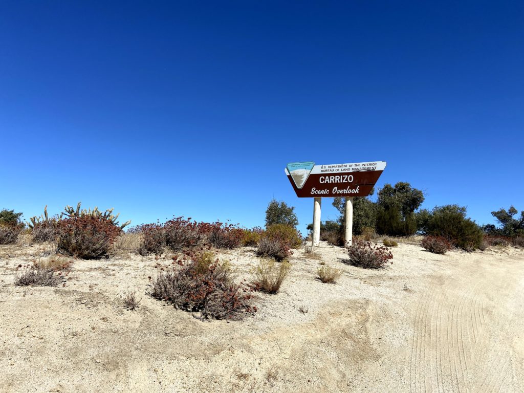
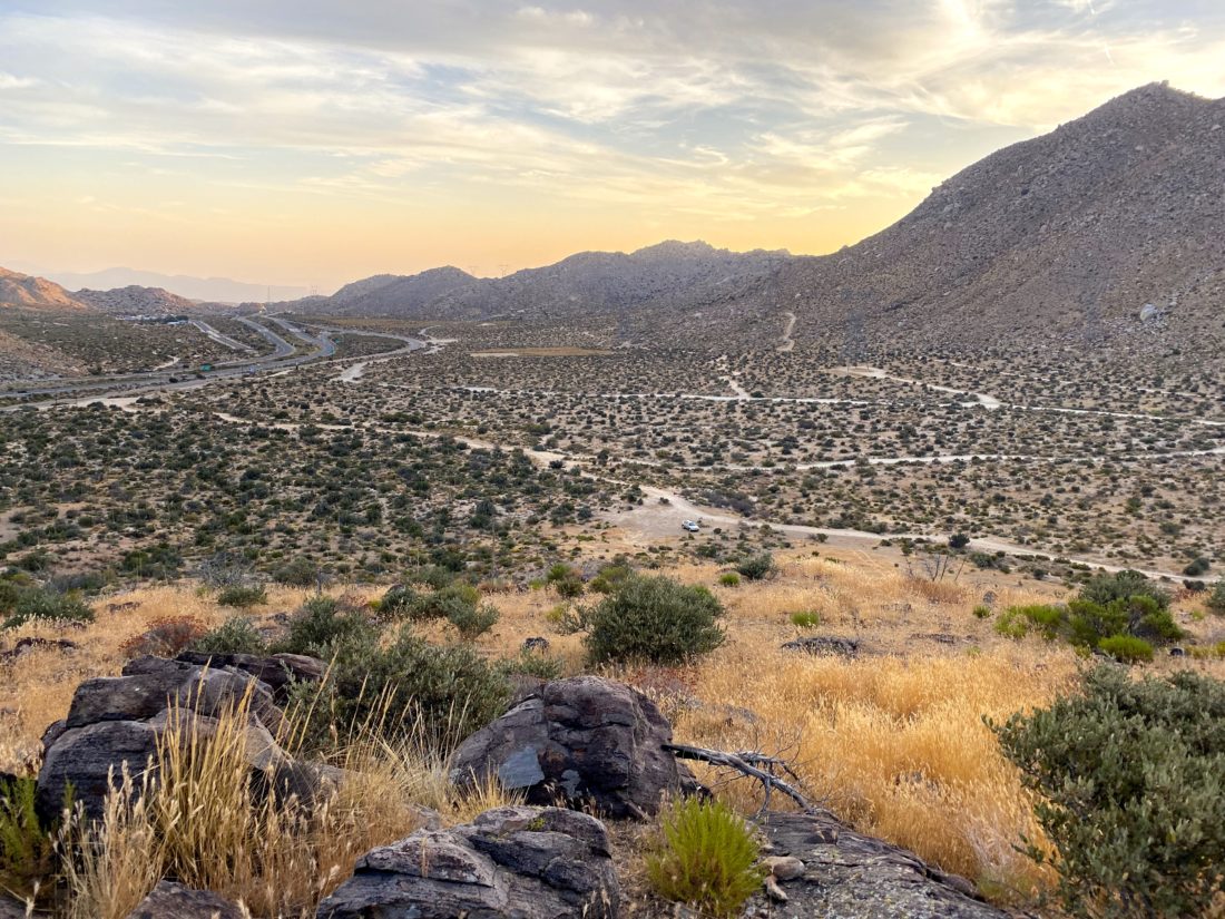
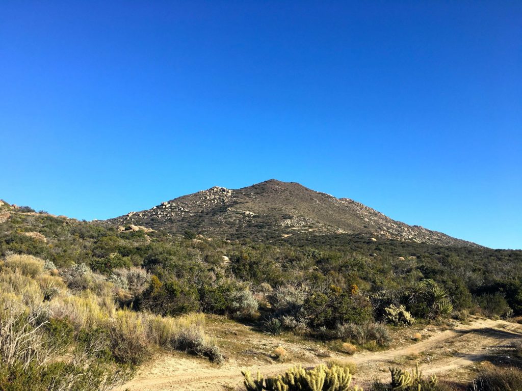
Today’s summit was going to be a special one. Gasp Benchmark was Susie Kara’s 100th peak on the San Diego Sierra Club 100 list. To honor this accomplishment, she invited a group of fellow peak baggers to join her on the 6 or so-mile hike to the summit. This peak sits to the east of McCain Valley and is one of those ‘fun’ inverted hikes. Since the distance and terrain were not too difficult, we agreed to meet at the trailhead at 9:15. As Ted and I pulled off the 8 toward Boulevard, we realized that we were quite early. So, I decided to drive all the way to the trailhead and not wait at our initial rally point. That way we would know the condition of the dirt roads. We knew the first section, the one you would use to head to Mt. Tule took some care to drive on, but the ½ mile road to our starting point was an unknown. As we reached the junction with the other road, a familiar friend was just locking up his bike and about to set off to Mt. Tule and the peaks beyond. Ted needed Mt. Tule, so I said since there was plenty of time before we needed to sync up, he should grab Mt. Tule. If he wanted to continue on with our other friend, he could feel free, or he could hustle back and catch us. Ted grabbed his pack and set off, and I drove on down to the trailhead. The road was actually in slightly better shape than expected. I found a parking spot and hung out, enjoying the views.

Soon the rest of the group arrived: Greg Gerlach, Kelly Laxamana, Larry Edmonds and his wife Leslie, Matt Hanan, Gail Welch, Susie’s dad Larry, and of course the guest of honor, Susie. We quickly started to gear up. Since we had cell coverage, I pinged Ted as to his plan, and he said he was going for the loop: Mt. Tule – Rozzie – Groan – Gasp. I wished him luck, and the rest of us set off down the jeep road toward Gasp.

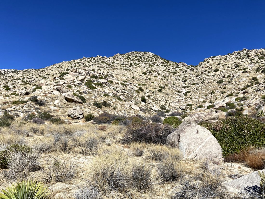
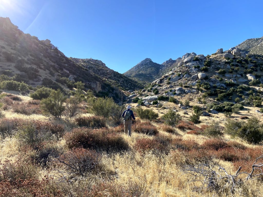
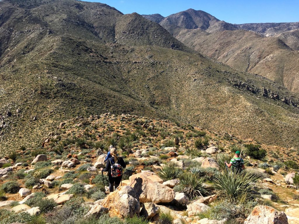
We spread out to hike in a properly socially distant manner. As we worked our way toward Redondo Spring, we chatted about various peakbagging adventures. The conversation soon turned to my remaining peaks. Greg, Matt, and Larry each offered insights on summiting them. We passed through a protected area that was created to offset the impact of the wind turbines that now dot McCain Valley. Soon the road came to an end along the ridge that we would follow down to Gasp Benchmark. On the way, we spotted a fox running through the bushes. I don’t think I have ever seen one in the wild.

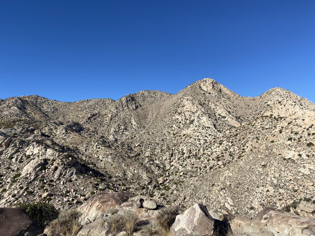
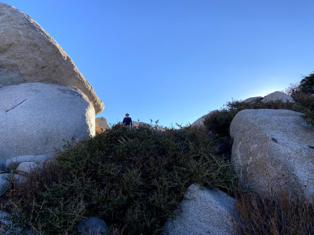
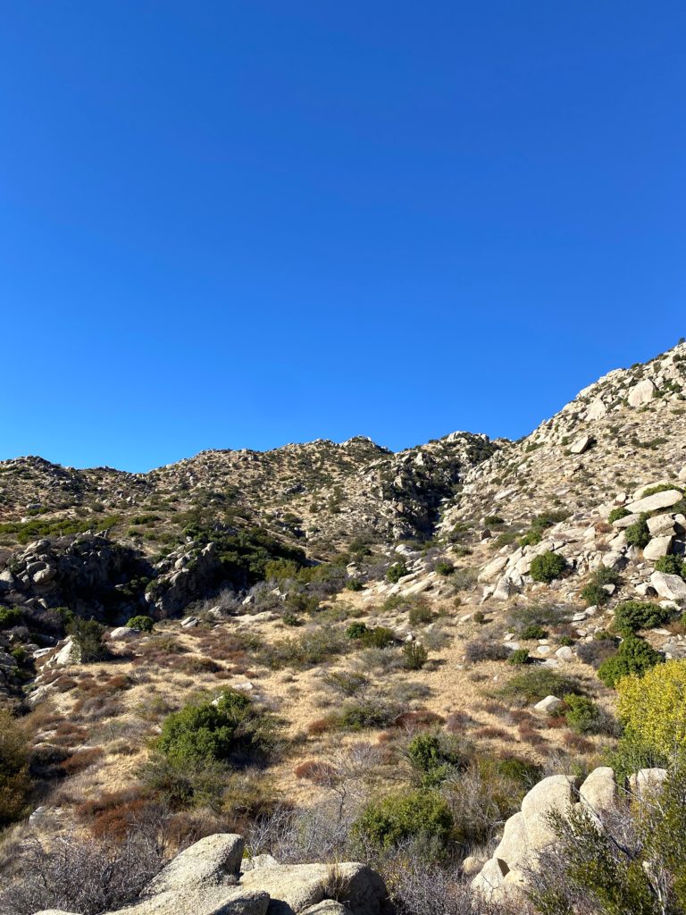
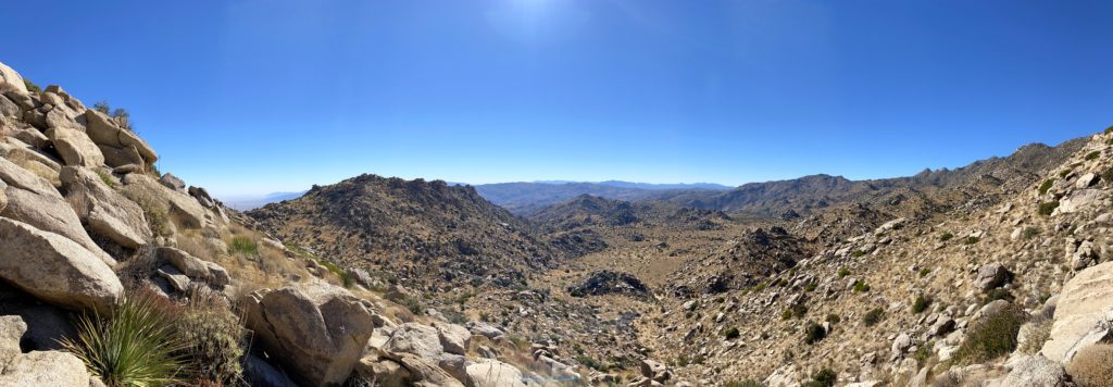
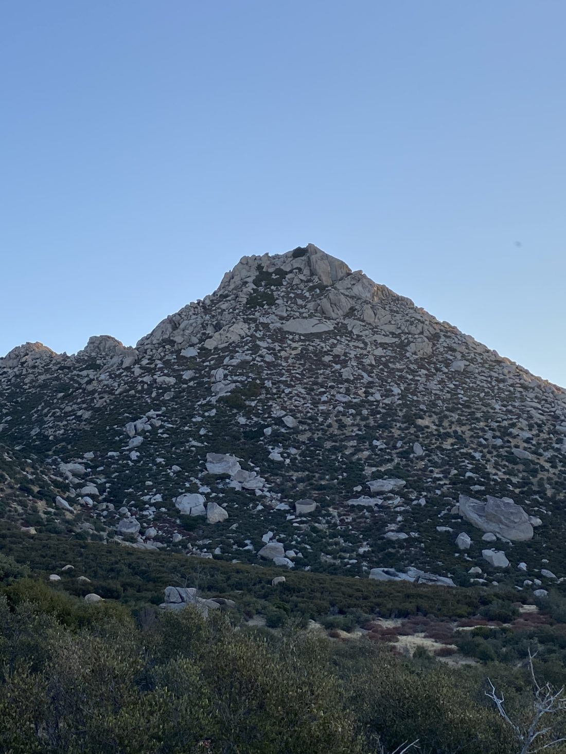
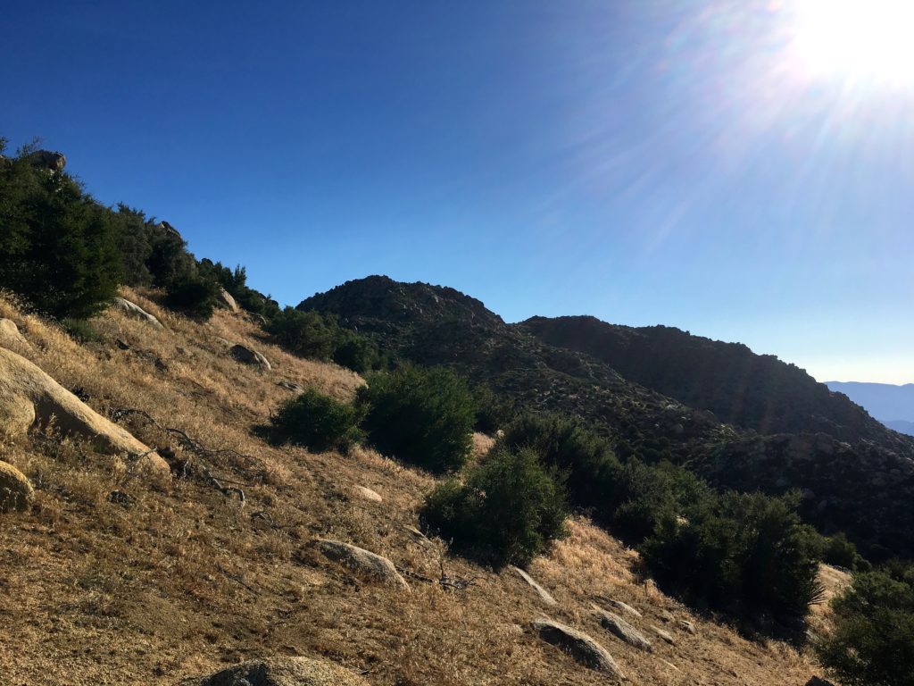
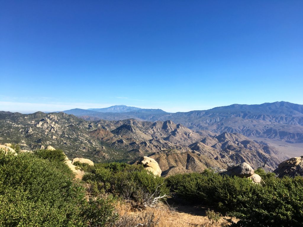
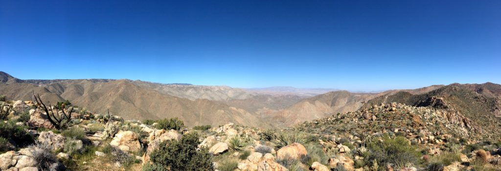
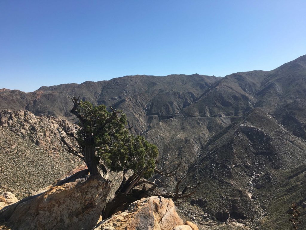
A use trail would take us most of the way along the rocky ridgeline. Atop one of the minor bumps, we looked to the east, hoping the higher and closer bump in the distance was Gasp Benchmark. Checking our map, we were confident that it was. Across the canyon, the Impossible Railroad’s track and the famous Goat Canyon Trestle were easily visible. 

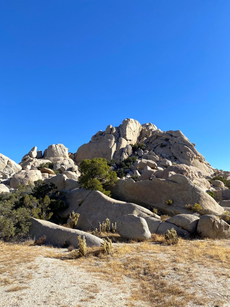
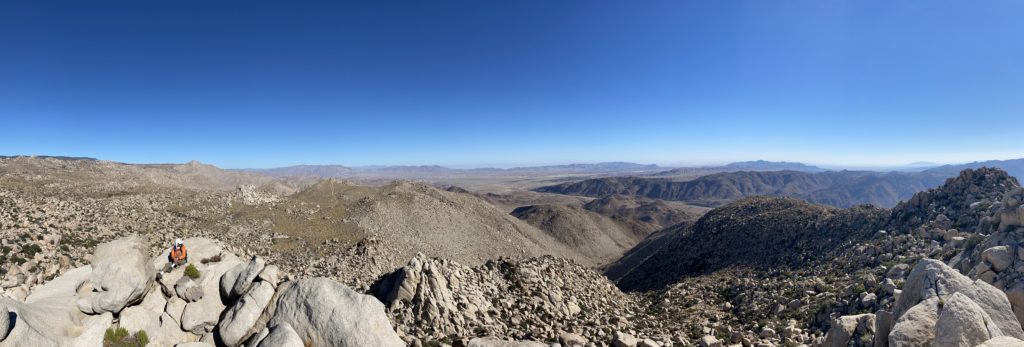
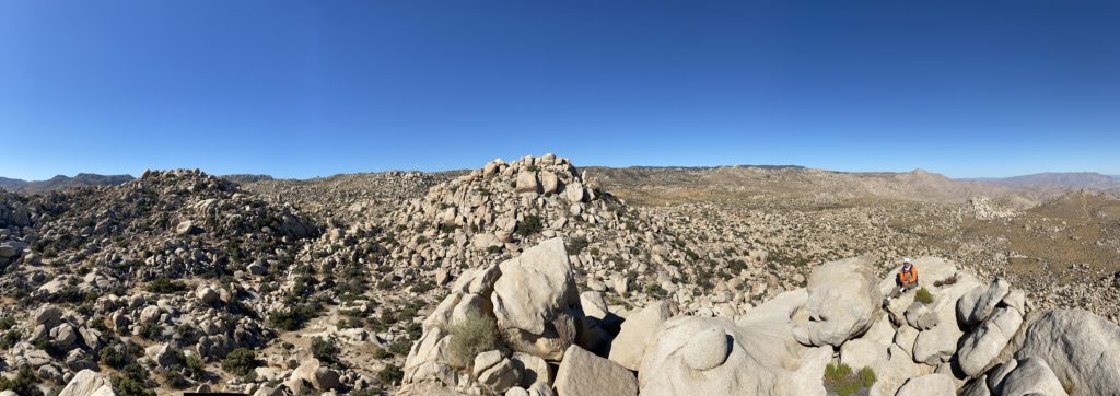
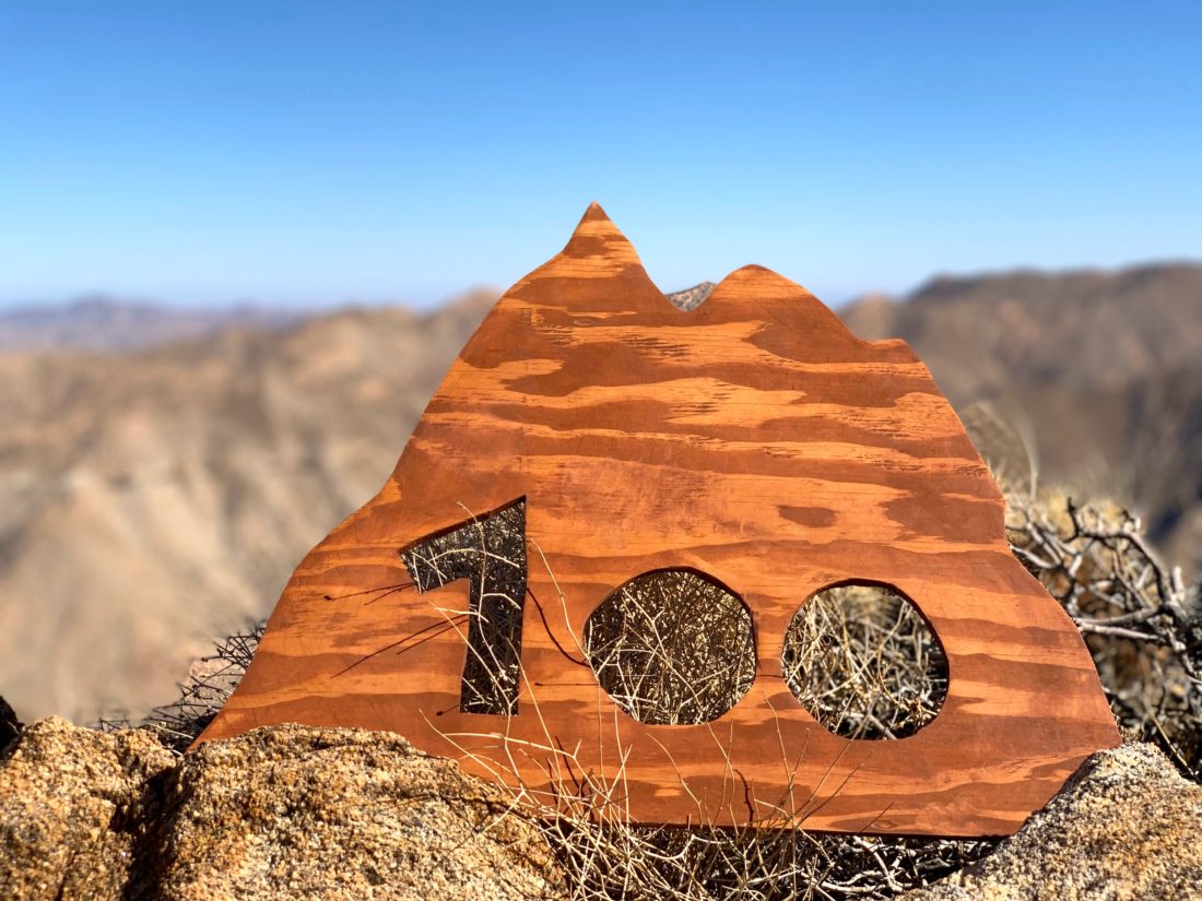
The terrain spread us out a bit more and we picked our way along the ridge, but soon we found ourselves atop Gasp Benchmark. We scoured around to see if we could find the actual mark, but just some wooden stakes and barbed wire were all that remained. We found the register and let Susie have it first. She had done it! It took a bit longer than she wanted due to Covid-19, but she had reached another major hiking milestone. Her dad had made a beautiful sign that she had tied to the back of her pack. Her smile beamed as she held it high, with the vastness of Anza-Borrego behind her. Since Greg and Larry are also 100ers, we had them also pose for photos. We kept scanning to the east, just in case we spotted our two friends on their loop, but had no success. It was time to head back, as there were pies waiting for us back at the trailhead. When Susie completed the 100 Peak Challenge, she brought a cherry pie in a Pyrex dish to the summit to celebrate. This time we had mini-pies from Betty’s Pie Saloon for each of us.

Back along the ridge we went. Just to the north, we would see Peak 3339 and Al Holden, and off in the distance, Sombrero Peak. Susie’s dad was having a bit of trouble making his way back up the ridge, so I stayed with him as we made the climb. I had to wait for Ted to complete the loop, so I was in no rush at all. I knew exactly how he felt after last weekend when I had trouble ascending from Knob Benchmark, and I was glad to be able to return the favor. We chatted off and on, depending on the terrain, but mostly just kept slowly making our way back up. Just after I let him know we were just about .2 miles away, we spotted the cars up along the road. Mission accomplished!

I dropped my gear at the car and grabbed my chair, my lunch, and a nice IPA from Second Chance Brewery. I ate my sandwich, then dove into a wonderful apple pie. Greg and Kelly had already left, as they had a bit of a drive home. We chatted a bit, wondering how our two other friends were doing on their hike. Not some twenty minutes later, they turned the corner. We were shocked and amazed. I was expecting another hour or so before I would see them. Ted looked beat. He said it was a monster of a hike. But that is his tale to tell. After some more relaxing, it was time to pack up and head home. For me, that was my 93rd peak toward the Sierra Club 100. 


Buy Me a Coffee at ko-fi.com

I am an avid peak bagger, sometimes backpacker, and former sea kayaker living in San Diego. In 2019, I became the third person to complete the San Diego 100 Peak Challenge. Not stopping with that accomplishment, I set my sights on the harder San Diego Sierra Club 100 Peak list, which I completed in 2021. In addition, I have conquered several Six-Pack of Peaks challenges (SoCal, San Diego, Central Coast, and Arizona-Winter). Beyond attempting the San Diego Sierra Club 100 Peak list a second time, I am looking forward to exploring new summits and new adventures across the southwest. 
Collins & Knob Benchmarks

Back in March of this year, just before the Covid-19 lockdown started, Susie, Matt, Ted and I set out to summit Collins and Knob Benchmarks. Unfortunately, we encountered a closed gate and opted not to continue to our planned starting spot. Instead, we decided to hike up Palomar. By the time we all felt safe enough to hike together again, the desert hiking season had ended. So, we waited for the start of the next desert hiking season. In doing our research on these peaks, there are two general routes to them; one that passes through the Schoepe Scout Reservation from Lost Valley and one that approaches from the desert floor via Salvador Canyon. Since Susie only needed 3 more peaks to complete her San Diego Sierra Club 100, she was very motivated to climb these. Matt had actually climbed both of them back in May by himself. One thing we did learn was that we would need permission from the Boy Scouts to access the route we were planning to use. With luck, Matt had developed a relationship with the Lead Ranger for the camp and was able to secure access for us. This route does cross their private property, so if you are considering attempting it from this direction, please seek permission first.

In addition to the four of us, Alberto was able to join in. He had recently finished the 100 Peak Challenge and was also starting on the Sierra Club list. Since he has a 4×4 Jeep, if we had opted to try from Salvador Canyon, we would have needed it to reach the trailhead. I am afraid the trusty Outback would not be capable of the journey. We met at the boundary of the BSA property shortly before 6. Matt was already there, as he had camped overnight. We quickly got ready in the predawn light, and while it was a brisk 40°F, we knew once we got moving we would be fine. We slipped through the gate and headed down the road for about 1.25 miles to what other trip reports referred to as the “Big Rock”. As we made our way down the road, the eastern sky began to glow as the sun started to rise. I wish we could have driven in further and saved some time.

We quickly reached the “Big Rock”, and now our adventure would truly begin. The first part of the hike would take us through a mixture of light brush, down various washes, and over gulleys. Since this is an inverted hike, we all knew that we would have to work our way back up upon our return. Our route did encounter one dry fall that required us to go around but beyond that, there were no real obstacles in this section of the hike. Our next waypoint was an old firebreak that would provide an easier path for us. Matt guided us there with no issues. It was nice not having navigation duty for a change. As we continued to work our way eastward, familiar peaks stood out to our south; Hot Springs Mountain, Pike, San Ysidro East, and eventually SquareTop. Rather than following Greg Gerlach’s track to the north of an unnamed bump, Matt followed his previous route to the south. This hike was going to be a lollipop hike, with this saddle serving as our reconnection point. After a short break for some fuel, Matt, Ted, and I each stashed some water for our return. We would now start to get our first views of Collins and Knob sitting below it.

Our next waypoint was Peak 4695, but first, we had to go past a minor unnamed bump. We had some side-hilling that was not fun for a bit as we made our way toward it. Looking back at both routes on Google Earth, I am curious if we reconnected with Greg’s route near this point and gone over that bump, would it have been easier?

Once atop 4695, we took another break while grabbing a snack, signing the register, and soaking in the views. Collins stood about a mile to the east along a nice ridgeline. There were two steep sections that needed to be climbed before we reached its summit. Along the way, I slipped and cut my hand slightly. Dr. Ted was able to patch me up. I had just taken my rock gloves off at 4695. Oh well, lesson learned.

I huffed and puffed my way up toward the summit. Matt sat atop the actual summit block, while the four of us rested below. I ate some food and took a well-earned break. I showed Alberto what would have been our route had we come up from the desert floor. We signed the register, but the benchmark was not immediately found. Matt scampered around a bit and found it on the east side of the summit block. I really did not feel like scaling up and over it, but there was an easy path along the north side, so I was able to get to it and snap my photos. I knew that the real challenge of this hike was about to begin.

When I said Knob was below Collins, that was a bit of an understatement. To reach it, we would have to descend 1,400 feet in less than a mile down a rocky and sandy gully. Pictures do not do justice to its steepness. We retraced our route to the saddle just below Collins, then headed down. The descent was hard, but not as crazy as we feared. Once at the bottom, we discovered some discarded clothing and a Home Depot bucket. We have no idea why or even how they were out there.

The ascent of Knob was not going to be a picnic either. The direct ascent from the north appeared to be a bit difficult. Keith Winston took that route and said it was tough. He had mentioned that the west side was more approachable. We found a nice animal trail that took us to the west side of the peak. From there it was a straight-up slog to the summit. The average slope was about 35%. The summit was small, with enough room for the five of us to spread out.

Palm and Elder, two of my remaining peaks stood directly to the east. This peak was our halfway point of the hike. I tried eating my peanut butter and jelly sandwich, but it was just not happening. We signed the register and took our photos. I was nervous about our return, as we had about 6.5 miles back to our cars, and a lot of elevation to regain. We scouted out the basic route that we would follow back to the saddle where we had cached our water. Thankfully, the terrain did not look as challenging as that descent from Collins but was still imposing.

We headed down from the summit, being mindful of our remaining daylight. One of the disadvantages of doing it in late November versus mid-March was the amount of daylight we had. Our goal was to reach that saddle and then the firebreak before dusk. As we began working our way up, I really started to fade. About every quarter of a mile or so I would have to stop and rest for a bit, and I was getting worried. The rest of the group kept pushing me forward. Matt graciously took some of my pack weight off me to help. I have to admit, I seriously gave consideration to using my rescue beacon, as I did not want to put the rest of them in danger. Somehow, I found the strength to push on. Reflecting upon this a few days later, I think if we had done this with another hour of daylight, we might have eased our pace, and I might have had more gas in my tank for this section. Once we had reached the saddle, and the 1,600 feet of gain in only 1.75 miles were behind me, my energy and spirits did pick up.

While we still had almost 4 miles to go, and 1,300 feet of elevation still to cover, I was mentally feeling better. We had all mentioned at one point being a bit nervous about this hike, I guess some of that fear did get to me. I stayed focused on continuing, calling out to Ted to grab a photo once in and while. I was now feeling guilty about forcing the rest to spend more time hiking in the dark than planned. Soon, the sun cast its final glow across the desert behind us, offering a beautiful sight. We still had about two hours of hiking left. The moon was up, so we had some slight assistance as we continued on.

Our headlamps bounced along through the brush, and Matt and Alberto led the way, with Susie close behind. I stayed locked on Susie, and Ted was my rear support. The firebreak was not too bad in the dark, but we knew we still had that section from the firebreak to the road to traverse. Once we left the firebreak, we actually did quite well through that section. We would regroup every 10-15 minutes or so, in order to not spread too far apart. I was doing better, so it was now just a matter of finding our way back to the road and the final 1.25 miles along it to the car.

Once we got to that dry waterfall again, I knew we were getting close. Soon, Ted spotted the road in the distance and we knew we were almost out of the cross-country section of this adventure. At the road, we all breathed a sigh of relief, and I thanked the group again for helping me through that. It certainly was one of the most challenging things I have done so far. I took back my fleece from Matt, as it was getting chilly, and set off back up the road. Although we were back on a road, we still had 400 feet of elevation to cover. Ultimately, our cars came into view and our epic journey had ended. With the summitting of Collins and Knob, I now have just 8 more peaks to climb to complete the list. For Susie, those were her 98th and 99th peaks. Next weekend, we should be climbing Gasp Benchmark for her 100th! The stats for this hike according to Ted’s GPS watch were: 14.2 miles in 13:10 hours, with 5,260 feet of elevation gain/loss. Again, I am very thankful for my hiking partners who helped me conquer these peaks.


Buy Me a Coffee at ko-fi.com

I am an avid peak bagger, sometimes backpacker, and former sea kayaker living in San Diego. In 2019, I became the third person to complete the San Diego 100 Peak Challenge. Not stopping with that accomplishment, I set my sights on the harder San Diego Sierra Club 100 Peak list, which I completed in 2021. In addition, I have conquered several Six-Pack of Peaks challenges (SoCal, San Diego, Central Coast, and Arizona-Winter). Beyond attempting the San Diego Sierra Club 100 Peak list a second time, I am looking forward to exploring new summits and new adventures across the southwest. 

San Ysidro East Peak (attempt)

Today was to be an attempt at summiting San Ysidro East Peak. While it had been part of the plan when we did the crossing back in February, I had a blister that was bothering me, so I passed making the summit and continued onto The Sirens. Since I needed this peak to complete the Sierra Club San Diego 100, I knew I would have to make my way back.

Ted and I set off just past 6:30 from what is now a very familiar turn off on Lease Road in Ranchita. It was a brisk 40 degrees as we made our way up the old jeep trail. Once we reached our first saddle, the sun greeted us. We stowed our jackets and began heading toward a saddle just south of The Thimble. We were following the same basic route I had used for the first attempt back in February.

Once we reached this saddle, I outlined our basic route for Ted, pointing out various landmarks. The plan was to head directly to San Ysidro East Peak, then on the return maybe hit Goat Benchmark. I plotted a route that would bypass the dip down to Goat Benchmark and continue along the gully that we had been following. Along the way, we saw patches of snow and one animal skull.

Unfortunately, the route I had plotted increased in difficulty. Nothing too extreme, but certainly not as easy as we had been traveling before. Once my track rejoined our February track, we both agreed the other route was clearly the right path.

Note: Don’t return up that gully!

We began working our way down into Hellhole Flats. The day was warming up. We also were keeping an eye out for Matt Bennett, as he was out working on some of the other nearby peaks. We never did see him, but it was a long shot anyway.

We reached the base of the route to the summit of San Ysidro East and took a break. The temperature did give us concern, as we knew we still had a 5-mile hike back and up. I knew the ascent was going to be steep and hard. We opted to ascend on the left side of the gully. Soon, we found that this was a poor choice. It was more bouldering than we thought. After about 400 feet of elevation gain, with about another 900 or so to go, we stopped and took stock of our situation. Between the effort to summit, plus our return and our remaining water, we decided to abort our summit attempt. We crossed the gully to try descending along that side. It was certainly easier terrain. We did stop and look up and did consider it once more. We ultimately decided to play it safe and descend. Next time, I will follow Greg’s route without question.

We were bummed, but comfortable with the choice. Our return route was a bit south of our initial route. I was also scanning alternative exit options for the next attempt. Part of the reason I wanted to do this hike as an out and back is I did not enjoy the descent from The Sirens to past Kay Benchmark. I was scanning the route down to Webo benchmark and using it as an exit route for the next attempt.

We found a nice bit of shade and had our “summit” lunch. Now we would begin our second climb, back out of Hellhole Flats. We decided to go for Goat Benchmark as we were feeling the miles and heat some, but we also knew that most of this route was what we’re going to use to bypass the tough section we had used at the start of this adventure.

Goat Benchmark

We climbed up to the small plateau, then headed south. Scrambling up, we took a nice break on the higher bump. While Peakbagger has this spot as the peak, but the benchmark and register are on a bump just to the south. Knowing we still had over 1,000 feet to climb over the next 1.5 miles, this was good enough.

Our climb was slow and steady, as we were conserving our water. The Thimble served as our lighthouse as we followed some nice animal trails up the gully. We did stumble across another skull along the way. We reached the saddle just as I drank the last of my 2.5 liters of water.

Now it was just a short descent and the mile or so back to the car. Along the way, we met some locals out for a mountain bike ride. We chatted a bit and they were impressed with our adventure. Soon we were back at the car, where we quickly guzzled down the drinks we had stored. A stop at the Montezuma Valley Market was also in order for some cold refreshments before the drive home.

Although we did not reach our goal, it was still a good hike and one to learn from. All told it was 12.24 miles in 9:50 minutes, with over 3,800 feet of gain (although Ted’s watch had recorded 4,000 feet). When I try again there will be a few changes: wait for cooler weather, more fluids, and follow Greg’s route toward Goat, and the Summit. I think I also will not do it as an out and back, but as a point-to-point via Webo and Ted benchmarks.


Buy Me a Coffee at ko-fi.com

I am an avid peak bagger, sometimes backpacker, and former sea kayaker living in San Diego. In 2019, I became the third person to complete the San Diego 100 Peak Challenge. Not stopping with that accomplishment, I set my sights on the harder San Diego Sierra Club 100 Peak list, which I completed in 2021. In addition, I have conquered several Six-Pack of Peaks challenges (SoCal, San Diego, Central Coast, and Arizona-Winter). Beyond attempting the San Diego Sierra Club 100 Peak list a second time, I am looking forward to exploring new summits and new adventures across the southwest. 

Peak 3339 & Al Holden

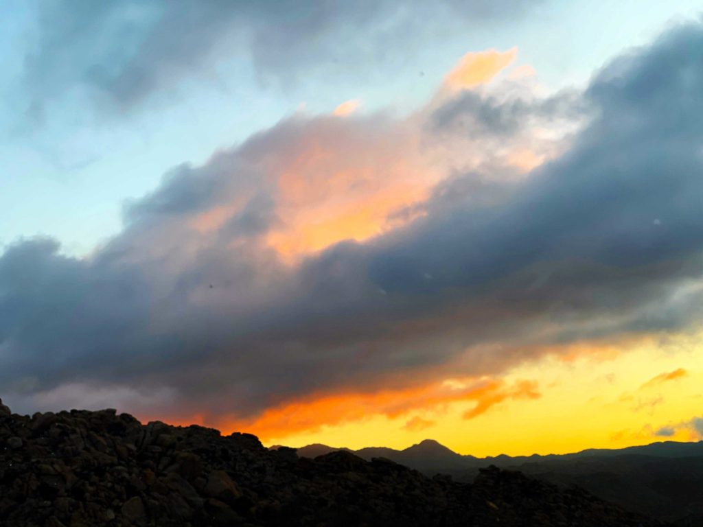
With the desert starting to cool off a bit, Ted, Susie, & I decided to return to peak 3339 just east of McCain Valley. In addition to this peak, we wanted to summit Al Holden as well. That peak was named in honor of the OG San Diego Peakbagger, so it seemed like something we had to do as well. We timed the drive to arrive just before sunrise, figuring we would have some amazing views to capture. As the sun slowly rose, the three of us snapped away. To our south, another gentleman was atop a boulder doing the same thing. 

After grabbing our gear we began our descent. Yes, this is a canyon, or inverted hike, meaning we get to climb back up at the end. Some folks had cowboy camped right at the trailhead, but the sunrise had already awakened them before we passed.

The trail was steep for a bit, then became more gentle. Peak 3339 was a mound of boulders off to the east. Eventually, we left the trail and began our cross-country portion. We worked our way up close to the summit. Opting to approach from the south, we drew close and found a small tunnel, which guarded the register and through which we were atop 3339. 

Both Susie and I agreed this was much easier than our previous summits. The day was warming up, but we felt that we could get Al Holden in. We passed back through the tunnel and retraced our route for a bit. Finally we headed north, referring to one of the few tracks to this peak. Scrambling over boulders and past the occasional juniper, we realized the mound of rocks we thought was Al Holden wasn’t. It stood one pile to the east. 

With the proper peak located, we began our careful climb up. This is a “leave the poles behind and put on gloves” kind of peak. We picked our way up, with a few careful Class 3 moves, & found ourselves atop Al Holden. We had a nice break, and I found some shade as I was starting to feel the heat. There is no register, but a metal sign is cemented atop a boulder.

Looking to the north
Looking to the west

We worked our way back down from the summit, then over the saddle. From there we continued cross country until we rejoined the trail. The heat was taking a toll on me. I may have grown up in Bakersfield, but I don’t have the same tolerance anymore. The temps were in the mid-80s, but without the breeze, it felt worse. Now we had the ascent back to the car. My pace dropped considerably and I had to rest in the shade a few times. Ted shared some ice water, which helped. I cracked out my emergency Coke for some sugar and caffeine. That bottle of Gatorade I left in the fridge would have been helpful. 

Slowly but steadily I plodded my fat ass up the trail, with Ted and Susie watching over me. I tried to keep moving while not going too fast and overheating further. Finally, the end came into view and this effort was done. The cold water back at the car felt wonderful, as did the AC. Once I cooled off again I felt fine. I’m going to have to be more cautious next week when I am out at Joshua Tree NP. Again, thanks to Ted and Susie for their support in this one!


Buy Me a Coffee at ko-fi.com

I am an avid peak bagger, sometimes backpacker, and former sea kayaker living in San Diego. In 2019, I became the third person to complete the San Diego 100 Peak Challenge. Not stopping with that accomplishment, I set my sights on the harder San Diego Sierra Club 100 Peak list, which I completed in 2021. In addition, I have conquered several Six-Pack of Peaks challenges (SoCal, San Diego, Central Coast, and Arizona-Winter). Beyond attempting the San Diego Sierra Club 100 Peak list a second time, I am looking forward to exploring new summits and new adventures across the southwest. 

The Thimble

With the forests closed, we opted to try for a pair of peaks—The Thimble and San Ysidro out near Ranchita. We knew it was going to be a warm one, so hit the trail just before sunrise.

We worked our way up the old road to the saddle. From there, Ted got his first look at The Thimble. Having summited this peak before, I outlined the basics of our ascent for Ted. There is no trail to the summit, so this climb would be a true adventure for us. We left the old road and began crossing toward the base. Carefully crossing the boundary fence into Anza Borrego State Park, we began weaving past the brush and boulders as we made our way up the 30-50% grade. 

Soon we found ourselves at that wall of brush. The right edge still provided a narrow passage past the thicket. From there it was a quick scramble to the summit.

Greg Gerlach had left a new register earlier this year, which we happily signed. The views were tremendous. I took the opportunity to scan my upcoming route into Hellhole Flats and San Ysidro East Peak. 

After a pleasant break, we began our careful descent. Since Ted had spotted a baby rattlesnake on our ascent, we were mindful of that as we retraced our route.

We kept looking for a route that would allow us to vector toward the route up to San Ysidro. Nothing revealed itself to me, so we went to the base. We then evaluated if we should go for our second peak. The day was certainly warming up. I looked over the distance and gain, along with needing to be back in town for my annual flu shot scheduled for early afternoon. With that, we would leave San Ysidro for another day.

Once back in the car, the thermometer read a toasty 88. Turning back was the right call.


Buy Me a Coffee at ko-fi.com

I am an avid peak bagger, sometimes backpacker, and former sea kayaker living in San Diego. In 2019, I became the third person to complete the San Diego 100 Peak Challenge. Not stopping with that accomplishment, I set my sights on the harder San Diego Sierra Club 100 Peak list, which I completed in 2021. In addition, I have conquered several Six-Pack of Peaks challenges (SoCal, San Diego, Central Coast, and Arizona-Winter). Beyond attempting the San Diego Sierra Club 100 Peak list a second time, I am looking forward to exploring new summits and new adventures across the southwest. 

Blue Angels Peak

Today’s adventure was to summit Blue Angels Peak. With the forests closed due to fire danger, we were looking for something that we could do. I had suggested doing San Ysidro and The Thimble, but Susie wanted to explore something new, so Blue Angels Peak was selected. I headed out early to try and catch the sunrise and squeeze in a quick summit of Jade Benchmark. About 7:3, Susie and Gail pulled up and transferred into my Subaru. Rather than make the steep climb up from the trailhead we opted to drive to a turnout to avoid this section.

The views were spectacular as we worked our way along the roads. Finally we came to the point where we left the road and began to follow a use trail toward the summit.

With a bit of scrambling at the very end, the summit was reached. Susie found the register and we signed ourselves in. The Valley of the Moon spread out before us to the east, and Mexico was just to our south. A nice breeze kept us cool. A Border Patrol jeep cruised the road below us.

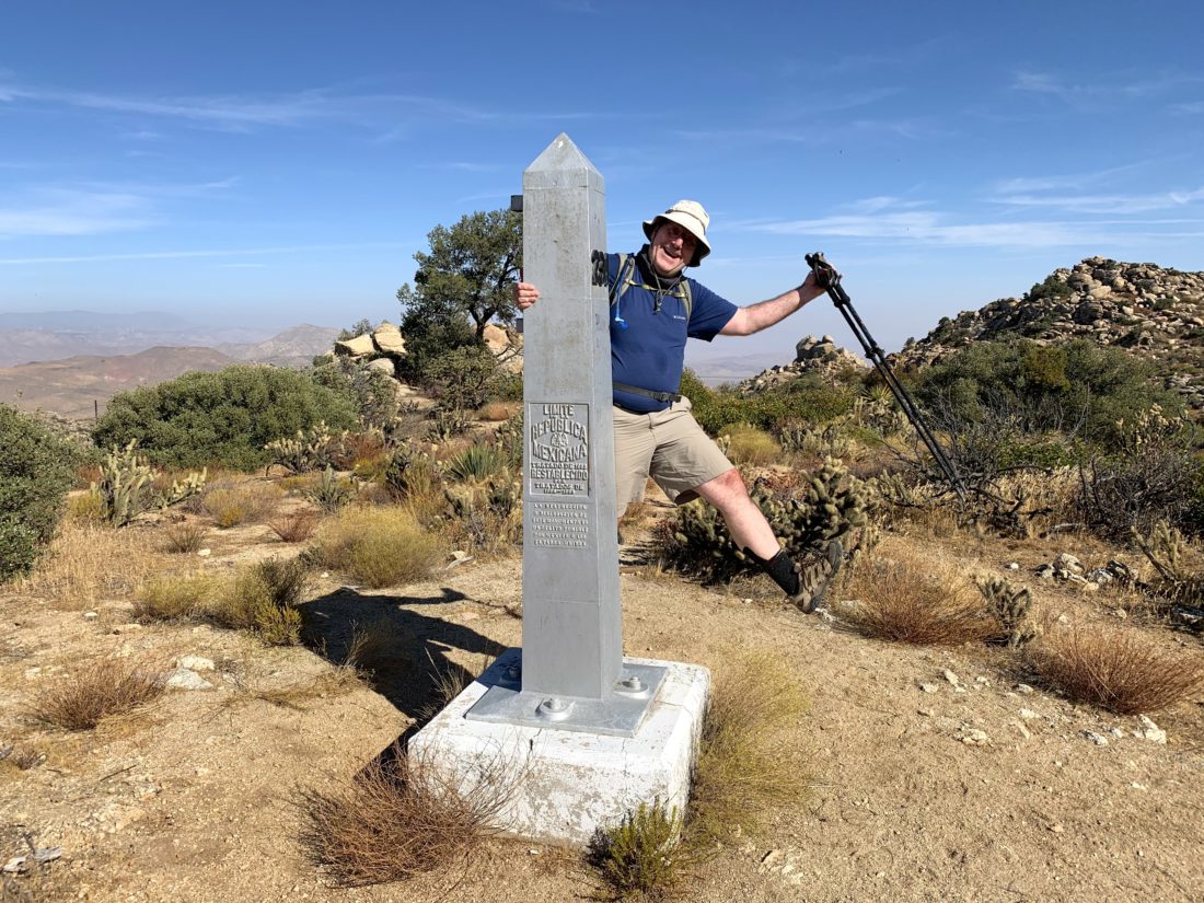
I scrambled around the summit locating the various reference marks. Plastic bottles could be found scattered about. Our next goal was the boundary marker to our south. This obelisk denotes the border between the United States and Mexico.

We took our photos and then headed back. I had located several other peaks also on the Borrego Benchmark Club list, but the day was warming up a bit and I needed to get home since Yom Kippur starts at sundown. This is a place I need to return to and explore this region further!


Buy Me a Coffee at ko-fi.com

I am an avid peak bagger, sometimes backpacker, and former sea kayaker living in San Diego. In 2019, I became the third person to complete the San Diego 100 Peak Challenge. Not stopping with that accomplishment, I set my sights on the harder San Diego Sierra Club 100 Peak list, which I completed in 2021. In addition, I have conquered several Six-Pack of Peaks challenges (SoCal, San Diego, Central Coast, and Arizona-Winter). Beyond attempting the San Diego Sierra Club 100 Peak list a second time, I am looking forward to exploring new summits and new adventures across the southwest. 

Jade Benchmark

Today’s adventure was to summit Blue Angels Peak. With the forests closed due to fire danger, we were looking for something that we could do. I had suggested doing San Ysidro and The Thimble, but Susie wanted to explore something new, so Blue Angels Peak was selected. 

I headed out early to try and catch the sunrise and squeeze in a quick summit of Jade Benchmark, which is on the Borrego Benchmark Club list. It was a short climb to the summit. I found the register, but the ink in the pen was dry. I was also able to locate the benchmark before I hustled back down and waited for Susie and Gail to arrive.


Buy Me a Coffee at ko-fi.com

I am an avid peak bagger, sometimes backpacker, and former sea kayaker living in San Diego. In 2019, I became the third person to complete the San Diego 100 Peak Challenge. Not stopping with that accomplishment, I set my sights on the harder San Diego Sierra Club 100 Peak list, which I completed in 2021. In addition, I have conquered several Six-Pack of Peaks challenges (SoCal, San Diego, Central Coast, and Arizona-Winter). Beyond attempting the San Diego Sierra Club 100 Peak list a second time, I am looking forward to exploring new summits and new adventures across the southwest. 

Pike & Cody Benchmarks

The alarm for 4 AM went off way too early, but we needed to meet our escort to the start of our hike at 6 AM. As I drove past the Iron Mountain parking lot, I remembered a time when this was where I would meet Susie Kara and then carpool off to conquer another peak on our list. Instead, we will have to rendezvous at the escort point. Today’s adventure was a special gift. We were allowed to hike out to some peaks that are normally only accessible from Anza-Borrego. I parked under a large oak tree while I waited for our escort and Susie to arrive. Unfortunately, the person who had arranged this adventure tweaked their neck and was under orders not to hike, but they still allowed us the opportunity to venture into the wildness. 

Once Susie arrived, she tossed her gear into the Outback, and off we went, past the locked gate and down the dirt roads. Just past the old cemetery, we found a nice spot to pull off and begin our journey. We bid farewell to our escort, thanking them for probably the 100th time… 

Our journey first took us down an old road until it reached a broad collection of oak trees. From here, we would enter a nice sandy wash and begin the climb up to the saddle near the peaks we were aiming for. The air was still a bit cool and we had some shade for a while. The temperatures were predicted in the high 70s to low 80s, hence the early start for this hike. A few small dry falls were quickly climbed as we kept heading east. Susie had summited these peaks back in March but from the much harder route from the west.  As we neared the saddle, the brush did become thicker, and took some effort to pick our way through it. If the satellite imagery was to be trusted, we should only have to deal with it for a short time.

Thankfully, the imagery was correct and the brush did become less dense. Once we reached the saddle, our route would now form the head of a lollipop. The first of the listed peaks we were aiming for was off toward the northeast. I took the lead in the route finding. Very quickly, I spotted a faint animal trail through the grass. Unfortunately, neither one of us thought to bring our gaiters, and we would be plucking thistle out of shoes and socks several times during this hike.

Looking north

Our route took us to a nice ridge before turning east and over the first of three peaks for the day. But on this ridge, we had some sweeping views of the mountains to the north of us. Squaretop stood very clearly amongst its neighbors. San Jacinto was far off in the distance. Now, back to why we were out here, we climbed the slopes of the peak. While this peak is higher than its named cousin to the east, it is NOT on the Sierra Club 100 list. We took a small break here, signed the register, and took our photos before heading on to the next peak.

Now from here, the views of Anza-Borrego became even more impressive: Palm Mesa and Indianhead were clearly visible to the east. That was my 89th peak on the Sierra Club 100. After signing the register, letting Susie go first as she was also the most recent one to have signed it, we took our photos and surveyed our descent and ascent route for the third peak we were hoping to climb.

We carefully worked our way down the steep and sandy slope. Susie noted that they had descended from the other peak, and this was an easier route. As we neared the end of the descent, we discussed possible paths we could take up the steep slope that stood before us. We had a couple of tracks loaded, and we compared our options. One thing about open country peak bagging is you have to synthesize all your data: the paper topo map, routes from previous hikers, and what your eyes and gut tell you. Settling on a general path, we began climbing. 

It was steep and at times the footing a bit troublesome. We would stop for a moment, scan ahead, and continue on. In about .4 miles we would be gaining almost 700 feet of elevation. With one last push, we reached the summit! Again, the views were incredible, with the San Ysidros rising to the south. I found a nice spot to sit and enjoy my orange and some Gatorade. Susie stretched out and had a nice nap in the sun. About .5 miles to the west stood two more benchmarks. I had considered adding them on to the day’s attempt, but since our escort could not join us, I wanted to save them and summit them together. Plus,  Susie did have to be back in town for her niece’s 4th birthday party. We bid farewell to my 90th peak and headed down. 

We slowly and carefully made our way down the steep slope. This time following the gully to the west rather than the route we took on the way up. Unfortunately, I slipped at least twice, and the bruise on my hand is evidence of my grace. Back in the wash, we began following it to the west. As we near the saddle, the wash narrowed, so we popped out of it and continued cross-country. Crossing the saddle and back toward the first wash, it was clear that if we ever get to explore, here again, stick to the south side as you approach the saddle, as the route is easier.

We made quick time back along the first wash, which was good as the day was heating up and the bugs were coming out. Soon, the Subaru came into view, and the hike was at an end. We drove back down the dirt road, taking care to properly close the gates. Once we had cell coverage, I let our escort know that we were back and it was a successful expedition. Susie said a quick goodbye and headed back into town. Yes, I have been vague on the peaks that we summited, at the request of our escort. But if you do some detective work, I am sure you can figure it out.


Buy Me a Coffee at ko-fi.com

I am an avid peak bagger, sometimes backpacker, and former sea kayaker living in San Diego. In 2019, I became the third person to complete the San Diego 100 Peak Challenge. Not stopping with that accomplishment, I set my sights on the harder San Diego Sierra Club 100 Peak list, which I completed in 2021. In addition, I have conquered several Six-Pack of Peaks challenges (SoCal, San Diego, Central Coast, and Arizona-Winter). Beyond attempting the San Diego Sierra Club 100 Peak list a second time, I am looking forward to exploring new summits and new adventures across the southwest. 

Pyramid Peak

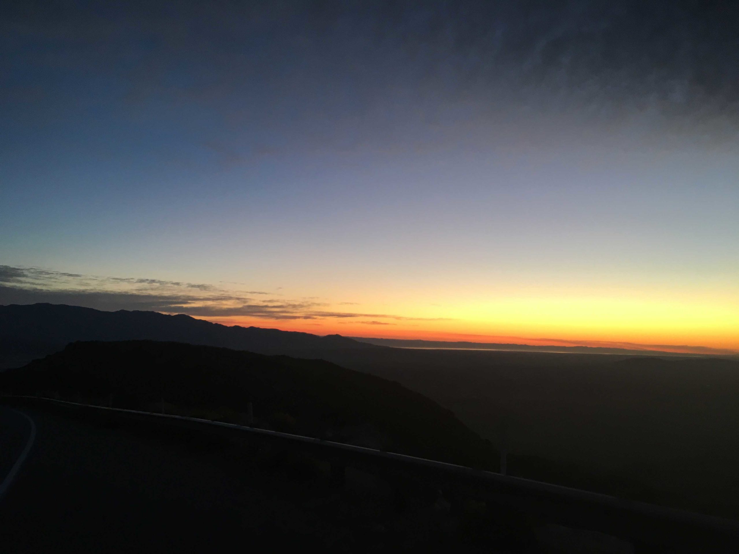
With Susie, Matt, and Greg off on a backpacking effort to summit Cody, Pike, and Palm Mesa, I opted to attempt Pyramid Peak. They had done it last December while I was madly racing to finish the 100 Peak Challenge. Since there were some winds forecast for later in the afternoon, I knew this was going to be a sunrise start. As I headed down from Ranchita, I caught another stunning sunrise. Usually, I let Ted grab those photos, but he had to work, so I had to pull over to snap a few shots.

After a quick pit stop at the parking lot for Maidenhair Falls for a bio-break, I kept heading east to the trailhead. Pulling into the turnout, another car was parked there. Since this is the same one for Villager and Mile High, I wondered what they might be off exploring? I grabbed my gear and headed northeast across the desert floor toward Palo Verde Wash.

As I neared the wash, the ground became rockier. I remembered from our ascent of Mile High that the wash was not one of those nice sandy ones. Once in the wash, my next landmark would be a cairn that would mark the mine trail I would take to the east. Checking my route, I knew it to be close. I had spent some time on Google Earth to get a feel of where I should look, as solo hiking takes some extra research. Susie had mentioned they made it larger when they took it. Sure enough, I spied it and scrambled up the side of the wash onto its well-defined path.

I would follow this trail until I reached the Smoketree Wash. A few flowers would line the trail along the way. I dropped down into the wash and continued north. I finally caught my first glimpse of the peak and the ridgeline I would take. I stayed in the wash for a very short time. While the exit did not have a cairn, the terrain made it pretty clear where the exit was.

Here I was able to pick up the use trail that I would follow all the way to the summit. The first section crossed a fairly steep and rocky scree section, I was not looking forward to descending this later. Once past this section, the terrain was far more manageable––somewhat rocky but without causing issues. I reached the top of a minor bump and took a short breather before the final push to the summit.

Once I crested the Ridge, I could feel the winds pick up. Here I turned north onto the new ridge and the last few thousand feet to the summit. Once there, I soaked in the views. Today, I think in part due to those winds, the skies were clear. The Salton Sea spread out to the east, and Travelers Peak somewhere to the south. To my north, I think stood Rosa Point. There is no Benchmark here, but a register filled with many familiar names. What was most impressive was the number of times Steve Fausett has been here!

The winds were building and I slipped on my windbreaker while I enjoyed my snack before heading back down. I retraced my route, and the use trail was even clearer on my descent. As I neared that section near leaving Smoketree Wash, I cautioned myself to watch my footing. Sadly, my foot slid on the rocky scree and I took a tumble. Thankfully, just a few minor scrapes.

Once safely back in the wash, I again found the mine trail. I had considered taking the other branch of the wash to explore the natural stone tanks, but my tumble aborted that plan. I cruised along the trail, the occasional lizard scampering by.

Clark Dry Lake Bed

Soon the Clark Dry Lake Bed was visible to the west as I made my final descent back into the Palo Verde Wash. From here, I again crossed the 1.4 miles back to the car. With that, my 88th Peak was completed!


Buy Me a Coffee at ko-fi.com

I am an avid peak bagger, sometimes backpacker, and former sea kayaker living in San Diego. In 2019, I became the third person to complete the San Diego 100 Peak Challenge. Not stopping with that accomplishment, I set my sights on the harder San Diego Sierra Club 100 Peak list, which I completed in 2021. In addition, I have conquered several Six-Pack of Peaks challenges (SoCal, San Diego, Central Coast, and Arizona-Winter). Beyond attempting the San Diego Sierra Club 100 Peak list a second time, I am looking forward to exploring new summits and new adventures across the southwest. 

Groan Benchmark

Initially, we thought we would have to summit Groan Benchmark as part of a long hard loop from McCain Valley, but thankfully Matt Hanan offered up a ride in his 4X4 Jeep to take us to the better trailhead for Groan Benchmark. I met Susie and Matt Bennet. in the parking lot at Grossmont Center and headed off to meet Matt H. at the turnoff to Carrizo Creek. As we drove through the clouds and lingering rain, we hoped that the skies over the desert would be clear (as predicted). Nearing Boulevard, the skies began to clear, and were greeted with a lovely sunrise.

Matt is an easy fellow to spot, as he is usually in a Celtic jersey and shorts. We piled into the Jeep and set off down the dirt road. Last weekend, Larry Edmonds finished his 100 by summiting Grunt Benchmark, which shares the same trailhead as Groan’s. Matt had joined Larry on that hike, so he was very familiar with the road and its challenges. As we bounced along, it was clearly well beyond what I would take my Subaru on.

We reached the end of the road, and thus our trailhead. We geared up, and there was a bit of a breeze, so I made sure to have a windbreaker in the pack. I figured it would be handy up on the summit. The trail follows a cobble-filled wash for some time. About a quarter-mile in, Matt H asked if we wanted to see the pictographs in the cave then or on the way back. No time like the present, so we scampered off up the rocky side to see them. What a well-preserved collection! A few morteros were nearby as well. We did not linger too long, as we still had about 6 miles of hiking to do.

Once back on the route, we eventually found a nice use trail for a bit, which was a relief from stepping on and around the rocks in the wash. After about two miles, it was time to leave the wash and begin the major portion of the climb to the summit. We plodded our way upward, trying to avoid the ‘anger bushes’ (as Scott Turner likes to call them). Sadly, I got hit a couple of times, despite my best efforts. Our route took us side-hilling for a while. The summit was now finally coming into view.

After crossing a small ravine, we began the final push to the summit. The true summit was just behind the top that was visible to us from our ascent, but an easy walk to it.

Once there we took a nice break, and since there was a bit of breeze, I did break out the windbreaker.

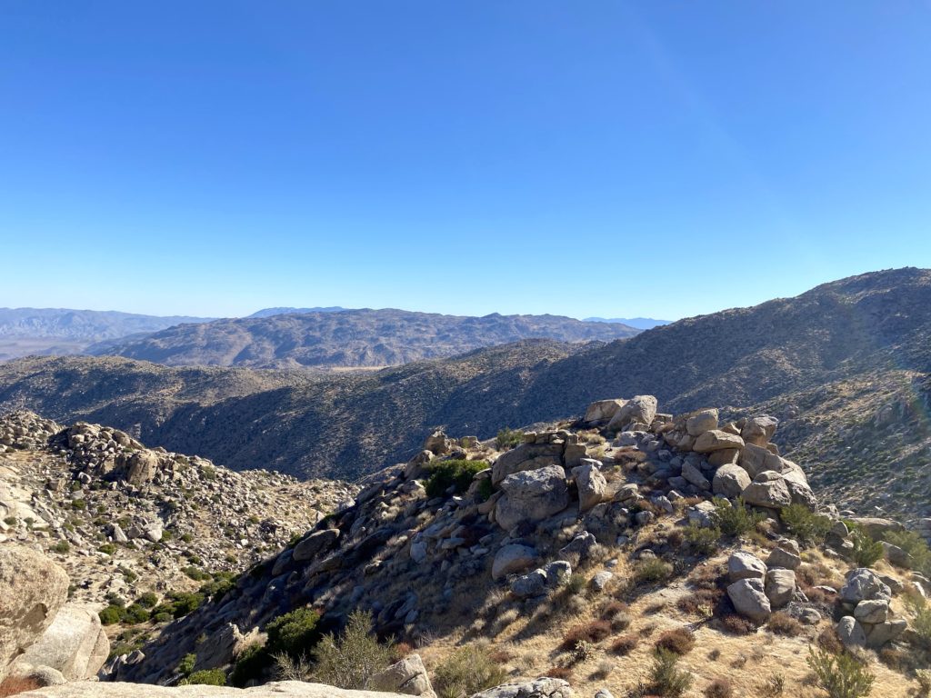
To the southeast, the Goat Canyon Trestle was clearly visible, as was Puff Benchmark. Back to the northwest, stood Gasp Benchmark.

We munched on our snacks, signed the register, and took our photos. In addition, we found the benchmark and reference mark.

One thing to note about this benchmark is it is mislabeled as Moan. In fact, Larry kidded that “We would Moan at Groan…” After about 30 minutes, we decided it was time to head back as it was warming up some. As we made our descent, we looked over the map and decided to explore an alternate route back.

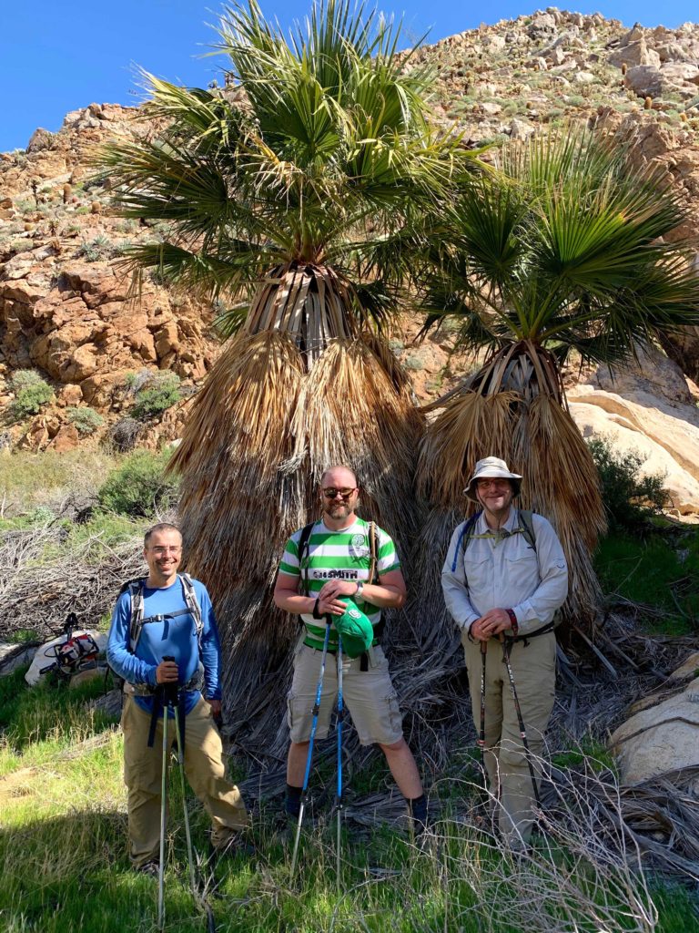
As we worked down, we passed a couple of California Palms, so Susie made us take a group shot of the guys.

The desert floor was green from the recent rains and almost seemed unnatural as we worked our way through the canyon. Along the way, we had two dry waterfalls to descend. Both posed no issues for any of us. The other surprise along the way was the various piles of sheep bones that we spotted.

There were also flowers along the way. Sadly, we all agreed that this year’s desert flower season will not be like the ones in years past.

Our alternate route eventually rejoined our initial track. We all agreed that it was so worth the little bit of extra distance. We picked up the use trail again, noting that some of the brush had been cut with a saw. We wondered about the why and the who behind that. The day was heating up, and the sun was reflecting off the sandy ground. Soon, Matt’s Jeep was spotted in the distance and our trek was done (except for the bouncy ride out). Just before we reached the S2, a truck was parked directly on the road! We were about to drive around them without incident, as we did they had a whole table of food set up behind them. We were not impressed by the Cal Tech Geology team and their choices.

Our original plan was to drive back up to McCain Valley and try from Gasp Benchmark, but we decided against it. Susie opted to save it as her final peak so that more folks might be able to celebrate with her. Instead, I convinced the group to take a short stroll to the top of Egg Mountain which was just across the road (Matt did it while waiting for us in the morning). More of a bump, it is listed on the Borrego Benchmark Club list, so why not?! We grabbed some trash along the way to the summit, but could not find a register or any other marks. We strolled back along the road (yes, we could have driven to the top). We said goodbye to Matt and thanked him for driving us to the trailhead.
Mt. Tule

Since we still had some time, and Matt B. had not done Mt. Tule yet, I offered to drive to the trailhead. This is also a modest portion of the road to the trailhead to Gasp Benchmark, so it would be worthwhile to see its condition. It was like I remembered, bumpy and at times a bit rutted. I pulled into the same spot I parked last time. Susie opted to tag along with Matt, but I was more than happy to grab a nap. They found the use trail to the summit without a problem and were back before I really started snoring (I think). I dropped them back off at their car and headed home. Unfortunately, Susie’s house keys had fallen out (thankfully in the car), so she and Matt had to drive all the way to my house in PQ to get them. Nevertheless, that was the 87th peak of my #SD100! With luck, I should hit 90 before this desert season ends.


Buy Me a Coffee at ko-fi.com

I am an avid peak bagger, sometimes backpacker, and former sea kayaker living in San Diego. In 2019, I became the third person to complete the San Diego 100 Peak Challenge. Not stopping with that accomplishment, I set my sights on the harder San Diego Sierra Club 100 Peak list, which I completed in 2021. In addition, I have conquered several Six-Pack of Peaks challenges (SoCal, San Diego, Central Coast, and Arizona-Winter). Beyond attempting the San Diego Sierra Club 100 Peak list a second time, I am looking forward to exploring new summits and new adventures across the southwest.