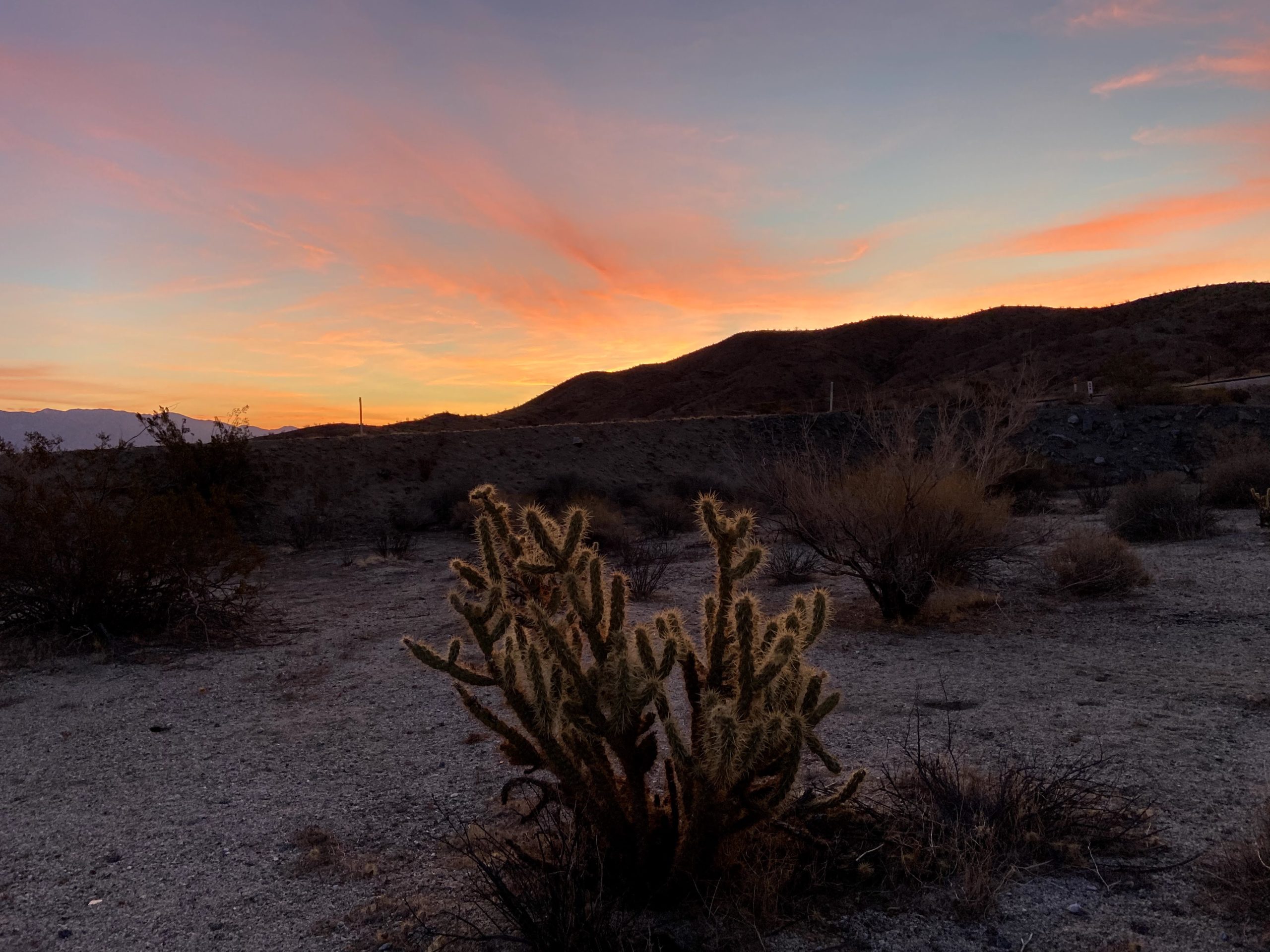
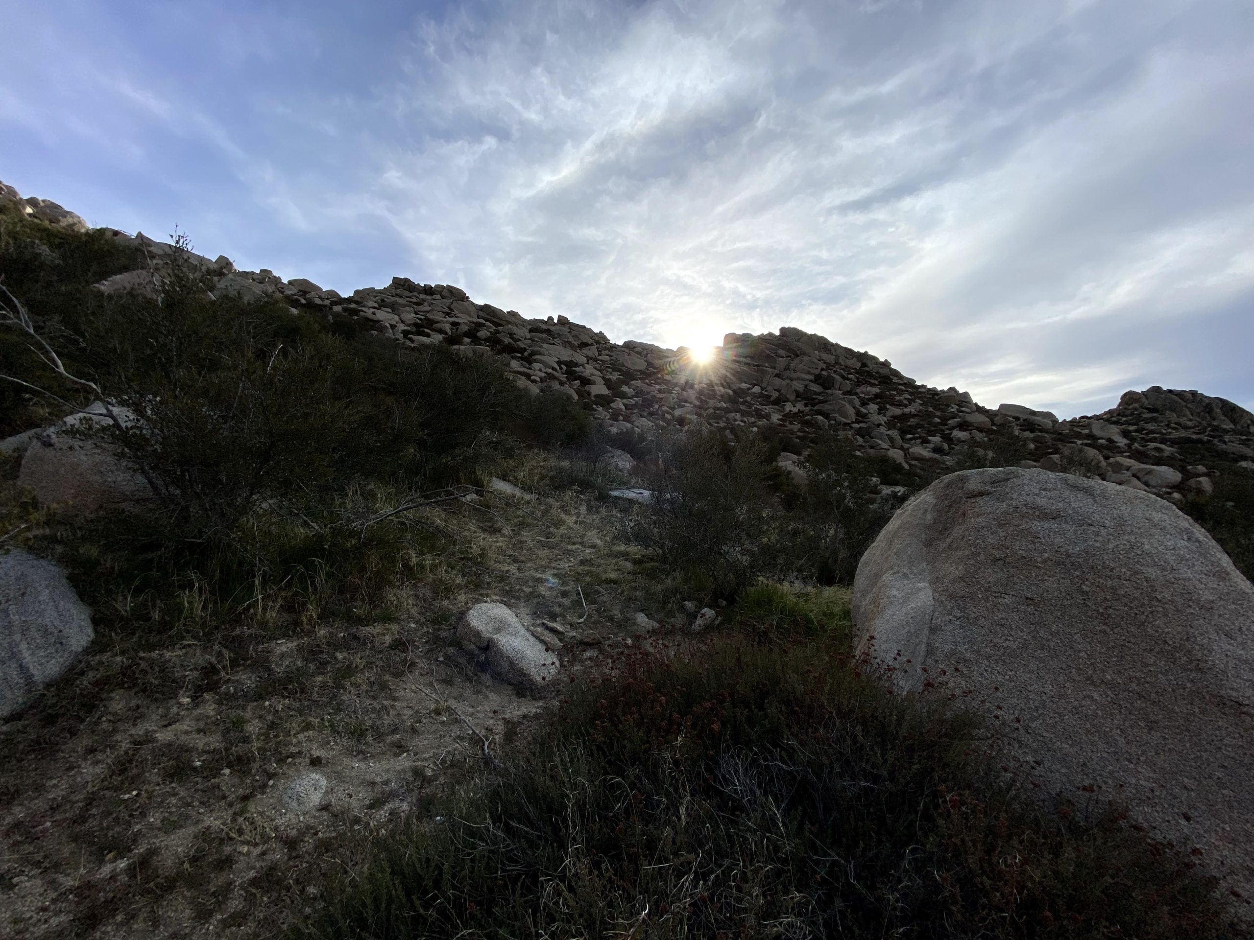
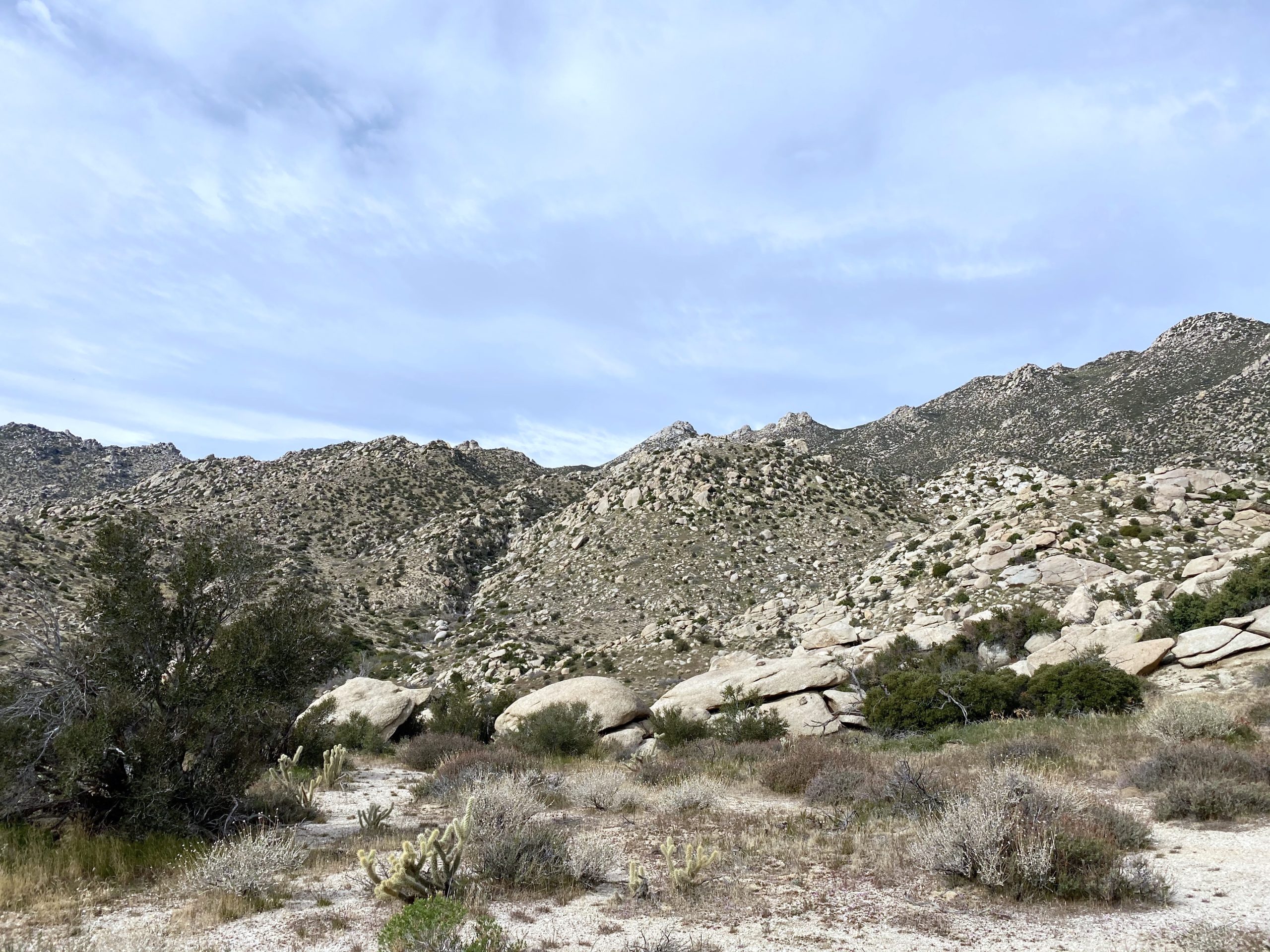
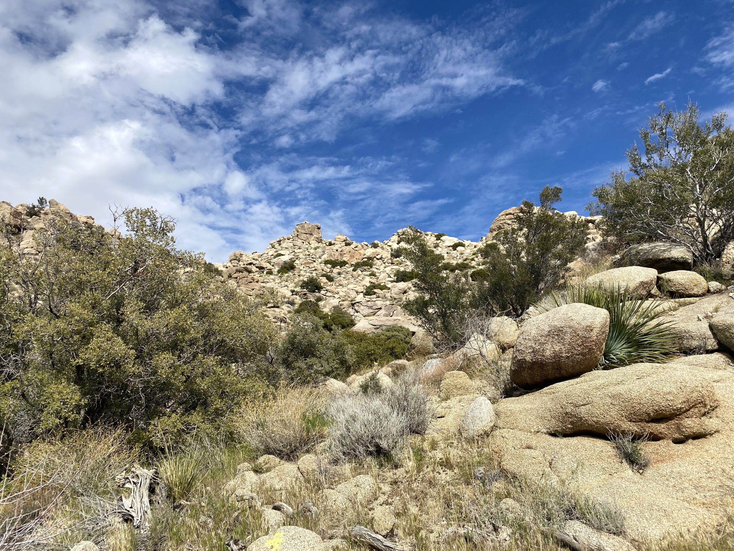
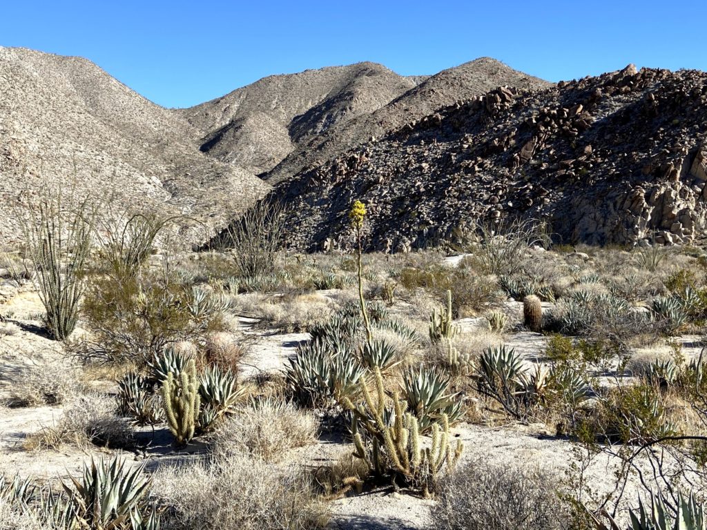
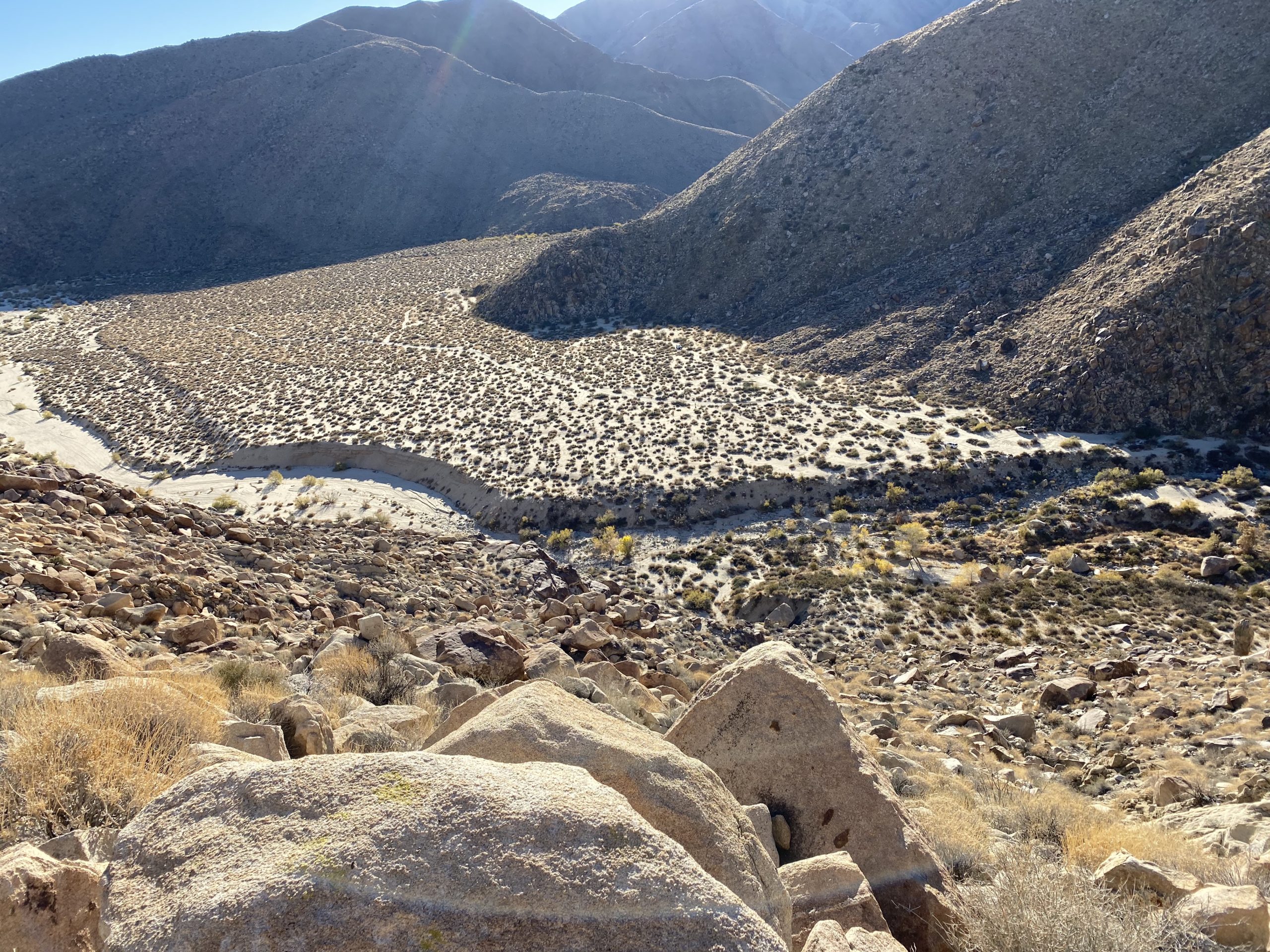
It is hard to imagine that this journey to complete all 100 peaks on the San Diego Sierra Club list is almost done. I have two more peaks to summit; Palm Mesa High Point and Roost Benchmark. I knew my window to climb them was coming to an end, as the desert was warming up, so I needed to try to get them in as soon as possible. The more challenging of the two was going to be Palm Mesa High Point. This peak can be summited in a number of ways; you can climb up from Sheep Canyon, approach it from Henderson Canyon, or use the Borrego Palm Canyon North Fork route. The first two options are difficult routes, while the last one is easier but has access issues. Thankfully, Gina Norte was able to grant a small group of us permission to start from within the Los Coyotes Indian Reservation.
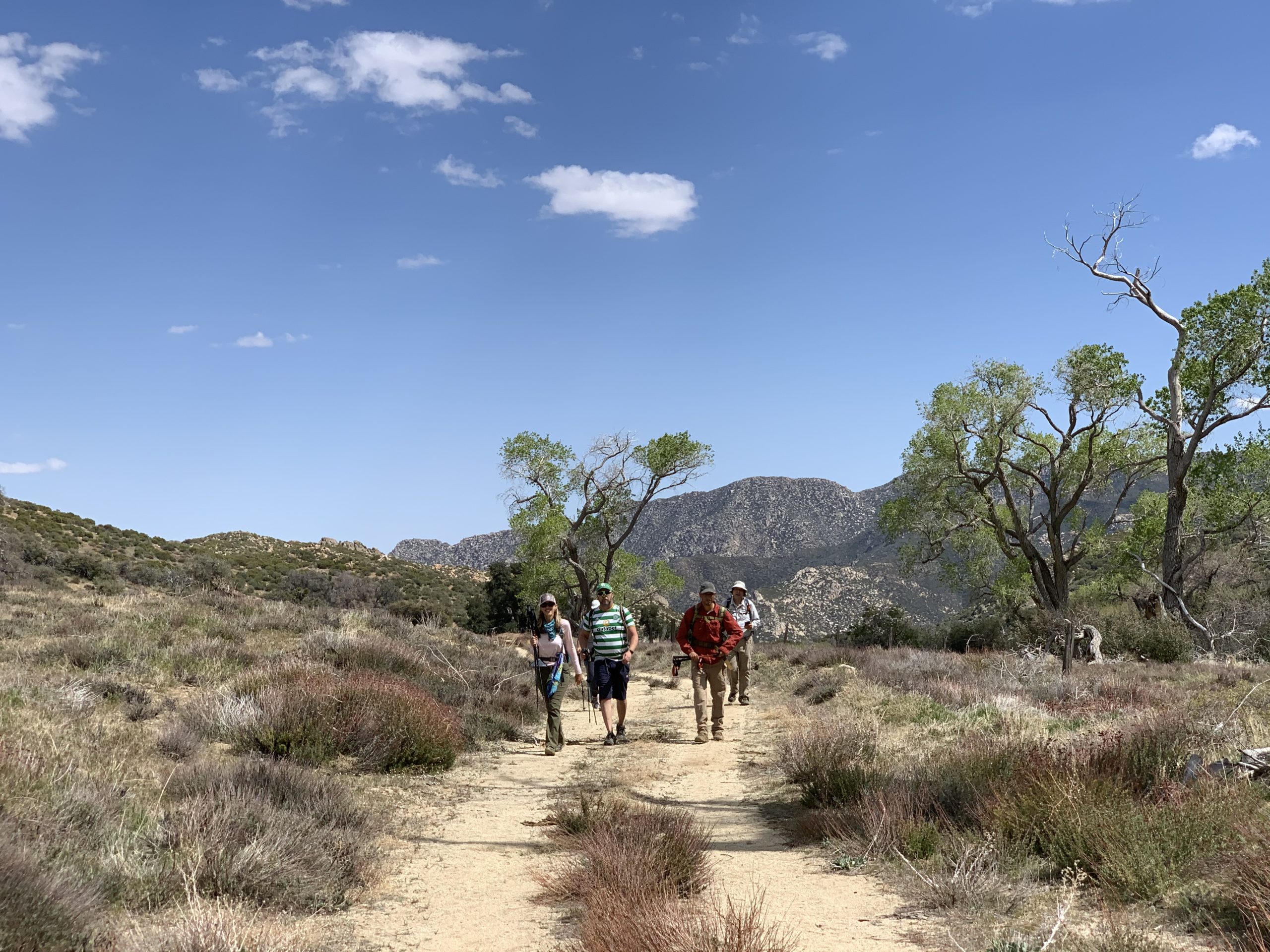
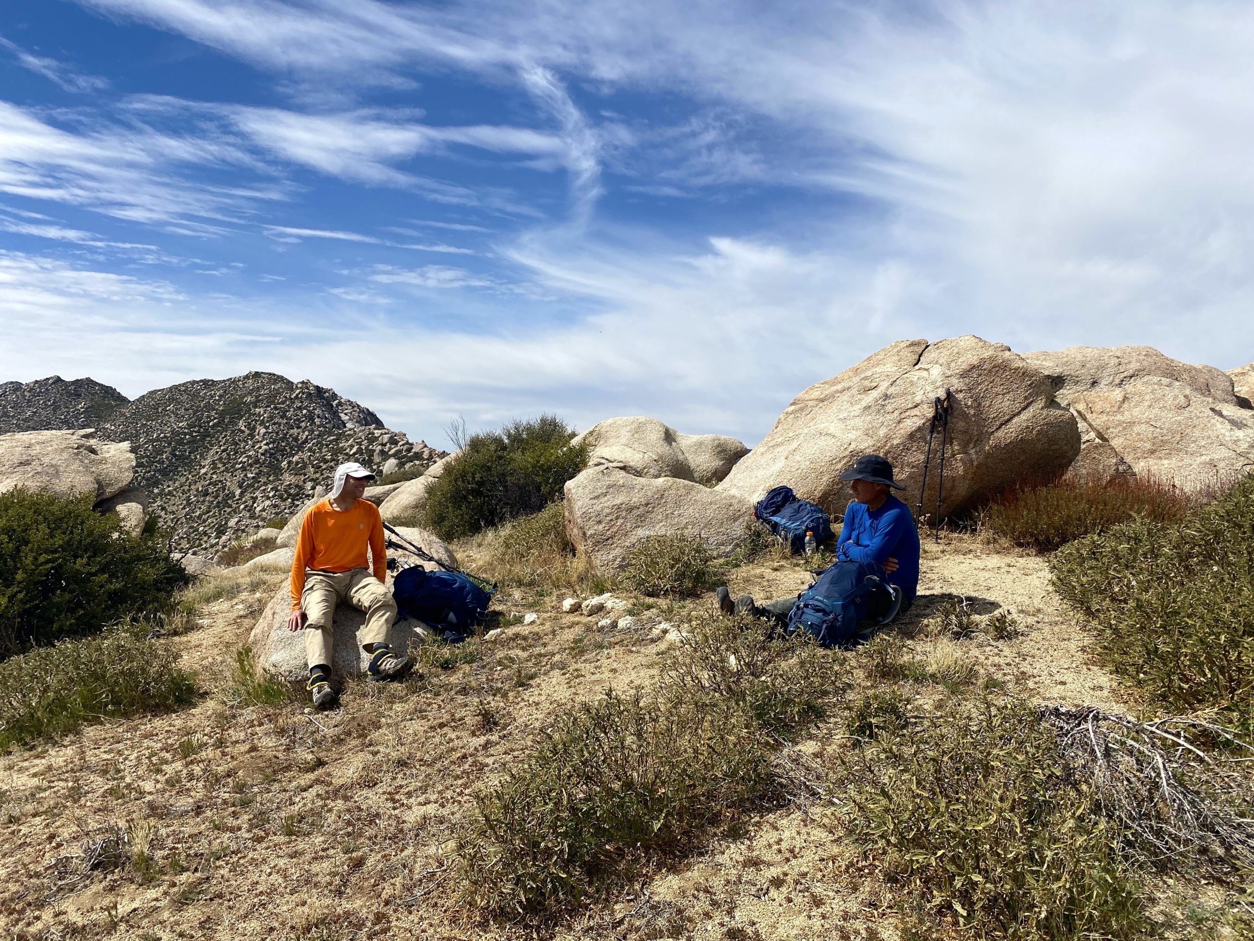
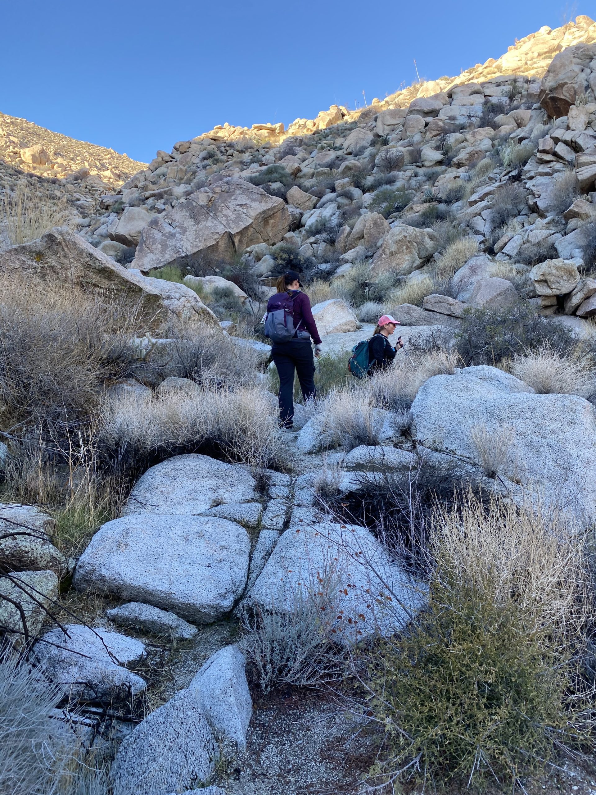
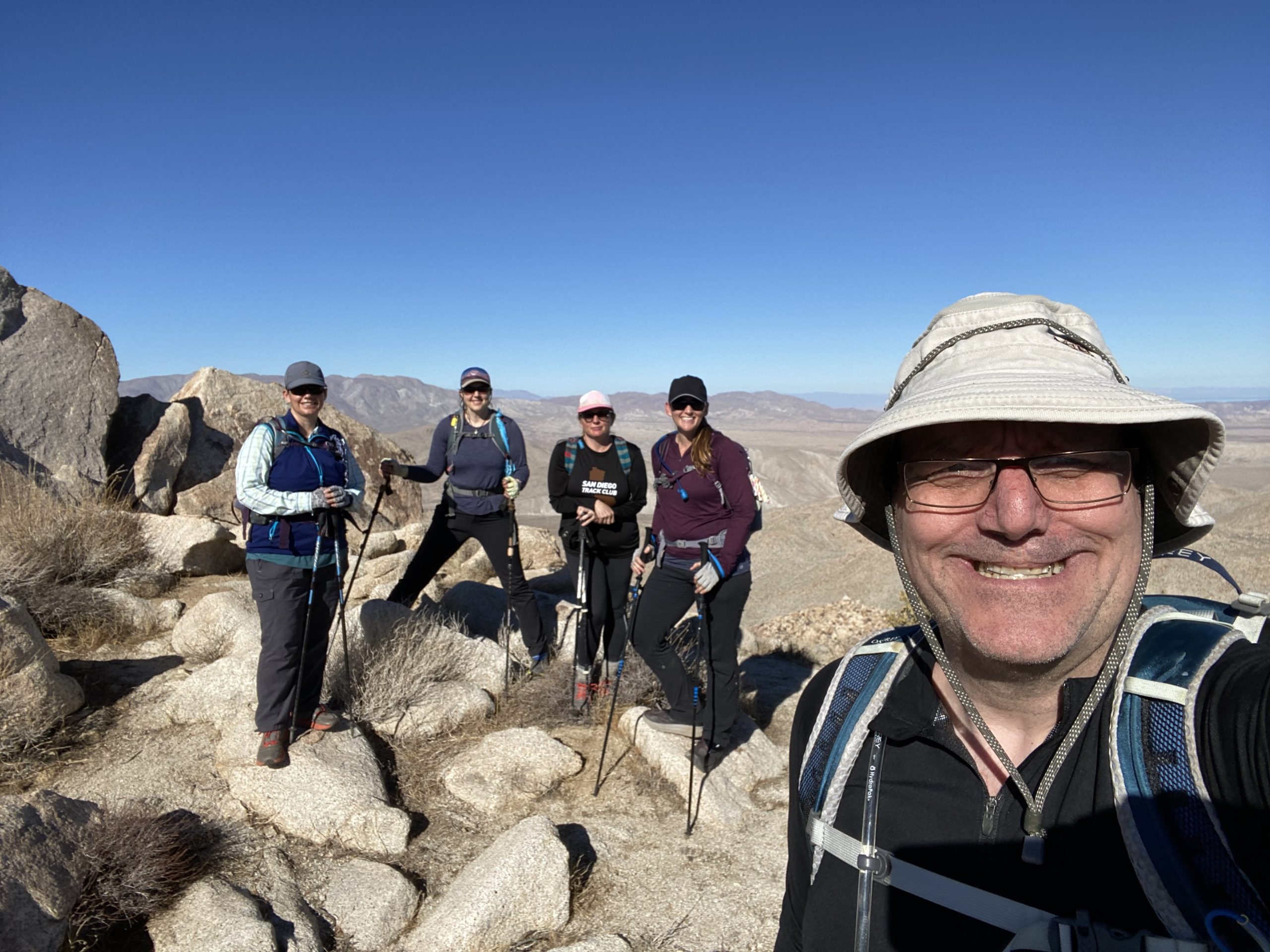
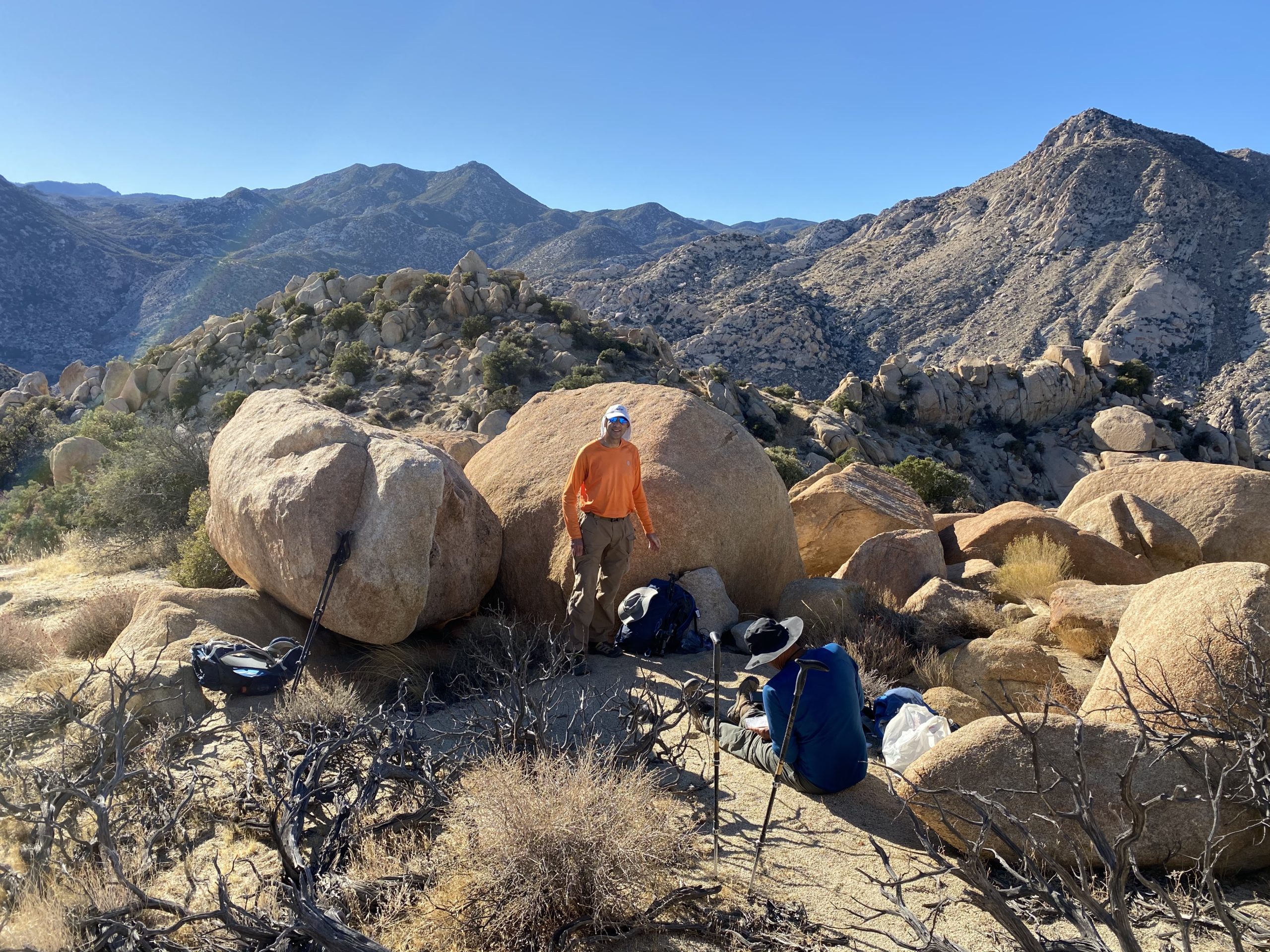
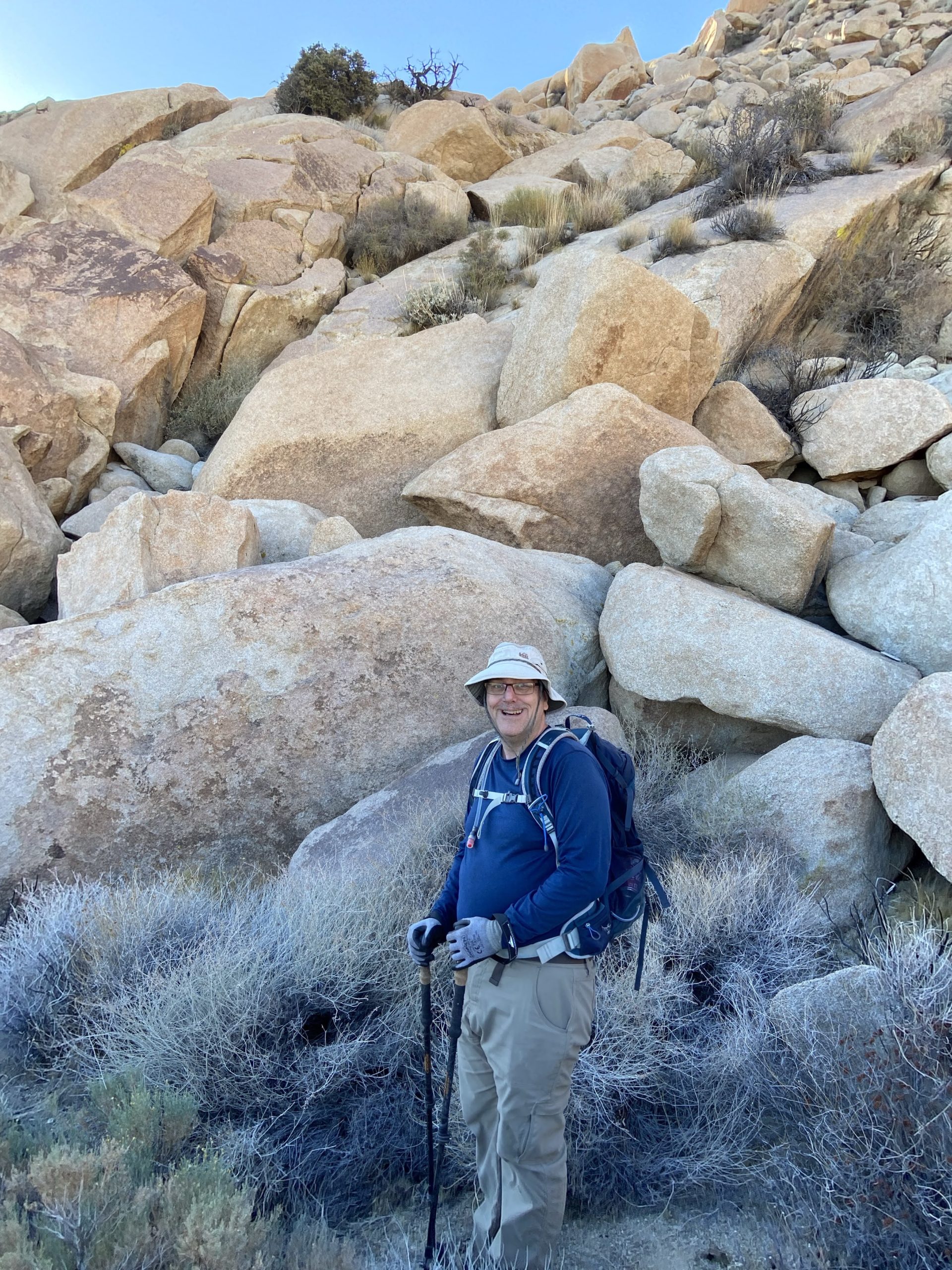
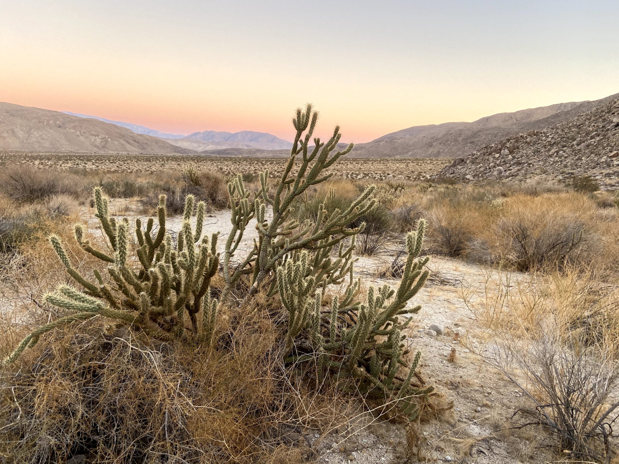
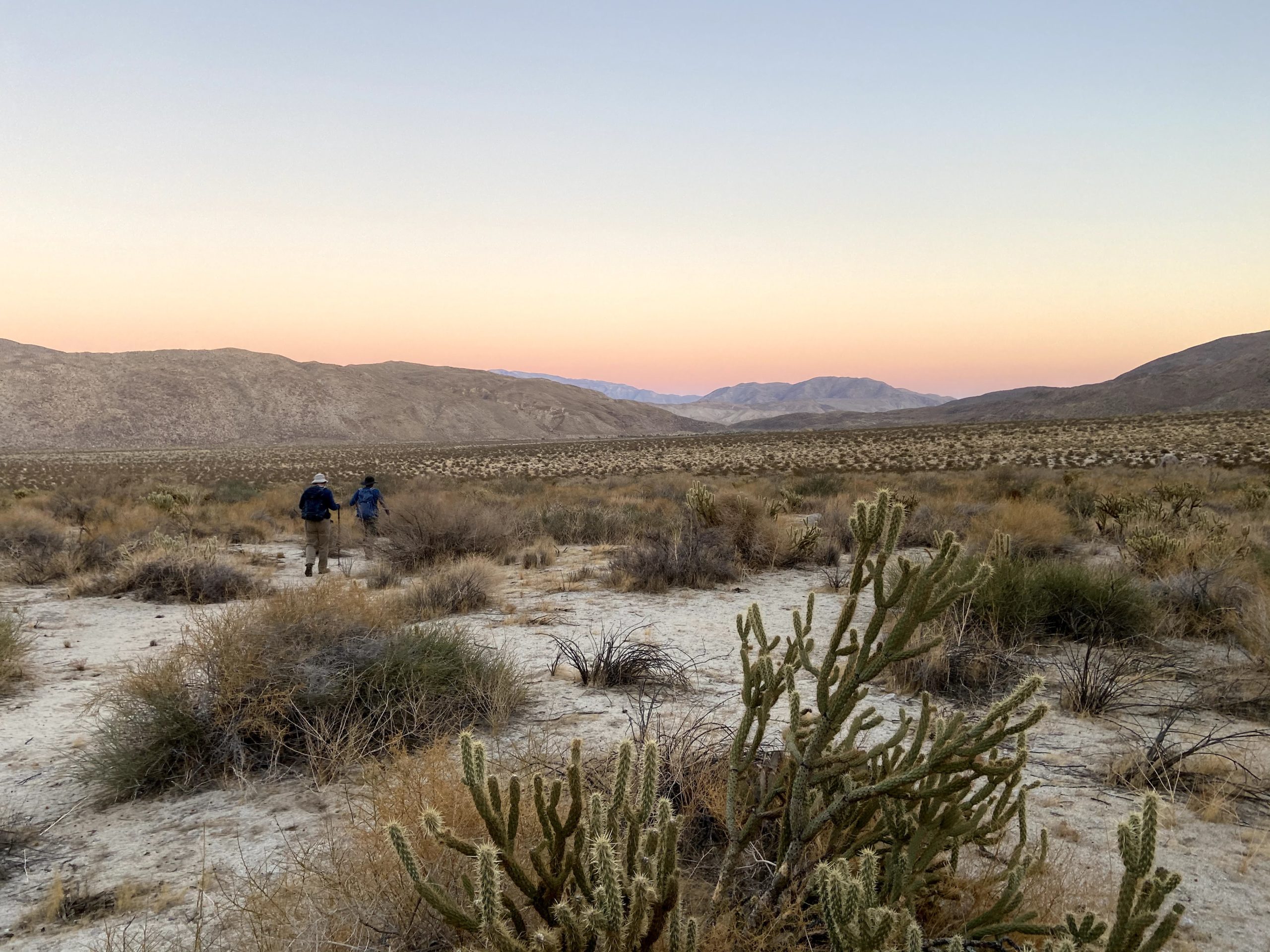
Our group met at 6 am at the guard shack at Los Coyotes and waited for Gina to arrive and then escort us in. Once we were all there, we followed Gina up the road to the campground. Once there, we parked and got into two cars before continuing further back into the reservation. We parked near the cemetery and began our adventure. The hike is not extreme, but it is a canyon hike, so we have most of our elevation gain on our return from the summit. The seven of us (Susie Kara, Matt Bennett, Matt Hanan, Alberto Martinez, Laura Neuman, Gina, and myself) continued down the road toward the wash that would take us up over the ridge.
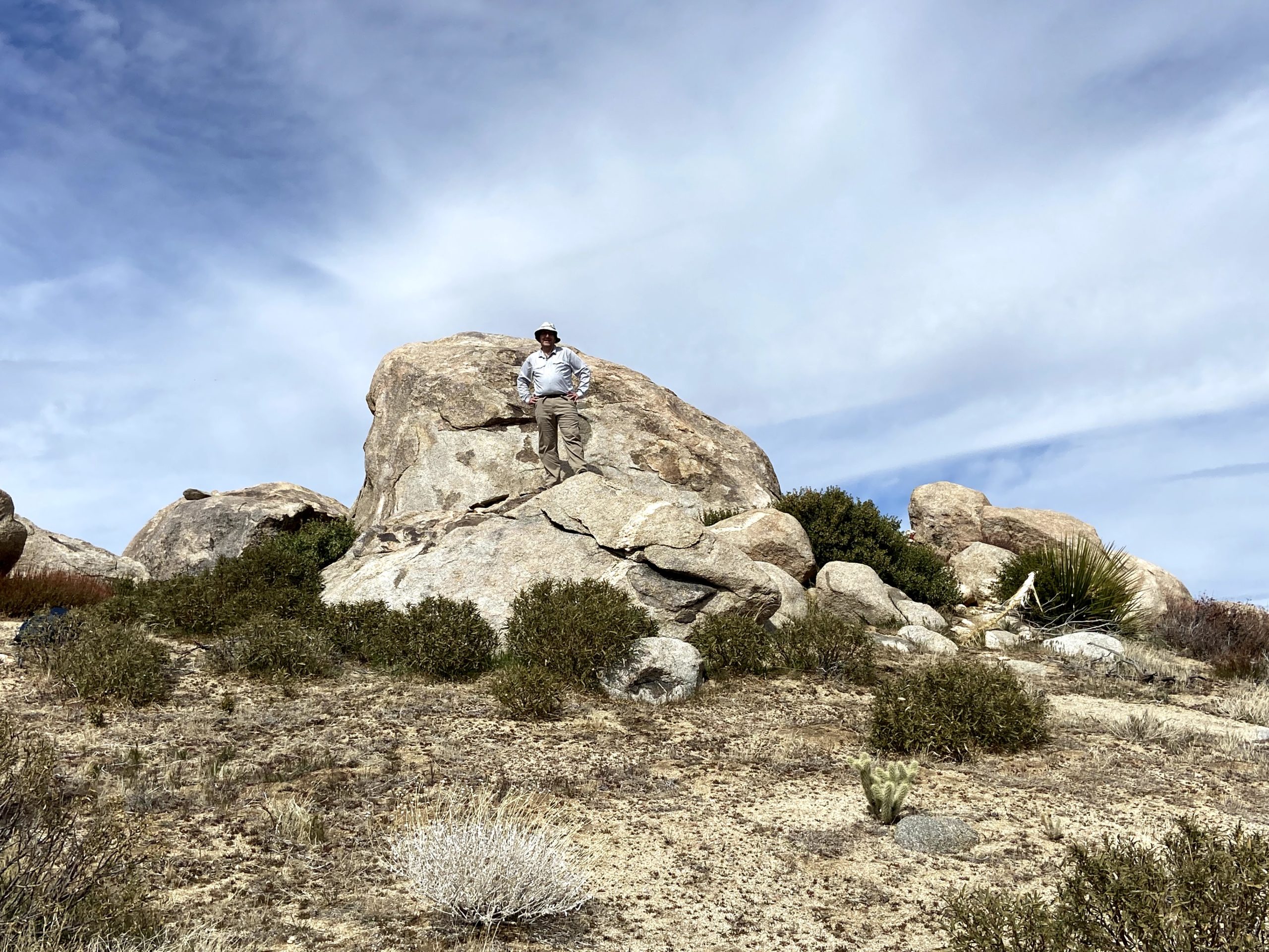
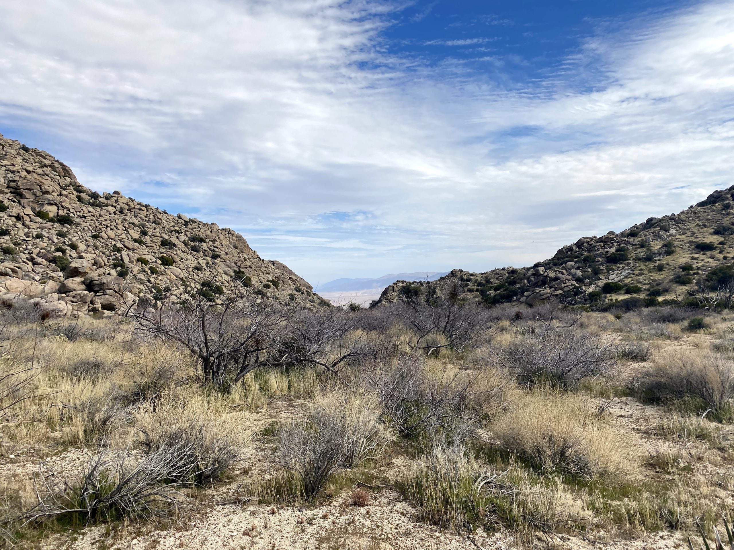
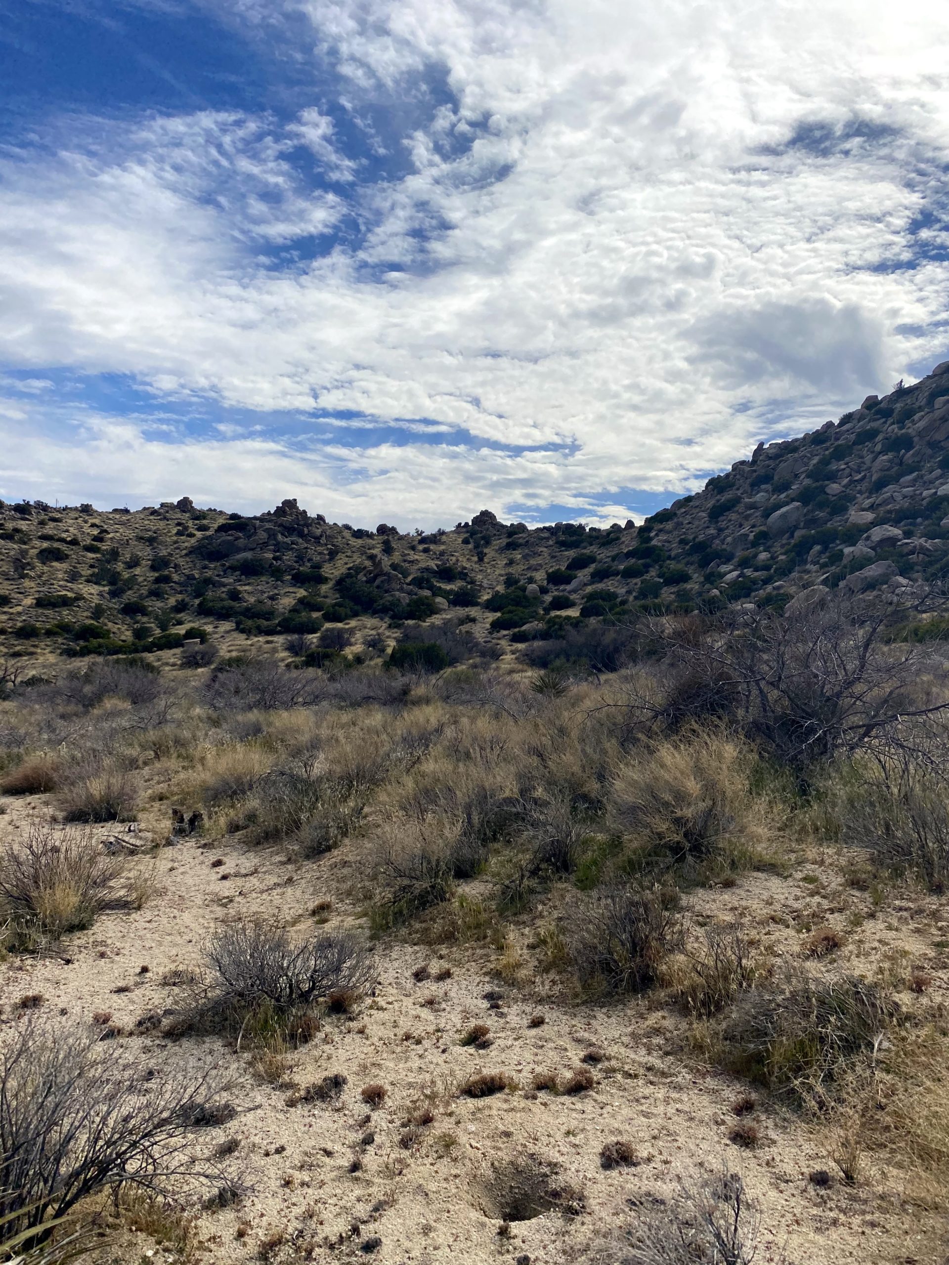
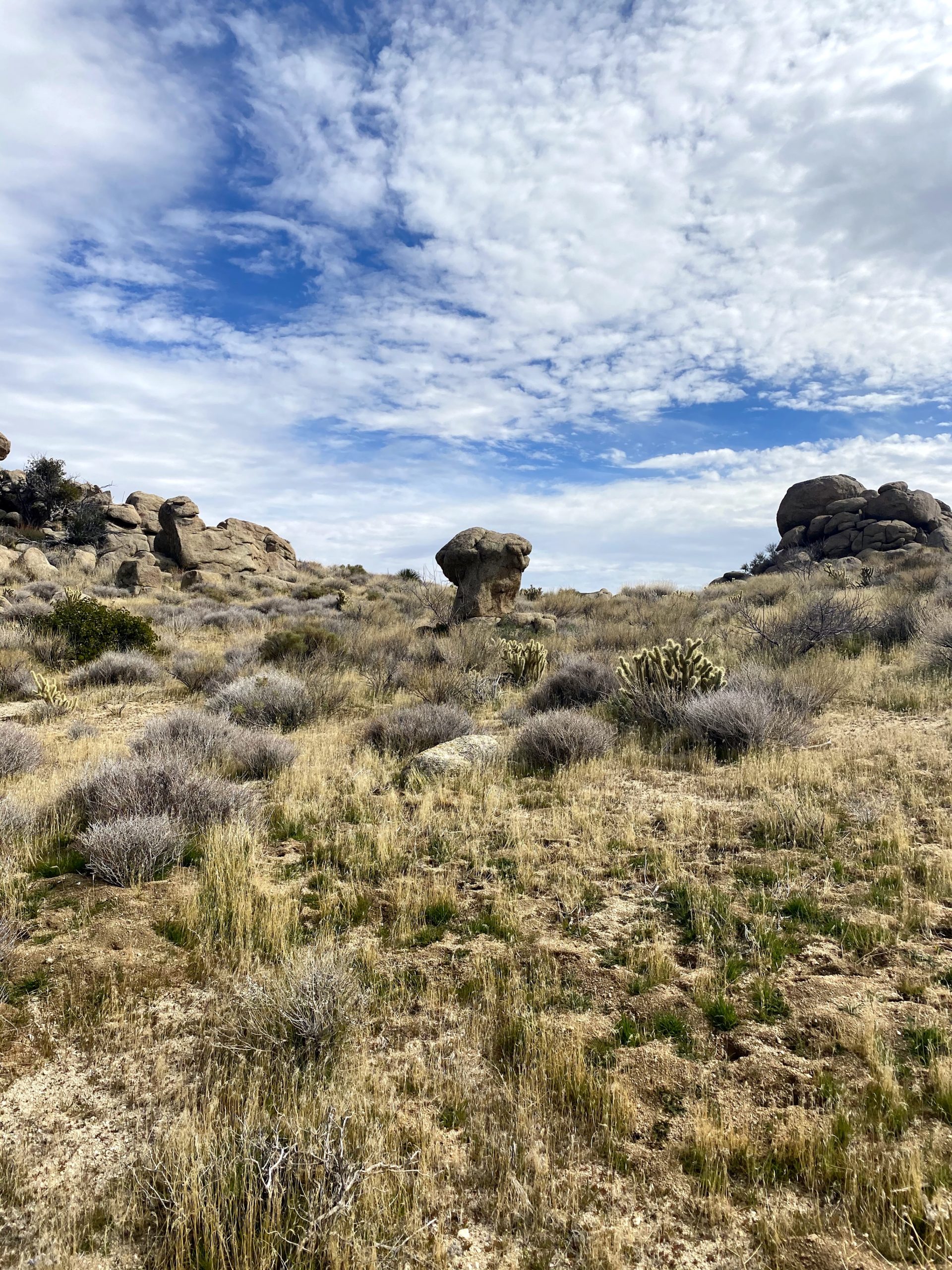
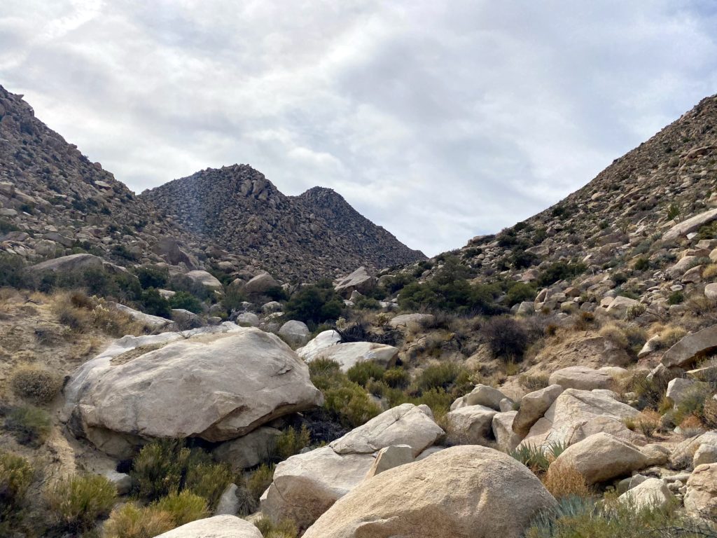
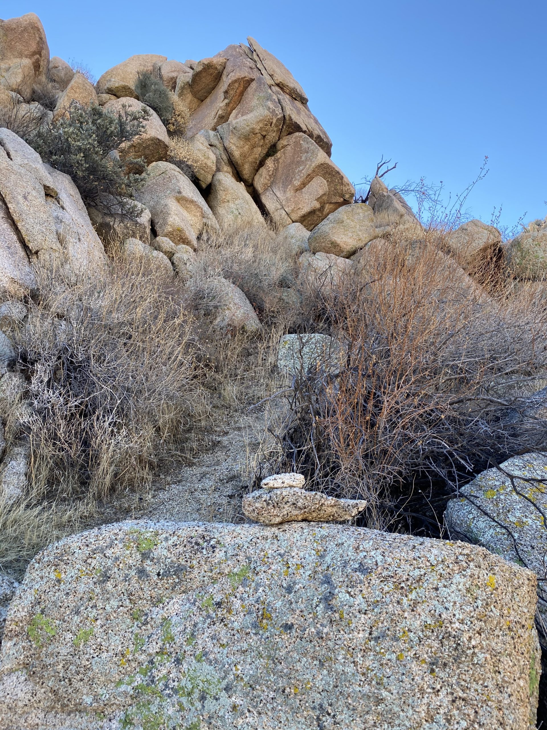
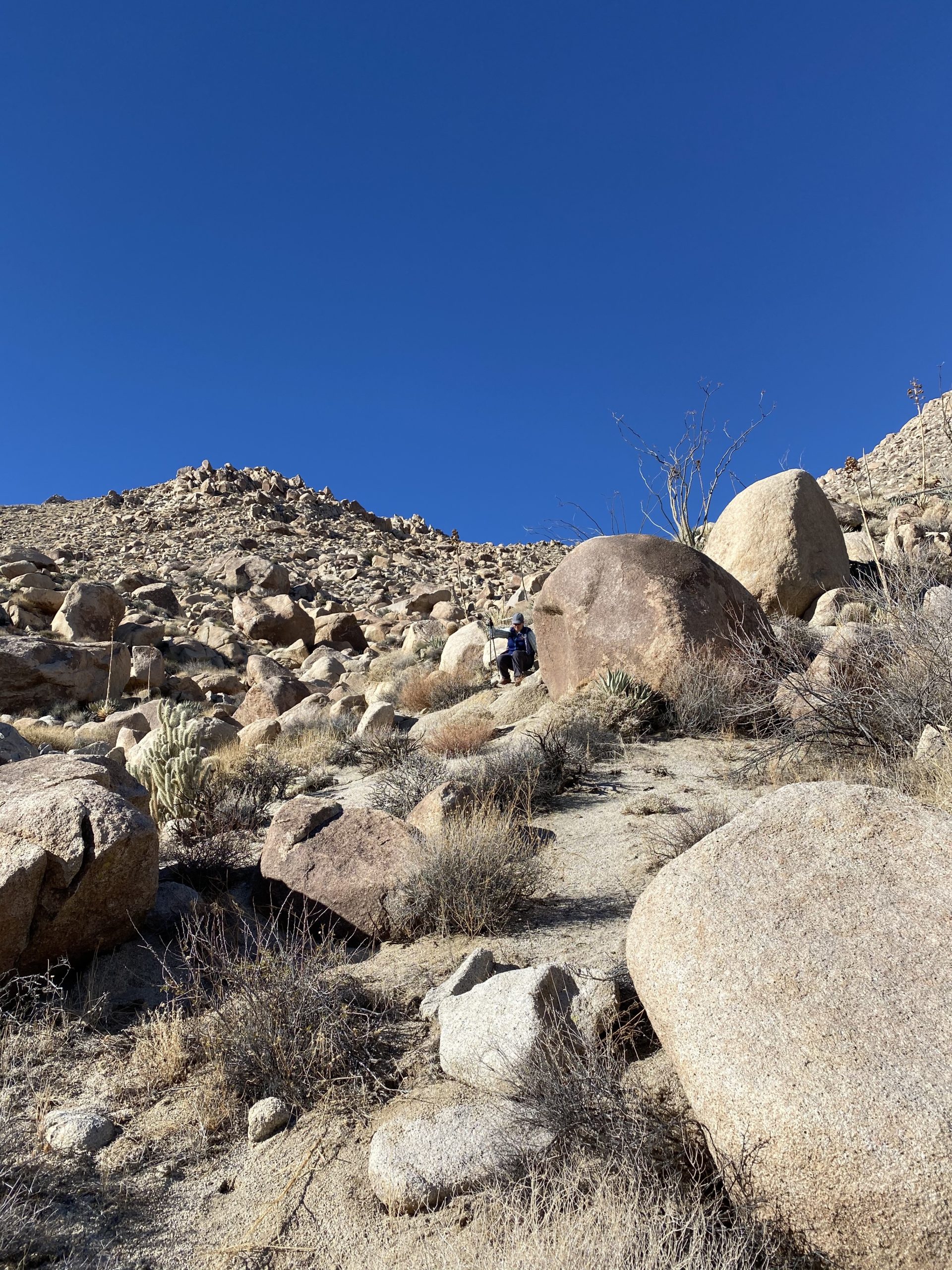
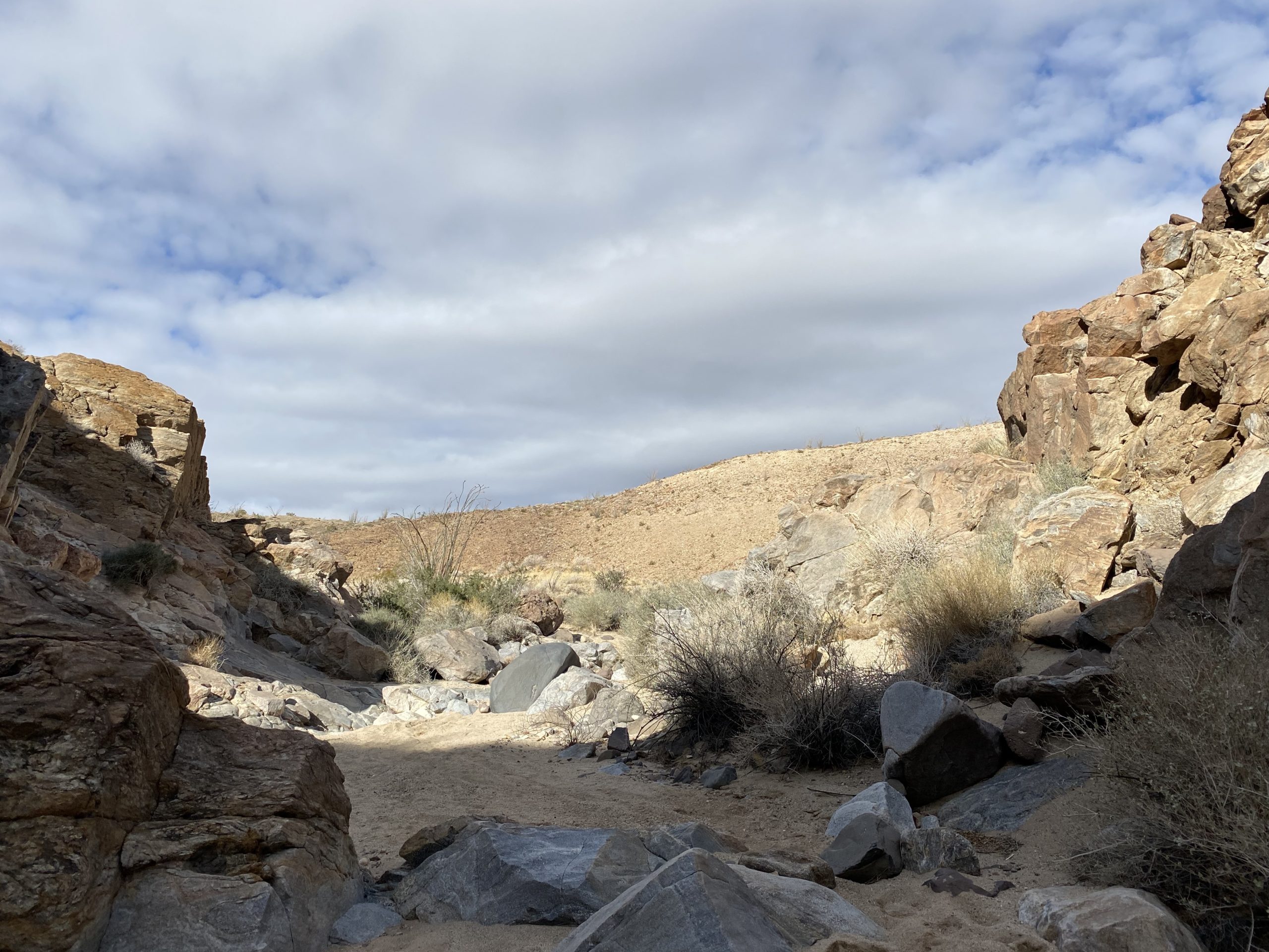
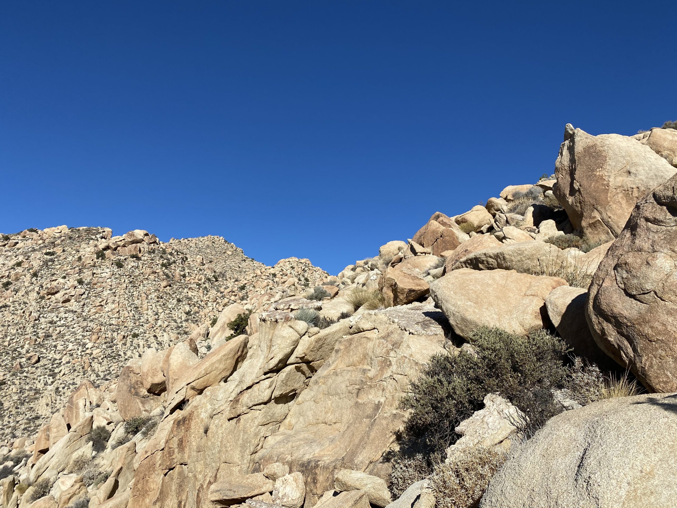
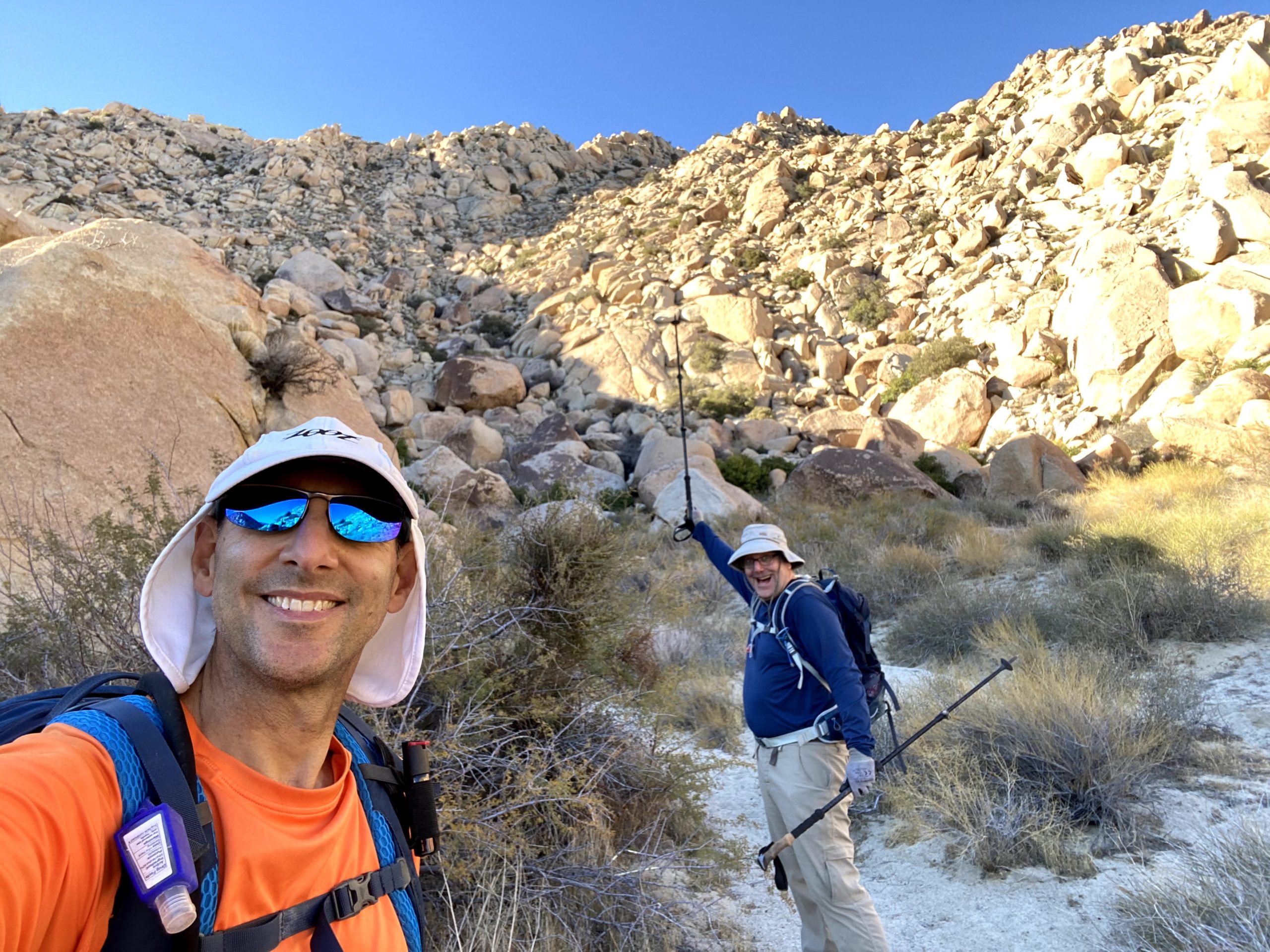
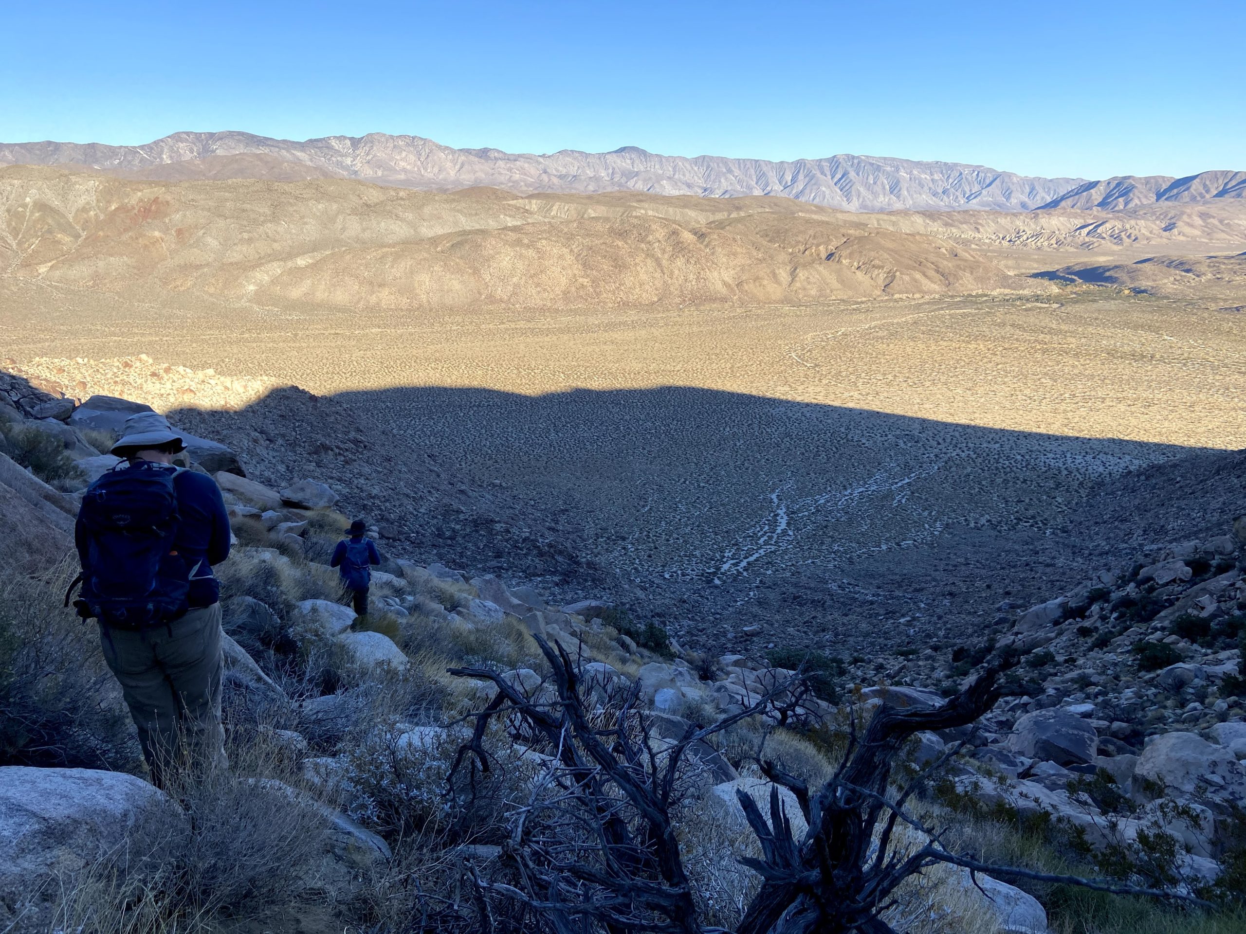
Passing under the tall oaks, we dropped down into a wide sandy wash and began working our way up toward a small saddle. Susie and I had hiked this portion last summer when we climbed Cody & Pike, so we knew the route (Gina also was very familiar with the region as well). The small fork that Susie and I missed last time got us again, but this time it was for just a brief moment. Once at the saddle, our group split up. There are three Sierra Club peaks that can be accessed via this route; Cody, Pike, and Palm Mesa High Point. Since I had climbed Cody & Pike already, I was only focused on Palm Mesa High Point. But Matt H. and Alberto were more interested in Cody & Pike since it was much easier to get them via this route. Depending on their speed, they might try to catch us and also summit Palm Mesa High Point. Matt B. offered to go with them, so we said our goodbyes and down the North Fork, we went. We knew from Greg Gerlach’s trip report that we should not have any major issues, sans a few dry waterfalls that we would need to bypass.
I realized that when we transferred cars, I forgot to grab my Gatorade and oranges from my cooler. Crud. I even told myself “Don’t forget to grab the stuff from the cooler”. I would just need to be a little cautious. I had 3 liters, plus my other food, so I should be ok.
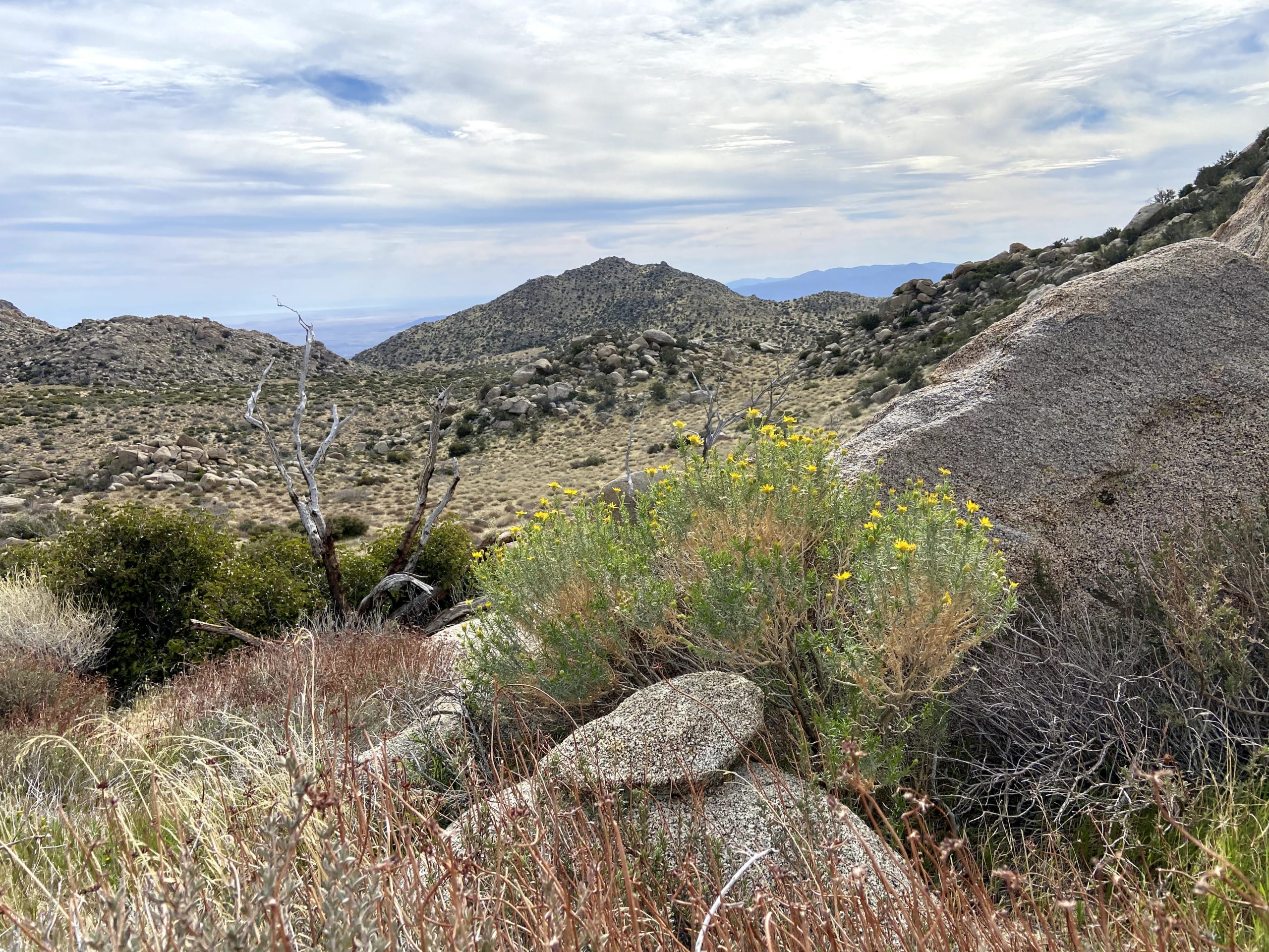
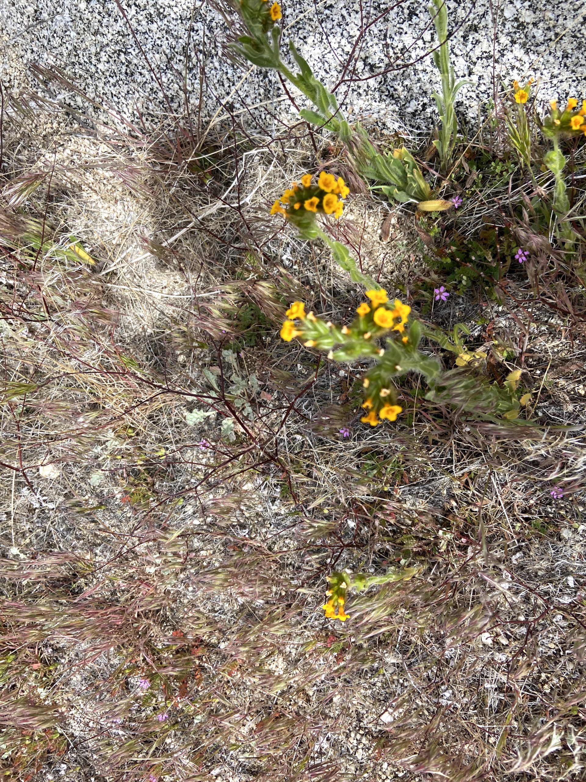
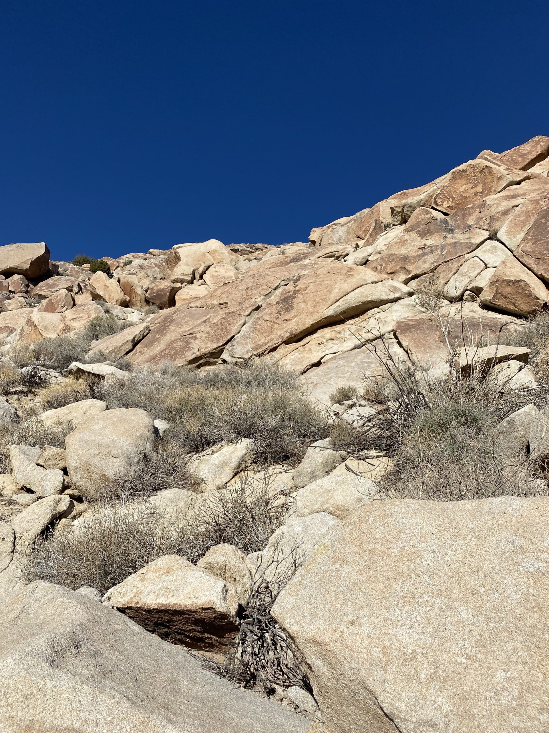
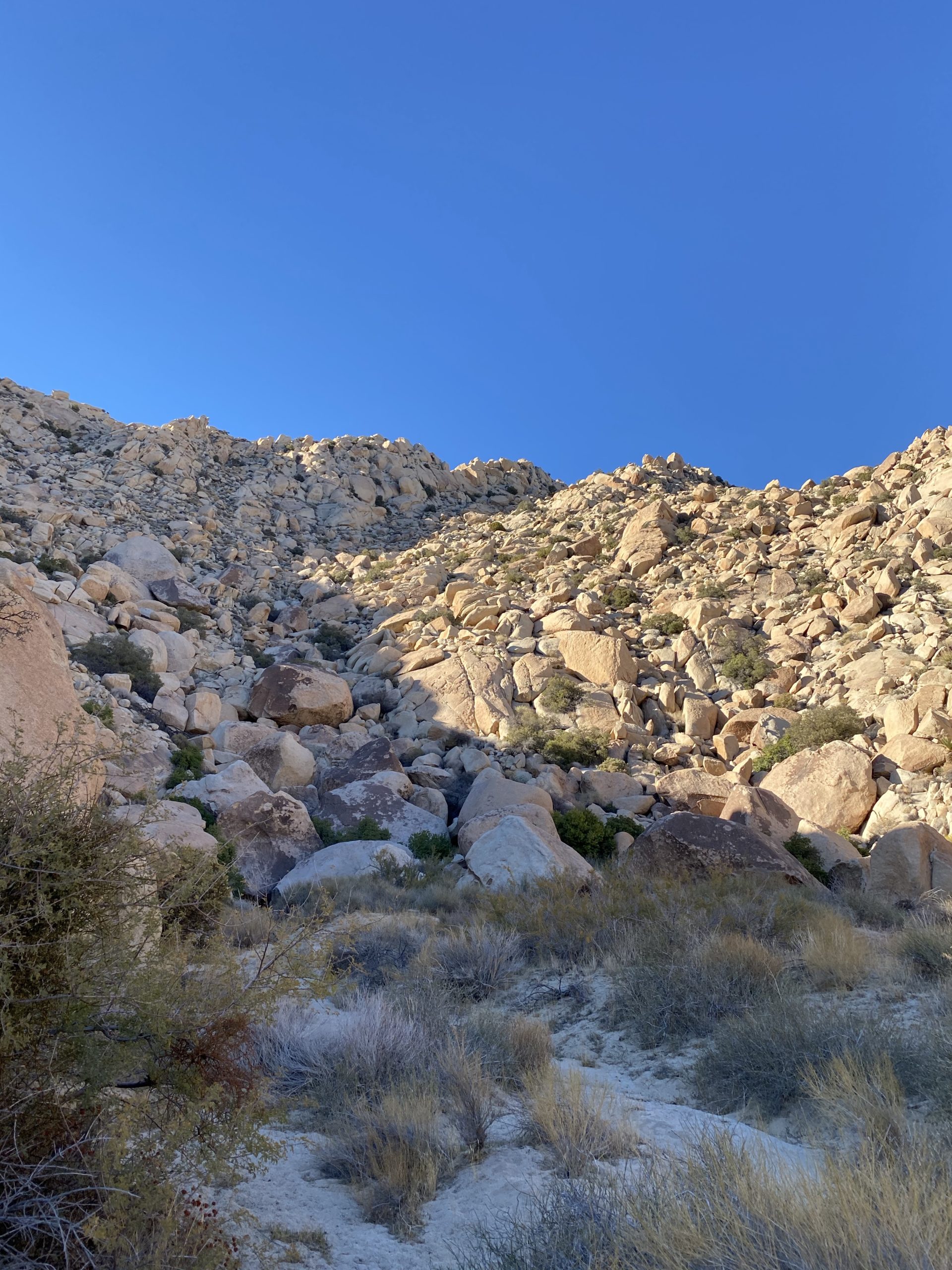
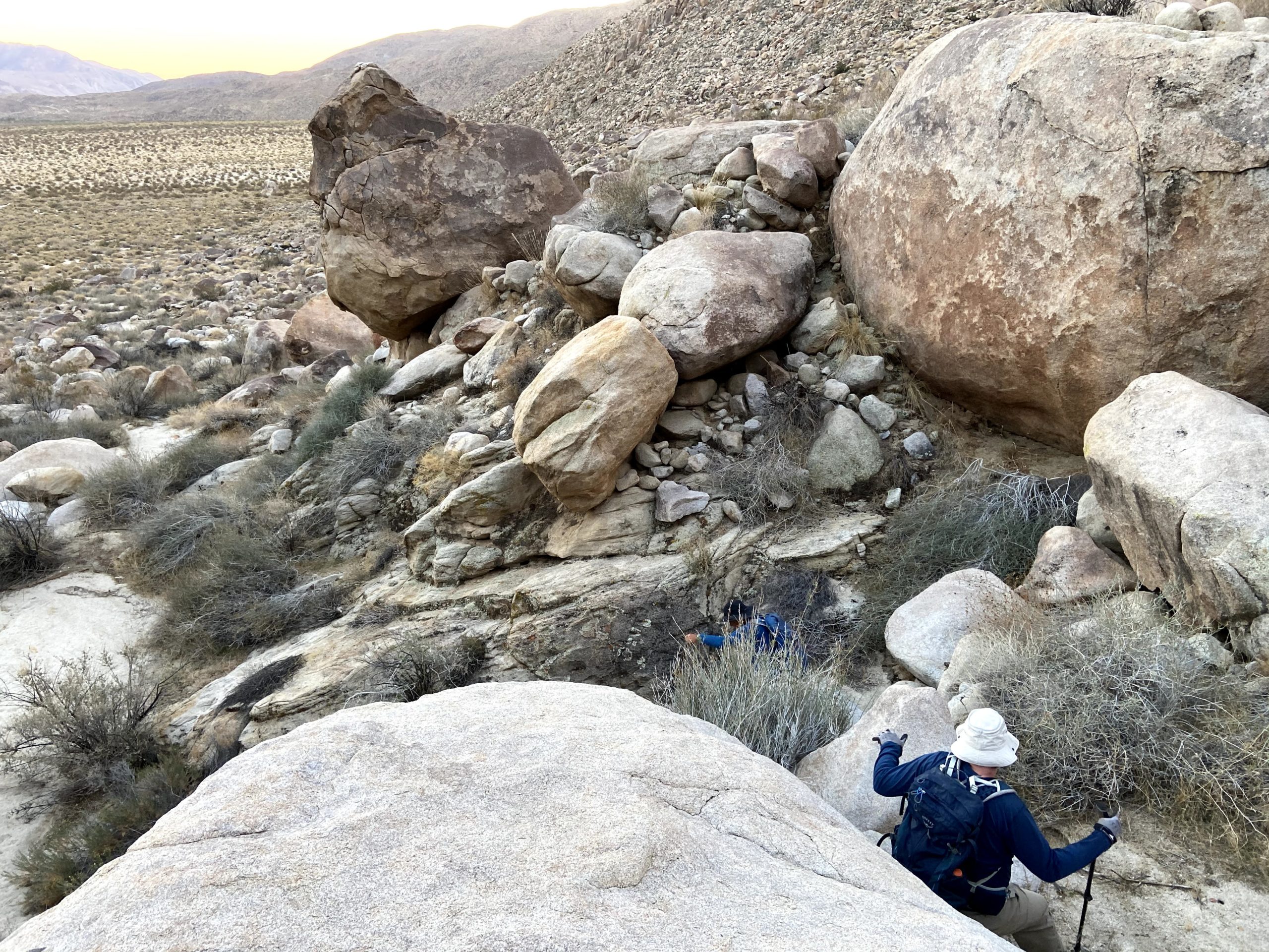
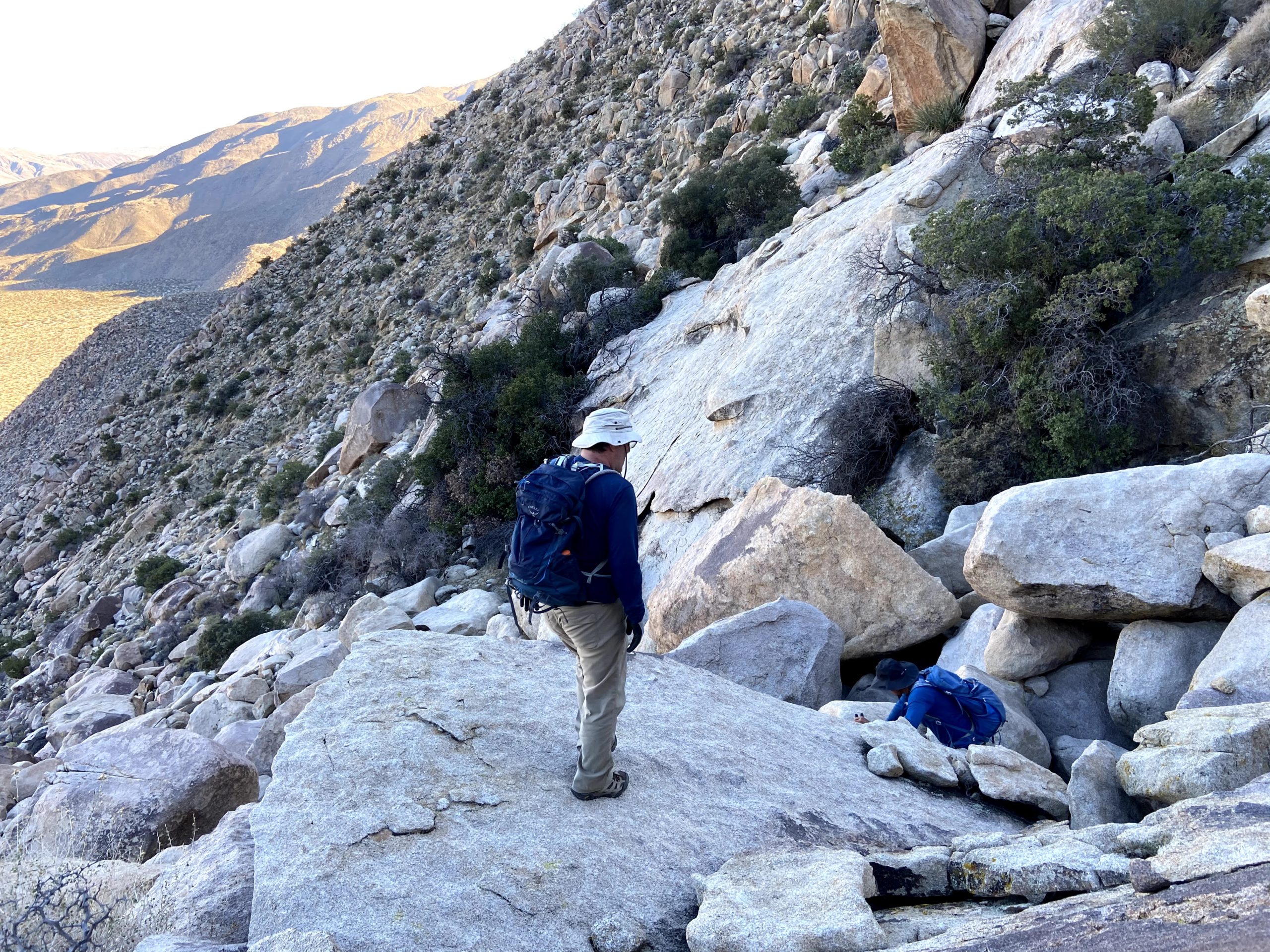
We passed Pike to our north and Cody to the south. There were some wildflowers scattered along the side of the wash, giving us some nice visuals. Finally, we started to encounter the first of our dry waterfalls. Susie had done some of this section when she, Matt B, and Greg Gerlach had done this hike back in 2019 as a backpacking trip. Some we were able to scale down, and a couple we bypassed. We took a short break and discovered we had several hitchhikers who had decided to attach themselves to our clothes. We picked off the ticks and checked each other, and would do so several more times during the hike.
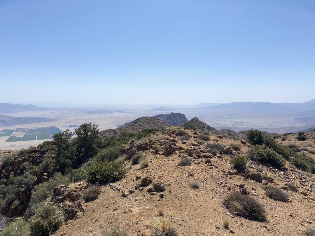
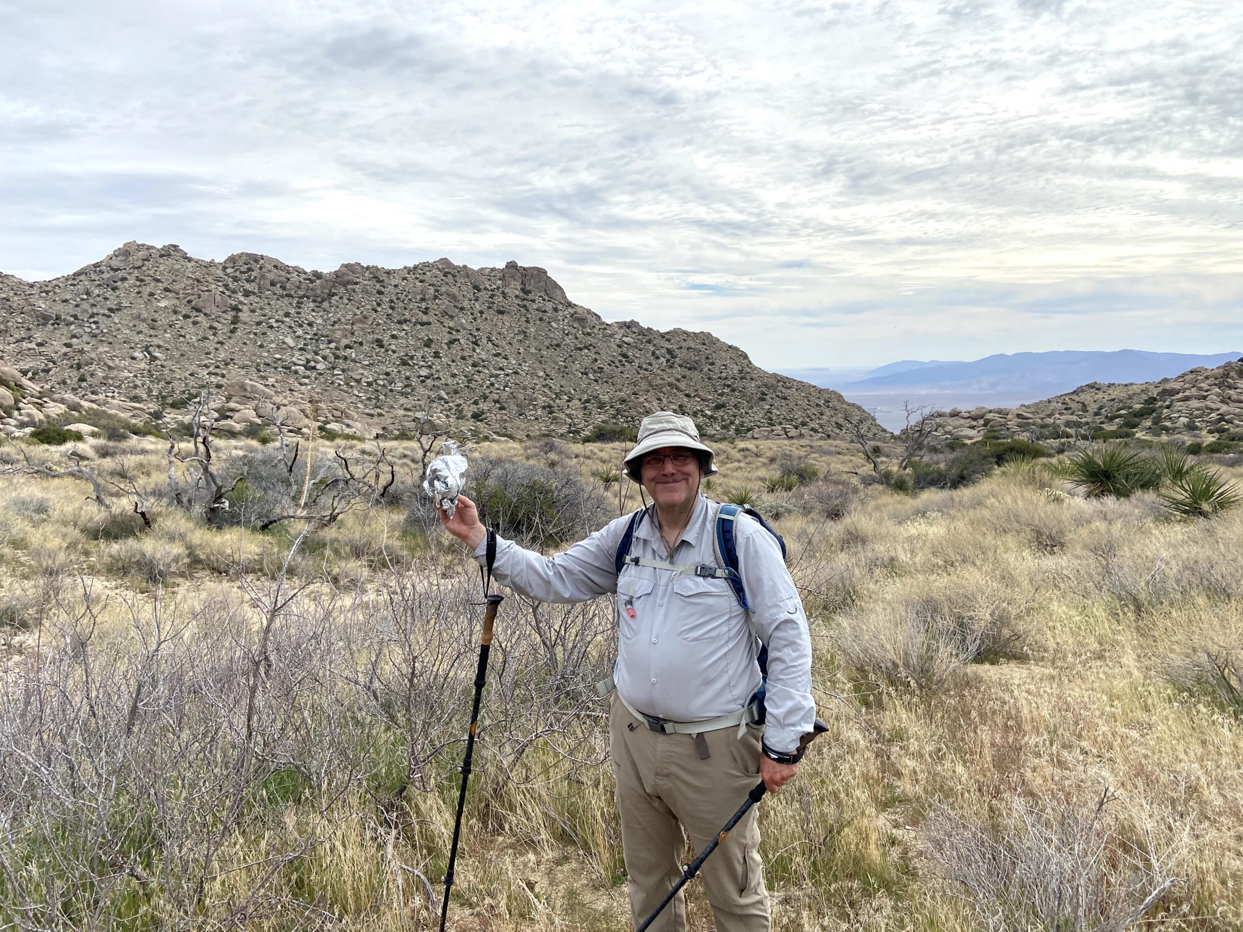
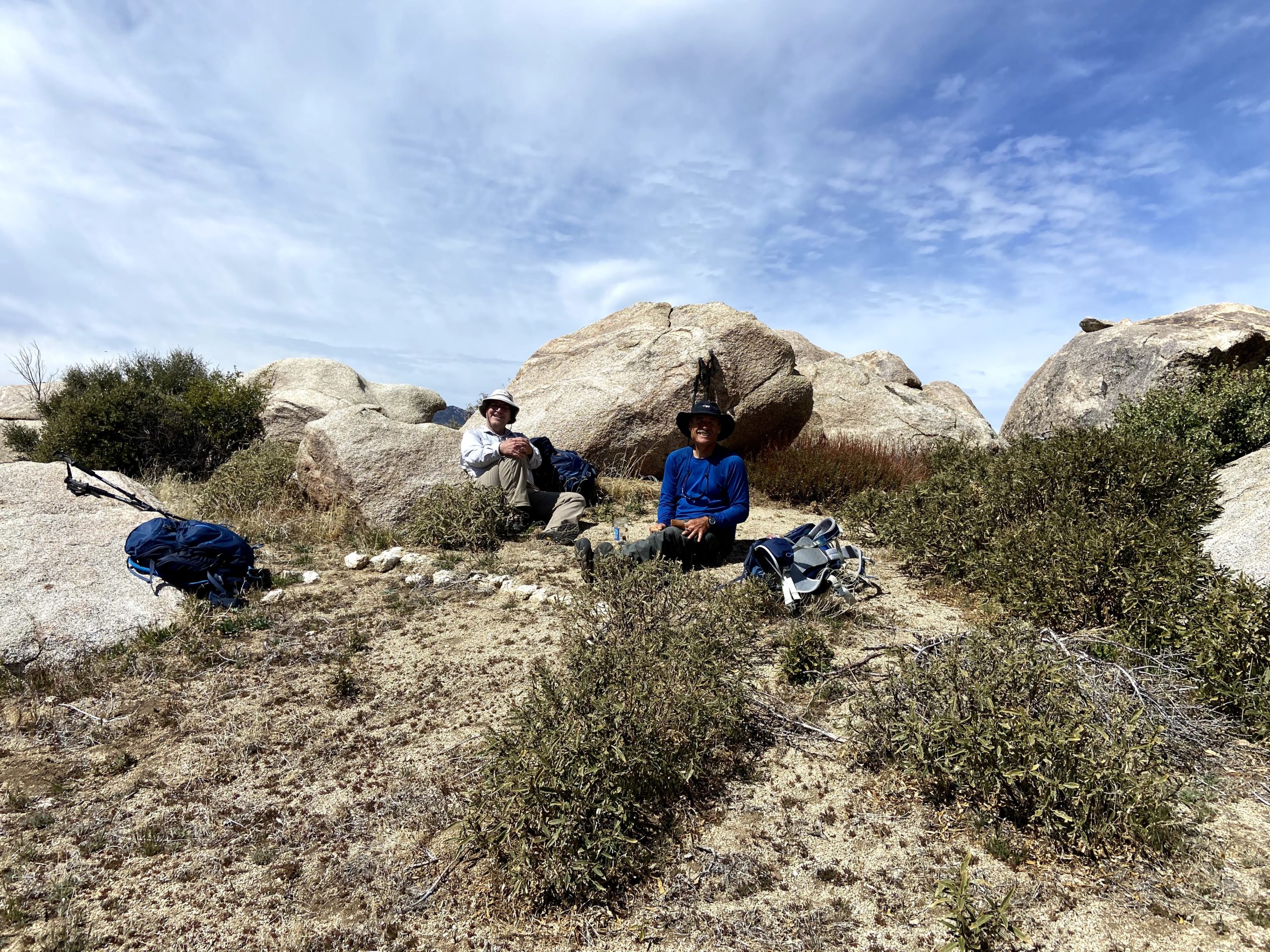
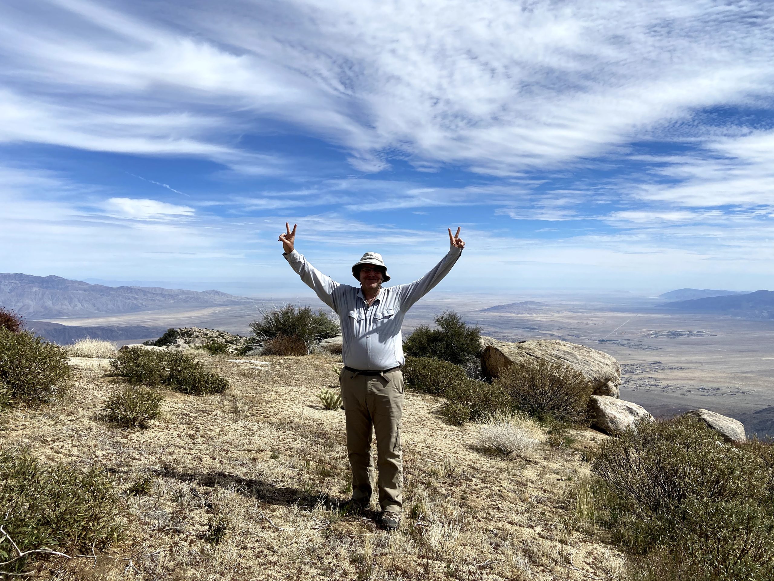
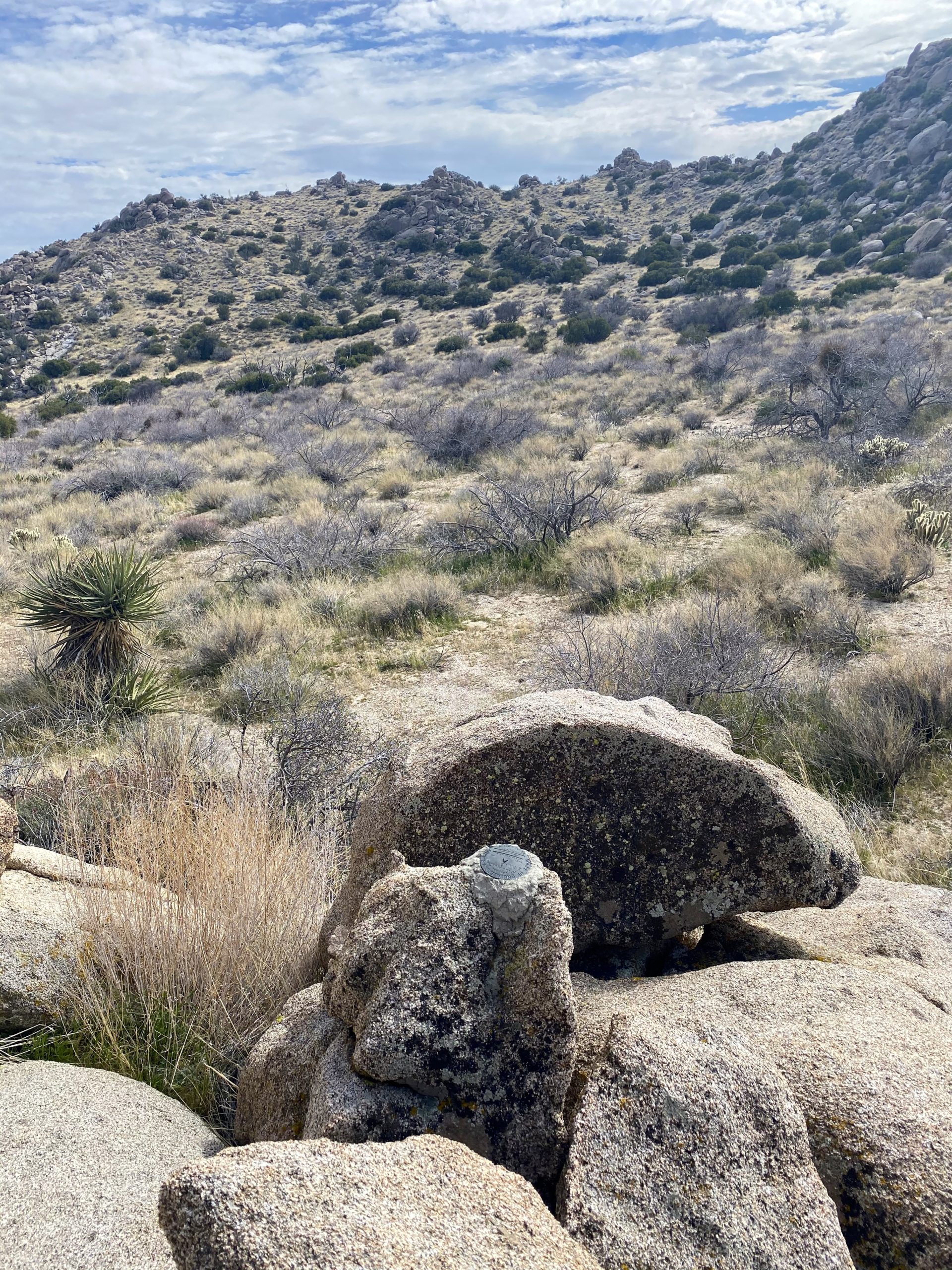
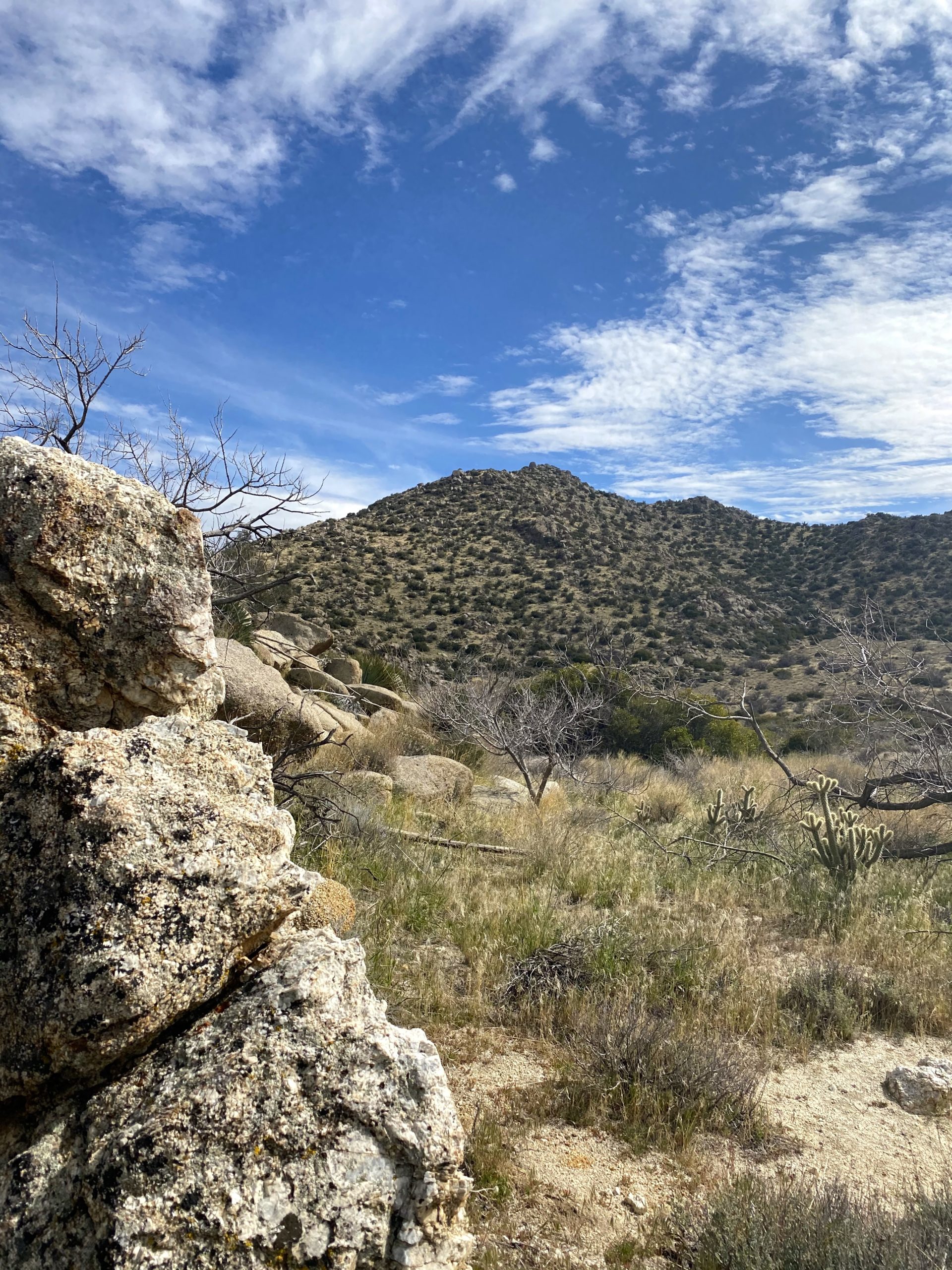
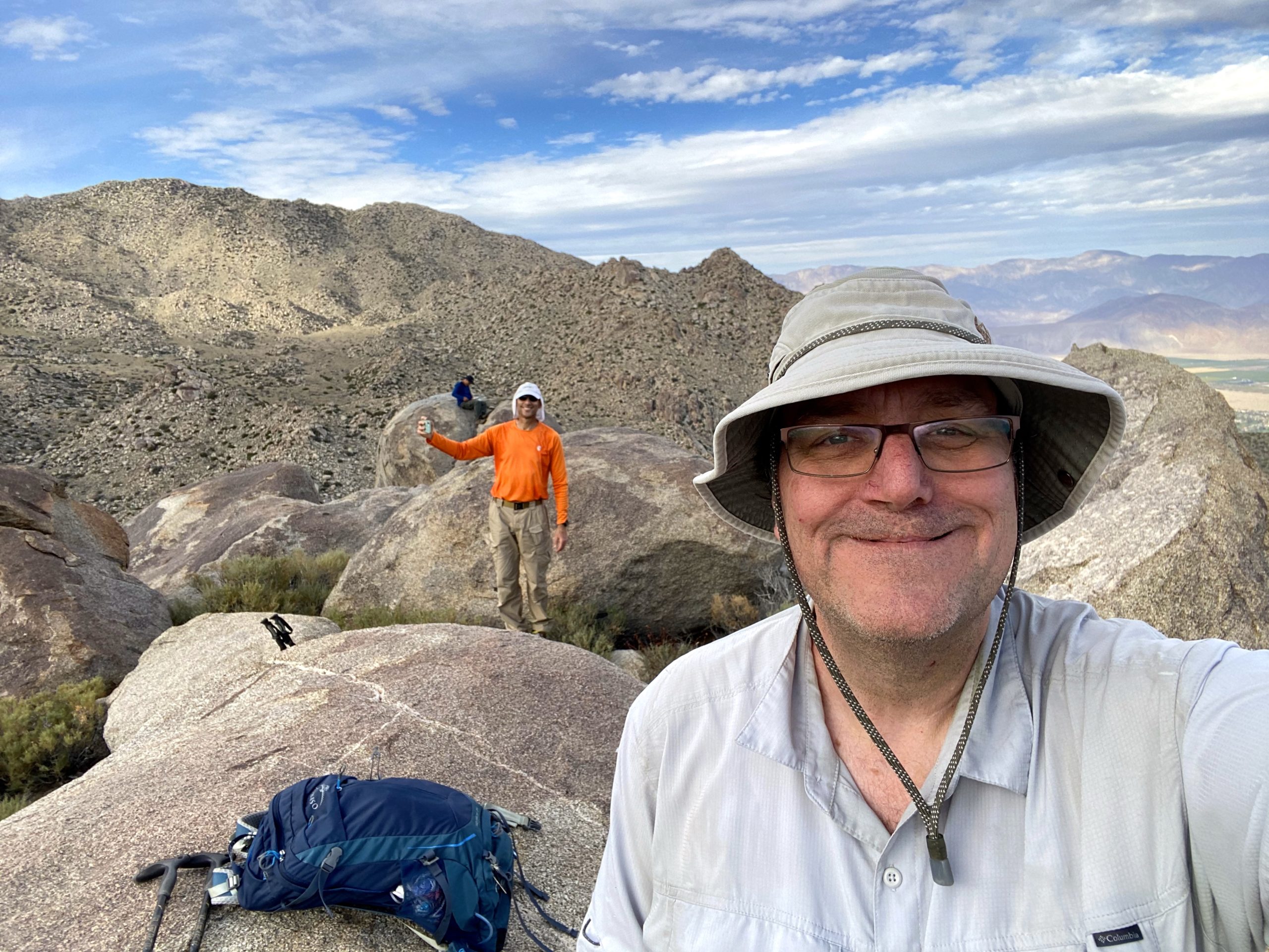
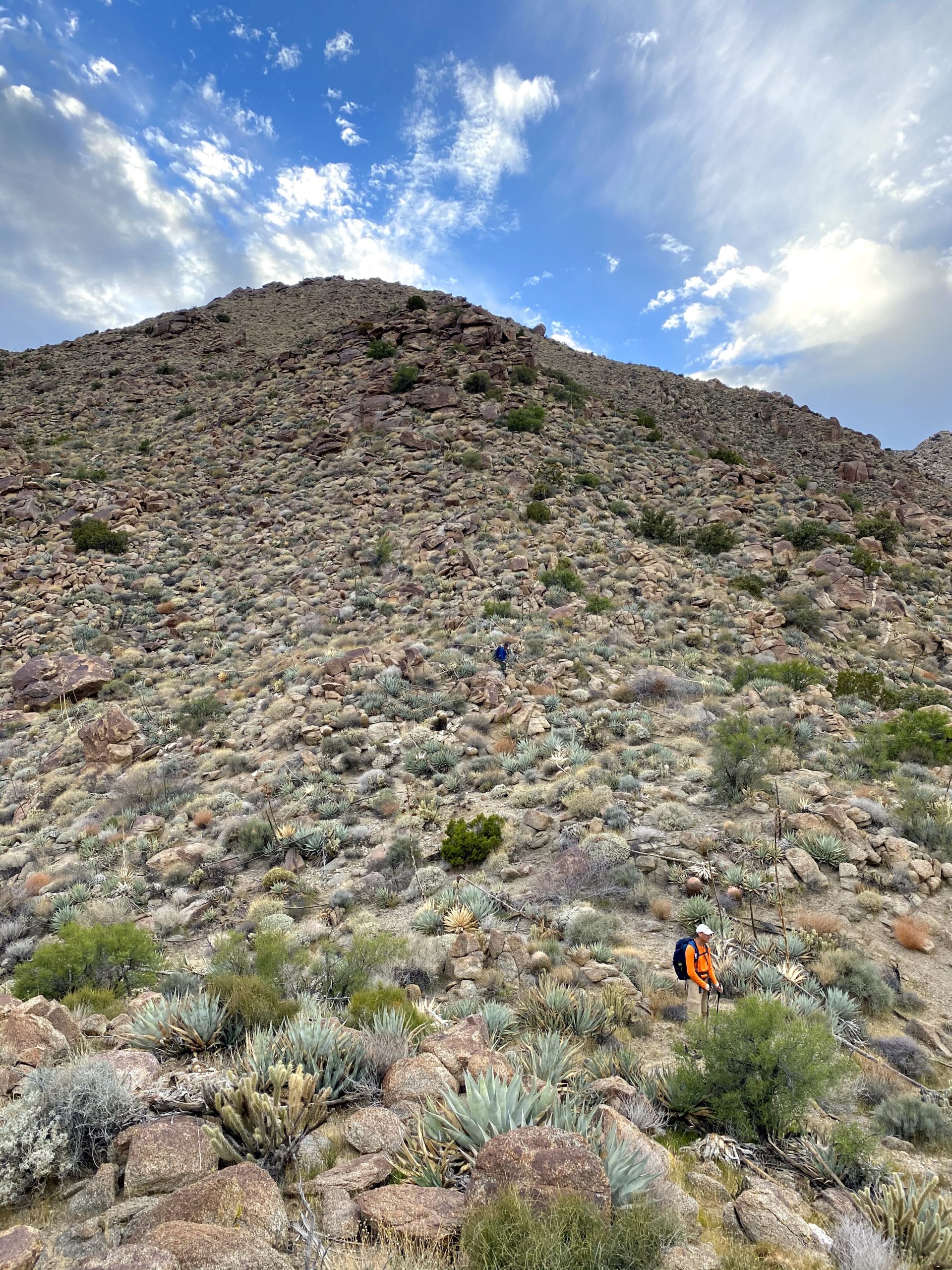
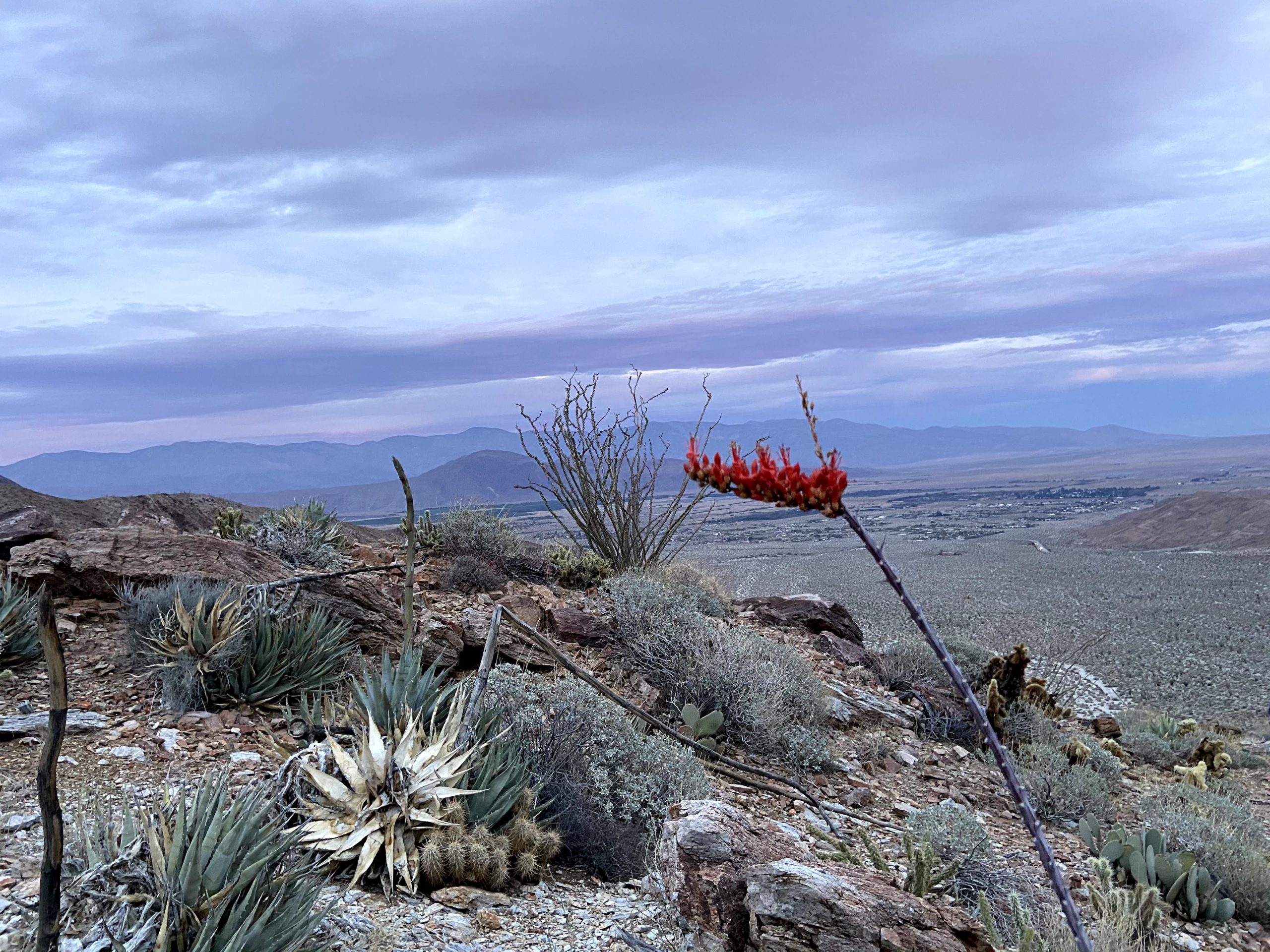
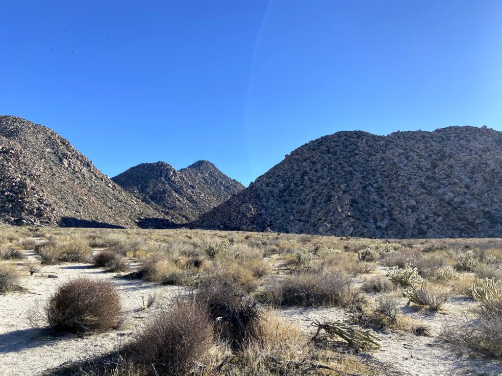
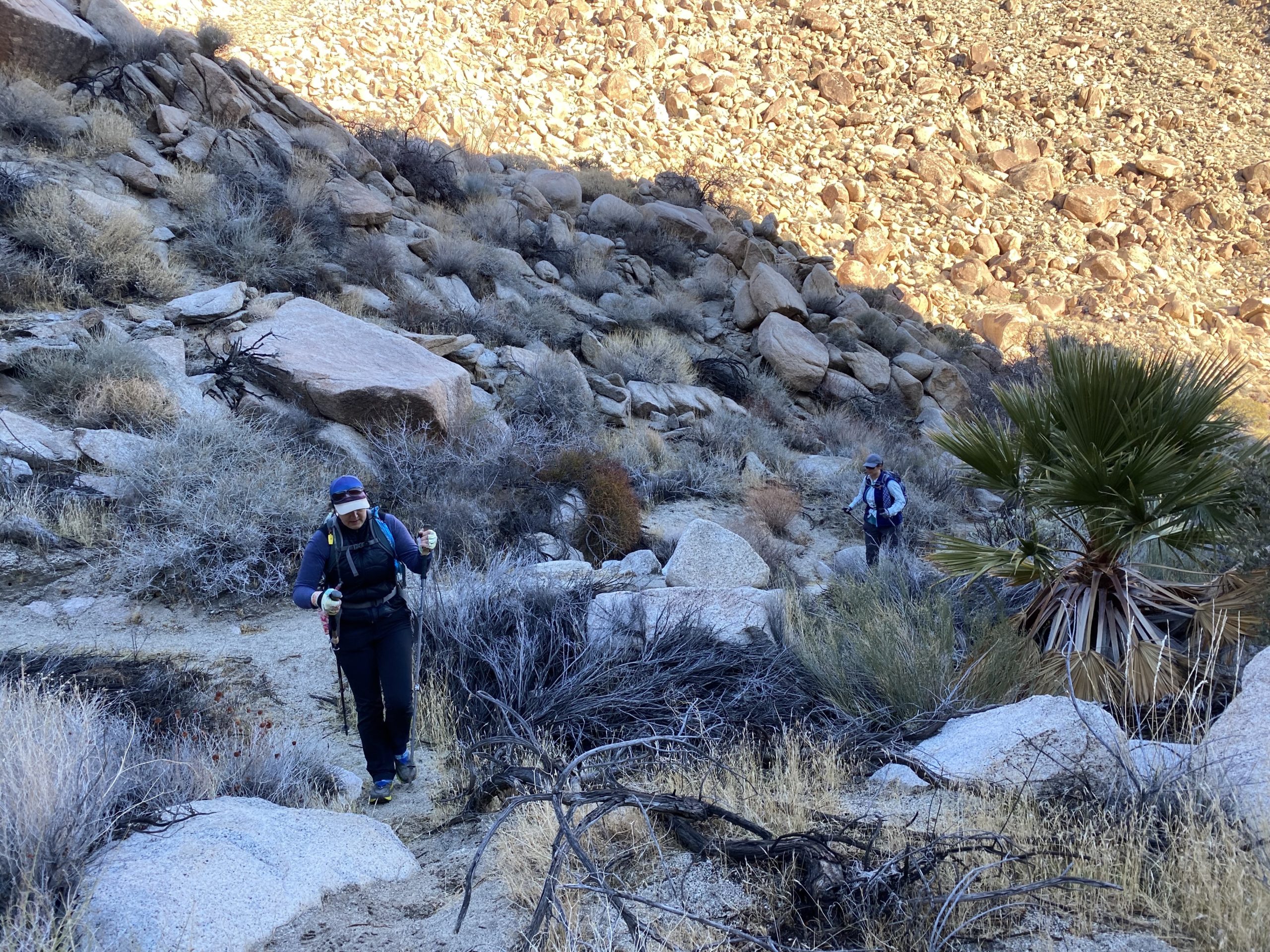
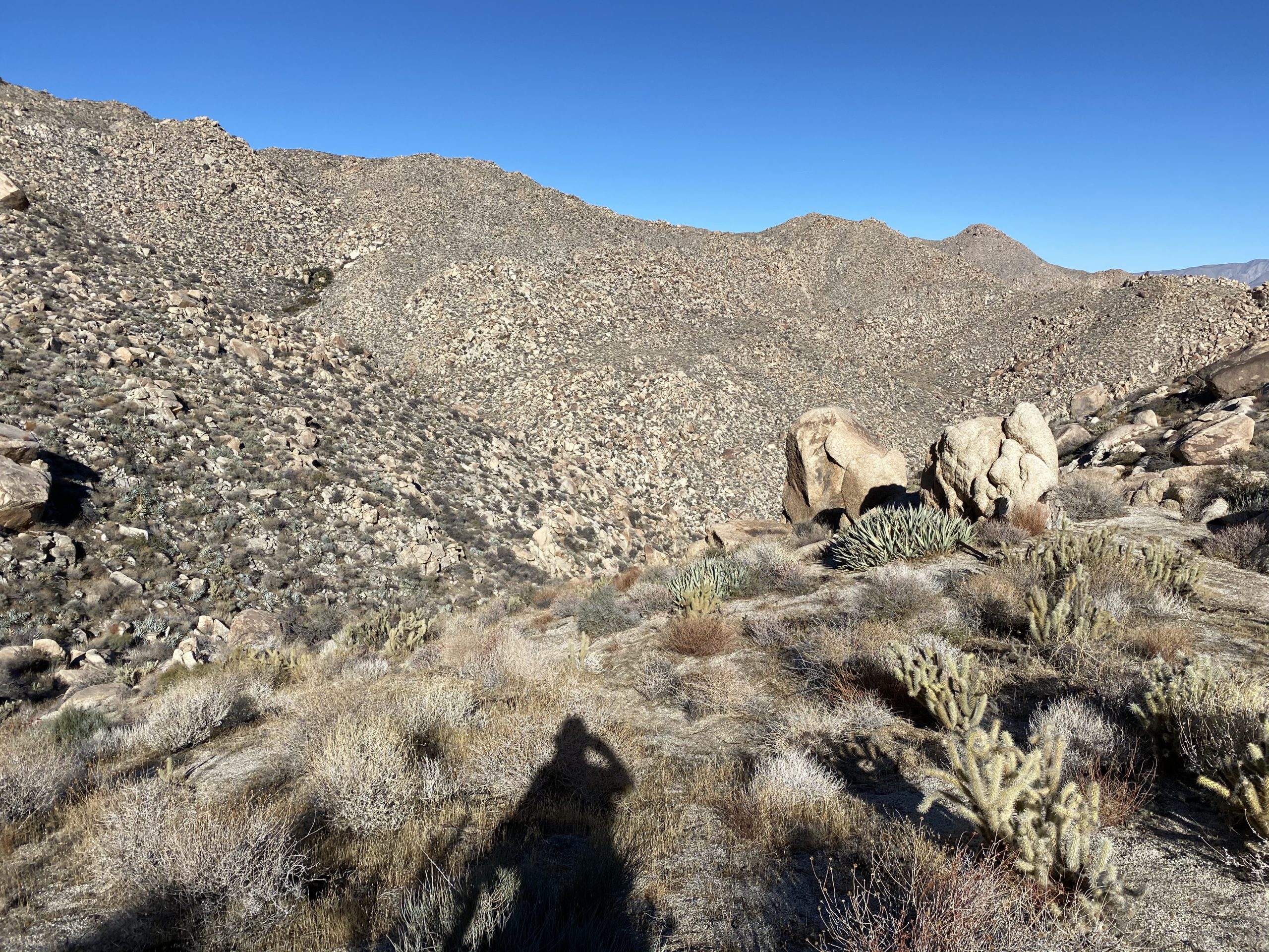
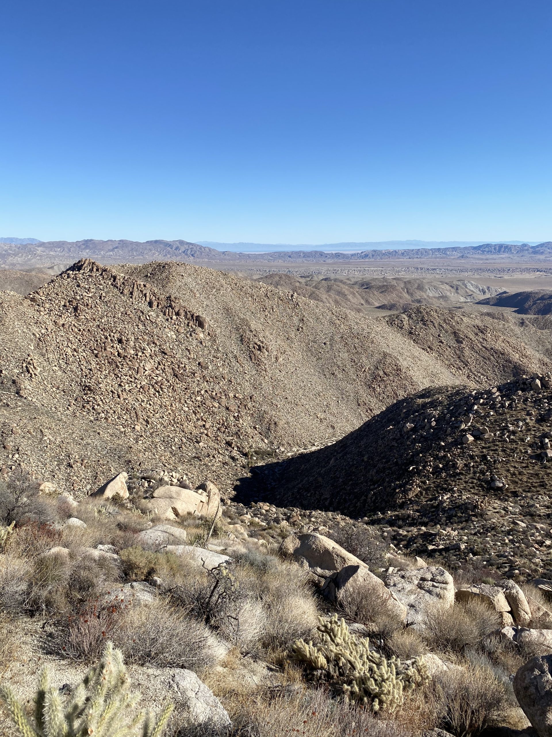
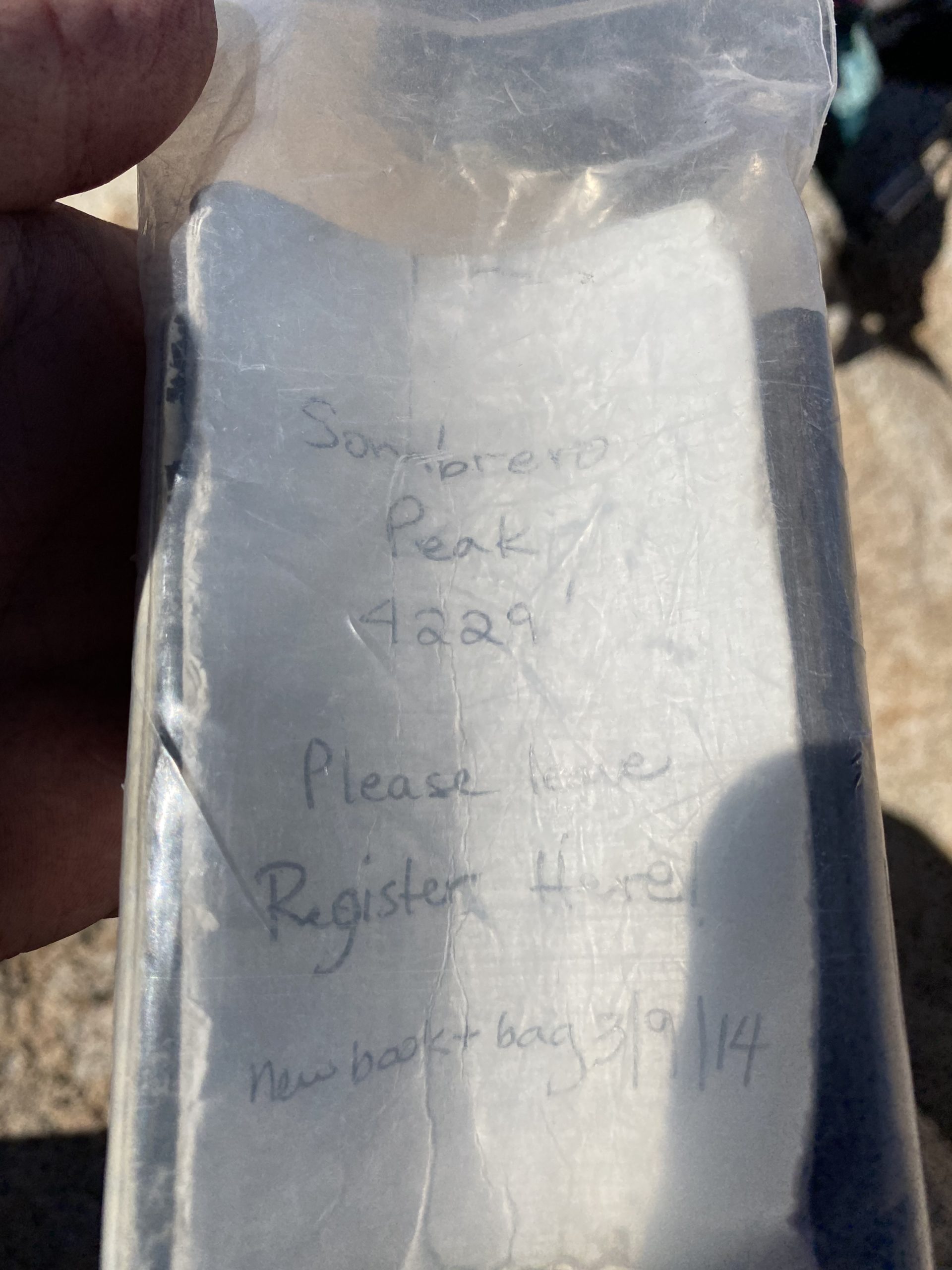
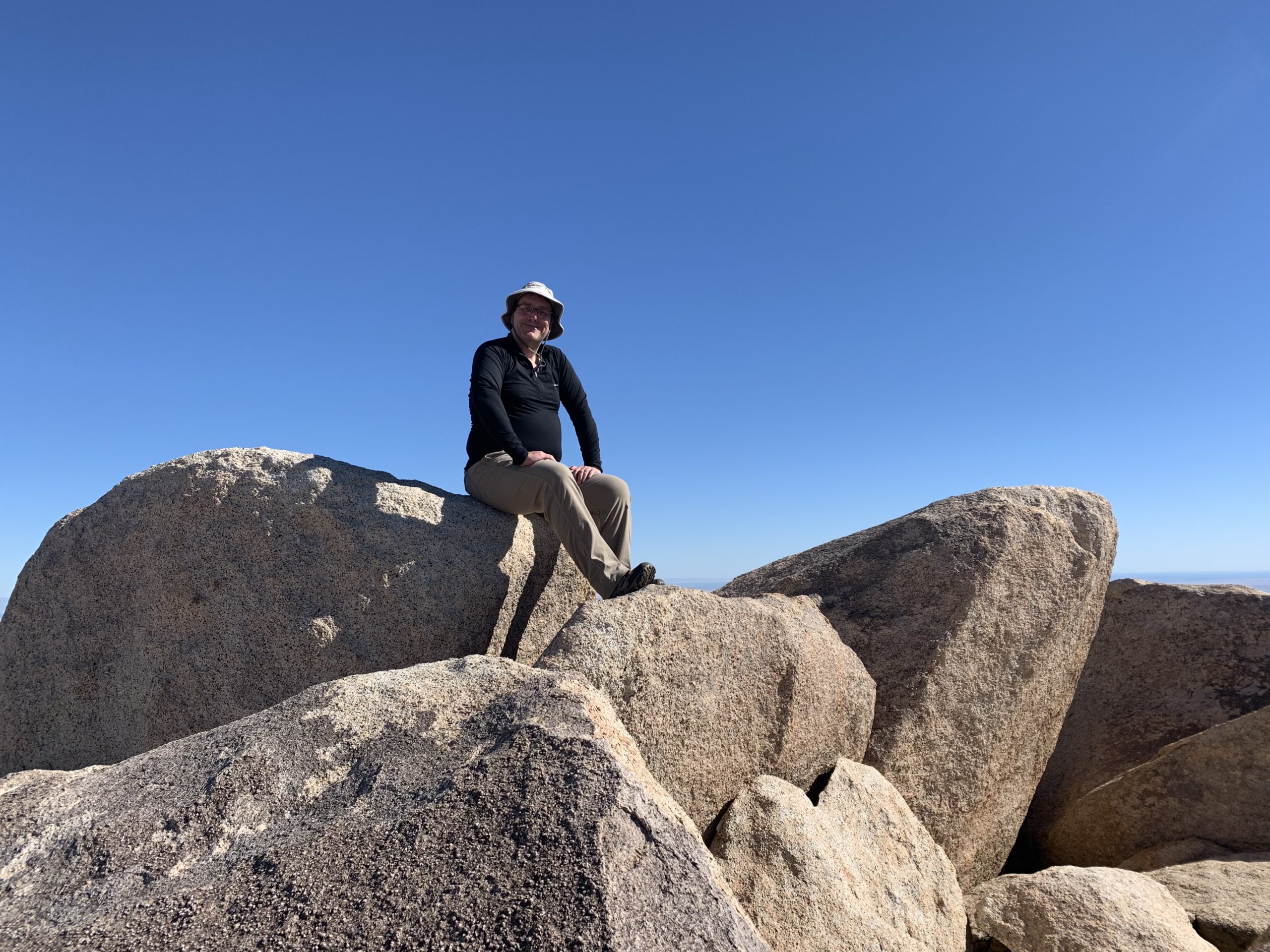
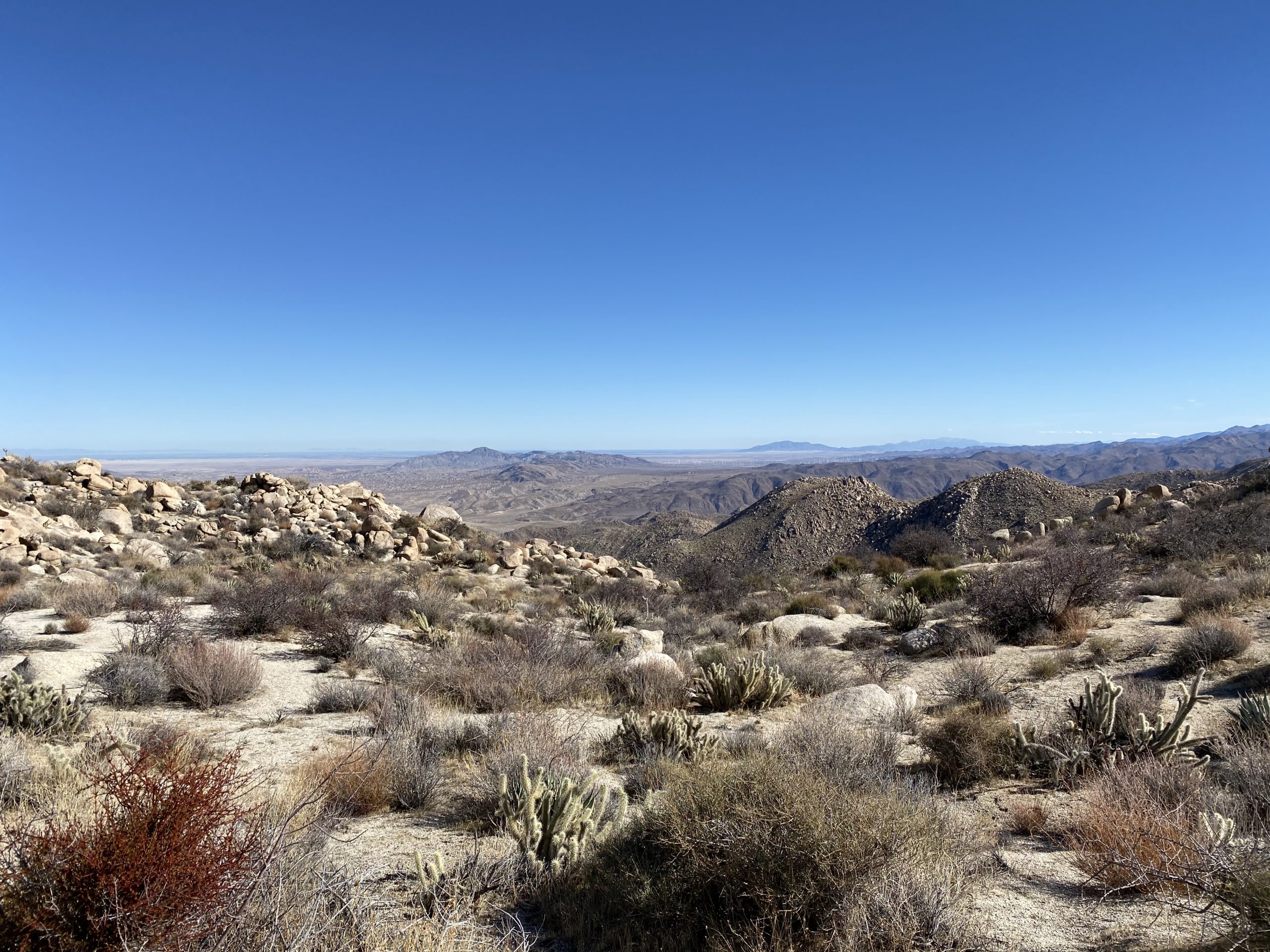
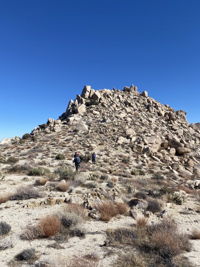
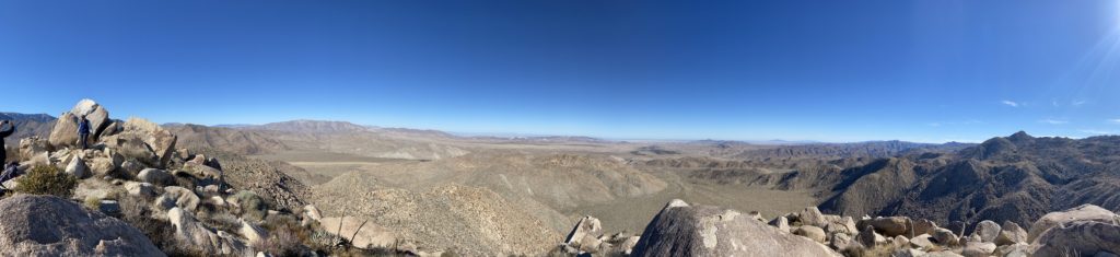
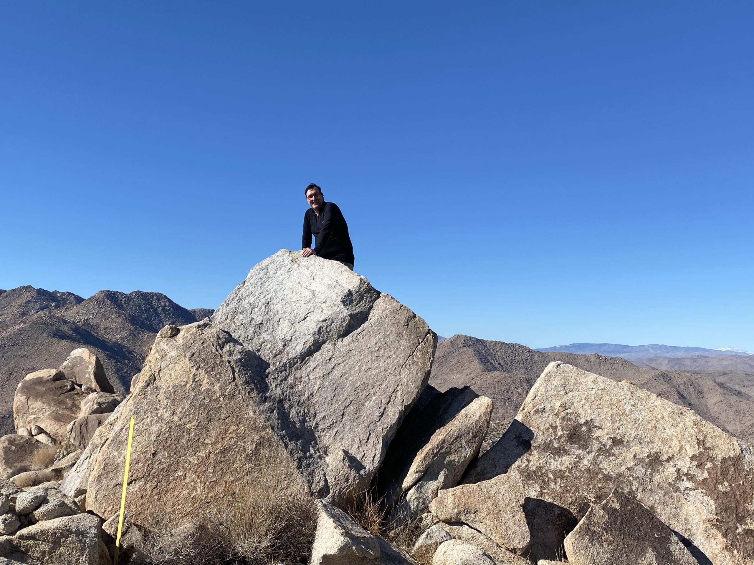
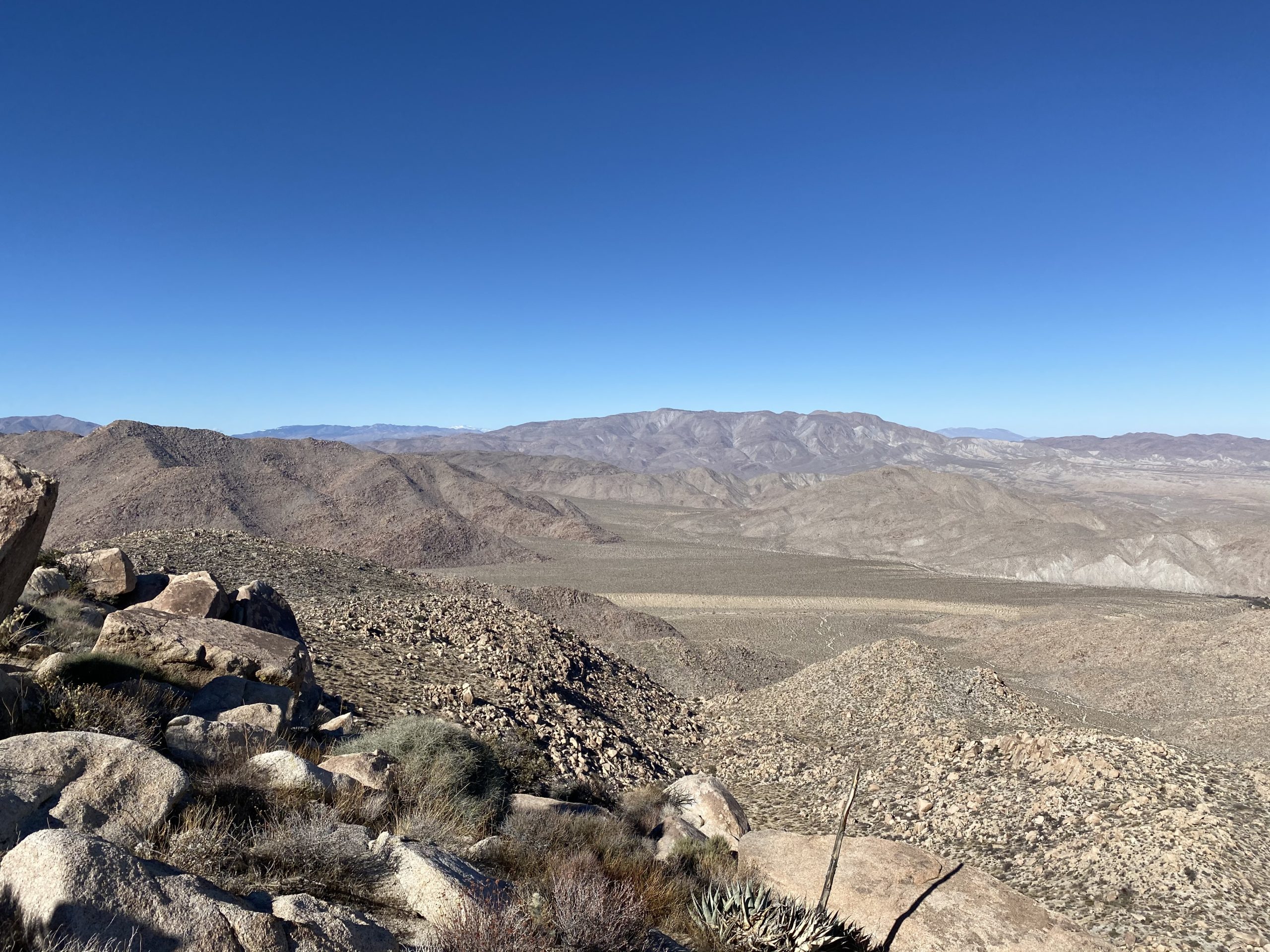
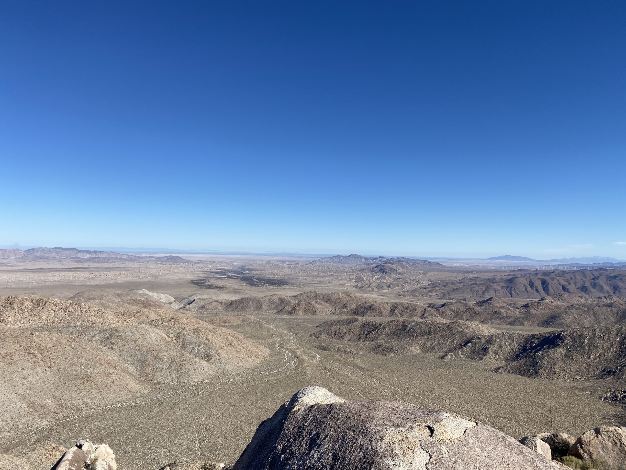
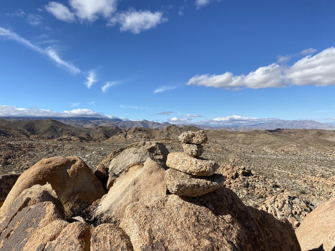
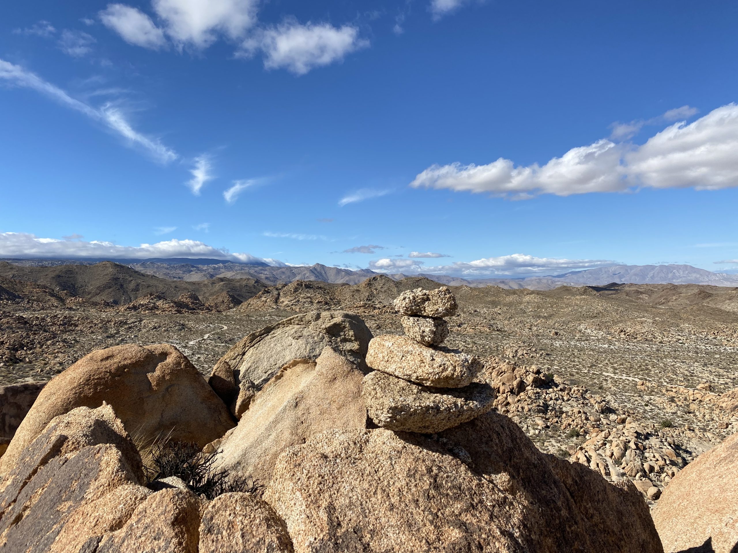
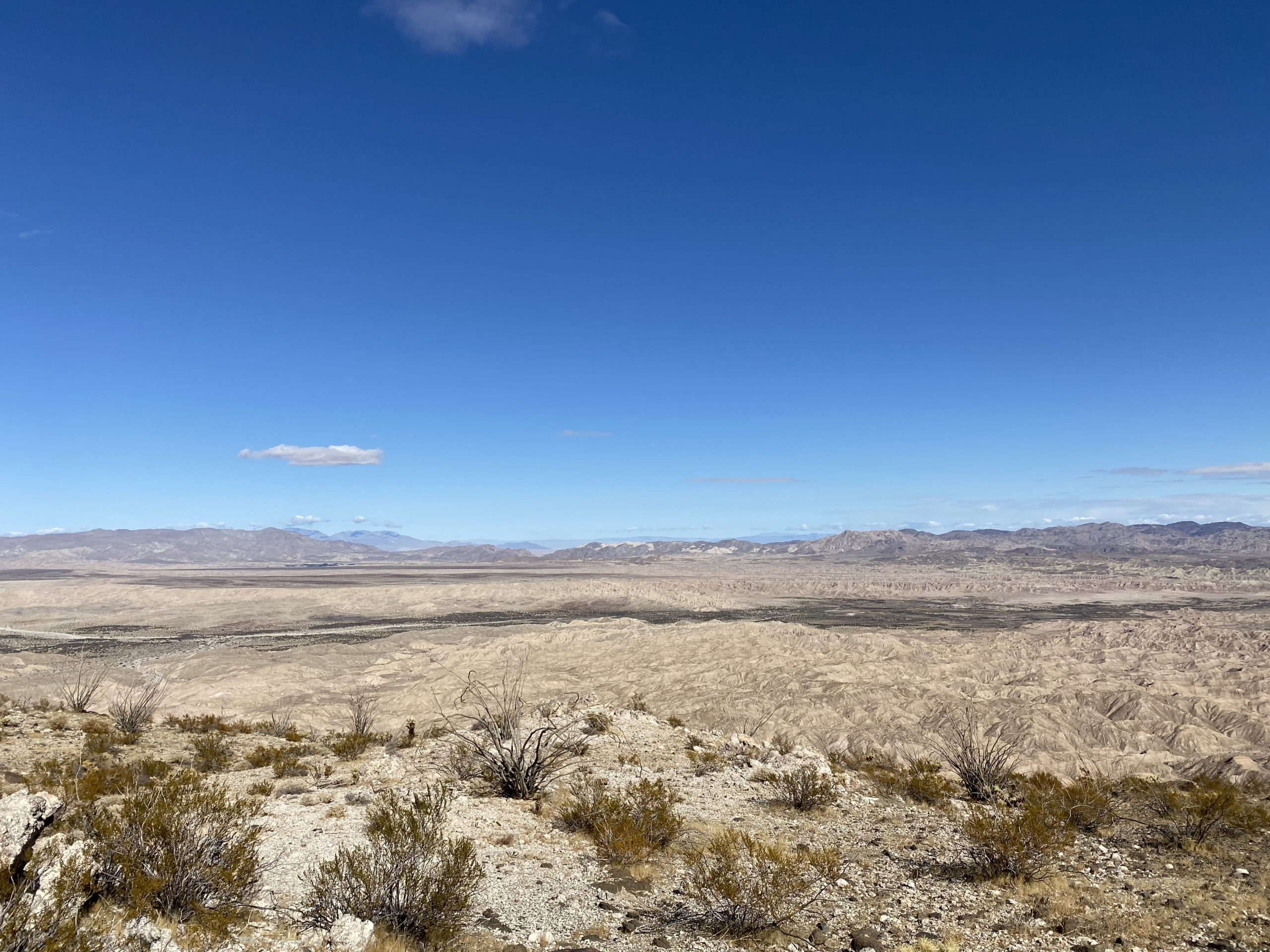
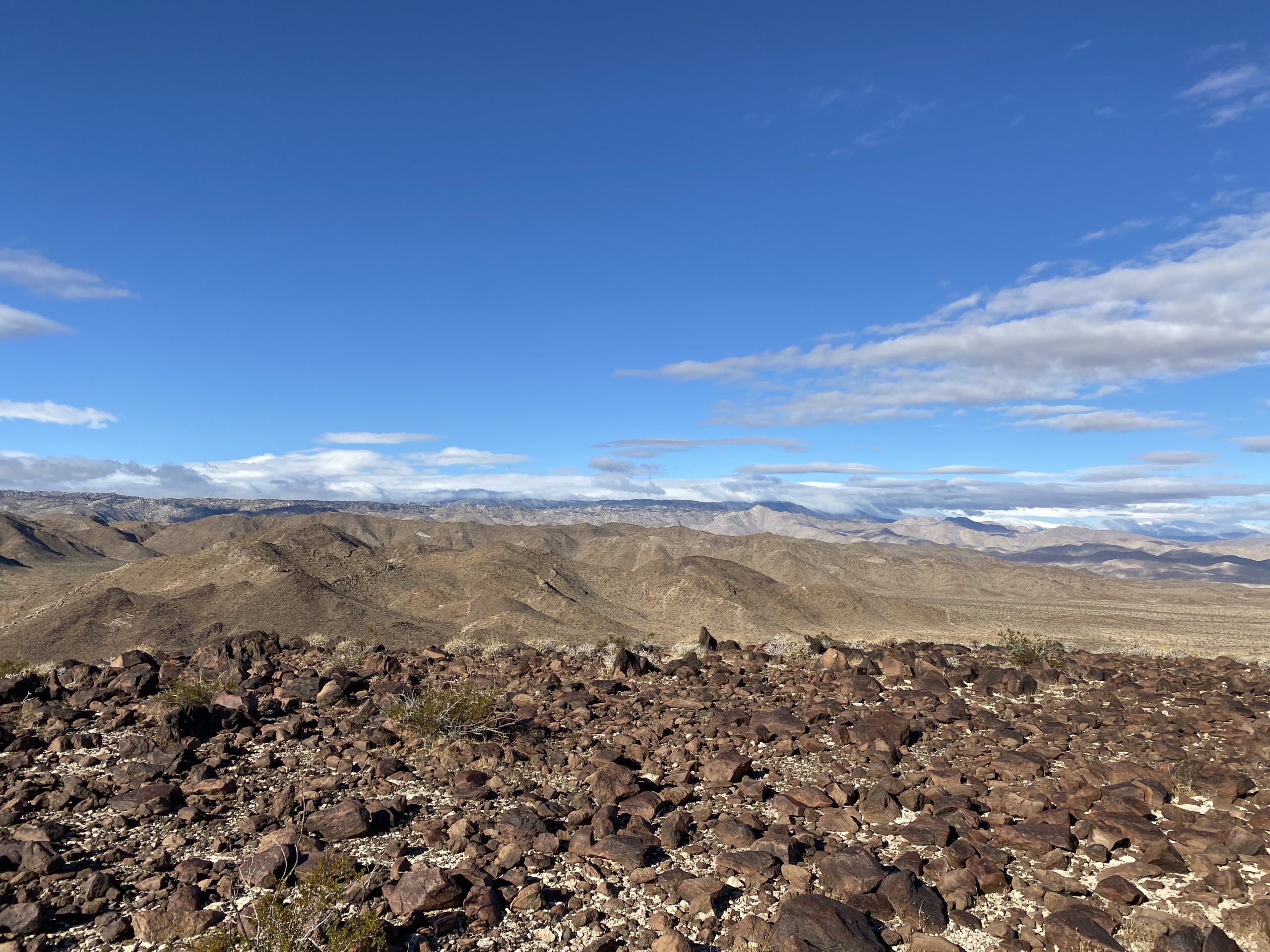
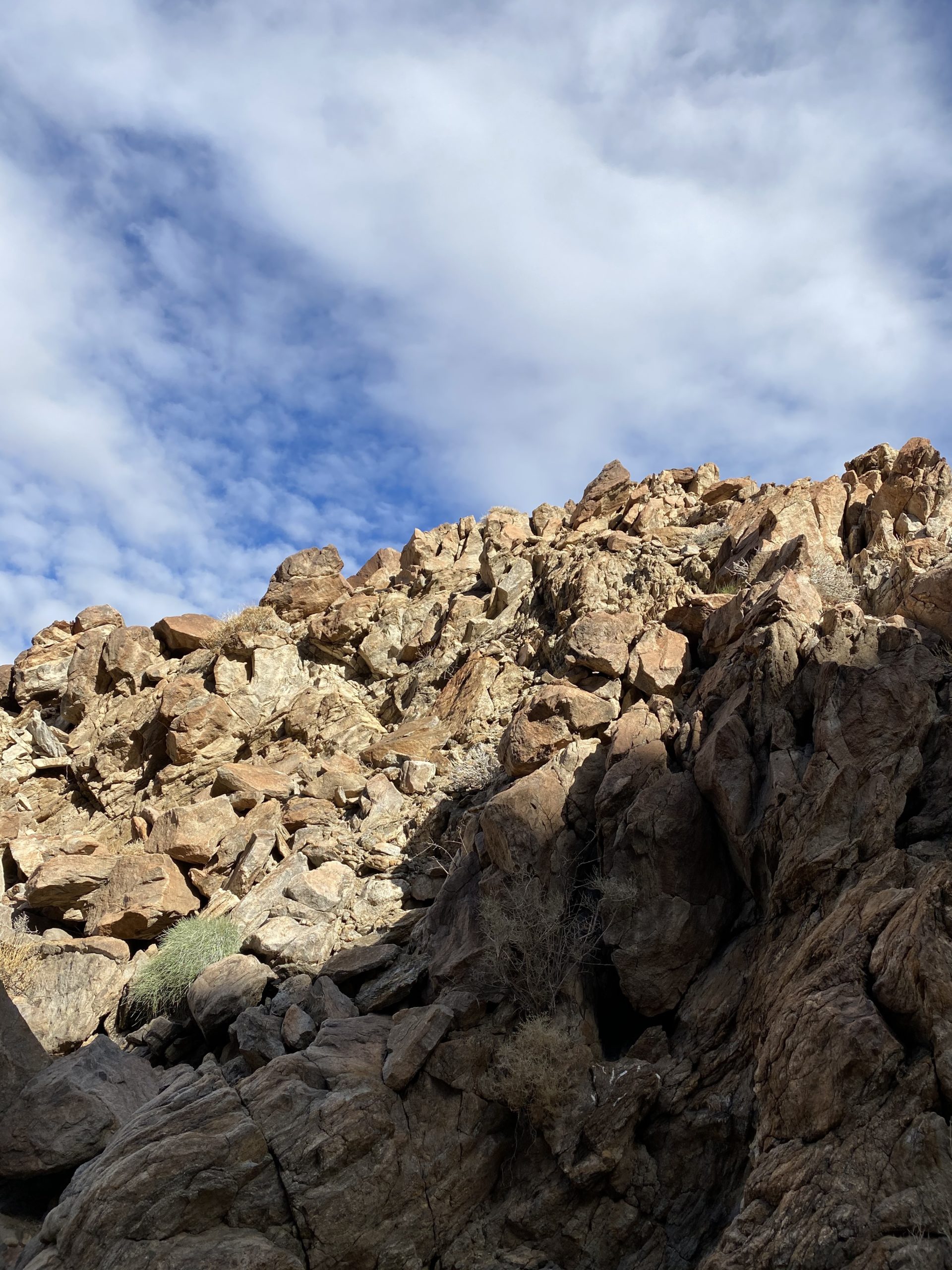
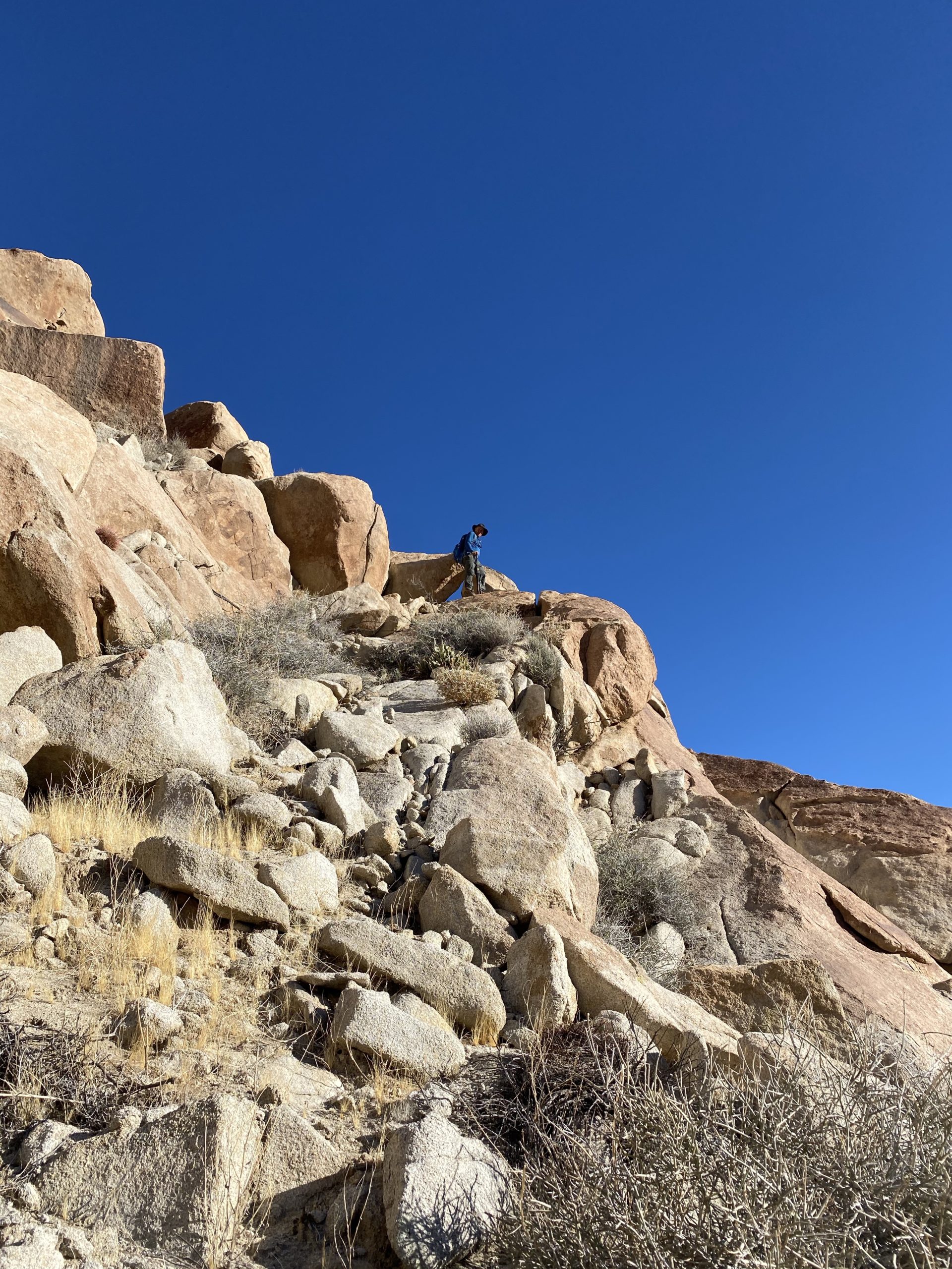
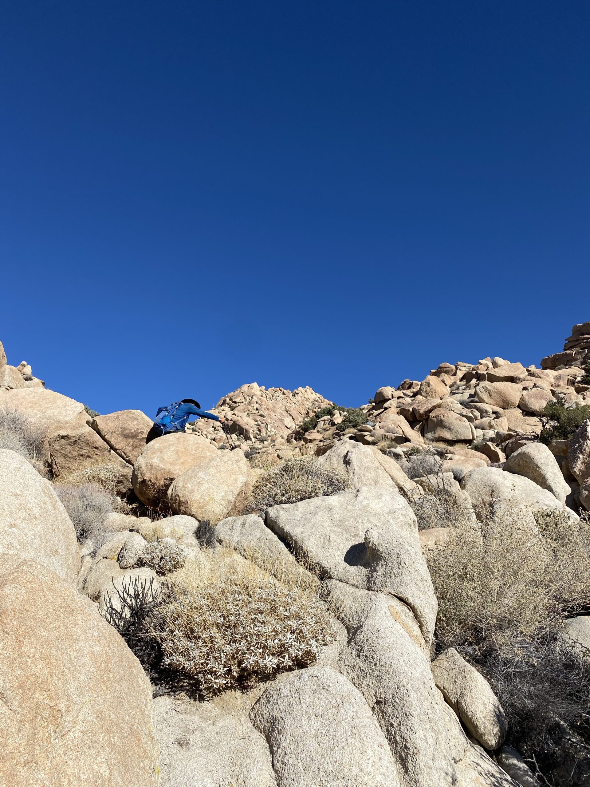
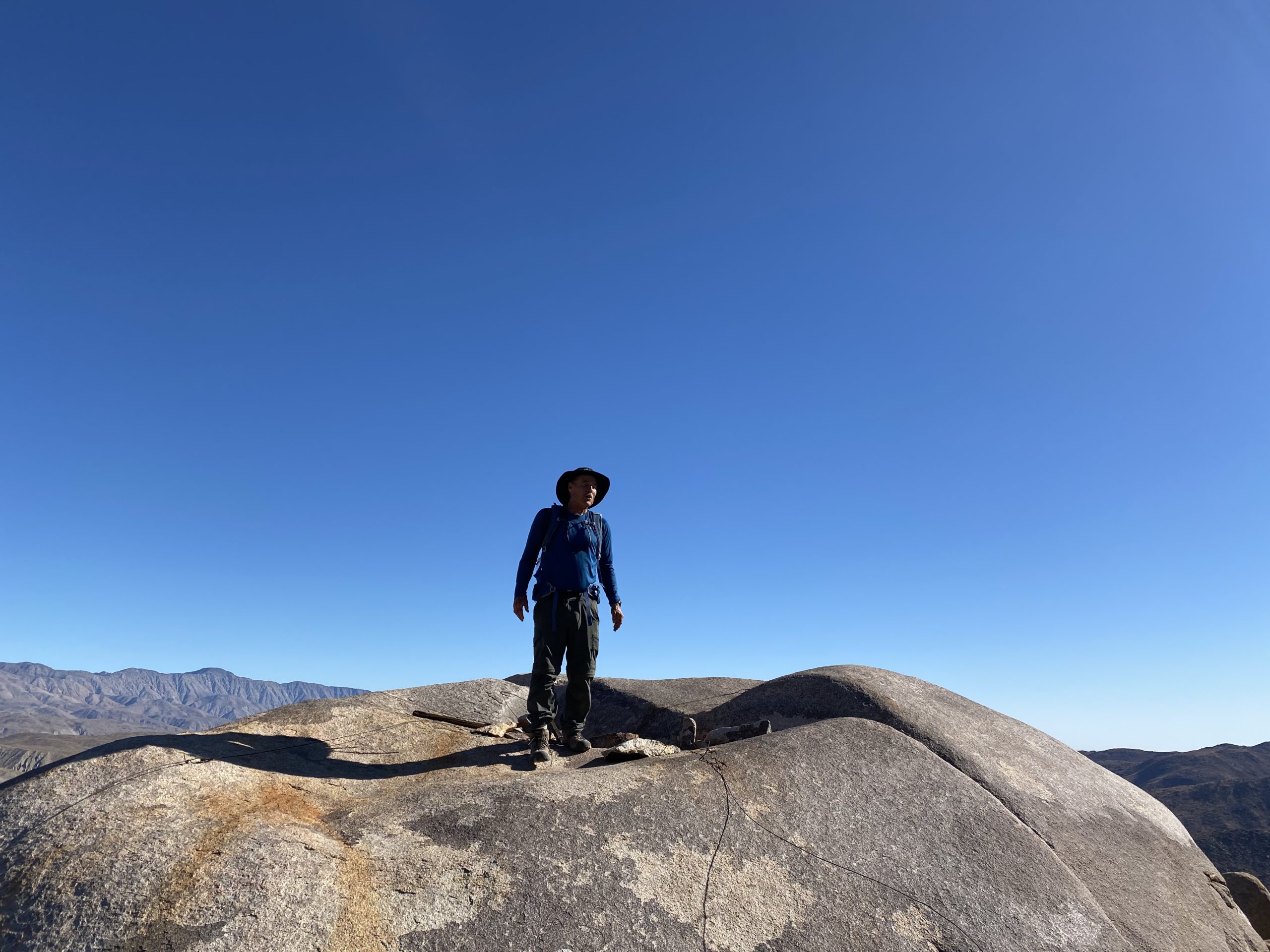
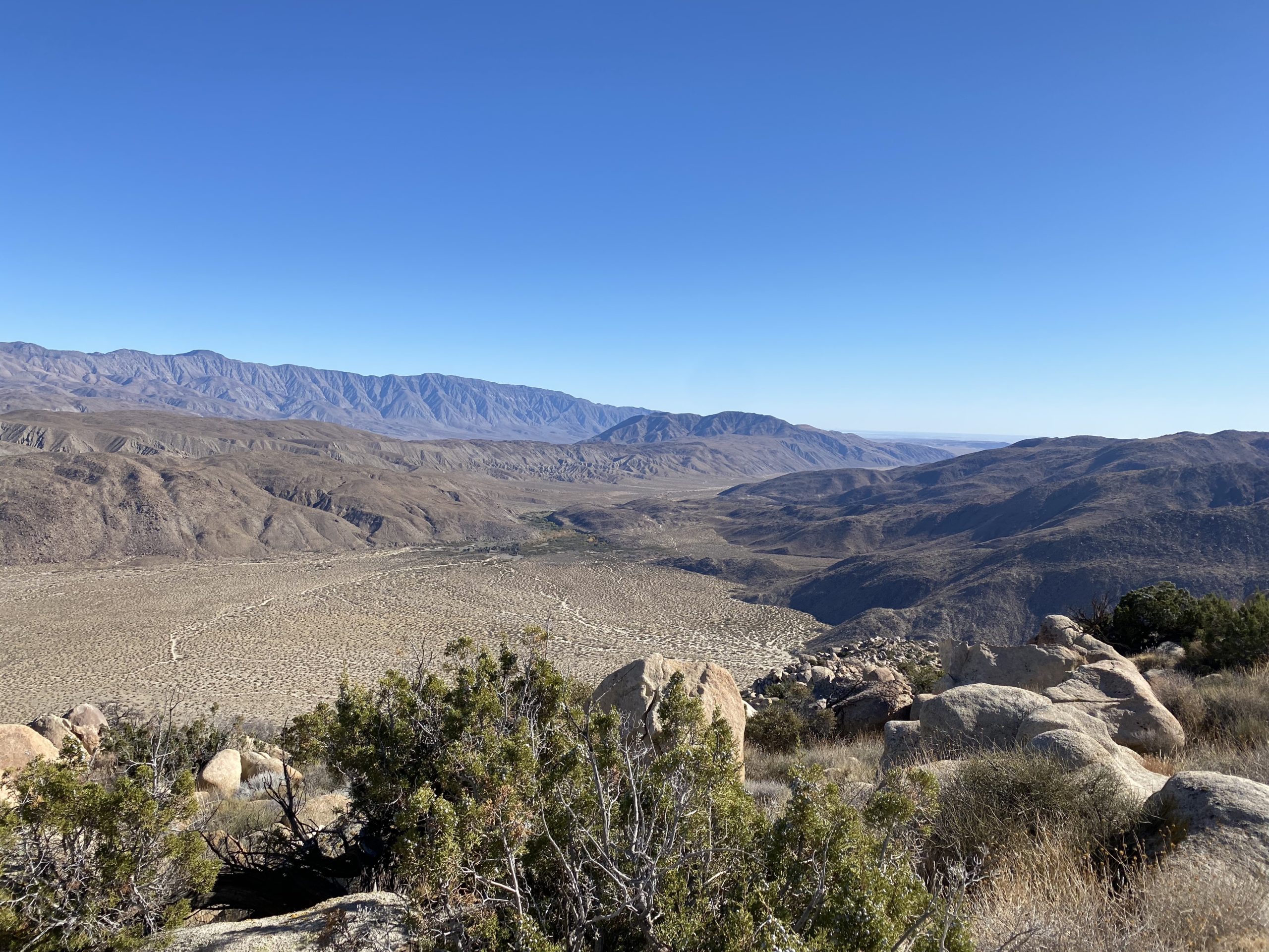
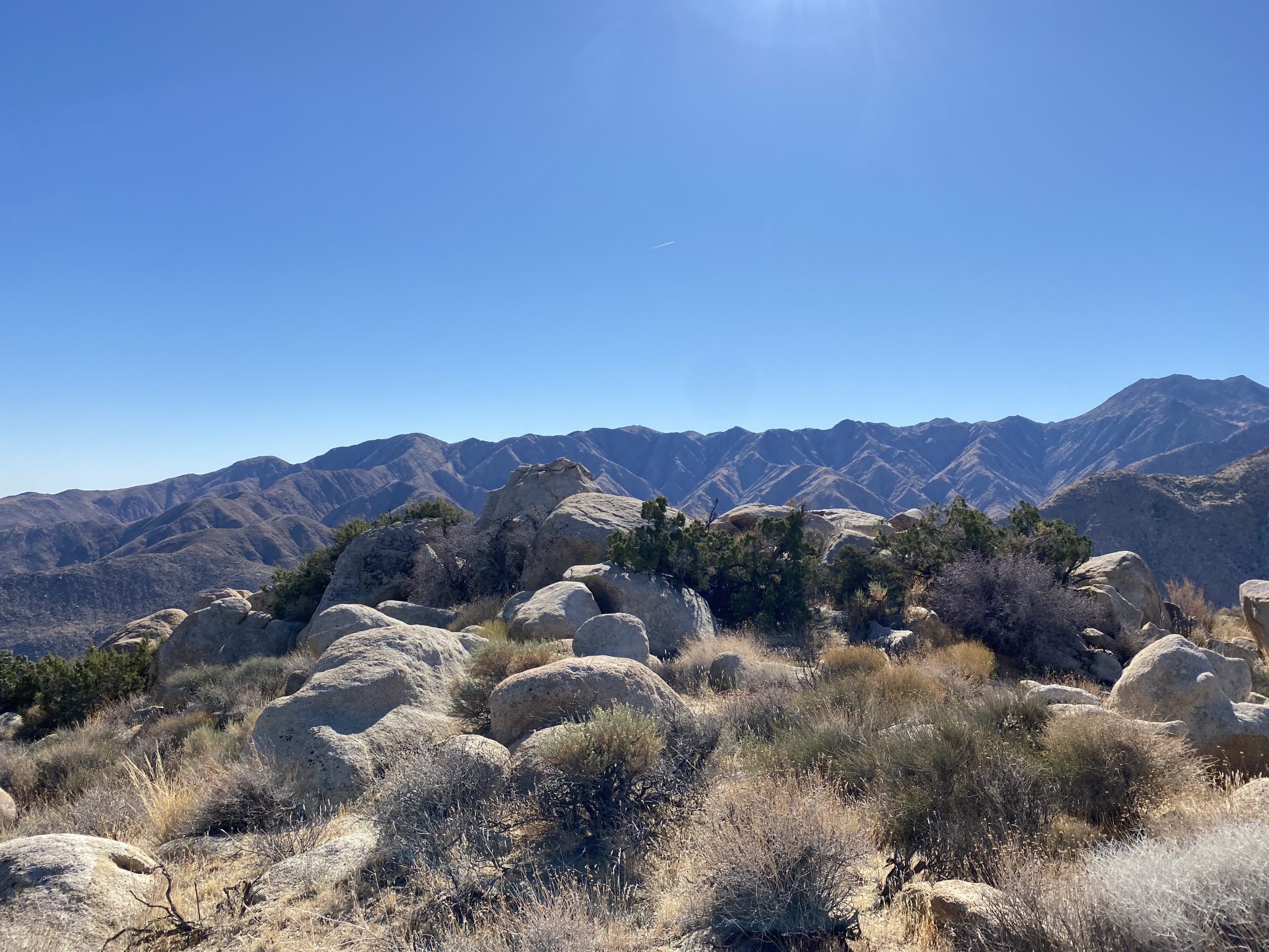
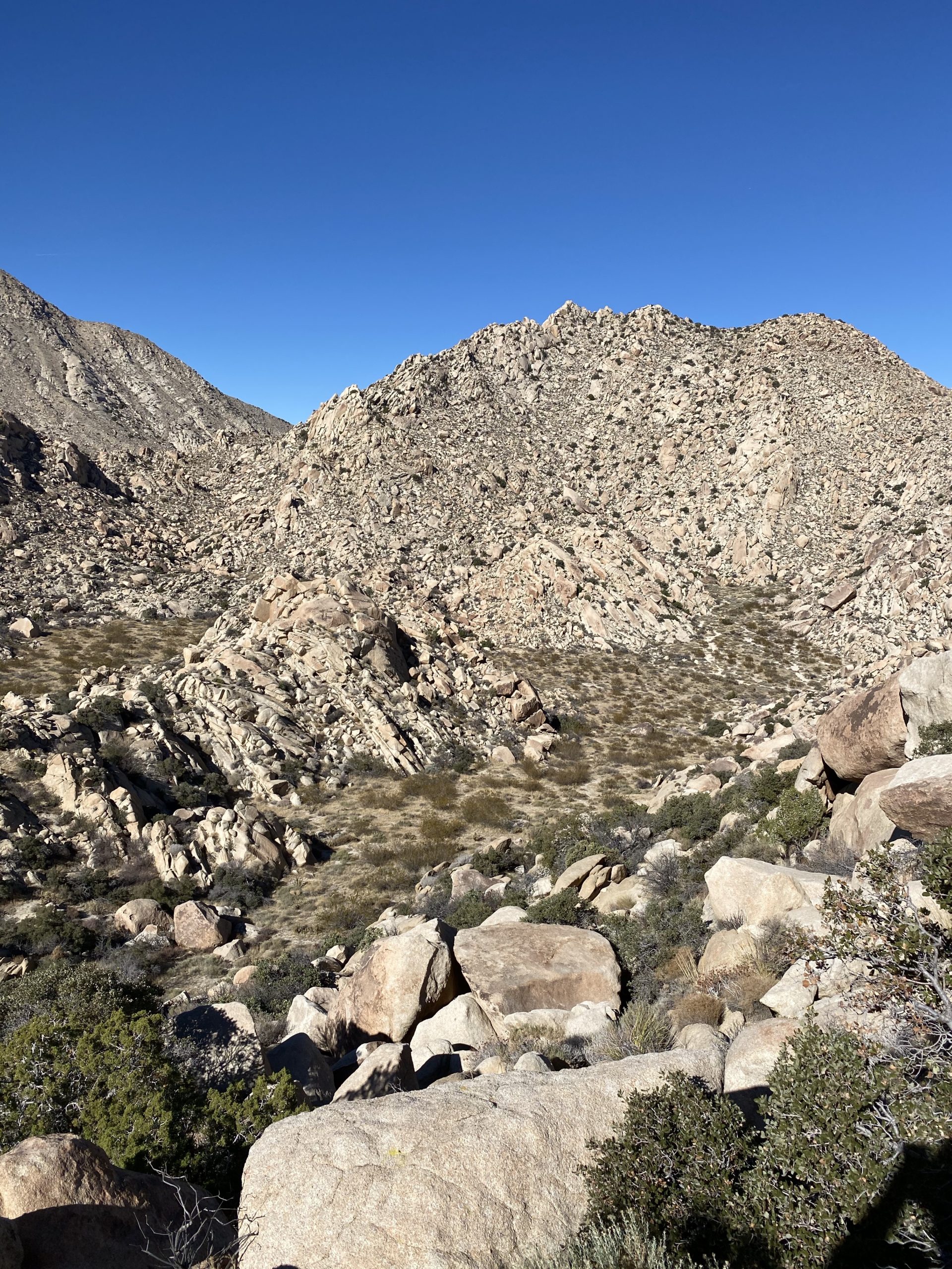
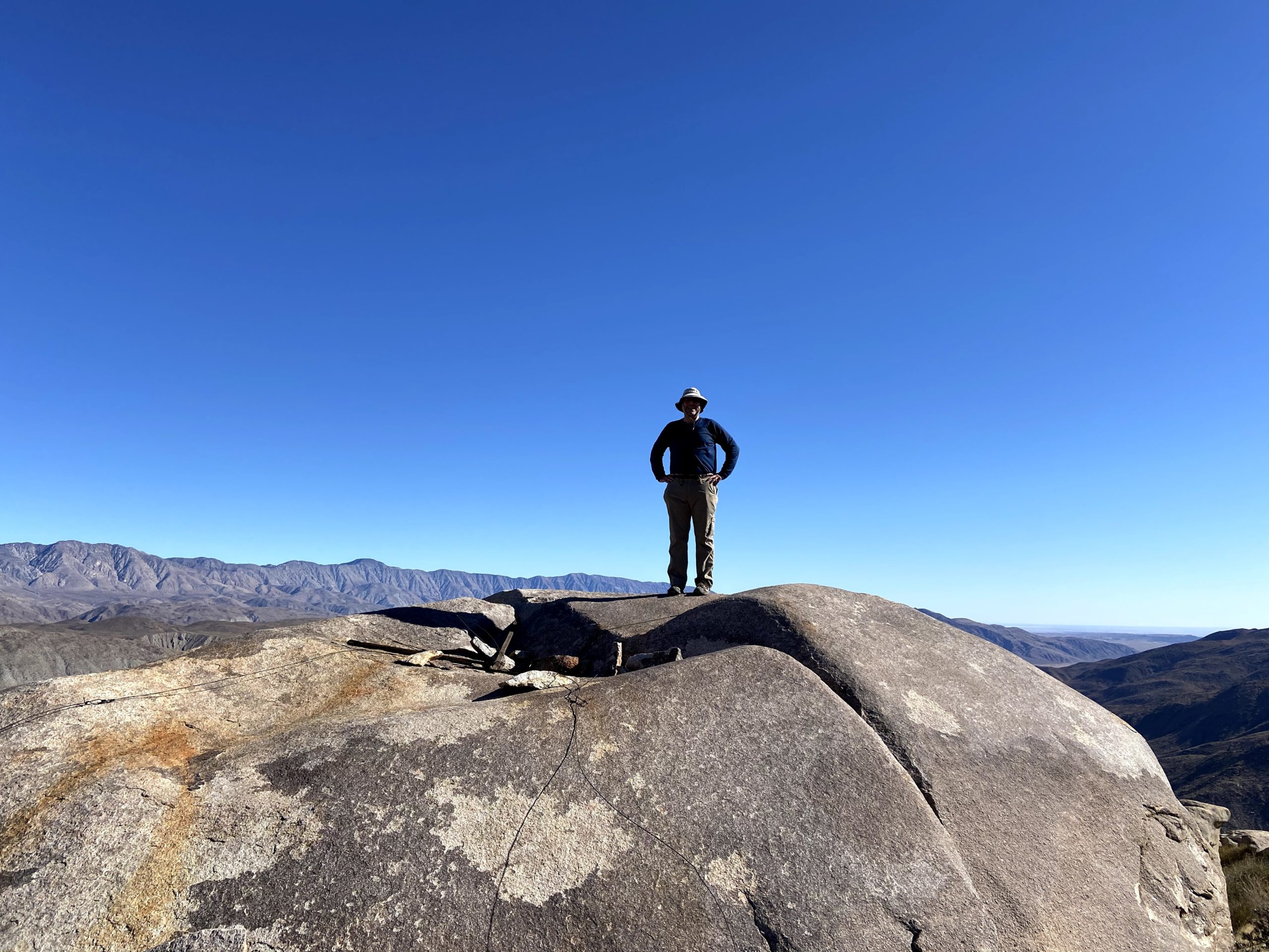
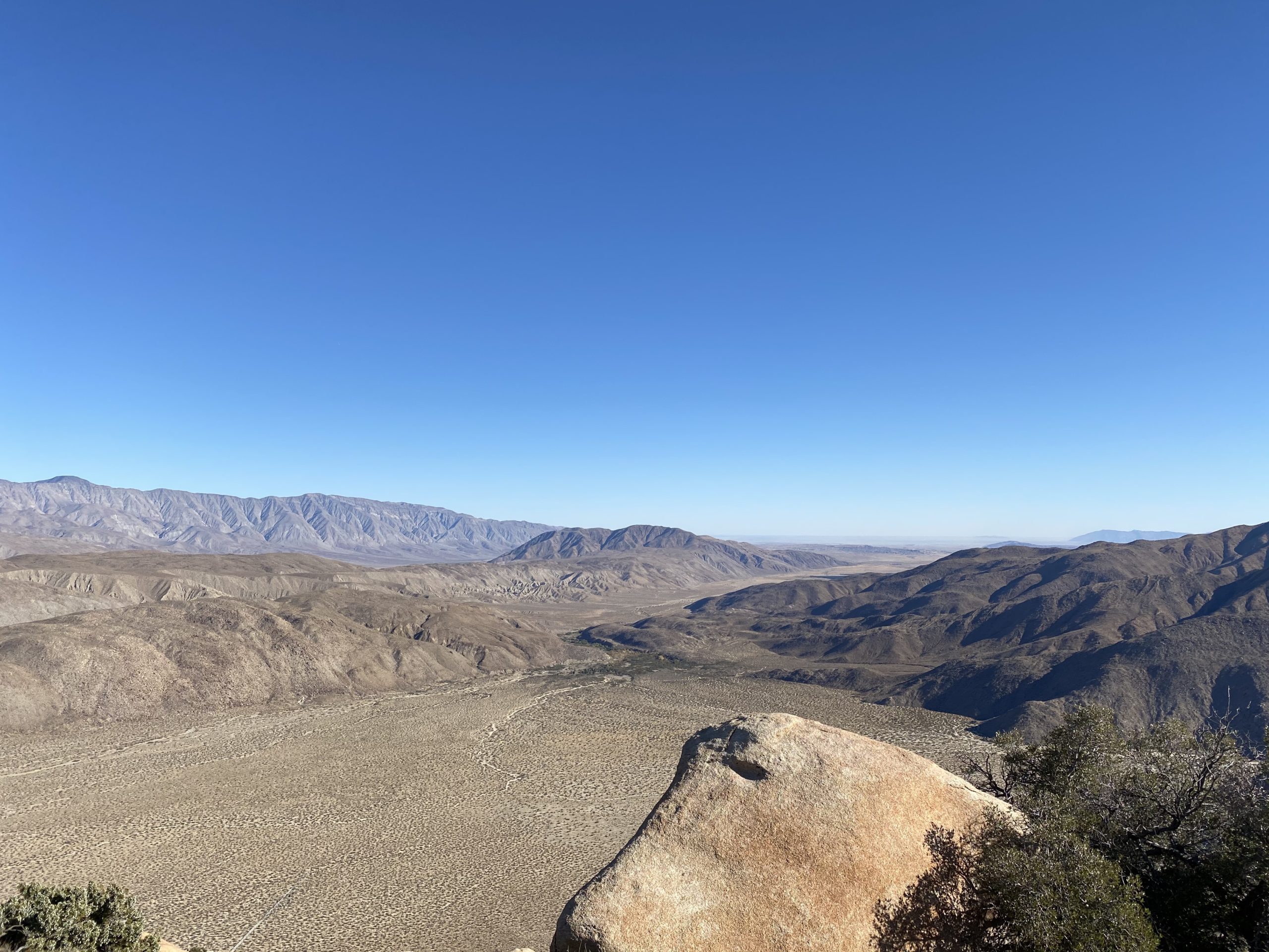
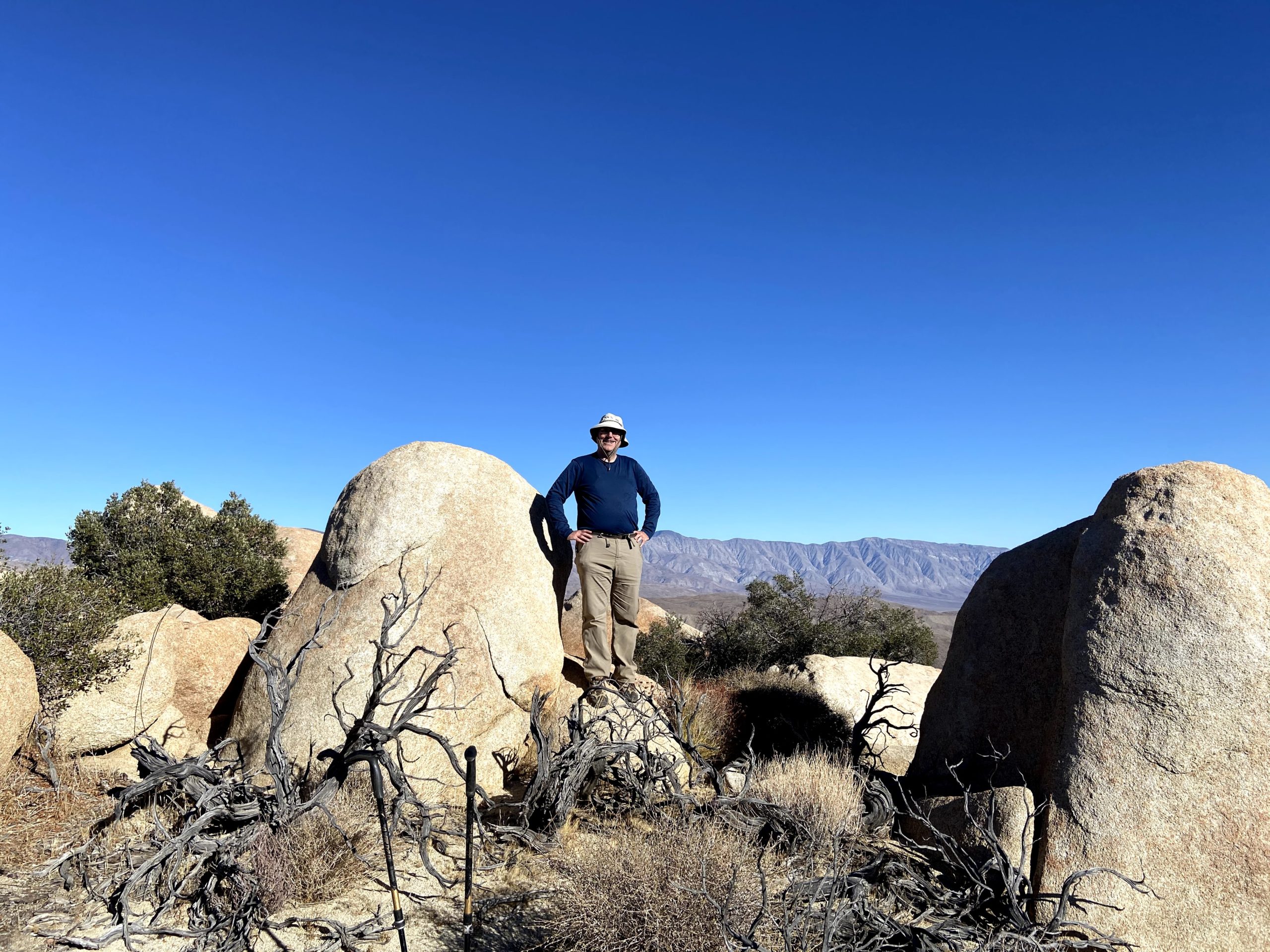
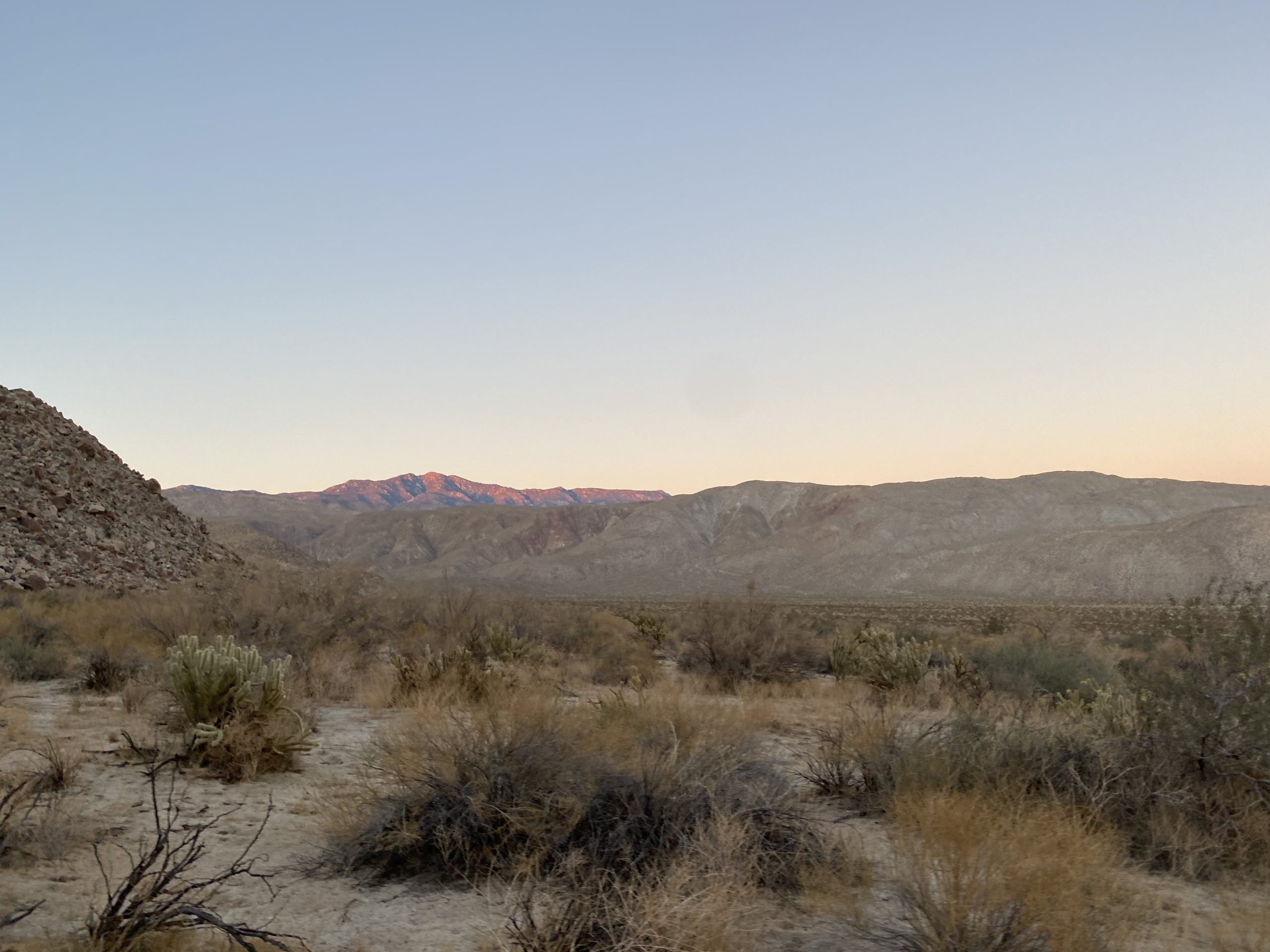
Finally, after about 4 miles, we reached the base of Palm Mesa High Point. Thankfully, the route up to the summit did not have any terrain challenges, other than gaining about 900 feet of elevation in about 0.6 miles. I took the climb at a steady and measured pace, taking a couple of mini-breaks along the way. Soon I had reached the summit! The four of us sat around soaking in the views. Familiar peaks surrounded us. To our north, we could see Collin, Palms, and Elder. To our south was the San Ysidro ridge. Off to the east, Anza-Borrego was spread out before us. We tried not looking to the west and our climb back up. I happily signed the register and took my photos. I enjoyed my PB&J and the Mandarin that Susie gave me. After a nice break, we set off back down. As we almost reached the base of the ridge, Matt B. was making his way up. He filled us in on the status of the rest of the group before heading up toward this summit. The four of us then began our climb back up toward the saddle.
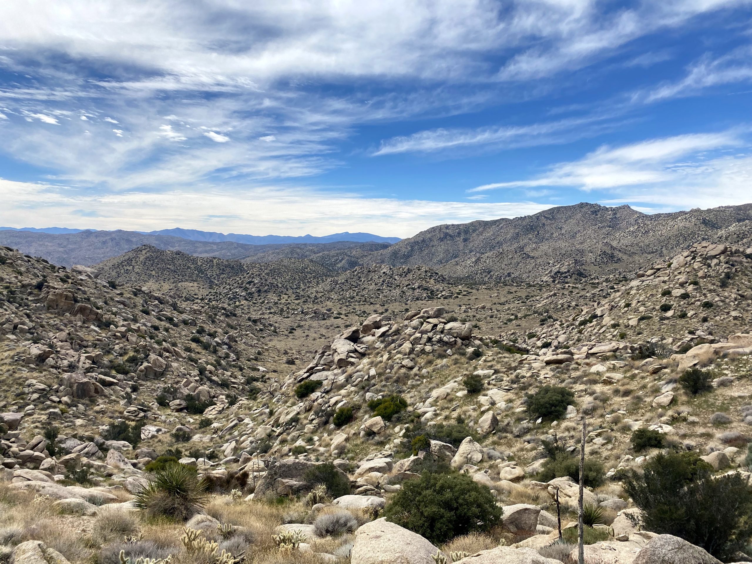
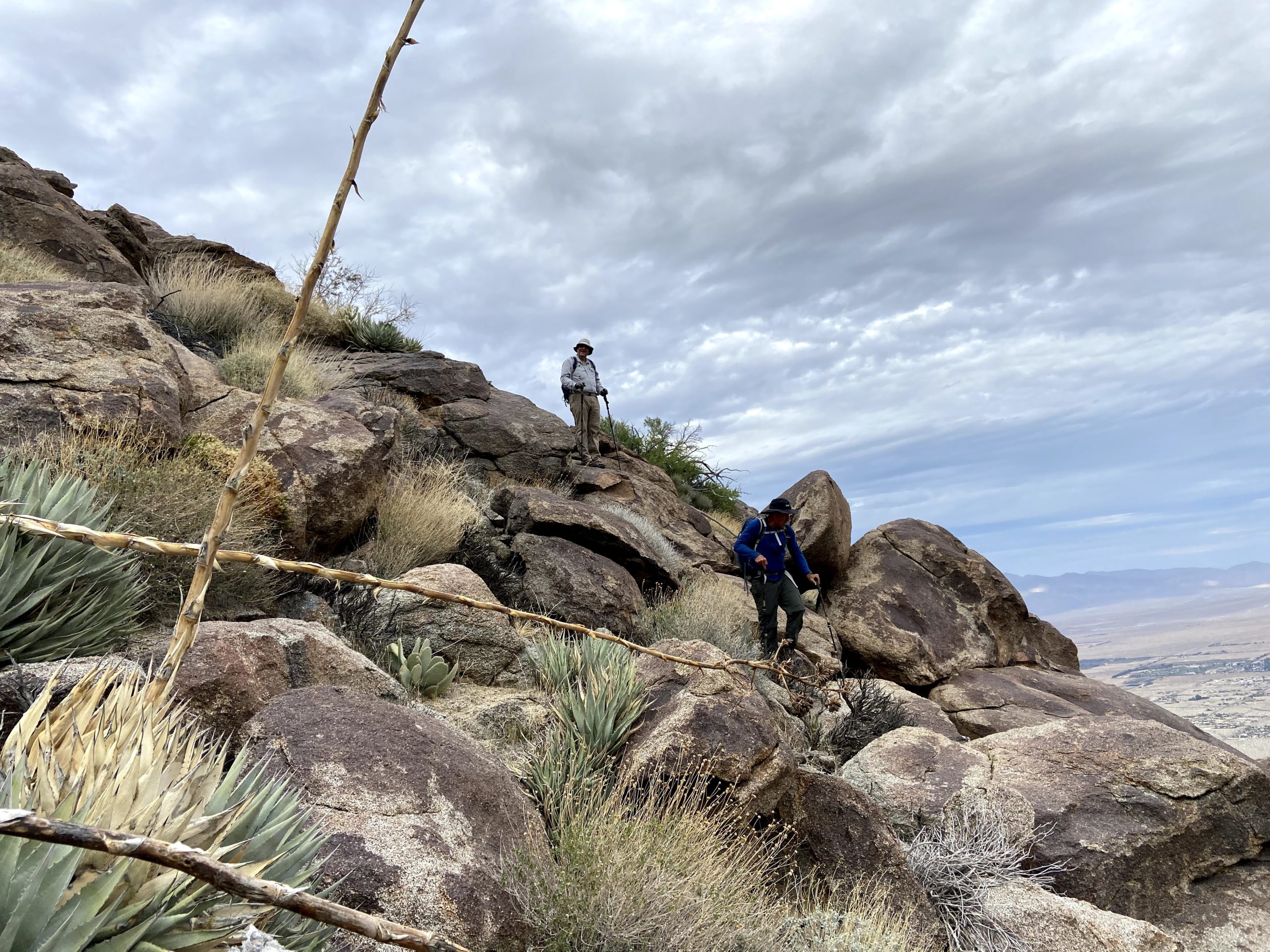
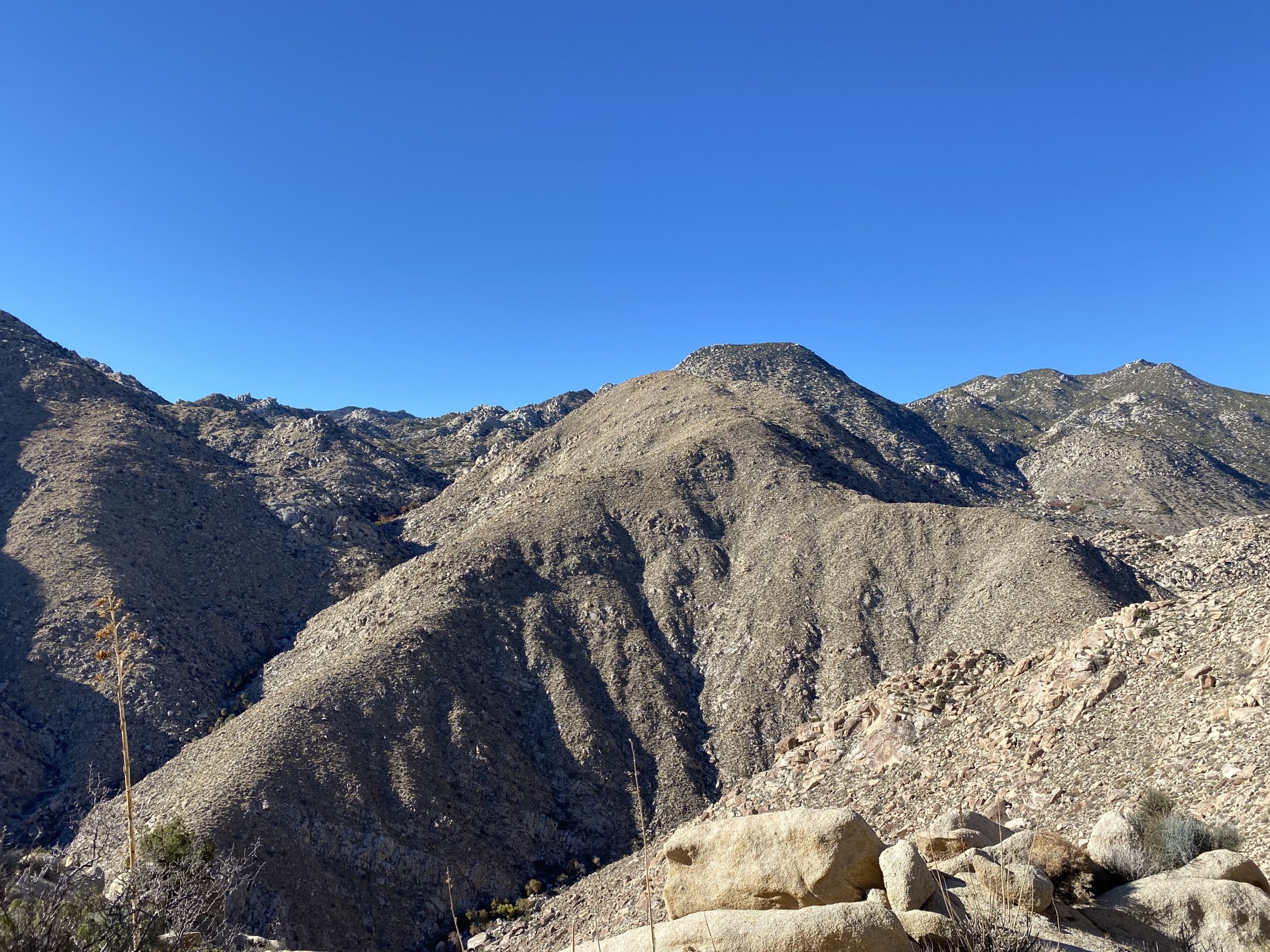
Over the next 2.5 miles, we would gain about 1,400 feet before reaching that small saddle. I continued my steady and measured pace, being careful with my water intake. We would stop for a short break here and there (also for some quick tick checks). Matt B. did catch us, as expected and we continued on up to the saddle where Matt H. and Alberto should be waiting.
As the saddle came into view, we could spot Matt H. in his traditional Celtic Football jersey, waving down to us. Once we reached the saddle, we took a short break while we waited for Alberto to return from his quick jaunt up Phil Benchmark. Upon his return, we cruised the 1.75 miles back to our cars and then drove back to the campground. With that, my 99th peak was in the books. All told, this hike covered 9.7 miles in 7:53 with 2,974 feet of total gain. Next up, Roost Benchmark!
I am an avid peak bagger, sometimes backpacker, and former sea kayaker living in San Diego. In 2019, I became the third person to complete the San Diego 100 Peak Challenge. Not stopping with that accomplishment, I set my sights on the harder San Diego Sierra Club 100 Peak list, which I completed in 2021. In addition, I have conquered several Six-Pack of Peaks challenges (SoCal, San Diego, Central Coast, and Arizona-Winter). Beyond attempting the San Diego Sierra Club 100 Peak list a second time, I am looking forward to exploring new summits and new adventures across the southwest.
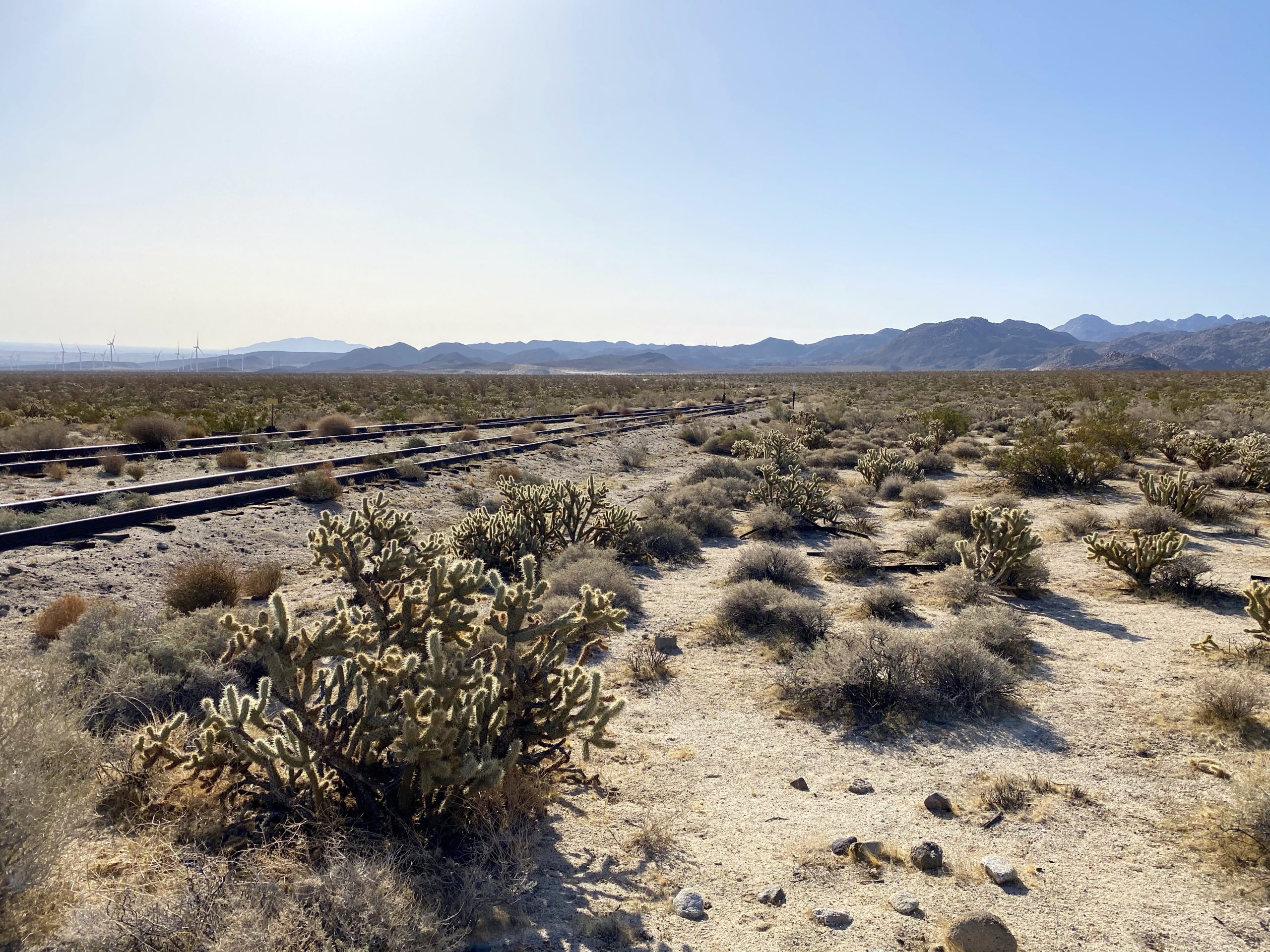
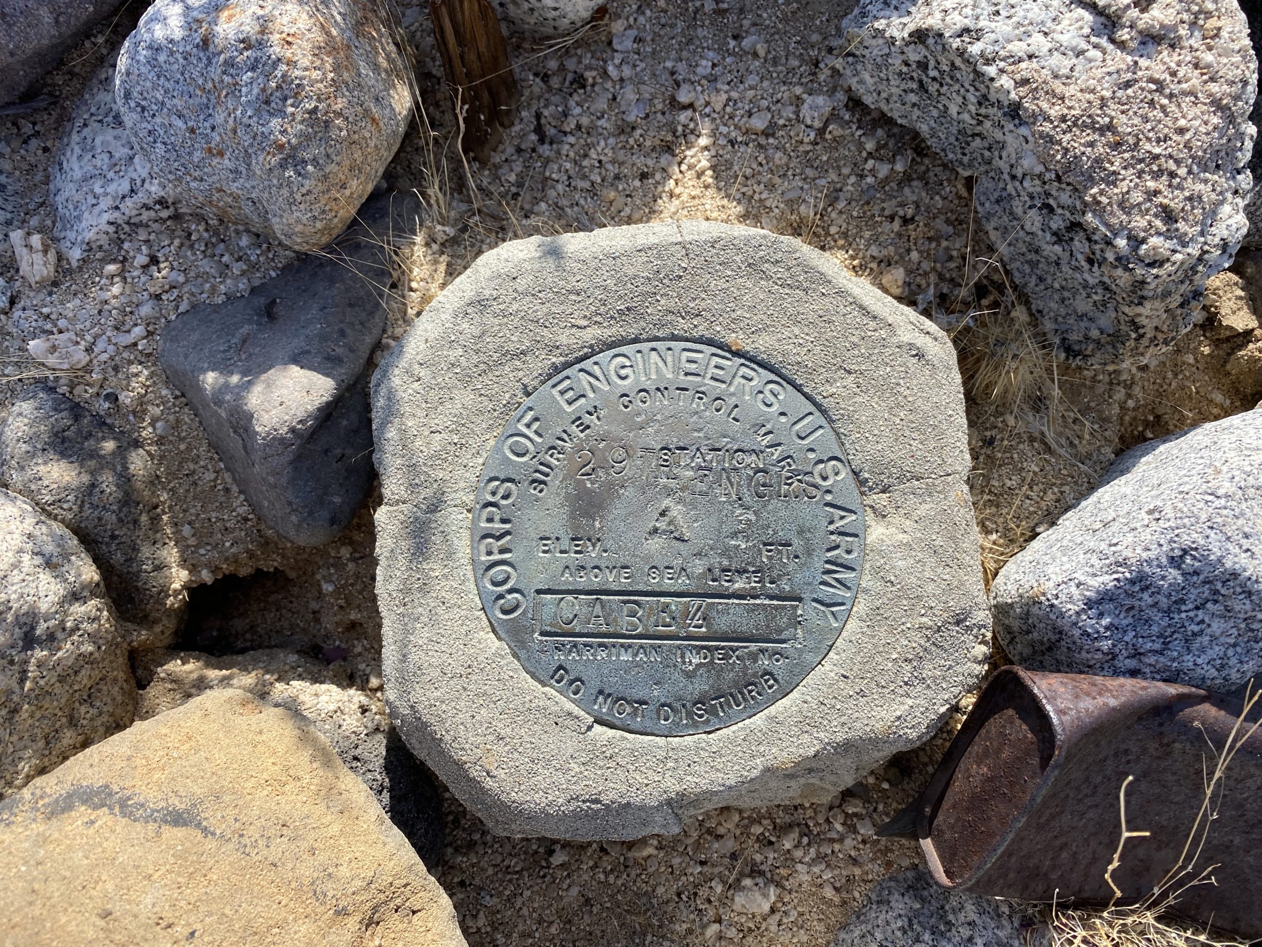
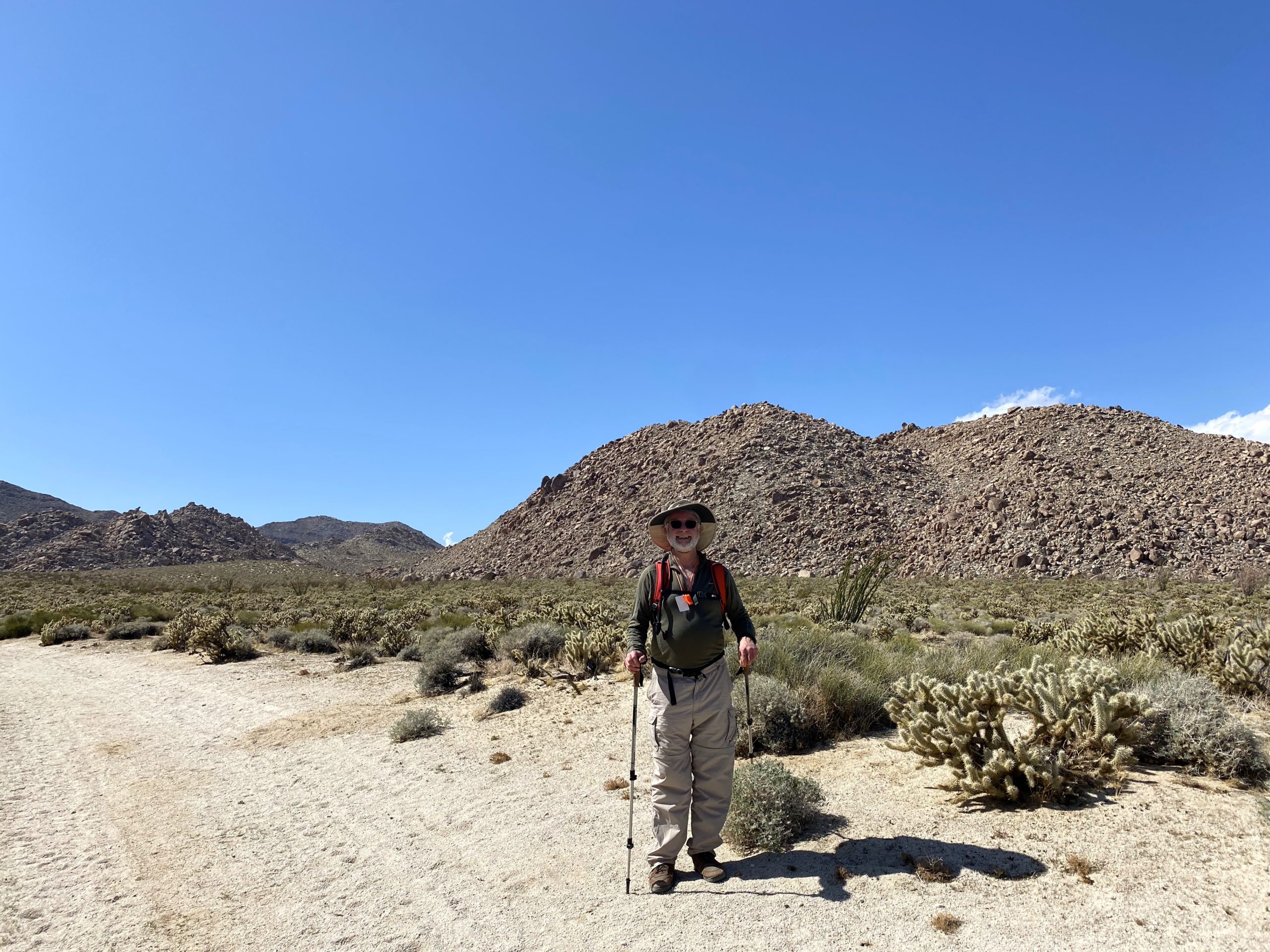
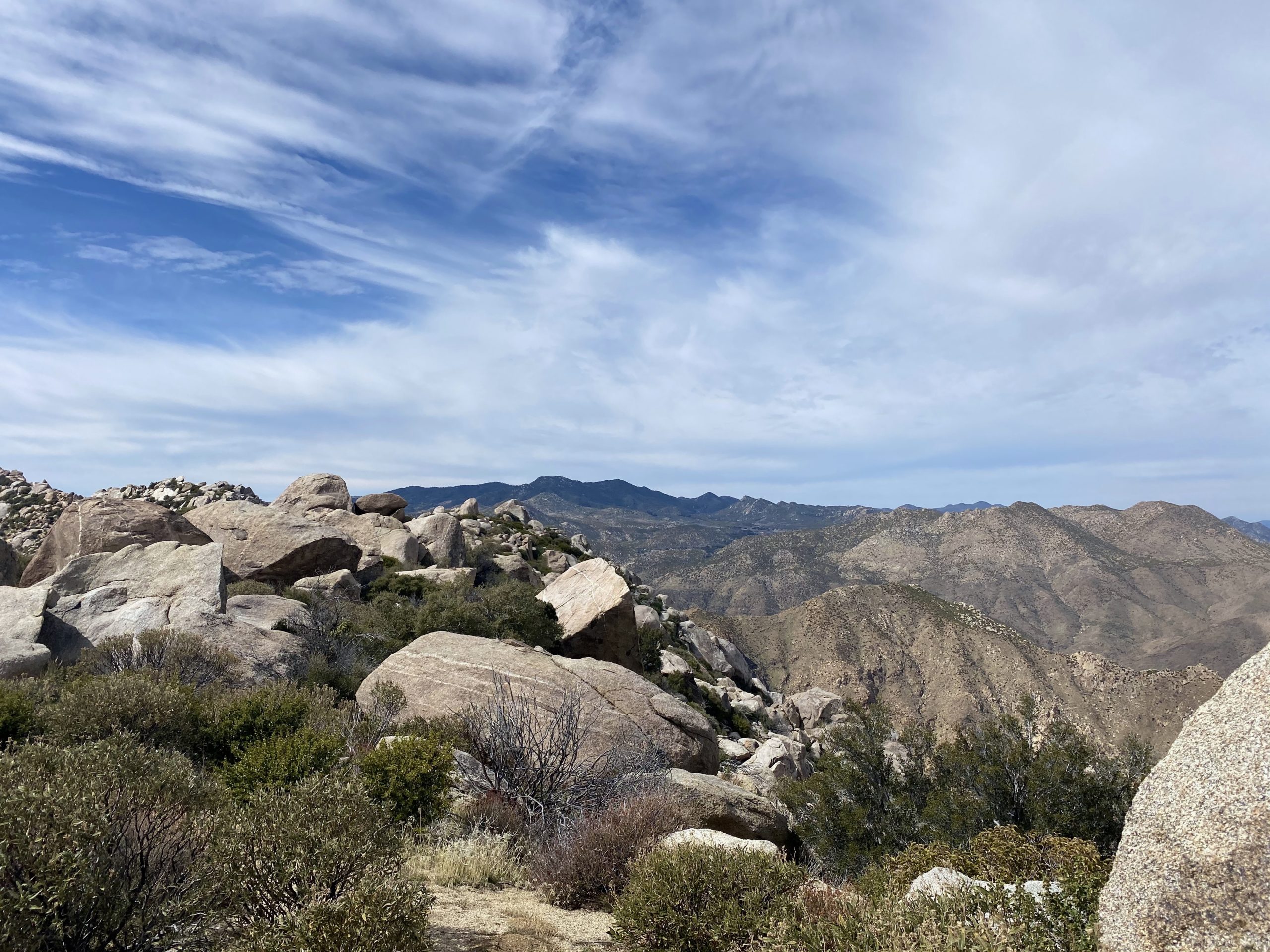
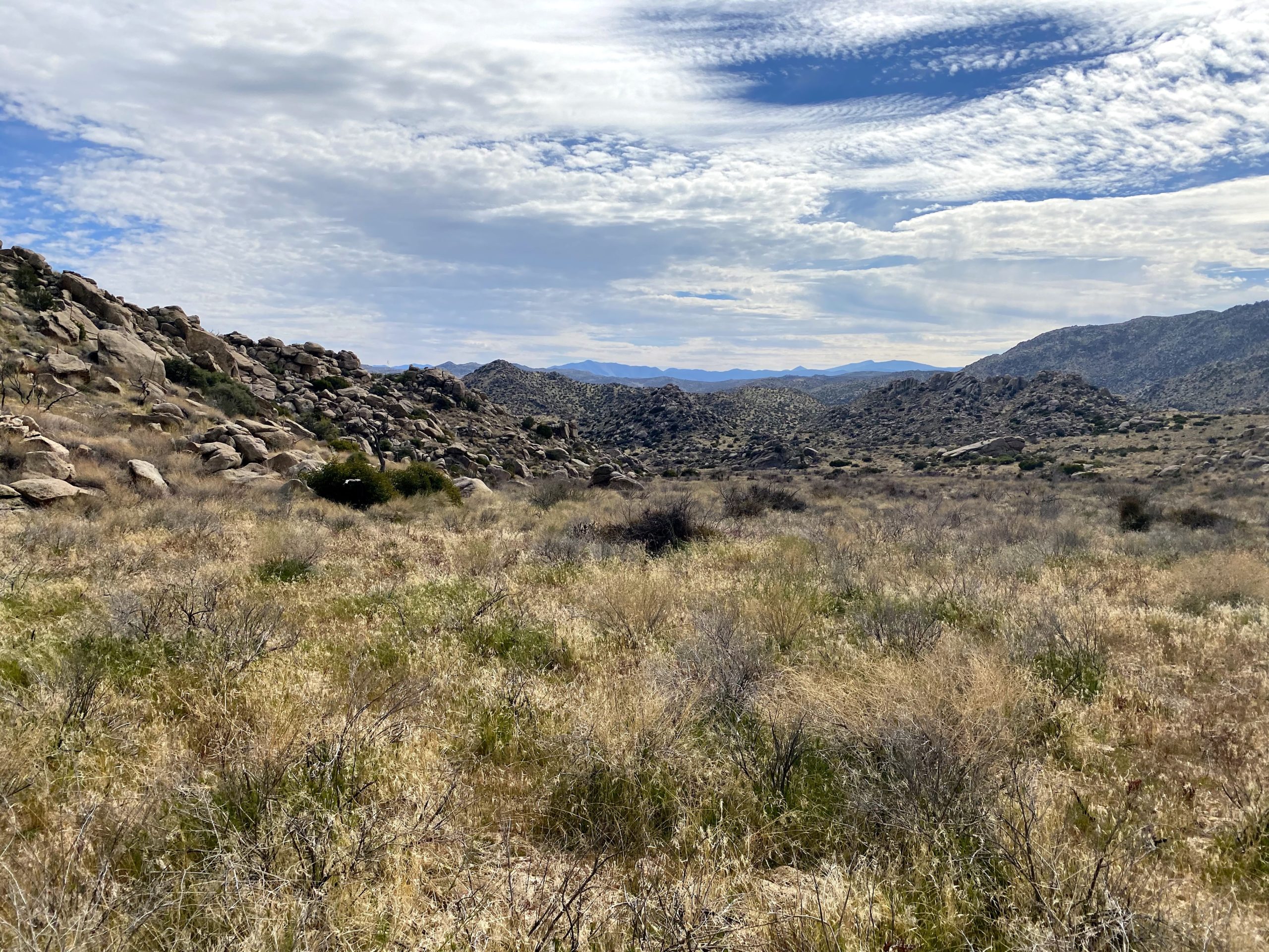
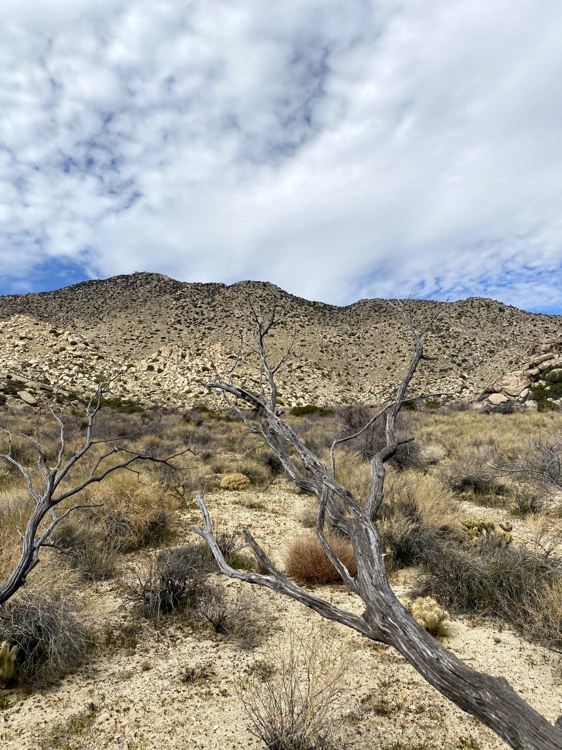
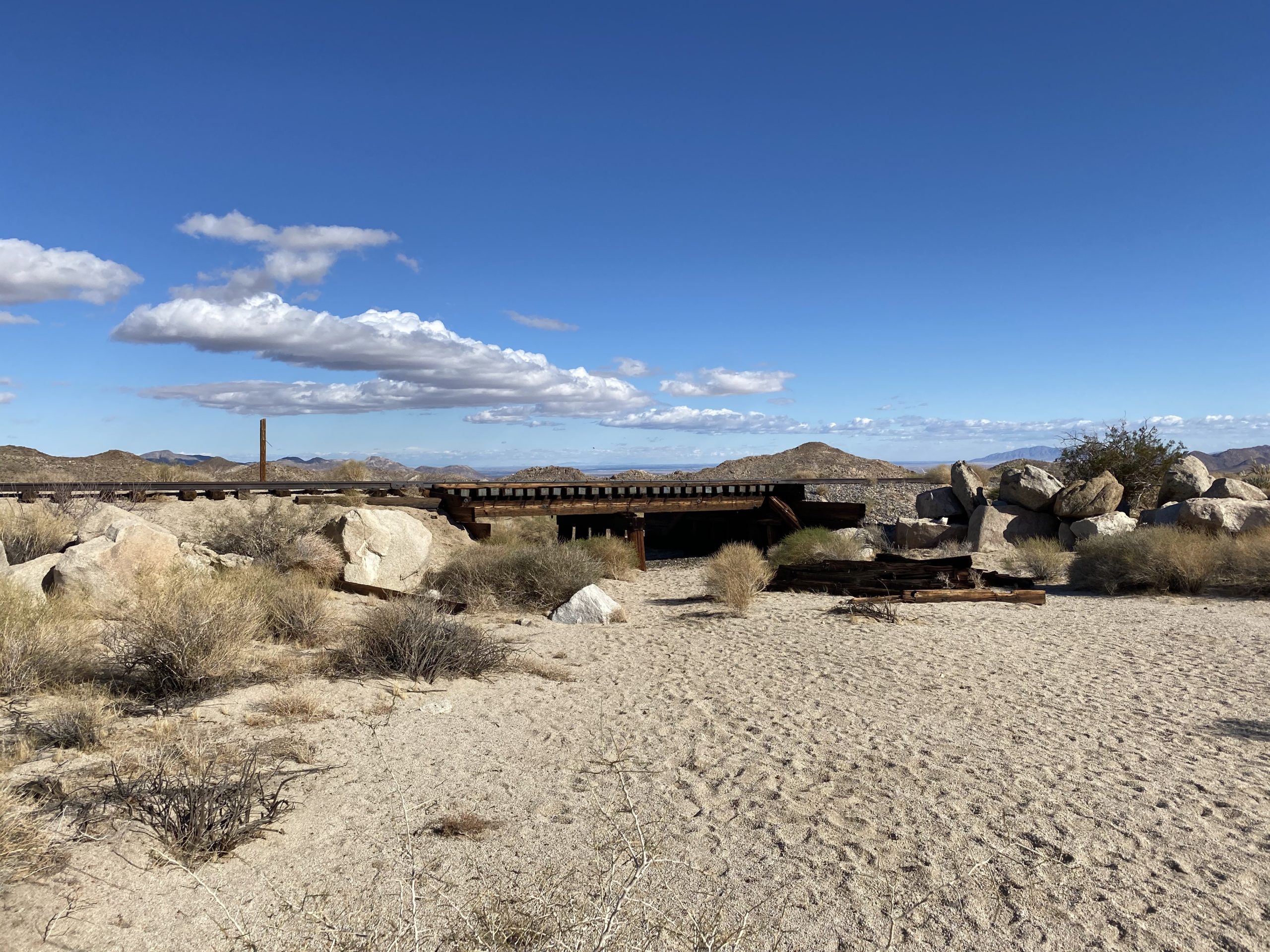
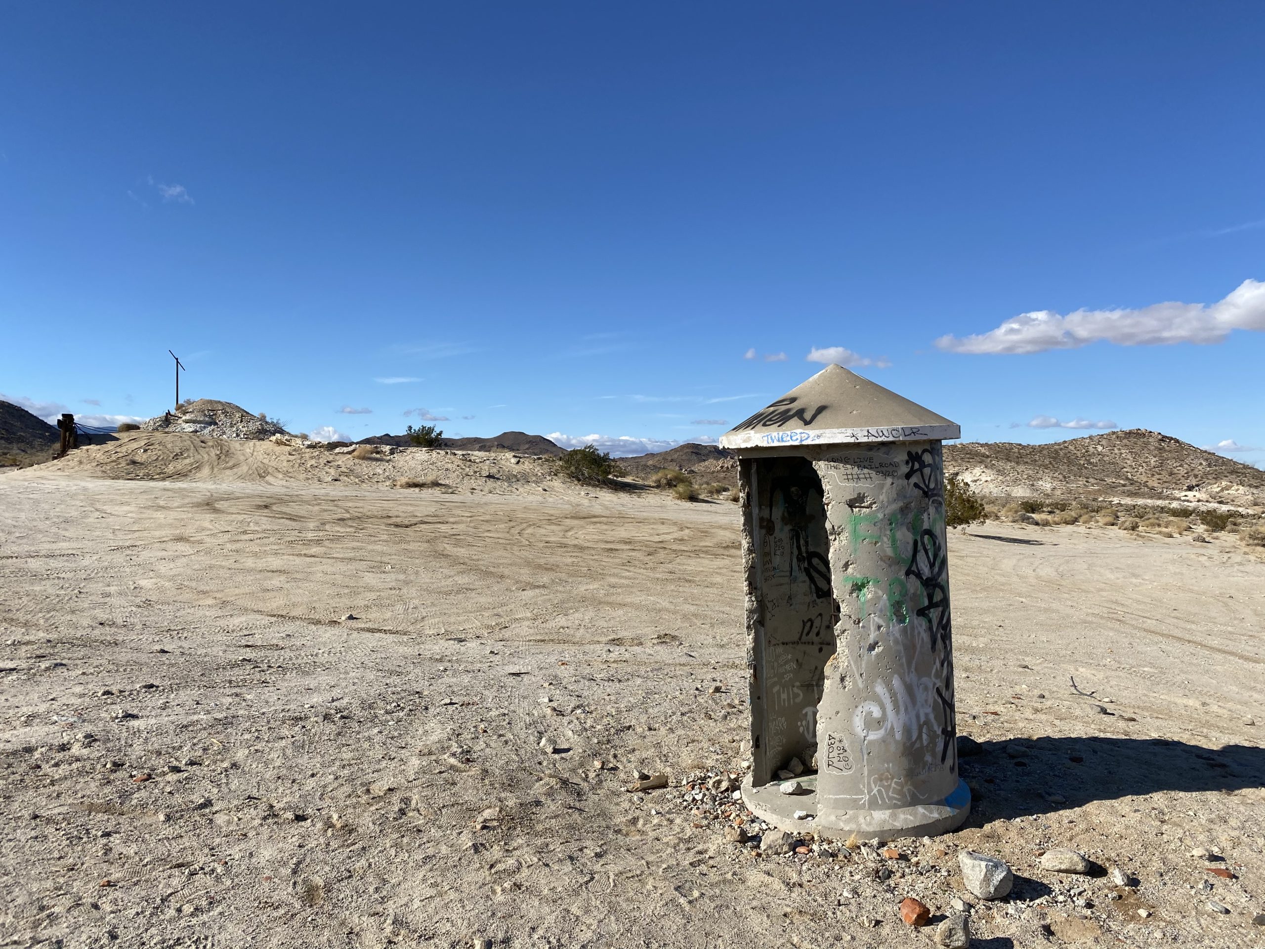
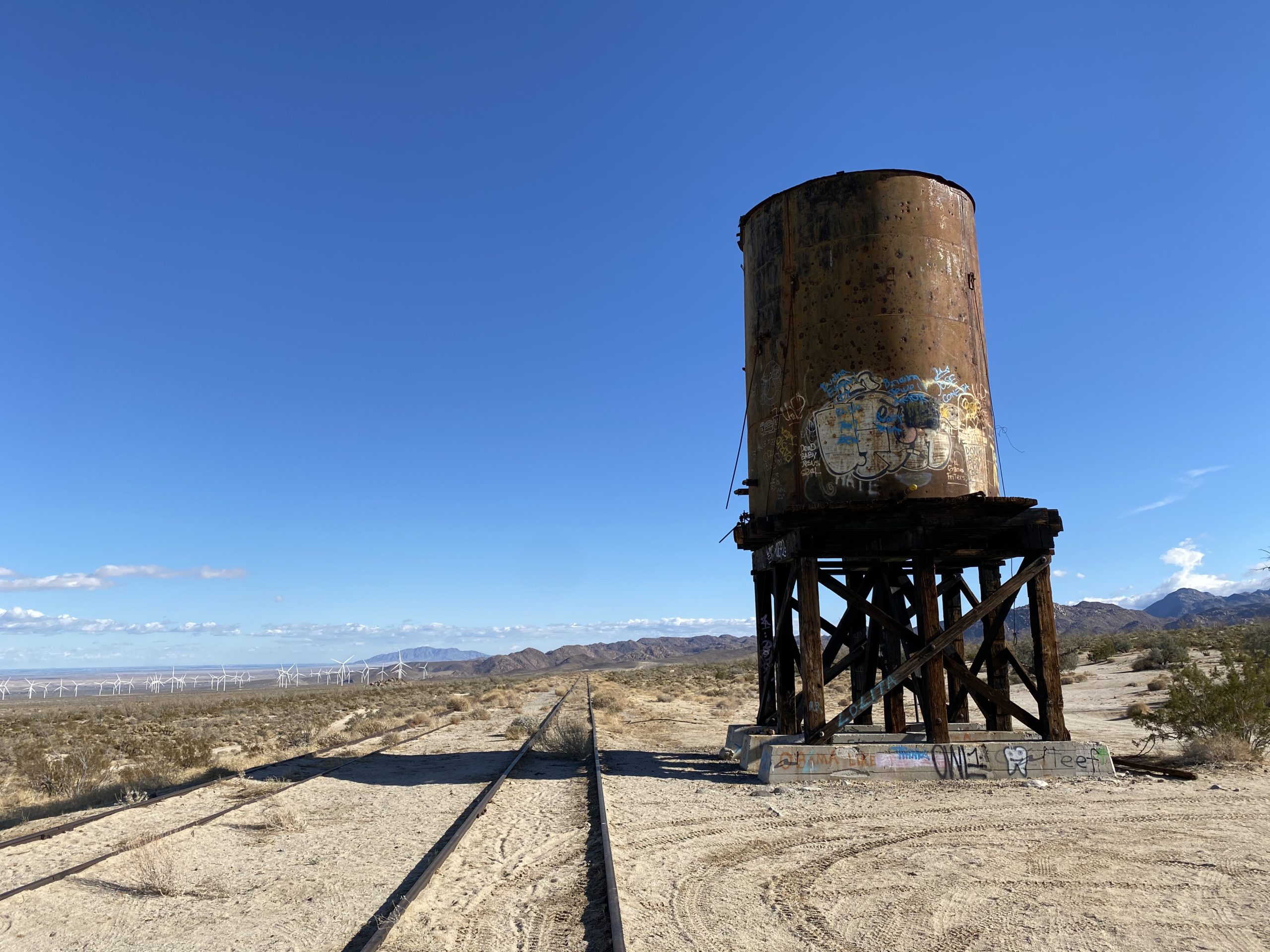
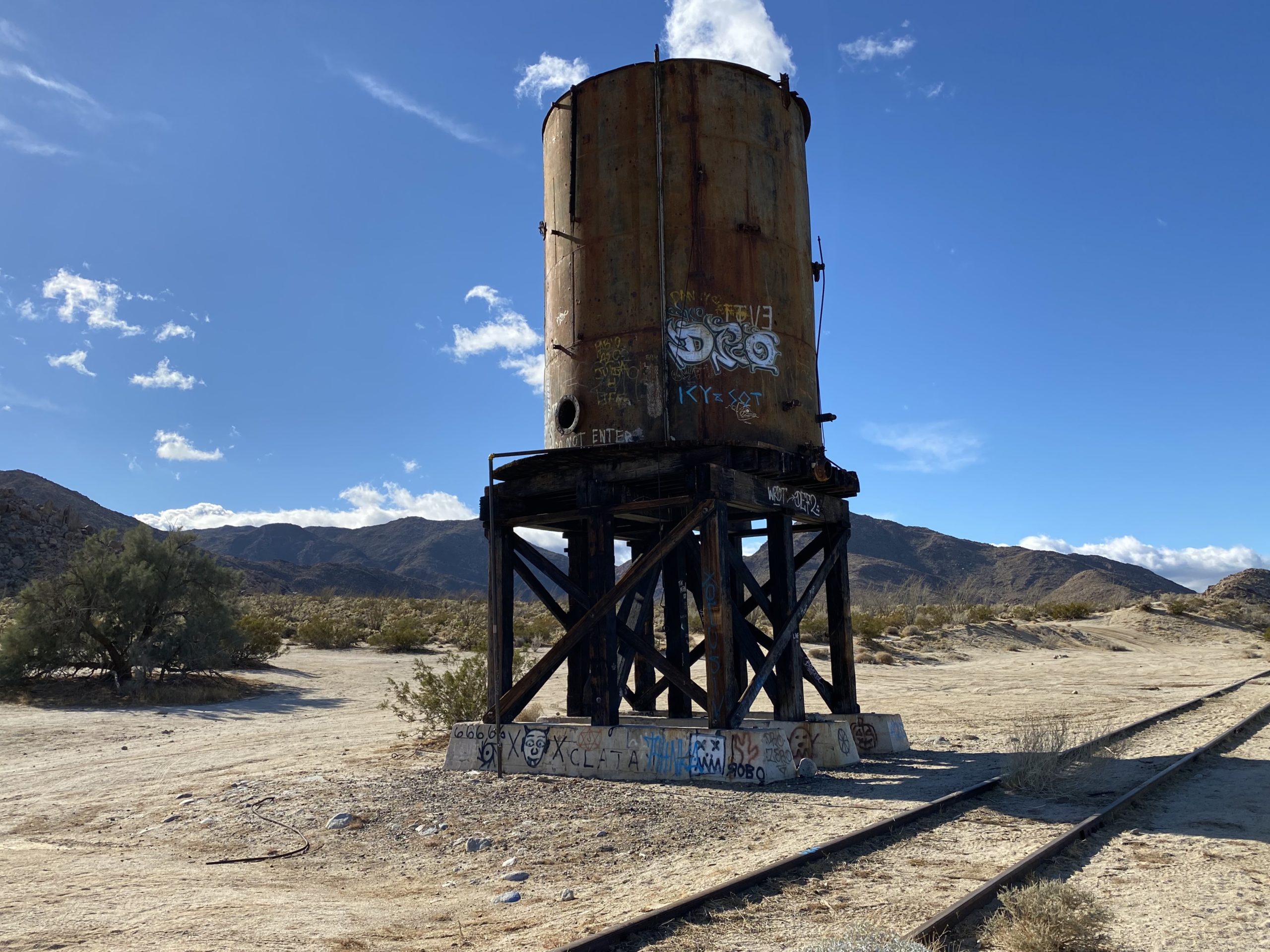
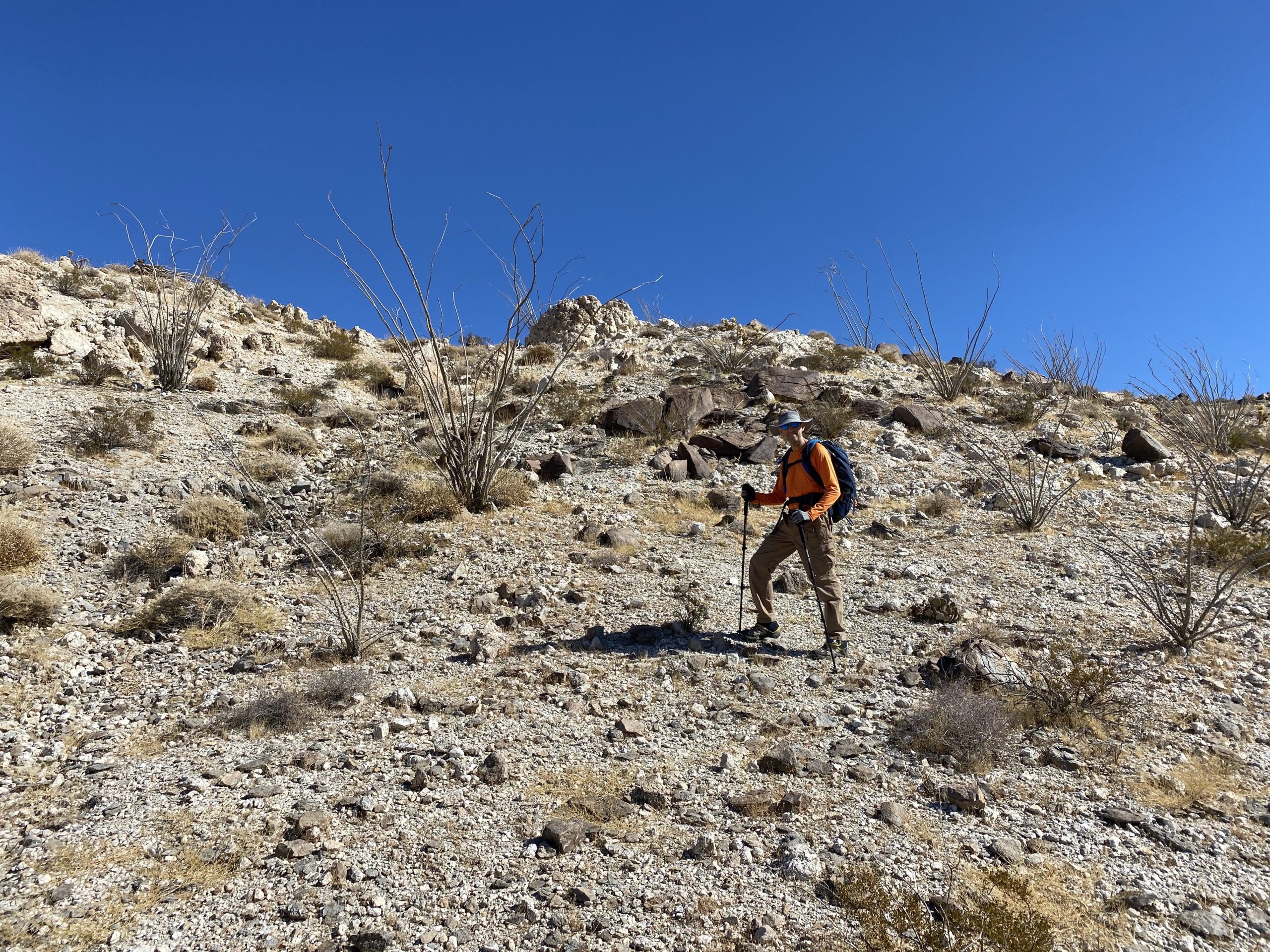
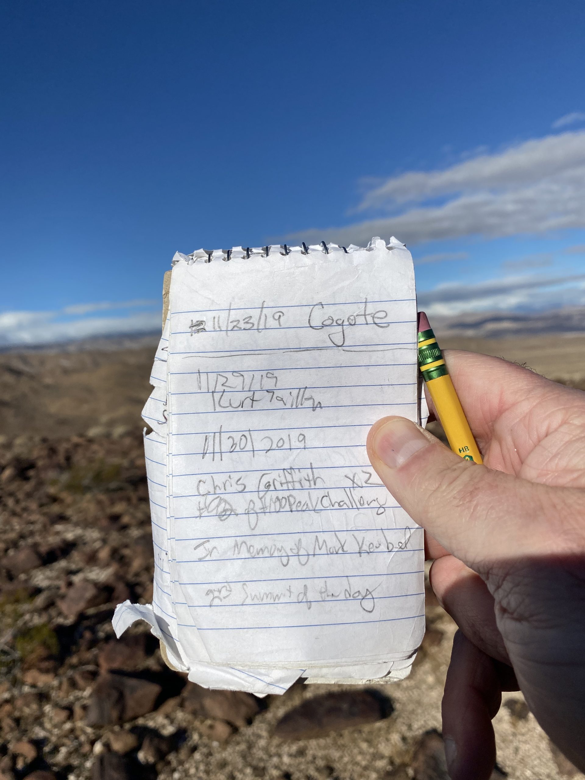
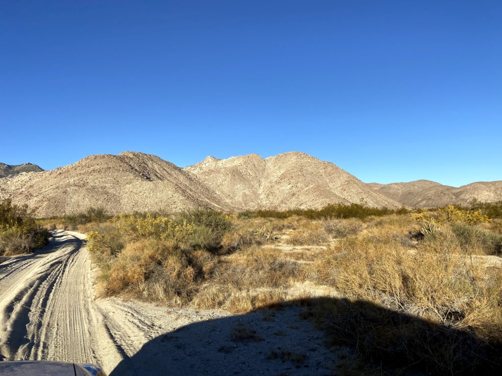
Wanted to do something low-key, as I hope to get several Arizona peaks in later this week, and Windy Benchmark came to mind. This benchmark sits atop a small bump above one of the tunnels on the San Diego and Arizona Eastern Railway. The hike out to it is pretty mild, so it was a perfect adventure to invite a non-peakbagger along on. While I had done some peaks with Mark back in 2019, a knee injury meant he needed to stay mostly flat, so this hike would be perfect. We made the long drive out toward Dos Cabezas, but it went quickly as we had not seen each other for some time. After making our way past the windmills, we drove toward our starting point along the east side of the tracks. Just before the old water tower sits Cabez Benchmark. I pulled off and hopped out of the car, scouring the desert floor to see if I could locate it. Sure enough, there it was, affixed to the ground. It is not on any list, but it was still fun to find.
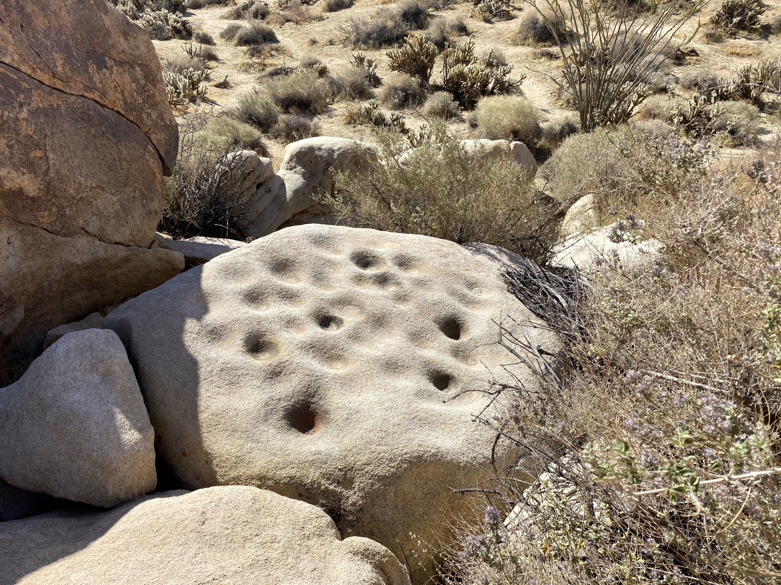
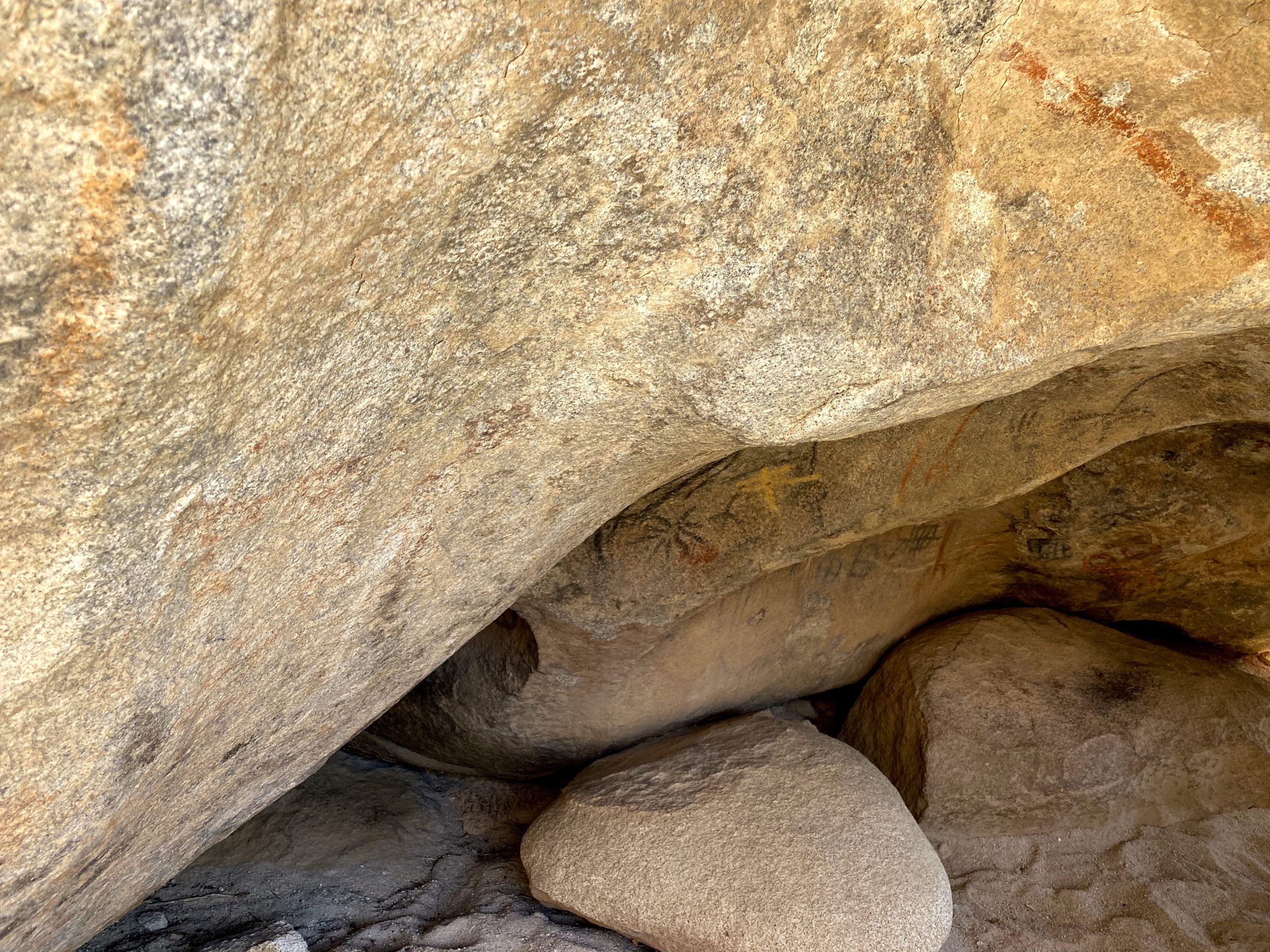
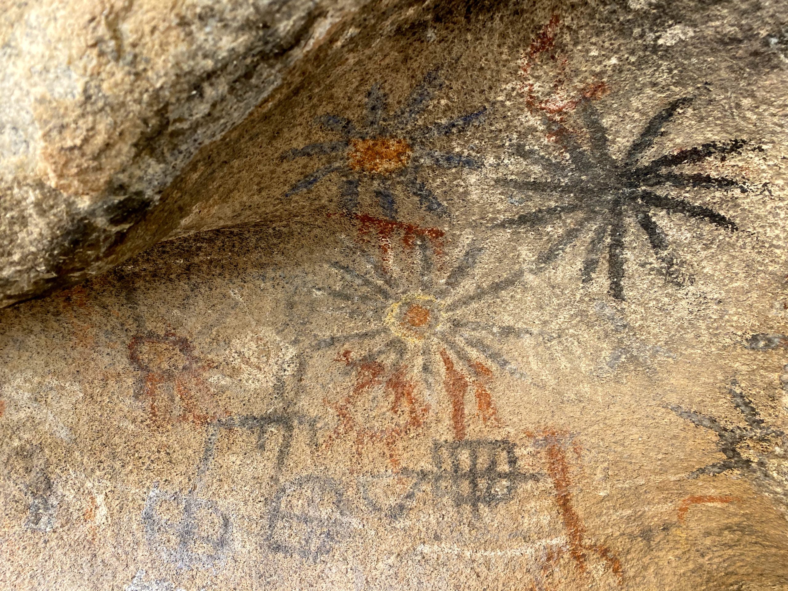
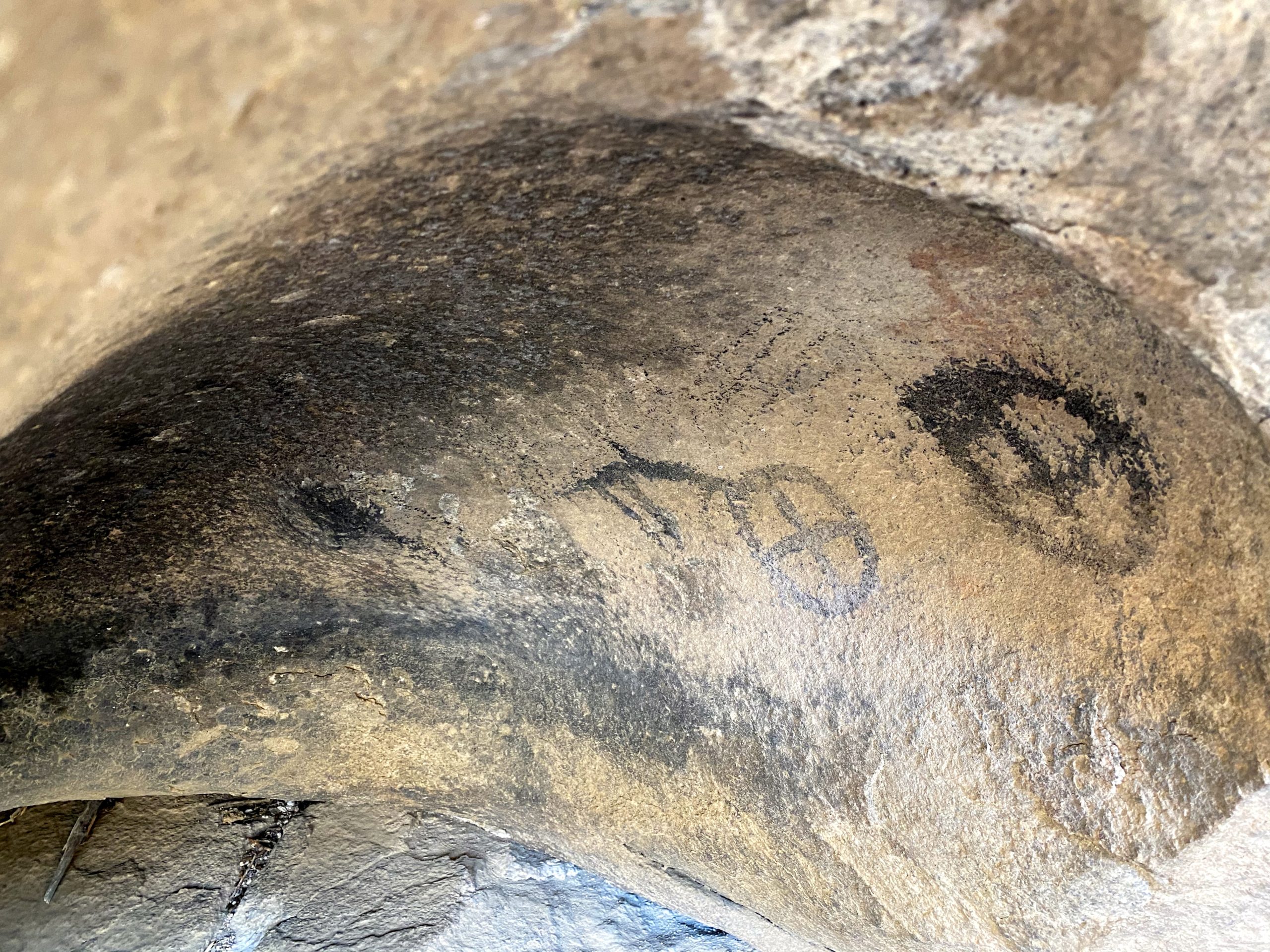
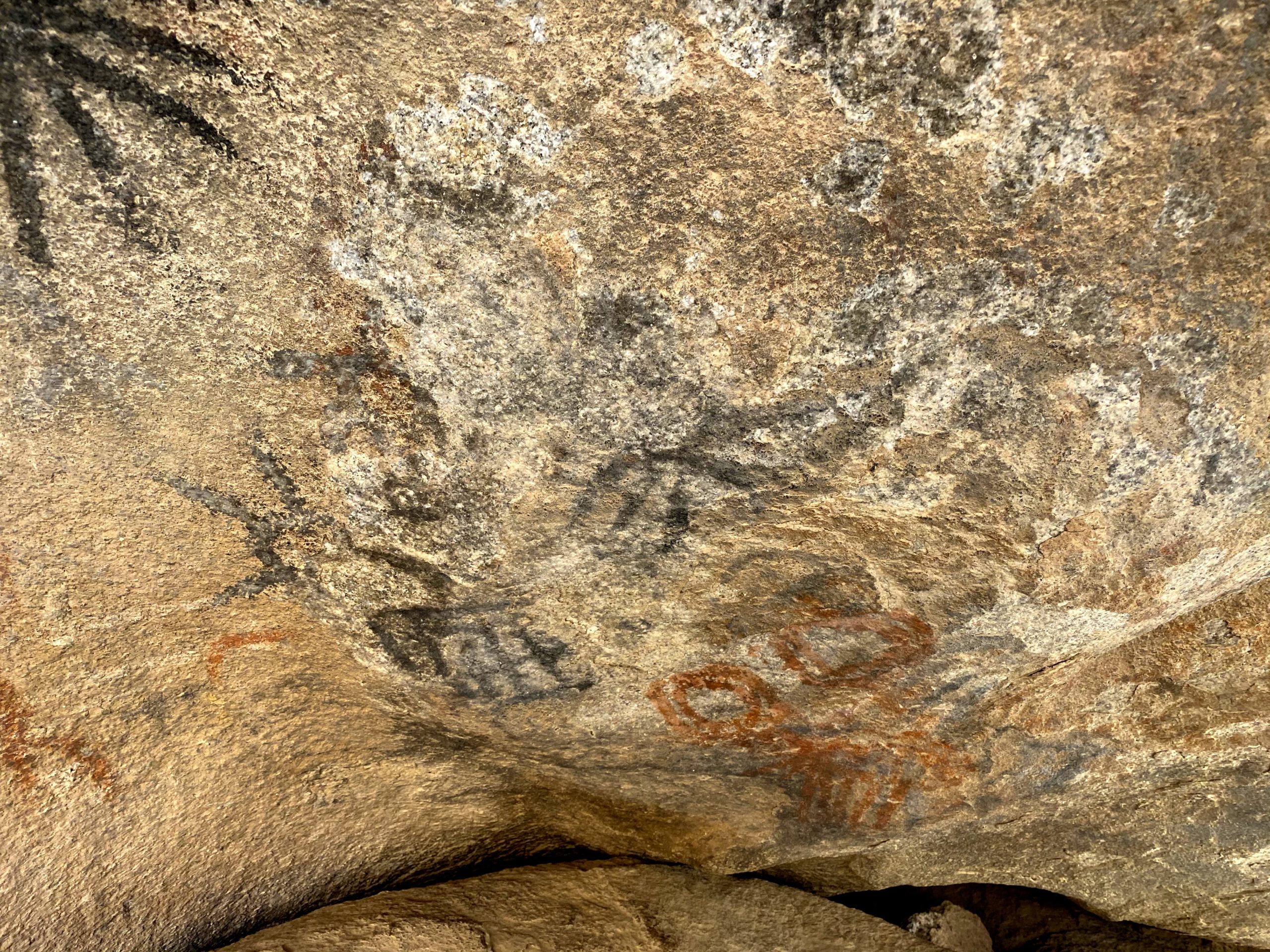
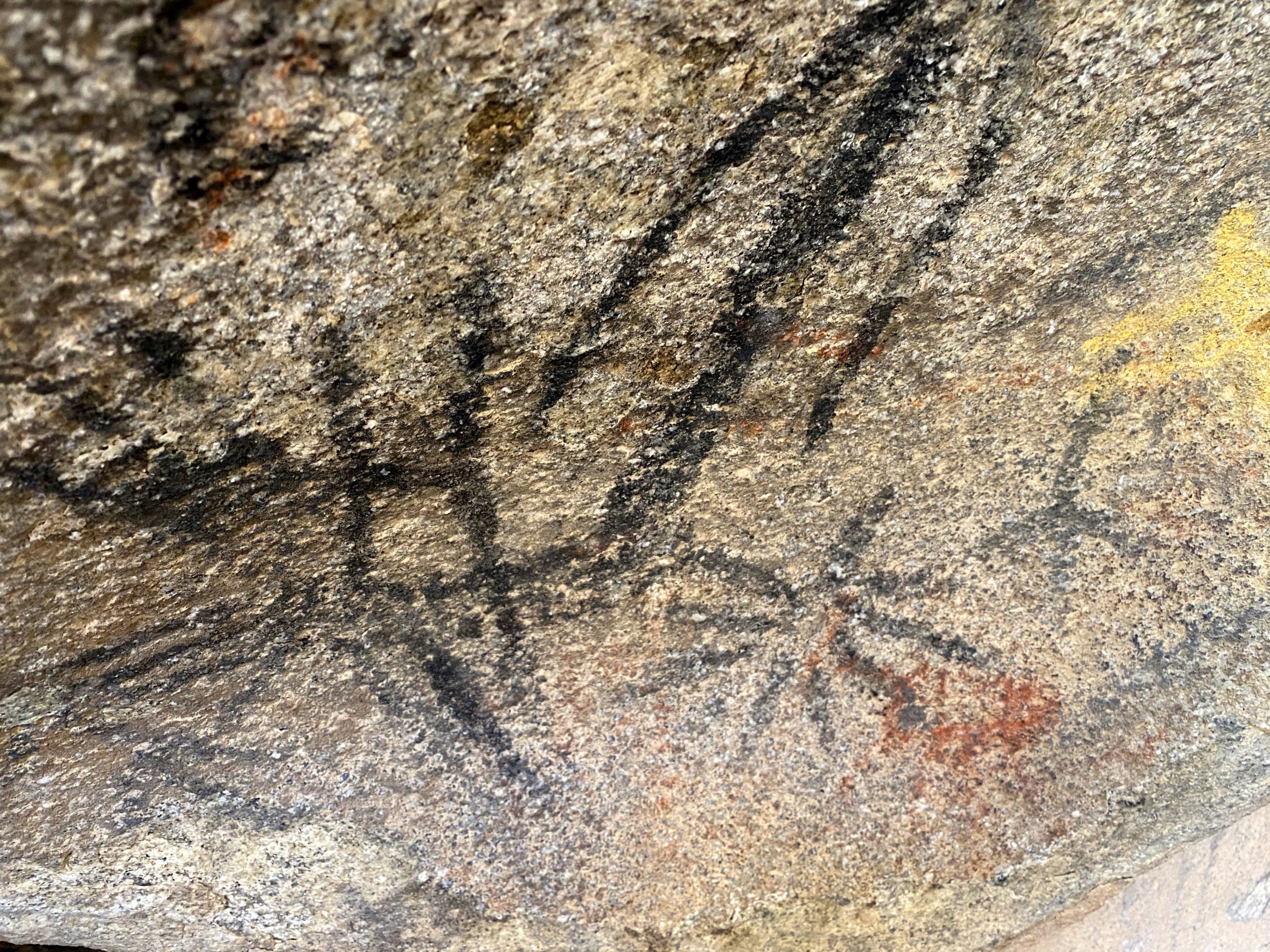
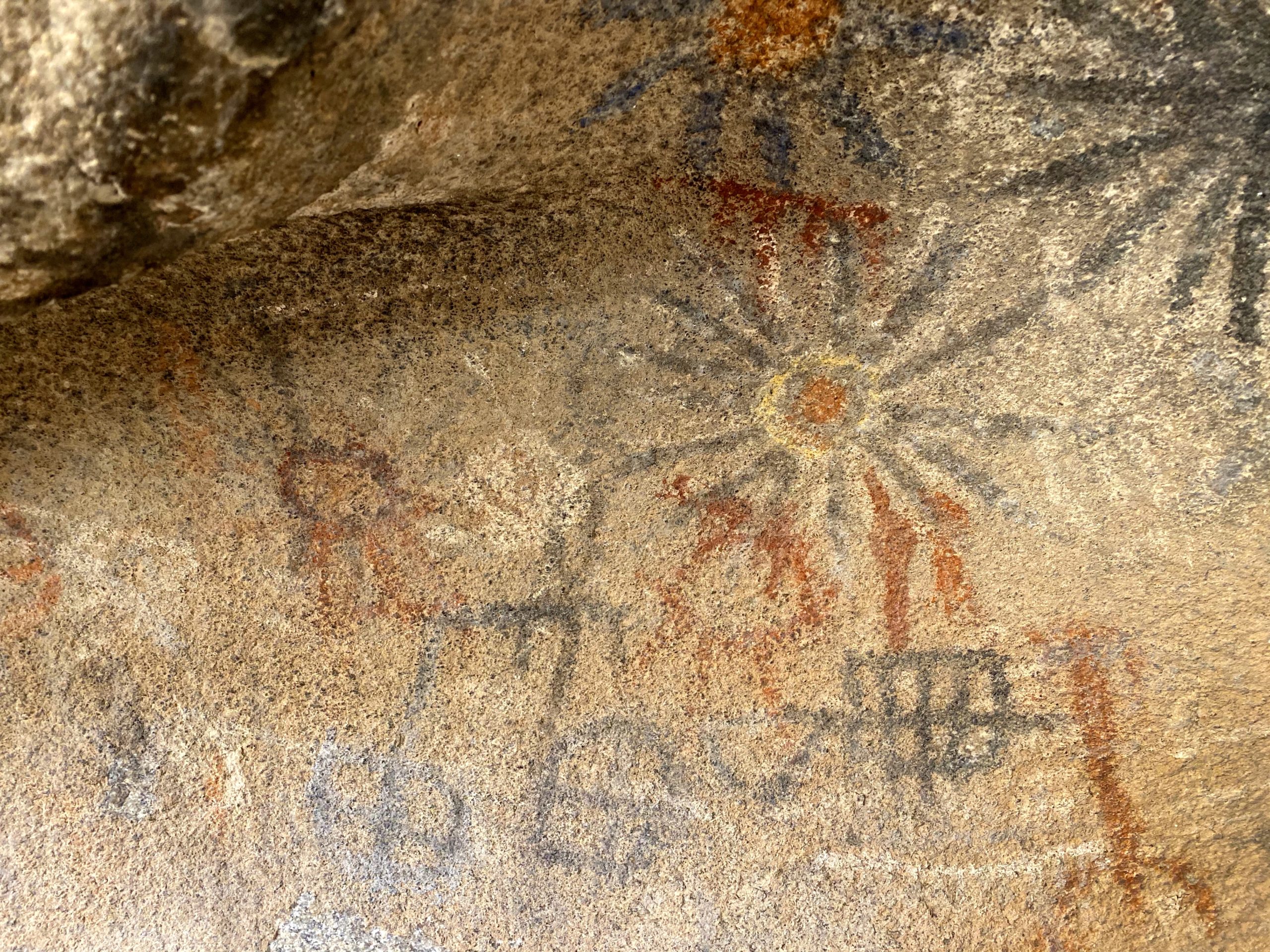
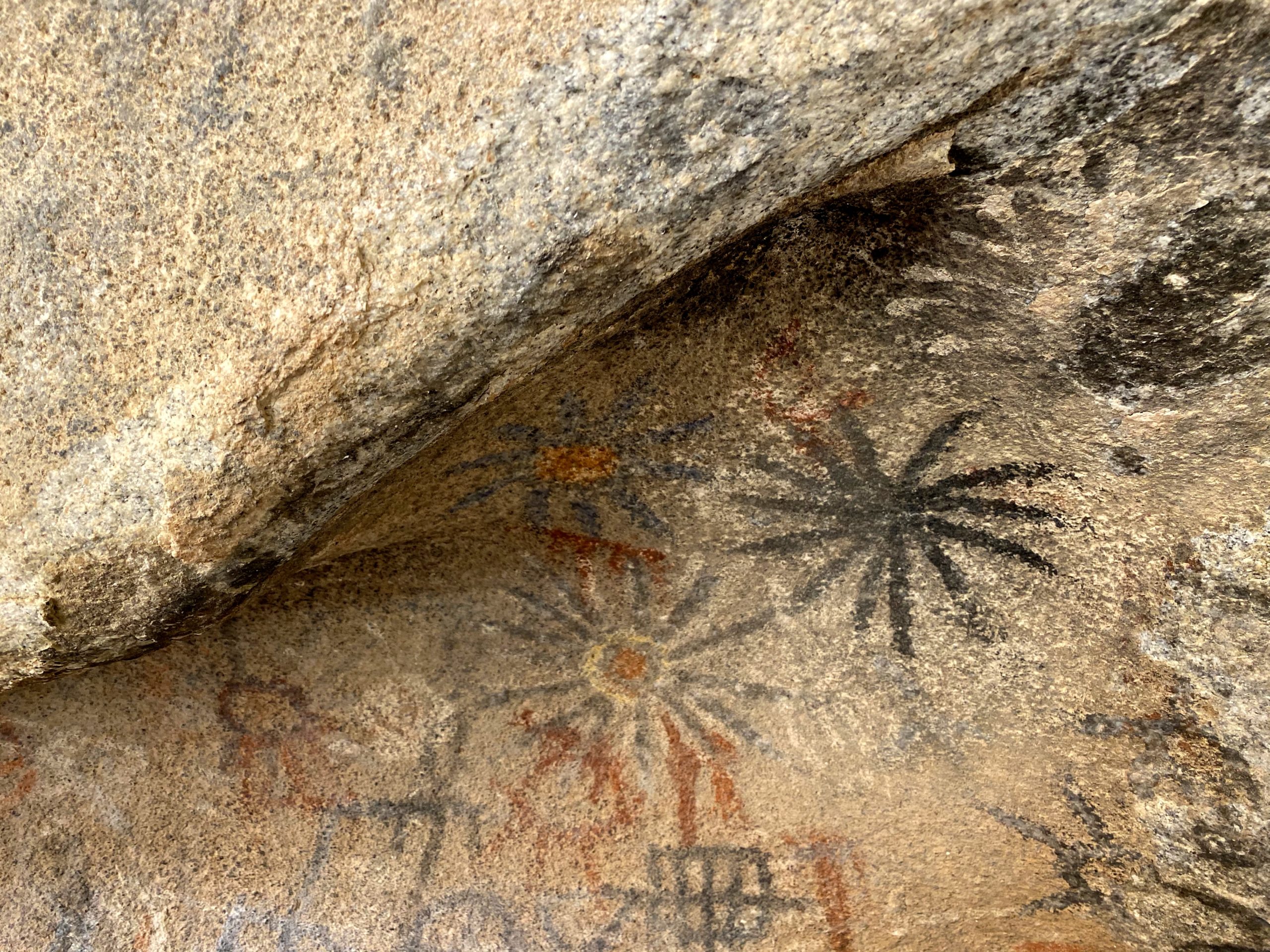
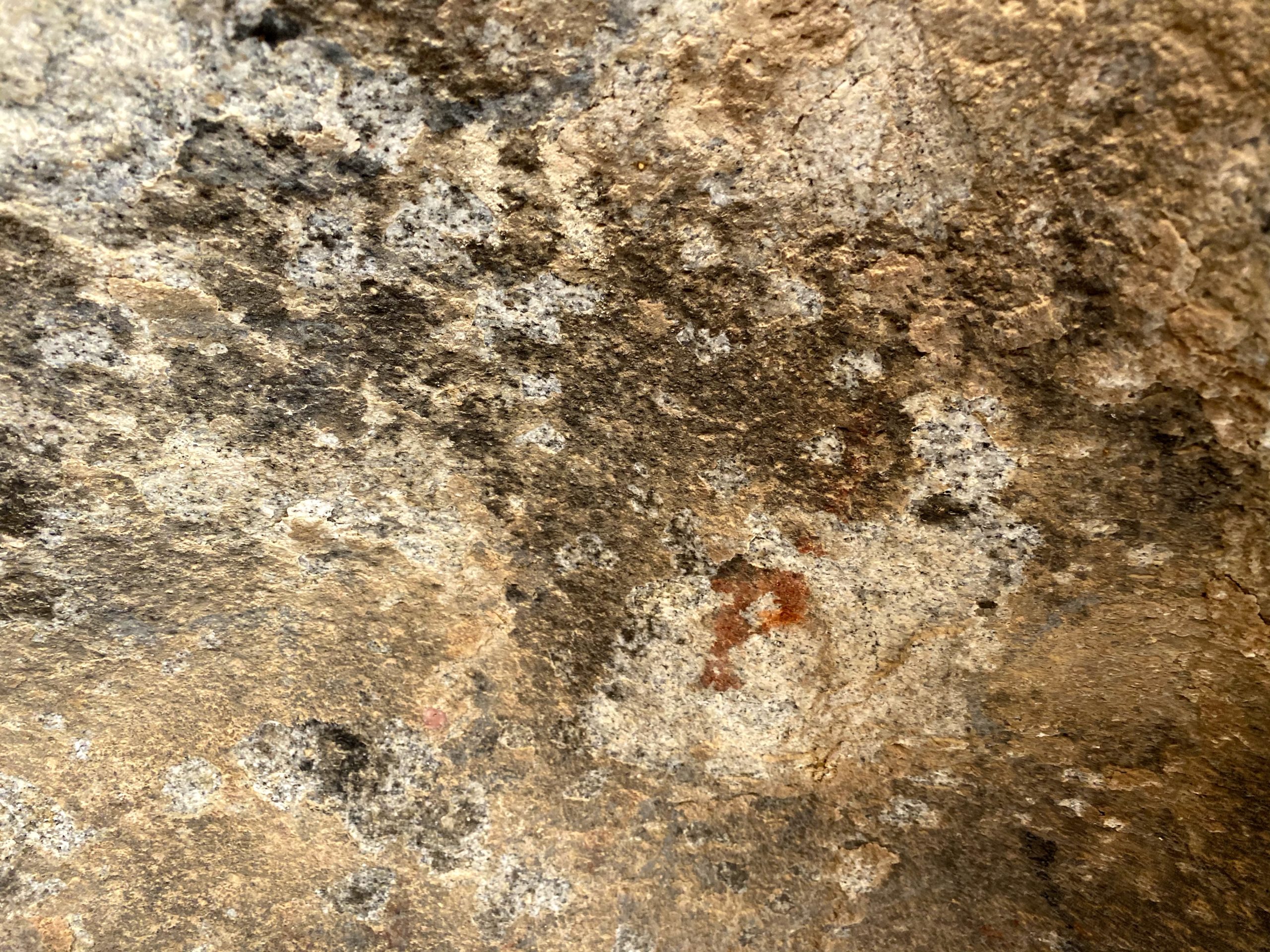
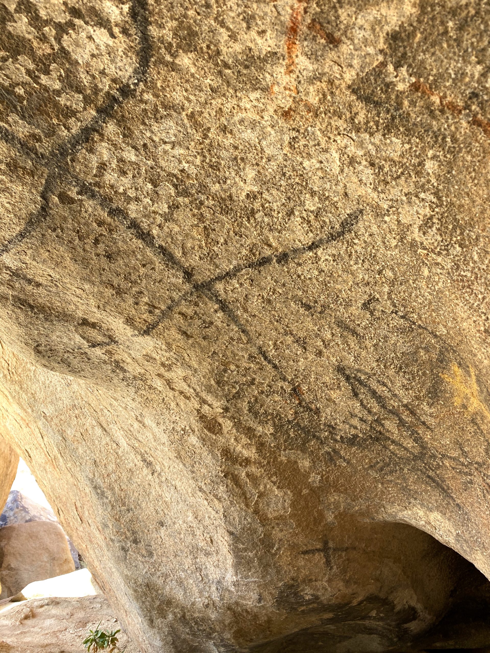
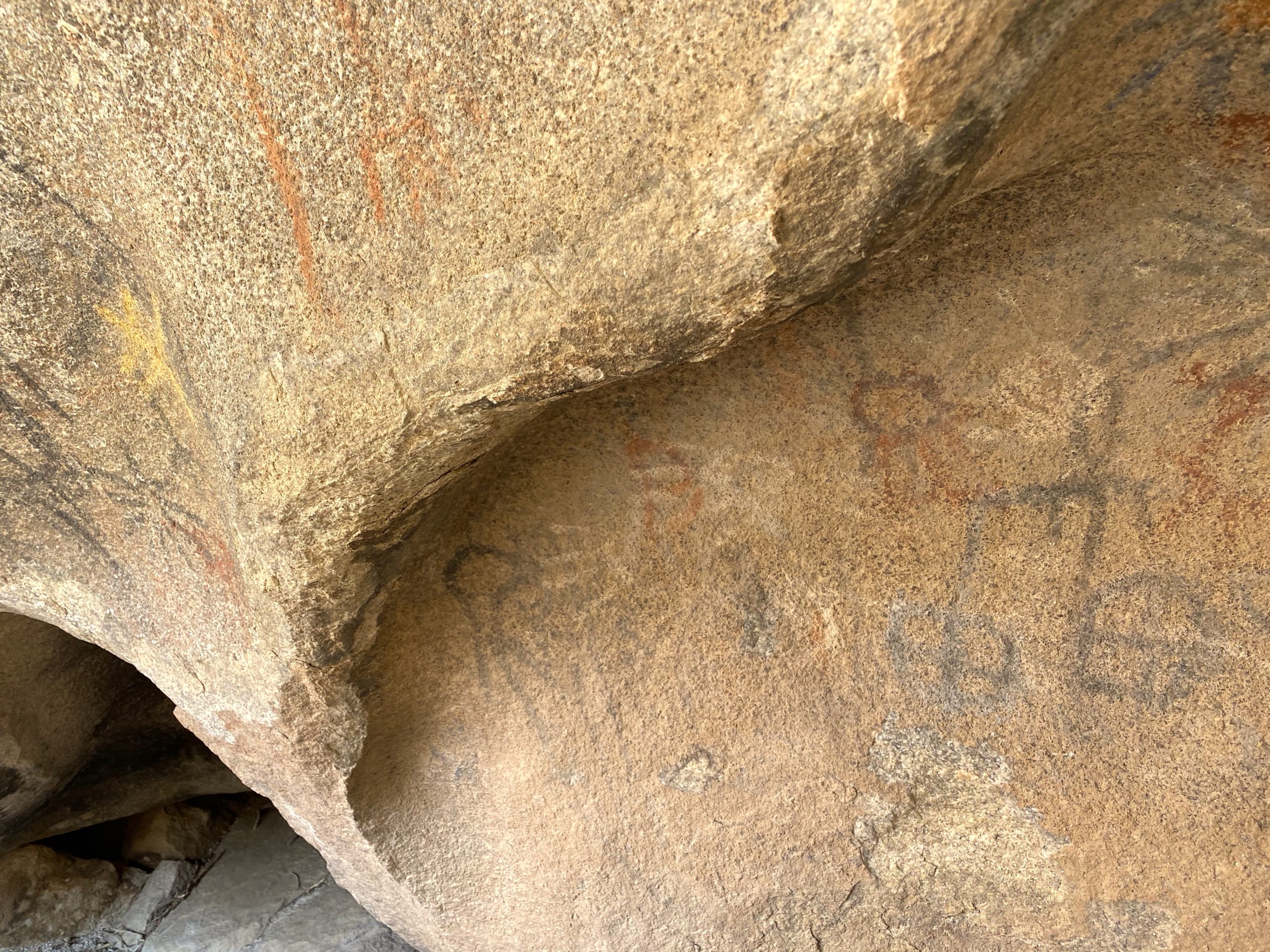
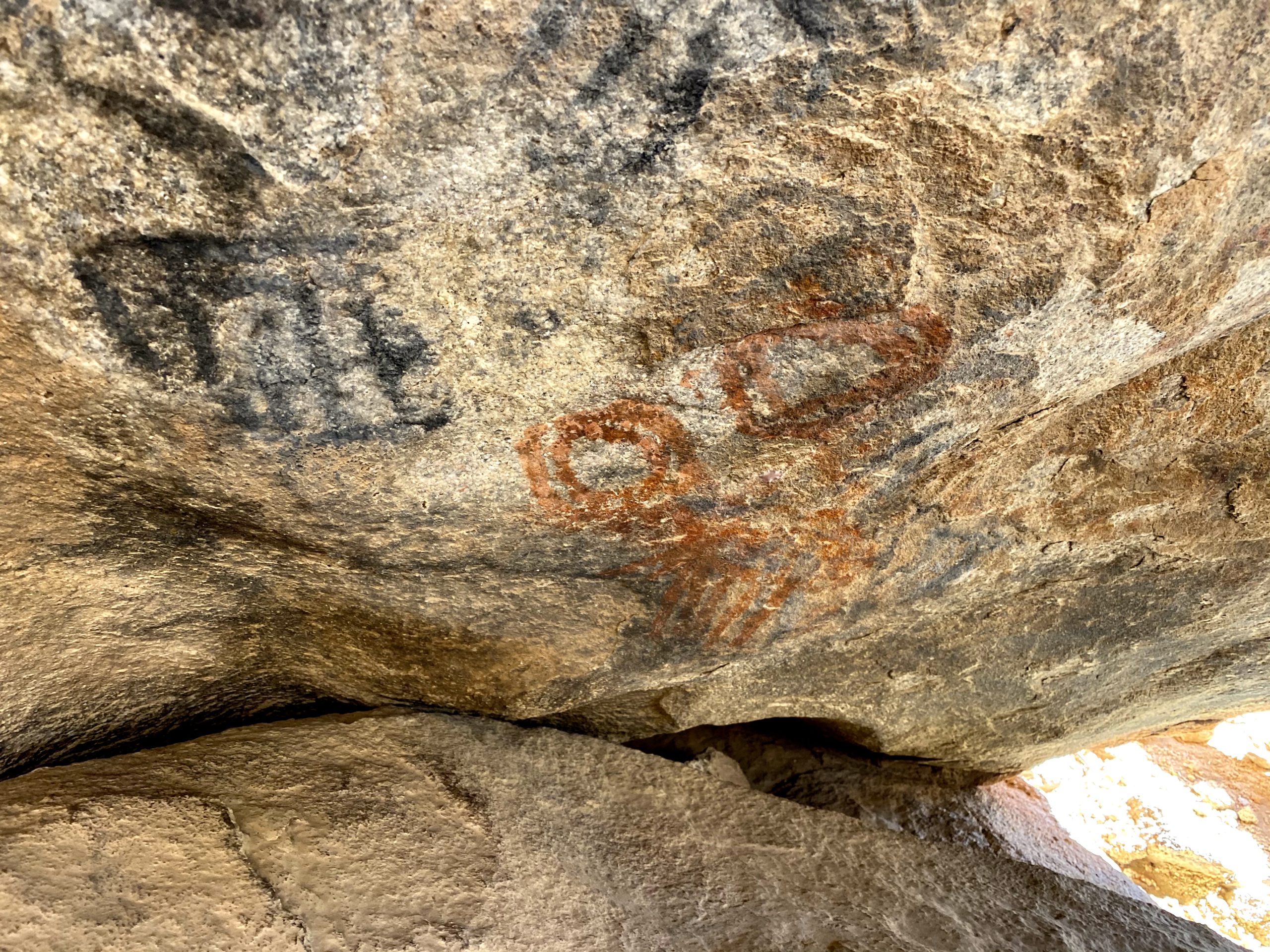
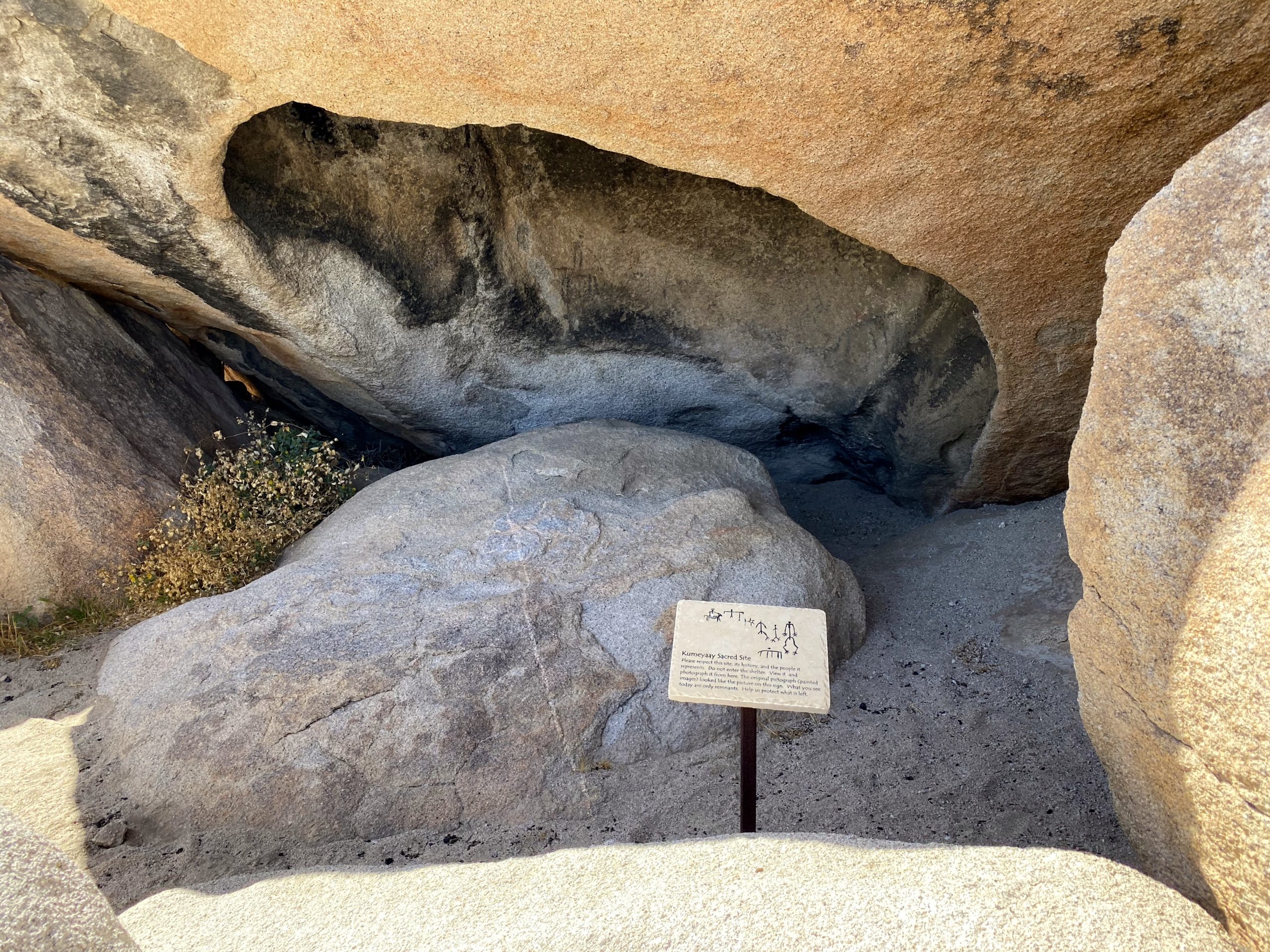
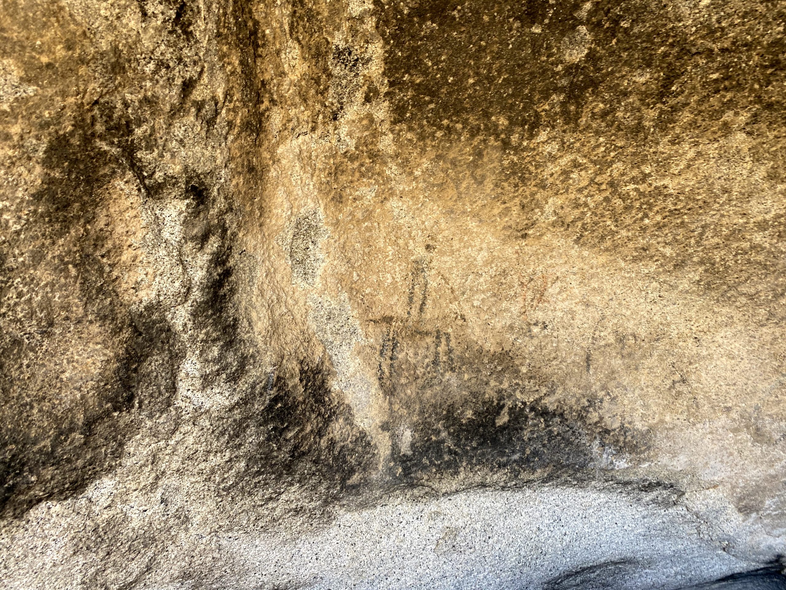
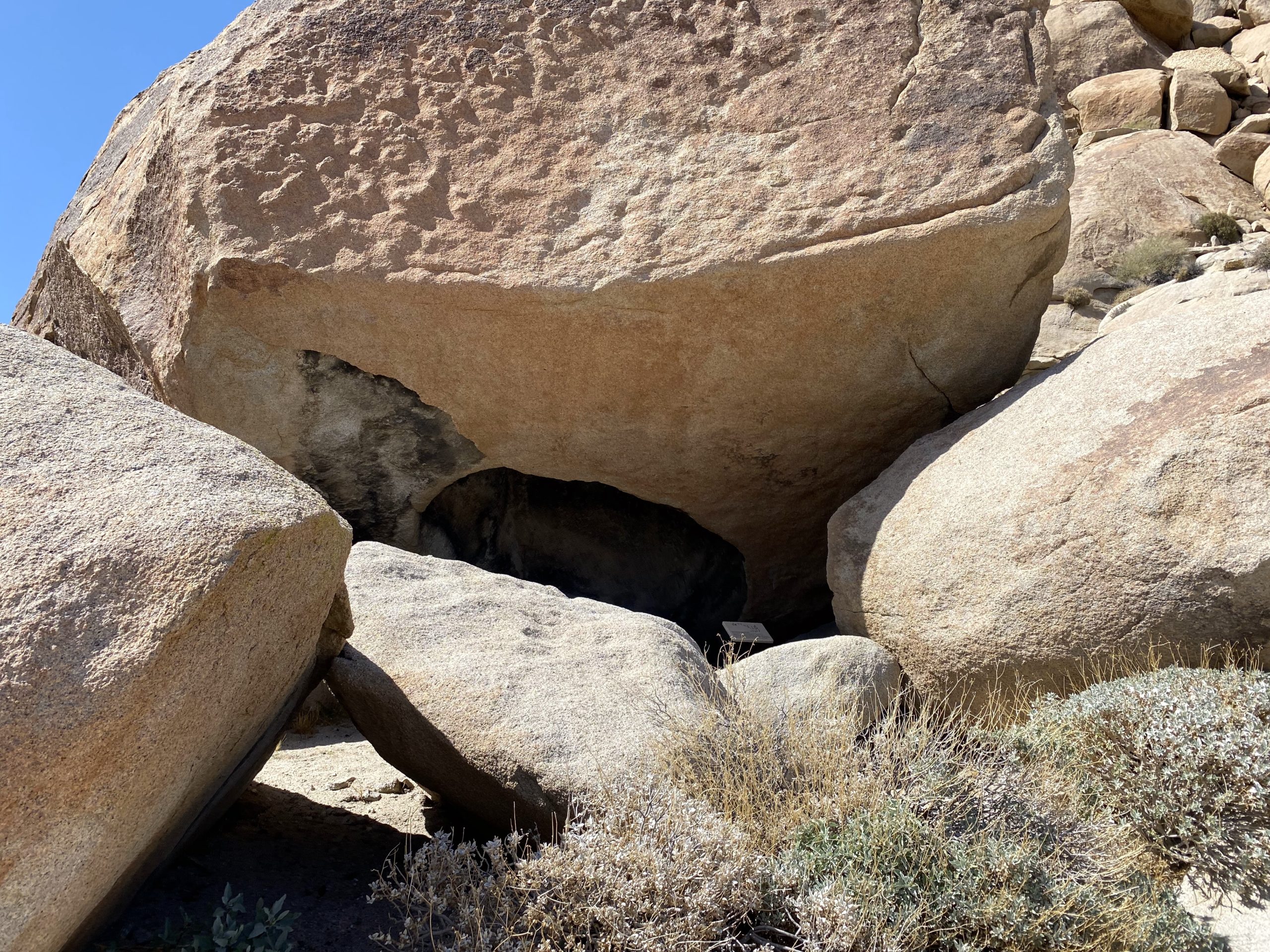
We parked at the usual spot for those hiking out to Indian Hill or taking the northern approach to the Goat Canyon Trestle. In addition to wanting to summit Windy Benchmark, I had hoped to locate the Blue Sun Cave. This is an incredible pictograph site, but its location is carefully guarded to preserve it. I was able to deduce its approximate location, so off we went. I knew it was around Indian Hill, so it was not going to be too far out of our way. We cruised across the open desert until we came to where it should be located. I scanned the rocky hillside, looking for a possible cave entrance. Spotting what appeared to be something, I went ahead to survey it. Another clue to its location is a rock covered in morteros, so I knew I was probably on the right track. I scrambled up and over some boulders, and there it was! Mark followed me up and we stood before some incredible images. I took a moment to reflect on the legacy of these drawings, wondering what they truly meant to the people who drew them.
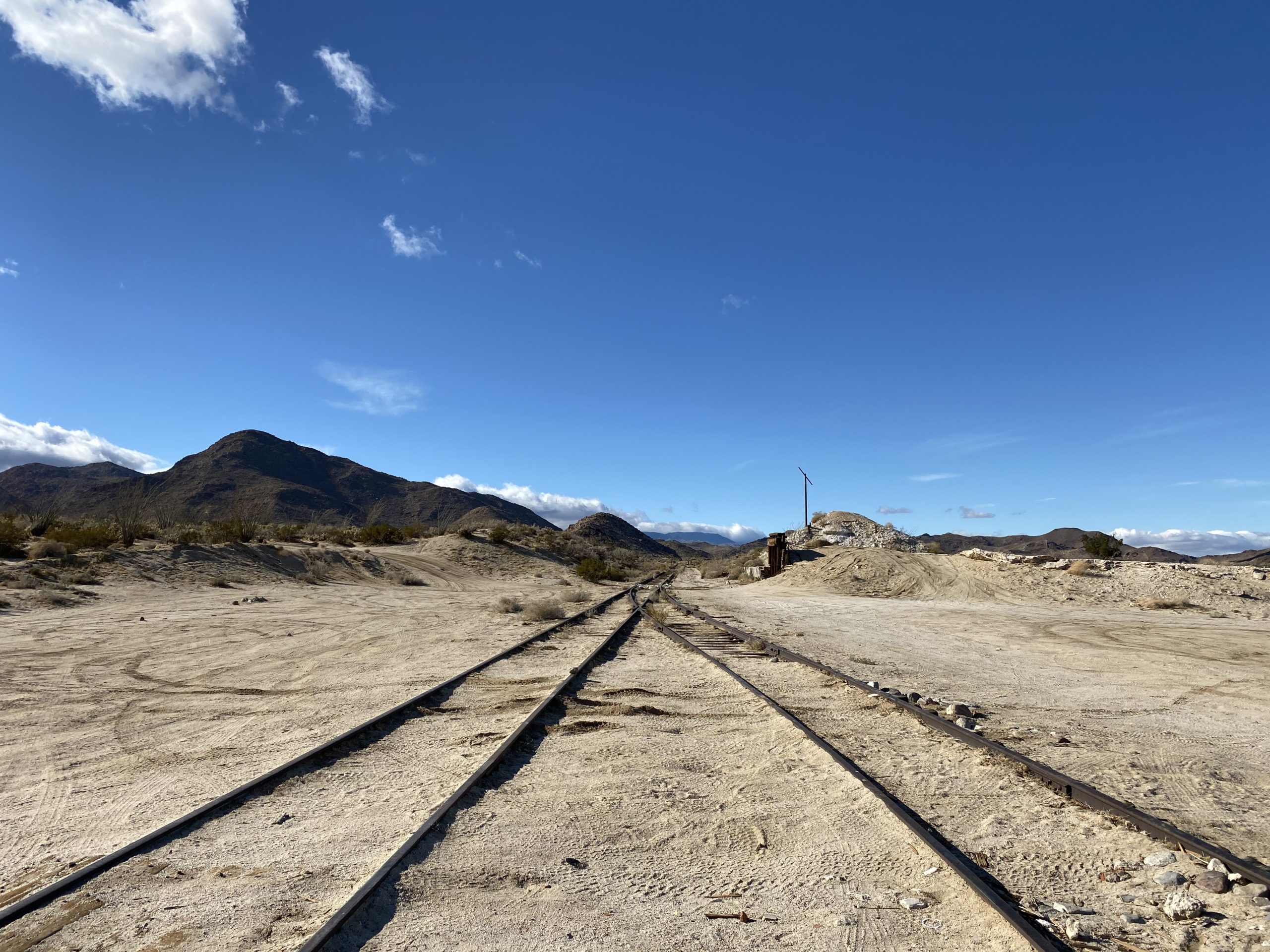
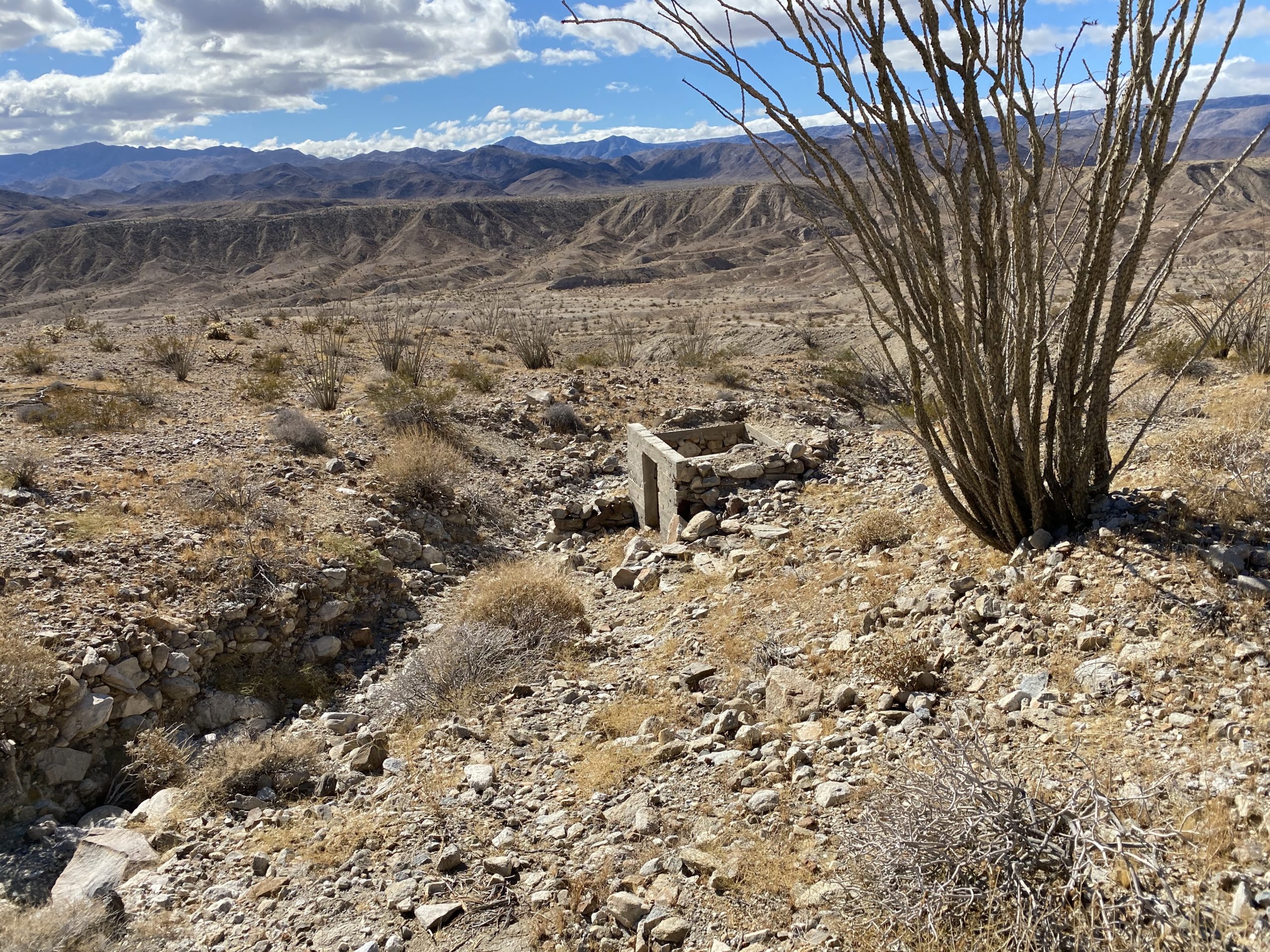
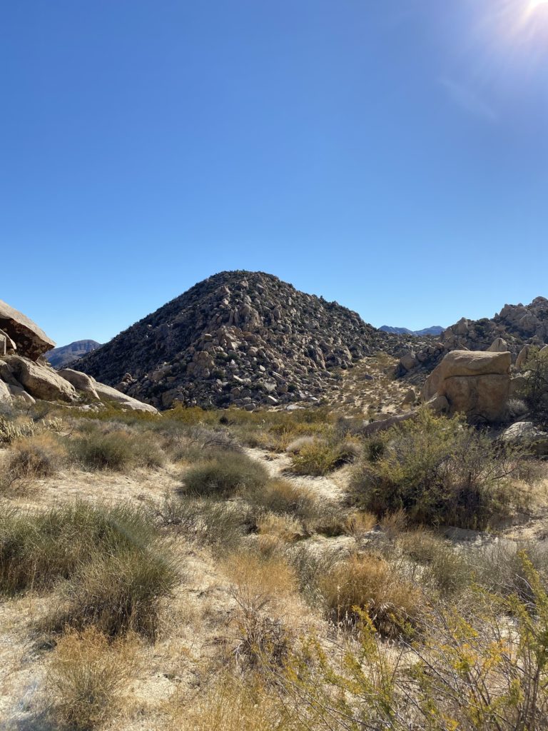
Leaving with our photos and memories, we set off back toward Windy Benchmark. I spotted the rocky draw that I had erroneously attempted to climb thinking that was the route to Indian Hill. Once back on the old jeep road, we soon found ourselves at the ruins of one of the work camps. We poked around a bit before starting down the tracks. Now technically, walking on the tracks is trespassing, but I was not worried about it. After about 1/2 mile we came to the base of Windy Benchmark.
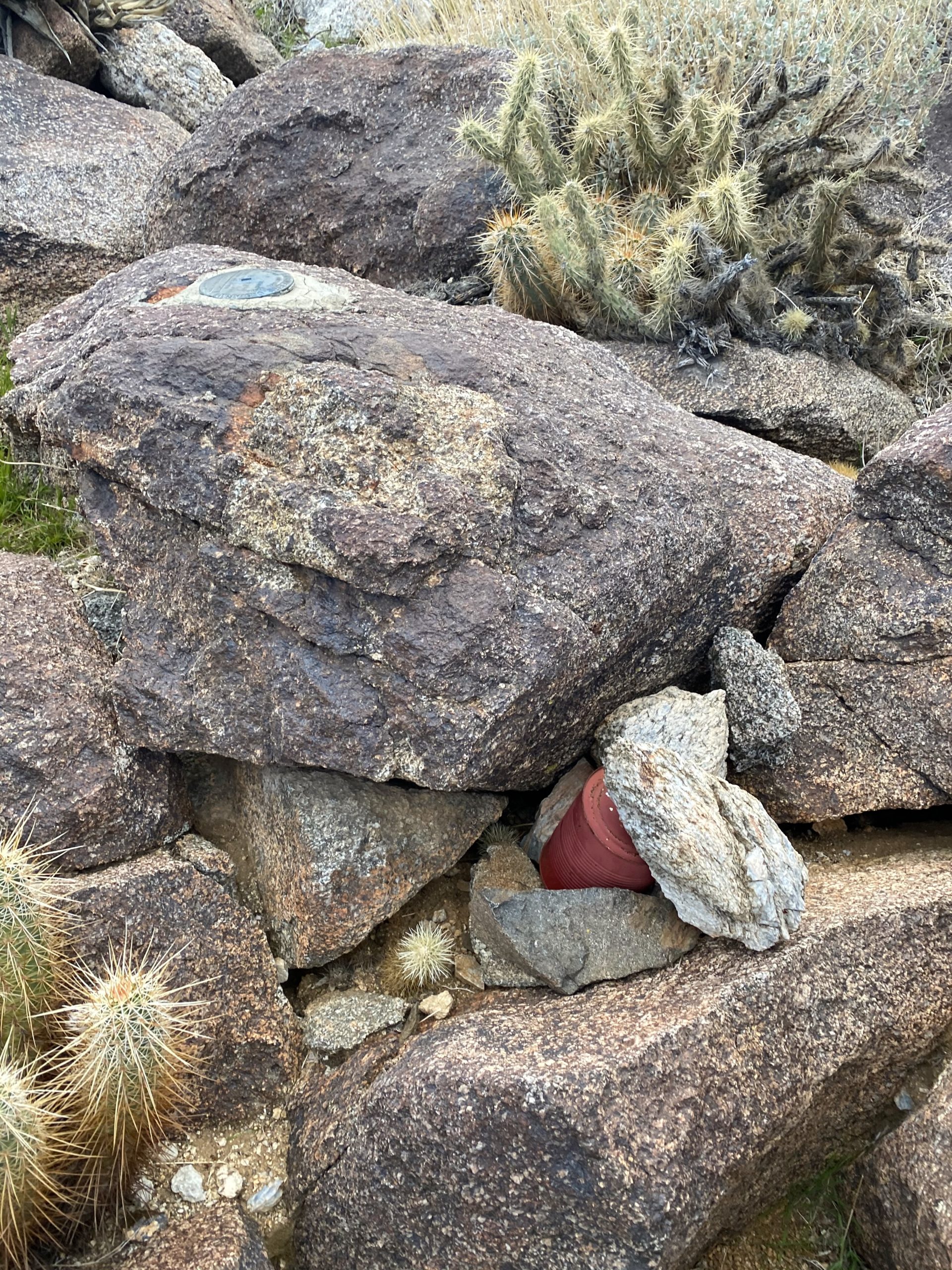
Mark decided he would try to climb it with me. We left the tracks and started up a sandy slope. After a short while, Mark turned back, as it was too much on his knee. He was going to explore the tunnel and the views on the other side. So I continued on alone. The sand gave way to more rocky terrain. I spotted what appeared to be the old bypass road, and followed it up to the ridge. I saw four hikers making their way along the track, heading down to the trestle. I continued up the gentle ridge, dodging the various cacti. Once on the summit, I found the benchmark and the register can. I marveled at the original register, before adding my name to the newer one. I took in the views from the peak for a bit before retracing my route.
Once down, I headed into the tunnel and found Mark walking back through. He had chatted with those hikers, and some mountain bikers as well. He loved the vistas on the other side. We returned to the junction with the old jeep road but first decided to explore the other tunnel for a bit. This tunnel had an actual gate inside, but it was half-open. We met two more hikers who were just out exploring the area. We chatted some before heading our separate ways. We stayed on the old road all the way back to the car. Sitting under the tracks, three more hikers were getting ready to head off. I gave the standard “Technically, it is trespassing” warning, then gave them some guidance on their route.
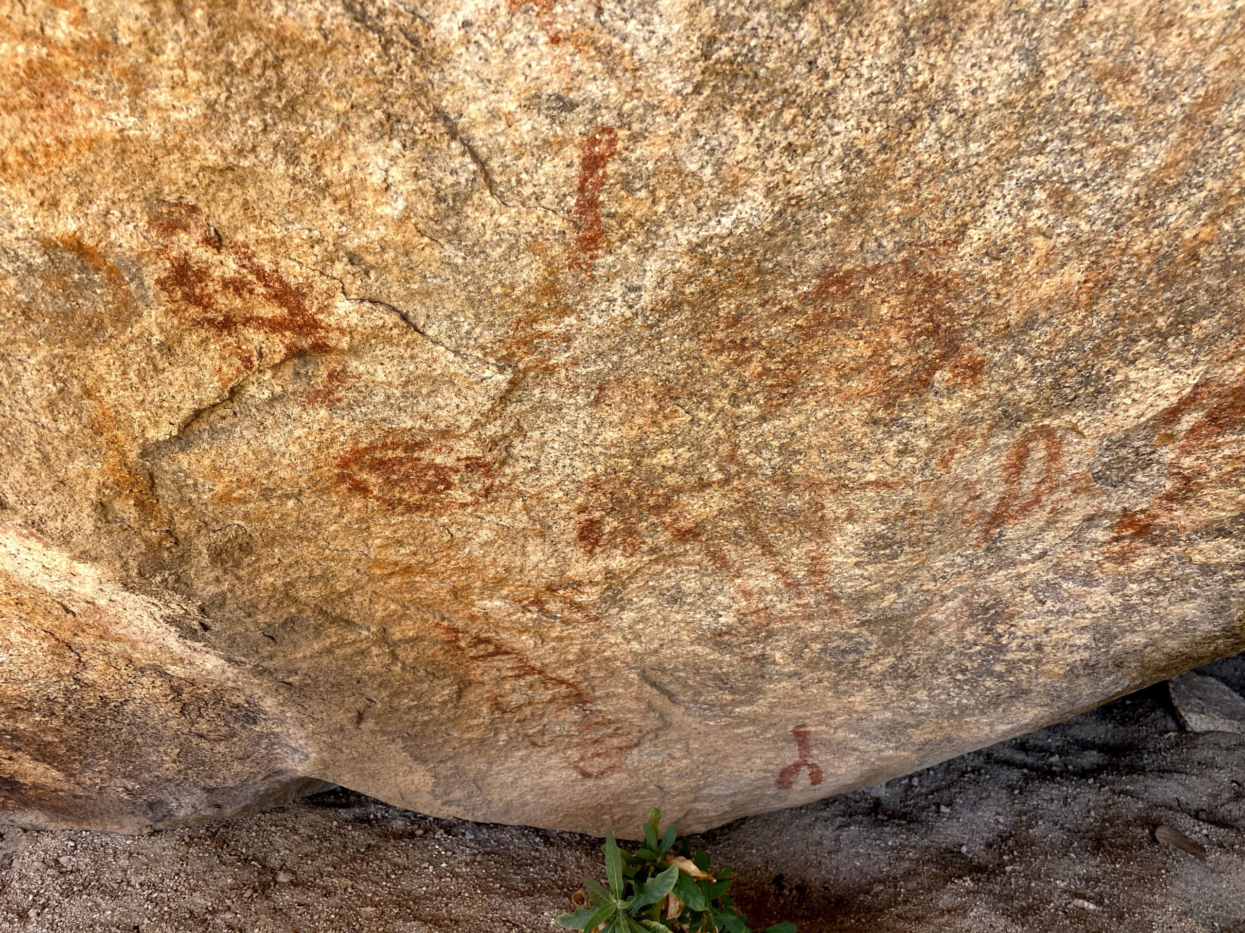
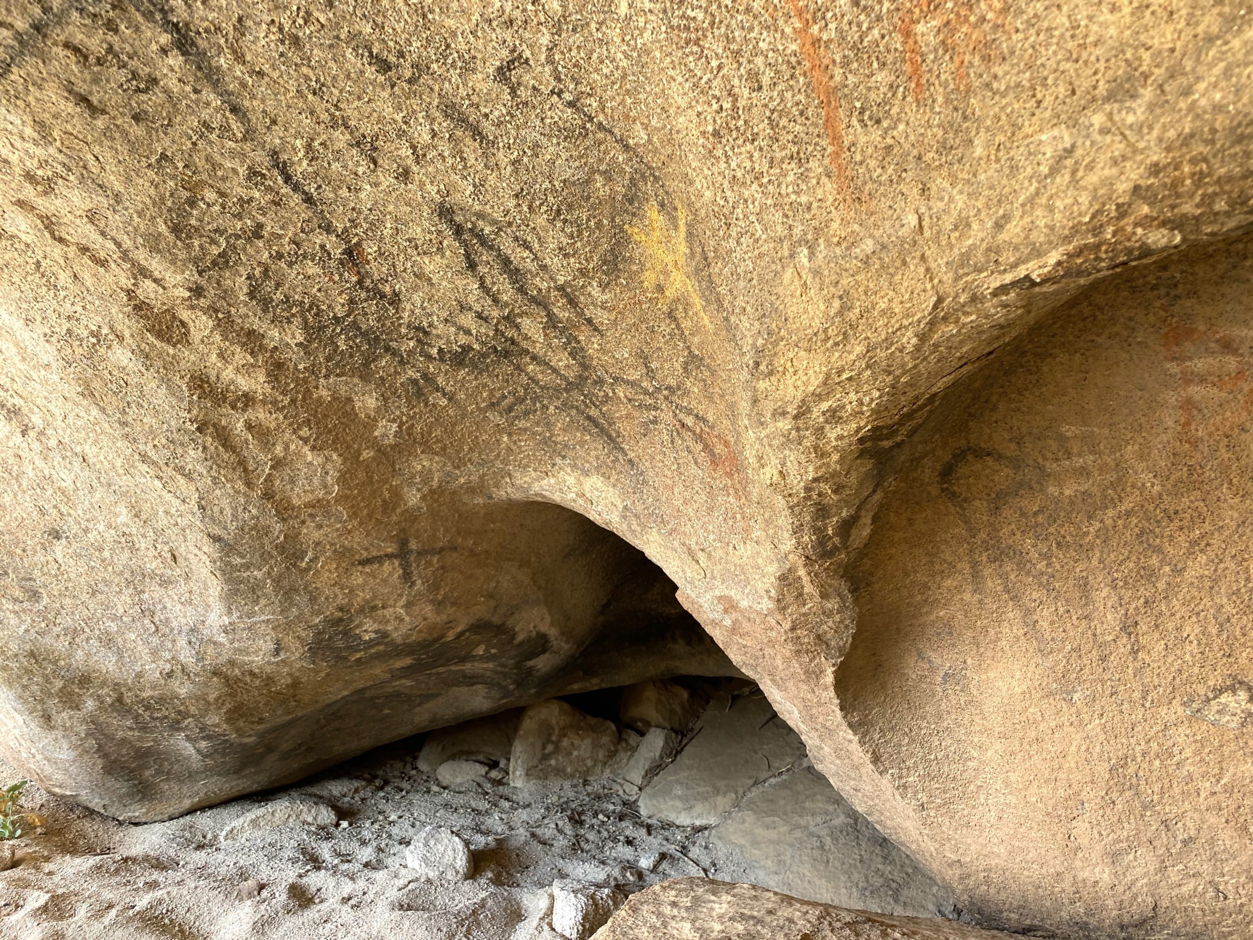
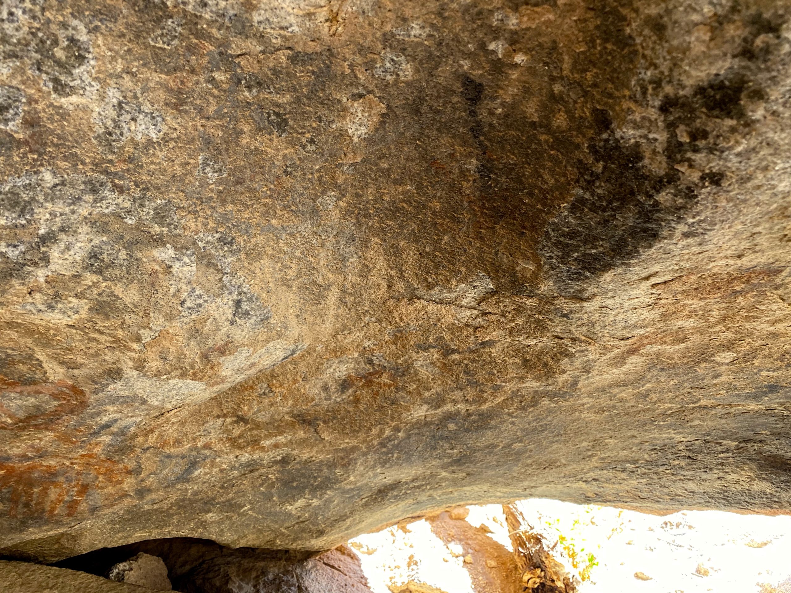
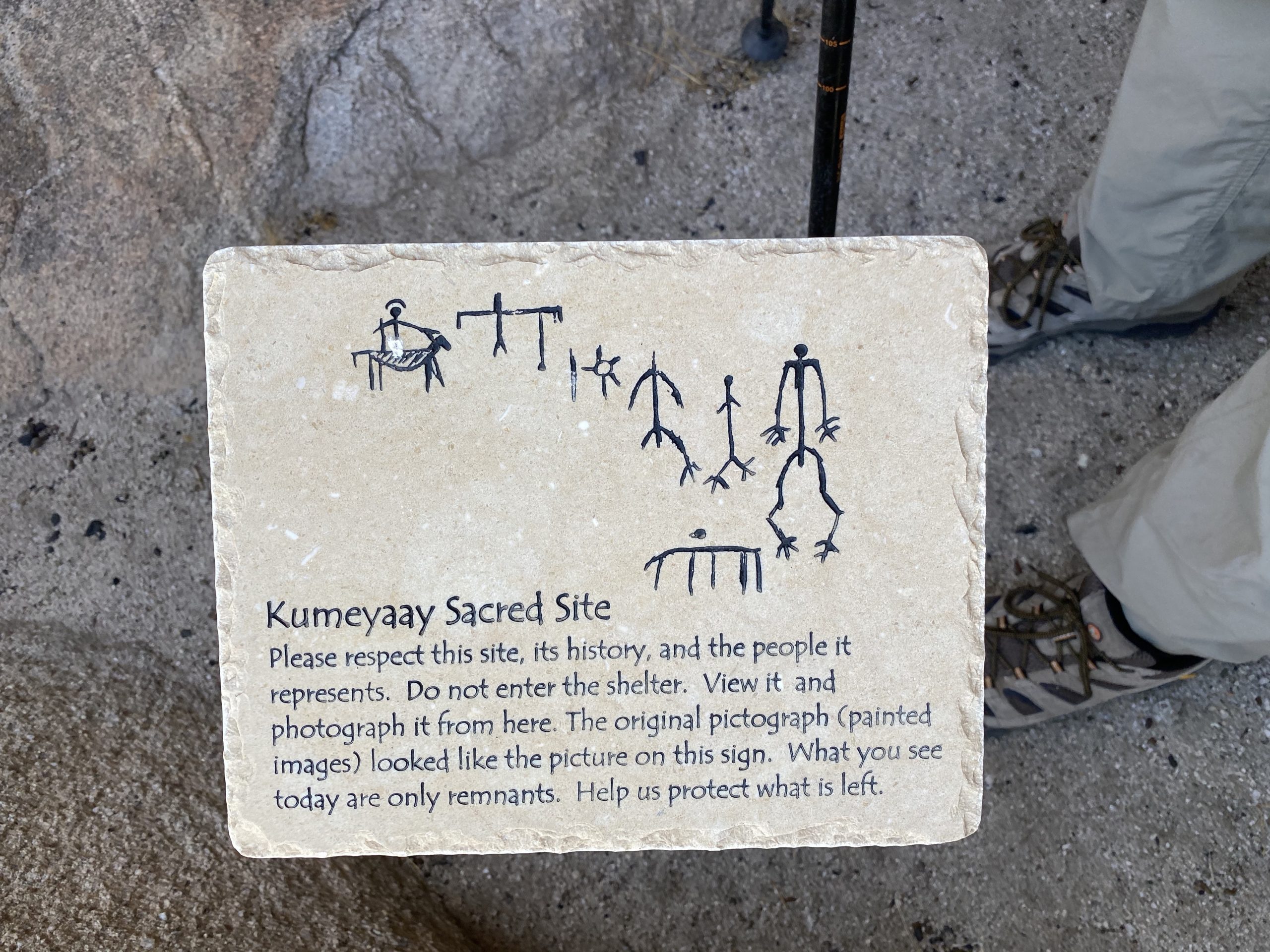
We drove back to the water tower and had our lunch. We explored the area for a bit afterward. Our next stop was Piedras Grande. While I had summited this peak twice before, I never explored the trail leading up to the turn-off. The closed road has a variety of signage explaining the significance of the area. I was able to locate a Yoni, or female fertility symbol, and showed it to Mark. Our real hope was to locate the “Horse and Rider” pictograph. I knew it had a small sign in front of the cave, so I kept my eyes open for it. Usually, I am focused on the peak and not fully looking for other things. About 3/4 mile from the trailhead, I spotted what I thought might be it and sure enough, there was a small sign. Unfortunately, this pictograph has suffered some damage. This “Horse and Rider” pictograph would have been made after the first European contact with the local Kumeyaay Indians. Spanish explorer Juan Bautista de Anza led an expedition through the area in 1774.
We returned back down the road and headed home. It was nice to squeeze in a peak, but seeing these pictographs was clearly the highlight of the adventure.
I am an avid peak bagger, sometimes backpacker, and former sea kayaker living in San Diego. In 2019, I became the third person to complete the San Diego 100 Peak Challenge. Not stopping with that accomplishment, I set my sights on the harder San Diego Sierra Club 100 Peak list, which I completed in 2021. In addition, I have conquered several Six-Pack of Peaks challenges (SoCal, San Diego, Central Coast, and Arizona-Winter). Beyond attempting the San Diego Sierra Club 100 Peak list a second time, I am looking forward to exploring new summits and new adventures across the southwest.
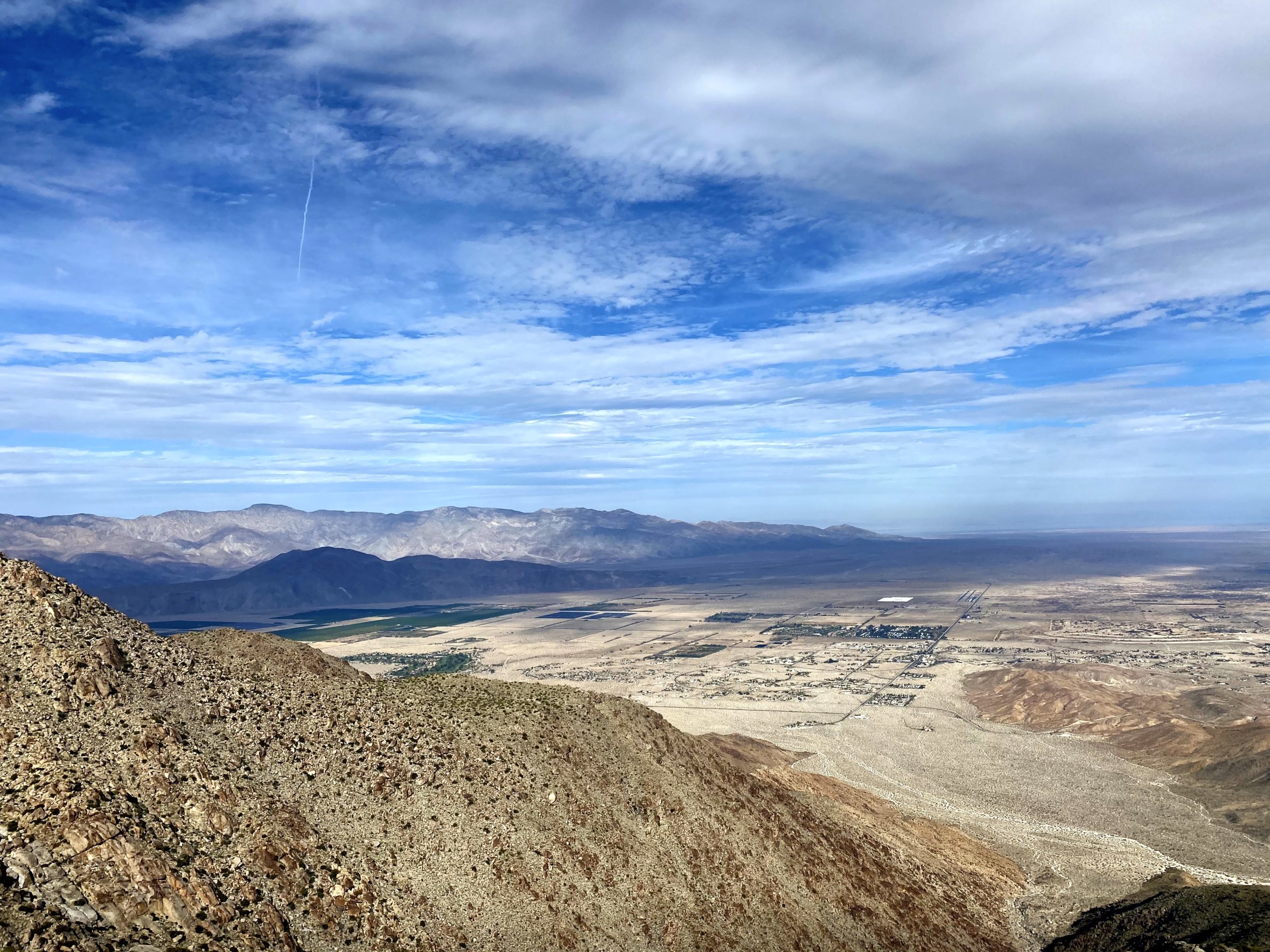
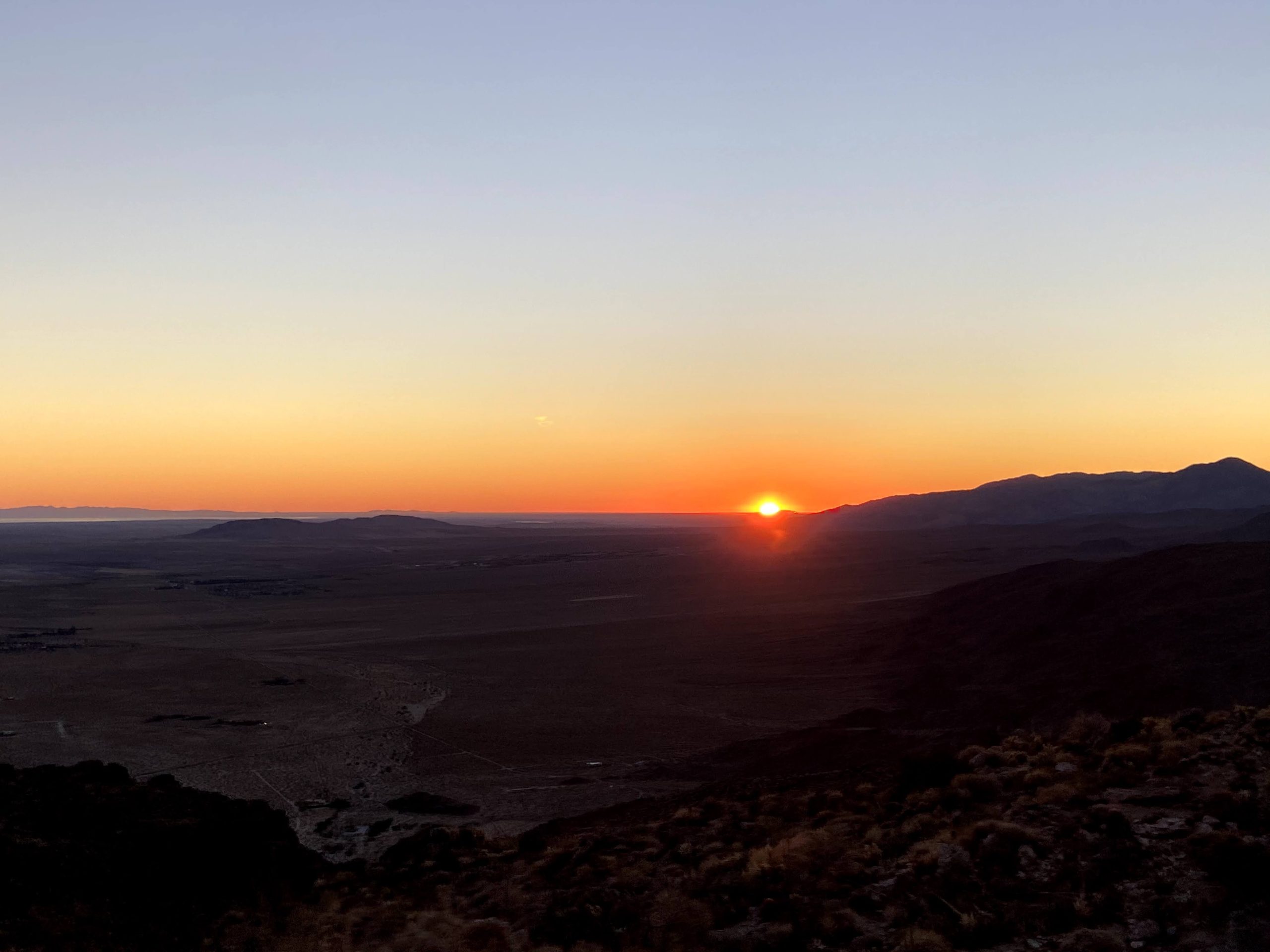
The day started way too early, as we had planned to meet up at the Hellhole Canyon Parking Lot at 6:15 am. Normally, we might have split a room at one of the nearby motels, but Covid nixed that option. Since we also had a Zoom birthday party for a good friend’s 50th, camping was also out of the question. We arrived a bit early, so Ted wandered around snapping some sunrise photos. Two of our planned hiking buddies had to bail after an extremely long previous day’s hike of Mile High. Greg had arranged with Laura Newman to shuttle us up to Ranchita and the start of the hike. Initially, she was going to join us, as she needed to summit Webo Benchmark, but could not afford the time. She opted to hike some smaller peaks, but still graciously offered to drive us. Greg showed up a bit behind schedule, as he ran into some friends who were also out in Anza Borrego hiking. This was fine with me as it gave me a chance to get to know Laura, whom I had only heard about from various folks.
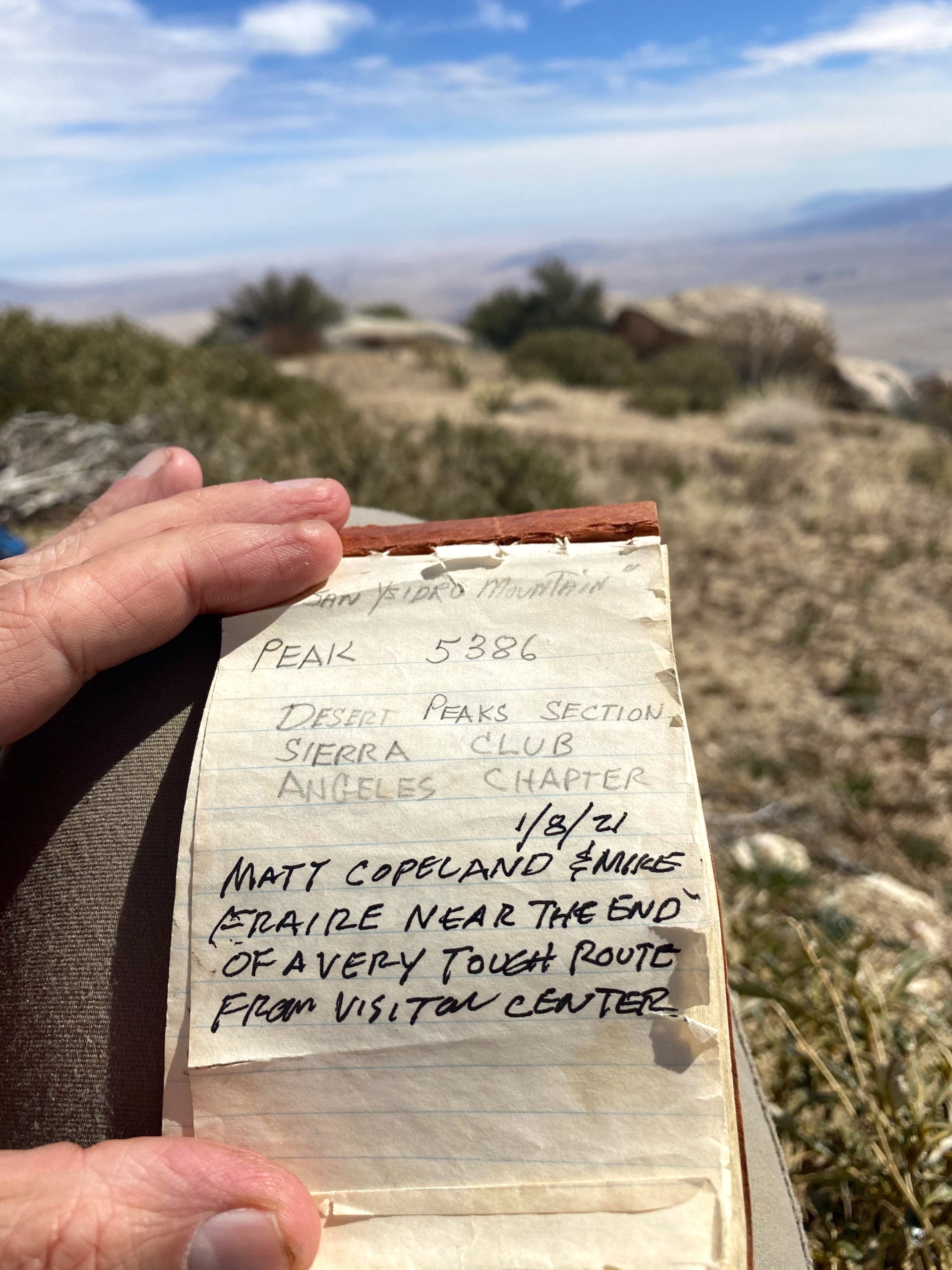
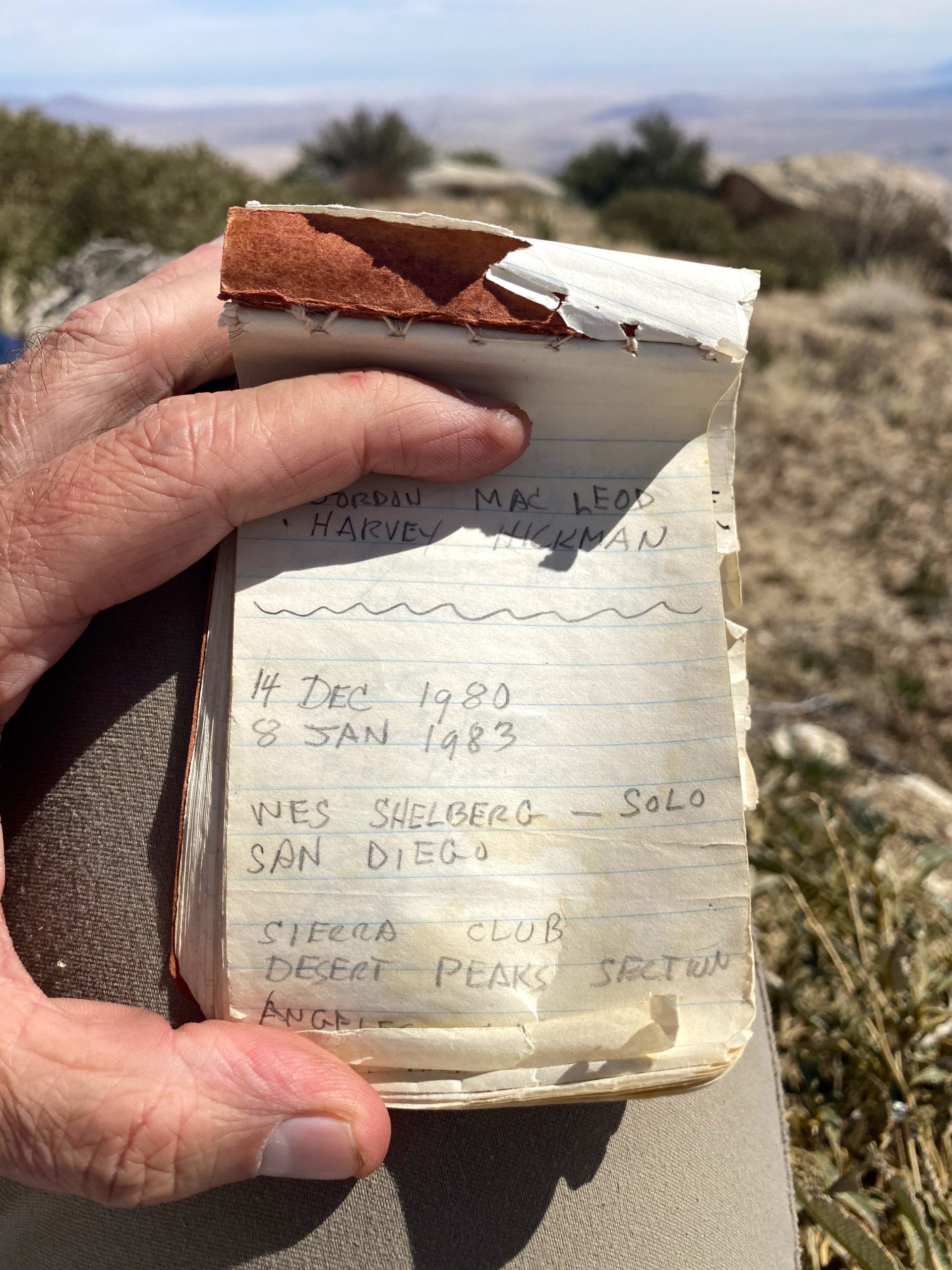
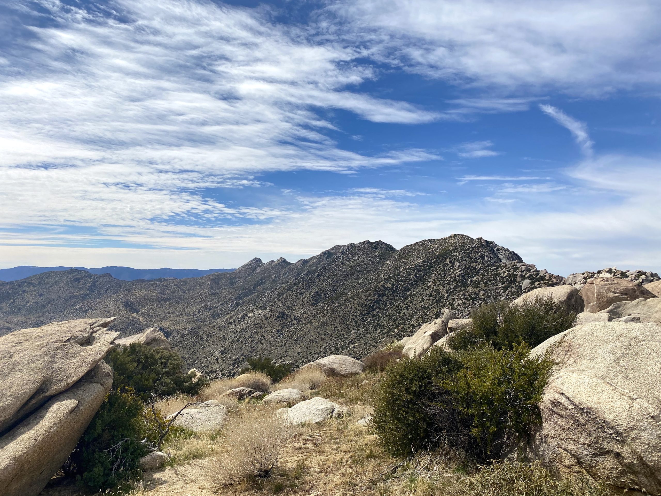
We drove back up toward Ranchita to the start of the hike. Initially, Alberto was supposed to meet us here to join us, as he had begun working on Sierra Club 100 list as well. Since he was not there, and I knew he had done Mile High the day before with Susie and Matt, we figured he bailed as well. It was a little chilly as we set up the usual route. Once at the turn-off from the road, we warmed up and shed a layer before heading toward the ridge to the south of the Thimble. We found a good spot to cross the barbed wire fence and began our short climb. Once on the ridge, we could see San Ysidro East Peak in the distance. We all had done this portion of the hike before, so we happily set off.
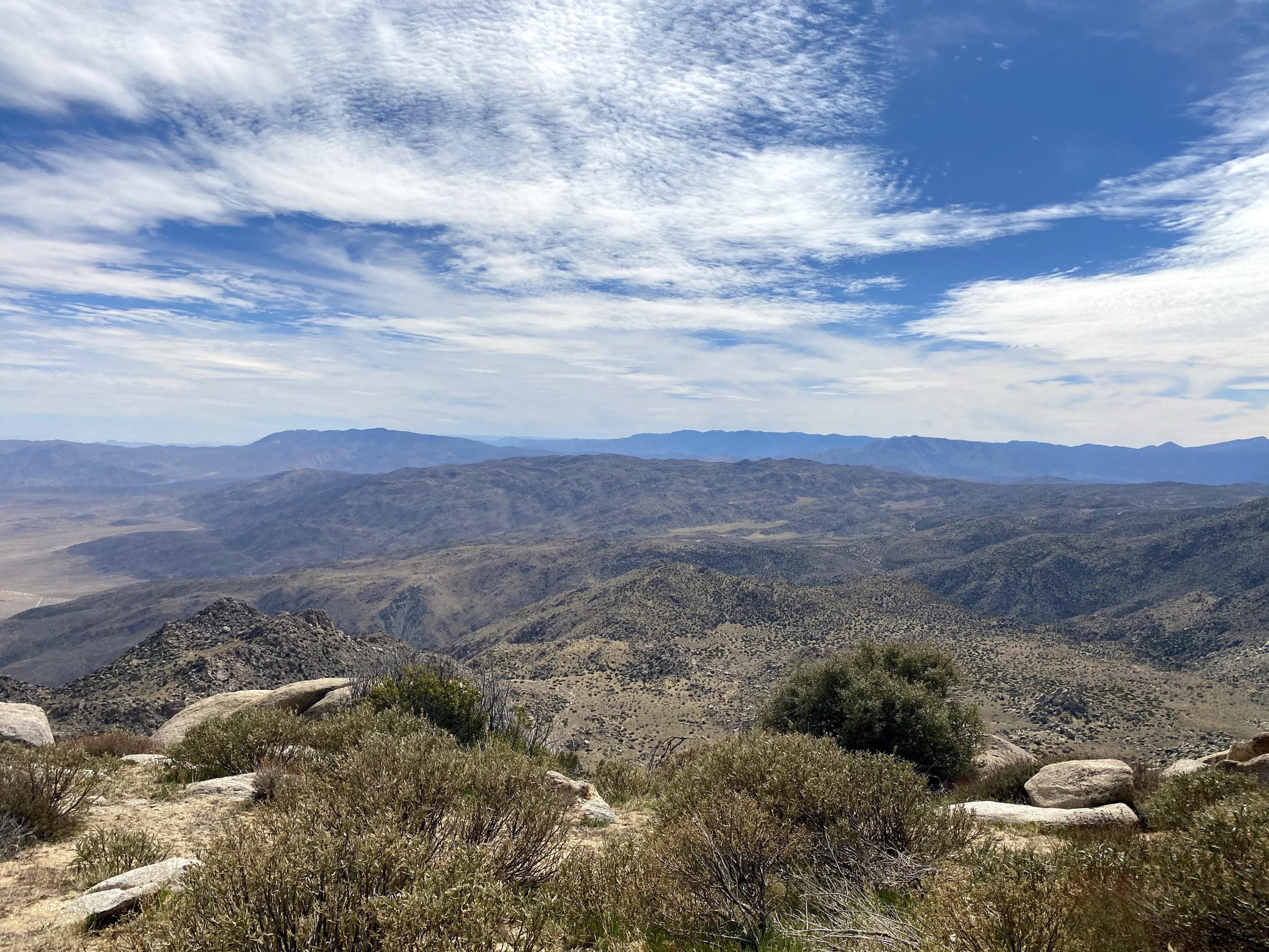
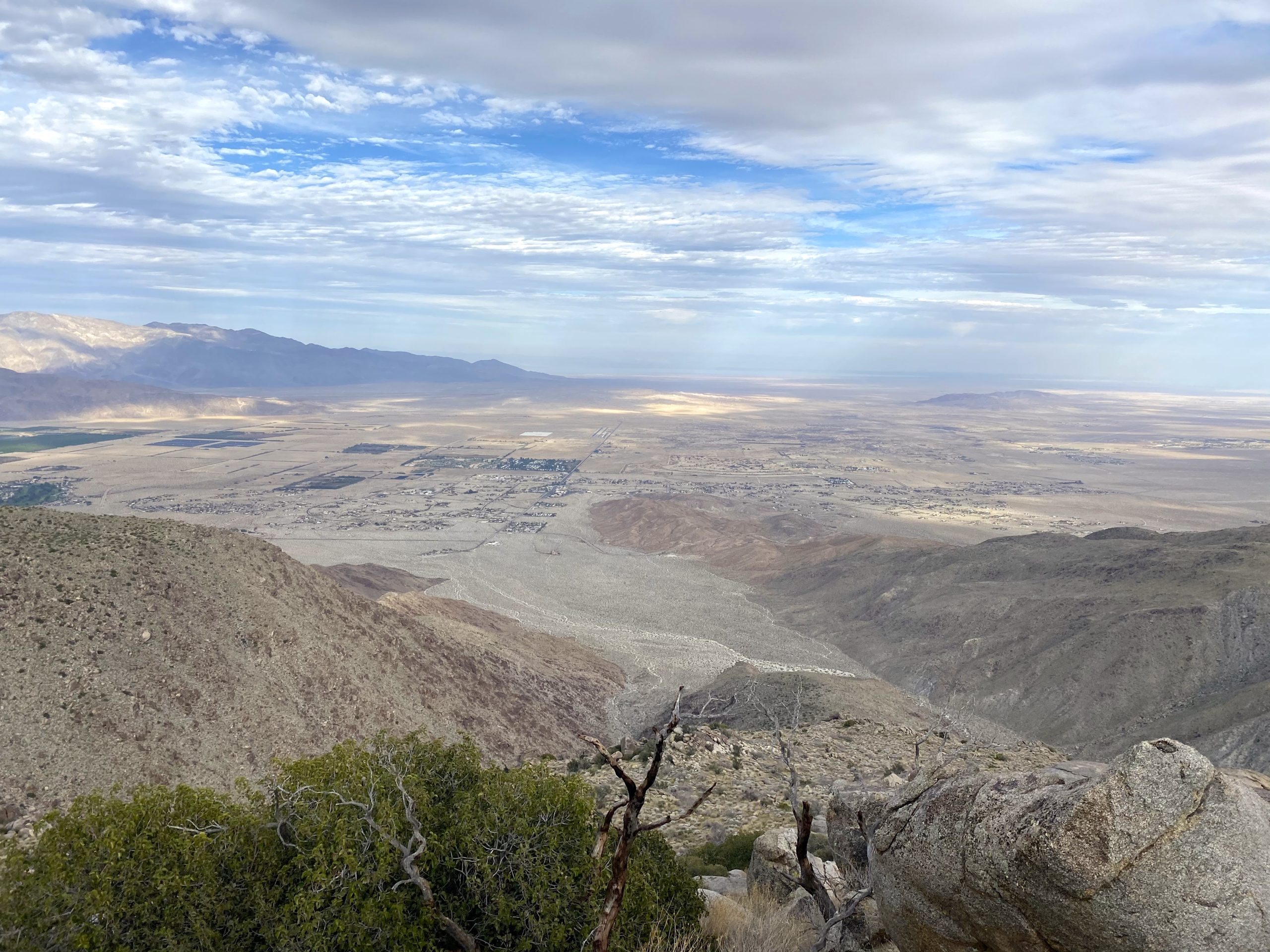
Since none of us needed to summit Goat Benchmark, we bypassed the side trip to it. We did stick to the south side of the gully to avoid the tough terrain Ted and I encountered during our trip in November. As we entered Hellhole Flat, we spotted 5 or 6 deer in the distance, Soon we found ourselves at the other edge of Hellhole Flat, and the start of the ascent to the peak. We took a nice break here before the 1,200 feet of climbing that stood before us. We worked our way up, taking a couple of small breaks to allow me to catch my breath. But soon, the summit came into view and a sense of happiness washed over me.
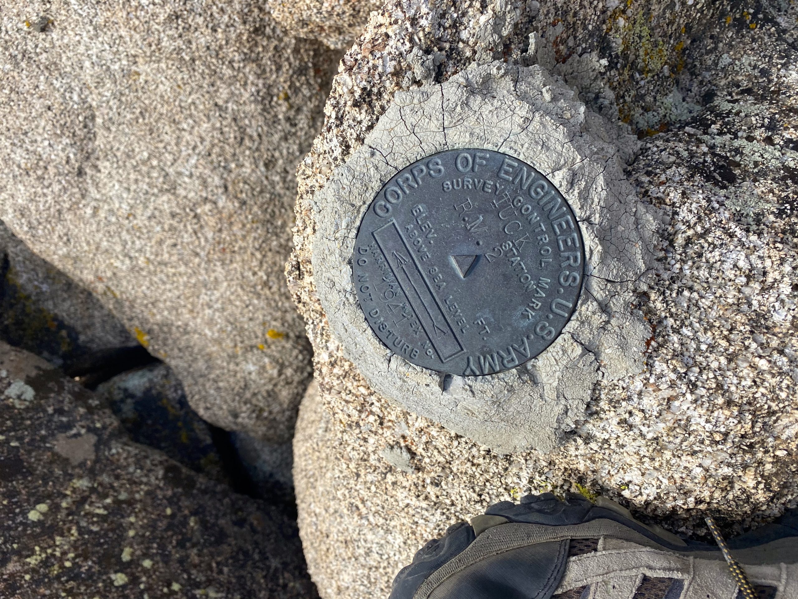
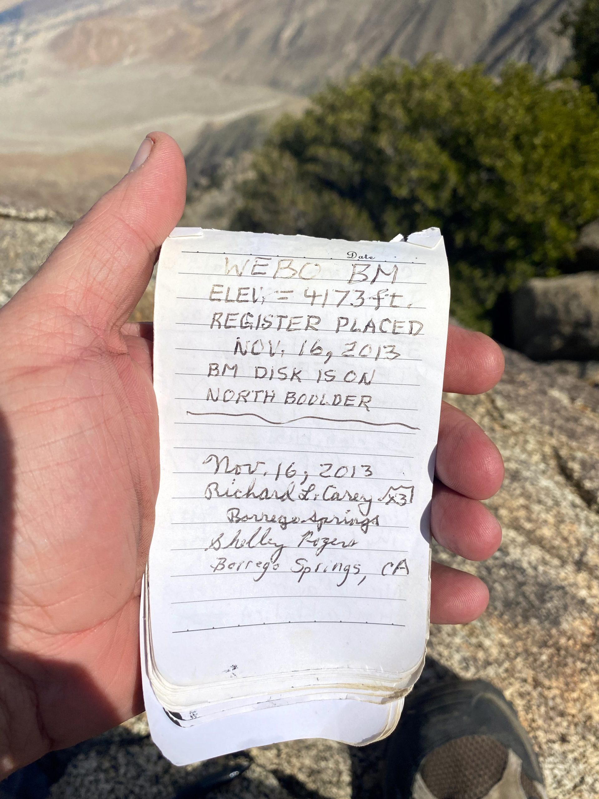
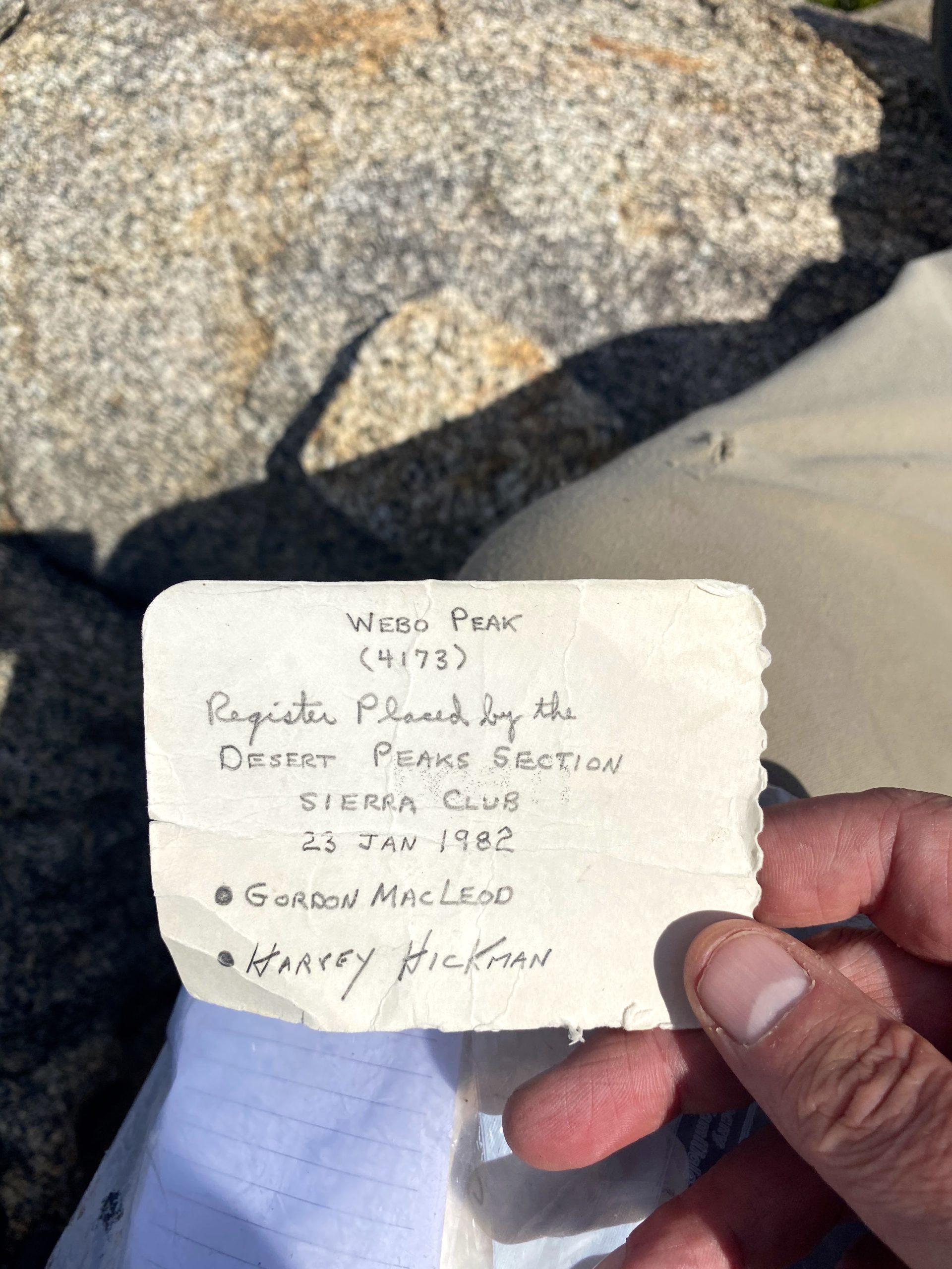
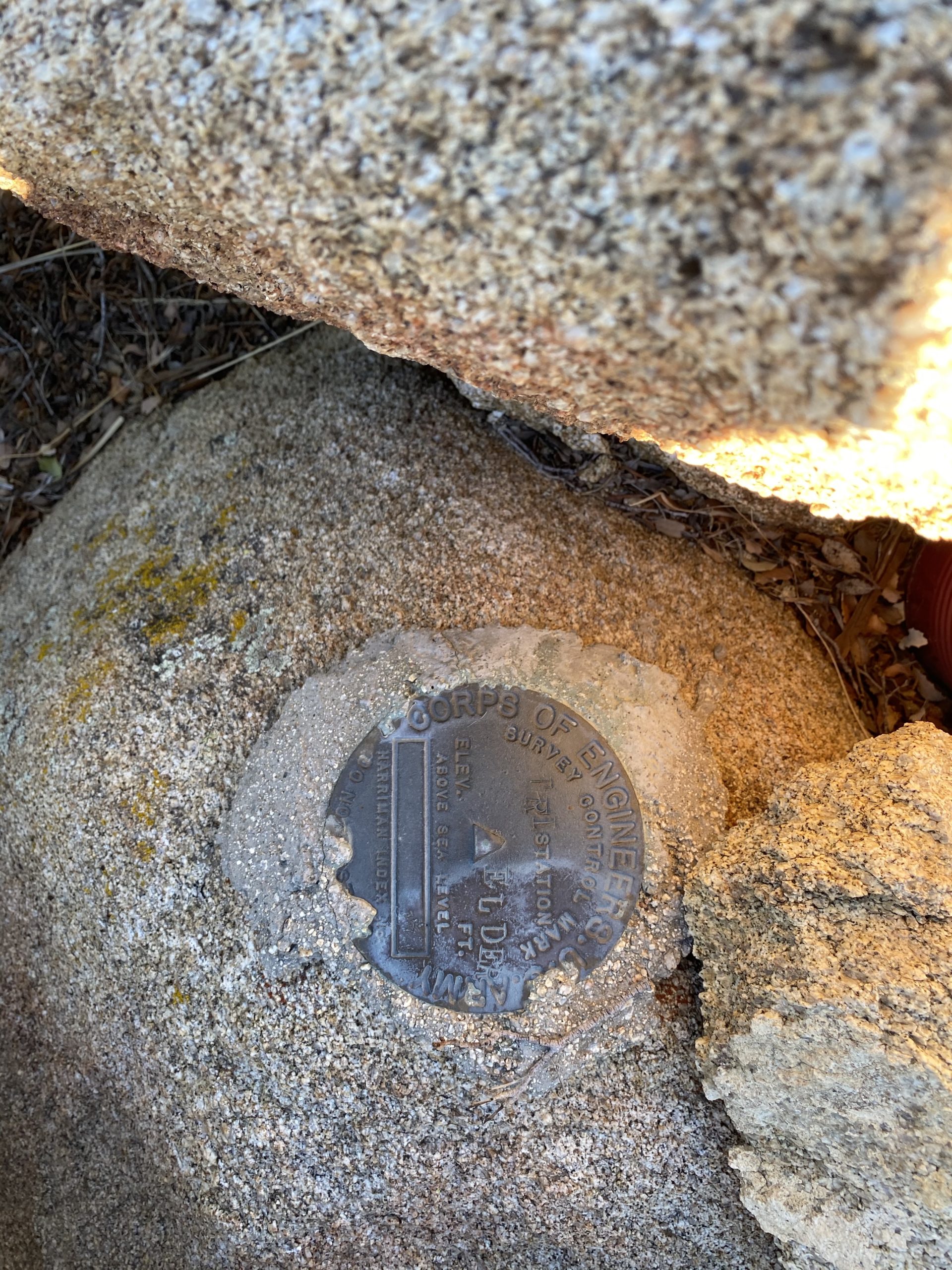
We had a nice break at the summit, signing the register, snapping our photos, and marveling at the views. We still had a lot of miles to cover and some serious elevation to descend to return to our waiting cars, though. While coming down from the peak, my right knee started to hurt, so I decided to not attempt The Sirens and rendezvous atop Webo. So I bid Greg and Ted good luck and scrambled back down onto Hellhole flat and headed south. My route was going to take me past Tuck Benchmark. This benchmark apparently is hard to locate, so I took up the challenge to see if I might have some luck. I knew from some reports that its location was slightly incorrect on Peakbagger and that it was located a bit to the east. Keeping my eye on my position, I knew I was close, so headed over to the nearby rocks, and climbed up a bit to see if I could spot it. Just 15 feet east of me, there it was! I snapped my photos, before continuing southward to Webo.
I could see Webo in the distance, but first I had a small ridge to cross. From the north, the slope was nice and grassy, but once at the top, I stared down at a steep rocky descent. Crud. I had to decide which way to deal with this ridge. I think either going all the way around it or the other gap to the west would be a better choice for future hikers.
Once over this obstacle, I debated my route up toward Webo. Initially, we discussed taking the ridge that came from the west, as it looked fairly gentle. As I drew nearer, just going up the side and then turning east once at the ridge seemed ok. Since Greg and Ted were somewhere behind me, I could climb this at my own pace, and I found it not too bad of a climb. As I got closer to the summit, it became more bouldery, but I found a route up without issue. I knew the benchmark was on a boulder on the north side of the peak, so I aimed for that. I climbed up the boulder and found the register and the mark. I kept scanning to the north to see if I might spot Greg and Ted, but no luck. I found a nice spot to wait for them. After about 40 minutes, I heard my name and greeted Ted and Greg. Greg climbed up the boulder and added their names. Ted respectfully declined. We still had about 3.5 miles to go and about 3,200 feet to descend.
My knee was starting to become more painful as we worked our way down the ridge. It was steep but manageable. Ted kept an eye on our altitude, as Susie and I missed Ted Benchmark during our descent (we did find it on our ascent). As we neared the elevation for the benchmark, Greg began scouring ahead to locate it. He found it without issue. I took a quick photo, and let them sign me in. I knew my knee was only going to slow my descent, and the evening was drawing close. I kept pushing down the ridge, hoping that once we reached the desert floor, the pain would not be an issue, as we would still have over a mile back to the car. We literally stepped off the ridge just as the last light of day faded away. We weren’t worried about the dark as we had a very well-defined and traveled trail to guide us back. Once back at the car, we tossed in our gear and said our goodbyes. Greg was camping out to hike Blue Angel Peak the next day and Ted and I began the long drive home.
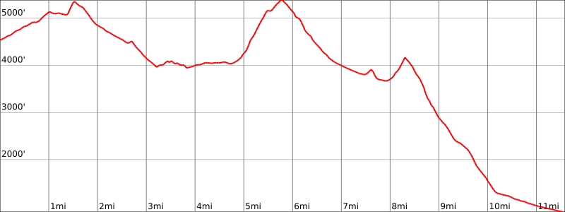
The final stats for my hike were 11.6 miles, with a mere 2,595 feet of gain and about 6,275 feet of loss. Here is a profile of my traverse.
This was my 98th peak. Since it looks like we might have some weather this week, I have a nice excuse to let my knee recover.
I am an avid peak bagger, sometimes backpacker, and former sea kayaker living in San Diego. In 2019, I became the third person to complete the San Diego 100 Peak Challenge. Not stopping with that accomplishment, I set my sights on the harder San Diego Sierra Club 100 Peak list, which I completed in 2021. In addition, I have conquered several Six-Pack of Peaks challenges (SoCal, San Diego, Central Coast, and Arizona-Winter). Beyond attempting the San Diego Sierra Club 100 Peak list a second time, I am looking forward to exploring new summits and new adventures across the southwest.
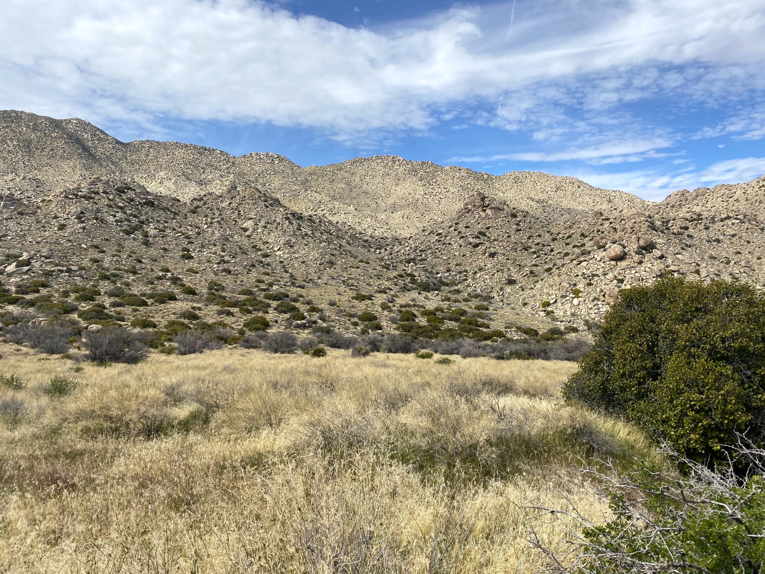
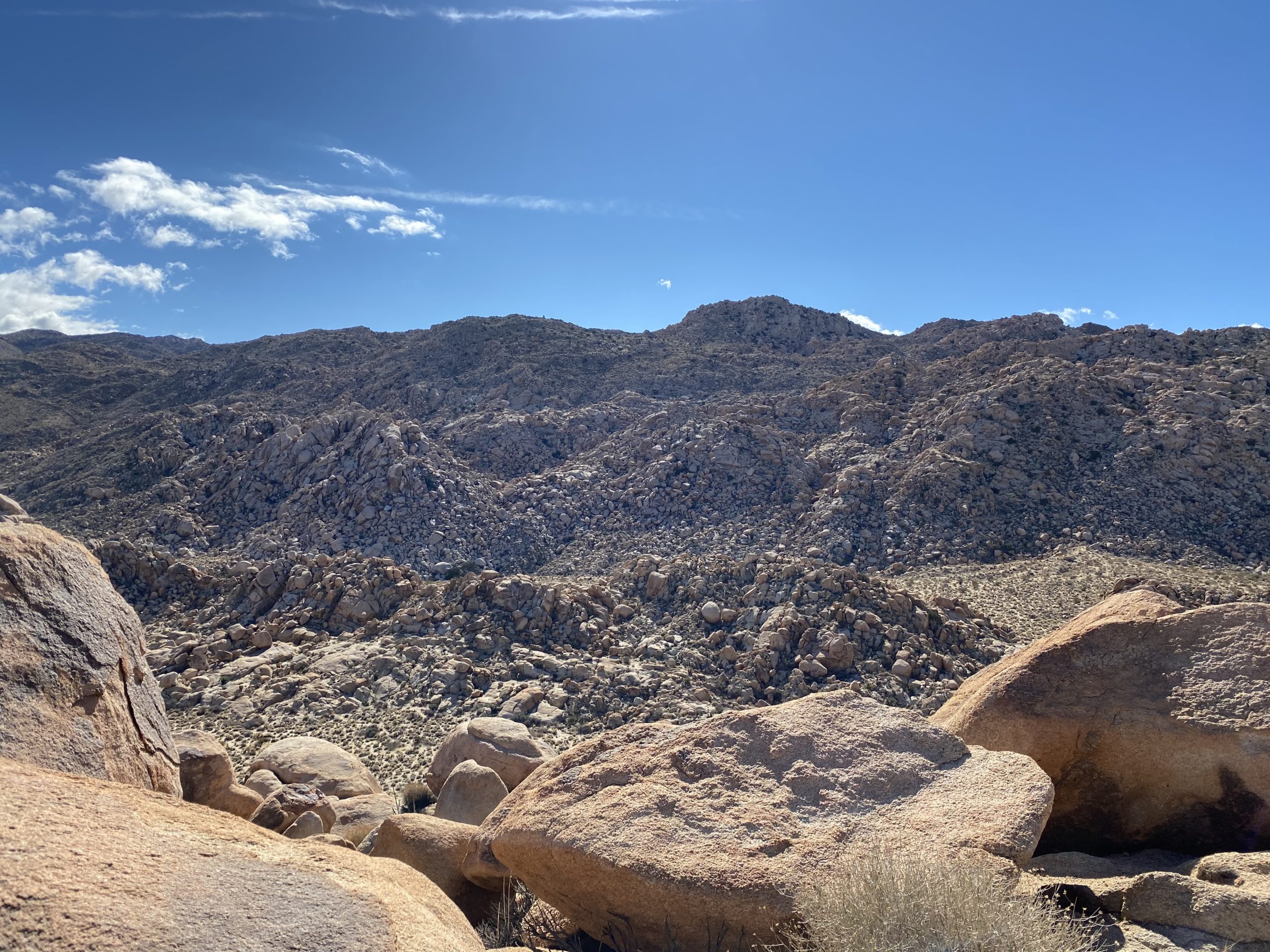
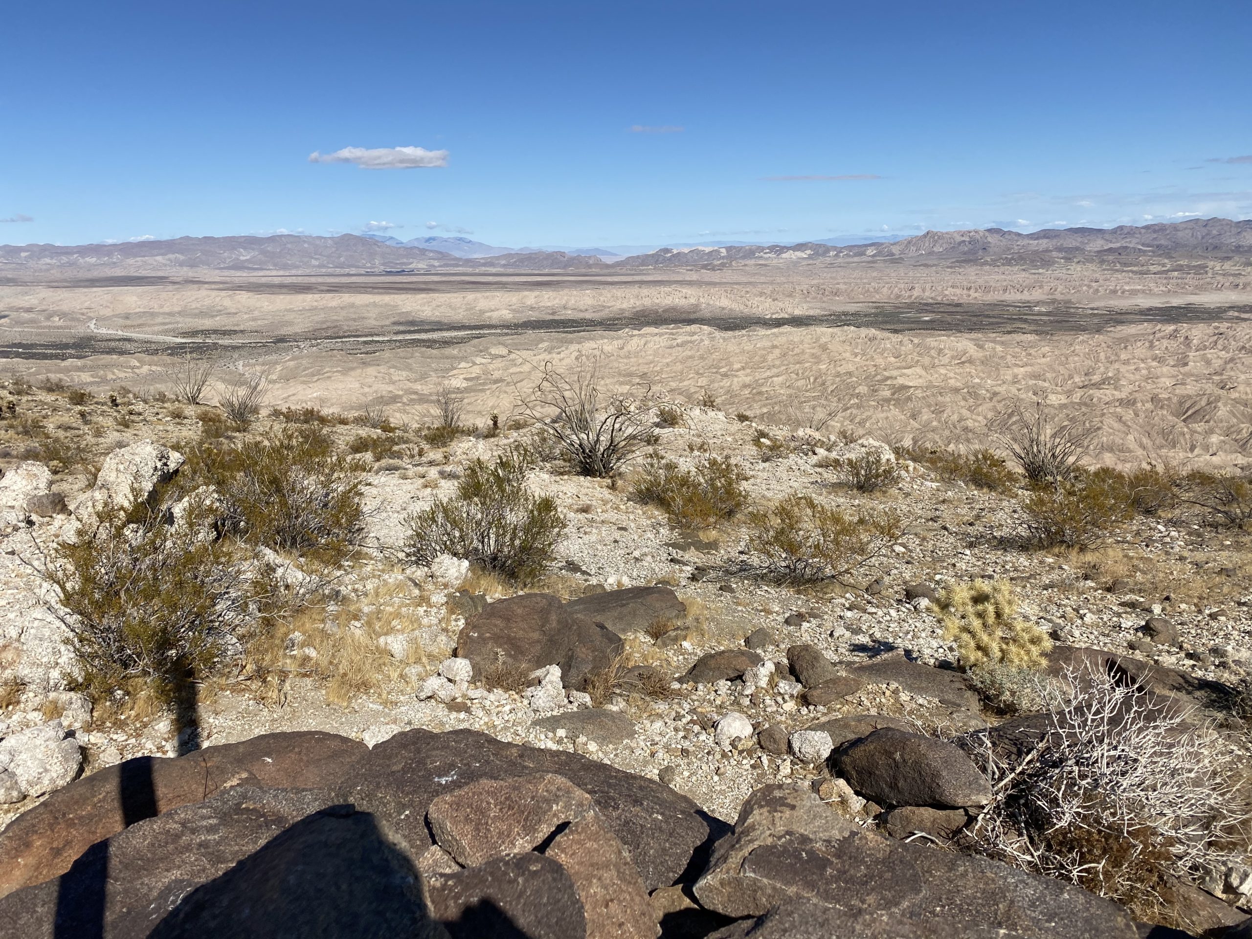
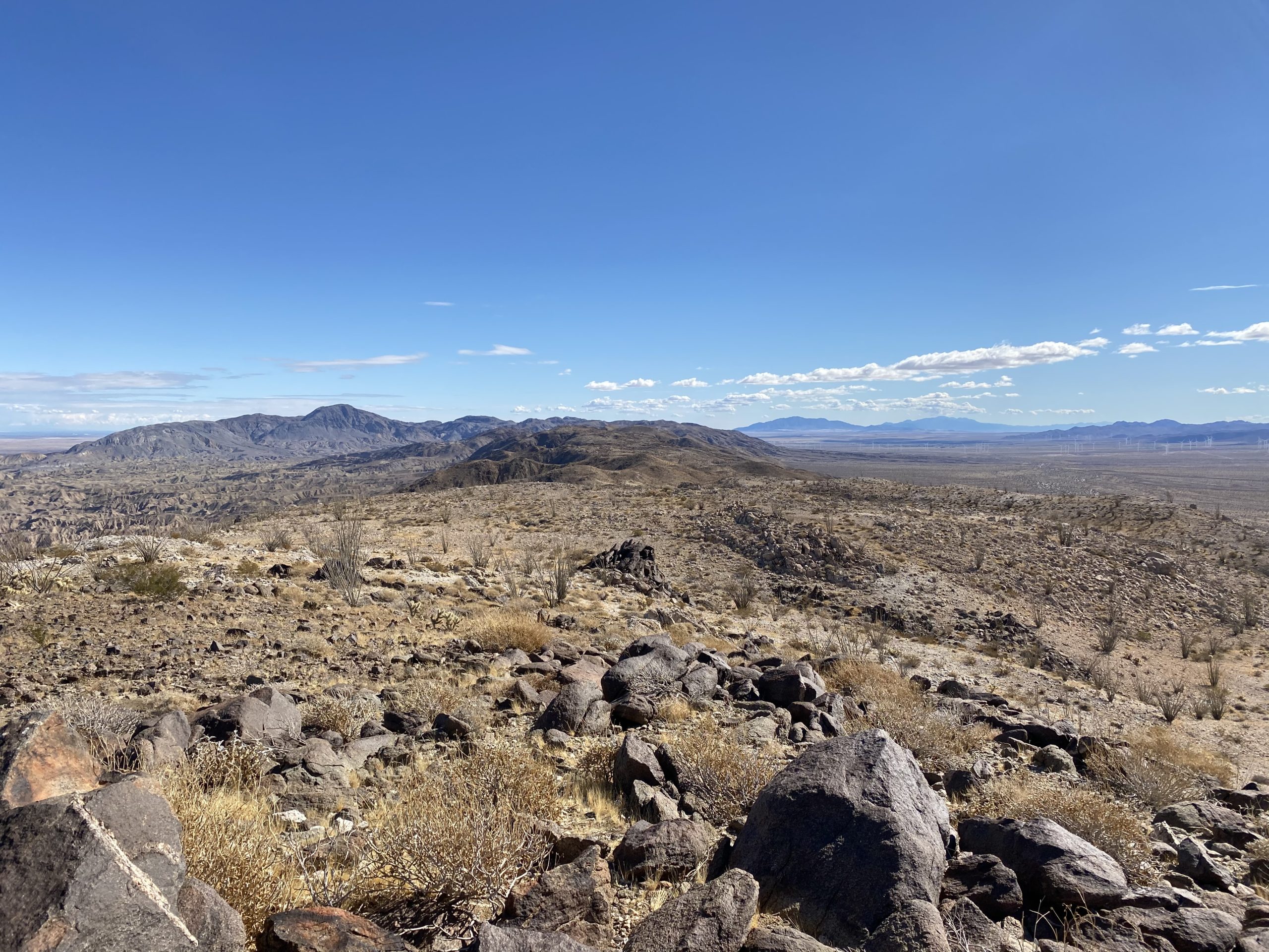
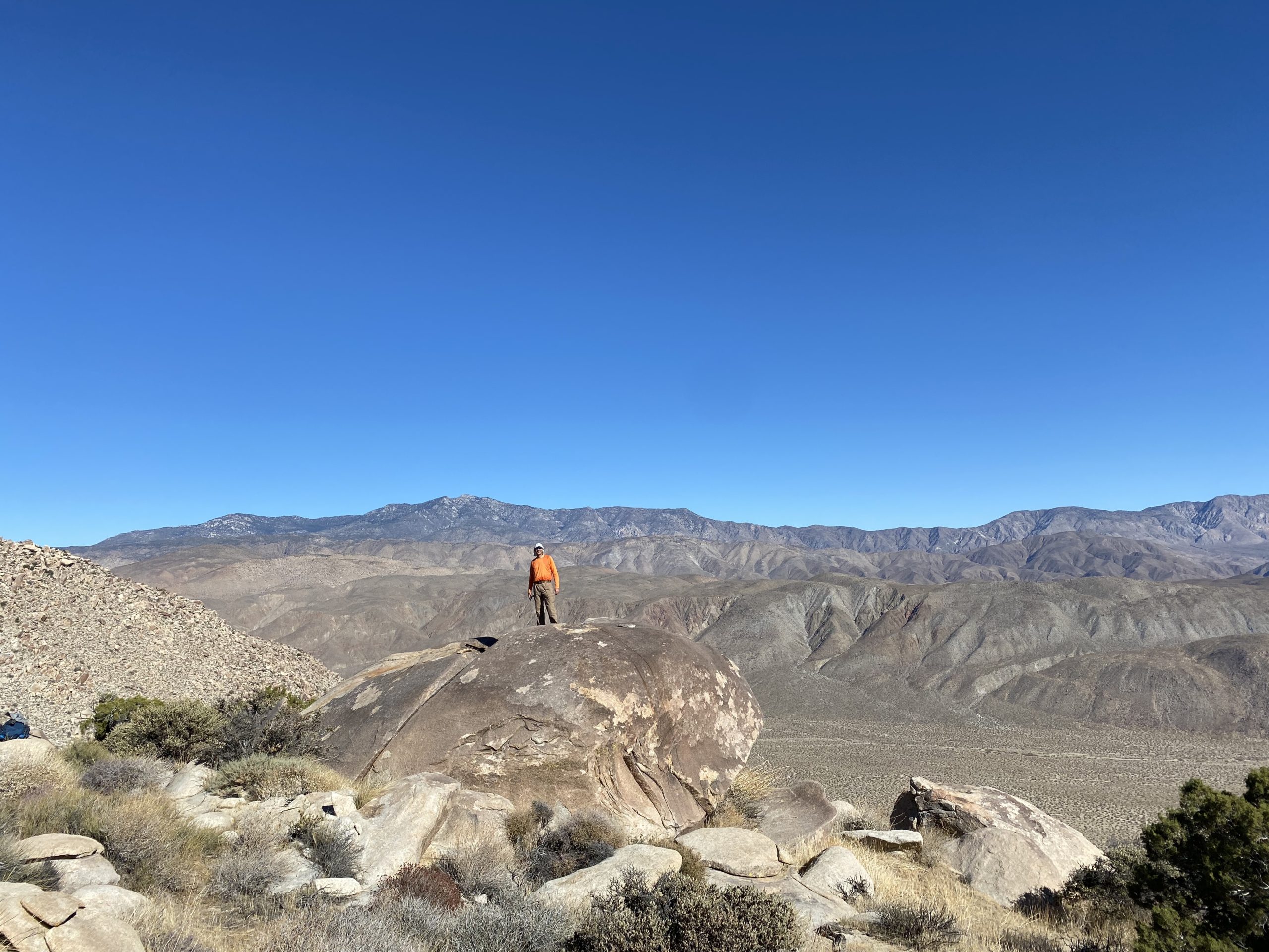
Whenever you talk to someone about the San Diego Sierra Club 100 Peak list, two peaks are always referenced as the hardest on the list – Red Top and Sawtooth Mountains High Point. In fact, my hiking buddy Matt Hannan referred to them as “Fun and Funner”. As I scoured over trip reports, reading of failed attempts to summit the pair, I knew that I truly had a mountain to climb. One of the challenges for these peaks is their remoteness compared to the rest of the peaks. While some might require some serious 4×4 driving to reach the trailhead, these peaks sit tucked within an area of Anza-Borrego known as the Inner Pasture. There are no accessible roads that can take you to the base of the mountain, so you are first going to have to hike in. There are three routes others have used in the past. One route begins in McCain Valley and descends down Pepperwood Canyon before reaching the Inner Pasture and the south face of the mountain. While the length of this route is not too bad, it does mean you have to climb back up the canyon after the summits. Another route climbers have used is to drive down Indian Gorge road, hike over a rocky pass, then onto the Inner Pasture. While this route does not have the big climb like the Pepperwood route, the crossing of the rocky pass twice (usually in the dark) is not fun either. The ascent up the peaks is usually the same south face as Pepperwood’s. The third option is to approach it from the north. This is an even longer route, but the hike to the base of the mountain is an easy one, through a nice canyon for about 3 miles, then across the flat Inner Pasture for another 3+ miles. Susie Kara and Matt Bennett had used this route last year with success. Now, a lot of climbers attempt these peaks as a long day hike, but some have started to treat them as an overnight trip. This was what Matt and Susie did, and I decided to follow their example for my attempt.
Sawtooth HP and Red Top from near False Sombrero
In addition to choosing a route, there is a very limited window in which you can try to summit these peaks. You need enough daylight to safely climb them, and also since they are relatively low, the desert heat becomes a factor as well. Mid to late February is usually the best choice. So, we began targeting the weekend of the 19th through the 21st for our attempt. My usual hiking companion Ted Markus was up for the challenge, as well as Susie and Matt. In addition, Greg Gerlach was up for trying this route as well. He had done these peaks three times before, once via Pepperwood and twice via Indian Gorge. He was curious to see if it was ‘easier’ with the third route. He also agreed to spend a second night and camp with us. We had a rock star team assembled, and I could not have asked for a better group of climbers to go with.
Since Ted and I were camping for two nights, we needed a bit more water than the 7 liters Susie and Matt used for the first trip. Rather than carry all that weight out at once, the previous weekend Ted and I made the 14-mile round trip hike to our planned campsite and cached about 10 liters between us. This also gave us an opportunity to see the start of the climb up close, as well as the crossing of the Inner Pasture. I was familiar with the canyon section, as it is the same route one uses to climb Stage Benchmark.
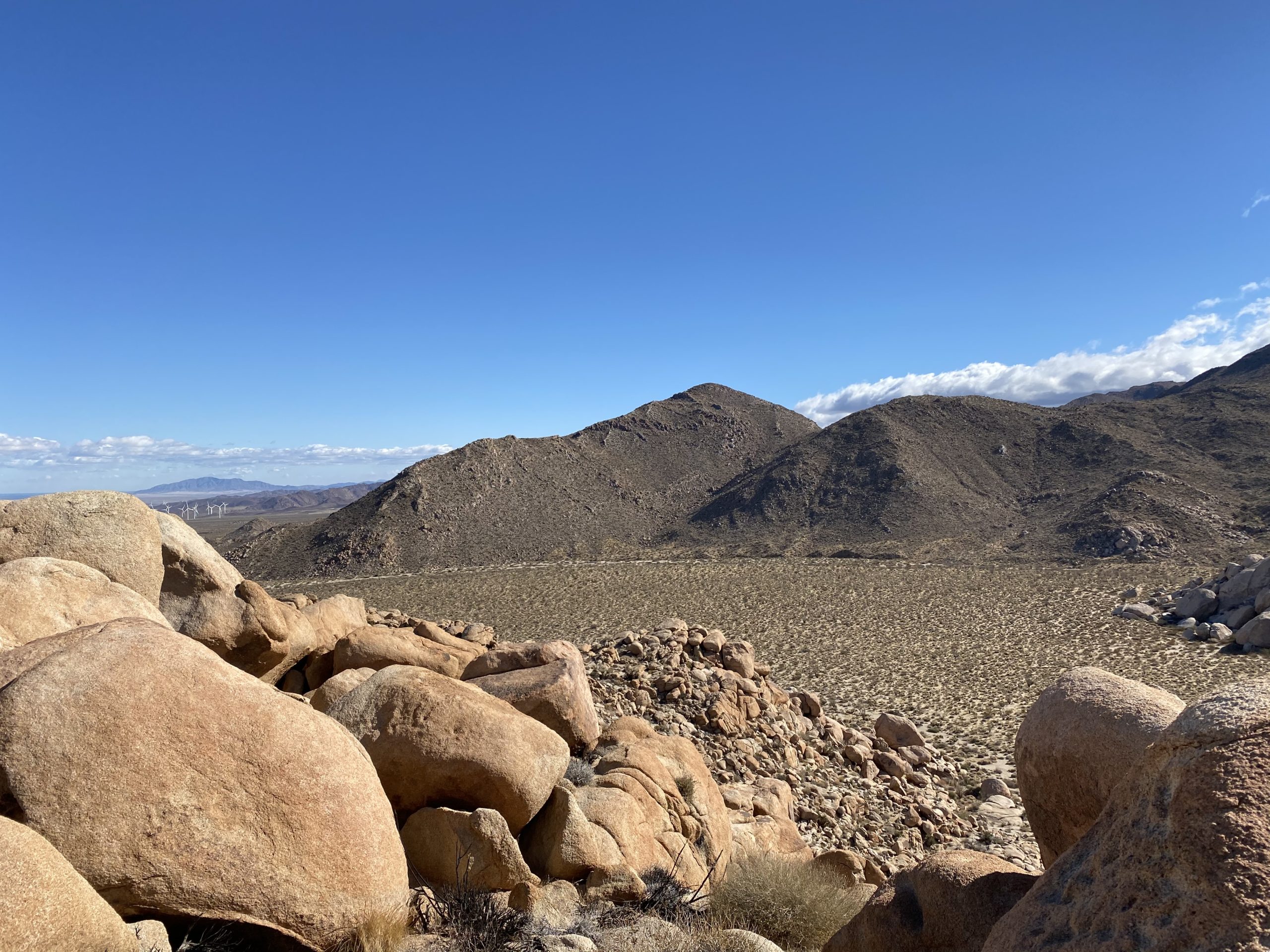
Red Top in the distance
We met Greg at the small turnout that we would use near the entrance to the unnamed canyon. We hoisted our packs onto our backs and set off. Ted certainly won the award for the biggest pack load. Although I had 4 liters cached, I still carried out almost 5 more liters. Matt and Susie were planning to join us later in the day. We wanted to take the hike out nice and slow – no need to race to the campsite. Since I am not an experienced backpacker, I did want to give myself enough time to set up camp in daylight.
The miles ticked off fairly quickly, with Ted & I stopping twice for a quick break. We wound up heading basically straight for the entrance to the drainage where we would camp. Not really a problem, but we had hoped to use the wash that we followed out the previous weekend. Oh well. Regardless, we still made the nearly 7 miles in 3:15 with fully loaded packs.
Once at the campsite, we dropped our packs and went off to recover our caches. There was a little bit of me hoping they were gone and I would not have to climb these monsters. But the bottles of water were safely recovered. No excuses now…
We set up our tents, keeping ourselves safely apart. Plus, no one needs to hear me snore. Matt and Susie came just as the sun was dipping below the ridgeline. We all chatted for a while, made our dinners, and agreed on waking up around 5:30 to set off by 6:30. As I lay in my tent, I went over the route in my head, recalling the satellite imagery to help as landmarks. While I knew Matt would be our guide for this hike, I still needed to take responsibility for my own safety if I needed to navigate for whatever reason.
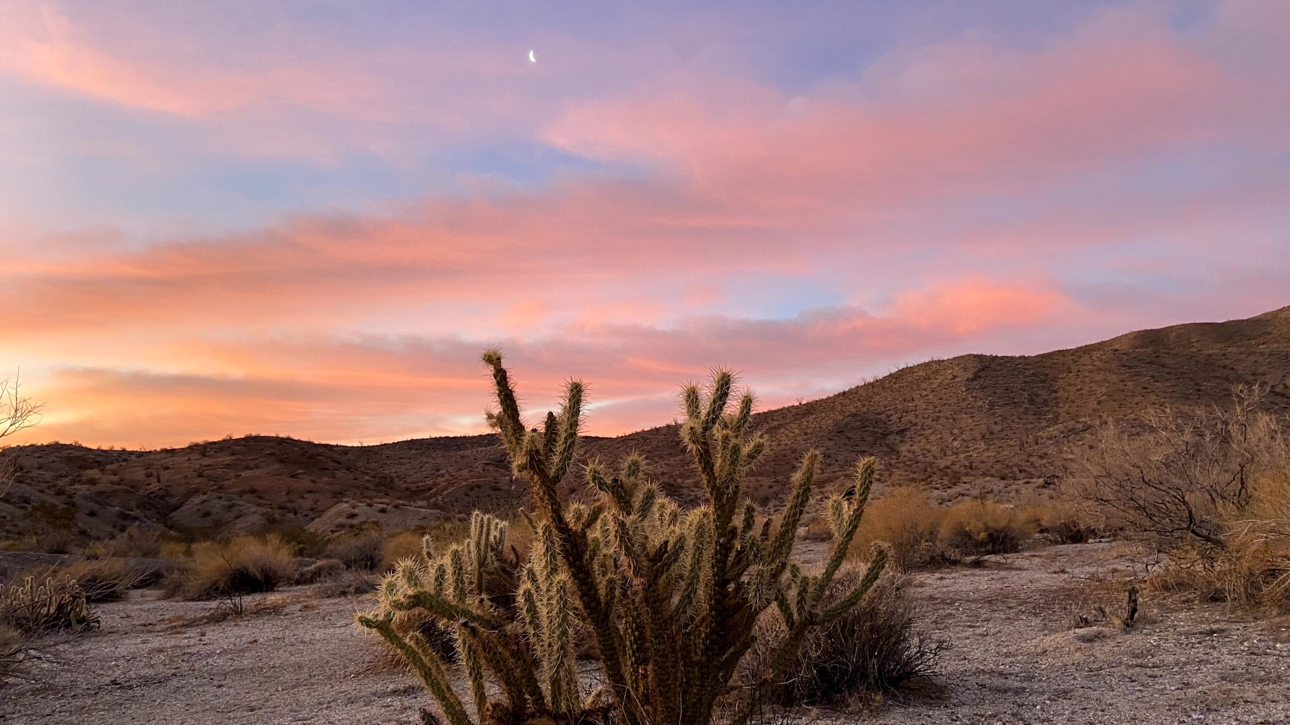
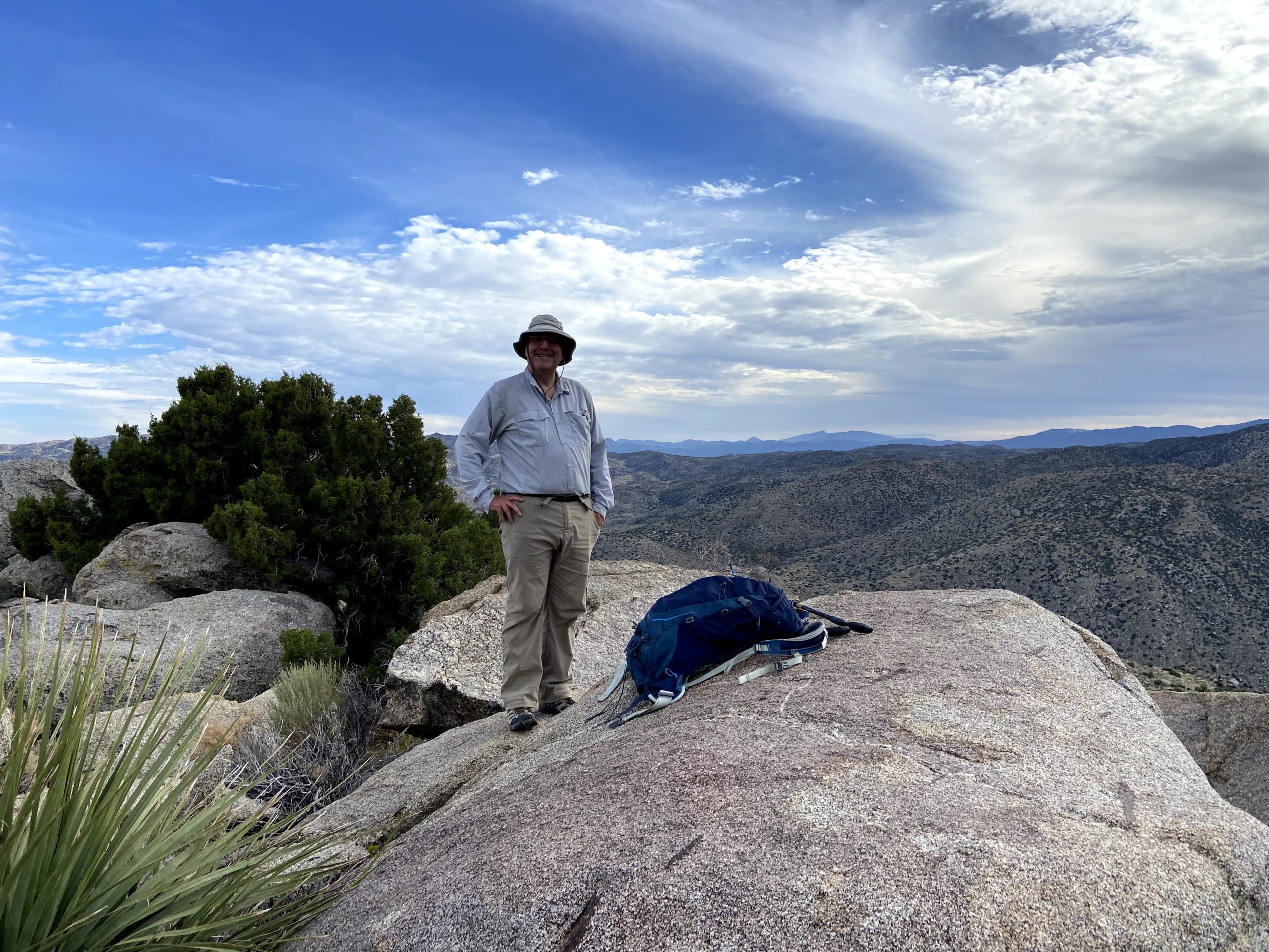
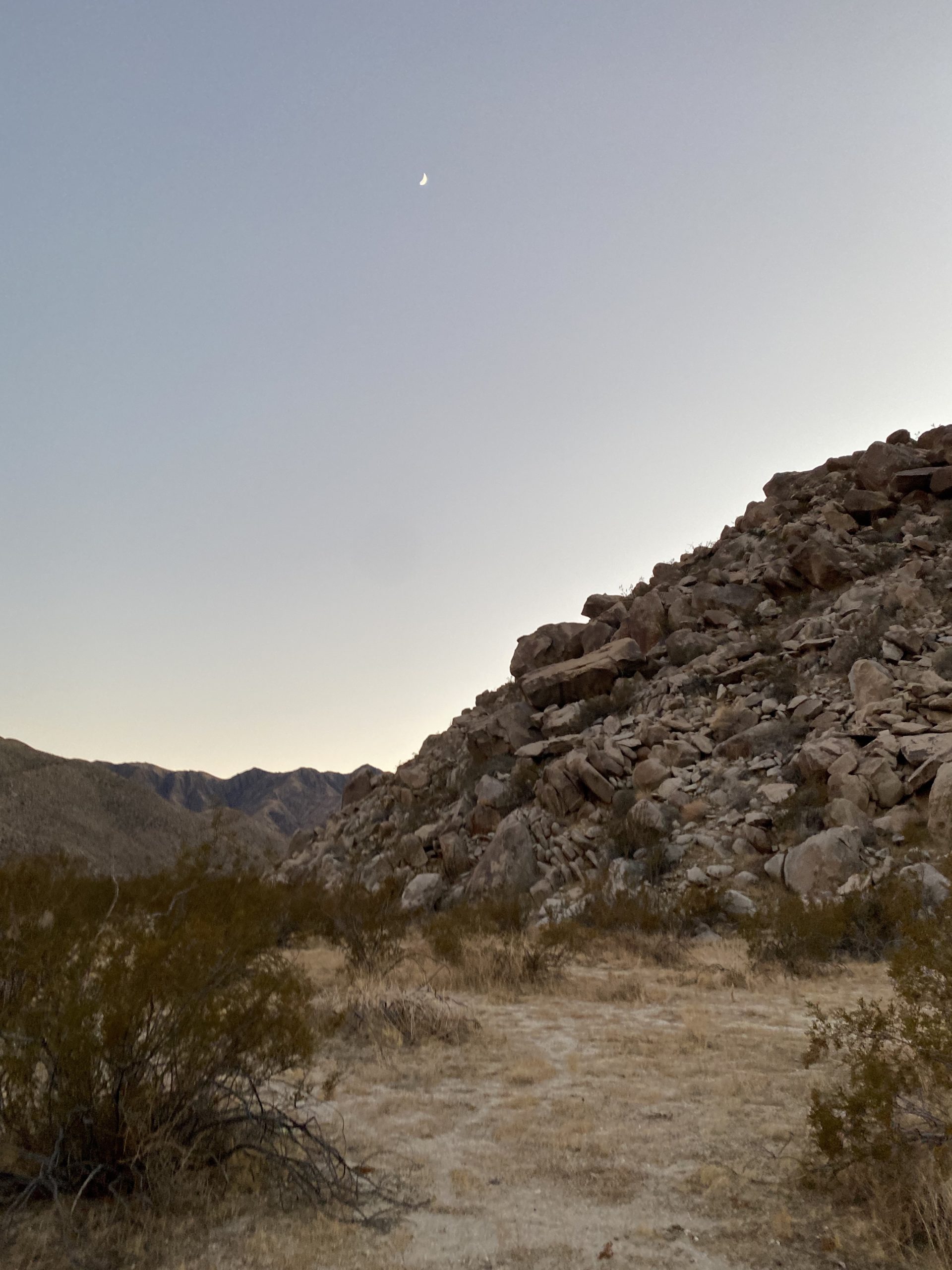
A quarter moon lit up the night sky as I lay in my tent trying to fall asleep. My mind kept going over the challenge of tomorrow’s hike. Sleep did come, although fitfully. I woke to the predawn glow and quickly boiled some water for a hot cup of coffee. I had packed my slackpack the night before, so I was basically ready to go. We all were soon up and getting ready for a long day. We could see the sunlight begin to illuminate the summit of Red Top. To the north, the sun’s rays cast a golden glow across the Inner Pasture as I ate my breakfast.
The plan was to ascend up the drainage to the saddle between Red Top and Sawtooth, climb Red Top, which is usually considered the harder of the two, return back to the saddle and climb up Sawtooth, then return back down to the saddle and follow the drainage back to camp. I put all my remaining gear in the tent for safety and to give it some extra weight as the forecast had some winds predicted. The temperature was forecast to be in the low 60s, so I dressed fairly light. I had on one extra top layer, as we would be in the shade of the drainage for a while and it was in the mid-40s when we set off. That is another reason this route has some appeal – the fact you will be in the shade for some time while hiking.
With Matt in the lead, we set off up the drainage toward the saddle. Our route was a mixture of sand, rocks, brush, and cacti, and it took some effort and looking ahead at the route to find the easiest path. After about an hour, we took a short break and shed a layer.
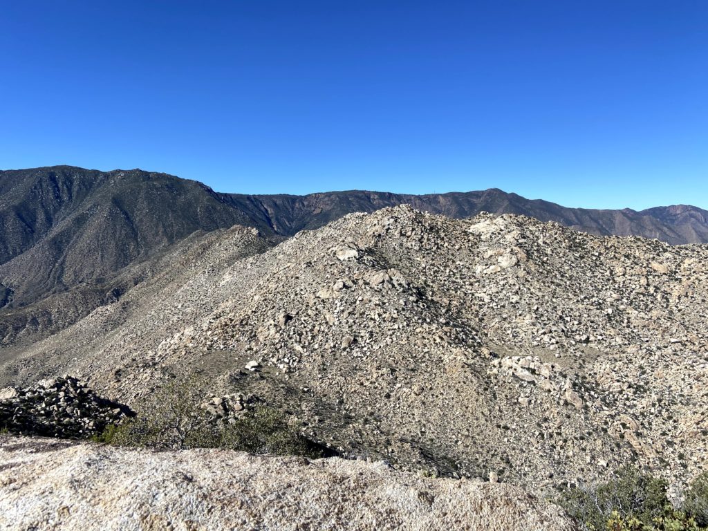
Soon, the summit of Sawtooth also came into view to the south as we drew nearer to the saddle. It was clear to see why these peaks are so difficult – their slopes are nothing but a jumble of boulders and brush. There is no easy ridge line to follow, just a combination of your route-finding skill and a dash of luck.
Once at the saddle, we took an extended break. It had taken us just slightly over 2 hours to cover the 1.8 miles with about 1,200 feet of gain. We cached some water for later under the shade of a large boulder, as there was no sense in hauling it up and down Red Top.
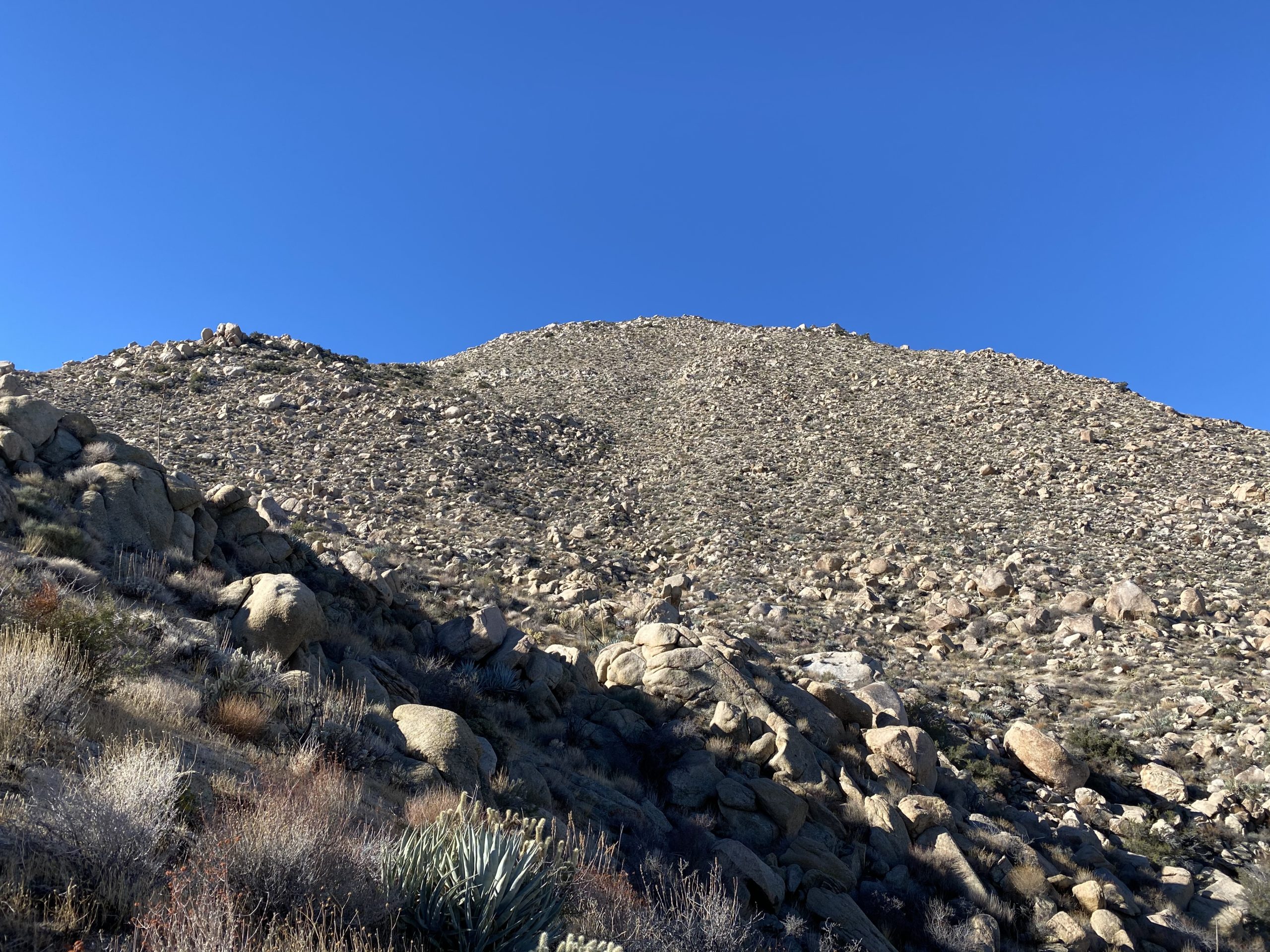
We could see the summit from the saddle and I put my trust in Matt to find a way through what seemed an impossible climb. About halfway up, we reached a small plateau, which let us have a short breather, as the next section increased in difficulty. We stored our trekking poles, as the climb now required the use of our hands. As we worked our way up, the views to the southeast were spectacular. Finally, after an hour and a half to cover the ¾ of a mile with over 800 feet of gain, we were at the summit of Red Top.
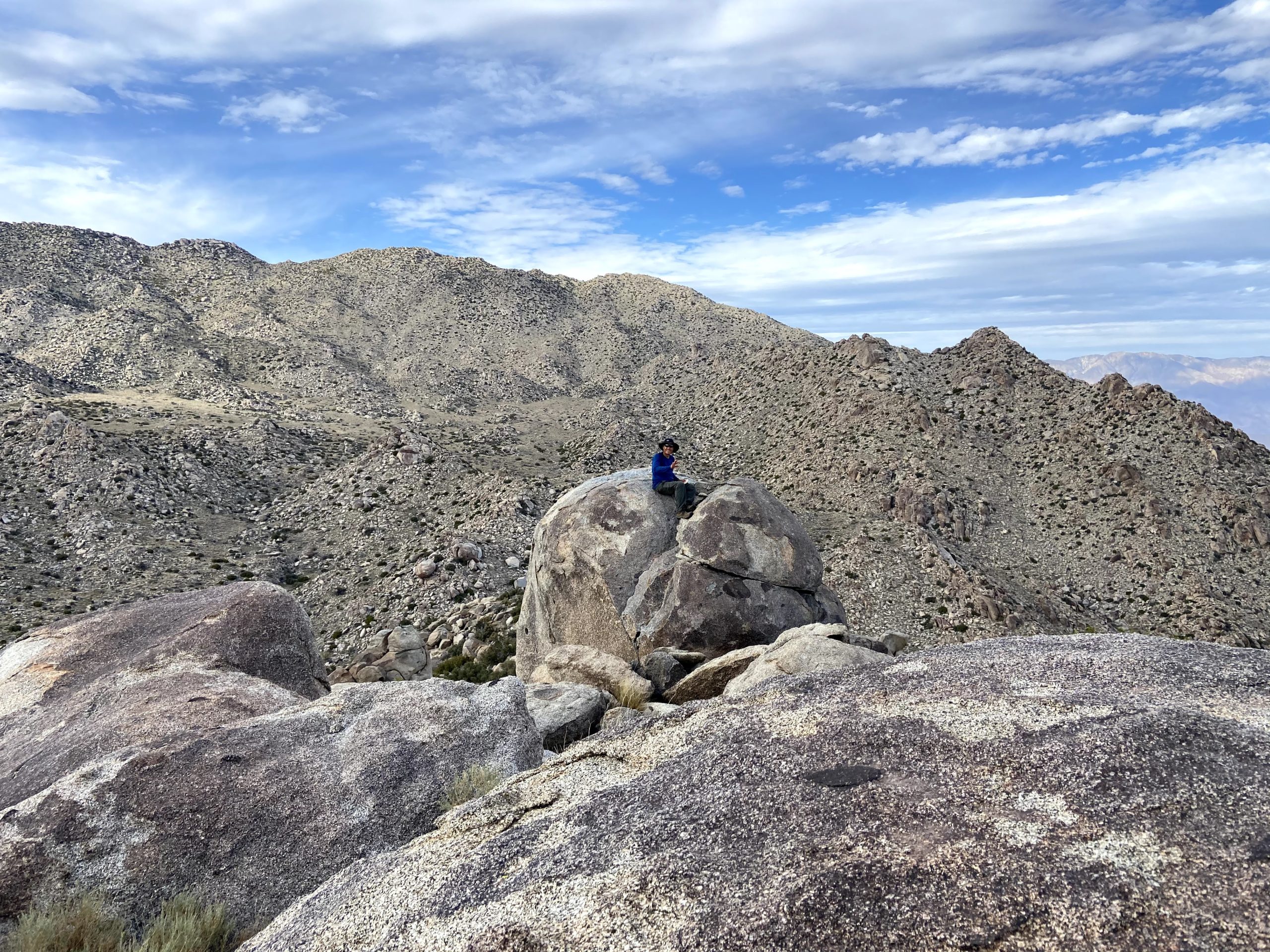
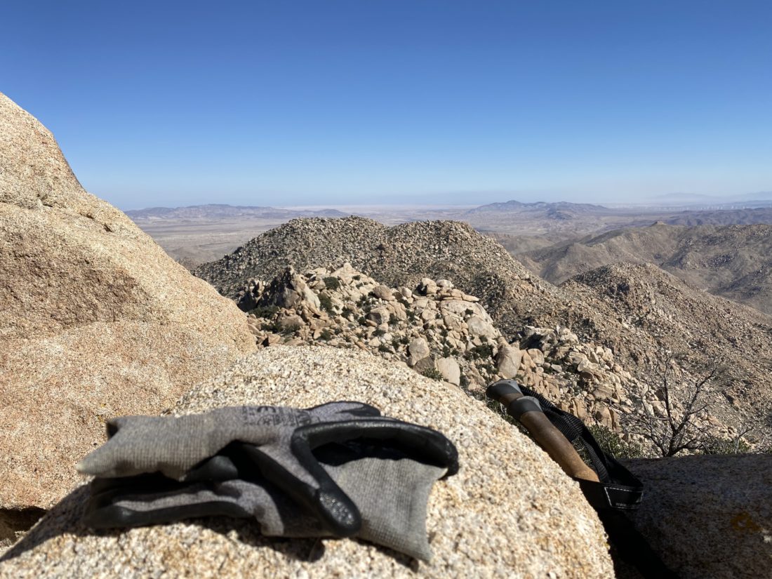
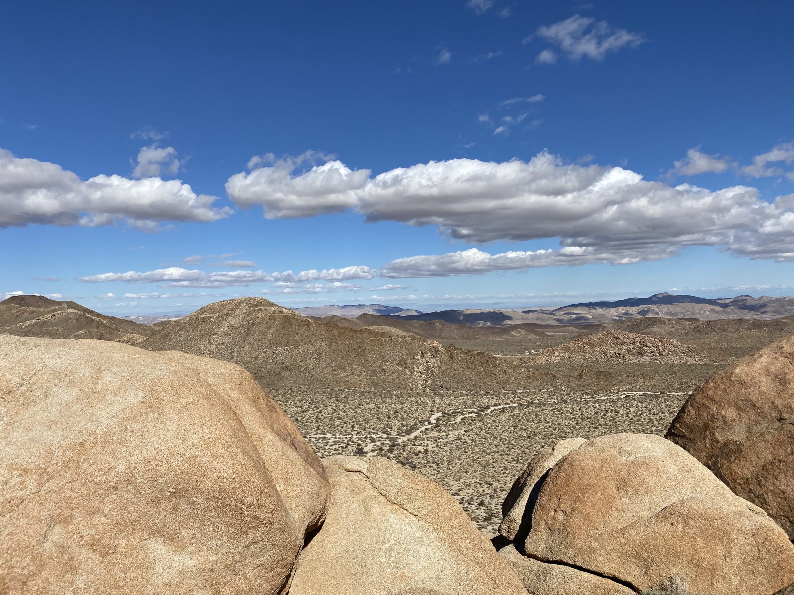
We mostly hung out in the cave at the summit, enjoying some snacks, signing the register, etc. This was Greg’s fourth time on Red Top, he commented that was the easiest route he had ever had up from the saddle. We still had a long day ahead of us, however. At the summit, I discovered that I had lost one of my trekking poles during the ascent. They had gotten snagged on some brush at one point and it must have pulled the pole out of my pack. Crud! Hopefully, we would be able to retrace our route and find it, otherwise, I would have issues. I had also noticed the possible formation of a blister on the tip of one of my toes. Yup, a blister had formed. I took care of it, hoping it would not impede me. From the summit, we could see our next peak. There is just over a mile between the two summits, but it would take us almost three hours to cover it (including another break back at the saddle). That should give you an idea of the difficulty of these peaks.
Sawtooth HP from Red Top
We set back down toward the saddle, and sure enough, Matt spotted my missing pole. That tree must be related to Charlie Brown’s Kite Eating Tree! I was glad to have it back. My usual hiking pack has straps for my trekking poles so they would have been secured, but alas this pack does not. Something to address the next time I use that pack.
The breeze had started to pick up, which was fine, as we would no longer have any shade for a while. We gathered our cached fluids, had a nice snack, and reviewed the basic route that we were going to take up toward Sawtooth. Unlike Red Top, which is basically a direct approach, Sawtooth requires bypassing a peaklet. On the ascent, we stayed on the south side of it. This certainly took some care to navigate through the boulders. In addition, portions of this climb are sandy, but not like you would know by looking. If you have ever climbed up a steep sandy slope you will know that it is hard and draining. I started to feel my energy dropping as I made my way slowly up. Matt scampered back down to me and offered to carry some of my pack items to lighten the load. It wasn’t much, but enough to help me along.
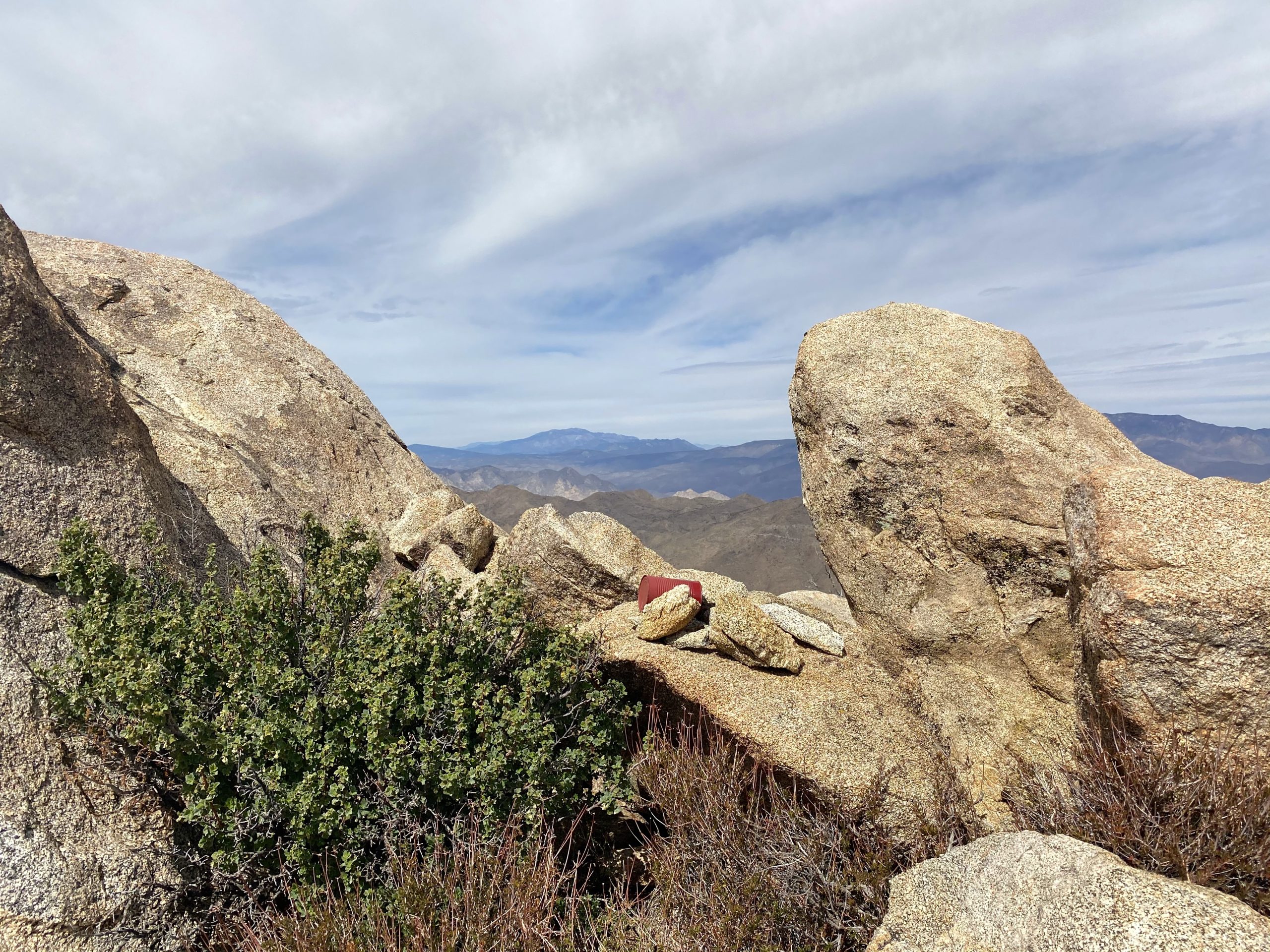
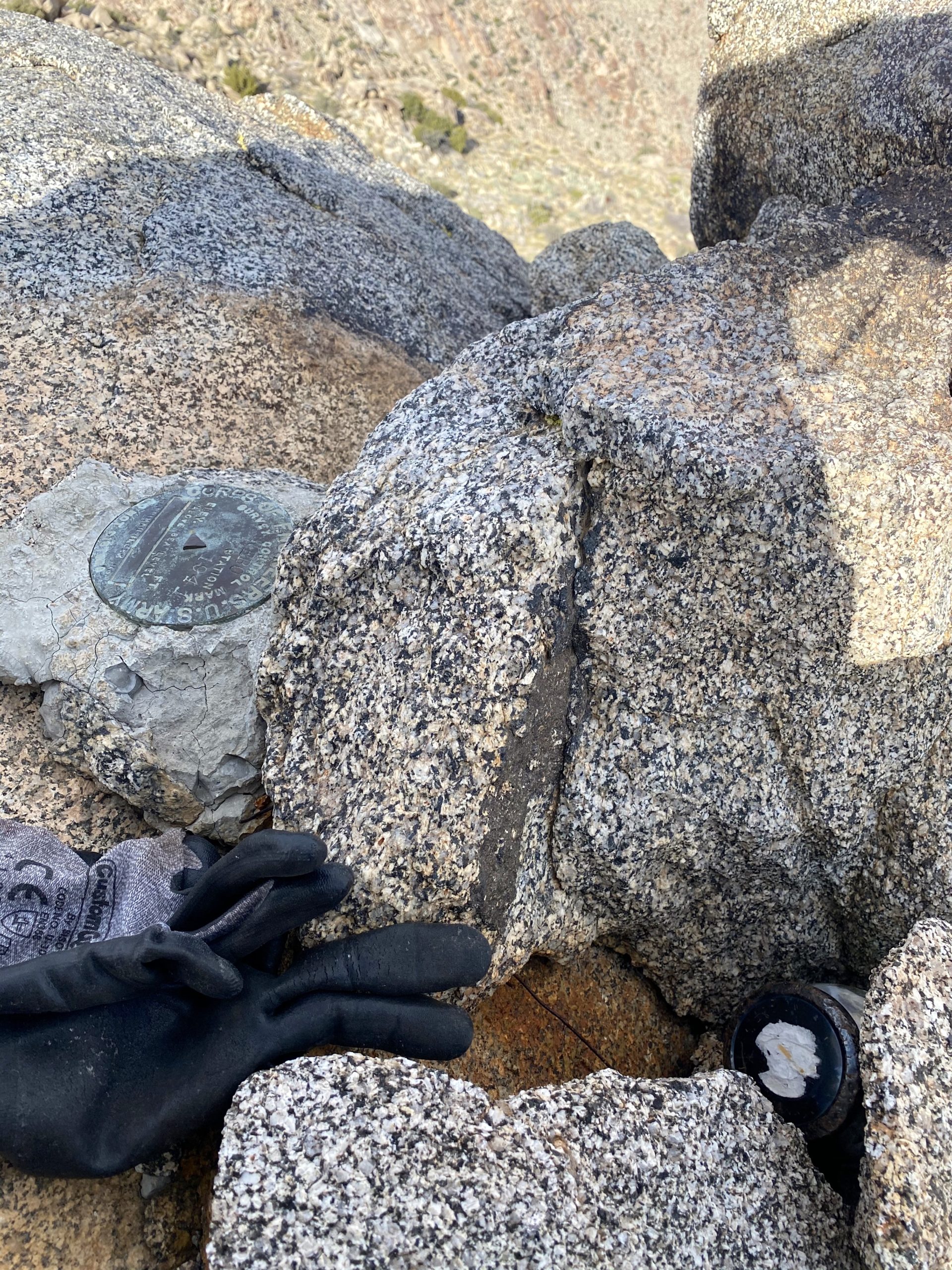
I would look at the map on my phone, and see that we were closing in on the summit. I could almost taste it. When I arranged this attempt, I let the group know that if I ran into issues or was too slow, I would abandon trying for Sawtooth. Now, though, the summit was just a few hundred feet away. We came up the south side, and just as we did the winds began to roar. Those 40 mph gusts that were predicted came true. Carefully crossing an exposed section, Ted and I sat atop the south side of Sawtooth. I was in a bit of a daze. I had done it! The reality didn’t hit me until the next day, and in part, I knew that right now, I still needed to get down from the peak. We had a snack and I proudly signed the register. Since we had cell service, I texted my family the good news. Once we had recovered a bit, we clambered over some more exposed boulders to the northern side of the summit. Susie had kindly signed us in on the register located there, as neither of us wanted to scramble up.
Matt took us down a slightly different route from the summit, in part to see if we could avoid the troubles we had on the south side of the peaklet. So, we worked our way around the northside, and overall it was a better choice. Again, a HUGE thank you to Matt and his talents. Once back at the saddle, we took another break under the shade of a large boulder. Since Susie and Matt had hoped to hike out that evening, they bid adieu and they set off down the drainage. Greg, Ted, and I began our descent. Our route finding was pretty good, we would stop and readjust our track from what we recorded on our ascent, but nothing critical. Our only real issue was Ted hit his head on a boulder and had a small scrape that he had to attend to.
The sun dipped below the ridgeline as we drew nearer to camp, but we knew that we were almost done so we had no worries. When we arrived, we discovered that the wind had blown over my tent and moved Ted’s as well. There was no damage to either (except Ted did lose a tent stake). Once we had restored our tents, I quickly ate my dinner and called it a night, as did Greg and Ted. I was spent from the day. That was the hardest hike I have ever done to date. Palm and Elder were a close second, but these two peaks beat them. The stats for the day were 6.6 miles in 10:50 hours with 2738 feet of gain. If I ever revisit these peaks, I will do them as single peaks. In part, I would like to enjoy the summits more and not worry about the other summit.
We woke around 6 the next morning and started to break camp. While enjoying my morning coffee, I started to feel prouder about my summits. I knew it was still going to take a few days to fully process it. We enjoyed how much lighter our packs were without all the water and food we carried in. We set off just after 7 back toward the cars, and this time we did find the wash we used last week, making some great time crossing the Inner Pasture. We reflected on yesterday’s hike, and Greg commented that he felt the south approach is still slightly better. The primary reason is the easier exit off of Sawtooth.
On the way out, we encountered two hikers headed out to attempt Red Top. They were going to use the south approach, so they had quite a hike across the Inner Pasture. We asked about what their water load was, and they replied 4 gallons. Yikes! That is a lot of weight. They also planned to camp and attempt it the next day. We wished them luck and parted ways.
Once back at the car, we changed out of our hiking clothes into some clean clothes. Greg said goodbye and to keep him in the loop for my final hikes. Ted and I then drove a few minutes to the Agua Caliente Store and bought some well-earned ice cream sandwiches for a second breakfast. Over the three days, we hiked nearly 20 miles.
Now onto the final three!
I am an avid peak bagger, sometimes backpacker, and former sea kayaker living in San Diego. In 2019, I became the third person to complete the San Diego 100 Peak Challenge. Not stopping with that accomplishment, I set my sights on the harder San Diego Sierra Club 100 Peak list, which I completed in 2021. In addition, I have conquered several Six-Pack of Peaks challenges (SoCal, San Diego, Central Coast, and Arizona-Winter). Beyond attempting the San Diego Sierra Club 100 Peak list a second time, I am looking forward to exploring new summits and new adventures across the southwest.
Today’s adventure was not directly about summiting a peak, but rather the preparations for the attempt. Red Top and Sawtooth (aka Fun and Funner) are the two hardest peaks on the San Diego Sierra Club 100 peak list. Instead of attempting them as a very long day hike, we are going to tackle them as an overnight trip. Susie and Matt used this approach last year with good success. So, following their lead, that is the method we are going to use for my attempt.
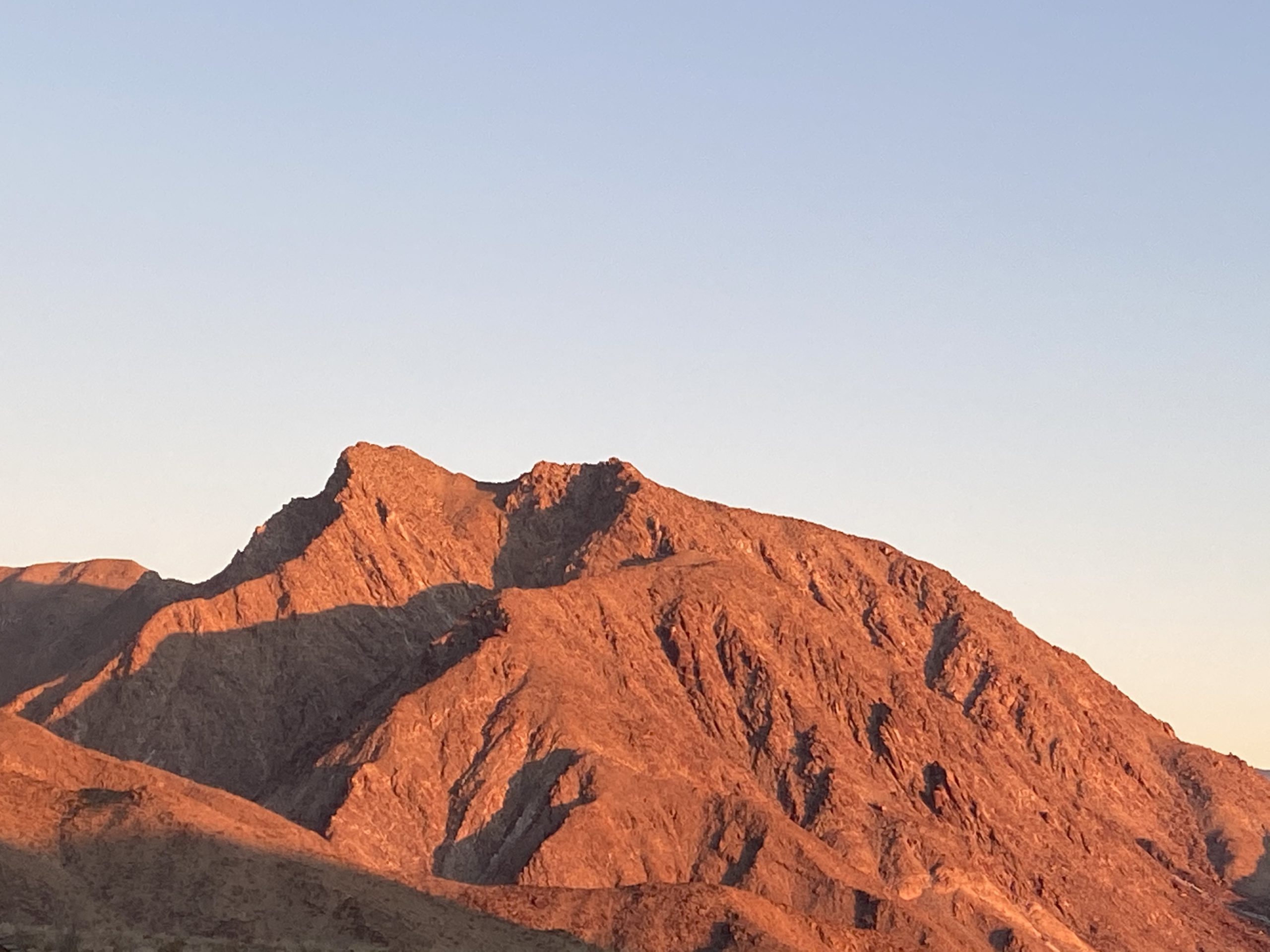
Sawtooth (left) and Red Top (right) from near False Sombrero
To try to maximize my probability to summit these monsters, Ted and I decided to hike to the base of the mountain and leave a water cache. That way, my backpack can be a touch lighter. So, Ted and I switched over to our full backpacks, swapped in our standard kit and the water for the cache and set off.
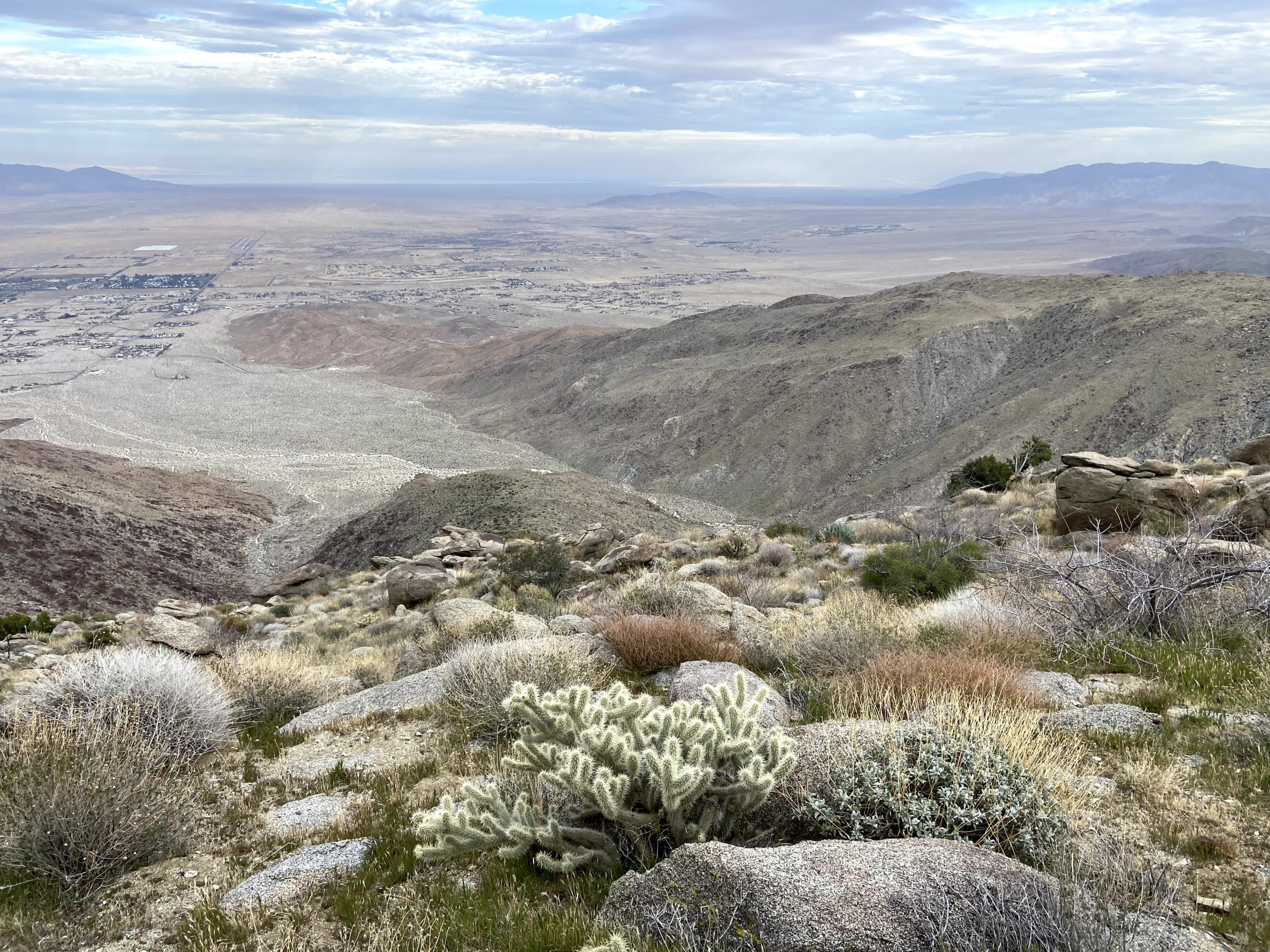
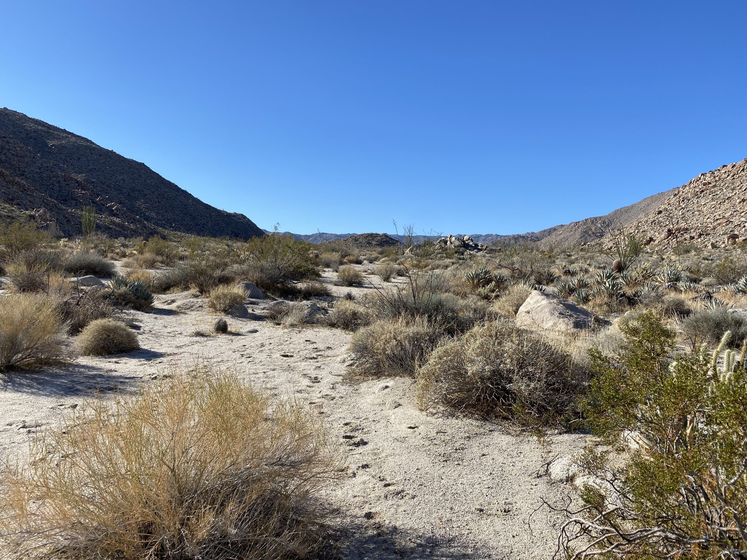
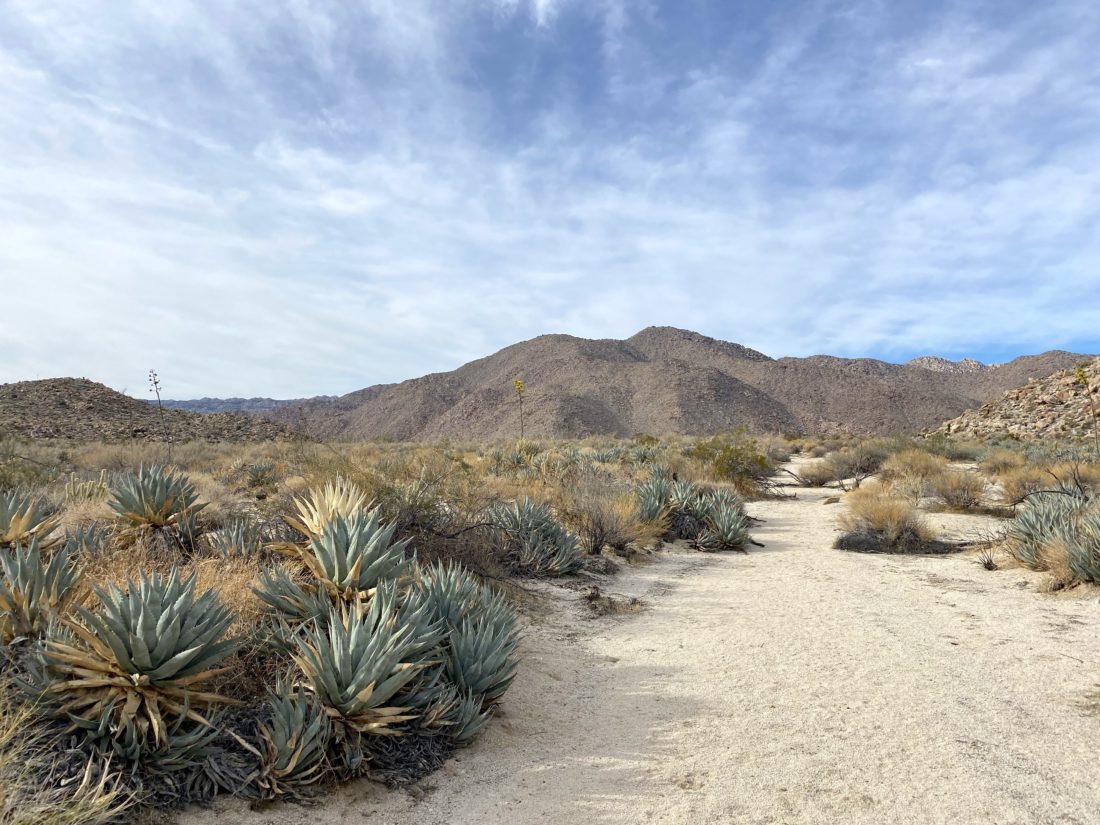
The first part of the hike took us through an unnamed canyon. I had hiked it before when I summited Stage Benchmark and knew that it was an easy 3 miles. Once the canyon opened up onto the Inner Pasture, to our west Red Top rose above the desert floor. We continued to follow the wash to the west. The miles ticked off fairly quickly with us only stopping briefly to double check our track.
Soon, we drew near the base of the mountain and then continued up the drainage to next week’s camping site. We dropped our packs and enjoyed our lunch, feeling good with the pace we kept. I placed my water out of sight nearby. Ted did the same with the water he carried. When he went to pull out his bottles, he realized that he had carried 6 liters, in addition to the fluids he budgeted for the hike itself. We had quite a laugh. We certainly had enough water for next weekend. We looked up the rocky draw that would be our route to the summits. This is going to be a challenge. I am hoping that Matt and Susie have a good memory of their route to help us along.
The topo map shows a spring nearby, so on our way out, we made a small detour to see if it existed. Upon reaching the spot, it was clear that if it did exist, it was not going to be accessed. So much for that idea.
We made good time cruising back, now that our packs were much lighter. We were observing the route with a bit more care. We might be traversing this in the early evening after our summit attempt. Susie and Matt had hiked out partially in the dark.
Once back at the car, we were feeling good about this portion for next week. We decided to treat ourselves to a nice ice cream from the store at Agua Caliente. Now to prepare for the real test.
I am an avid peak bagger, sometimes backpacker, and former sea kayaker living in San Diego. In 2019, I became the third person to complete the San Diego 100 Peak Challenge. Not stopping with that accomplishment, I set my sights on the harder San Diego Sierra Club 100 Peak list, which I completed in 2021. In addition, I have conquered several Six-Pack of Peaks challenges (SoCal, San Diego, Central Coast, and Arizona-Winter). Beyond attempting the San Diego Sierra Club 100 Peak list a second time, I am looking forward to exploring new summits and new adventures across the southwest.
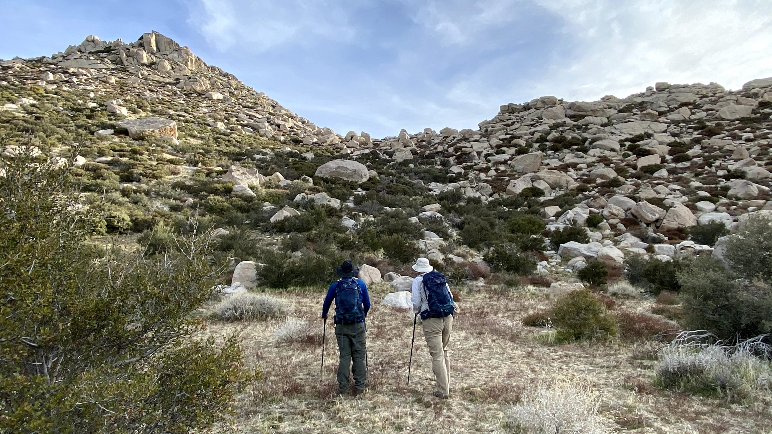
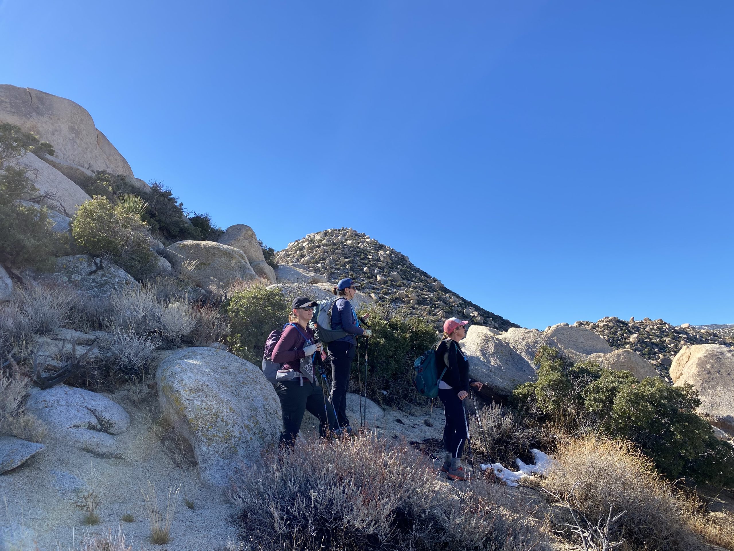
With the local trails needing to dry out from the recent storm, and no way was I going anywhere near the snow, I headed back out to the desert. Some of this year’s 100 Peak Challengers were attempting to summit both Sombrero and False Sombrero peaks via what I think should be called the “Bennett Traverse”. The ladies kindly let me tag along for what was going to be a hard but fun day in Anza-Borrego.
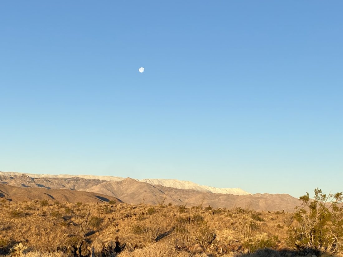
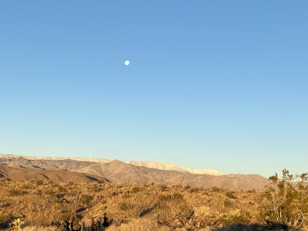
Sombrero under the full moon
As I neared our rendezvous at Mountain Palms Campground, the sun was still casting its glow on the mountains, the snow stood stark across the Lagunas, and the moon shone above it. This planned route was going to require a car shuttle. We parked two cars at the base of False Sombrero, then piled into the third car to drive over to the trailhead for Sombrero. Both Susie and I had done these peaks before as single ascents, but our friend Matt Bennett had explored a route that linked them together. Given the difficulty of both of these peaks, we were all up for this alternative route.
The five of us headed along the faint trail and began our climb. Much of the elevation and effort was going to be the ascent of Sombrero. In just 1.4 miles, we would gain some 1,880 feet. This was one of the few hikes in the challenge I had not done a second time. I always find it interesting to compare my ascents and see where I have grown as a hiker.
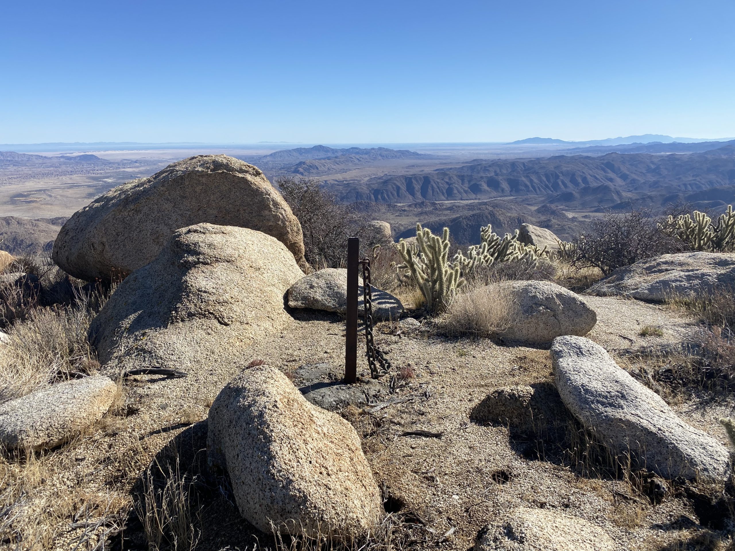
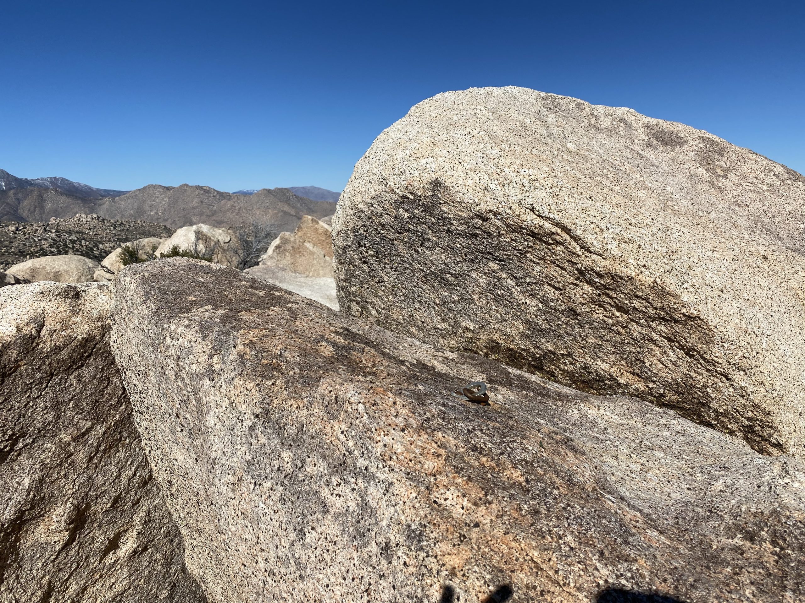
The use trail did a pretty nice job getting us up to the plateau and I was feeling good. One of the reasons I wanted to do this hike was to see how my knee responded to some effort. With the use trail gone, we began working our way up the middle section of the peak. When I did this before I tackled it fairly straight on, while this time we took a more north east angle. I think we made a good choice. Finally, Sombrero came into view. As an added bonus, we found the metal pole and chain! Still have no idea why it is here.
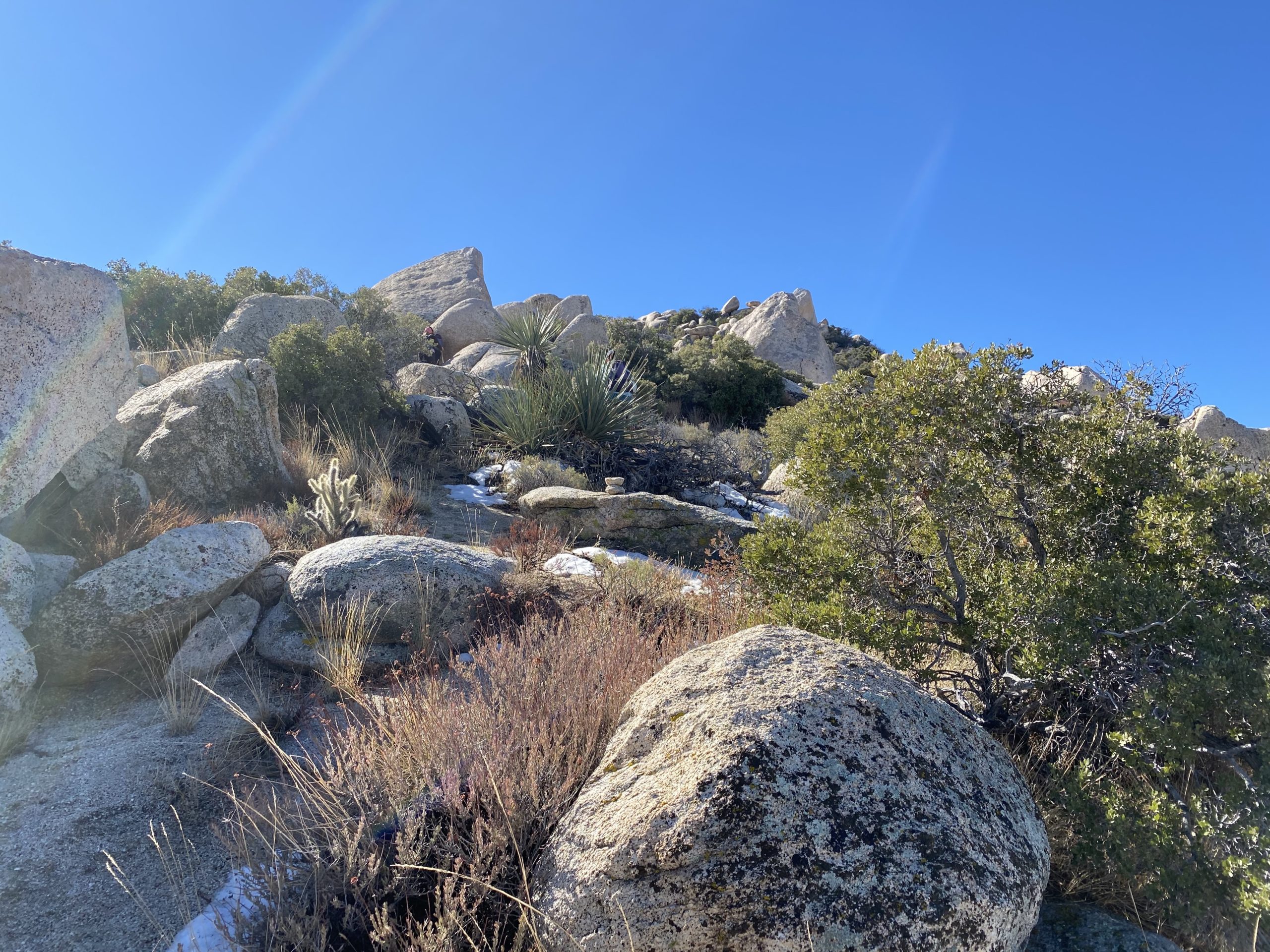
We stayed more on the right side of the peak as we made our final push up. We started to find tiny patches of snow tucked in the shade. Just before we reached the summit, we ran into a small obstacle, so we split up and scouted alternative routes. In a short time, we each bypassed it and were atop the peak.
After a nice break and photos, we began to survey the route we would take over to False Sombrero, which lay to the northeast of us. We could see the basic path we would take, for the most part, so down we went.
We followed a ducked route that is used if you do this peak from the McCain Valley route. That is another route I hope to try one day. Once at the base, we passed a faded sign denoting this was indeed Sombrero Peak. We heard the din of some motorcycles riding the trails, but that was only for a short time.
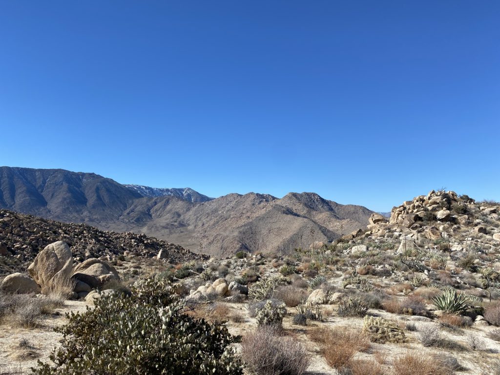
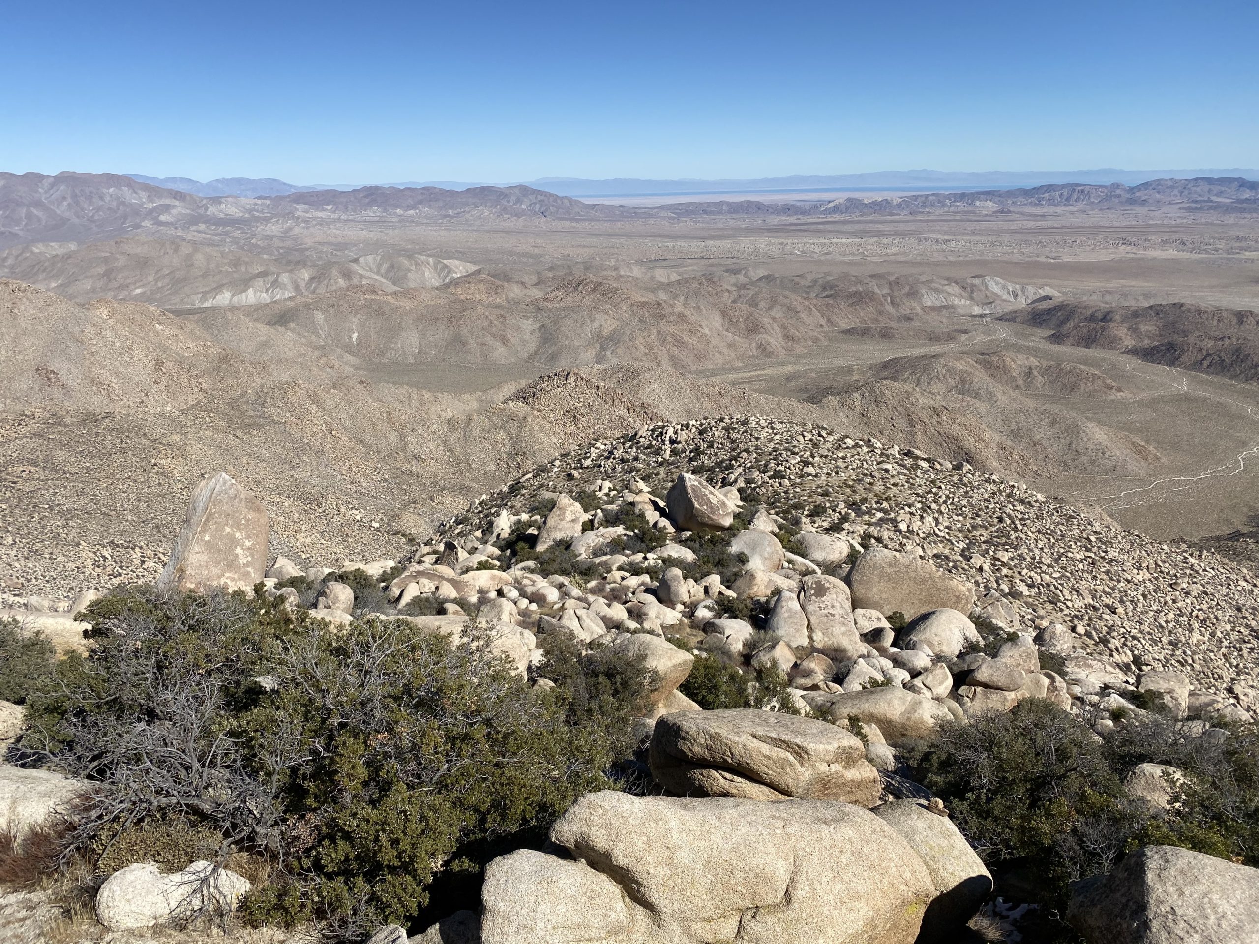
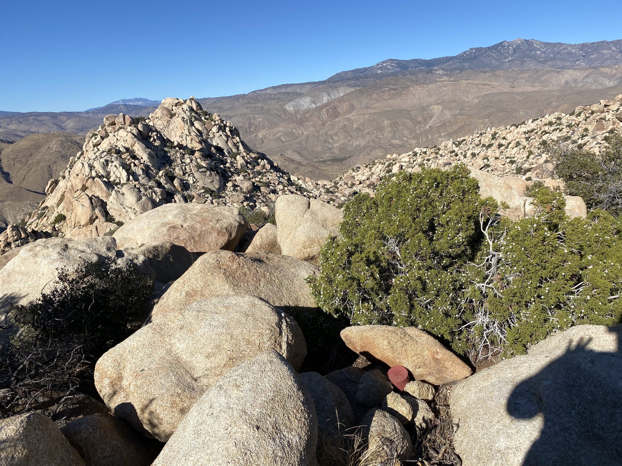
Our route took us across the ridge, for the most part with little issue. We tried to stay along the same contour line as we worked our way ever closer to False Sombrero. Staying beyond the actual ridge, we finally came to a spot where we could now see the Inner Pasture, Red Top, and Sawtooth rising up. I stared at them, wondering if I will be able to conquer them…
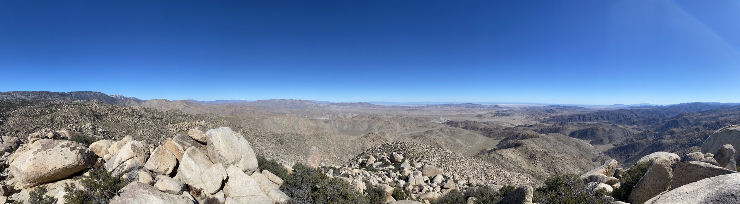
The final scramble up False Sombrero stood before us. We quickly made our way up and took a well-earned break. The views were incredible. The Salton Sea to our east, the snowy Lagunas to our west, and Sombrero off to the south.
After a snack, some photos, and of course adding our names to the register, we headed down. The descent is in two parts–the very steep and loose sandy section, followed by a bouldery portion. Our descent would have us lose about 1,300 feet in just 8/10th of a mile.
We cruised down the sandy section without incident, sans one cholla that tried to hitch a ride on me. While descending, I had flashbacks to when Derek and I did this peak. Later that day, Facebook reminded me that it was two years ago that we did it. After picking our way through the boulders we found ourselves back at our cars. The ladies piled into the Jeep and headed back to the Sombrero trailhead to get the other car, while I headed back solo. This route is the best way to do these peaks. Skipping the tough ascent for False Sombrero and not having to descend Sombrero is worth the couple extra miles via traverse.
I am an avid peak bagger, sometimes backpacker, and former sea kayaker living in San Diego. In 2019, I became the third person to complete the San Diego 100 Peak Challenge. Not stopping with that accomplishment, I set my sights on the harder San Diego Sierra Club 100 Peak list, which I completed in 2021. In addition, I have conquered several Six-Pack of Peaks challenges (SoCal, San Diego, Central Coast, and Arizona-Winter). Beyond attempting the San Diego Sierra Club 100 Peak list a second time, I am looking forward to exploring new summits and new adventures across the southwest.
Since it was just past noon, we decided to add in one more peak. When we were out 4x4ing a few weeks back, Ted had done Piedras Grande, but we skipped Indian Hill. I drove out to the trailhead via Mortero Canyon.
As we grabbed our gear, the wind was starting to pick up. Once at the base of Indian Hill, we debated on our route. This time I decided to try it from the east side rather than from the north. The ascent was pretty straight forward and a bit easier.
We snapped a few photos, signed the register and returned via the same general route, as the wind continued to pick up.
I am an avid peak bagger, sometimes backpacker, and former sea kayaker living in San Diego. In 2019, I became the third person to complete the San Diego 100 Peak Challenge. Not stopping with that accomplishment, I set my sights on the harder San Diego Sierra Club 100 Peak list, which I completed in 2021. In addition, I have conquered several Six-Pack of Peaks challenges (SoCal, San Diego, Central Coast, and Arizona-Winter). Beyond attempting the San Diego Sierra Club 100 Peak list a second time, I am looking forward to exploring new summits and new adventures across the southwest.
After summiting Red Hill, Ted and I then hopped back into the car and drove the few minutes to the Mine Peak trailhead. We picked up the use trail along the ridge and soon found ourselves at the summit.
This peak has some great views of southern Anza-Borrego! Back at the mine buildings, we chatted for a bit with a couple out riding their motorcycles.
I am an avid peak bagger, sometimes backpacker, and former sea kayaker living in San Diego. In 2019, I became the third person to complete the San Diego 100 Peak Challenge. Not stopping with that accomplishment, I set my sights on the harder San Diego Sierra Club 100 Peak list, which I completed in 2021. In addition, I have conquered several Six-Pack of Peaks challenges (SoCal, San Diego, Central Coast, and Arizona-Winter). Beyond attempting the San Diego Sierra Club 100 Peak list a second time, I am looking forward to exploring new summits and new adventures across the southwest.
I wanted to get some hiking in during the brief break in the weather, so on Sunday Ted Markus and I headed out toward Anza Borrego. Our first two options seemed like weather might still be a factor, so we went for our third choice to hit some of the peaks Ted needed to summit for the 100 Peak Challenge.
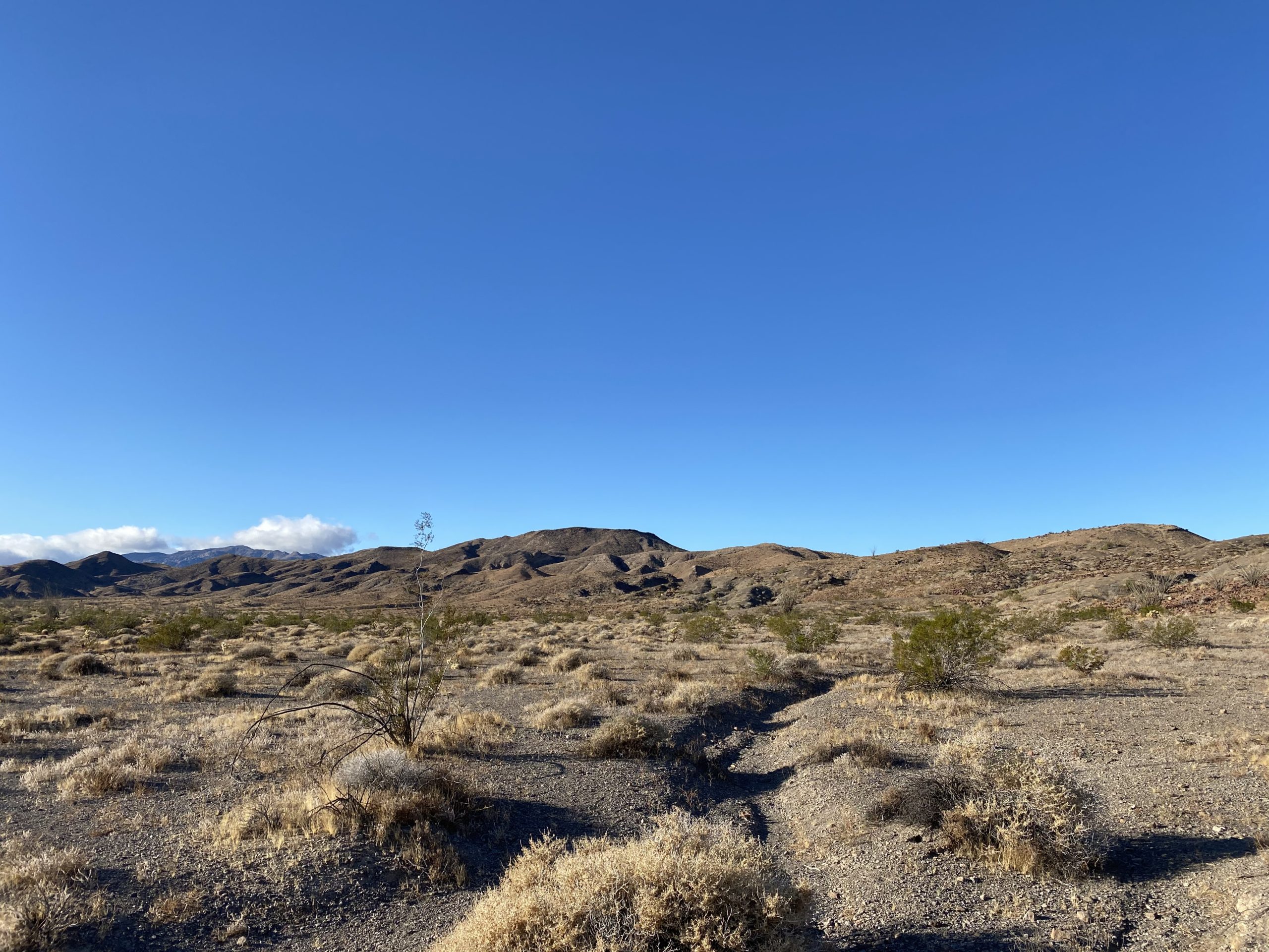
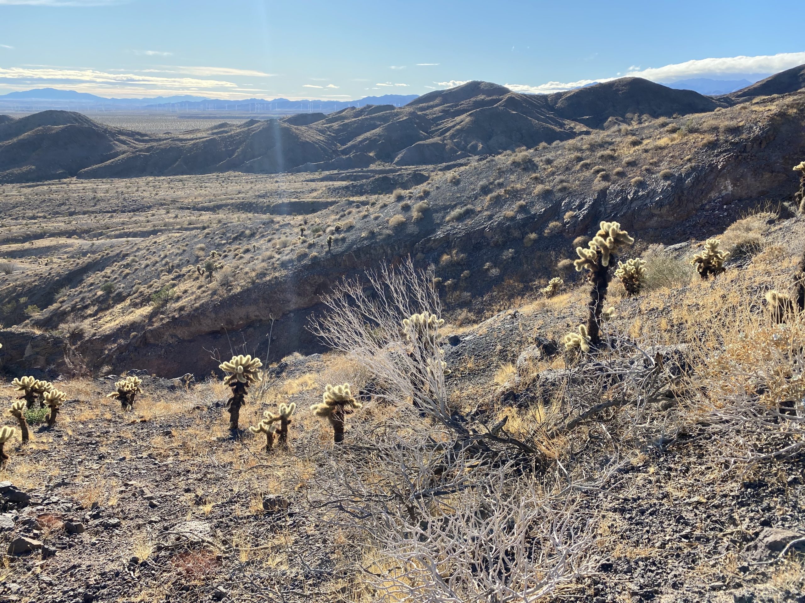
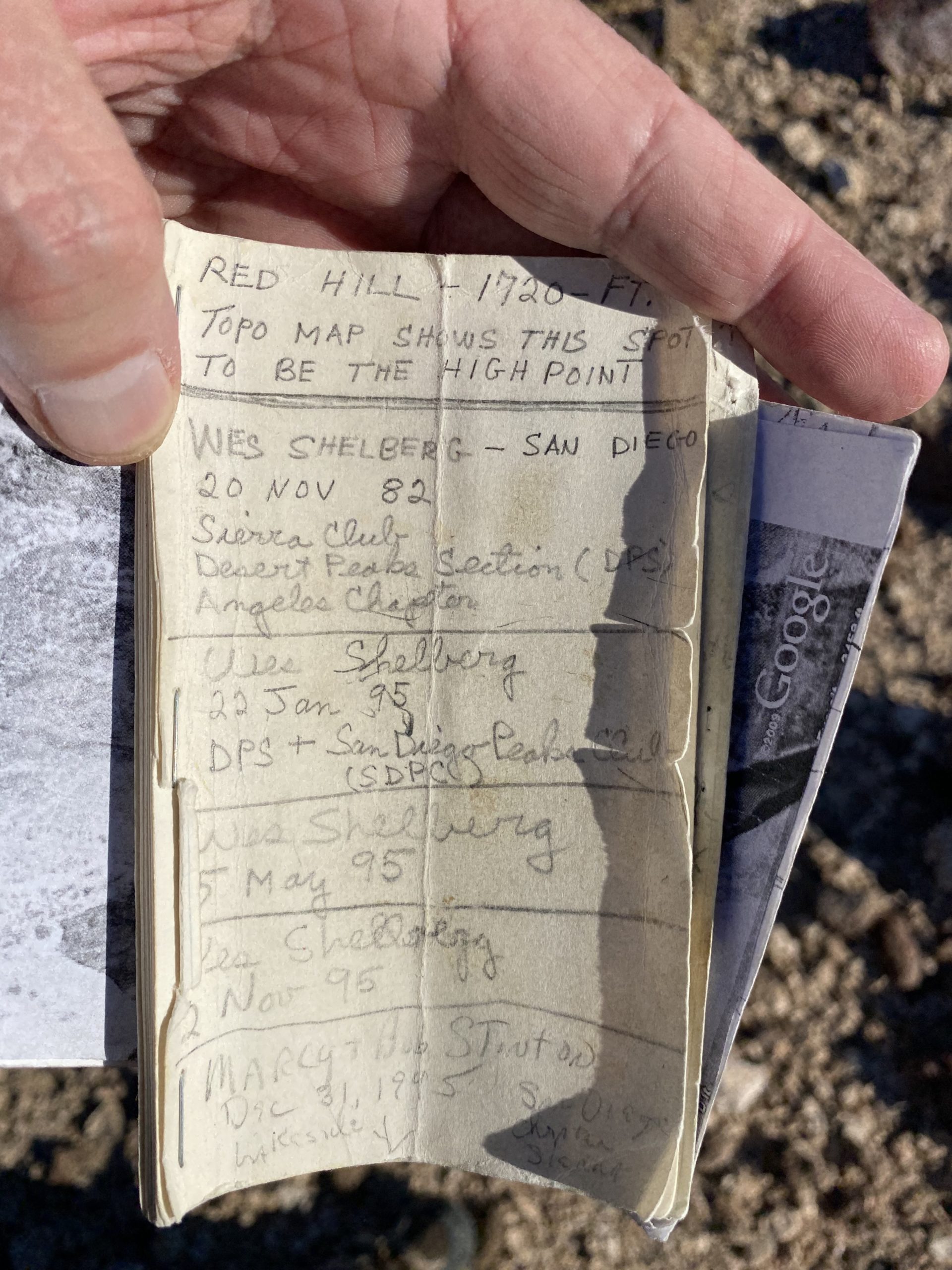
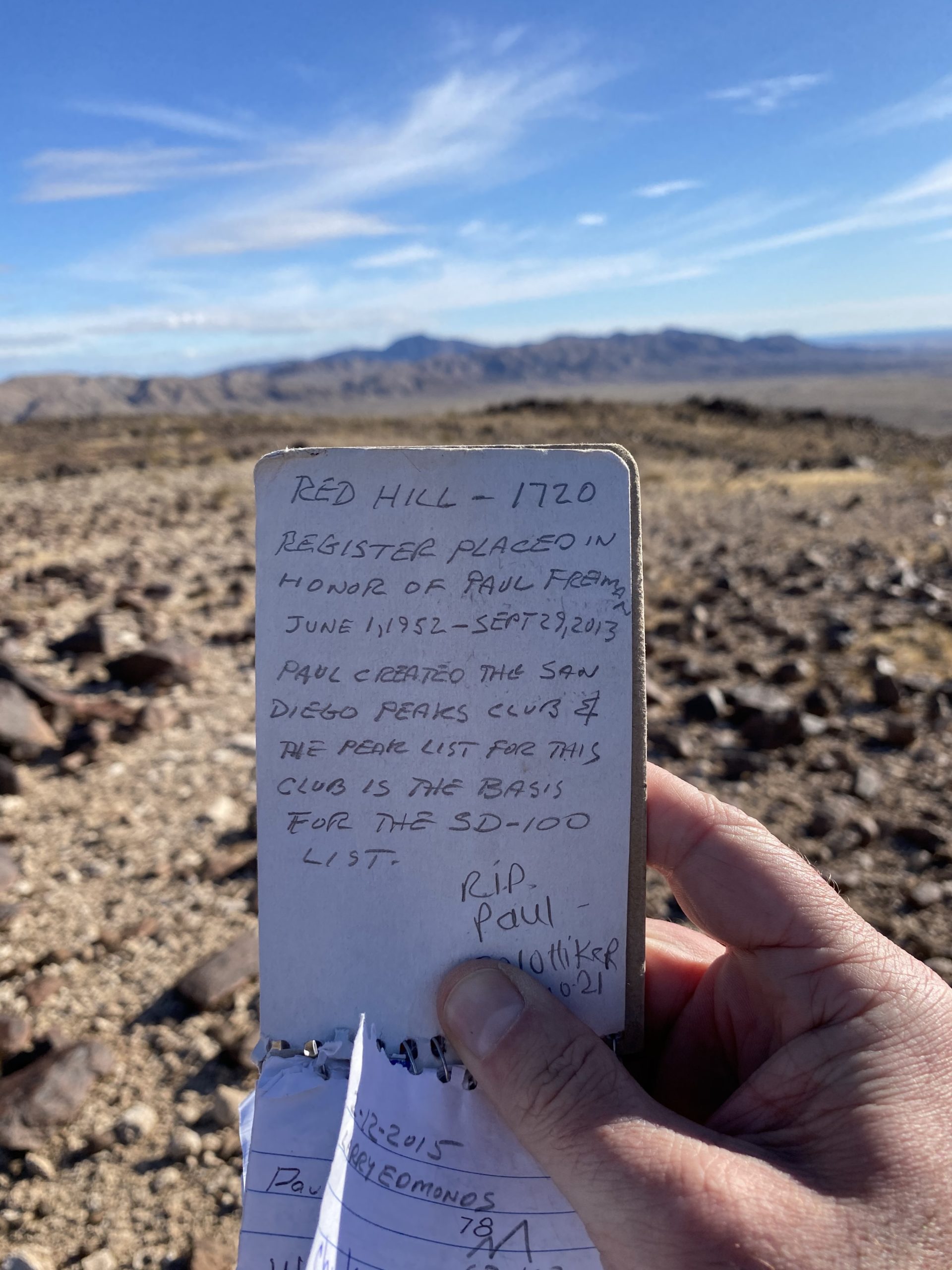
First up was Red Hill.
We took the ridge route I had used twice before up to the summit. After signing the register at the summit, we opted to drop into the wash to the north and follow it out. It was a great choice!
I am an avid peak bagger, sometimes backpacker, and former sea kayaker living in San Diego. In 2019, I became the third person to complete the San Diego 100 Peak Challenge. Not stopping with that accomplishment, I set my sights on the harder San Diego Sierra Club 100 Peak list, which I completed in 2021. In addition, I have conquered several Six-Pack of Peaks challenges (SoCal, San Diego, Central Coast, and Arizona-Winter). Beyond attempting the San Diego Sierra Club 100 Peak list a second time, I am looking forward to exploring new summits and new adventures across the southwest.
Sometimes just getting to the trailhead can be the first part of the challenge. Palms and Elder Benchmark sit to the west of Collins Valley, near Sheep Canyon. To get to the trailhead you need a true 4×4 vehicle and my Subaru Outback was not going to cut it. Two weeks ago during the hike out to Gasp Benchmark, I got to chatting with Greg Gerlach. He indicated that he would be up for climbing those peaks again. For those not immersed in peakbagging, Greg can be considered as truly one of the experts. In fact, he has almost finished the San Diego Sierra Club 3 times!
We set off to rendezvous with Greg in Borrego Springs at 7 am. Just as we began our descent toward the desert, the sun began to spread its glow across the sky. We pulled off a few times to let Ted capture it. After a quick bio-break at Hellhole Canyon trailhead, we pulled into the parking lot behind the taco shop. Greg arrived soon thereafter, and we quickly tossed our gear into his car as set off. We had almost another hour of off-road driving before we could start our hike. The road was fine, with the first two crossings bone-dry, as expected. The third crossing did have some water. As we bounced our way up “boulder alley”, it was clear that my trusty Outback would have met her match.
Palms (right) and Elder (left)
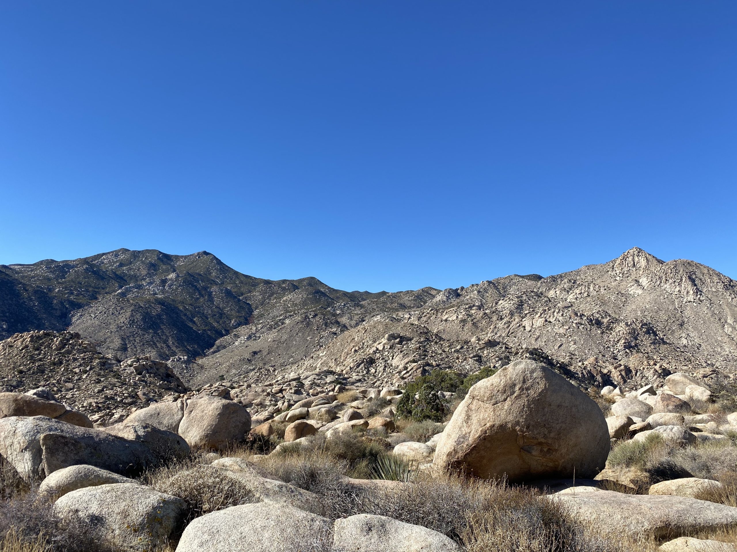
Parking near where we had before when the three of us climbed Squaretop back in late 2019, our gaze turned toward the steep rocky slope that we needed to ascend. These peaks are not really hikes, but more sustained climbing and bouldering. We scouted a basic line we wanted to follow and began our ascent.
For this section, the rocks were manageable and we did not encounter too many issues as we slowly worked our way up. We kept a steady but measured pace. As Greg put it, these two peaks are the 3rd and 4th hardest on the list. Soon we reached the first saddle and took a short break. From here we would work our way along the northern slope for a bit before picking our way through a more boulder-filled gully. Our effort was not so much measured in miles but in time.
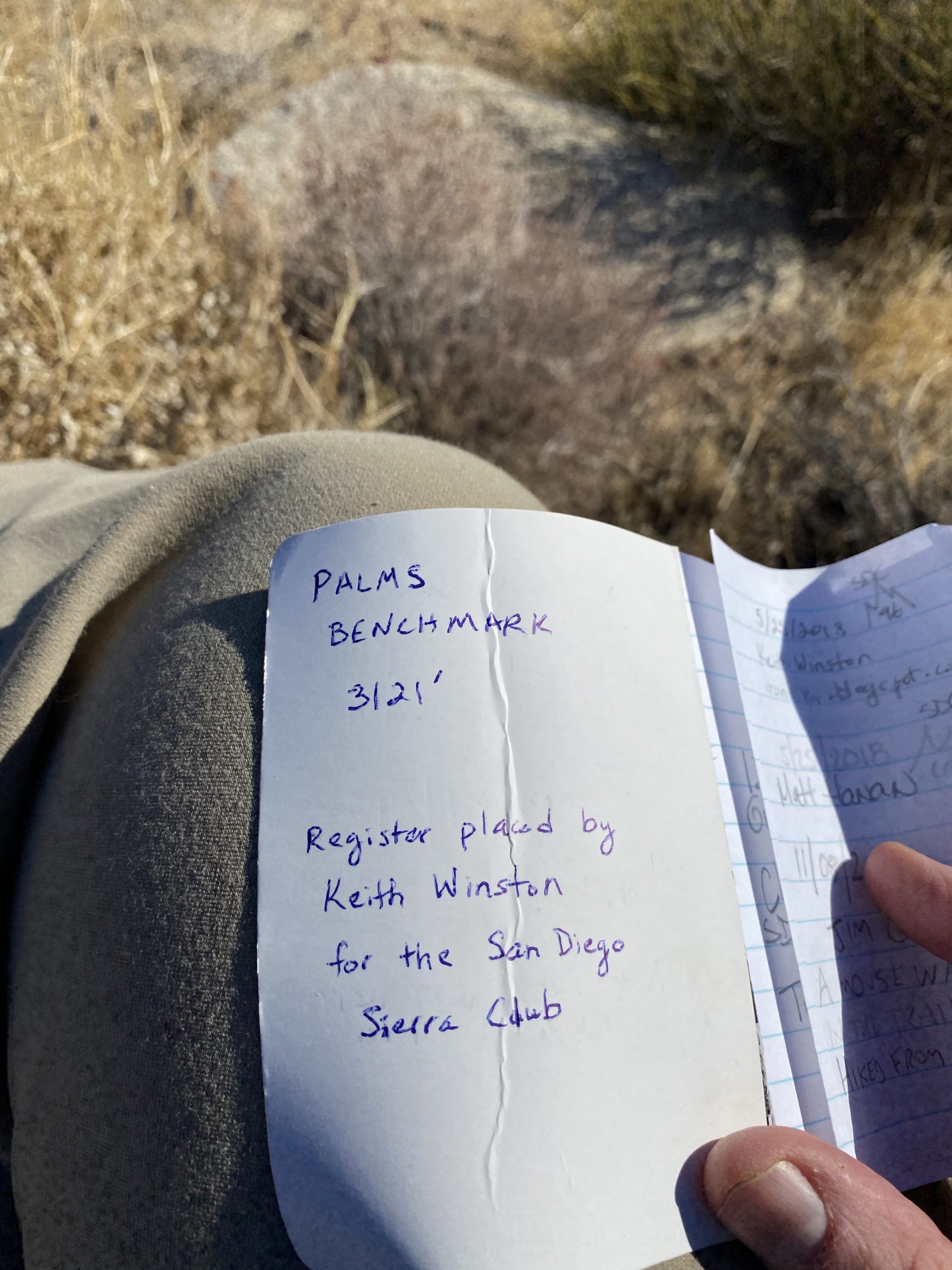
Soon, we were ready to make the ascent up toward Palms Benchmark. Thankfully, we had encountered very few cacti along the way. One less hazard to worry about! The rocky slope soon started to become more sandy, letting us know that we had almost reached the summit. Once at the summit, the three of us set out to find the register and the benchmark. We did locate the register, and happily signed our names into it. But other than the remains of the survey post, we did not locate an actual mark. No matter, the views were sweeping. Off to the southwest, Squaretop. Directly to the west, Collins rose impressively. I am glad we did that peak from the other side, as coming up from the desert floor would have been a tough climb. Off to our north was our next peak, Elder Benchmark. After a bit of a rest, and peanut butter and jelly sandwich, we set off back down toward a small plateau that sits between Palms and Elder.
Looking back at Palms Benchmark
Once at the base of Elder, we again scouted our route. Elder’s slope is strewn with large boulders, making the ascent a tougher challenge. Add to that it is also higher than Palms Benchmark. We checked our elapsed time and felt that we should be ok. Our main goal was to be on the desert floor before we lost the light, so up we climbed. There were some tougher sections along this ascent, as the terrain was certainly tougher. Greg would have to scout ahead a few times to make sure we were not going to encounter elements beyond our comfort levels. We did have one section that took some care to cross. I took a narrow ledge for my route, while Ted opted to push up a steep sandy portion. Finally, we crested the ridge and climbed over a small false summit before reaching the actual summit.
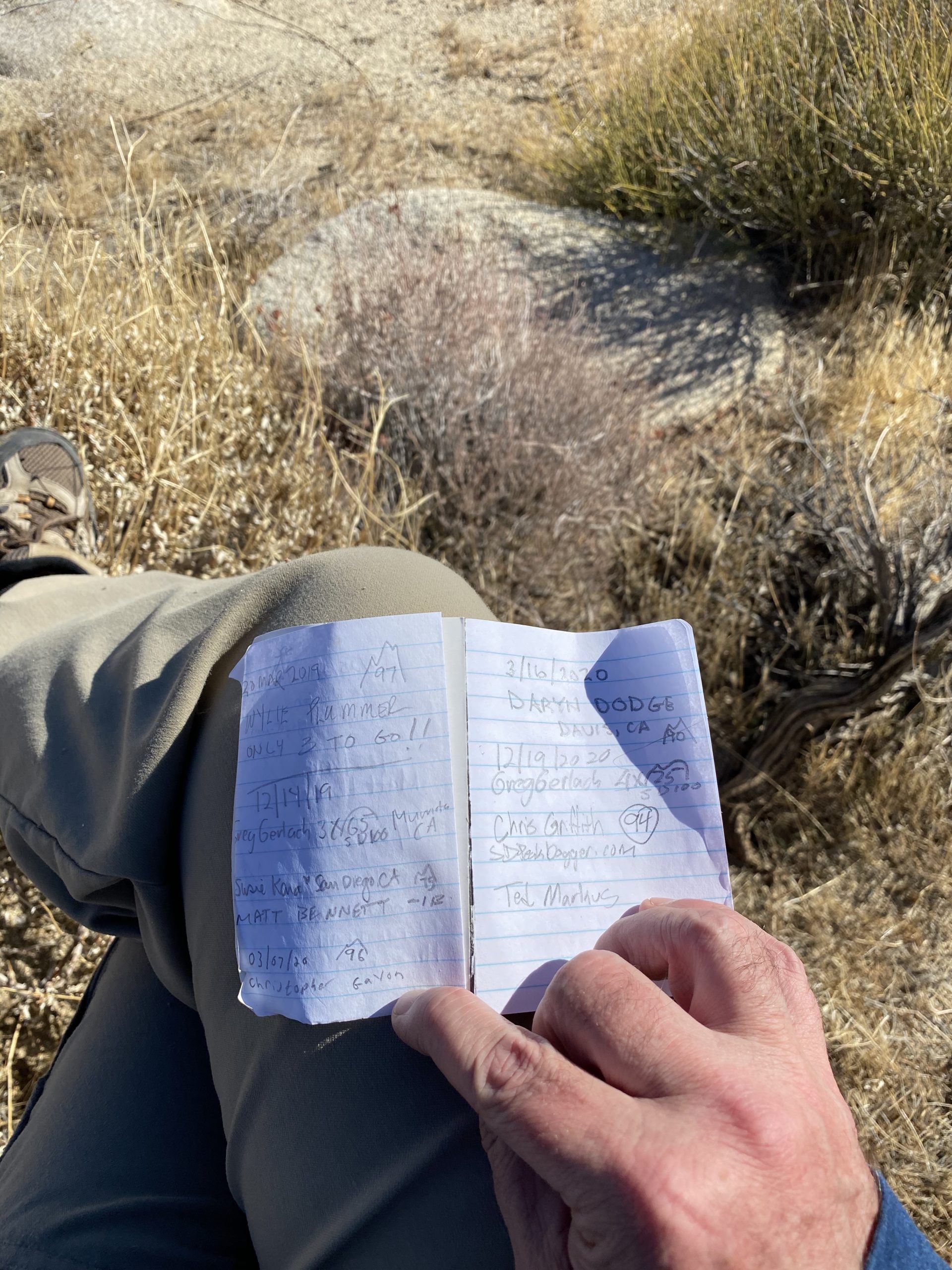
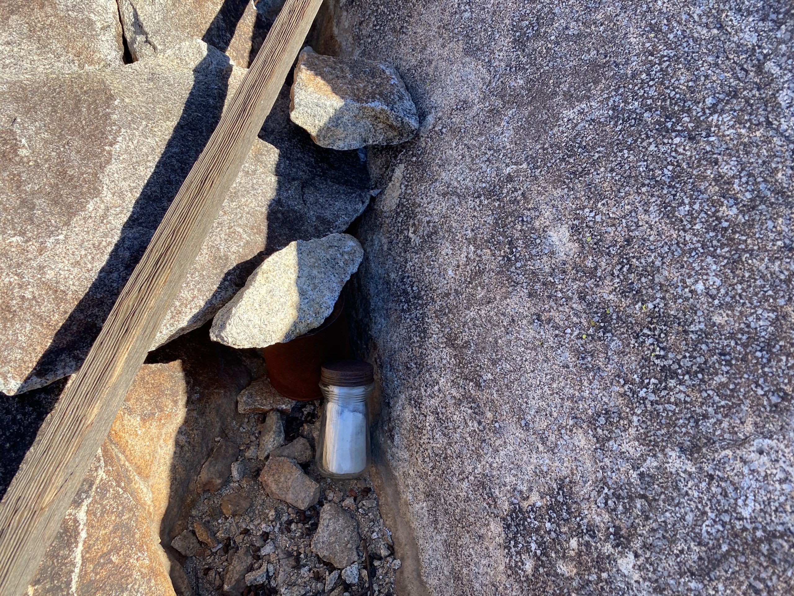
We found the register and the mark with no trouble. We snapped a few photos, and took a short break, being mindful of the tough descent that still lay ahead of us. We made our way back down to the plateau without the drama we had upon the ascent. We made our way to the top of the gully and scouted our general path. This gully is filled with some car-sized rocks, so we knew we had our work cut out for us. I stored my pole in my pack, and we began our scramble down. The shadows were starting to creep across the valley floor as we stuck to the left side of the gully to avoid what we could.
About halfway down, the boulders became smaller in size and I broke out my poles. As we neared the desert floor, we passed by a rock that had a piece knocked off it. The colors were amazing. Once on the desert floor, we quickly cruised back to the car under the fading sunlight and the slight glow from the sliver of a moon. Once back in the car, we carefully headed back toward Borrego Springs. All told we spent just over 9 hours “hiking”, and according to my tracker covering 5.09 miles with 2,800 feet of gain. Ted’s GPS watch logged us at 6.39 miles. Go figure. In the end, my 94th and 95th peaks were now completed.
I am an avid peak bagger, sometimes backpacker, and former sea kayaker living in San Diego. In 2019, I became the third person to complete the San Diego 100 Peak Challenge. Not stopping with that accomplishment, I set my sights on the harder San Diego Sierra Club 100 Peak list, which I completed in 2021. In addition, I have conquered several Six-Pack of Peaks challenges (SoCal, San Diego, Central Coast, and Arizona-Winter). Beyond attempting the San Diego Sierra Club 100 Peak list a second time, I am looking forward to exploring new summits and new adventures across the southwest.