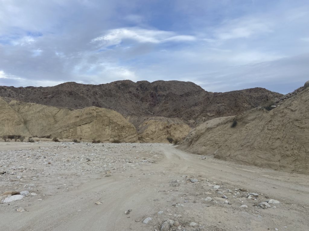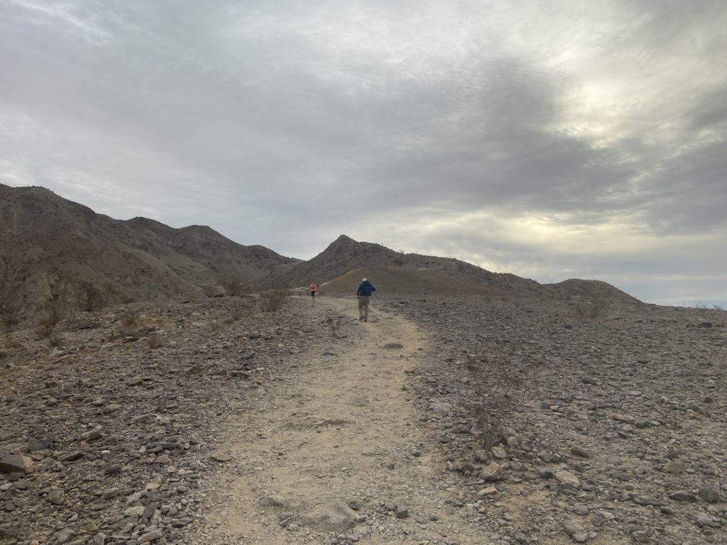
After climbing Split Mountain East in the morning, Susie, Ted and I set our sights on Split Mountain West. The trailhead is about ½ mile from where we had parked. These two hikes are contrasts of one another, Split Mountain East is mostly a ridgeline hike, while Split Mountain West will mostly be within a wash. The road out to the trailhead was also a bit more difficult, but the mighty Outback got us to a nice pull out to begin our hike. Unlike when we did this hike in 2020, we didn’t start the day as early, so we were needing to be mindful of the time, as I certainly did not want to be driving the off-road section in the dark.
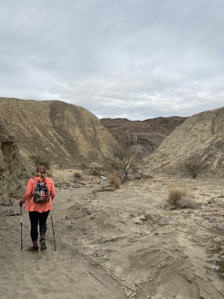
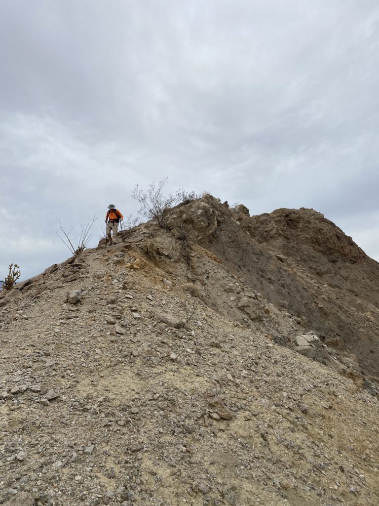
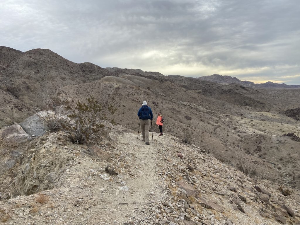
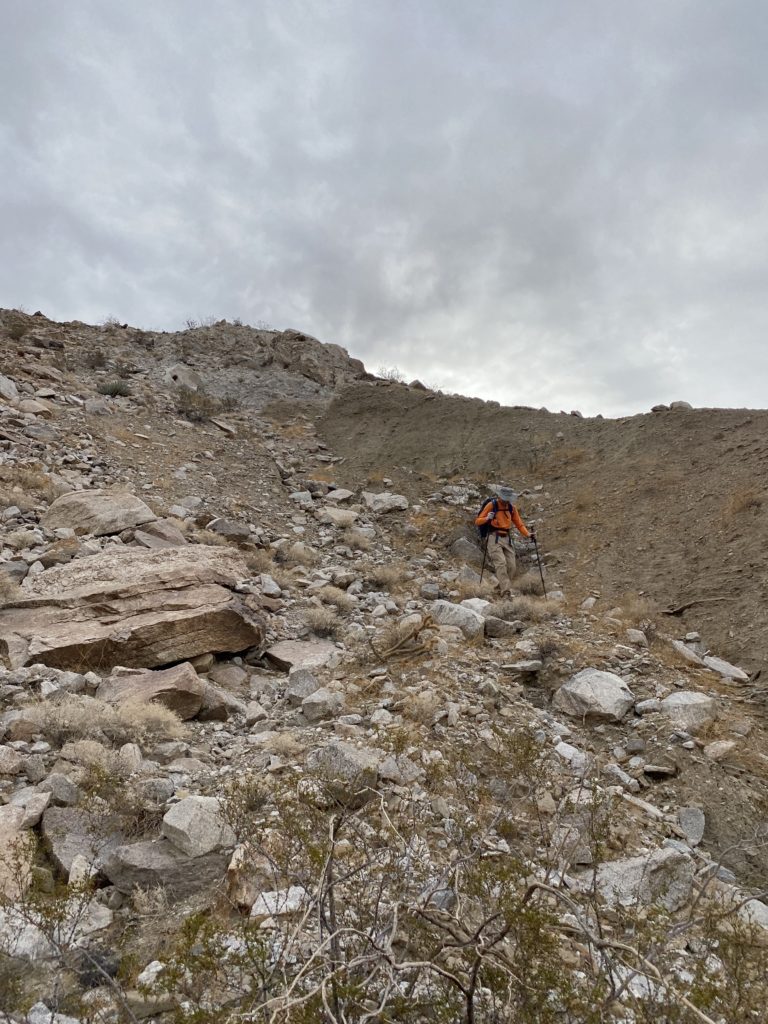
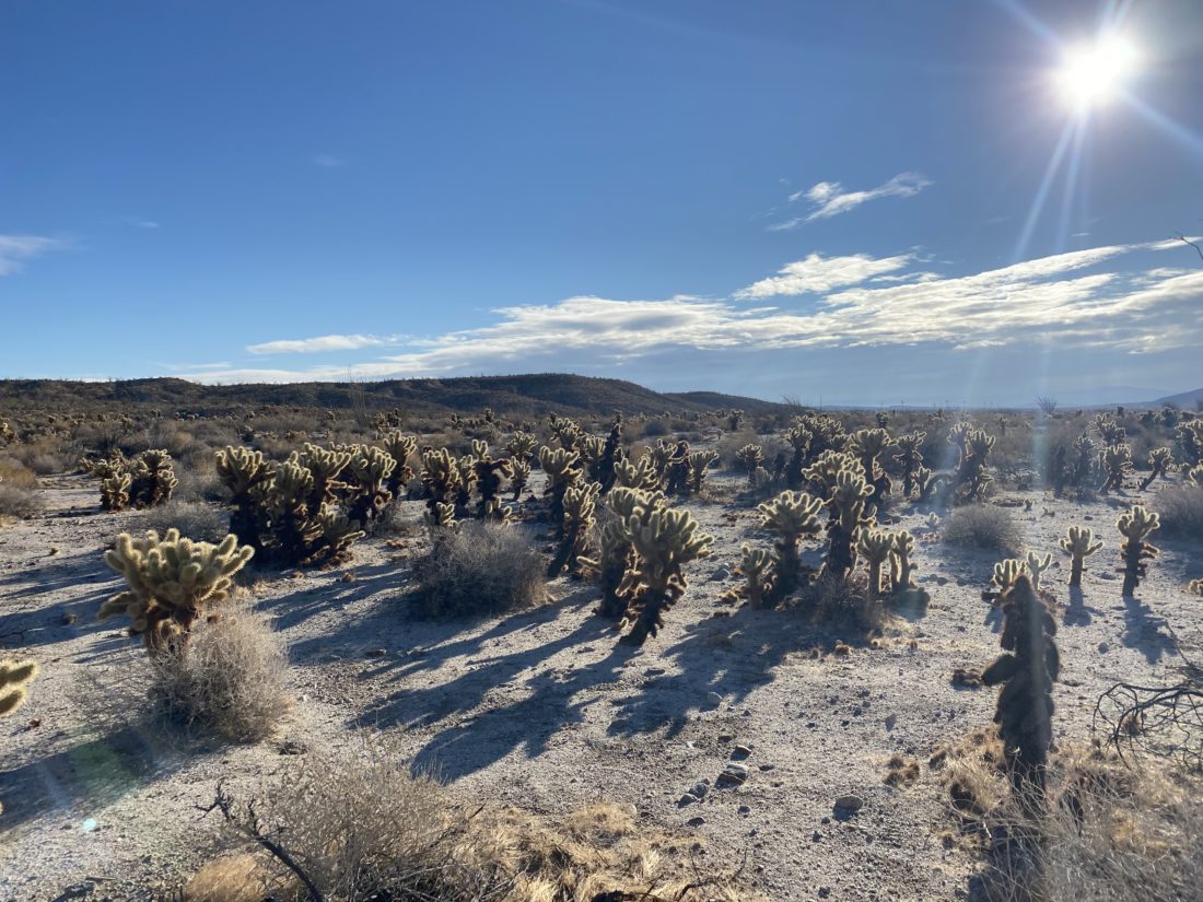
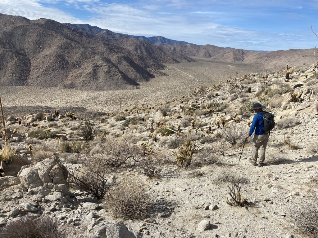
Once again, we planned to use our track from 2020 as the basis for our route. We followed a small wash for a bit, before climbing a steep, loose, rocky slope. Unlike our forgetfulness earlier in the day, both Susie and I recalled this section. After reaching the crest of the ridge, we followed it a bit before dropping down the other side into Oyster Shell Wash. This portion of the wash is a bit rocky, and we remembered that while we could follow it out back to the road, it would not be easy going.
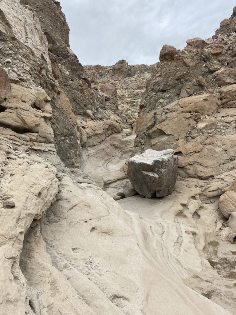
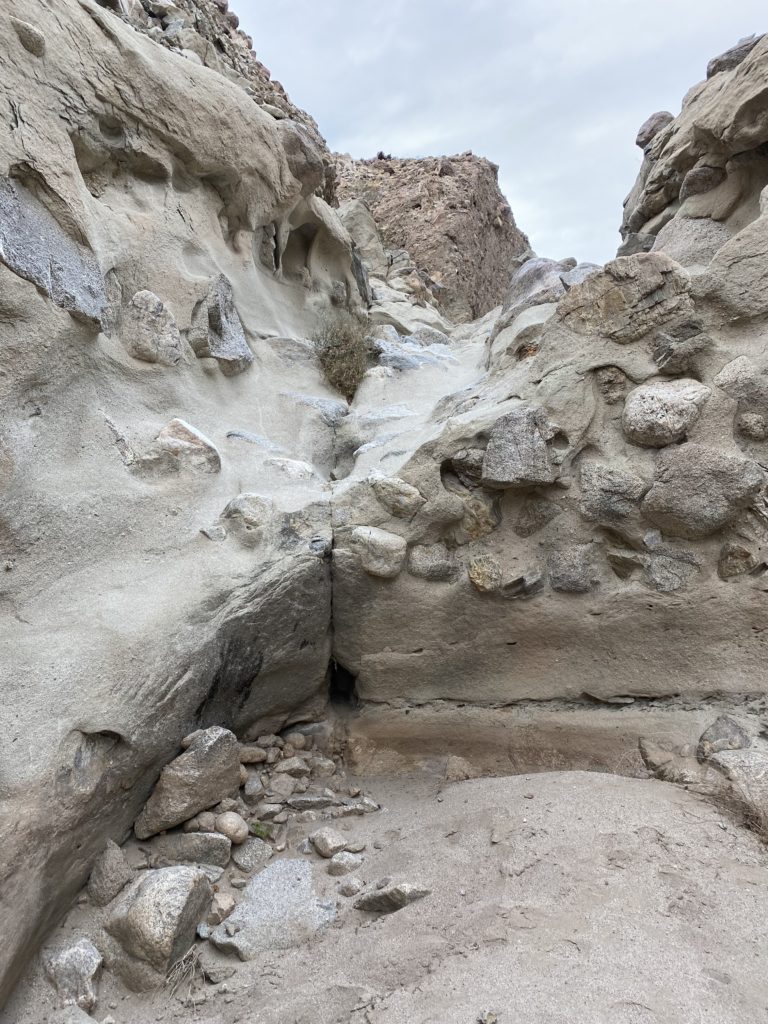
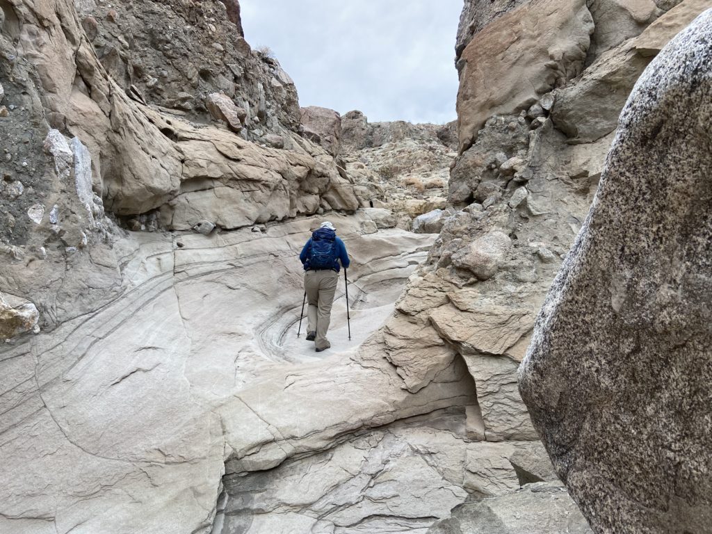
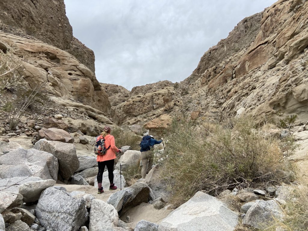
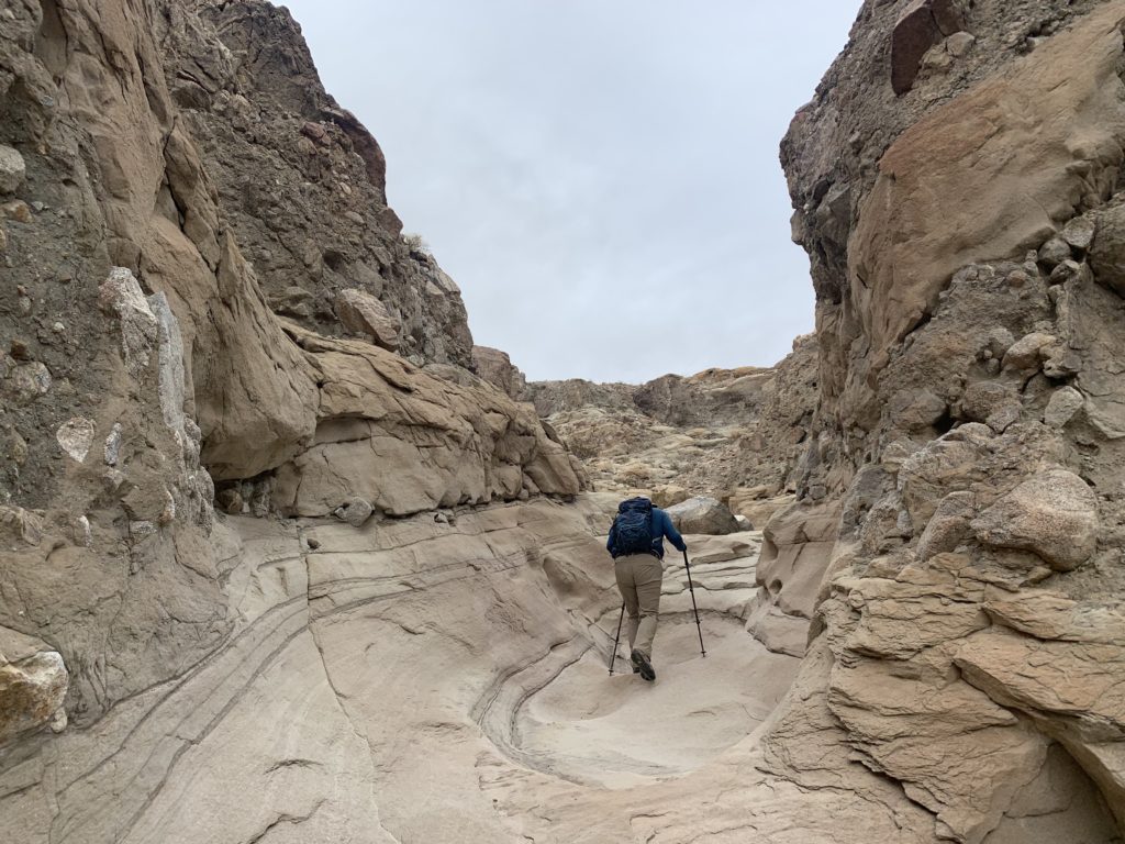
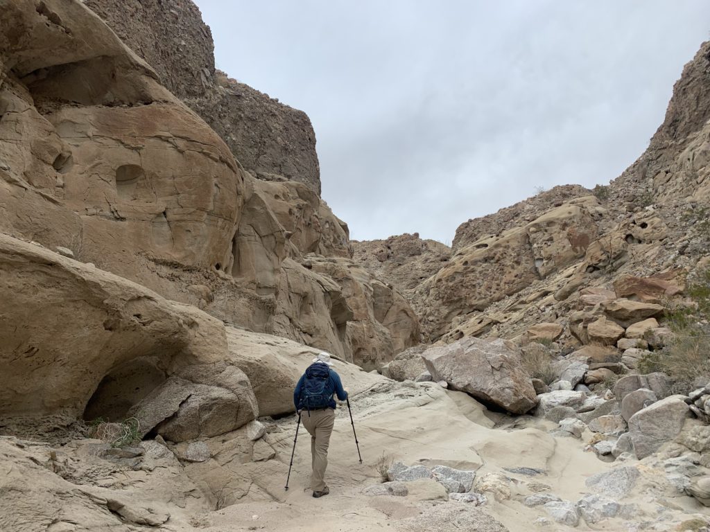
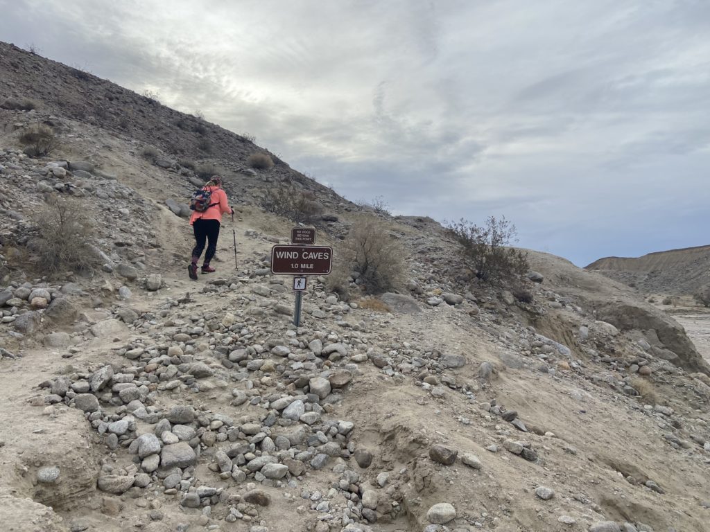
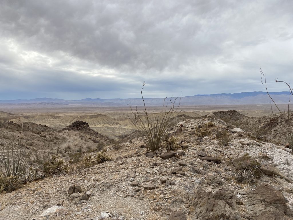
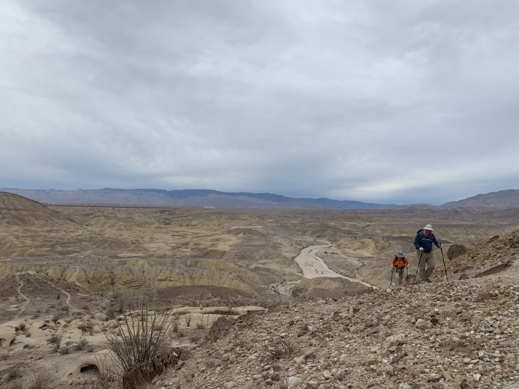
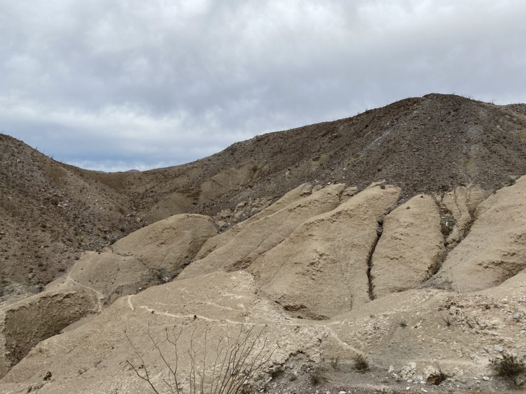
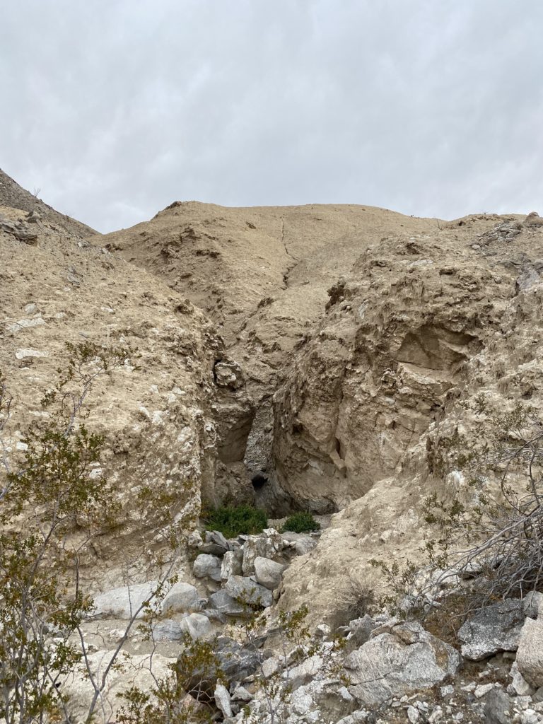
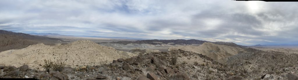
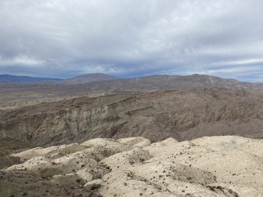
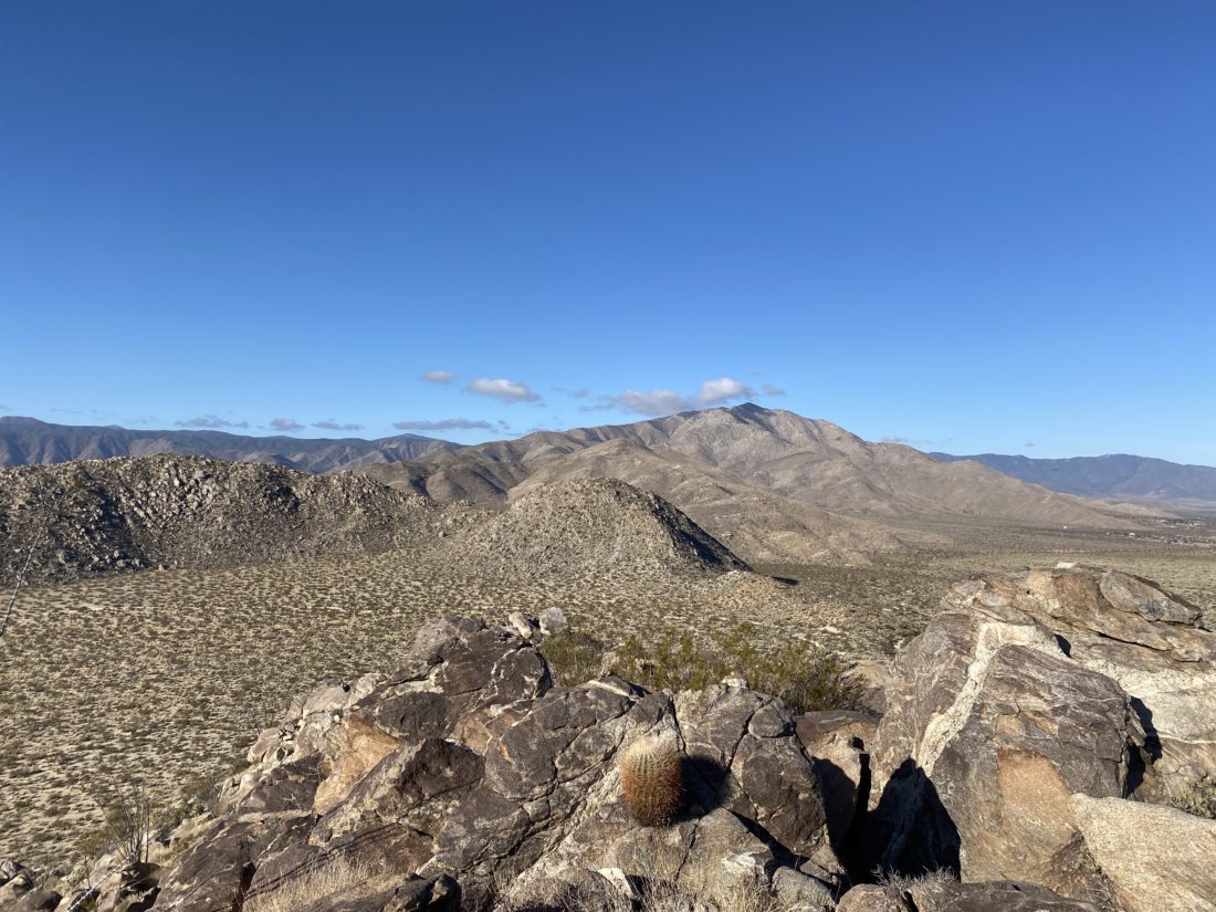
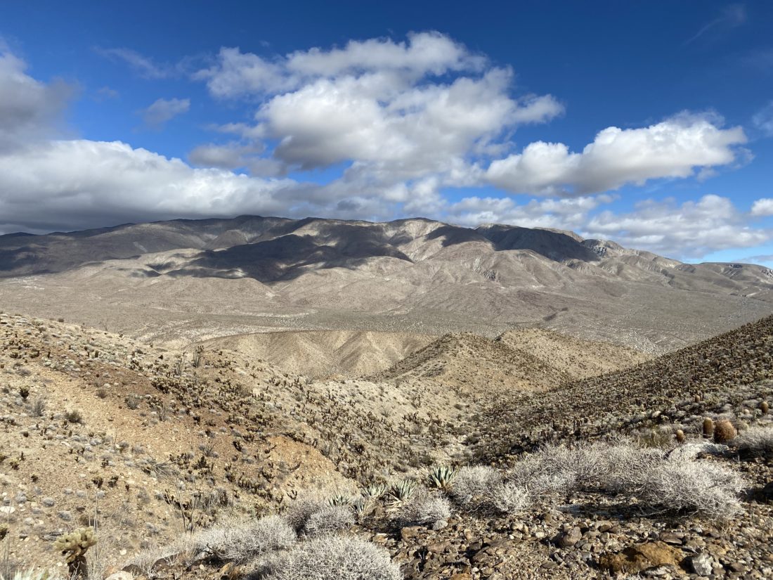
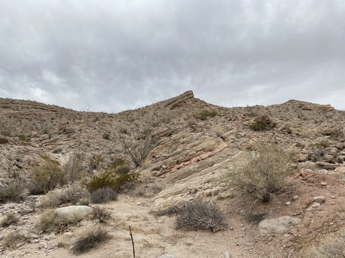
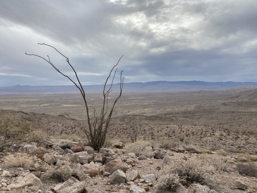
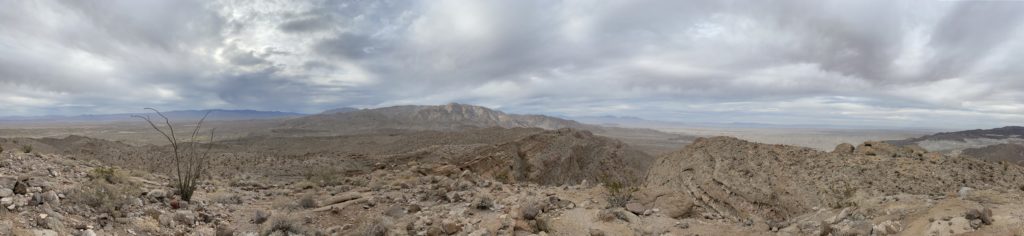
We left a marker to tell us when we should exit the wash and back over the ridge. I took the lead as we began working our way up the wash. This initial portion of the hike had several dry falls to navigate. Sometimes we could climb them directly, but there were a couple that required us to bypass them. After about ½ mile in the wash, it opened up some and became more sandy. We cruised along, weaving our way mostly northward toward the summit. Eventually, the wash began to end and finally the summit came into view. There is another peak directly off to the east from the wash, and on some older version of the San Diego Peak Club list, it is listed. Susie and I talked about making a detour for it. But, being mindful of the time, we decided not to.
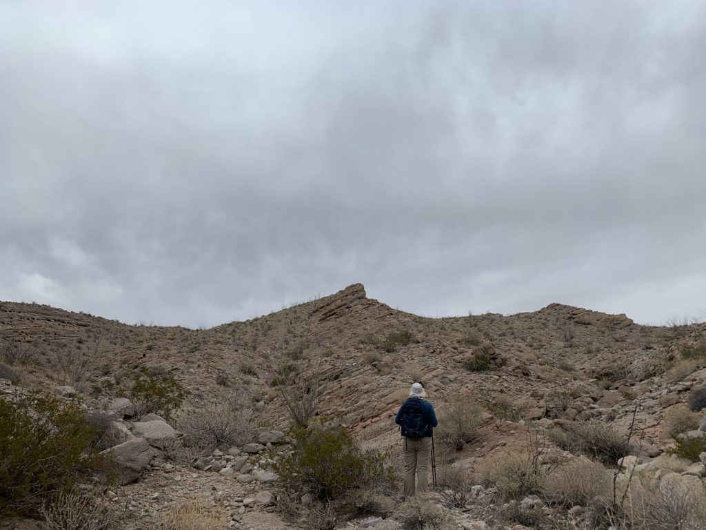
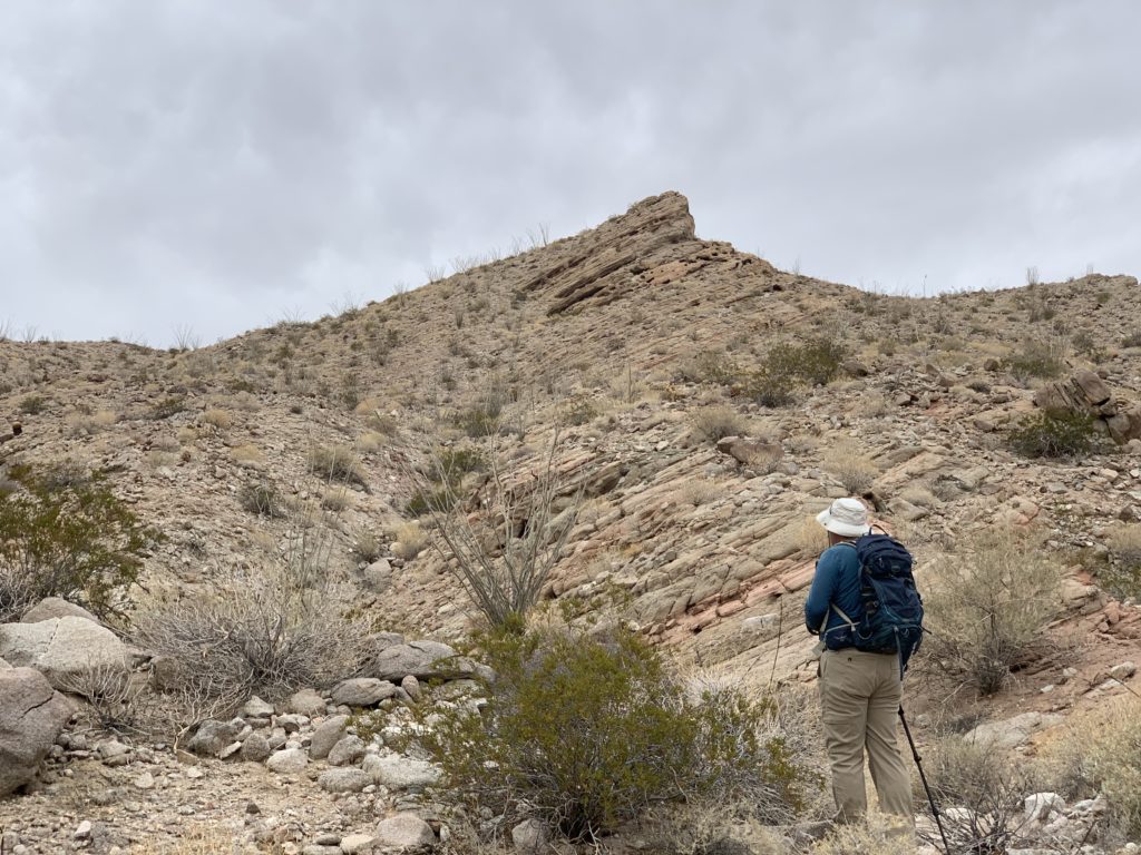
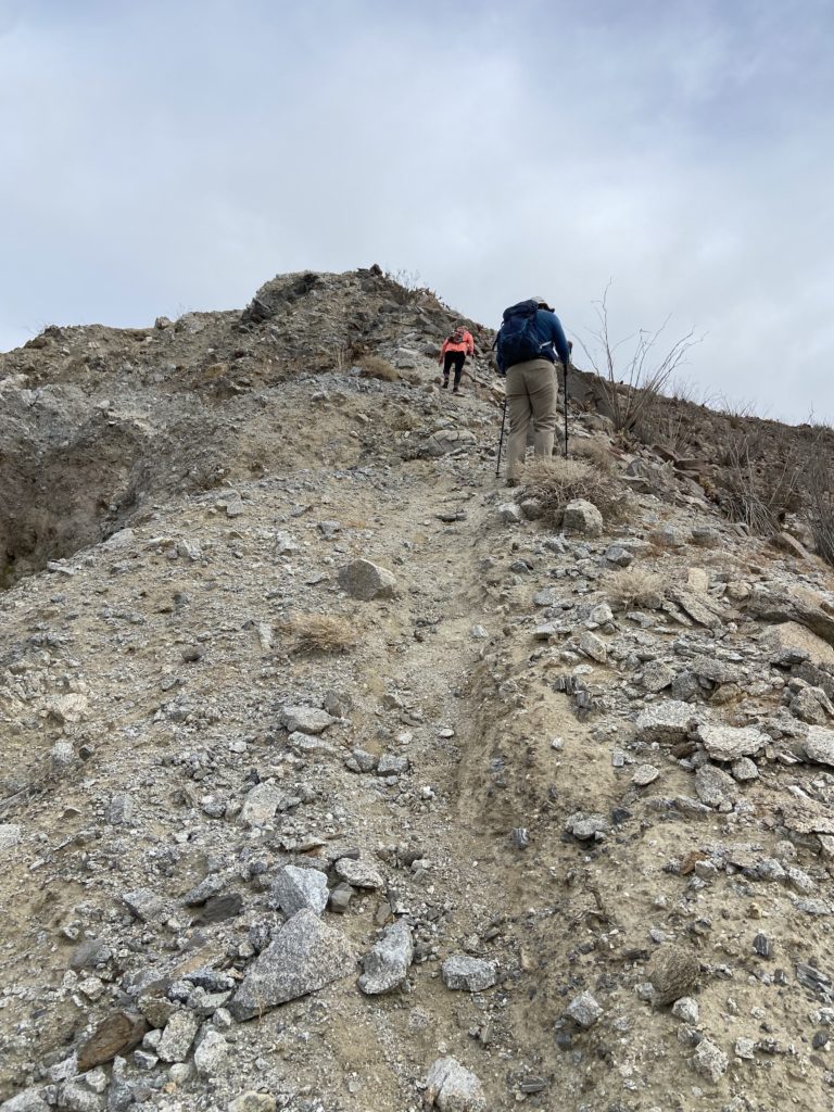
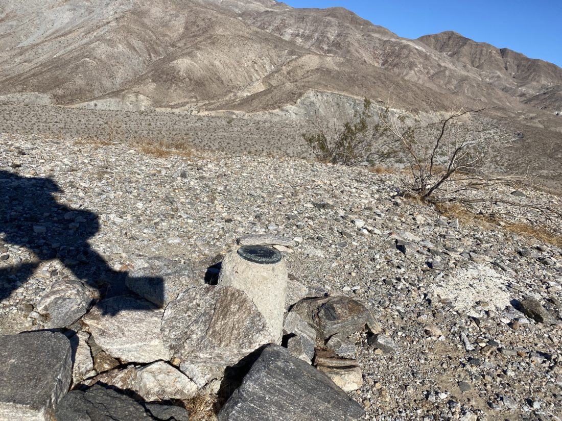
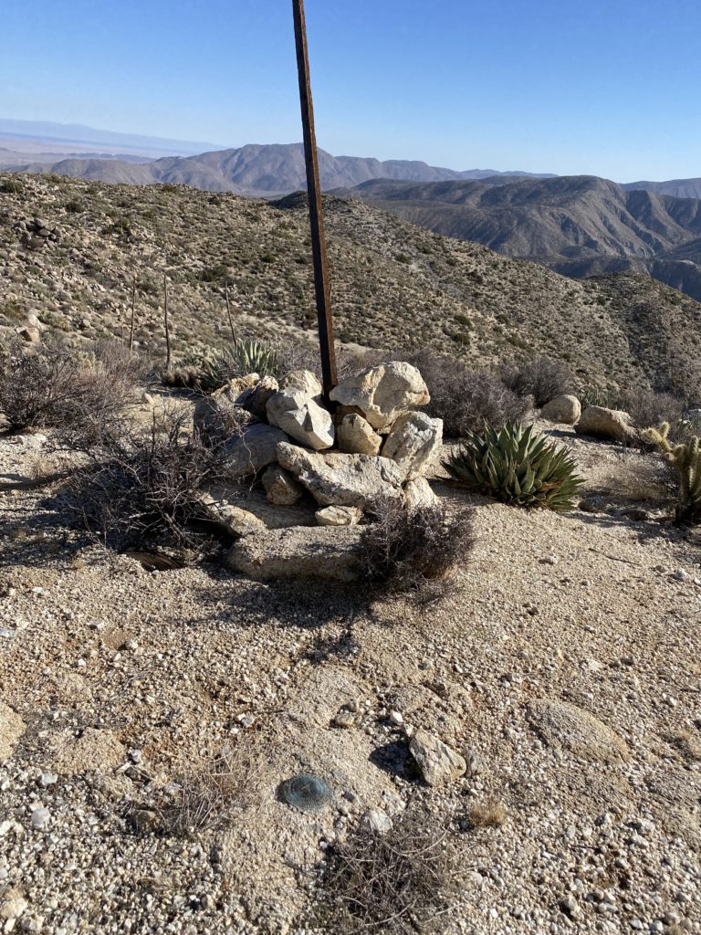
We took the left fork of the fading wash for a bit before just tackling the summit straight on. After the steep climb, we reached the summit.
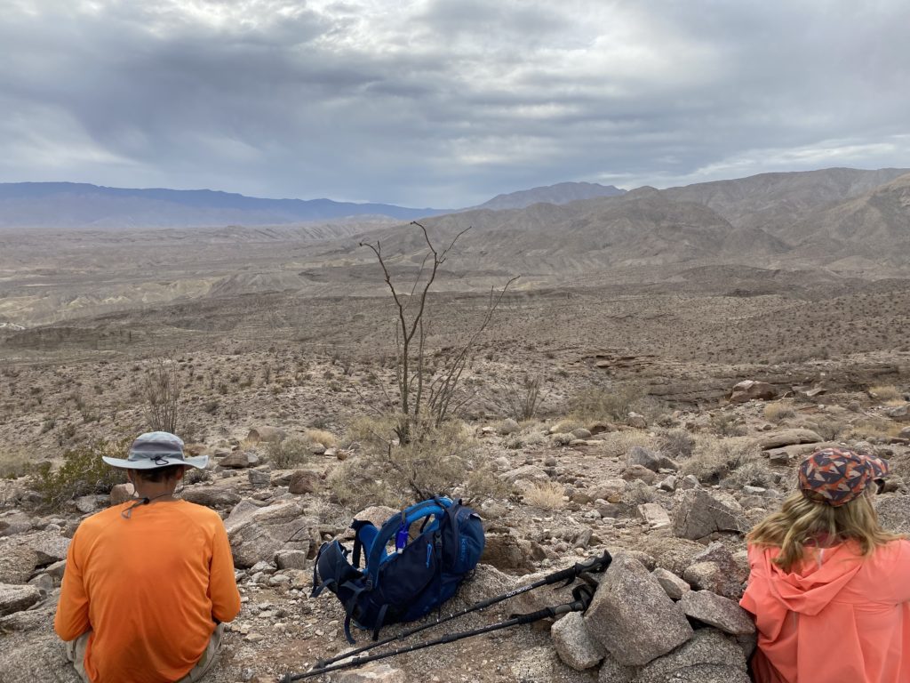
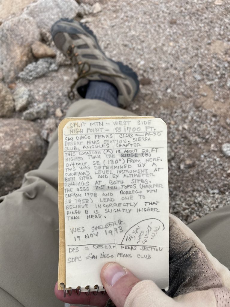
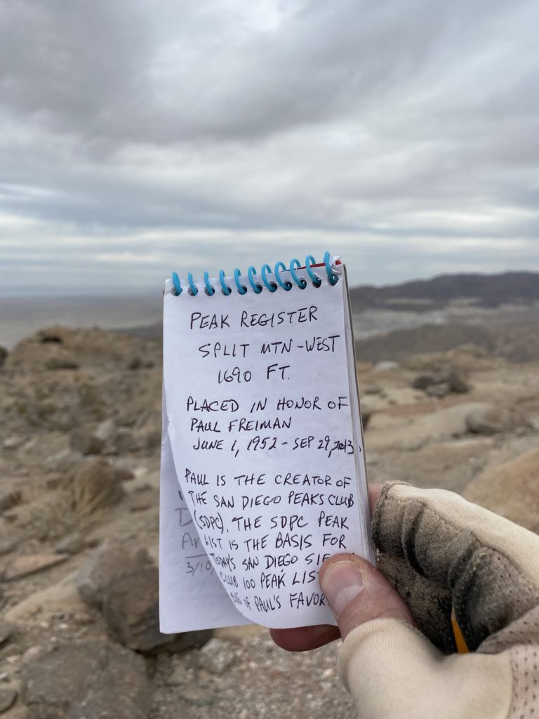
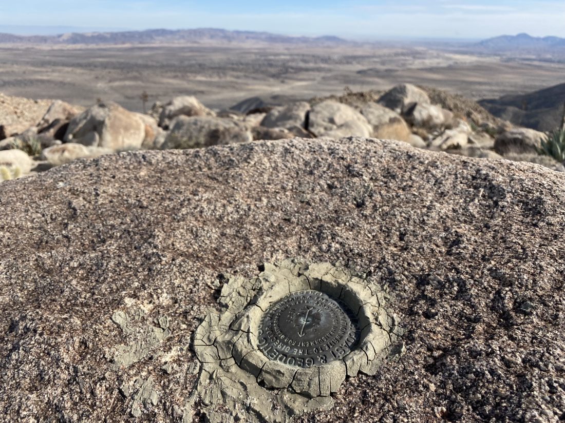
We took a short break, grabbing a snack, signing the register and snapping our photos. Once we were ready, I led the group back down from the summit. This time I headed due east to intersect the gully we exited earlier. It really did not make that much of a difference. We cruised back down the wash, keeping an eye out for the couple of dry falls that would need to be bypassed. One of the falls, I did elect to downclimb, but Ted and Susie opted to bypass it.


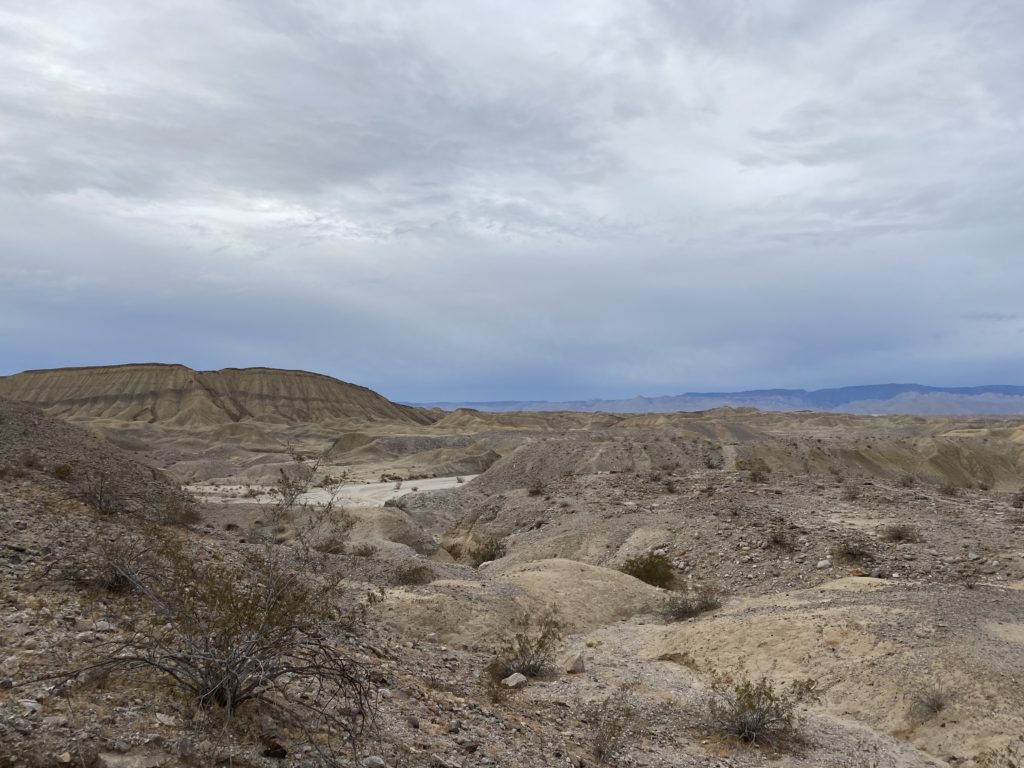
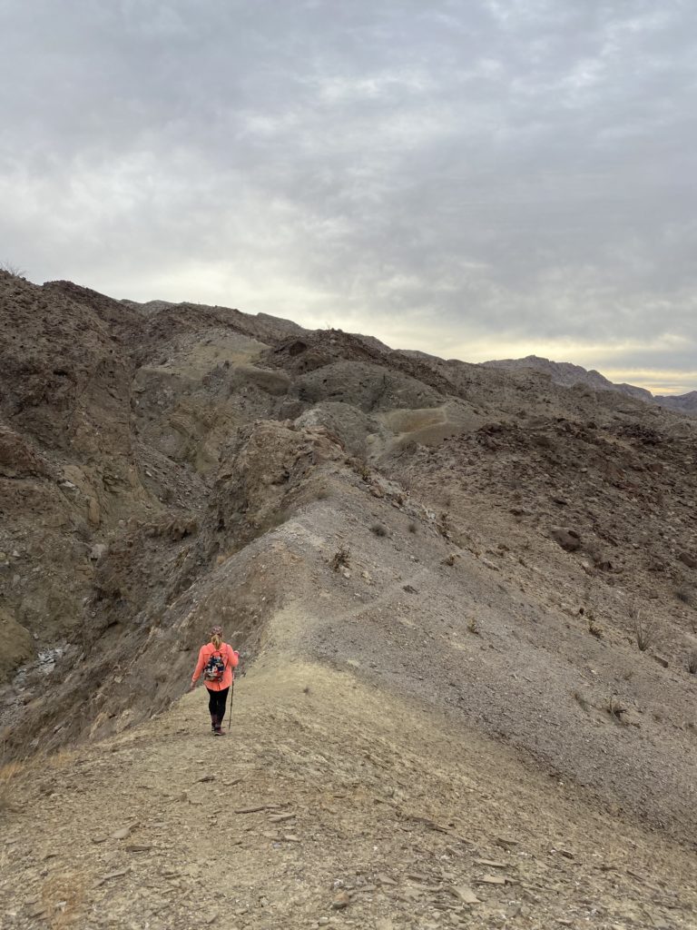
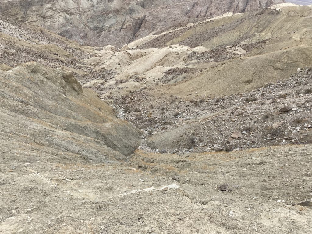
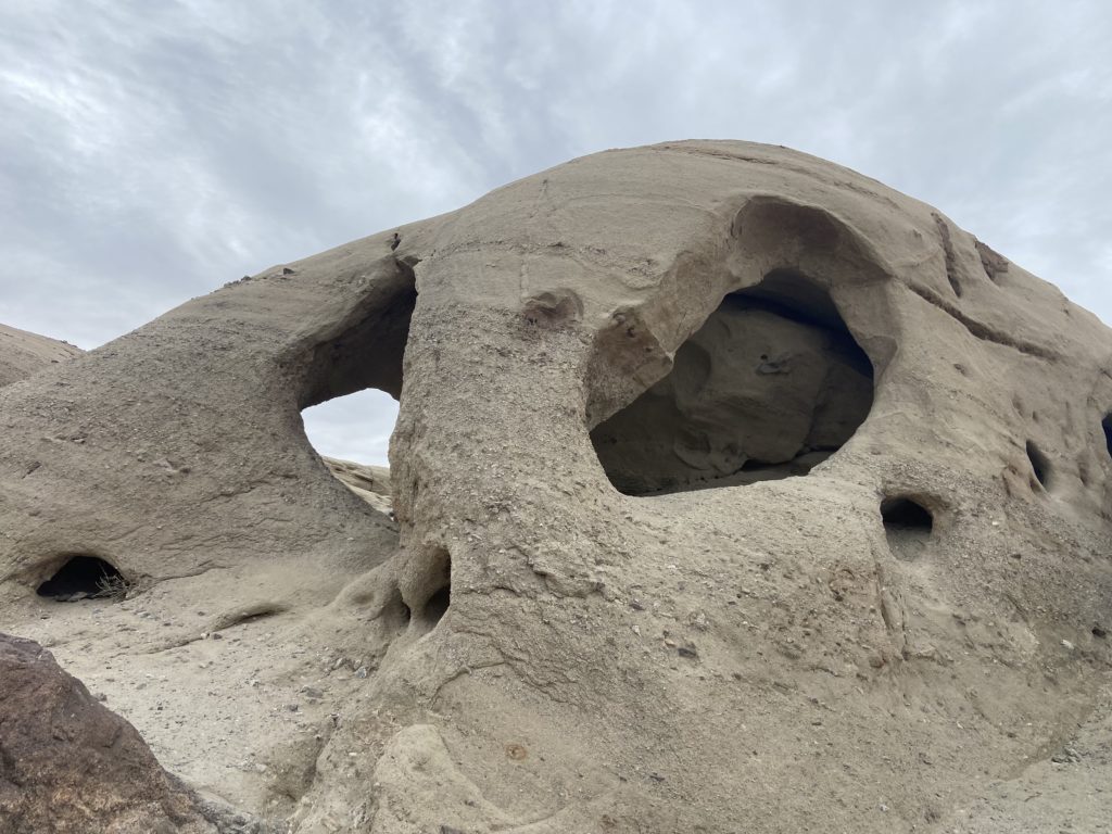
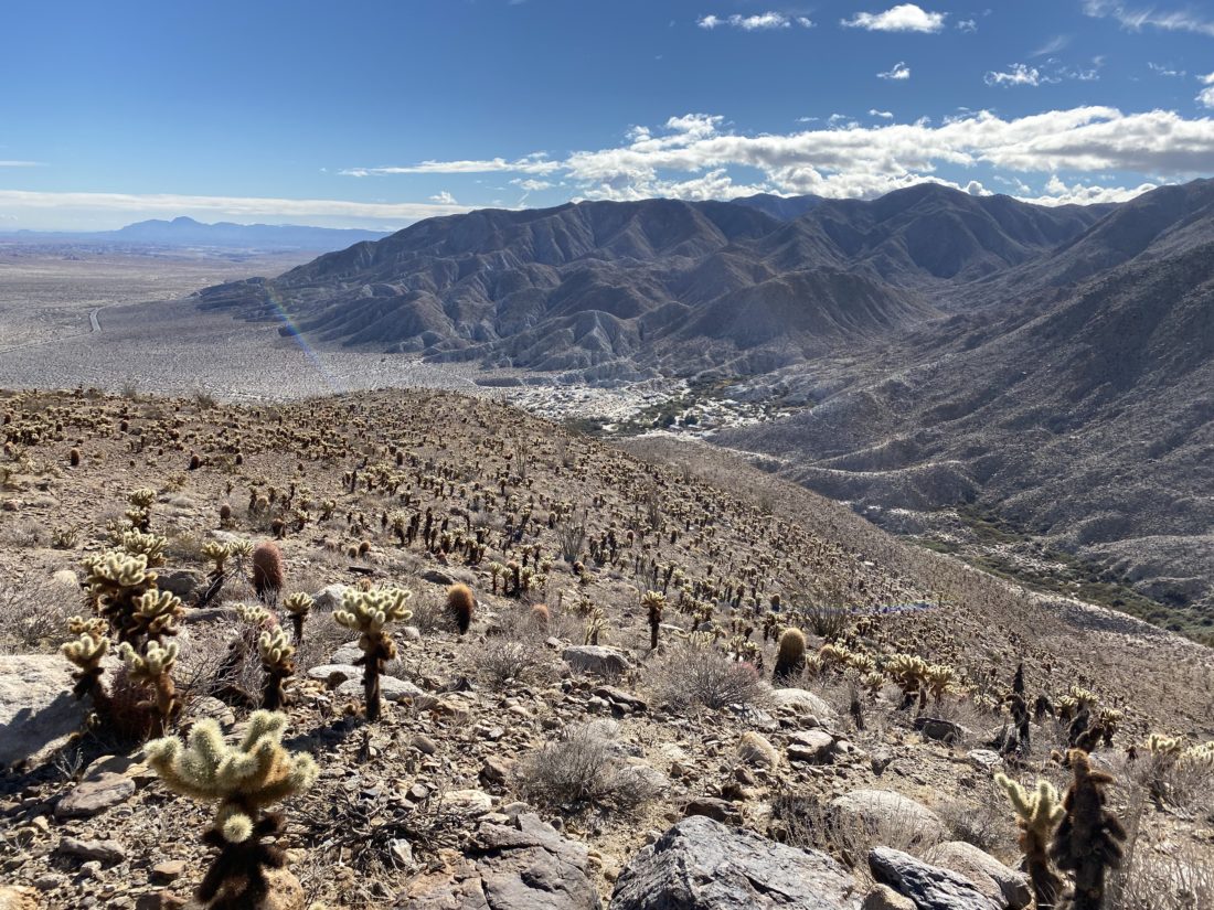
We missed our exit marker just a little bit, but still found a nice route out of the wash. Susie had brought her partially broken pole, so we would need to share one of my poles on this descent. We slowly and extremely carefully made our way down the slope. I remembered how much we all hated it the first time, and I still hate it. Susie and I commented that if we ever return, we might spend some more time exploring other options for this section. There is another peak near the one we submitted that used to be on the San Diego Peak Club list that we might climb one day. Plus, the wash is filled with tons of interesting geology, and it would be nice to explore without a time constraint. Although I have yet to spot any Oyster Shells embedded in the walls!
Once back at the car, I drove us out as the light was fading, making it back onto the pavement just at sunset. Another great day in the desert. I logged the hike at 3.7 miles in 3:36 with 1,040 feet of gain. Susie and Ted tracked a longer distance, a good reminder of the differences in tracking devices.


I am an avid peak bagger, sometimes backpacker, and former sea kayaker living in San Diego. In 2019, I became the third person to complete the San Diego 100 Peak Challenge. Not stopping with that accomplishment, I set my sights on the harder San Diego Sierra Club 100 Peak list, which I completed in 2021. In addition, I have conquered several Six-Pack of Peaks challenges (SoCal, San Diego, Central Coast, and Arizona-Winter). Beyond attempting the San Diego Sierra Club 100 Peak list a second time, I am looking forward to exploring new summits and new adventures across the southwest.