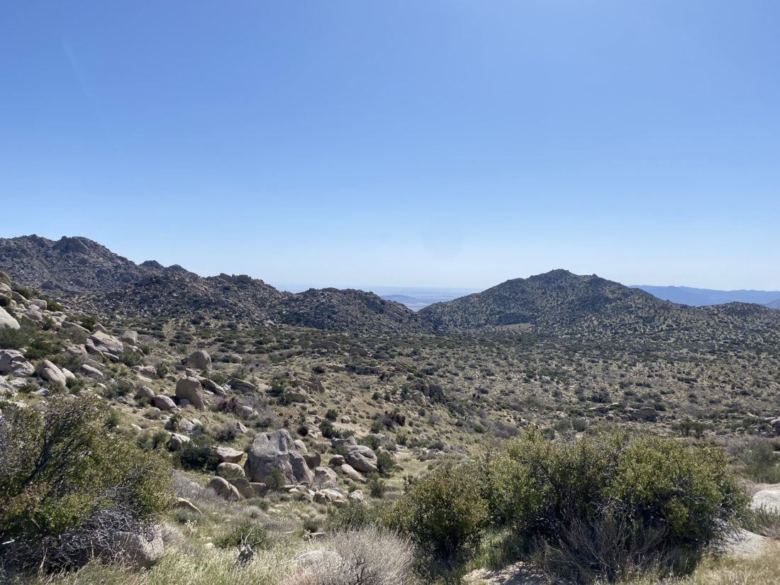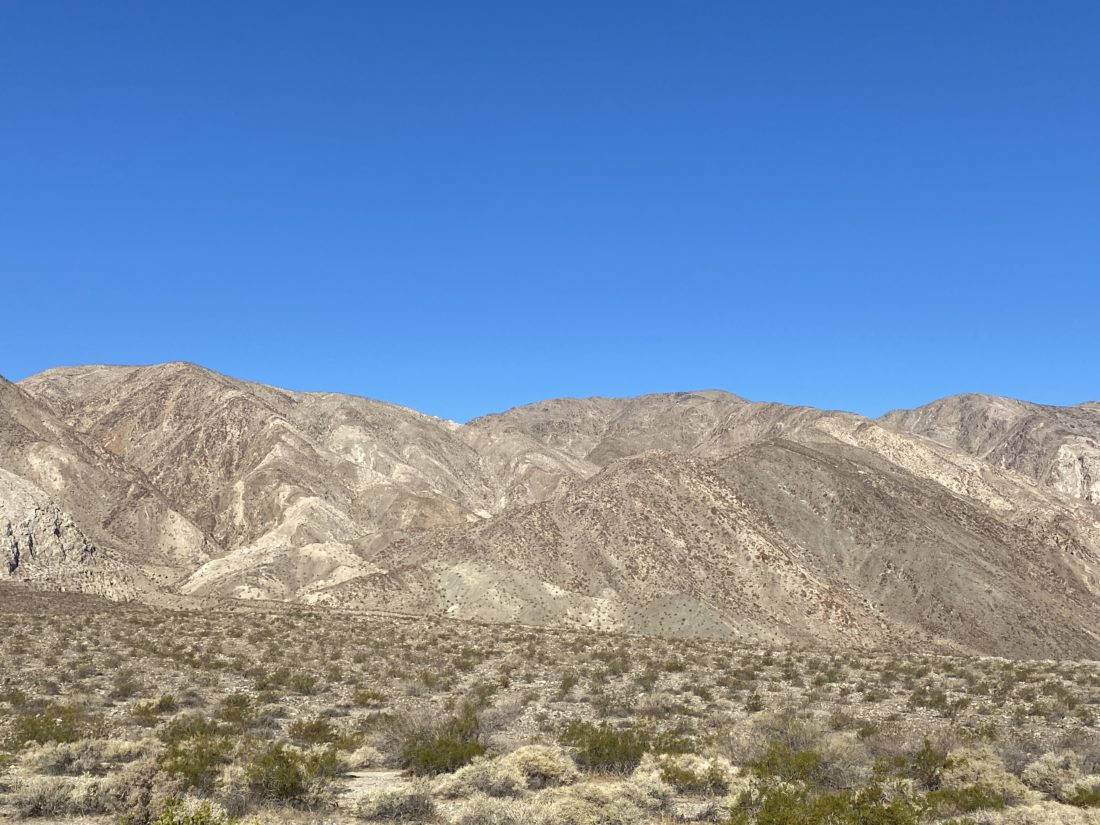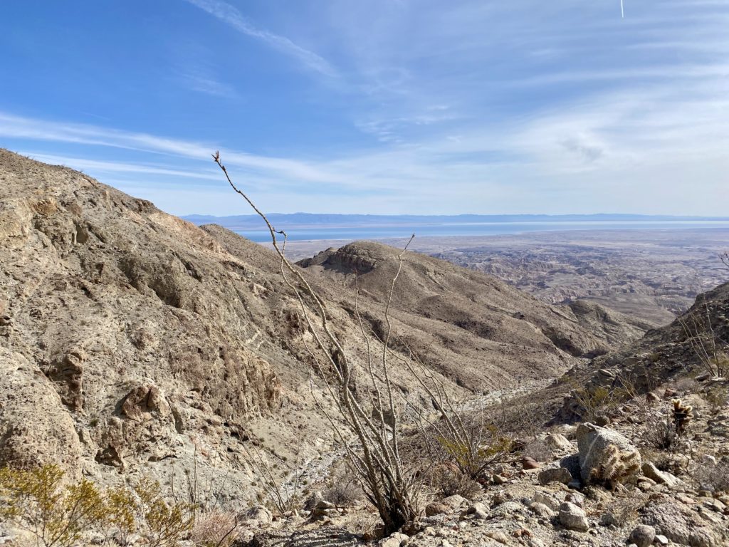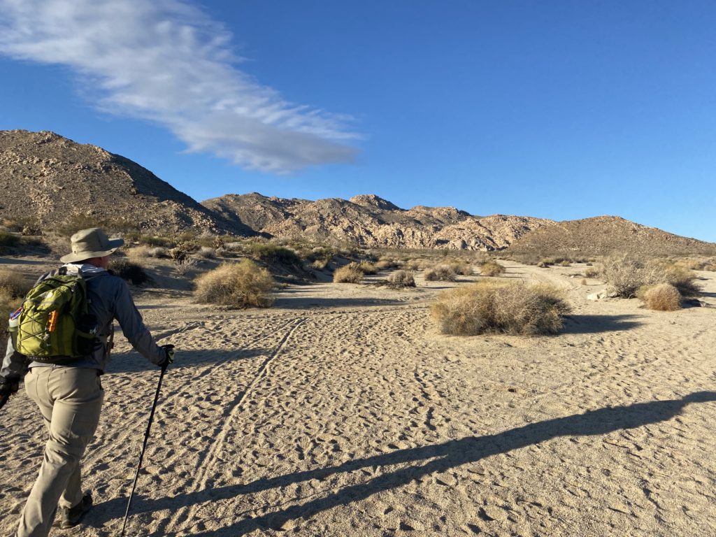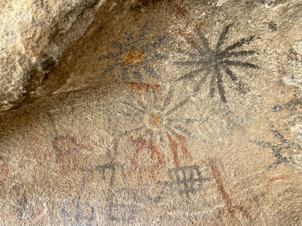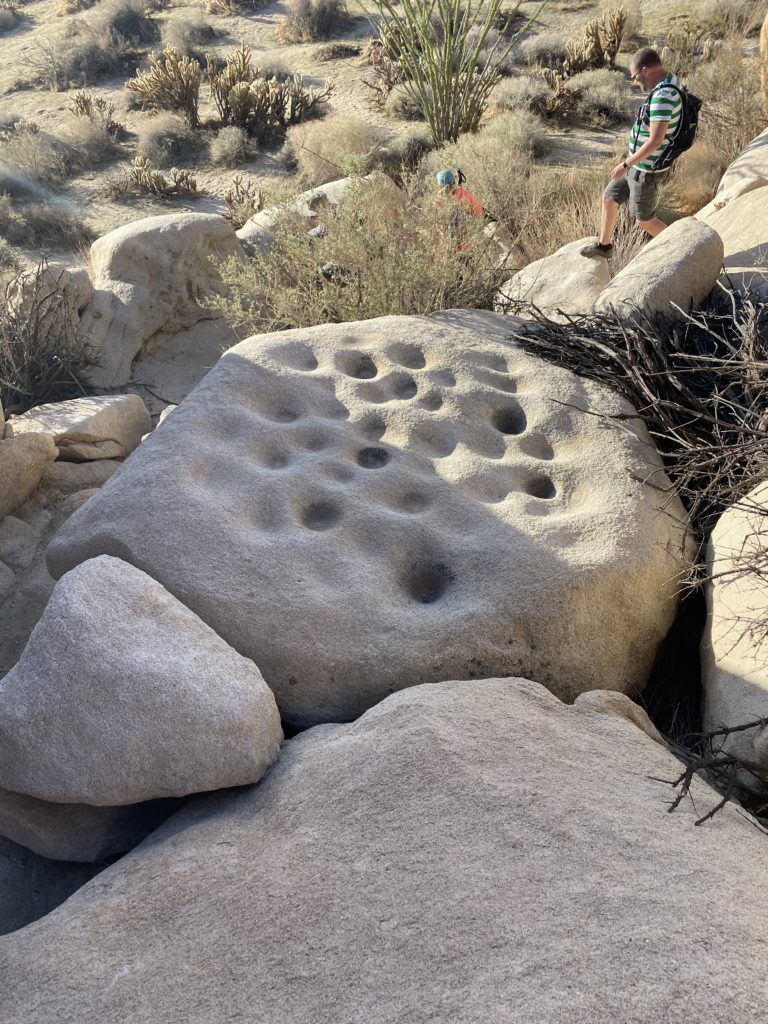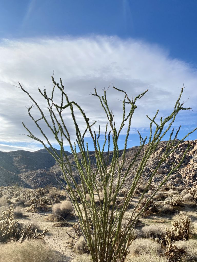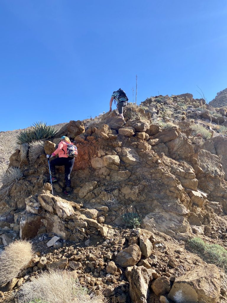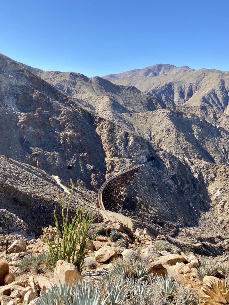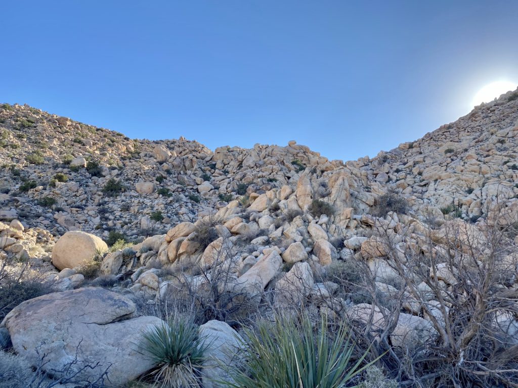
I had pretty much written of any more peaks on the San Diego Sierra Club 100 list this desert sI had pretty much written off doing any more peaks on the San Diego Sierra Club 100 list this desert season but much to our surprise we had some nice weather here at the end of April, so Susie Kara and I decided to knock Sunset off our to-do list. We had done this hike with Matt Bennett back in January 2020. While the actual distance from the trailhead to the summit isn’t that far, this hike is one of the more challenging ones on the list. We drove out to Anza Borrego turning onto Pinyon Wash and drove down the rather nice dirt road back to a good spot to pull over and park the Subaru. Off to the east loomed Sunset Mountain. We gathered our stuff and set across the flat desert floor to the start of the grueling climb. We had a few cactus flowers scattered along the way offering a little bit of joy to offset our climb. The route up is basically a straightforward assault on the mountain. Both Susie and I remembered how much we disliked climbing a mountain due to a large amount of poor footing. We carefully worked our way up the very steep slopes to the first minor, and I stress, MINOR plateau and had a short breather. We had gained almost 700 feet in just over .2 miles. Neither one of us was looking forward to descending this section.


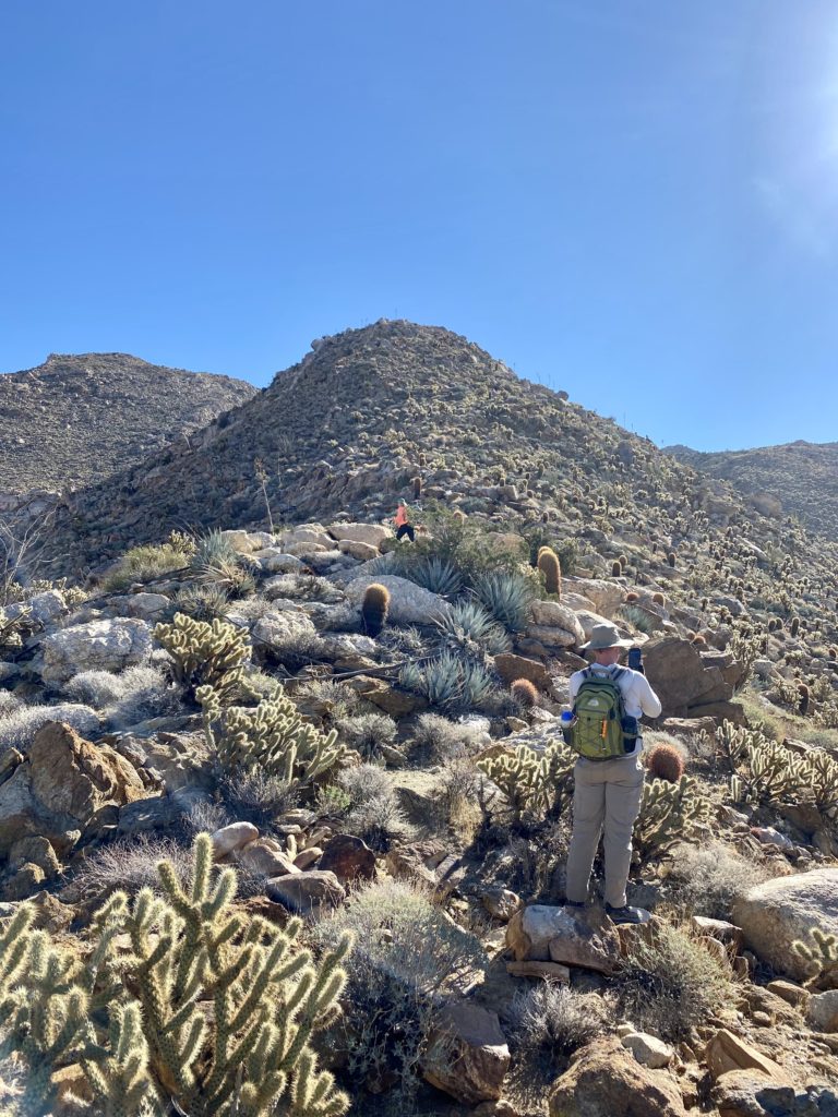
We checked our location against our previous route, and we were basically right on track. Since We checked our location against our previous route, and we were basically right on track. Since there is no defined trail, it is up to you to plot your route up the mountain, hoping to follow the easiest path you can see. I led us up the steep slopes ever closer to the summit. So far, my route finding had been going well. I would like to think all this time in the desert has helped improve them.


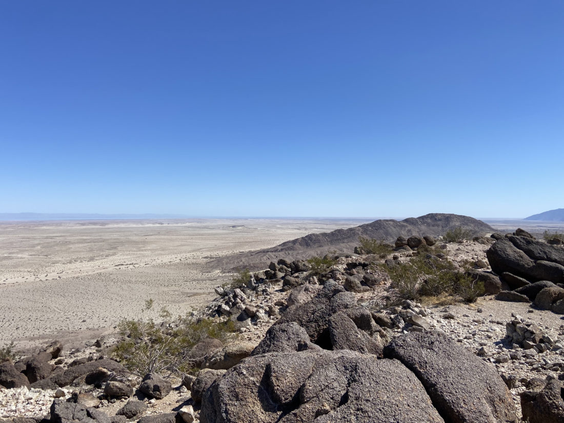
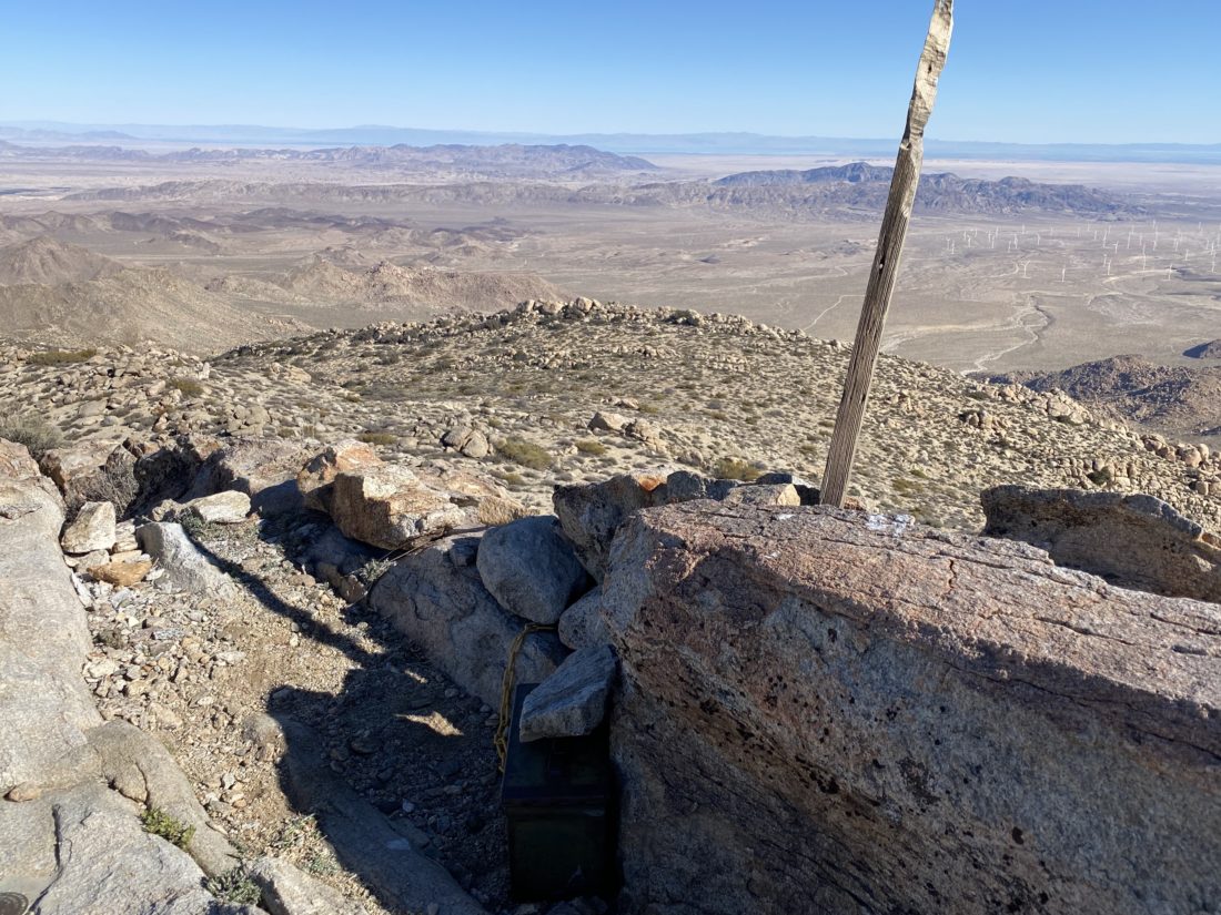
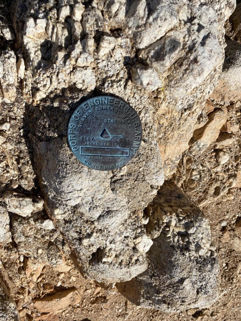
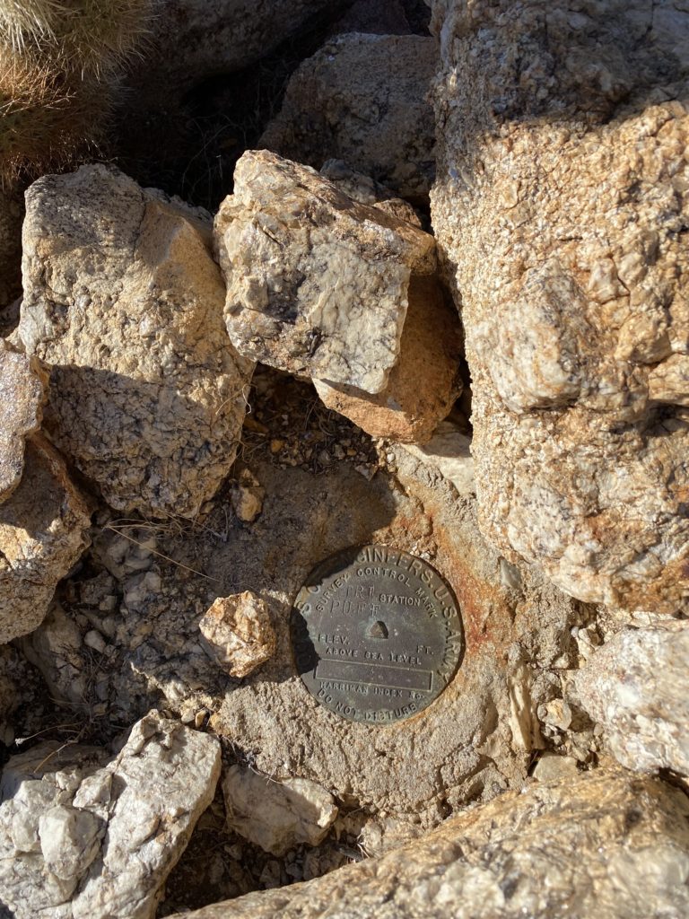
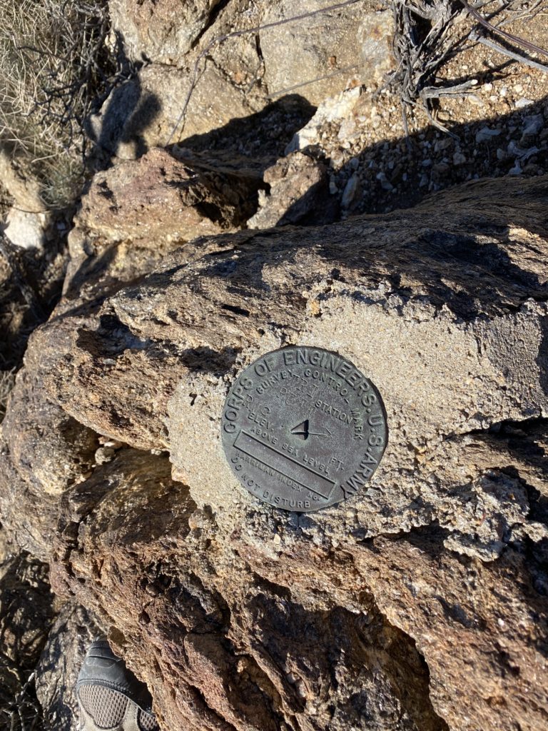
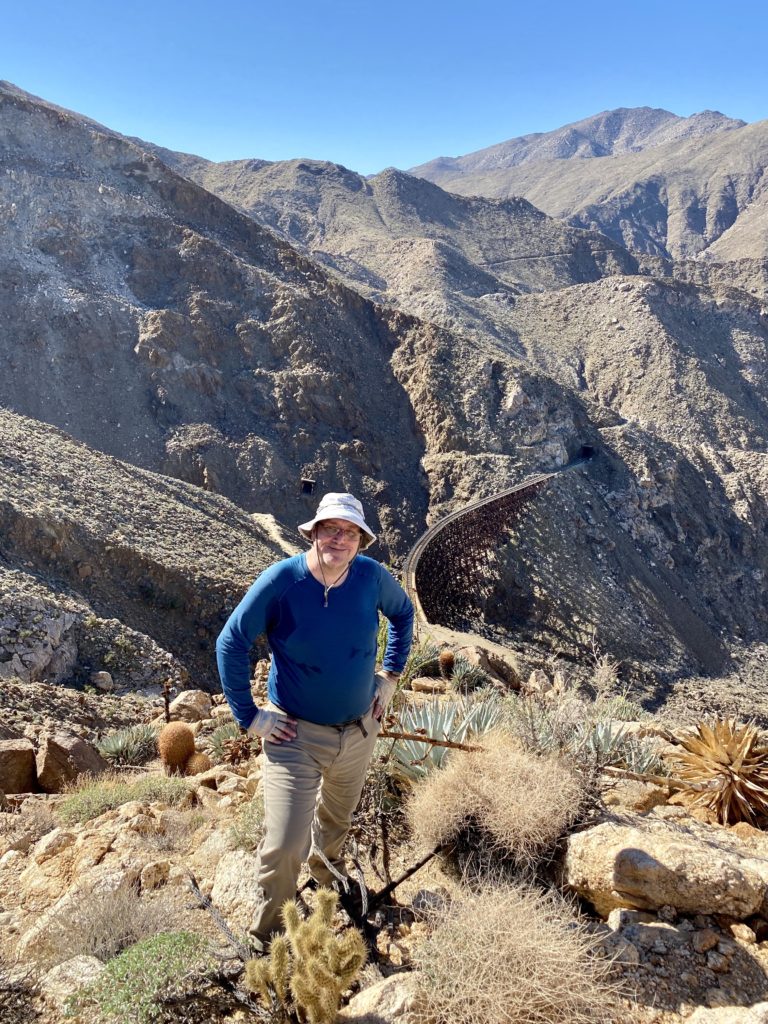
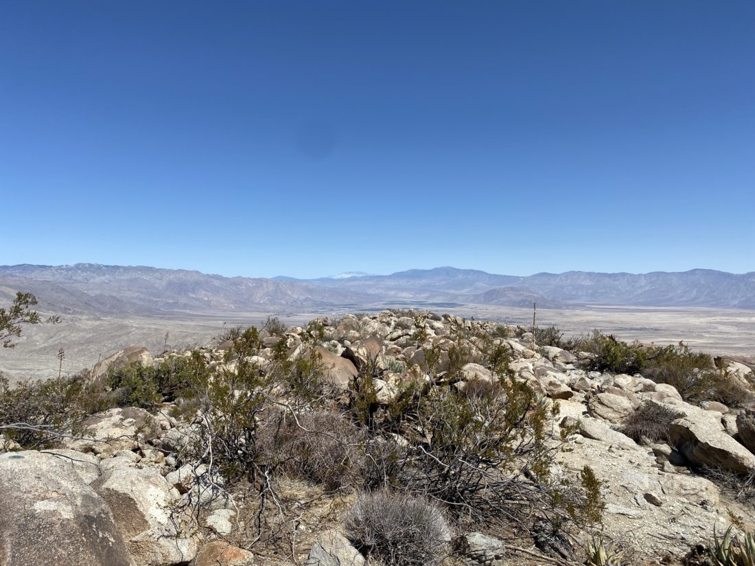
Soon we reached the last bit of the climb and pushed on. Susie had the lead, as I did pick a slightly slower section that I had Susie skip. After hopping over the rocky summit, there stood the wooden post denoting the summit. The register can was tucked next to it. The benchmark, stamped as Yak, was also right there. Off to the east and west were two reference marks as well. We took a short break and did all the usual summit activities before heading back down.


I had parked near a couple of smoke trees that grew next to the main road. This gave us a great landmark to keep aiming toward as we slowly and carefully worked our way back down. Last time when we climbed this peak, our descent time was longer than our ascent.


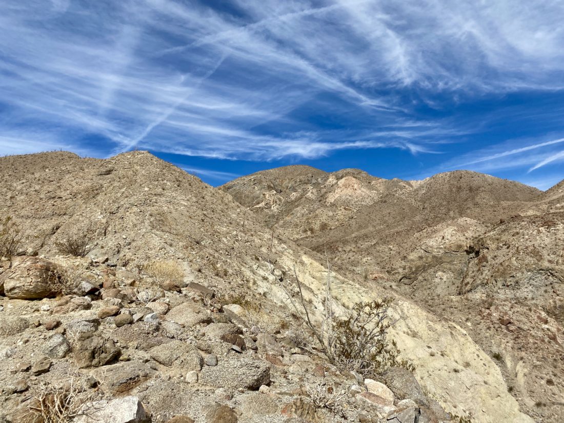
As we neared the bad section, we made the call to take the gully that was to our south instead. While we still had a steep and difficult descent to reach it, we felt once in it, our stress levels would ease. Susie and Matt took that route last time while I stayed on the same route I used going up. I did have one large rock break out from under me, we made it safely to the gully. While it was rocky, there was nothing that posed any challenges. In fact, we had a couple of sections that we just slid down. Who doesn’t like a nice slide!?


The gully opened back onto the desert floor, and we began weaving through the various pointy plants scattered across the landscape. Once back at the car we were glad to be done with this peak. The entire hike was just 3.6 miles, but we gained over 1,970 feet. And to further add to that, the first 1/2 mile was mostly on the flat desert. Our complete time was 5:09, including our breaks. It was a touch slower than last time, but we were without the awesome route-finding skills of Matt. Just 21 more to go!


I am an avid peak bagger, sometimes backpacker, and former sea kayaker living in San Diego. In 2019, I became the third person to complete the San Diego 100 Peak Challenge. Not stopping with that accomplishment, I set my sights on the harder San Diego Sierra Club 100 Peak list, which I completed in 2021. In addition, I have conquered several Six-Pack of Peaks challenges (SoCal, San Diego, Central Coast, and Arizona-Winter). Beyond attempting the San Diego Sierra Club 100 Peak list a second time, I am looking forward to exploring new summits and new adventures across the southwest.