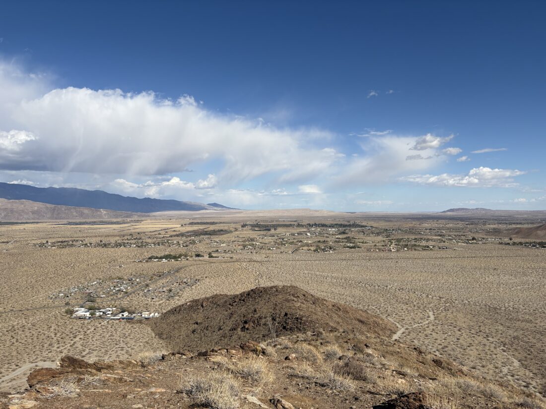
With the successful summit of Kay Benchmark behind me, I headed into Borrego Springs for a burrito. After that, I drove over to Center Market and got a sandwich for dinner and then headed out for McCain Springs. This was the planned camping spot, before hiking to Vallecito Mountains High Point. I had ridden out here a few months back in my friend Dave’s Rubicon, scouting if the trail conditions could be handled by my Subaru. Overall, we felt it looked doable. So, I left the paved road and headed down Fish Creek Wash. This section gave me no worries, as I had driven it multiple times, but as I passed the spot where my son and I had car camped, the uncertainty rose. I continued on, recalling a few of the slightly touchy spots. One obstacle did take two attempts to get over, but the rest was smooth sailing. Soon, I reached the junction to McCain Spring and drove to the end. I had feared that the site might already be taken, but I had it to myself. I set up camp, in no rush as I had plenty of daylight. Enjoyed my sandwich and beer, and as I looked across the desert, it was peaceful as the sun set behind the hills. I set out to make a fire for the evening, but in chopping the wood, the axe nicked my finger. Thankfully, I had taken the “Stop the Bleed” course from Kit Fox Outfitters and handled the minor wound. With that issue addressed, I finished preparing the fire and sat back and enjoyed the flames. As the fire burned itself out, I crawled into the Subaru for some well-earned rest.


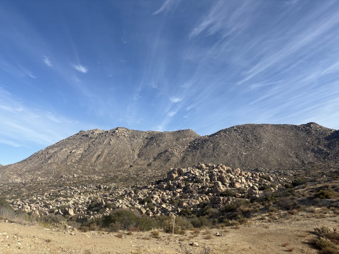
I awoke around 6:30 and enjoyed a hot cup of coffee, some oatmeal, and a cold bottle of OJ. Once I had repacked the car, I gathered my gear to set off toward the peak. As I climbed over the small saddle, I soon found the ridge that I would follow for a bit, again dodging and weaving around the cacti towards another saddle. Following the route our group used last time, I ascended a boulder-filled slope. I actually spotted a few cairns at the beginning but quickly lost them, so it was a typical “choose your own adventure” type of ascent. Once up and over, I worked my way down toward the wide flat before me and onto the drainage path.


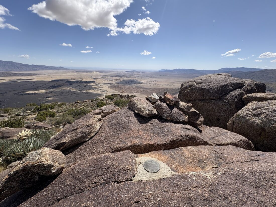
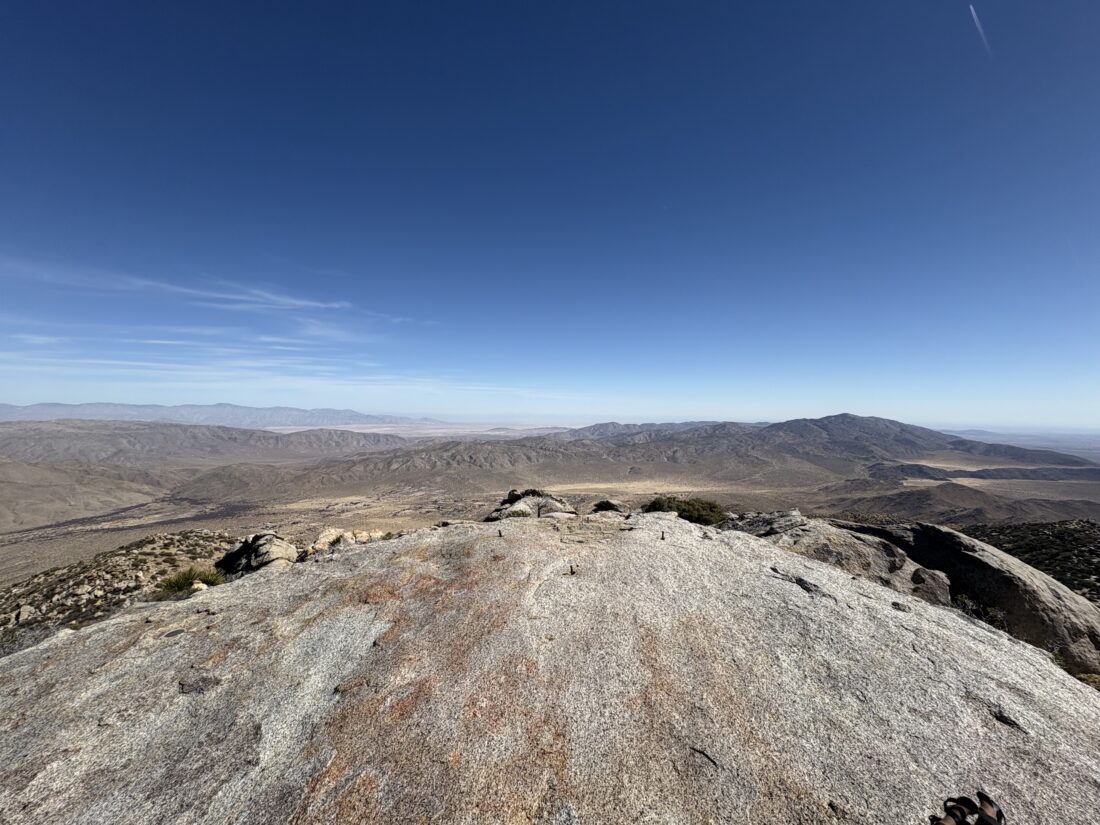
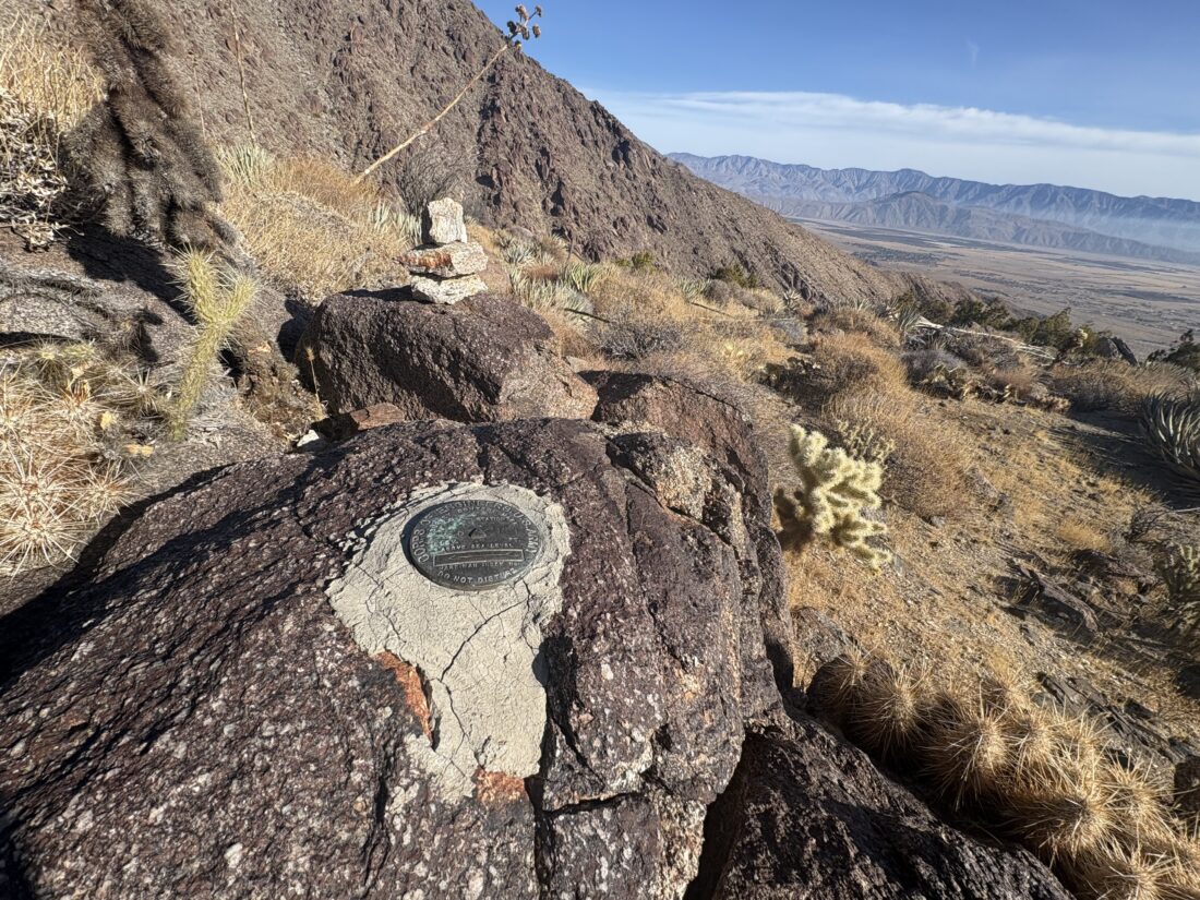
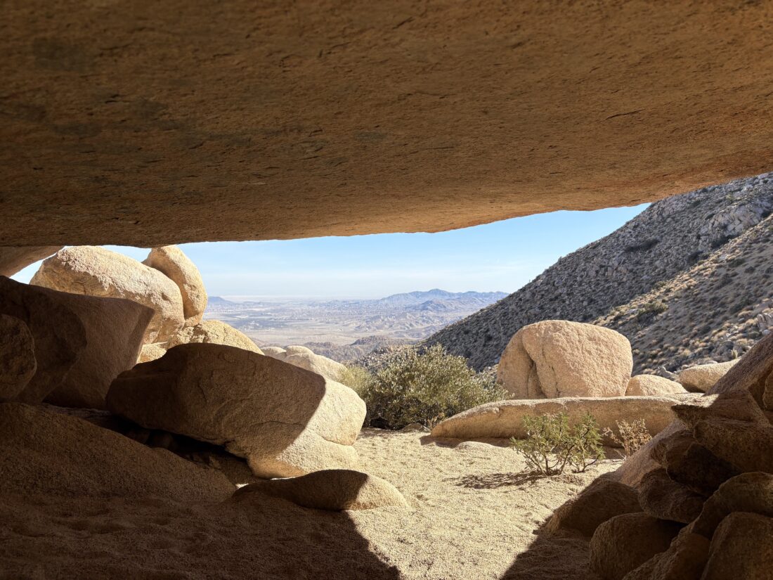
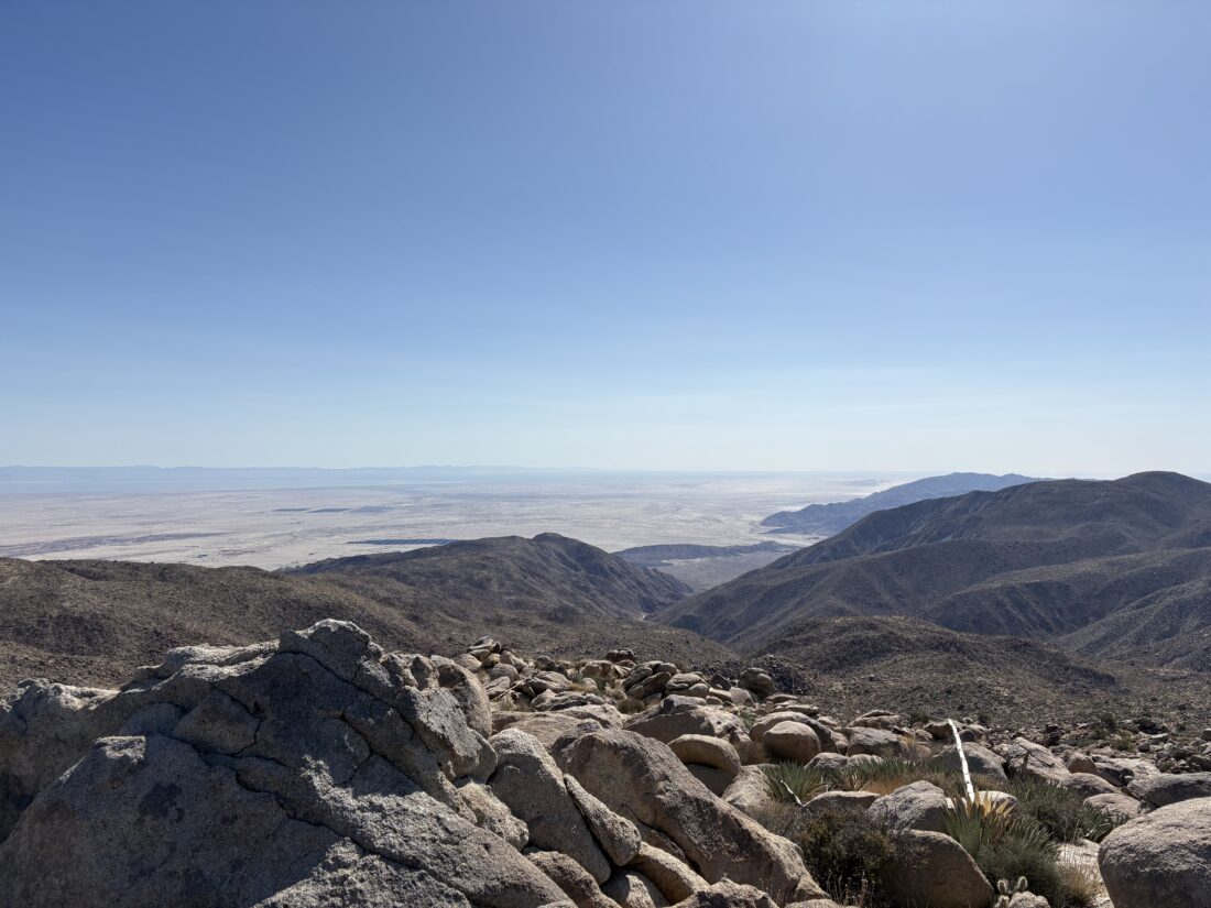
Now the hike moved into cruise mode for a while, as I headed north toward the next section of the climb. As the drainage came to an end, I stared at the rock-filled slope, trying to scout a route up. Vallecito Mountains High Point is hidden behind a false summit, so even as I drew near to the top of this peak, I knew I was not done with my climb. I worked my way down toward the saddle, then began the real climb to the summit. Soon, I was standing atop Vallecito Mountains High Point. I signed the register and enjoyed a well-earned rest. I snapped a few photos and geared up for my descent.


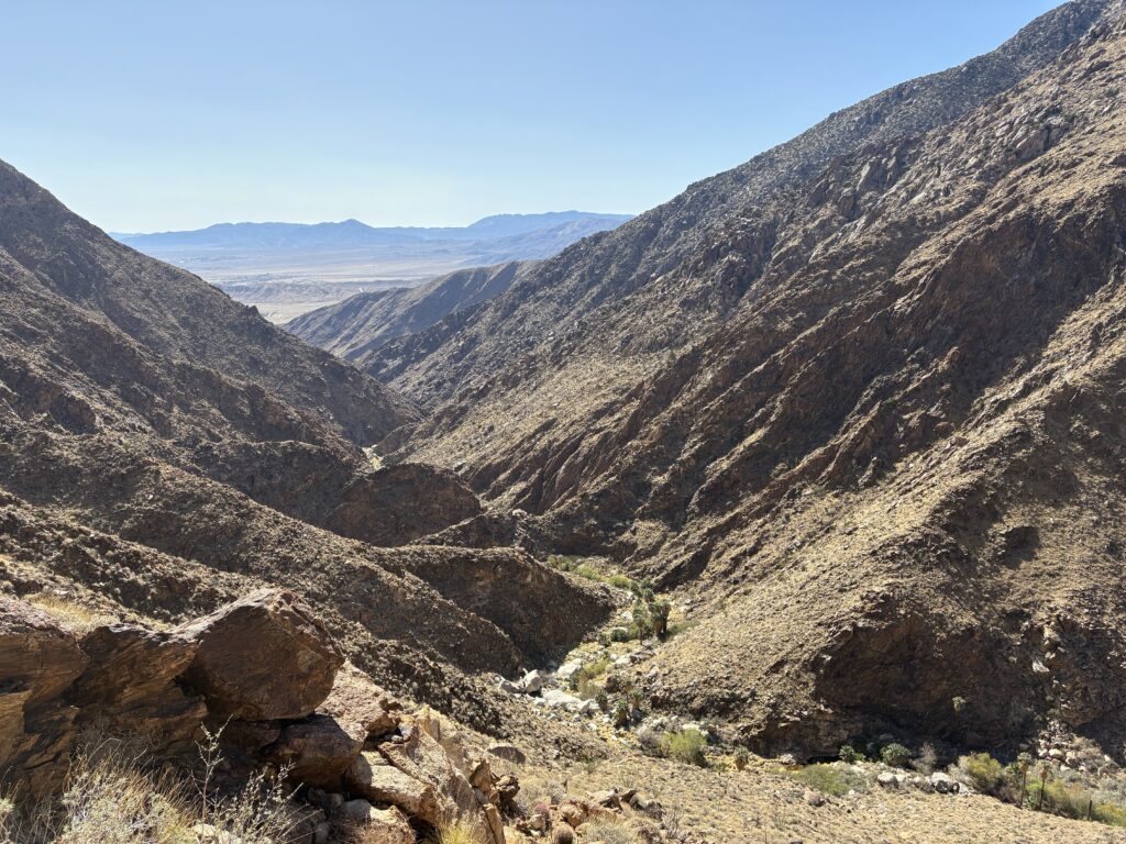
Carefully, I worked down the face of the peak, occasionally having to back-track if the route became unclimbable. Slow and cautious was the order of the day. Soon, I was back on the drainage and once again cruised along. Now, I had a choice to make: follow the same route Carefully, I worked down the face of the peak, occasionally having to back-track if the route became unclimbable. Slow and cautious was the order of the day. Soon, I was back on the drainage and once again cruised along. Now, I had a choice to make: follow the same route back, which included another “fun” climb, or explore following the drainage all the way out. There were no reports of anyone trying this route on Peakbagger, but the satellite imagery made it appear doable, with just one section in the middle that might be an issue. At the spot where I would have made my U-turn to follow my ascending route, I continued on the drainage. I spotted some footprints in the sand, so someone tried this route not too long ago.


Initially, the route stayed the same as it turned westward. After a bit, I reached that rocky section that I spied from the satellite imagery. I worked my way through the rocks, usually staying along the main drainage route. Occasionally, I took a short slide down the smooth, water-worn rocks. I was glad to be descending through this section, as it was nice to have gravity on my side. After a while, the drainage opened back up, and I was once again cruising on the sand. When the drainage turned south again, I made a short climb over a small rise, then crossed the flat desert back to the road. Soon, I saw the sun glinting off my car, telling me that I was almost done. The entire loop covered 6.2 miles in 4:45 with 1,185 feet of elevation gain. As to whether the route through the drainage was better, I am not sure, but I do know that I would not use the drainage for the ascent portion.


I am an avid peak bagger, sometimes backpacker, and former sea kayaker living in San Diego. In 2019, I became the third person to complete the San Diego 100 Peak Challenge. Not stopping with that accomplishment, I set my sights on the harder San Diego Sierra Club 100 Peak list, which I completed in 2021. In addition, I have conquered several Six-Pack of Peaks challenges (SoCal, San Diego, Central Coast, and both the Arizona-Winter and Arizona-Summer). Beyond attempting the San Diego Sierra Club 100 Peak list a second time, I am looking forward to exploring new summits and new adventures across the southwest.