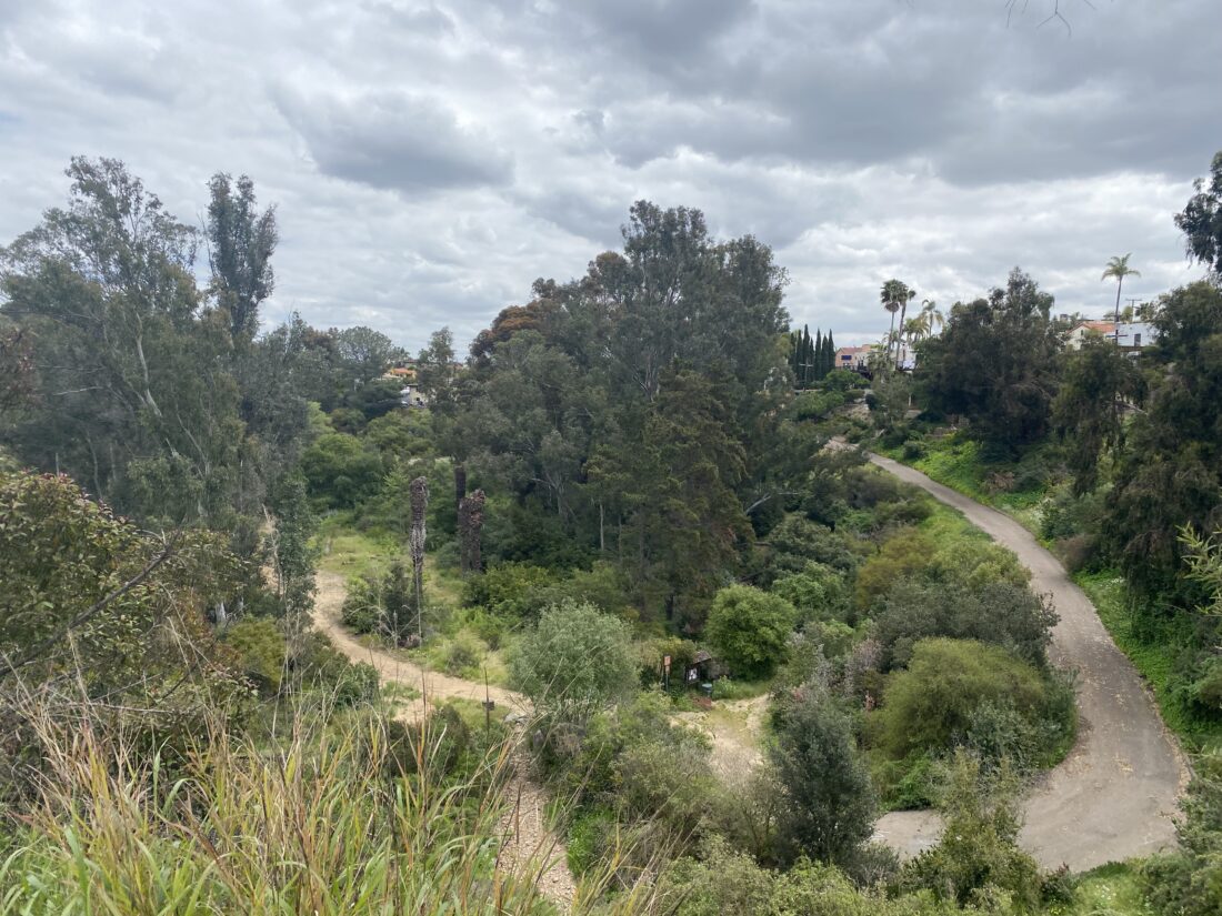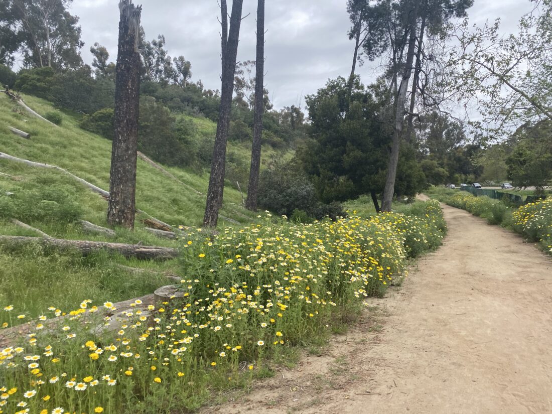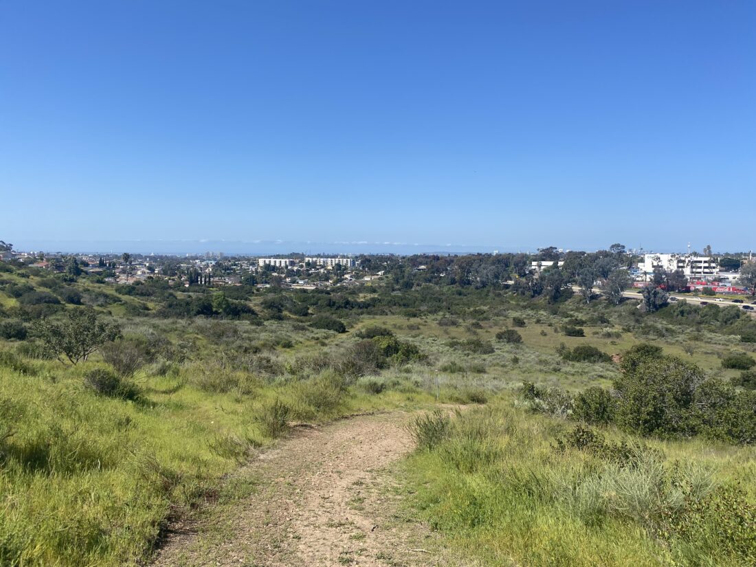
We still had some gas in our legs after hiking Rice Canyon, so we opted to explore Ruffin Canyon in Serra Mesa. The trailhead was next to Taft Middle School and began by wandering through a small garden before passing by the school and then dropping into the canyon. Wooden stairs helped guide us down the canyonside. After ducking under some overgrowth, the trail kept working its way south.


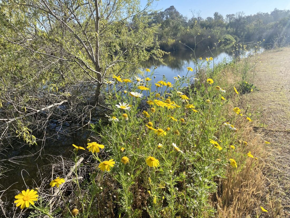
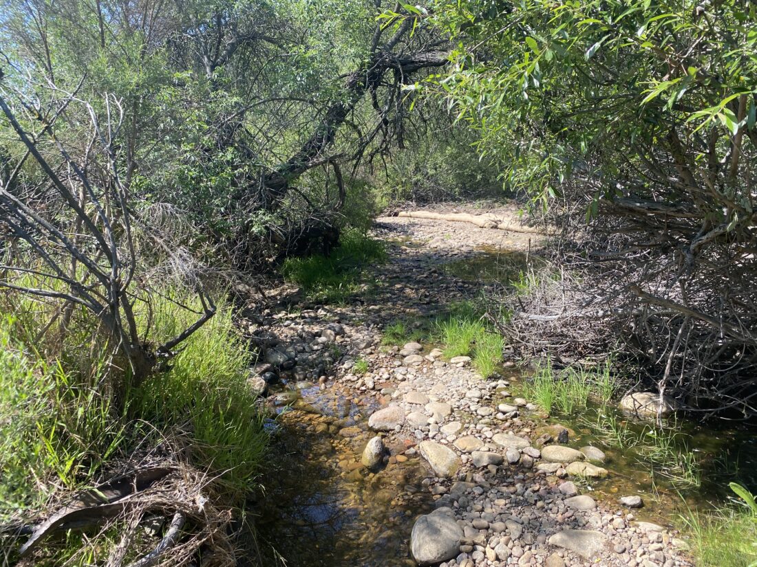
Finally, we came to the canyon floor and the trail became very rocky. This was common along canyon floors, but usually, the trail would leave the stream bed. As we kept pushing on, no such luck. Checking the map, we knew we were almost at the trail’s end, so we kept trudging along. Finally, we reached the northern end of Portofino Apts. Neither one of us had any desire to walk back up the canyon through those rocks, so we opted to hail a Lyft to take us back to the car. I know my ankles thanked me.


I am an avid peak bagger, sometimes backpacker, and former sea kayaker living in San Diego. In 2019, I became the third person to complete the San Diego 100 Peak Challenge. Not stopping with that accomplishment, I set my sights on the harder San Diego Sierra Club 100 Peak list, which I completed in 2021. In addition, I have conquered several Six-Pack of Peaks challenges (SoCal, San Diego, Central Coast, and Arizona-Winter). Beyond attempting the San Diego Sierra Club 100 Peak list a second time, I am looking forward to exploring new summits and new adventures across the southwest.