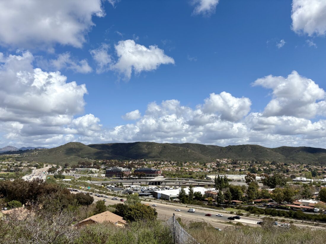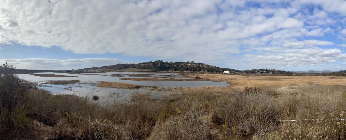
Continuing my theme of hiking new places, I decided to explore Gonzales Canyon. While I had hiked the Torrey Pine Loop Trail some years ago, this time, I wanted to hike the entire Lagoon Trail. I found street parking near Solana Ranch Park. That park is attached to an elementary school, so parking there is not allowed during school hours. I followed the trail back under the road to the west.


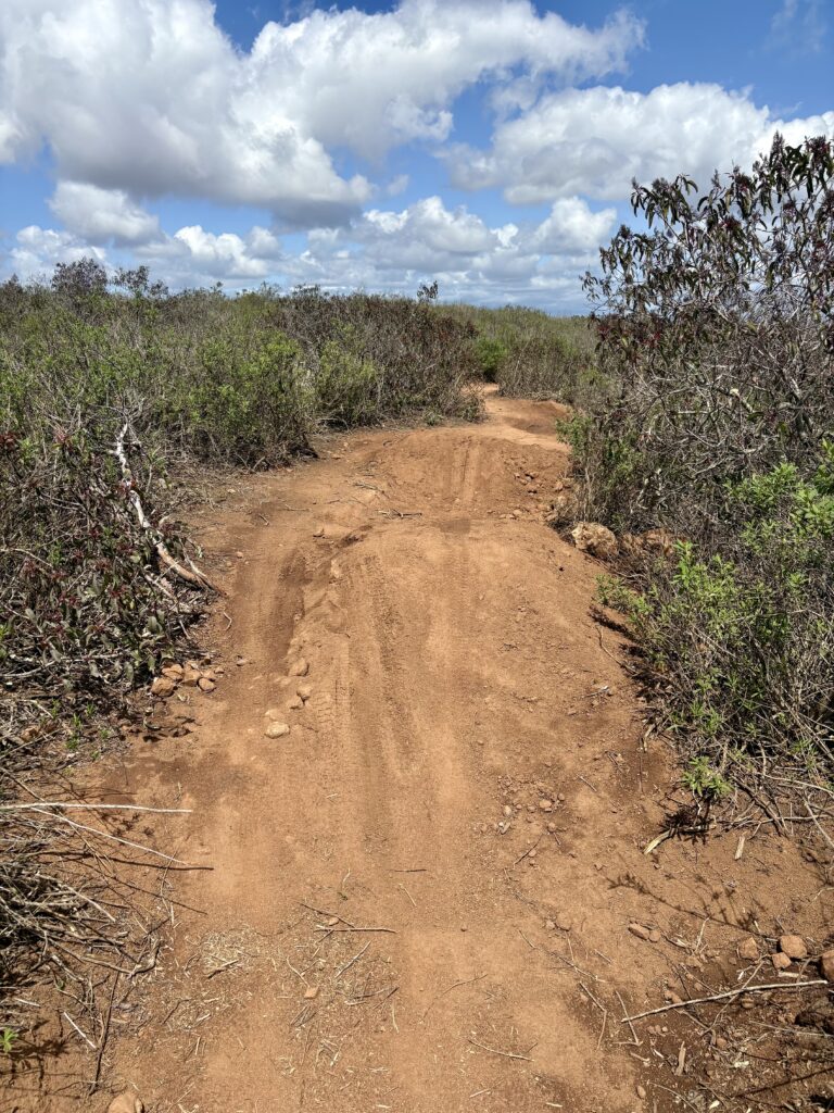
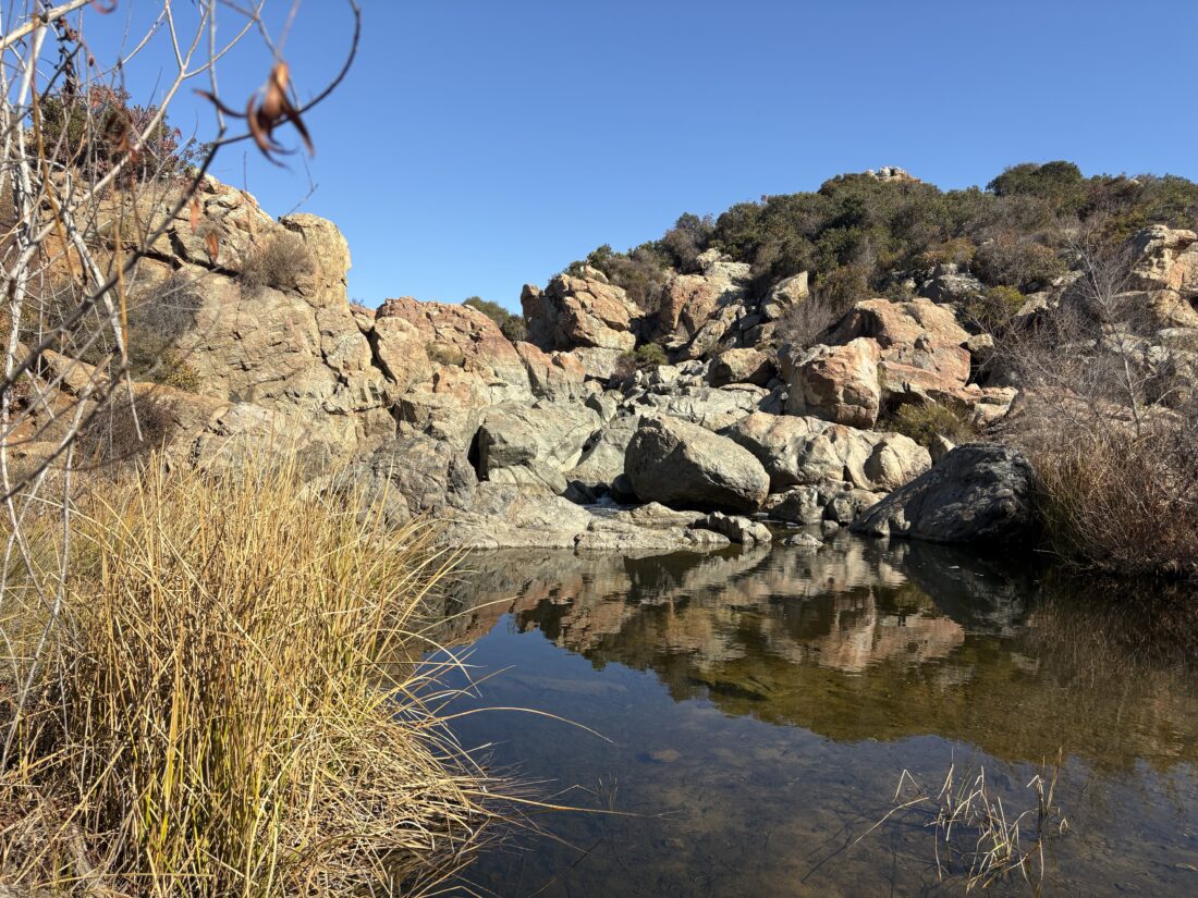
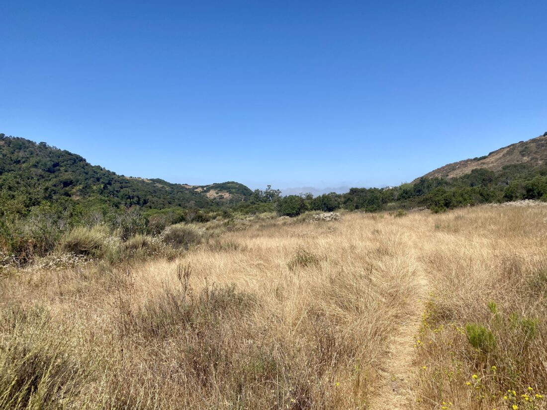
After about a mile along the service road, I came to the junction with the Lagoon Trail and the Sword Trail. I took the right fork onto the Lagoon Trail. This trail stayed on the northern side of the canyon as it continued westward. Signs warned of the encroaching poison oak that would line the trail in the shadier sections. The trail turned northward and made a few small climbs until I neared a collection of horse properties. At the access point for some power lines, I decided to begin my return.


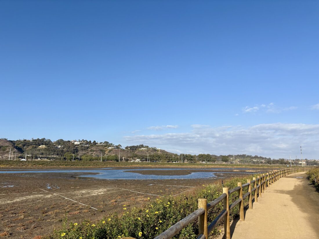
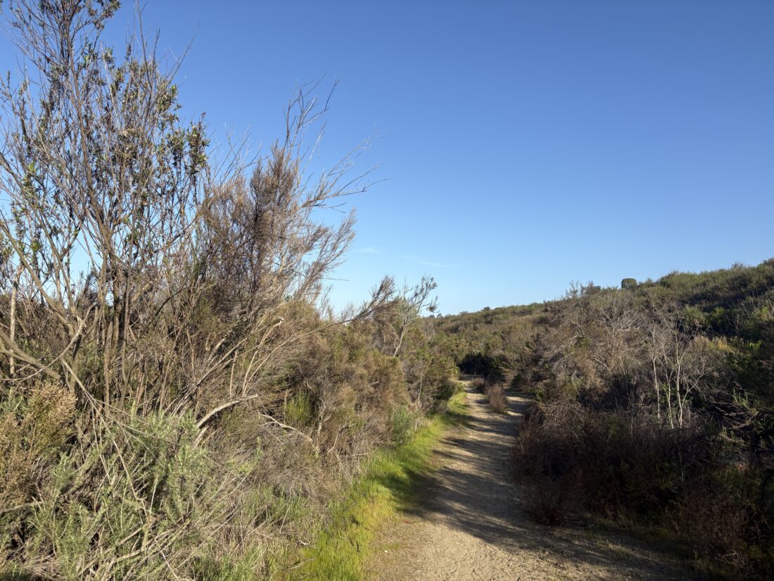
For my return, I opted to follow the Sword Trail, which runs along the south side of Gonzales Canyon. I passed by the connector to the Torrey Pine Loop Trail and continued eastward. I learned that this canyon is named after Levi Gonzales, a Portuguese farmer who owned the land in the 1800s. It is thought that his homestead was likely near one of the groves of eucalyptus trees. I continued cruising along the wide, flat trail, occasionally passing others enjoying a morning hike. I soon passed another trail junction, this time with the Cathedral Trail. This trail heads southward through a canyon toward Cathedral Catholic High School, of which I will need to come back and explore at a later date. Soon, the bridge came back into view, and my hike was over. I logged this hike at 5.3 miles and covered it in 1:46.


I am an avid peak bagger, sometimes backpacker, and former sea kayaker living in San Diego. In 2019, I became the third person to complete the San Diego 100 Peak Challenge. Not stopping with that accomplishment, I set my sights on the harder San Diego Sierra Club 100 Peak list, which I completed in 2021. In addition, I have conquered several Six-Pack of Peaks challenges (SoCal, San Diego, Central Coast, and Arizona-Winter). Beyond attempting the San Diego Sierra Club 100 Peak list a second time, I am looking forward to exploring new summits and new adventures across the southwest.