Kitchen Creek Falls

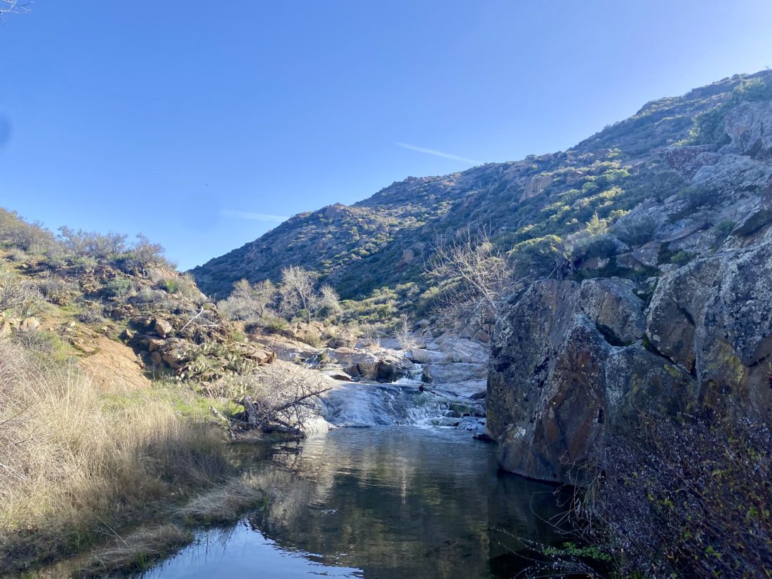
Since we just had some rain recently, I figured why not go see one of our few waterfalls? The hike to Kitchen Creek Falls seemed mild enough for my neck, so Ted and I headed out for the trailhead. We pulled into the parking area just before the Boulder Oaks campground, grabbed our gear, and darted across Old Highway 80. It was still a bit nippy as we cruised along the PCT. The trail took us under the 8 and then began the steady climb toward the falls. Soon we spotted our first NOBO hiker. PCT season had just started, so I fully expected to encounter a few while we were along the trail. We chatted with the gentleman from Florida for a bit. He was planning to hike as far as Kennedy Meadows. We bid him a good journey and continued on ours. 

A PCT marker denoted the turn-off down to the falls. We spotted a few empty campsites near the junction. The trail descended steeply toward the falls, which came into view fairly quickly. They certainly were flowing nicely.

We poked around the area, enjoying the sounds of the flowing water. There was a nice campsite on the other bank that would be lovely to pitch a tent on. But soon it was time to climb back up to the PCT and down to the car. Along the way, we passed quite a few folks headed to the falls. We also stopped and chatted with several more PCTers making their way northward. Finally, back at the car, we tossed in our gear, changed, and set off to Hess Brewery in Alpine for some well-earned pizza and a flight of their beers.


Buy Me a Coffee at ko-fi.com

I am an avid peak bagger, sometimes backpacker, and former sea kayaker living in San Diego. In 2019, I became the third person to complete the San Diego 100 Peak Challenge. Not stopping with that accomplishment, I set my sights on the harder San Diego Sierra Club 100 Peak list, which I completed in 2021. In addition, I have conquered several Six-Pack of Peaks challenges (SoCal, San Diego, Central Coast, and Arizona-Winter). Beyond attempting the San Diego Sierra Club 100 Peak list a second time, I am looking forward to exploring new summits and new adventures across the southwest. 

Rass Benchmark

We made the short drive down from the Pena Springs Trailhead to the Hellhole Canyon/Maidenhair Falls Trailhead. I slipped the $10 into the fee slot, while Ted used the facilities that those fees help fund. Four cars were in the parking area already. I wondered if they were hikers out to view the falls early, or were they out hiking some grander adventure? This is the same trailhead that we use when climbing up to Webo Benchmark. After grabbing our gear and snacks, we set off. Soon we reached the junction with the California Riding and Hiking Trail and began our climb up toward Rass Benchmark.

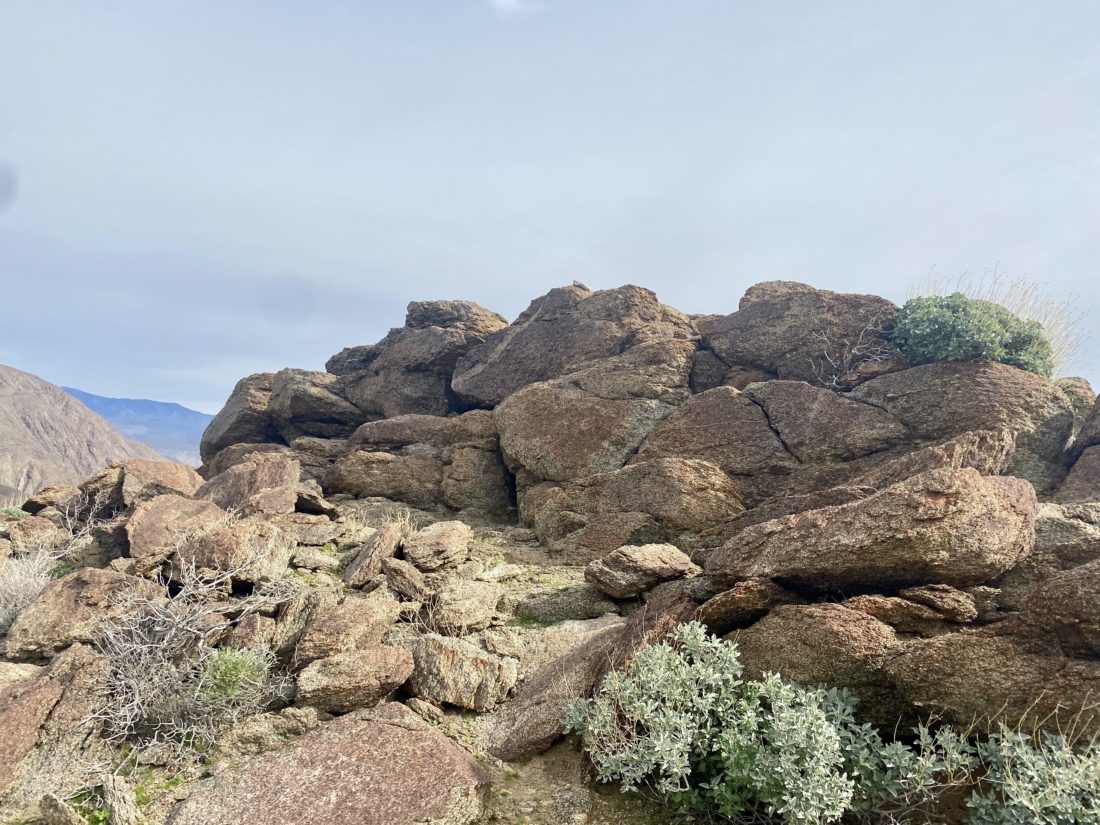
The trail was in better condition than the section we were just on, as being lower, there was less water damage. We could see various plants and cacti starting to begin their spring blooms, but it was still just a bit too early for anything of note. After about 1.3 miles, I began scanning ahead, trying to spot the benchmark. The CRHT basically passes right over it, so I knew I would have to look too hard for it. There, just to the north of the trail, stood a small cluster of rocks. Checking our map, that appeared to be it, so I walked over and spied a reference mark. Welcome to the summit of Rass Benchmark.

Scrambling up, I found the actual benchmark and a register tucked down in the rocks. As I ate my snack, I thumbed through the register, reading many familiar names, and then on a blank page added our own. We snapped our photos and began our descent. The neck was doing ok, but we were starting to think about a real lunch. I had planned to hike over to Hans Benchmark which was nearby, but neither of us felt like doing it. Instead, I pitched driving over and doing Woods Benchmark. It is located near the Borrego Air Ranch, southeast of town. We made the short drive over, sticking to the dirt road that goes around the Air Ranch, and parked at the base of the bump. It really is just a bump on the desert floor. Although we could have driven up, we chose to walk the ¼ mile to the top. There was a concrete block with a mark embedded, so we felt somewhat rewarded.

We snapped a couple of quick photos, then back to the car and into town. We opted to try Carlee’s for lunch. With our hunger resolved, we bid farewell and made the uneventful drive home.


Buy Me a Coffee at ko-fi.com

I am an avid peak bagger, sometimes backpacker, and former sea kayaker living in San Diego. In 2019, I became the third person to complete the San Diego 100 Peak Challenge. Not stopping with that accomplishment, I set my sights on the harder San Diego Sierra Club 100 Peak list, which I completed in 2021. In addition, I have conquered several Six-Pack of Peaks challenges (SoCal, San Diego, Central Coast, and Arizona-Winter). Beyond attempting the San Diego Sierra Club 100 Peak list a second time, I am looking forward to exploring new summits and new adventures across the southwest. 

Wee Benchmark

Initially, I considered hiking Volcan Mountain to get it done for this year’s 6-pack of peaks challenge. But I realized I could hike it almost anytime, so instead I looked at some options out in Anza-Borrego. I still needed to be mindful of my neck issues, so I settled on trying a few easier ones on the Borrego Benchmark club list. First up was Wee Benchmark. Ted carefully drove up the dirt road to the Pena Springs Trailhead and parked at the turnaround. We grabbed our gear and set off. 

Our route followed the California Riding and Hiking Trail for about a mile, making its way up. Soon, Wee Benchmark came into view, we continued on until we were directly south of it, then made the short cross-country climb to its summit.

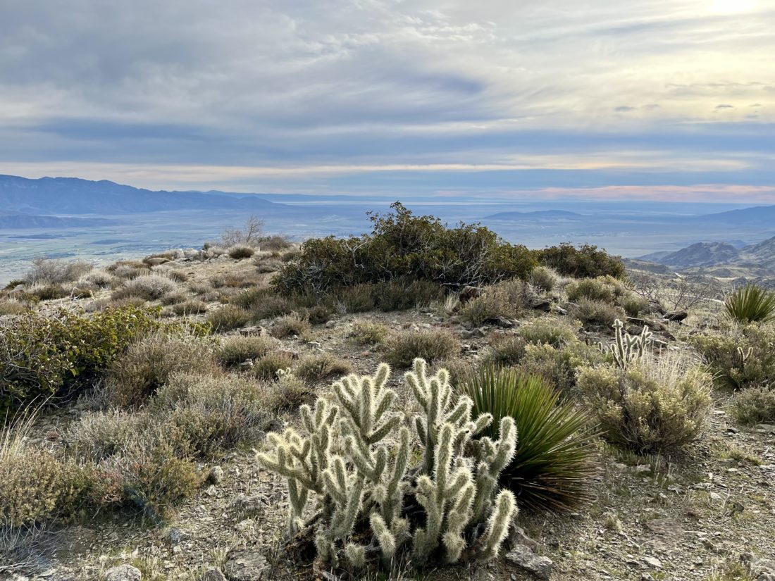
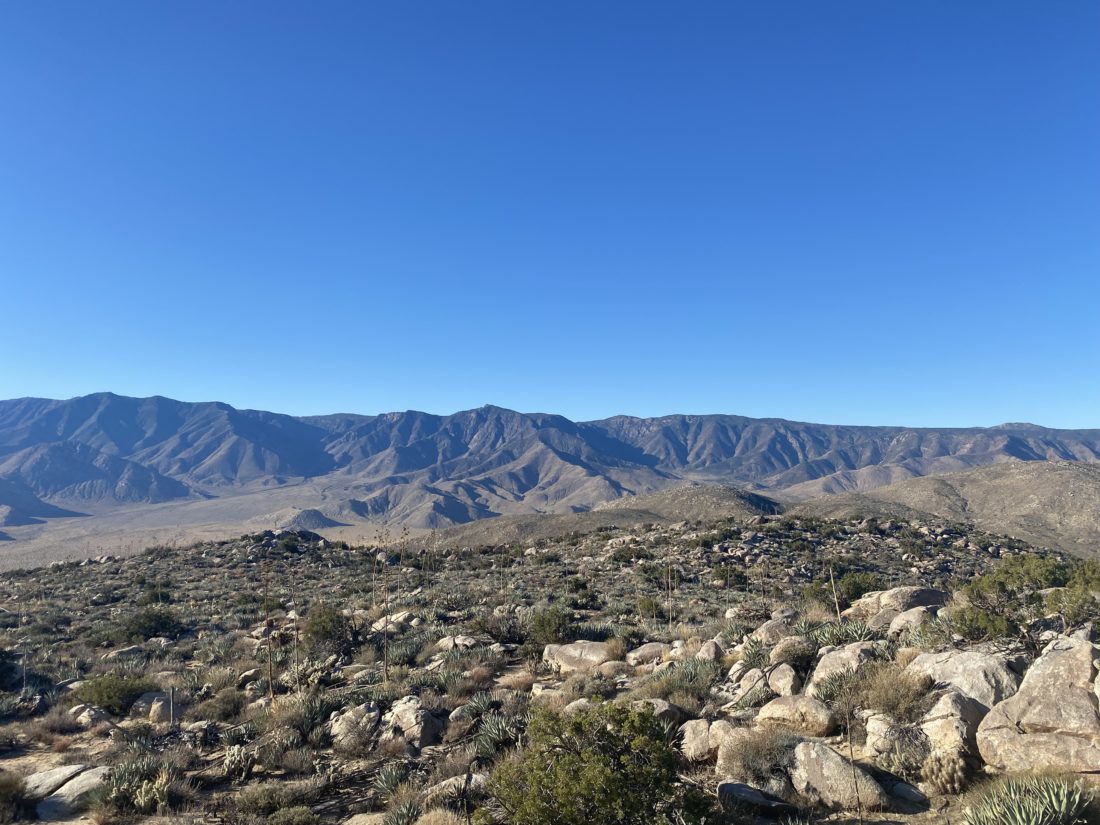
There we found the benchmark and two registers. I signed us in, while Ted wandered around snapping a few photos. We gazed over toward Hellhole Flats and the various summits that stood out. Since we were hoping to climb a couple more peaks today we headed back down. Once back at the car, we tossed in our gear and headed to our next adventure, Rass Benchmark. 


Buy Me a Coffee at ko-fi.com

I am an avid peak bagger, sometimes backpacker, and former sea kayaker living in San Diego. In 2019, I became the third person to complete the San Diego 100 Peak Challenge. Not stopping with that accomplishment, I set my sights on the harder San Diego Sierra Club 100 Peak list, which I completed in 2021. In addition, I have conquered several Six-Pack of Peaks challenges (SoCal, San Diego, Central Coast, and Arizona-Winter). Beyond attempting the San Diego Sierra Club 100 Peak list a second time, I am looking forward to exploring new summits and new adventures across the southwest. 

Pyramid Peak

Decided to try to knock off one of my 20 remaining San Diego Sierra Club x2 peaks on Sunday. Susie also needed to climb Pyramid Peak again, so she opted to come along. Sadly, Ted wasn’t feeling up to a hike of this difficulty and waved off joining us.  We pulled into the same parking area used to start the long journey up Villager Peak. About 4 cars were already parked here, as well as Rick and Andrea who would be joining us on this trek. I had hiked with them a few times in the past, and since they were also working on both the 100 Peak Challenge and the San Diego Sierra Club 100 peak list, why not try to coordinate some attempts together? After introductions were made, we all finished getting ready. They run a YouTube channel, so they would be stopping from time to time to set up a camera for various hiking shots. The first part of the hike was across the flat open desert toward the wide Palo Verde wash, about a mile or so to our northeast. Since the sun was up, I had no trouble navigating us toward it. Once in the semi-rocky wash, I kept an eye out for the exit out of it onto an old Cahuilla trail. Around some smoke trees, I spied it, double-checked my GPS track, and climbed up.

The trail would steadily climb about 650 feet over the next ½ mile. Part way up, across the canyon, we spotted the remains of an old molybdenum mine. On some maps, it is referenced as the Prospect Mine, but many just refer to it as the Moly Mine. As in Derek’s trip report, we also spotted a bone along the side of the trail. Andrea was not feeling 100% and was hiking at her pace. We would stop from time to time to regroup and verify that we were still good to continue. Once we reached the pass between the two washes, we got our first glimpses of Pyramid Peak off in the distance. After a short flat section, we dropped down into Smoke Tree Wash. This section took a bit of care, as the trail was narrow and the drop-off was pronounced. Thankfully, we were quickly across this portion and down in the wash. We again verified that we were still good to continue on up the wash for a short bit.

A cairn marked the exit from the wash onto the first of two ridges we would take to the summit. The trail would become steeper, with about 1,300 feet of gain over the next 1.1 miles, and the footing a bit looser. After a bit, it was clear our hiking paces were diverging, so we opted to split up. The route was fairly clear, and I did not feel that navigation was going to be an issue for anyone. I plodded along the trail, keeping my head down, in part to avoid the wind, and pushed toward the next ridge. Once on the second ridge, we looked back for Rick and Andrea and saw they remained a good ways back. After about 1⁄4 of a mile, we reached the summit. A nice-sized cairn stood there, with an ammo back holding the register. The views were sweeping, but the wind was blowing around 30 mph, so we knew we were not going to linger too long. We had our snacks and snapped some photos. In signing the register, we learned that Steve Fausset had passed. Susie had hiked with him once and I was familiar with his name from various registers scattered across a myriad of desert peaks.

As we made our descent, Rick and Andrea were still pushing toward the summit. We knew they were experienced hikers and we did not need to worry too much about them, so after chatting a bit we let them keep climbing while we made our careful descent.

The descent went fun until I slid and got a collection of chollas stuck into my left hand. That was painful to pluck out! Finally, we reached the wash and the 1.5 miles back to the car. I sent a text to Rick that we were down, and sometime later they did the same. Overall my neck and back did pretty well. I logged the hike at 8.1 miles with 2,824 feet of gain. Our total travel time was 7:13, but that included several breaks as we regrouped. 


Buy Me a Coffee at ko-fi.com

I am an avid peak bagger, sometimes backpacker, and former sea kayaker living in San Diego. In 2019, I became the third person to complete the San Diego 100 Peak Challenge. Not stopping with that accomplishment, I set my sights on the harder San Diego Sierra Club 100 Peak list, which I completed in 2021. In addition, I have conquered several Six-Pack of Peaks challenges (SoCal, San Diego, Central Coast, and Arizona-Winter). Beyond attempting the San Diego Sierra Club 100 Peak list a second time, I am looking forward to exploring new summits and new adventures across the southwest. 

Monserate Mountain Loop

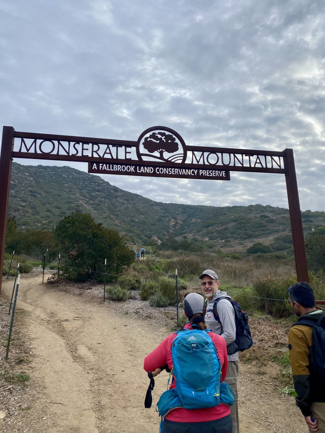
With some unpleasant weather in the forecast, our planned hike out in Anza-Borrego seemed not to be the wisest option. So, instead, we decided to do something shorter and closer to home. Rick suggested, “Why not do Monserate Mountain?” That hike worked for me. As I pulled into the parking area a bit before 8, there were a lot more cars than I expected. I spotted a tent covering set up near the trailhead, so something organized looked to be happening. I grabbed my gear to investigate. It turned out that this was the conditioning check hike for the Wilderness Basics Course (WBC) participants. While hanging around I spied Casey Wear-Molean milling about. We had a brief chat before I spotted Rick and Andrea pulling in. I headed over to them and filled them in on the extra hikers this morning. They quickly grabbed their gear and were ready to head off. Most of the WBC hikers had left, so we weren’t in the thick of it. Andrea was feeling a little off, so she hiked her own hike. Rick and I would stop periodically to let her catch up. Meanwhile, I picked Rick’s brain about my water caching idea for doing the CRHT. He said it sounded solid, too bad my neck issues are keeping a backpack off me for the time being.

He picked my brain about various desert peaks that they need (and I need again for my x2). Once at the summit, we took a short break, had a quick snack, and snapped a few photos. I learned that the WBC hikers needed to summit within 55 minutes (1.5 miles), but since we stopped several times to regroup with Andrea I could not simply look at my elapsed time and see if I made the cut-off. Thankfully, Strava calculated “moving” time, and according to it, we made it to the summit in 43:23.

The rains had not come yet, so we opted to do the loop now that it was reopened. We made our way down from the summit and made a left turn toward the water tank. Part way down, a small spur trail led off to the side for about 20 feet, and according to Peakbagger, this tiny bump, Peak 1309, was in its database. Ascent recorded! 😉

We made our way down the stair section and soon found ourselves on the road that services the water tank. Following it down a bit, another trail to our right caught our eye. Checking out maps, this was a shortcut back to a trail that would loop back to the beginning, so off we went. It had a “fun” little bit of steep rocky section, but I prefer that over boring pavement any day.

Once on the connecting trail, we passed a wire-fenced trail to our left. Continuing our theme of exploration, we took it. After a short bit, it linked up with what appeared to be a trail that starts in the development to the south. We instead turned right, back toward the Monserate Mountain trail. The trail hugged the contour of the mountain and crossed several gullies with some nice wooden bridges. We reached a junction, and the main trail appeared to continue westward back to the development, while the other trail, we assumed, linked with the trail we started on. Our assumptions were correct, and we found ourselves back on the familiar trail. Once at the trailhead, Rick and Andrea offered me a cold Diet Coke, which I gladly accepted. We chatted a bit more, but soon those forecasted showers started, so we bid farewell before it really started coming down. Hopefully, the weather will be better next weekend and we can go climb something in the desert. The discovery of this new alternative section for the Monserate Mountain loop has my full endorsement. I logged this route at 3:93 miles with an elevation gain of 1,234 feet. The moving time was 1:51.


Buy Me a Coffee at ko-fi.com

I am an avid peak bagger, sometimes backpacker, and former sea kayaker living in San Diego. In 2019, I became the third person to complete the San Diego 100 Peak Challenge. Not stopping with that accomplishment, I set my sights on the harder San Diego Sierra Club 100 Peak list, which I completed in 2021. In addition, I have conquered several Six-Pack of Peaks challenges (SoCal, San Diego, Central Coast, and Arizona-Winter). Beyond attempting the San Diego Sierra Club 100 Peak list a second time, I am looking forward to exploring new summits and new adventures across the southwest. 

Woodson Mountain (via Fry-Koegel Trail)

With my usual hiking companions busy, I decided to start working on this year’s San Diego Six Pack of Peaks challenge. I debated between Volcan Mountain and Woodson. Since I did not feel like making the long drive out past Julian, so Woodson it is. I opted to ascend via the Fry-Koegel trail and descend via the service road. Unlike last time, I started after the sun rose. While cars lined the road near the usual trailhead, no one was parked near the trailhead for Fry-Koegel. It was chilly, so I did slip on my light fleece before setting off. The trail follows the backyards of some homes for the first part of the trail. This time there were some lovely smells of breakfast cooking…

Some mushrooms lined the side of the trail as I worked my way westward. After a bit, I shed my fleece and secured it to my waist pack. 

A few folks passed me returning either from their earlier summit or a morning walk with their dog. 

Reaching the junction with the old Fry-Koegel trail and the new Fry-Koegel trail, I opted to take the old route again, in part to compare my times.

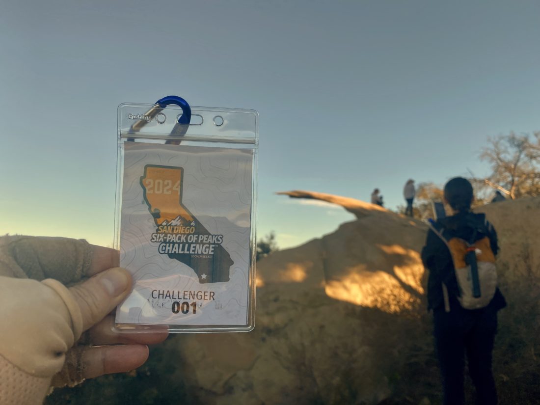
Once on the trail that leads up from Lake Poway, I cruised toward the summit. But first I would pass by the “famous” Potato Chip. I have been out on it several times, so I could bypass the Disney-like lines to climb out on it. Now I did snap a photo with my San Diego Six Pack of Peaks Challenge Legacy badge before cresting the summit.

I slipped my rubber tips onto my trekking poles, as the rest of the hike would now be on asphalt. Streams of hikes huffed and puffed their way up the road. Some were clearly not happy about the steepness of the route they were taking.

Soon I found myself back along the road. A sheriff’s car was parked right at the trailhead, and almost all the cars had a warning flyer about keeping valuables either at home or out of sight. In fact, there was broken glass from two smashed windows near where I parked. Thankfully, I had no issues upon my return. I tracked my hike at 5.3 miles in 2:19, with an elevation gain of 1,410 feet.


Buy Me a Coffee at ko-fi.com

I am an avid peak bagger, sometimes backpacker, and former sea kayaker living in San Diego. In 2019, I became the third person to complete the San Diego 100 Peak Challenge. Not stopping with that accomplishment, I set my sights on the harder San Diego Sierra Club 100 Peak list, which I completed in 2021. In addition, I have conquered several Six-Pack of Peaks challenges (SoCal, San Diego, Central Coast, and Arizona-Winter). Beyond attempting the San Diego Sierra Club 100 Peak list a second time, I am looking forward to exploring new summits and new adventures across the southwest. 

Sentenac Mountain

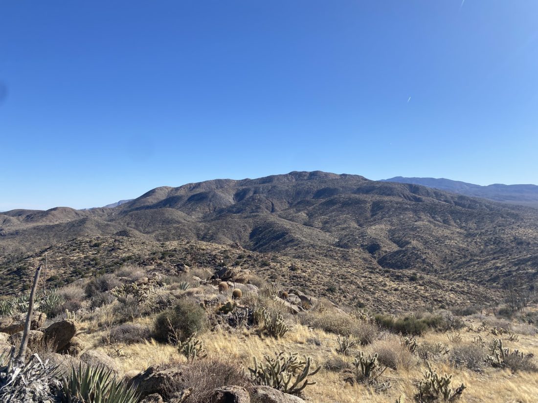
Back at the car after climbing Ghost Mountain, we made the short drive over to Plum Canyon and the trailhead for Sentenac Mountain. The route starts along the California Riding and Hiking Trail before turning west and heading up a side canyon. There the route would transition from a nice trail to picking our way up the narrow canyon. We would scramble over minor dry falls, and a couple that took a bit more to ascend. We weaved around various cacti as we kept pushing upward. We stayed to the left at the fork, then gained the ridge to the summit. As we neared the summit, we spotted a solo hiker cruising ahead of us. So much for checking “Only Party on the Mountain“ on Peakbagger…

He tagged the summit and upon his descent we chatted for a moment, he started at Plum Canyon as well, but we forgot to ask what his ascent route was. When we first spotted him, we assumed he came up from the Blair Valley side. His plan was to loop over to North Pinyon, then back down. We gave him some beta on that peak and wished him well. Once at the summit, we took a short break, enjoyed a snack, and signed the register.

We opted to retrace our ascent route rather than a more direct but steep descent. The return was mostly uneventful except for a poke that I got on my right calf. Turns out I had a good-sized thorn that I had to dig out once back at home. Once back at the car, we began the drive home, with a stop at Dudley’s for some well-earned sandwiches. The neck was giving me some pain, but it might have been all the driving and not the hiking. Will see what tomorrow brings and the options for next weekend.


Buy Me a Coffee at ko-fi.com

I am an avid peak bagger, sometimes backpacker, and former sea kayaker living in San Diego. In 2019, I became the third person to complete the San Diego 100 Peak Challenge. Not stopping with that accomplishment, I set my sights on the harder San Diego Sierra Club 100 Peak list, which I completed in 2021. In addition, I have conquered several Six-Pack of Peaks challenges (SoCal, San Diego, Central Coast, and Arizona-Winter). Beyond attempting the San Diego Sierra Club 100 Peak list a second time, I am looking forward to exploring new summits and new adventures across the southwest. 

Ghost Mountain

These were to be my first desert hikes of the season. The plan was to hike a couple of easier ones to see how my neck does with some more intense hiking. I thought why not pick two that Ted needed to summit? Since the three of us (Ted, Susie Kara, & I) had not hiked together in some time, we had some catching up to do on the long drive out to the desert. After a quick bio-break, we continued on to the trailhead for Ghost Mountain, only to be reminded that Ted had done this hike before! D’oh! So much for knocking two out for his lists. We thought of pivoting to Pinyon Mountain, which I knew he needed but decided to stick with the plan.

We cruised up the mountain without issue. It was a tad nippy but soon turned to perfect desert hiking weather. After a quick stop at the Marshall South homestead, we pushed onto the summit. We signed the register, surveyed the view, and then headed back down.


Buy Me a Coffee at ko-fi.com

I am an avid peak bagger, sometimes backpacker, and former sea kayaker living in San Diego. In 2019, I became the third person to complete the San Diego 100 Peak Challenge. Not stopping with that accomplishment, I set my sights on the harder San Diego Sierra Club 100 Peak list, which I completed in 2021. In addition, I have conquered several Six-Pack of Peaks challenges (SoCal, San Diego, Central Coast, and Arizona-Winter). Beyond attempting the San Diego Sierra Club 100 Peak list a second time, I am looking forward to exploring new summits and new adventures across the southwest. 

Grass Mountain

After a good night’s sleep in Lompoc, I was ready to climb my final peak of the inaugural Central Coast Six Pack of Peaks challenge—Grass Mountain. It was a bit odd staying in Lompoc and not going to see a rocket launch, but the two models in the lobby helped.

I had planned to have breakfast at my usual cafe, but they didn’t open until 7, so McDonald’s again. It was about a 40-minute drive to the trailhead, so I had time to enjoy my coffee. One car was at the trailhead when I pulled in. It was a bit nippy and I debated if I was going to start out in my light fleece. I filled out my day permit and finished getting ready. There is an old hiking rule—it is better to start off too cold than too warm. I left the fleece behind, in part because I also knew most of the hike was fully exposed. The trail follows Birabent Creek for just under a mile, crossing it three times before leaving it behind.

Now the “fun” would begin, as the trail would range between 20-50% grade! This was going to be a slow and steady type of climb. The mountain, which is accurately named, loomed before me. I focused on the trail ahead of me, looking for good footing, as this trail was steep!

I would take a short break from time to time, have some fluids, then continue on. The views behind me were stunning, so I knew the summit view should be worth it.

I carefully made my way up, trying not to think about descending this later. Soon, I knew the summit was almost there, as the grasses ended and the gravel took over. A large peace symbol, made of rocks served as the summit marker, as I did not locate a summit sign. I enjoyed a snack and soaked in the views. Off in the distance, I could spy the Neverland Ranch. Yesterday’s two summits were visible off in the distance. I still needed to descend and then make the long drive home. I took each step with care, hoping not to slip. Thankfully, I made it down with my pride intact. Once back near the creek, I started to pass other hikers out for probably an easier hike along some of the other trails nearby. Once back at the car, I cleaned up before heading to Los Olivos Grocery to reward my effort with a nice tri-tip sandwich and a large Coke. With that, my challenge was complete! This final hike was a mere 4.6 miles but with a whopping 2,330 feet of gain, and I did manage to do it in 4:06 (with my breaks and time at the summit)! Now to finish up my San Diego Challenge.


Buy Me a Coffee at ko-fi.com

I am an avid peak bagger, sometimes backpacker, and former sea kayaker living in San Diego. In 2019, I became the third person to complete the San Diego 100 Peak Challenge. Not stopping with that accomplishment, I set my sights on the harder San Diego Sierra Club 100 Peak list, which I completed in 2021. In addition, I have conquered several Six-Pack of Peaks challenges (SoCal, San Diego, Central Coast, and Arizona-Winter). Beyond attempting the San Diego Sierra Club 100 Peak list a second time, I am looking forward to exploring new summits and new adventures across the southwest. 

Gaviota Peak

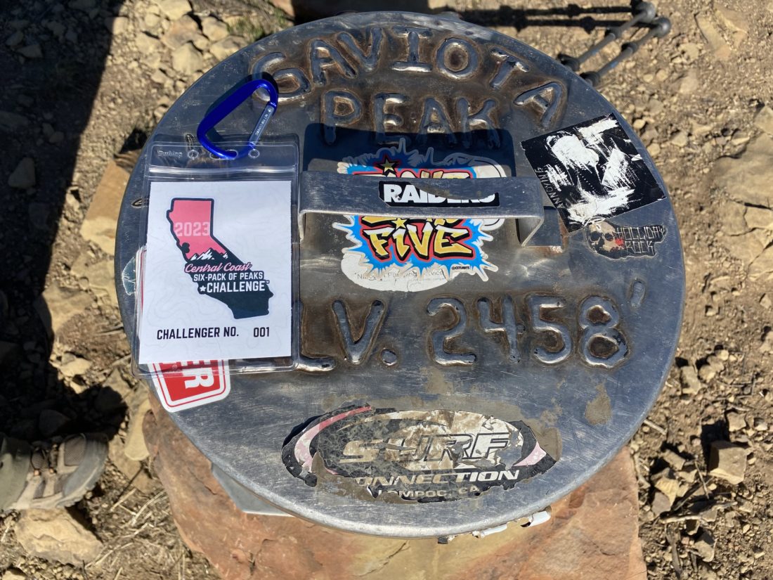
I previously had hiked Gaviota Peak after watching a SpaceX launch from nearby Vandenberg SFB. I found a spot in the parking lot, filled out my day pass, dropped my $2 into the slot, and slipped the stub on my dashboard. After gathering my gear, I set off up the trail. Since there were several cars in the lot, I knew I would be seeing other folks on the trail.

I opted to take the same route up as last time, as I was planning on using the Trespass Trail for my return from the summit. Since I was not racing to meet some friends for dinner, I also had time to take a short detour to see the hot springs. The spur trail was well marked, so off I went. The trail was a bit muddy, so a little care needed to be taken. A smell of sulfur hung slightly in the air from the creek as it flowed past. I came to the hot springs. The couple that had headed out as I pulled in were enjoying the waters. We chatted a bit before I let them enjoy their soak. The spur trail connected back to the road and I continued making my way up towards the summit.

A few runners passed me returning back from their summit, while I continued my journey upward. The ocean came into view and I knew the summit was just a short push more. As I reached it, another hiker was just about to head back down. She had come up the Trespass Trail, and I mentioned that I planned to use it for my route down. She asked about the other route as she always uses the Trespass Trail. I gave her the basic info about the route, and she headed down. 

I snapped a few photos, had a snack, mixed up my electrolytes, and set off. Unlike the wide road that I took up, I was now on a traditional trail. While I did have some nice views of the ocean and the Channel Islands, the poor condition of the trail had me paying attention to my footing.

After a bit, the hiker from the summit decided to stick to her tried and true route and caught up with me. Oh, to have young knees…

As I reached the junction with the Tunnel View Trail, I opted to take it. I figured it would provide a nice view of the Gaviota Tunnel. Turns out I was right. I was starting to get hungry, so I did not linger. I soon rejoined the Trespass Trail, then shortly thereafter the main trail. I tossed my gear into the car, changed shirts, and headed to Figueroa Mountain Brewery for lunch and my free beer, courtesy of taking the Six Pack of Peaks Challenge. The stats for the hike were 6.4 miles, with a moving time of 3:12 and 2,138 feet of gain. Just one more peak to summit and this challenge will be complete!


Buy Me a Coffee at ko-fi.com

I am an avid peak bagger, sometimes backpacker, and former sea kayaker living in San Diego. In 2019, I became the third person to complete the San Diego 100 Peak Challenge. Not stopping with that accomplishment, I set my sights on the harder San Diego Sierra Club 100 Peak list, which I completed in 2021. In addition, I have conquered several Six-Pack of Peaks challenges (SoCal, San Diego, Central Coast, and Arizona-Winter). Beyond attempting the San Diego Sierra Club 100 Peak list a second time, I am looking forward to exploring new summits and new adventures across the southwest.