With my recent summit of Hot Springs Mountain, I was down to only one more peak to complete the San Diego Six-Pack of Peaks Challenge — Cuyamaca Peak. Initially I had planned to save doing it until a nice fall day, but we still had some nice spring weather so I decided just to go knock it off the list. The past few times I have summited this mountain I had been working on the 100 Peak Challenge, so getting Airplane Ridge and Japacha Peak had been on the agenda. This time I did not need to revisit those summits, so I looked at some of the other possible routes. For many, they simply take the newly re-paved fire road to the summit from the campground. This was the route I did the first time years ago. While it is the shortest route, it is steep and all on a paved road. I had no desire to take this route again. Instead, I opted to use some of the trails on the north side of the mountain.
I pulled into the parking lot near the Trout Pond trail, just a bit north of the Paso Picacho Campground. This the same starting point you would use if you were going to hike up Middle Peak. There were a few cars here as I gathered my gear. It was still a bit nippy, so I pulled on a fleece. The forecasted high on the summit was in the low 50s, so I was probably going to want it later even if I warmed up while I was hiking.


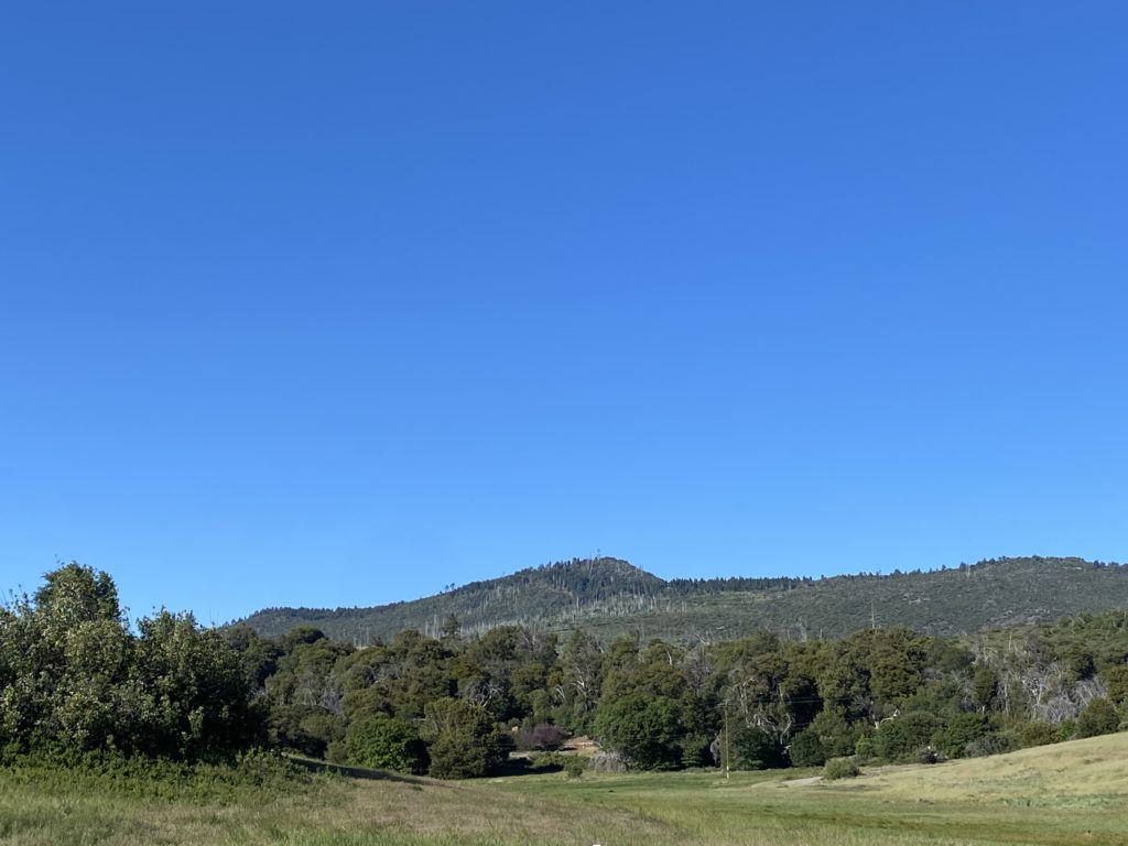
After carefully crossing the highway, I headed down Milk Ranch Road. The grade was nice and gentle and had some lovely views. I passed the turn off that would take you up toward Middle Peak. After about 1.4 miles I came to the junction of the Black Oak Trail to my north and the Azala Springs Fire Road to my south. Walking around the gate, I continued on for about a quarter of a mile until I reached the Conejo Trail. My route now turned from nice wide roads to a more traditional trail. I continued to have a nice view of Cush-Pi (Stonewall) to my east. Over the next 1.5 miles, I would gain almost 900 feet of elevation. I could occasionally hear some voices ahead of me, and since I was making good time, I figured I would probably catch up to them. As I turned the corner of one of the switchbacks, I recognized Amber Haslerud from the San Diego Hiking Society. She and her boyfriend were also climbing Cuyamaca today. I stopped and chatted a bit. I loved following Amber’s hiking journeys, so it was a treat to finally meet her face to face. I wished them a good hike and continued on. The trail still had some nice wildflowers along it, so I seemed to be grabbing my phone to snap a photo quite often.


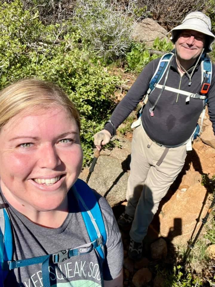
The Conejo Trail meets up with the Lookout Fire Road about .4 miles from the summit. However, I still had over 300 feet of gain until I summited. As I made my way to the top from the road, I spied two teeny tiny patches of snow tucked in the shade. The summit sign was still there, so I took my summit selfie then wandered over to take a few more photos of some of the interesting landmarks, the NASA benchmark, the Forest Service carving, and of course the view. I had a quick snack and was just about ready to leave when Amber and John arrived. Since this was their first time at the summit, I showed them how to get to the top. Once there, I gave them a quick tour of the summit. We chatted some more, and then I let them enjoy their accomplishment by themselves.


Since I found much of the Conejo Trail a tad rocky, I opted to take a slightly different route back to the car.


So, I stayed on the fire road until it met up with Azala Springs Fire Road. I followed it for about .6 miles until I reached the spring. Now if I had parked at the campground, there is another trail that would take me there, but I continued north back toward Milk Ranch Road, and eventually my car. My entire hike clocked in at 8.73 miles with 1,862 feet of gain in 4:02 (including all the chatting).


I am an avid peak bagger, sometimes backpacker, and former sea kayaker living in San Diego. In 2019, I became the third person to complete the San Diego 100 Peak Challenge. Not stopping with that accomplishment, I set my sights on the harder San Diego Sierra Club 100 Peak list, which I completed in 2021. In addition, I have conquered several Six-Pack of Peaks challenges (SoCal, San Diego, Central Coast, and Arizona-Winter). Beyond attempting the San Diego Sierra Club 100 Peak list a second time, I am looking forward to exploring new summits and new adventures across the southwest.