Since I could not tackle any of my remaining Sierra Club peaks this week, I opted to finish the Six-Pack of Peaks- San Diego collection. I had been saving Cuaymaca Peak for the fall, in part to enjoy some fall colors along the hike (I had also saved Mt. Wilson for the same reason, but the Bobcat Fire changed those plans). But also, to see if the SDGE construction closure order would finally be lifted. Ted Markus and I arrived at the Harvey Moore Trailhead just before 7 am. On the drive out we did catch a lovely sunrise. It was a brisk 44° as we set off. I was also testing out a new daypack, an Osprey Stratus 34. After last weekend, I realized I need a slightly bigger pack for longer hikes.
After carefully hiking across the bridge that spans Sweetwater Creek, we hopped onto the West Trail for a bit until it connected with the Monument Trail. The fleece I had on at the start was too warm, so it was time to test out the storage of the new pack. The pack has a small sleeping bag compartment, so I stuffed the fleece in there without an issue. We worked our way up the trail toward our first goal, Airplane Ridge. When I did this hike last year, I missed it and had to scramble back. This time I was a bit more attentive to the short cross-country scramble. Upon the small summit, we took a quick break. I opted to shed another layer before continuing on. There is no benchmark nor register, just a mystery can with a San Diego Adventure Club sticker. That will have to do.
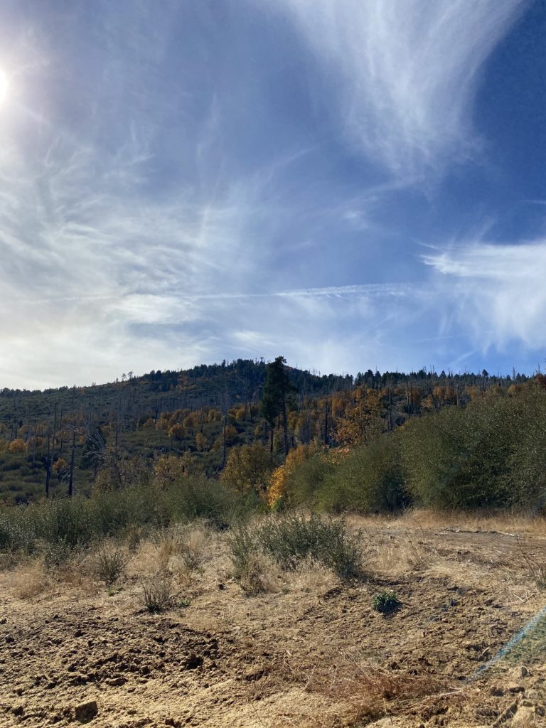
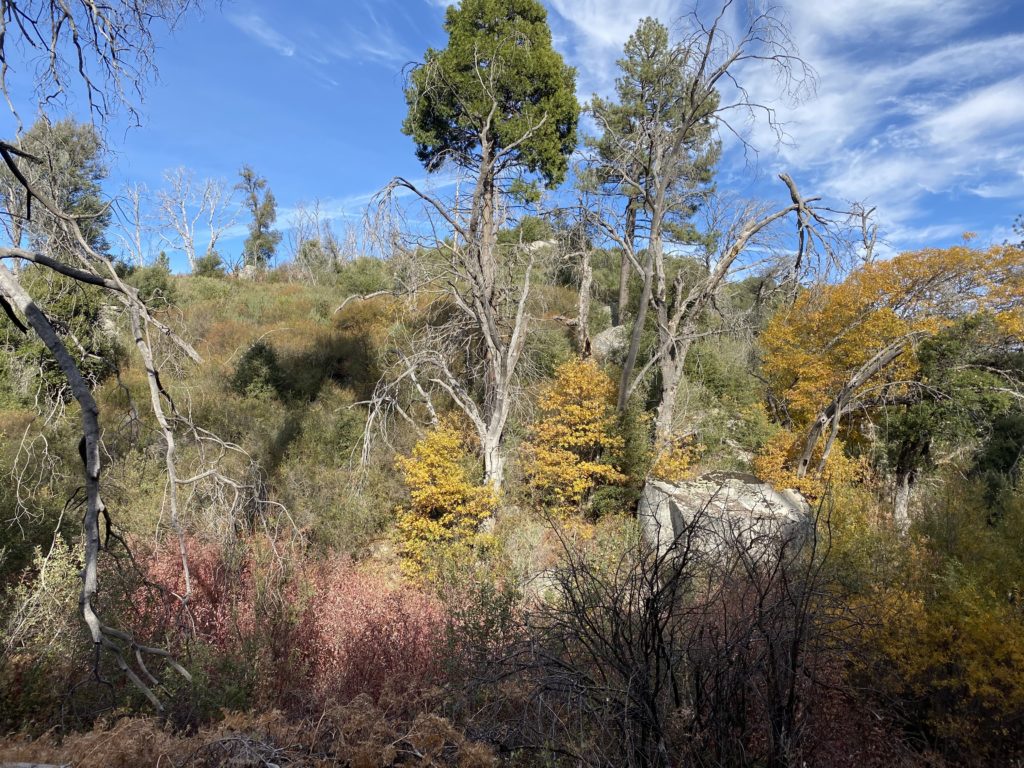
Ted and I continued to make good time, and soon we came to the junction with the West Mesa Trail. This is one of my favorite sections, as there is something about a meadow that I like. Once across the meadow, we turned on the Burnt Pine trail. After a quick snack, we would travel through some of the only remaining pine trees that survived the fire. Intermixed with the pines were some oaks, so we got some lovely fall color. As we drew higher, small stretches of snow still remained, tucked in the shady northern sides of the trail.
I had originally planned not to be hiking this weekend, as SpaceX was conducting a launch and land landing from Vandenberg AFB. But between the road closures forcing a fairly distant viewing spot and Covid, I opted to skip the 5-hour drive up to Lompoc. I was tracking the progress of the launch on my phone. As we reached the turnoff to Japacha, I pulled up YouTube to watch it. I missed the actual launch but followed the first stage’s return to the landing site. With that event done, we set off to summit Japacha peak. We weaved our way through the brush, following just a hint of the route. I had to double-check my previous track a couple of times to get us to the summit, where we took another short break. I signed the register seeing that the last person to sign in was almost a month ago, and the one before that about the same amount of time. Cuyamaca stood towering over us just to the north, so we once again headed off.
We then reached the fire road that would lead us to the summit, about .4 miles away. Technically, this is still closed, but all reports stated the SDGE closure was not being actively enforced as they are no longer working on that project. There is a reforestation effort closer to the campground, and when that is occurring the closure is in effect. The road was steep, but the new tarmac was nice, no more crumbling asphalt to worry about. As we drew close to the summit, a new fence now surrounded the towers, so we hiked to the end of the road and followed the trail to the summit.


Ted and I took our photos, then found some nice spots, socially distanced, and had our lunch. We found the NASA mark, two reference marks, a metal plug atop one of the high rocks, and some rock graffiti from long ago. We set off down the fire road, and we finally started to encounter some other hikers, whereas up to that point we had only seen one trail runner.

We debated on what route to take; retrace our ascent or head down the fire road and take one of the connecting trails. We opted for the latter option. While the new pavement is nice, it is still a steep road. As we made our way down, some heavy equipment was parked along the side of the road in support of the reforestation.

Once we reached the Fern Flat Fire Road, we left the pavement behind. The road also looked like some recent work had been done, and sure enough, we passed the parked grader that was smoothing out the ruts. This stretch was a pleasant stroll this time. Last time, I was hustling to make it back to the car to attend a birthday party for a friend. The only issue this time was I seemed to be developing some blisters on my pinky toes. At this point, I figured I was close enough to the car to not deal with them.

Soon we spotted the parking lot and our three-peak adventure was over. Ted got to cross off three more peaks on the 100 Peak Challenge, and I completed the Six-Pack of Peaks – San Diego collection! The entire hike was about 14.2 miles, 2,780 feet of gain in 6:53 of hiking time.
I am an avid peak bagger, sometimes backpacker, and former sea kayaker living in San Diego. In 2019, I became the third person to complete the San Diego 100 Peak Challenge. Not stopping with that accomplishment, I set my sights on the harder San Diego Sierra Club 100 Peak list, which I completed in 2021. In addition, I have conquered several Six-Pack of Peaks challenges (SoCal, San Diego, Central Coast, and Arizona-Winter). Beyond attempting the San Diego Sierra Club 100 Peak list a second time, I am looking forward to exploring new summits and new adventures across the southwest.


One thought on “Cuyamaca Peak (via West Mesa Trail)”