I had a nice walkabout this morning. Decided to keep it local and go visit some of the peaks that show up on Peakbagger’s Near By list. I parked near the Chili’s and headed down Cara Way.


Soon, the Los Peñasquitos Creek Arch Bridge came into view, and then the Cara Knott Crime Victim’s Memorial Oak Garden. I paused to reflect on all the names here before I continued on.


Leaving the road, the route became a single track as it works its way around the pumping station. The path followed Peñasquito creek for a bit before making its way to the top of Peak 590.


I gazed at Van Dam peak and tried to find less-traveled routes to the summits. I decided to make the trip a loop, so I took the east path down the hill. I soon found myself back at Scripps-Poway Parkway. Along the way, I did encounter a few mountain bikers, a couple of runners, and one hiker.
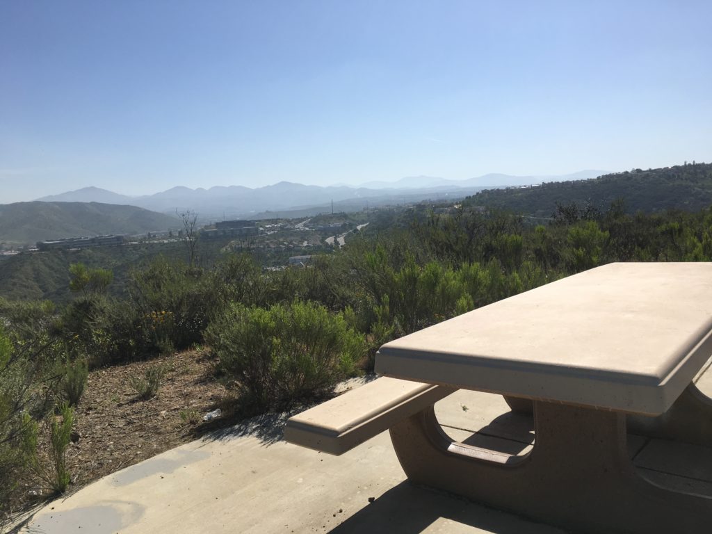
Next on the list was Miramar Benchmark, so I crossed under the 15 and entered Canyon Hills Open Space. I headed up the service road to the summit. It was straightforward forward walk up the wide dirt road. I meet two walkers along the way. As I neared the summit, the first of two picnic benches were found.
At the summit, some Aqueduct elements stood at the summit. I found one mark, but the real marks were not located.


I grabbed a few photos and headed down. All in all, a nice 5 miles.


I am an avid peak bagger, sometimes backpacker, and former sea kayaker living in San Diego. In 2019, I became the third person to complete the San Diego 100 Peak Challenge. Not stopping with that accomplishment, I set my sights on the harder San Diego Sierra Club 100 Peak list, which I completed in 2021. In addition, I have conquered several Six-Pack of Peaks challenges (SoCal, San Diego, Central Coast, and Arizona-Winter). Beyond attempting the San Diego Sierra Club 100 Peak list a second time, I am looking forward to exploring new summits and new adventures across the southwest.