Ted and I pulled off the Borrego Salton Seaway at the trailhead commonly used for climbing Villager or Pyramid Peaks at about 5:15 am. Matt was already there, and soon Susie arrived, followed by Greg. Our goal today was to work our way up from the desert floor to Rosa Point, #28 on the San Diego 100, then onto Mile High (#24). We knew this was going to be a long, hard day, hence the pre-dawn start.


Under the faint light of a sliver of the moon, we set off across the desert floor, illuminated by our headlamps. Our first landmark was the entrance to Palo Verde Wash, about a mile northeast of our starting point. I mistook a wash to the north as our entrance, but a quick check of our route had us back on track with only about 10 minutes of backtracking.


We would follow this wash for about a mile and a half. At about the 1900’ elevation point, a steep ridge was on our left. It was here we would climb out of the canyon and onto the ridgeline that we would use for most of the ascent.


Once up this section, we stopped for a short breather and to check in with one another. Susie was not sure about continuing. She really wanted to add Rosa Point to her list, having already summited Mile High back in 2017. I guess doing Cactus to Clouds the day before night had something to do with it. If you are unfamiliar with that hike, it is one of the toughest in the US. Some 10,000+ feet of elevation gain in 21 miles and a modest portion was in the snow. She wished us good luck on our attempt and headed back down.

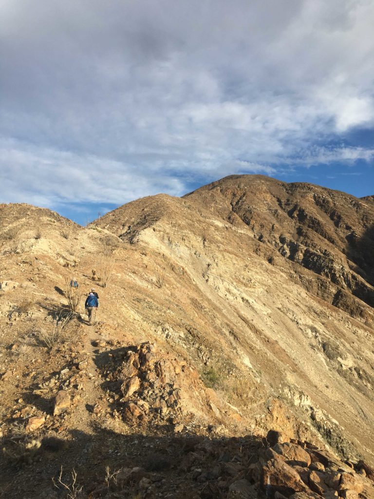
The four of us continued our journey. This was Greg’s third time doing this loop, so we knew we were in good hands. Greg and I traded off navigation checks as we followed a modest use trail northward. The weather was perfect—low 50s with a slight breeze. As we kept climbing upward, the trail was steep but manageable. Finally, at about 3,400’ we began a short descent across the top of the Palo Verde Wash. After this welcomed respite from climbing, it was time to gain the final 1600’ of elevation to reach Rosa Point. Matt’s climbing ability was impressive, as he just seemed to effortlessly fly up the ridgeline. Greg followed him, while Ted and myself brought up the rear. Ted and I have an arrangement—he takes the photos and I keep us from getting lost.


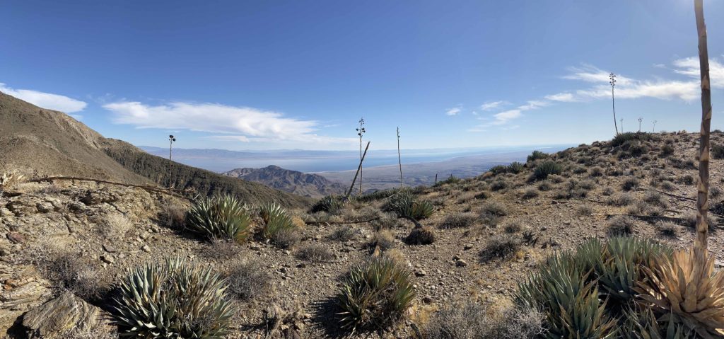
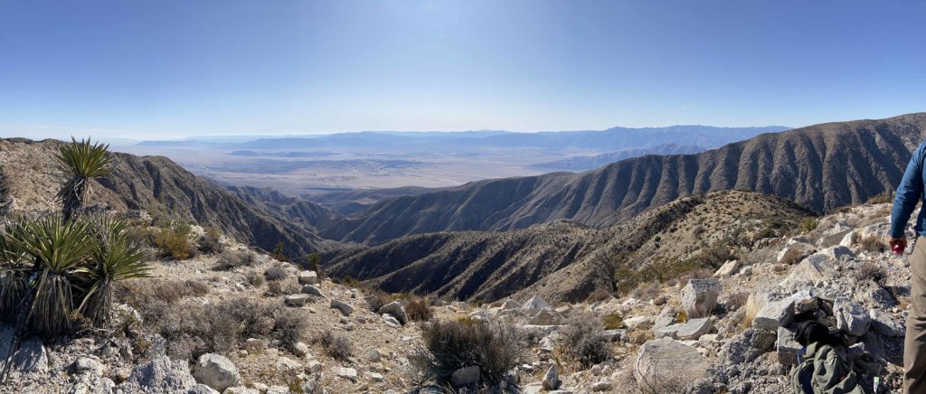
Soon Rosa Point came clearly into view. Just about 4 hours after we started, we were soaking up the views of the Salton Sea to the east, Anza Borrego to the south, and our next summit, Mile High, off to the northwest. After signing the register and having some snacks we headed off. Greg estimated it would take us about 2 hours to work our way to Mile High.


Although Rosa Point sits at 5,000 feet and Mile High is only 320 feet higher, we still had some work ahead of us to reach its summit. Our route follows the narrow ridgeline, traversing several bumps along the way.


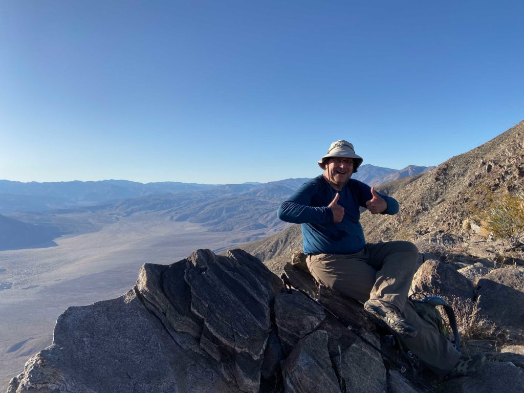
Just before 1 pm, we reached the summit of Mile High! The views were even more stunning than the ones from Rosa Point. I sat against a rock and enjoyed my well-earned PB&J, a small can of Coke, and a nice orange. After tending to a few hot spots on my feet, I signed the register and took some photos. For some reason, my phone was acting wonky. I shut it down in case I needed it later.


Unfortunately, we still had one more big challenge ahead of us. Rather than turn back and hike the way we came, the safer option is to take the village use trail back down. One issue is this requires descending about 1,000 feet along a steep, rocky, and tricky ridge. Once at the saddle, you then have a 600-foot climb upwards. Like I said, a real challenge.


Once safely at the saddle, we surveyed the various options for our ascent. A route a bit to the south seemed to be less rocky, so up we went. I knew I just needed to push up this and it would be a relatively easy 5 miles back to the car. The advantage of having done Villager before was I knew this section, but first I had to get there. I started my climb, not sure how often I would need to stop. Ted said to take it one step at a time. I picked my way up, chugging along. Ted would call out the elevation gain, “200 feet gained, halfway, 150 to go”. I could see the sunlight on the top of the ridge and knew I had just climbed that section without stopping! I was amazed at myself. While it was no speed record, we had made the ascent in about 35 minutes. We were still on our projected pace.

After a break for some fluids and snacks, we set off down the trail. Greg and Matt were about 300 yards to the south, waiting for us. Now that we had regrouped, it was time to head down. Matt and Greg soon pulled away but having hiked this portion before I was not concerned. I would rather take it a touch slower than risk a misstep.


We got past the two steep sections of the trail and past the narrow section well before a beautiful sunset. Donning our lights we continued on down the trail. I was glad I picked up a new headlamp earlier in the week. Going from 200 lumens to 350 really made a difference.


As we neared the final switchbacks at the end of the Ridgeline, we could see the headlamps of Greg and Matt waiting for us at the base. From here, Greg guided us onto the use trail, and we began zooming across the desert floor. Soon we found ourselves back at our cars. All told we covered some 15.8 miles, gained over 6,100 feet of elevation, and did it in about 12 1/2 hours total. We packed up our gear and drove back into town for some well-earned burritos. That was peak #90 of me for the 100 Peak Challenge! As for the San Diego 100, well I now have 70 of those done as well!
Oh, remember Susie? She stopped off at the Borrego Springs Visitor Center and summited Ode Benchmark…
I am an avid peak bagger, sometimes backpacker, and former sea kayaker living in San Diego. I am the co-author of Urban Trails: San Diego, coming in Spring 2026!
In 2019, I became the third person to complete the San Diego 100 Peak Challenge. Not stopping with that accomplishment, I set my sights on the harder San Diego Sierra Club 100 Peak list, which I completed in 2021. In addition, I have conquered several Six-Pack of Peaks challenges (SoCal, San Diego, Central Coast, and both the Arizona-Winter and Arizona-Summer).
I am looking forward to exploring new summits and new adventures across the southwest.


2 thoughts on “Mile High Mountain & Rosa Point”