Unlike the last time I tried to hike this peak about a month ago, the temperatures were pleasant and the winds light (think 44°F and 20-25 mph winds). I parked next to the Pedro Fagas monument and gathered my gear. The route to Chariot starts by following the California Riding and Hiking Trail. You can stay on it for a while, then take the Mason Valley Truck Trail down for a 9-mile hike. Instead, I decided to follow some faint use trails across the meadow that would take me to the Pacific Crest Trail for about a 5.5-mile hike instead.


The meadow grasses were pretty high, so I took extra care as I made my way across it. After about .8 of a mile, I came to the PCT, from here I quickly began looking for some metal fence posts to the east, these would indicate the steep trail down the ridgeline. The first time I did this hike I missed them and did an extra quarter mile on the PCT.
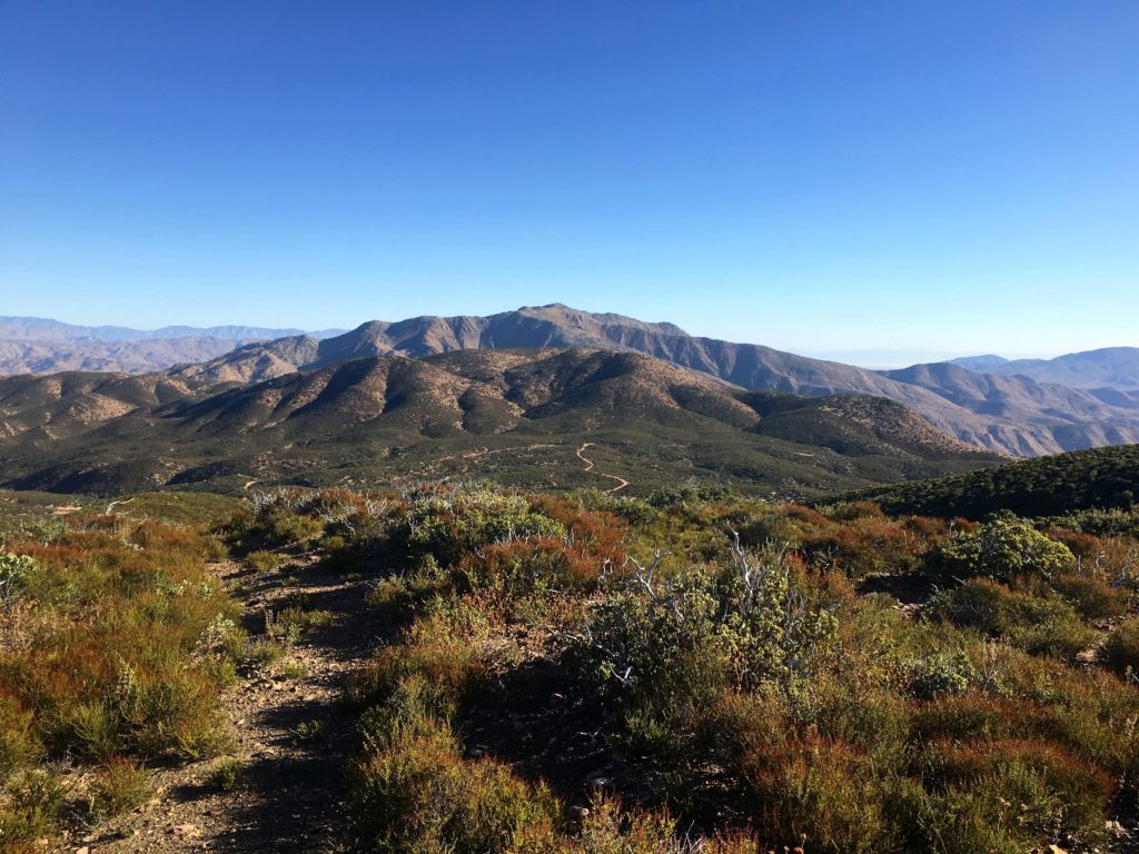
With the use trail found, I began my descent. Chariot Mountain is an inverted peak, meaning you start higher than the summit. The trail was not too bad, I certainly have bushwhacked through worse recently. It was as steep as I remembered from last time, but the uncertainty that hung over me was no longer there. Making it feel a bit easier. However, I still was not looking forward to ascending it on my return. Chariot Mountain was clearly visible across the valley, and Granite Mountain standing behind it.

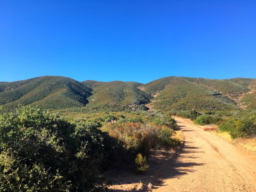
The trail came to end on Mason Valley Truck Trail. A wooden post on the side of the road would serve as a marker to locate it on the way back. The road appeared to have been graded not too long ago, as machinery treads were visible on the roadbed.
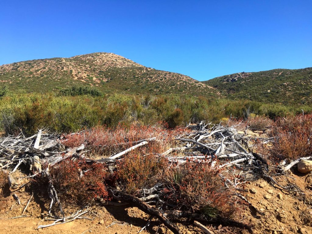
At the T, I turned right and Chariot drew closer. There is an old fire break that serves as the trail to the summit. In fact, the turnoff is marked by a bramble of deadwood blocking it from vehicle access. The climb up was steady, with one steeper section to deal with, but soon I reached the summit plateau and made my way to the true summit.


There is no Benchmark here, but tucked in some rocks was the register. As I enjoyed the views, I flipped through it, seeing many familiar names. After adding mine as a 2x’er, I headed back down, and then back up. Can you tell I wasn’t looking forward to that part…


The ascent up from the road went slow, my snack on the summit didn’t give me the boost I had hoped for. But I slogged on and finally reached the top. From there it was a pleasant stroll back across the meadow, again staying mostly on established use trails.
Chariot Mountain was #77 of #100PeakChallange.


I am an avid peak bagger, sometimes backpacker, and former sea kayaker living in San Diego. I am the co-author of Urban Trails: San Diego, available now!
In 2019, I became the third person to complete the San Diego 100 Peak Challenge. Not stopping with that accomplishment, I set my sights on the harder San Diego Sierra Club 100 Peak list, which I completed in 2021. In addition, I have conquered several Six-Pack of Peaks challenges (SoCal, San Diego, Central Coast, and both the Arizona-Winter and Arizona-Summer).
I am looking forward to exploring new summits and new adventures across the southwest.