I decided to take advantage of a break between the storms and head back out to Anza Borrego to attempt Sombrero Peak. Of my remaining peaks, this was one of the few peaks left that I felt comfortable hiking solo. The drive out was uneventful, sadly no Bighorn sheep this time. I drove past the turnoff to Indian Gorge to the Mountain Palms campground where some pit toilets are. Priorities.
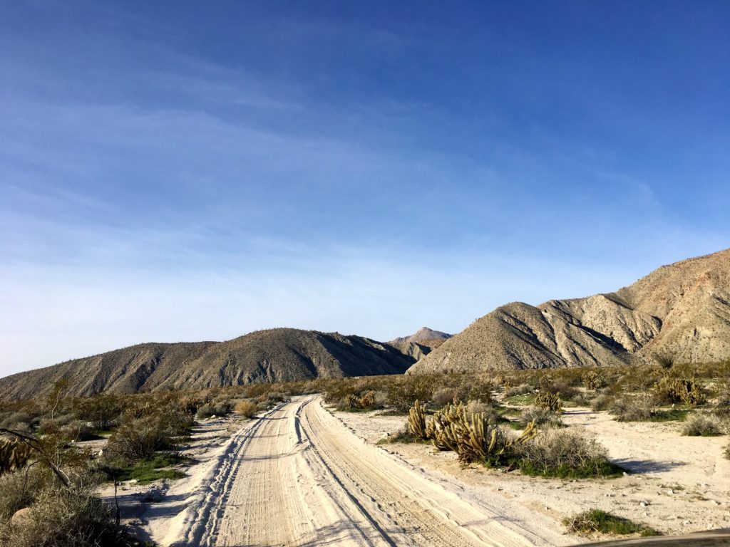
As I began driving down Indian Gorge toward the trailhead, I stopped and chatted with two folks out looking for wildlife. I told them about the herd from my earlier visit. I wished them well and headed down the road. The Outback handled the road without a problem, just a few spots that took a touch of care.
I reached the trailhead a touch before 9. As I geared up, I debated if I should bring my poles. Looking at the first part of the route, there was going to be a fair amount of bouldering, so I opted to leave them behind.


Passing the palm trees at the start of the trail, I headed southwest and began working my way up the gorge. I initially missed the side canyon that I wanted to take, I thought it was a bit further up the main canyon. Checking my map, I realized the canyon to the south I bypassed a couple of hundred yards back was the one I need to take. Doubling back, I worked my way up the first of several steep sections toward the summit.


Along the way, I gave my left knee a nice scrape while navigating a dry waterfall. With some field first aid applied, I continued on toward a gentle plateau. I was able to look out to the east and the green valley that I drove through earlier.
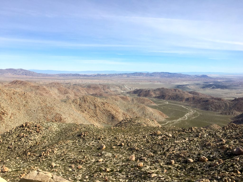
The actual peak was still hidden from view, but the route toward it was fairly straightforward, just go up…
I did not see any use trail or other markers, so I exercised my route-finding skills, avoiding the cacti and around the rocks that litter the slope. Eventually, I did find some footprints along the desert floor, so I let these be my guide when I could find them. This section was hard work. About every five minutes or so I would find a rock and catch my breath.
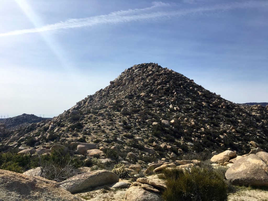
Cresting over the ridge, Sombrero Peak finally revealed itself to me. One last push to the summit. I scanned the slopes and saw a workable route to the top. Finally, I had reached the summit! This was one hard peak to bag. The descriptions that friends had given me were accurate in the difficulty of summiting this peak. I found the register, and as I took the time to read past entries, I saw many familiar names.


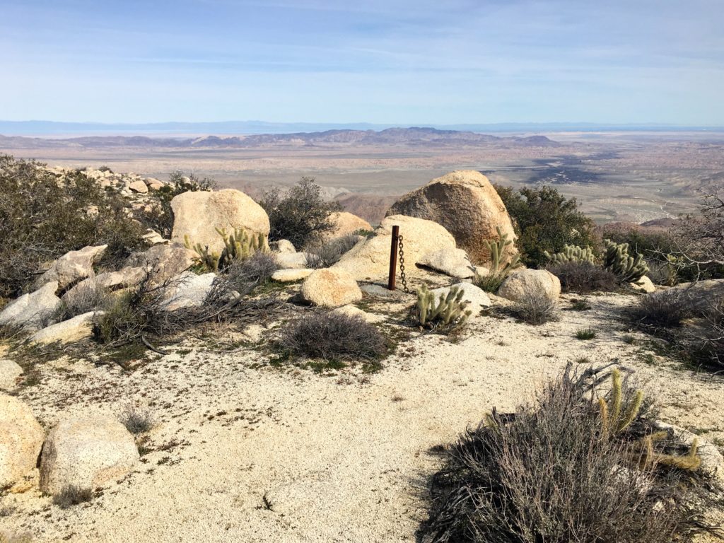
I scrambled around a bit looking for the survey marker, I suspect it was atop one block I did not feel comfortable scaling solo. Looking to the east, the windmills of McCain Valley seemed awfully close. I had read several trip reports about folks hiking over from the west.


I knew I still had a hard descent ahead of me and began heading back down. Initially, I was disappointed I did not find the mystery post and chain, and bam! there it was.
Remember, my decision to leave my hiking poles back in the car? Yeah, big mistake. I felt it some when I was climbing, but now I really could use them. I took a more direct path down (the more northern track on my map) toward the top of that side canyon. I worked my way down the canyon, scrambling down the rocks, and soon the tops of those palm trees came into view. Before I knew it, the glinting sun off my car was visible.
All told the hike was only 3 miles, but it took over 4 hours of hiking time and gained over 1,906 feet of elevation.


I am an avid peak bagger, sometimes backpacker, and former sea kayaker living in San Diego. In 2019, I became the third person to complete the San Diego 100 Peak Challenge. Not stopping with that accomplishment, I set my sights on the harder San Diego Sierra Club 100 Peak list, which I completed in 2021. In addition, I have conquered several Six-Pack of Peaks challenges (SoCal, San Diego, Central Coast, and Arizona-Winter). Beyond attempting the San Diego Sierra Club 100 Peak list a second time, I am looking forward to exploring new summits and new adventures across the southwest.